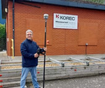
Our Land Surveying Equipment Range
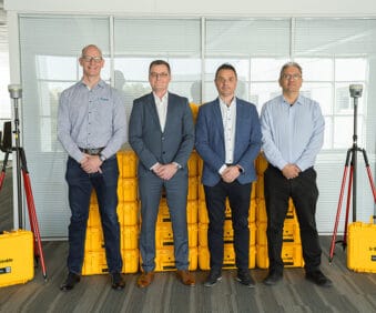
Although we offer land surveying equipment from many of the top manufacturers in the industry, the core of our offering is our Trimble product range. We are proud to have been a Trimble partner for over 20 years, during which time we’ve been instrumental in bringing some of their cutting edge technology to the UK and Ireland markets.
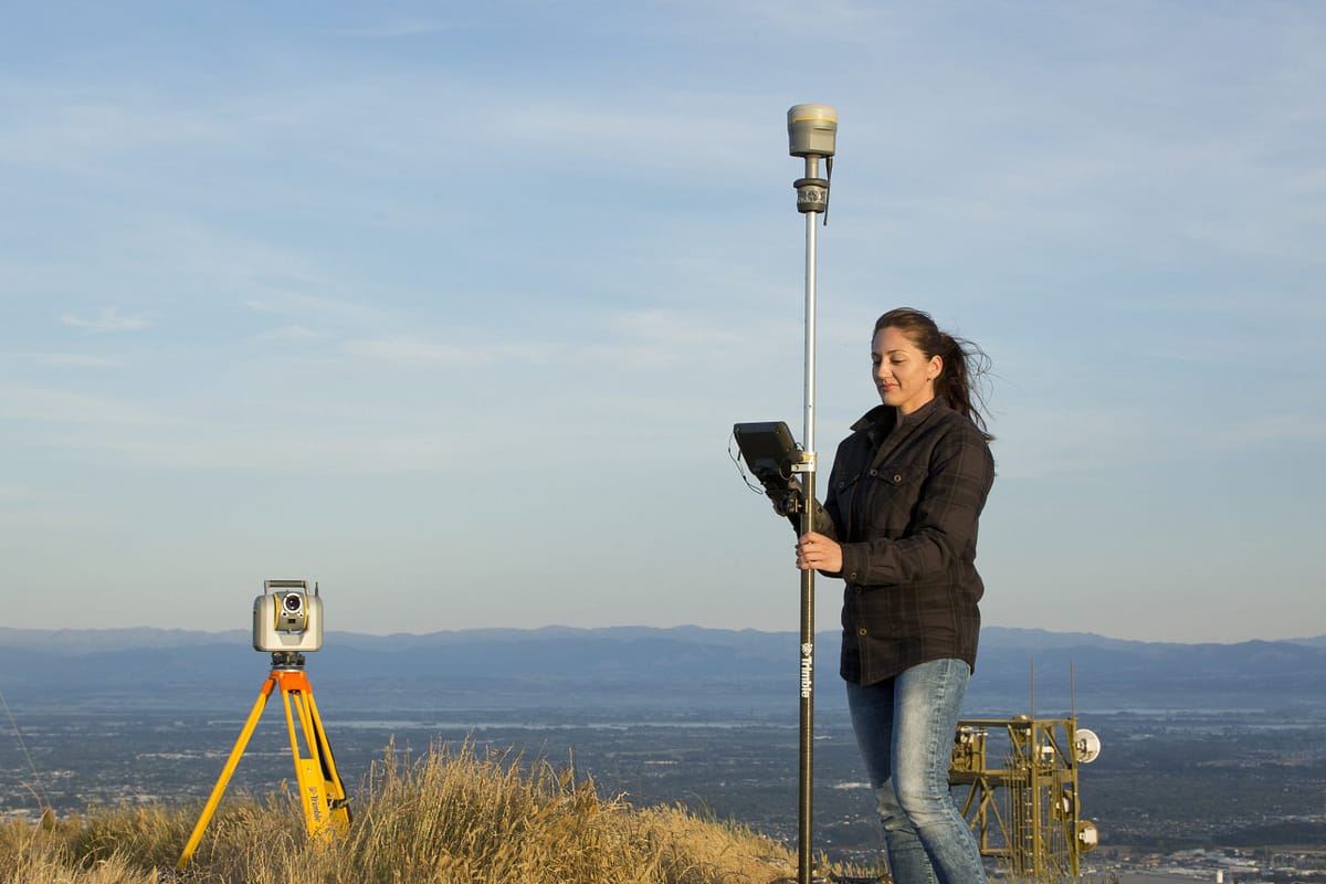
Trimble makes some of the best surveying instruments and software on the market, covering all the measuring tools you could require. Whatever your surveying needs, there will be a Trimble product to fulfil them. From the revolutionary SX12 Scanning Total Station to the innovative Trimble R12i GNSS with its unique patented technologies, Trimble is always leading the way when it comes to land surveying.
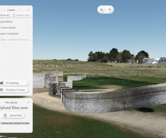
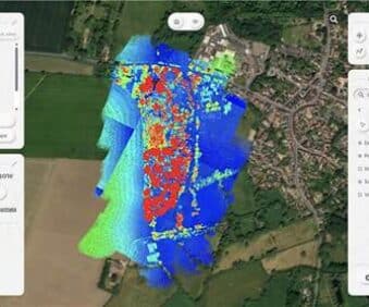
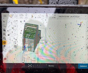
Trimble Business Centre offers a complete field-to-finish software solution, eliminating the need for surveyors to learn and use numerous software packages, while Trimble RealWorks is a powerful office software that enables survey professionals to manage, process, analyse and visualise the vast amounts of spatial data collected from 3D scans.
Aside from Trimble’s solutions, we also offer a wide range of UAVs and surveying drones, such as the Parrot ANAFI USA, a powerful drone built to meet the demands of first responders, firefighters and search-and-rescue teams, that can be ready to launch in under a minute and a choice of AgEagle’s fixed wing professional survey and mapping drones.
And all of this is backed up by extensive technical support and training, available over the phone, in person or online.
Land Survey Applications
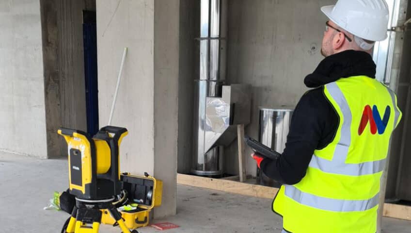
Whatever type of land survey you are looking to carry out, you’ll find all the tools, equipment and accessories you need in our range. From construction applications and utilities surveys, to crime scene mapping and forestry surveys, our solutions have got you covered.
As well as our on-site surveying tools, we offer a broad range of software specifically tailored to suit different industry applications, such as KOREC Capture’s Canopy module for forestry management, and Trimble Forensics Reveal for crime and accident scene mapping.
Take a look at our industries page to see how our solutions are tailored to support teams working in these different sectors, find out more about hiring survey equipment or get in touch to discuss your land surveying equipment needs.