Trimble RealWorks
£POA
PRODUCT ENQUIRY
Point cloud processing and analysis software for 3D laser scanning professionals
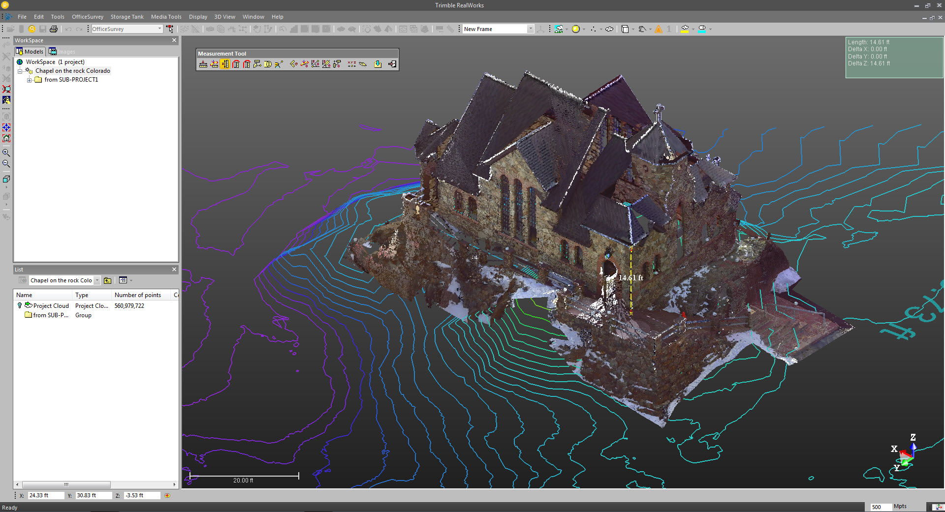
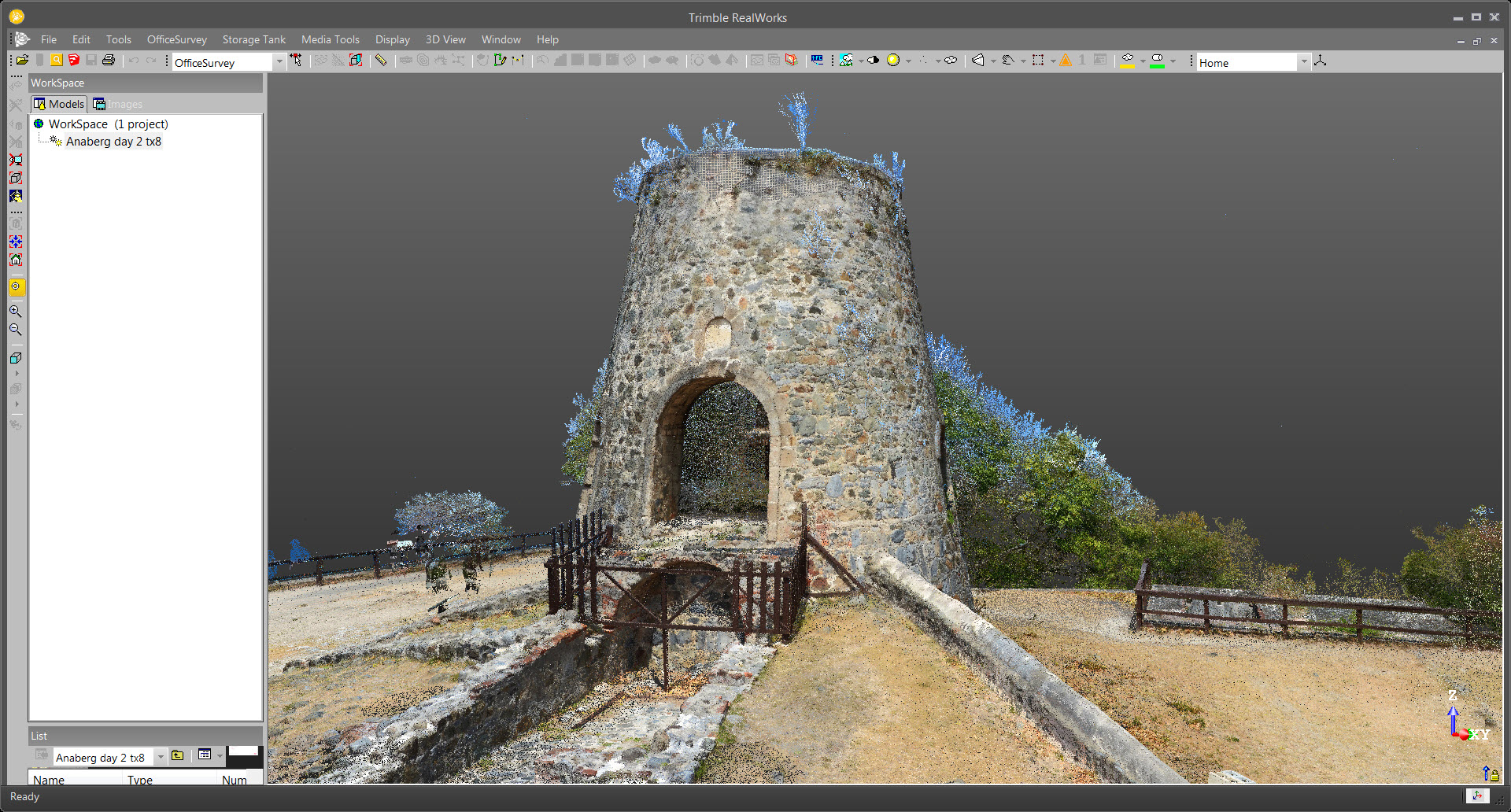
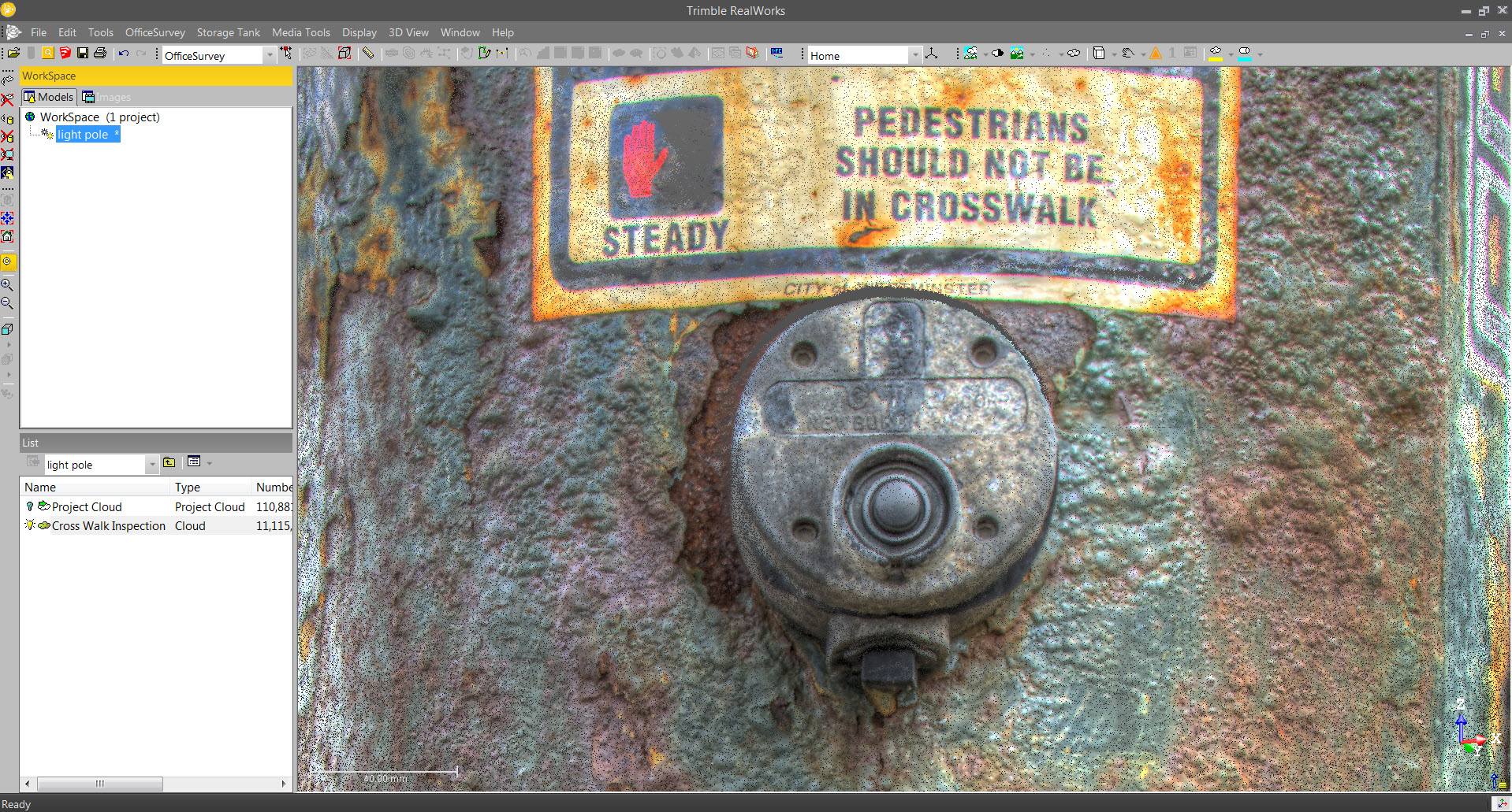
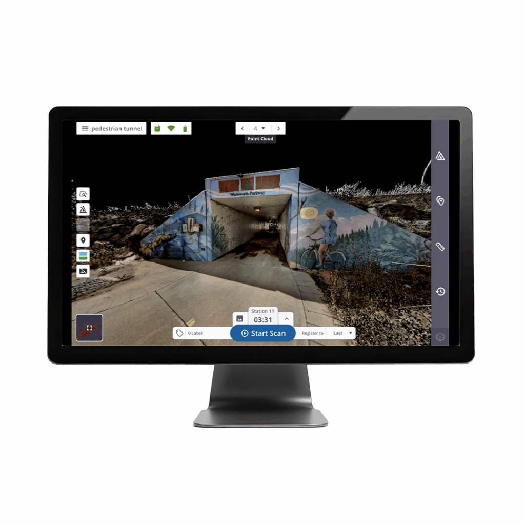
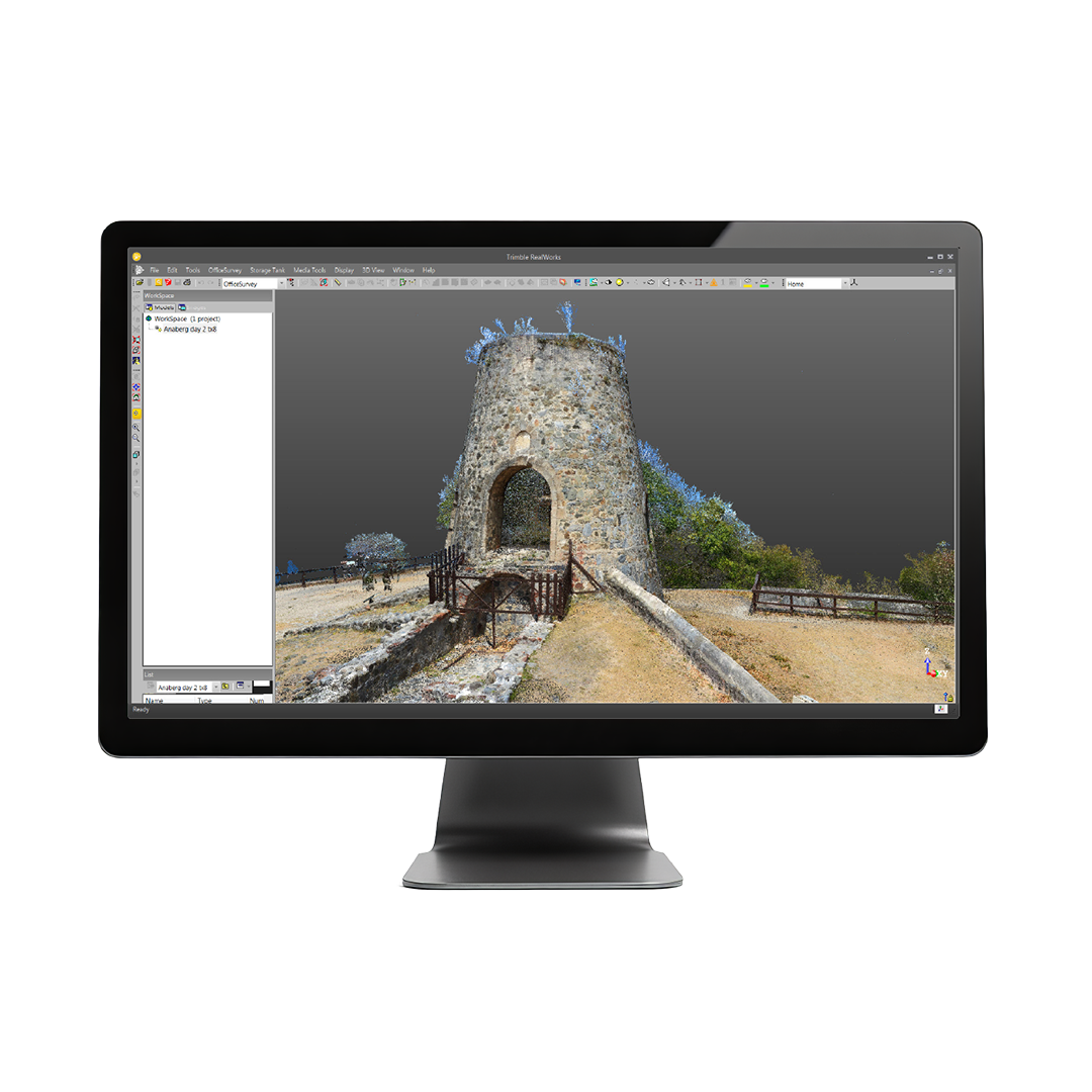
Import point cloud data from virtually any source, then quickly process, analyse and create high-quality deliverables with the automated tools and point cloud-specific workflows of Trimble RealWorks software.

Starter editionEfficient point cloud tools
Leverage surface creation and editing, volume calculation, and orthophoto generation for basic point cloud registration, navigation and viewing.
Core editionDeep processing & analysis
Deploy automated object classification, 3D inspection tools and automatic registration for target and target-less projects.
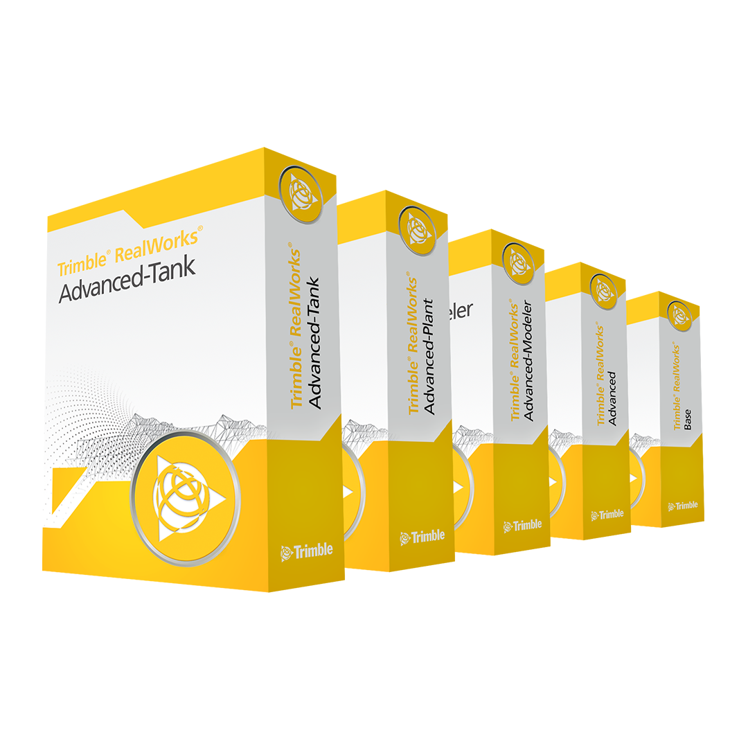
Performance editionSpeciality tools for modelling
Add models to point clouds with fitting, extraction and editing of shapes. Utilise tools for modeling plant objects.
Storage tank editionInspection & calibration
Use highly automated tools for storage tank inspection and calibration to easily create reports from scanning data.
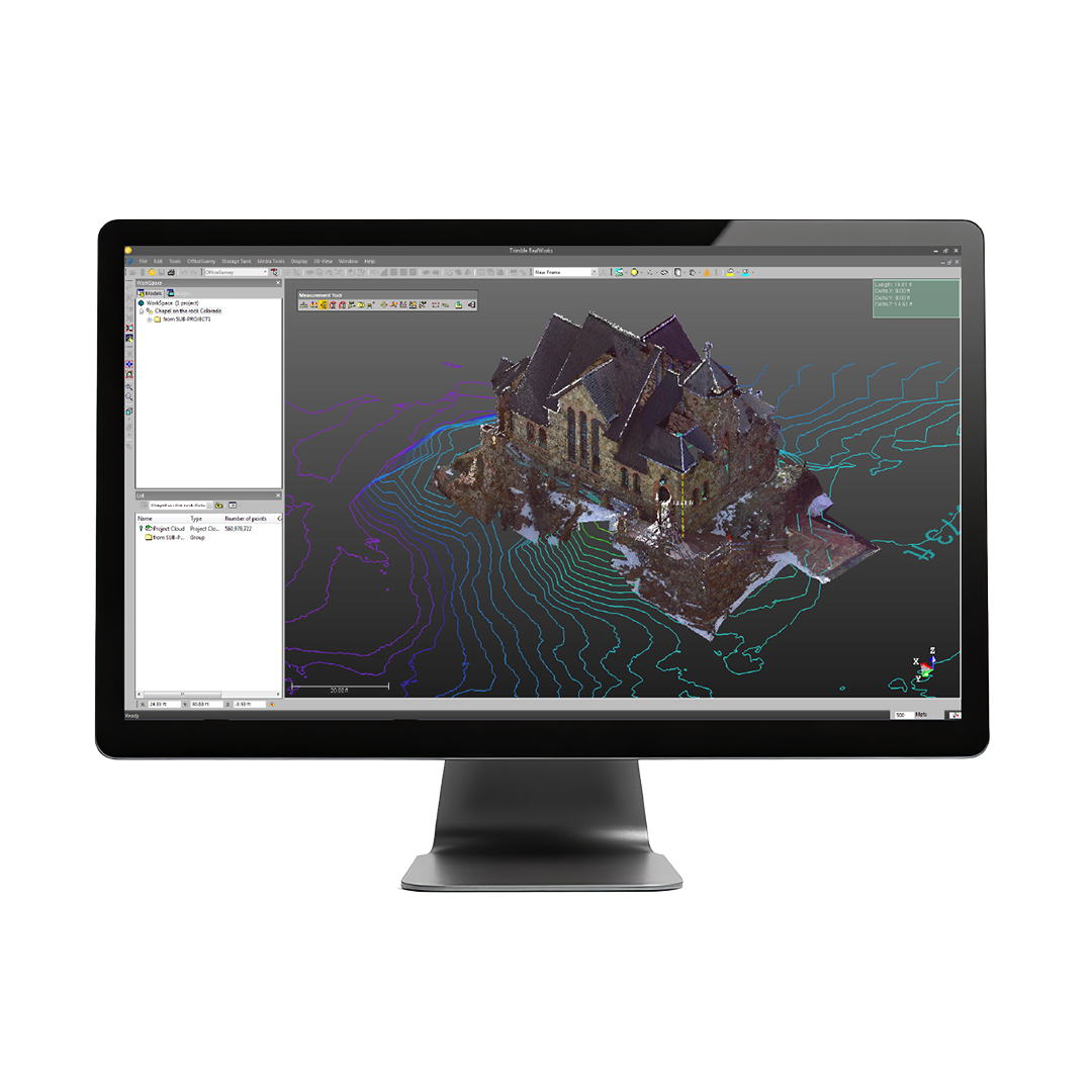
Developed for point cloud processing and analysis, Trimble RealWorks registers, analyses, models and creates deliverables using data from virtually any source to create high-quality deliverables. Automated tools and workflows are designed to meet your scanning needs.
• Specifically designed: Point cloud processing & analysis
- Complete solution: Register, analyse, model & create
- Create deliverables: With data from any source
- Automated tools: Registration & point cloud cleanup
- Tools & workflows: Made for point cloud processing
- For any project: Access all the processing tools
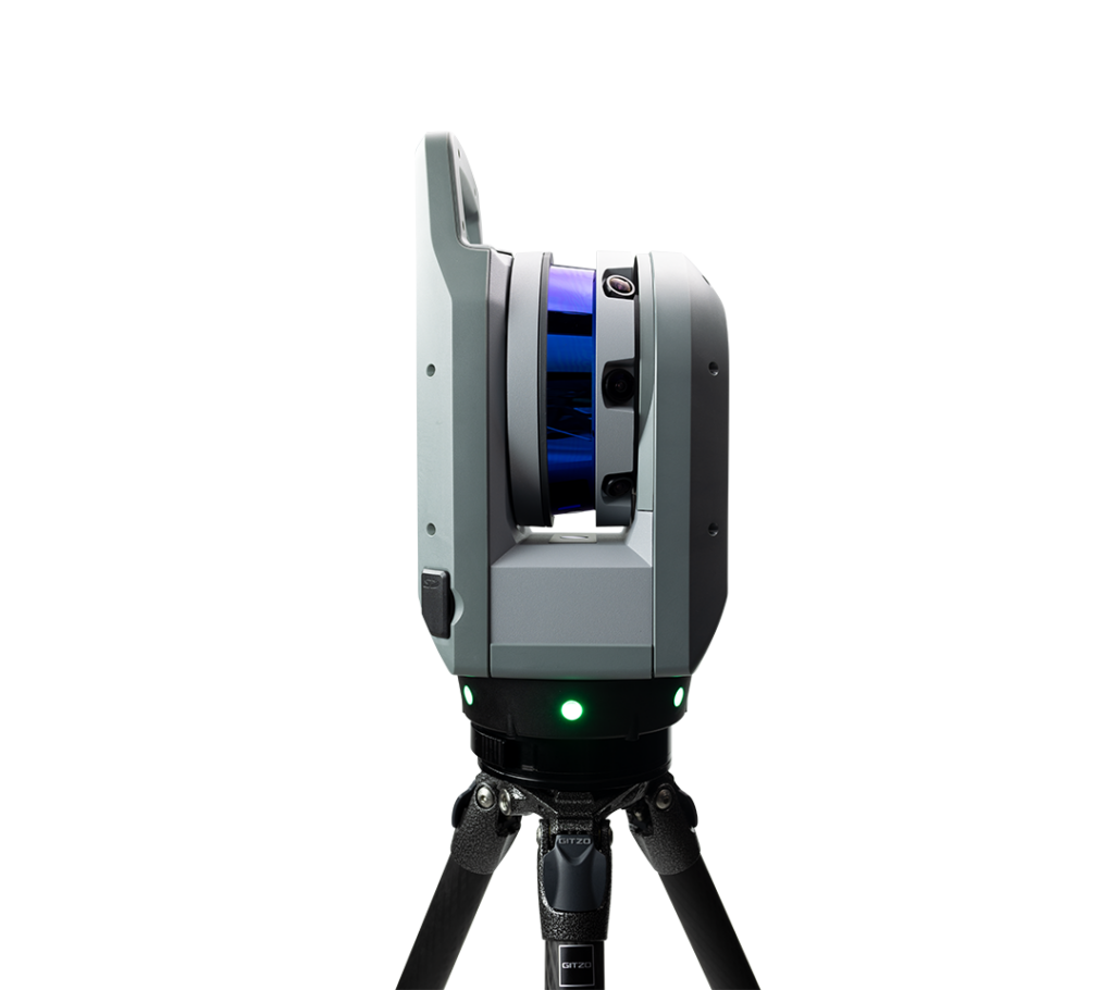
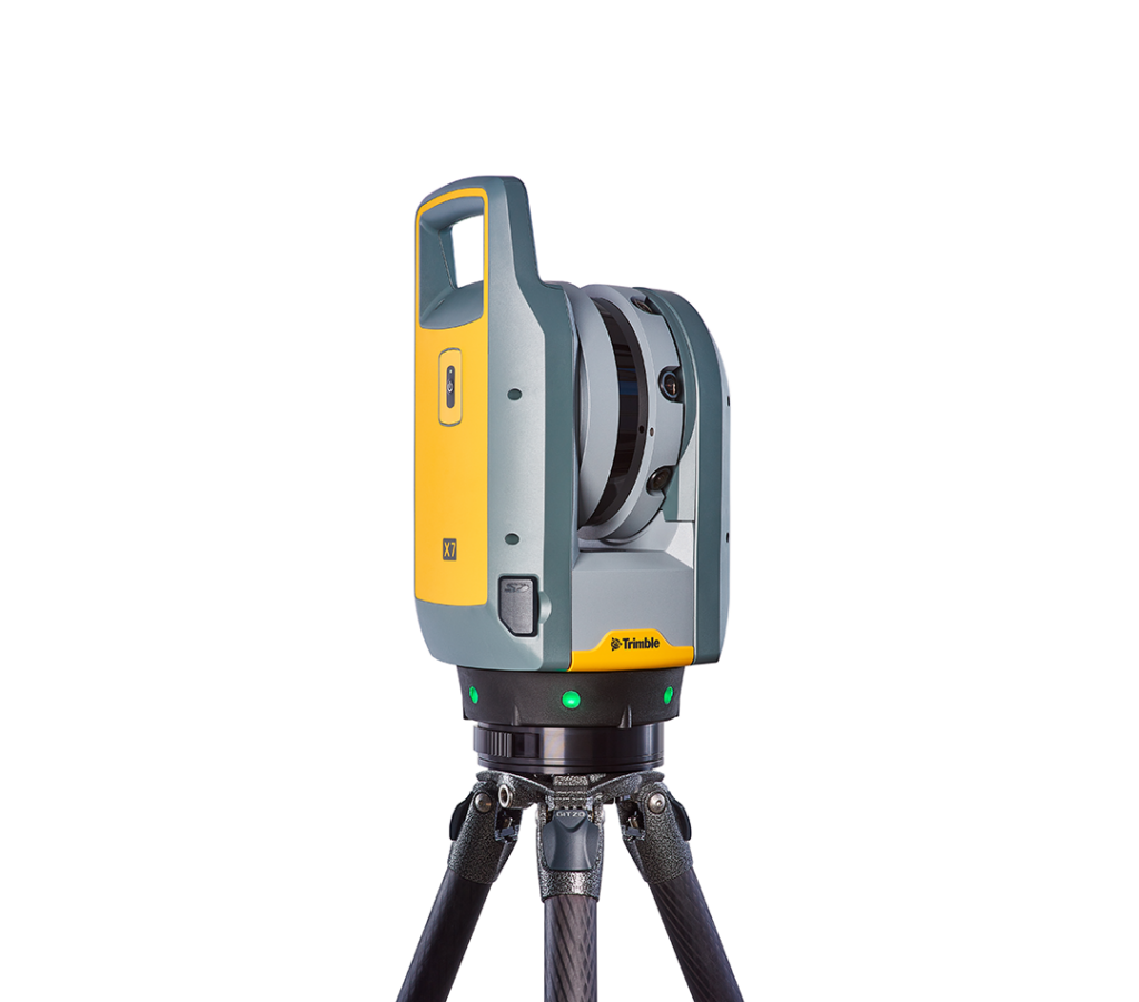
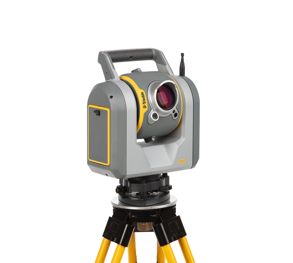
Trimble X7
Delivering powerful performance with simple operation.