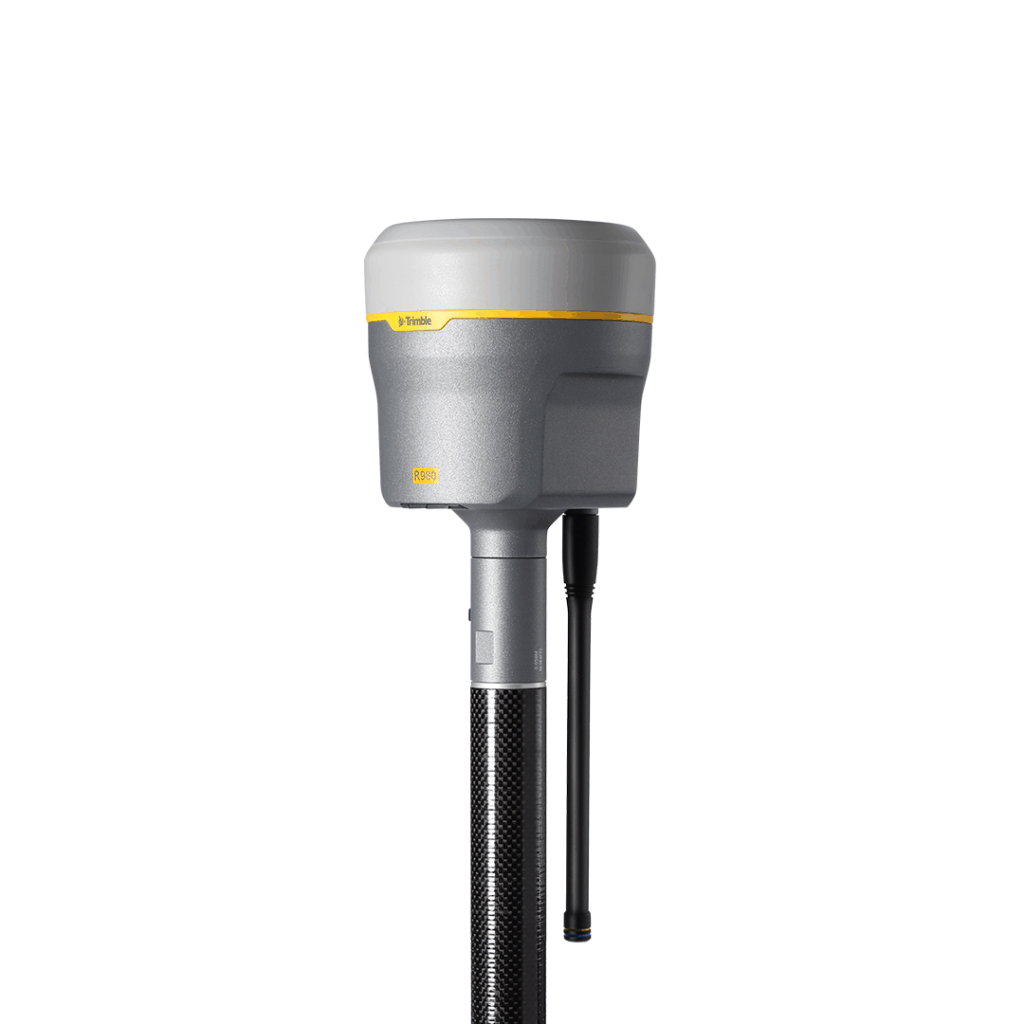
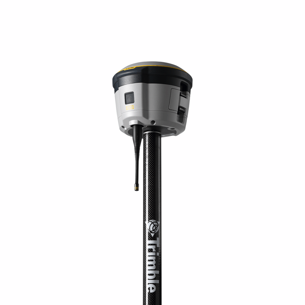
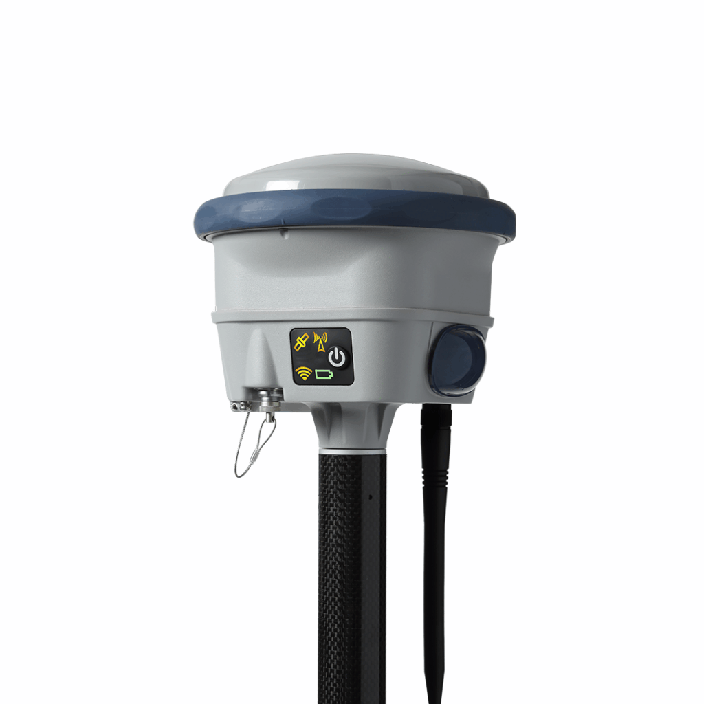
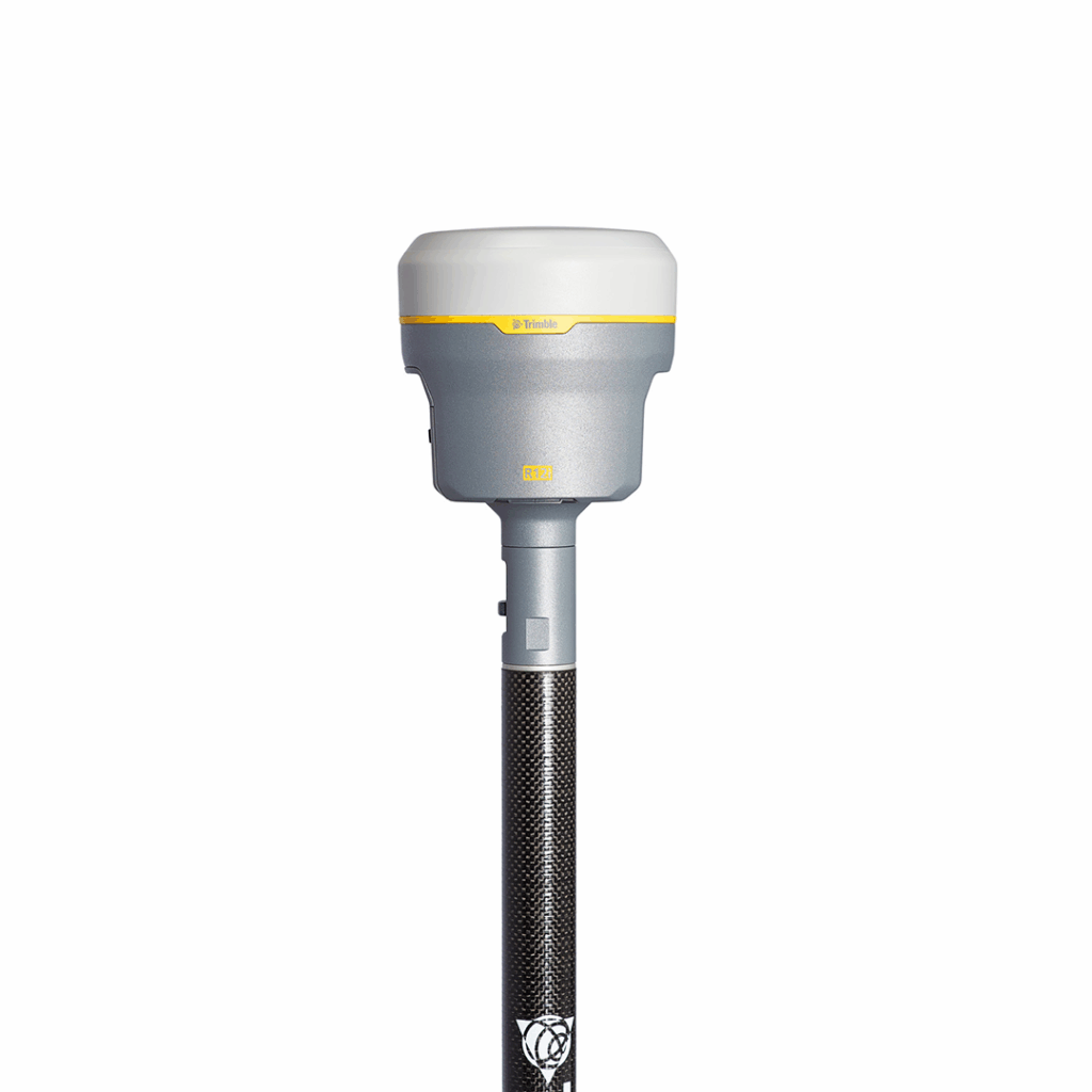
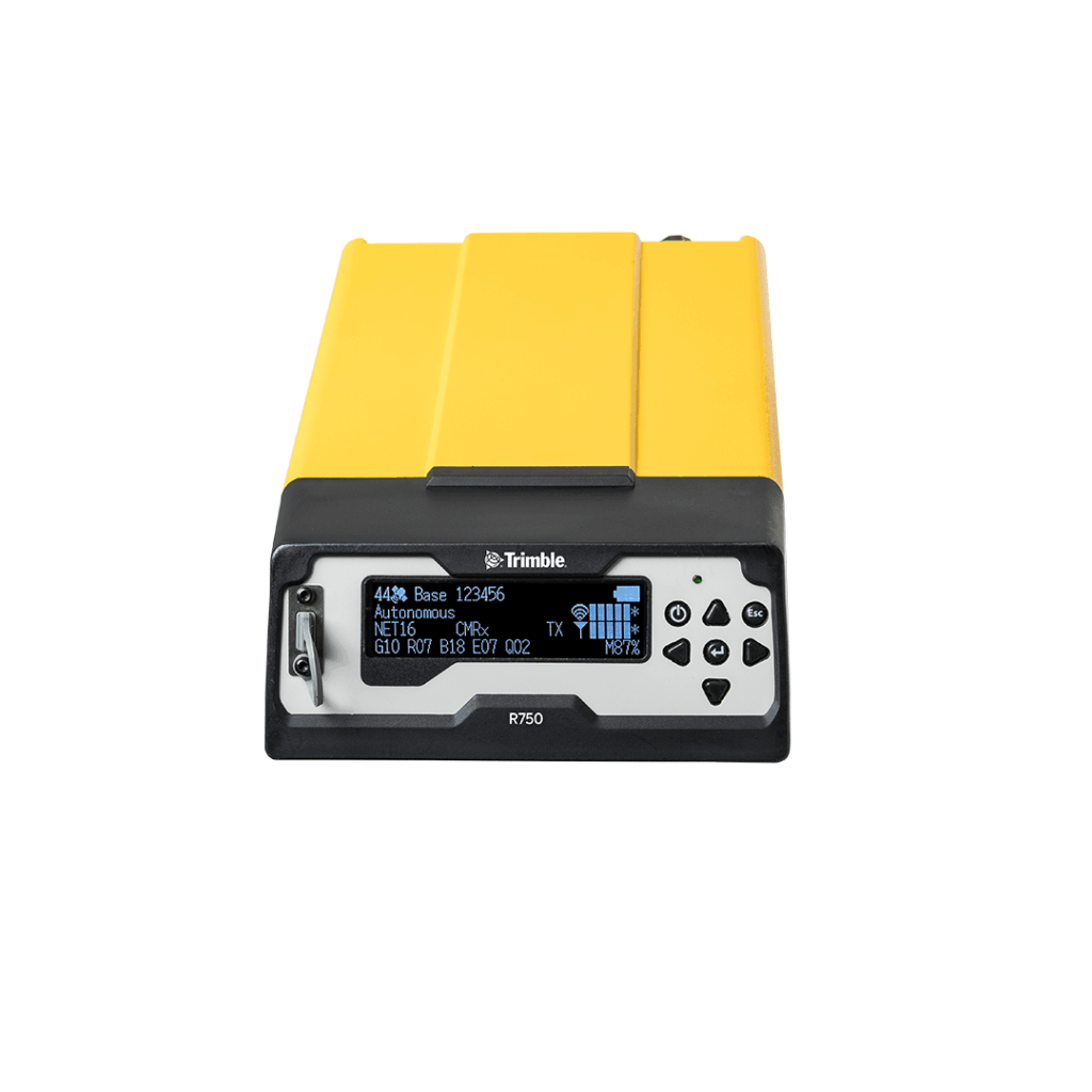
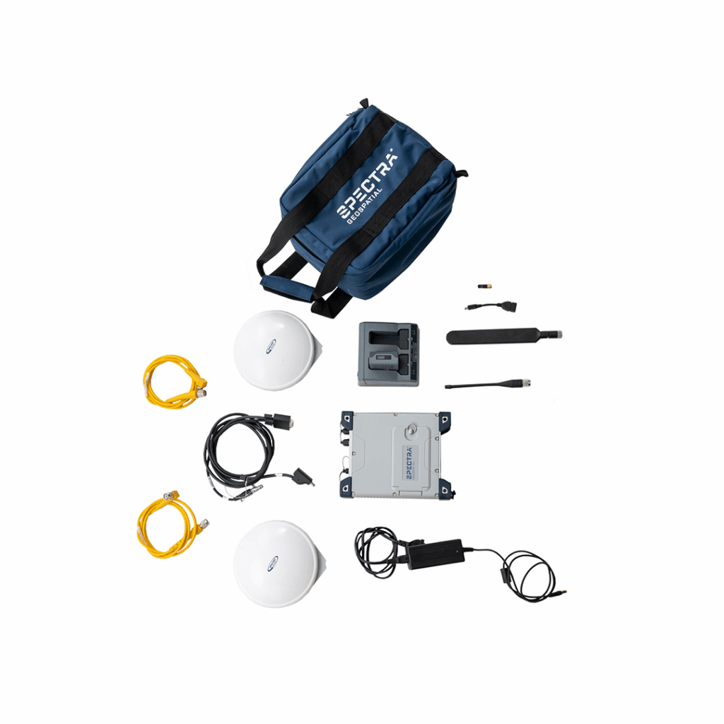
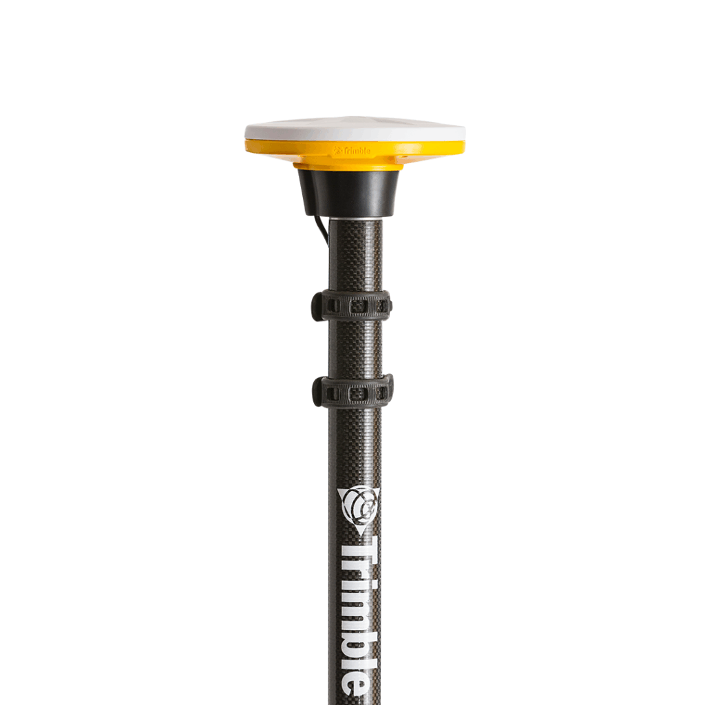
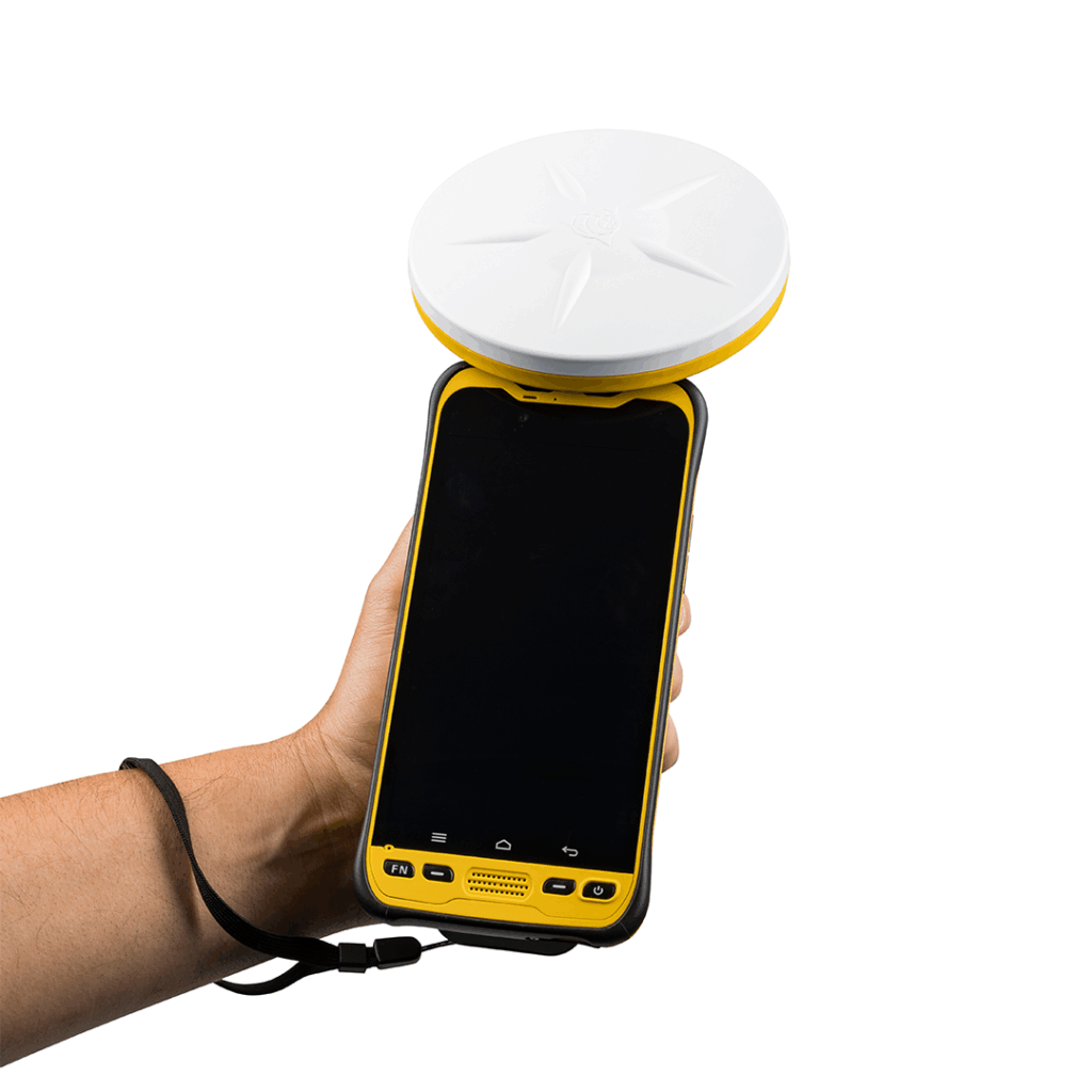
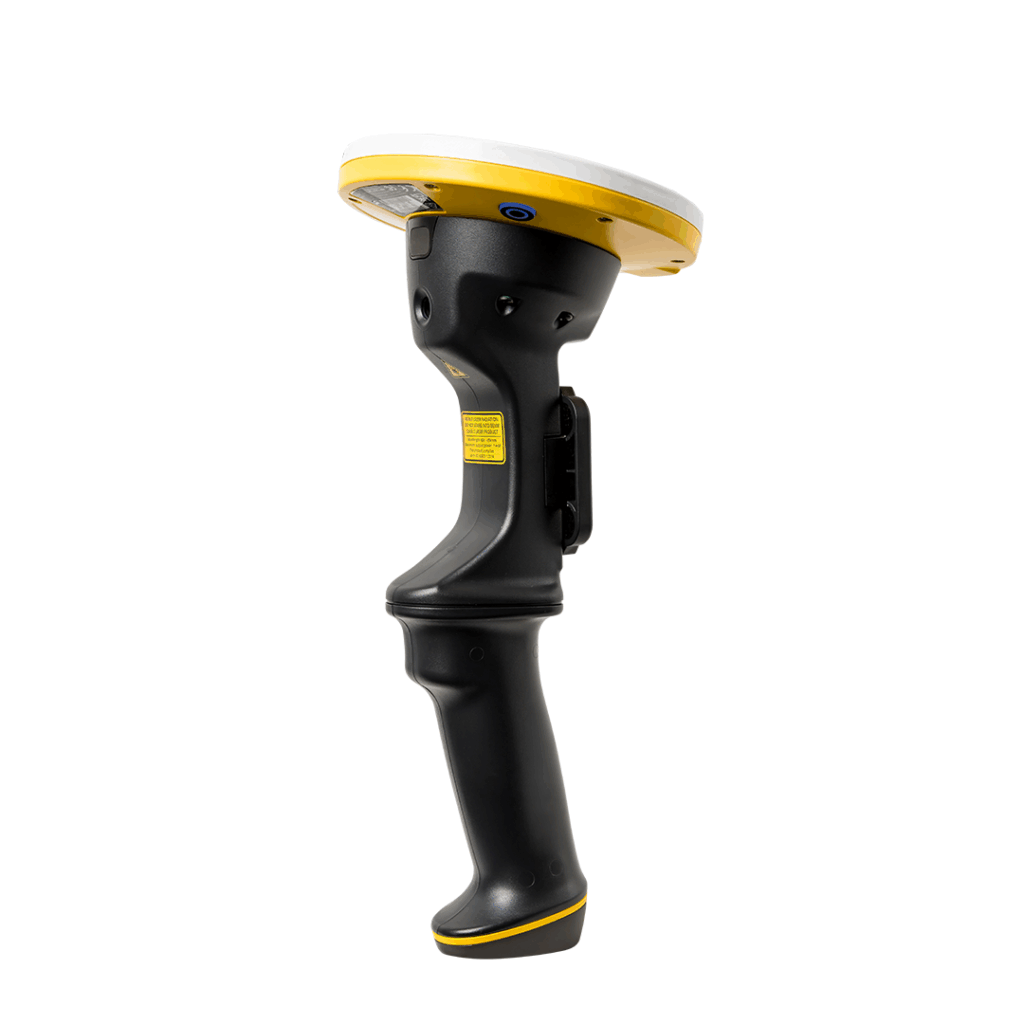
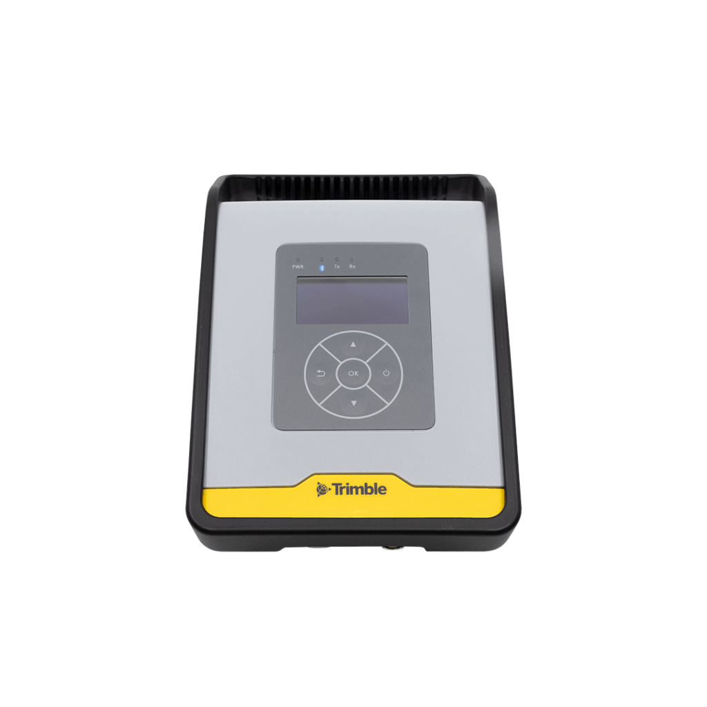
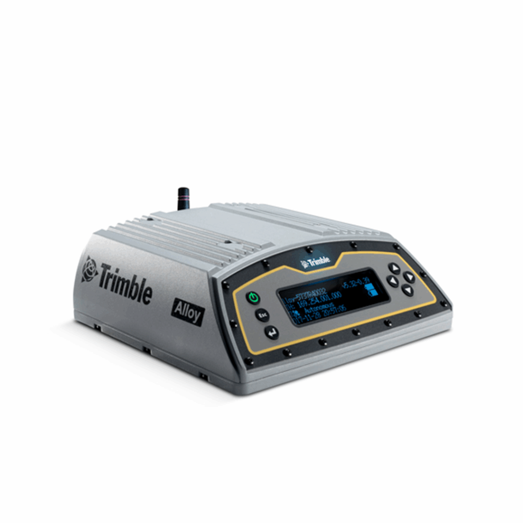
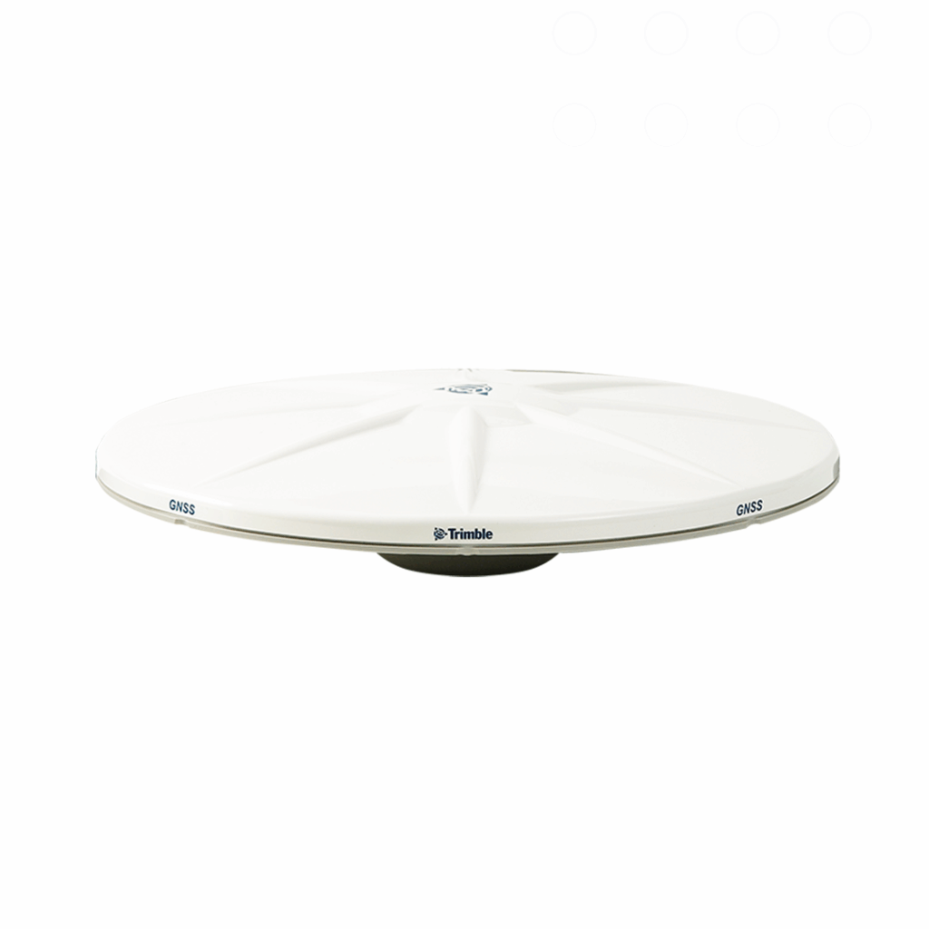
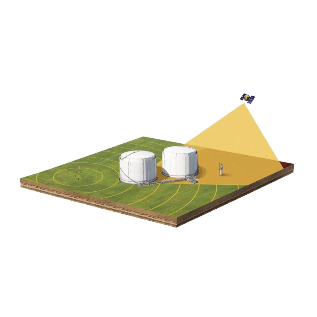
GNSS Systems

Robust, reliable and precise GNSS and GPS survey solutions from Trimble. Innovative technology designed to meet the complex needs of surveyors across all industries. 

As the UK and Ireland’s largest Trimble distributor, KOREC supplies a wide range of surveying, mapping and geospatial solutions to multiple industries. In particular Trimble is renowned for its innovative GNSS surveying equipment, establishing its reputation over 30 years.

We supply a range of Trimble GNSS and GPS systems, controllers and receivers, combining state of the art technology with powerful data management. From fully-integrated GNSS solutions to modular receivers, and GNSS correction services, there is a solution for every application.

Integrated GNSS Systems

Modular GNSS Systems

Software Based Receivers

Software

Antennas

What is GNSS in Surveying?

GNSS stands for global navigation satellite system (i.e. any satellite system with global coverage). In surveying it is the use of a GNSS or GPS receiver to determine the position of objects or points in space in relation to other objects or points.

GNSS/GPS satellites send out signals, which are picked up by receivers and antennas, giving a precise location and time. These can be used in positioning survey markers, deformation monitoring or asset mapping. GNSS surveying systems use RTK (real time kinematic) positioning, a highly accurate technique which provides real-time correction to GNSS through the application of a fixed base station and roving antenna.

The main benefit of GNSS is that it is much faster than traditional surveying methods, and is ideal for mapping larger areas, where centimetre-level accuracy is sufficient. Some systems also allow for sub-centimetre levels of accuracy. 

What is the Difference between GNSS and GPS?

Global navigation satellite systems can refer to any satellite-based systems that provide positioning data. GPS (global positioning system) is just one type of satellite that provides this information (and is also the oldest satellite navigation system). Others include GLONASS, Galileo and BeiDou. 

Trimble GNSS Receivers

These systems work with multiple systems, including GPS, GLONASS, Galileo and QZSS. Trimble systems are renowned for being innovative and groundbreaking, with the latest releases including the Trimble R12, which introduced geospatial professionals to Trimble ProPoint™ GNSS technology which greatly improves performance in challenging GNSS conditions. 

Meanwhile, the Trimble R12i offers Trimble TIP Tilt Compensation Technology – Inertial Measurement Unit (IMU)-based tilt compensation for accurate setting out and measuring points without precisely levelling the pole.

Other Trimble GNSS receivers include the Trimble R10, designed to collect more accurate data faster and easier and the Trimble R8s, a configurable receiver that is scalable for future needs, the Trimble R2 which is also suitable for GIS mapping data capture applications and the pocket sized Trimble R1 designed for mobility.

Data Collector-compatible

As well as bringing excellent accuracy and reliable performance, Trimble GNSS systems can be used with a choice of data collectors. These range from the high-end powerful Windows  Trimble TSC7 which combines a large screen with rugged performance running Trimble Access field software, to the Android Trimble TDC600 handheld, a sleek, all-in-one rugged smartphone with a built-in professional GNSS receiver that runs the newly launched Trimble Access 2020 software.

GNSS Correction and Continuous Coverage

The GNSS systems in our range are fully compatible with Trimble VRS Now, Trimble’s RTK (real time kinematic) positioning correction service. 

Other Trimble GNSS correction technologies include Trimble CenterPoint RTX® Correction Service providing RTK level precision worldwide without the need for a base station or VRS network. Meanwhile Trimble xFill® Technology is designed to keep you working in radio and cellular black spots with continuous RTK coverage.

Why Choose a Trimble GNSS System from KOREC?

We are the largest distributor of Trimble mapping and surveying solutions in the UK and Ireland, and one of the largest in the world, having been in partnership for over 20 years. During that time, we’ve been instrumental in bringing some of Trimble’s pioneering solutions to the UK and Ireland markets, including innovative augmented reality and total station technology. 

As a Trimble partner, we not only offer a sales and hire service, but a full range of technical support, servicing and Trimble-certified product training, plus over 50 years of industry experience. Get in touch to find out more about our after-sales service and how we can help your business and team be as effective as they can be.