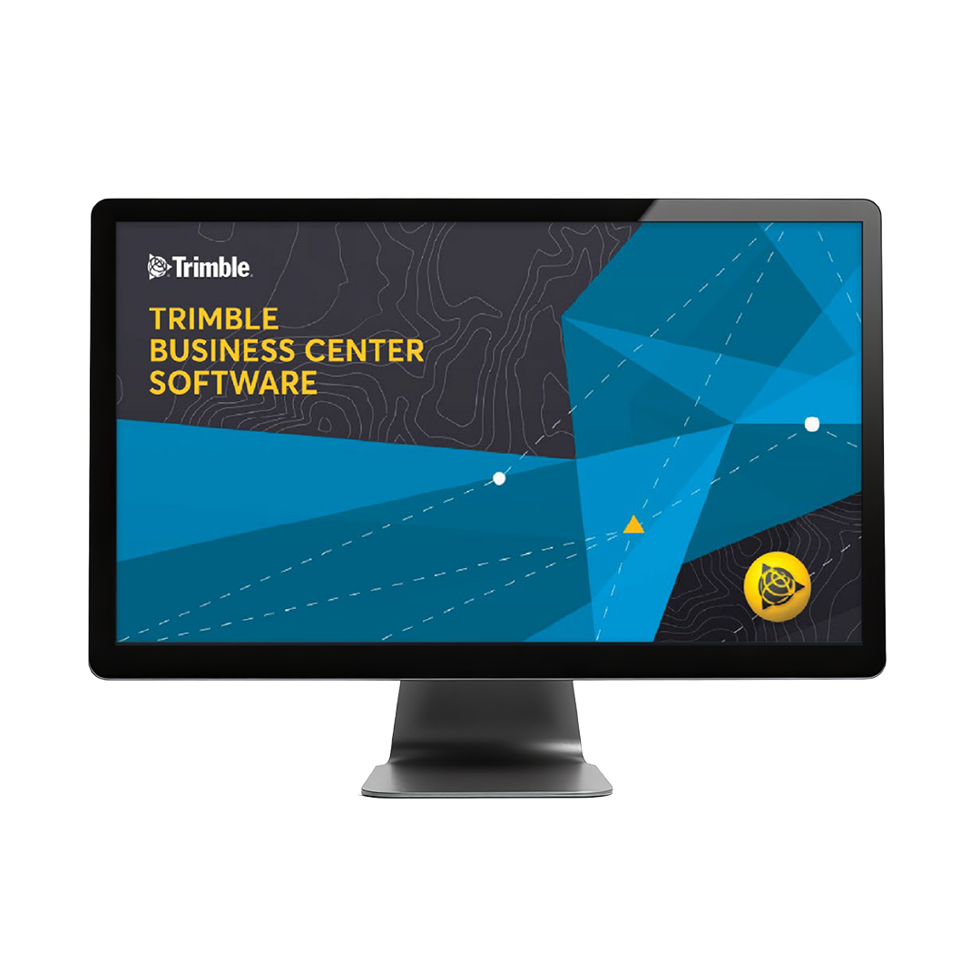

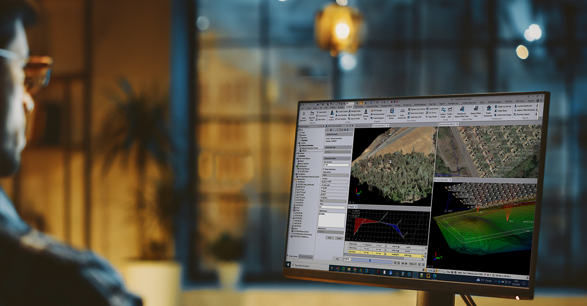
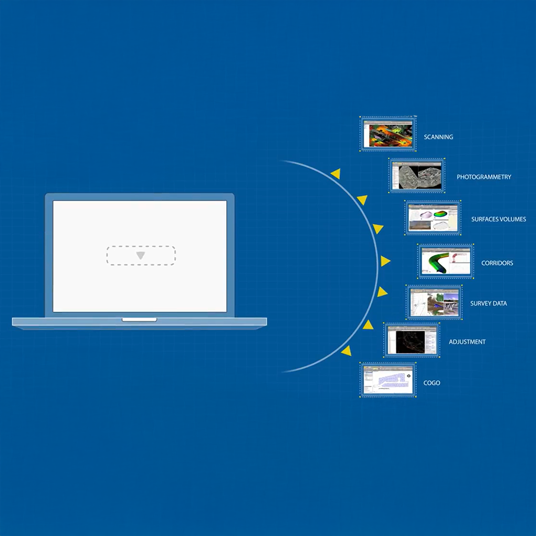
Trimble® Business Center (TBC) software enables surveyors to transform field data from GNSS receivers, total stations, laser scanners, mobile mapping systems, drones and more into high-quality, actionable information and client deliverables.

Work with data not coordinates
Review and adjust metadata like pole heights and vector quality, and then refine your raw observations with a least squares routine or GNSS post-processing.

Supports all survey sensors
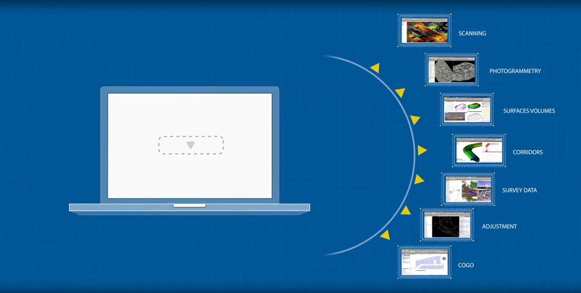
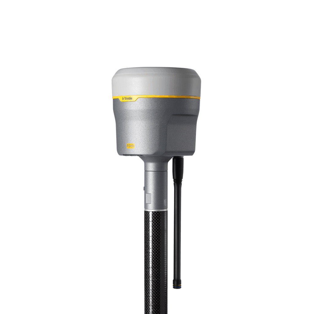
Bring your GNSS, total station, digital level, terrestrial scan, UAV, mobile mapping and machine control data into one project environment.
Report and share results
Work across standard industry hardware formats. Then, connect your project to software providers such as ESRI, Autodesk, Bentley and more.
Report, create, export and more
Start and stay in TBC with options like adjustment reports, digital surfaces, classified point cloud regions, constructible corridors and third-party exports.
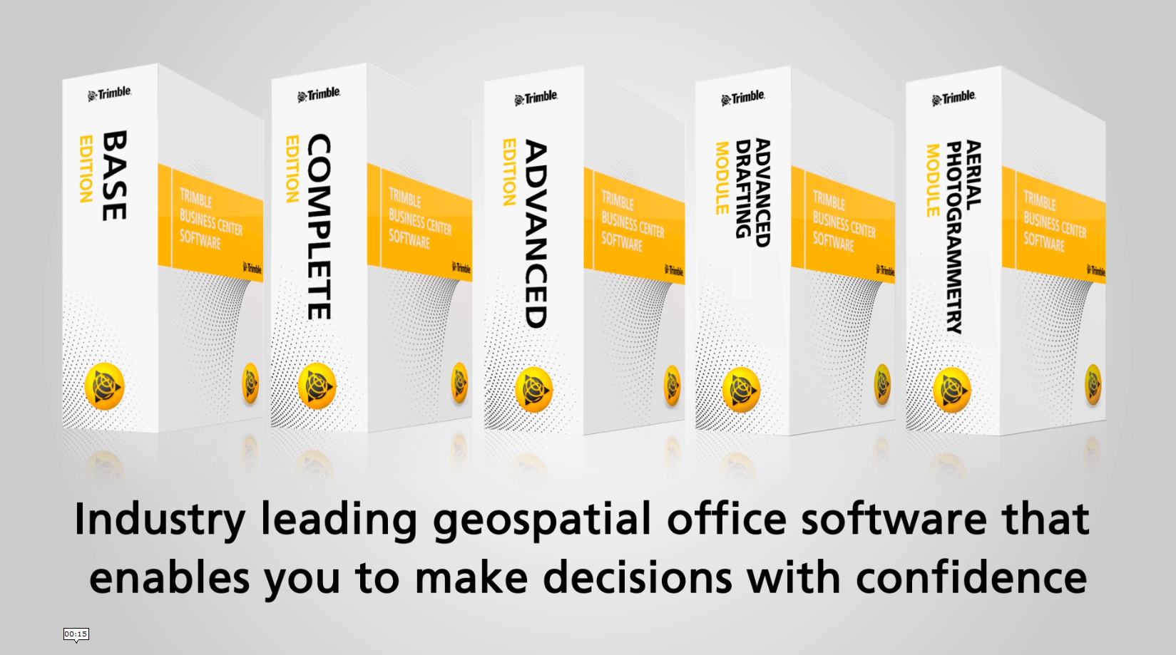
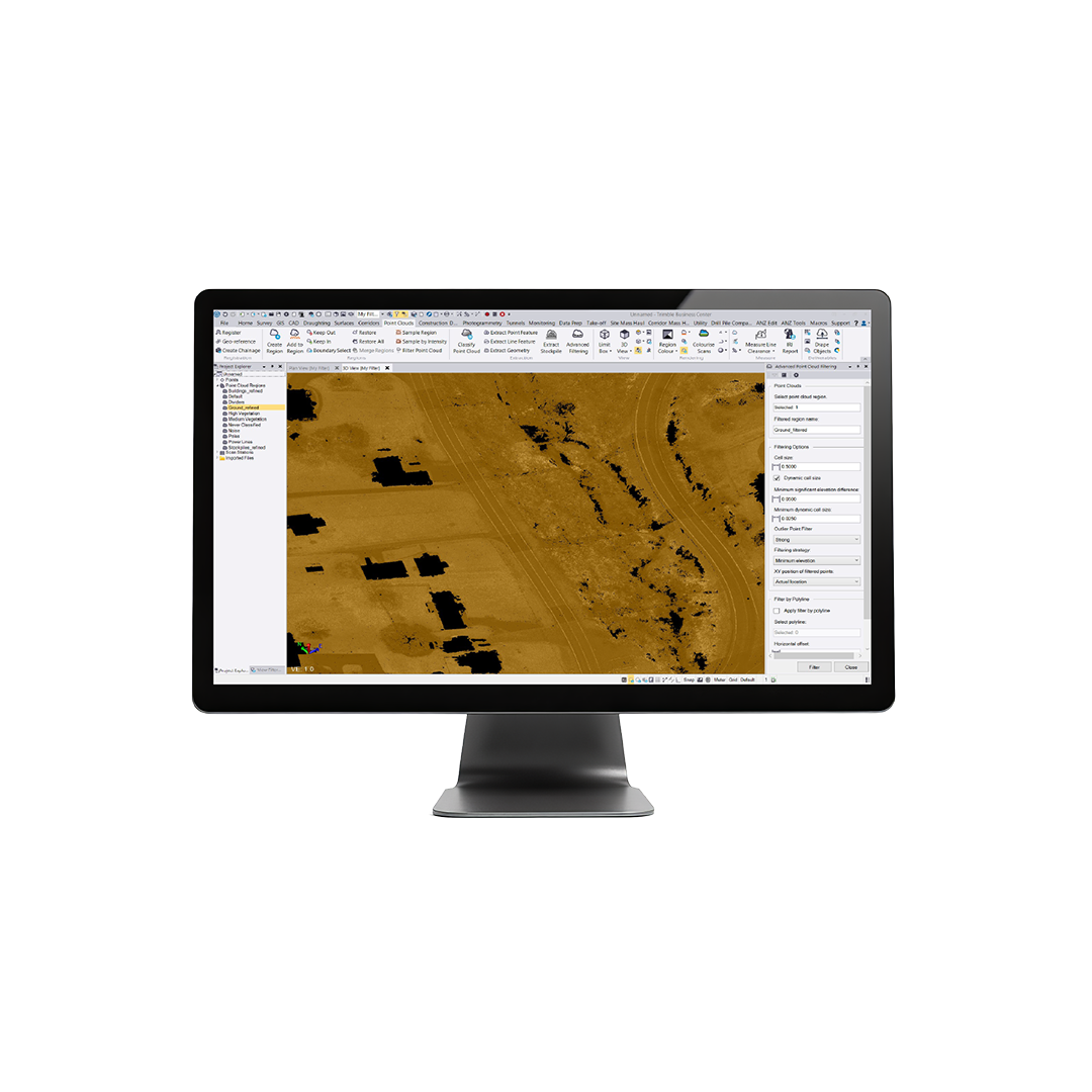
Leverage the power of raw geospatial and construction data in a single, robust software environment. Engage with powerful, streamlined workflows designed for users to take data further with survey, CAD, surface, corridor, point cloud, and photogrammetric deliverables.
- Data prep – create constructible models
- Field data adjustment – reduction and post-processing tools
- GIS – link attributes & geometry to Esri
- Point clouds & scanning – extract info and classify regions
- Surfaces – dynamically link & update
- Takeoff – quantities for planning & payment

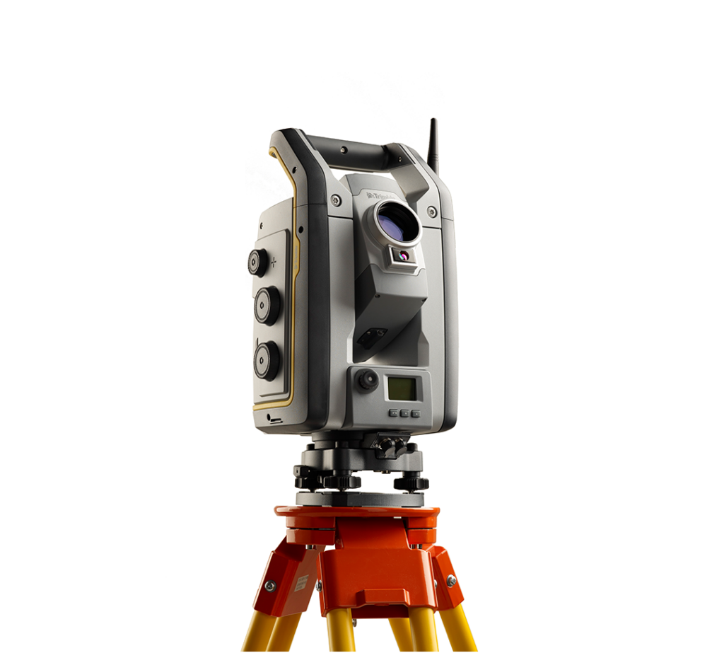
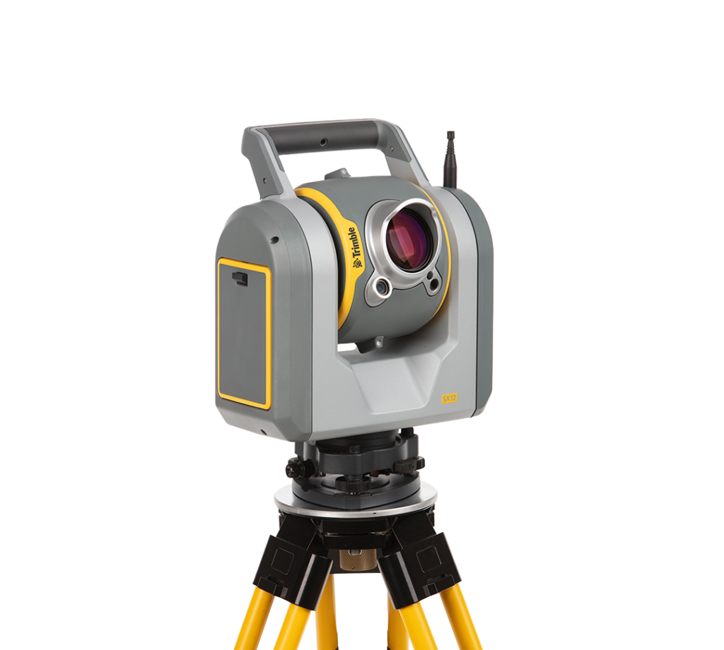
New KOREC Case Study: Streamlining Success
How the Trimble SX12 Scanning Total Station saved vital time on HS2’s Chiltern Tunnel whilst providing the highly detailed documentation and as-builts that contributed to the tunnel’s successful delivery by Align JV.
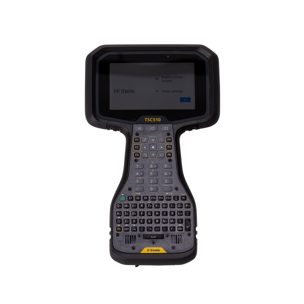
Trimble TSC510
Connect to a better way to work with this robust, top-tier controller
£POA
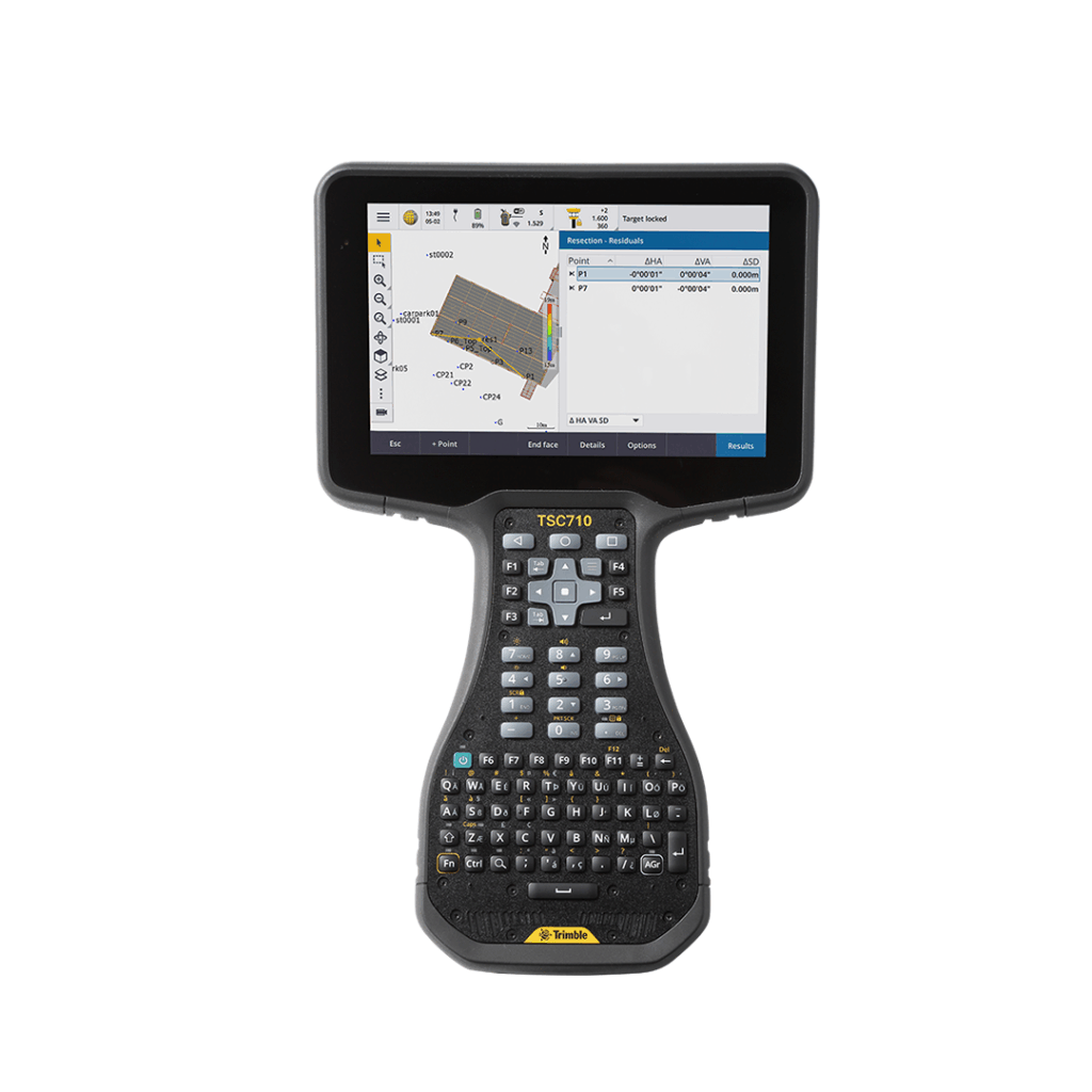
Trimble TSC710
Connect to a better way to work with the all-new Trimble TSC710
£POA
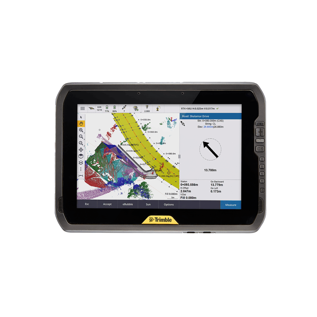
Trimble T100
A tablet designed to unlock powerful surveying capabilities.