Trimble

Bridge the digital and physical with Trimble surveying solutions

Trimble Hardware for Surveying

KOREC and our partnership with Trimble

Trimble is a truly global business. It has employees in over 40 countries, each working with a network of local distributors to service Trimble users around the world.

Here in the UK and Ireland, KOREC is the leading distributor of Trimble’s geospatial and construction products. For over 20 years we’ve provided both a sales, survey equipment hire and servicing facility, as well as invaluable customer feedback for product development.

Established in 1978, Trimble is renowned for its innovative product development and strategic acquisition of smaller companies.

With KOREC’s help, this approach has enabled Trimble to bring exciting new developments from across the world to the UK and Ireland.

Innovation through collaboration

There have been many ‘firsts’, including development of the first in-vehicle navigation systems with CD maps, the first RTK GPS receiver, the first 3D laser positioning solution and the first spatial station combining optical imaging and scanning.

However, it’s Trimble’s more recent innovations that have really excited geospatial professionals.

These include the Trimble SX12 (combining scanning, imaging and optical measurement), Trimble Catalyst (a revolutionary software defined cm accurate GNSS with a subscription model) and the R12i GNSS (unmatched performance in challenging GNSS conditions).

On track for success

The first major success for the KOREC/Trimble partnership was in 1999 when we won the contract to supply the largest real-time network of GPS stations in the UK.

These were made for use on the Channel Tunnel Rail Link – a truly exciting project to have worked on!

Since then, we’ve brought many more Trimble solutions to the UK and Irish markets including technologies in survey grade positioning, modelling and connectivity, mobile mapping, field data/attribute collection, laser scanning and augmented/mixed reality.

https://www.korecgroup.com/wp-content/uploads/2021/08/train-5439799_1920-e1630054527368.jpg

We've answered some of the most common questions about Trimble below.

What industries is Trimble involved in?

Trimble primarily operates in the Agriculture, Building Construction, Civil Engineering and Construction, Geospatial, Transportation, Government, Forestry, Rail, Field Service Management, Telecommunications, Electric and Water Utilities sectors.

Where is Trimble based?

Although it has a presence in 40+ countries worldwide, Trimble is based in Sunnyvale, California

Who was the founder?

Charlie Trimble who, amongst other things, is a pioneer of the GPS Industry

When was Trimble founded?

Trimble was founded in November 1978

How do I connect my Trimble to my computer?

Trimble solutions are designed to work with multiple computer devices, depending upon your application and industry. For example, the Trimble GNSS systems and total station fleet are operated via a range of mobile, handheld devices such as the ultra-compact TDC600, or the powerful TSC series of controllers, the 3-inch screen TSC3 or the larger, 7-inch screen TSC7. All these handheld devices run Trimble Access 2020, which is the leading field software for survey professionals. Since Trimble Access is a cloud-based software system, you can seamlessly connect your surveying device with your controller, as well as instantly being able to share your survey data with your office software, Trimble Business Center. This ensures that you can share data quickly, securely and wirelessly – enabling you to get on with the job at hand.

What is Trimble in construction?

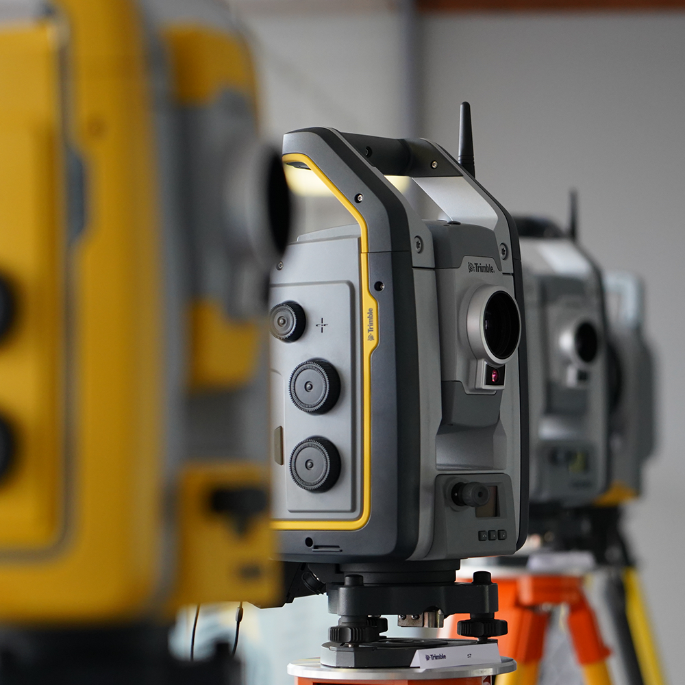
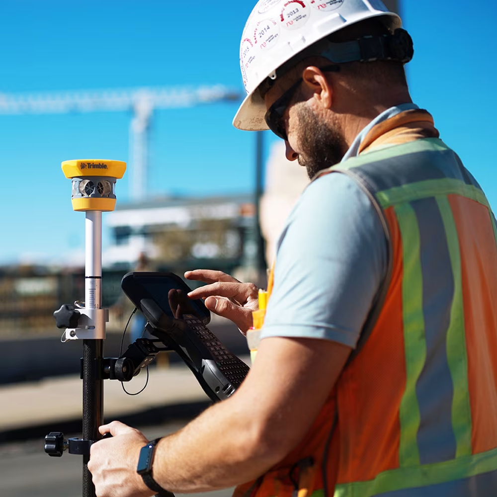
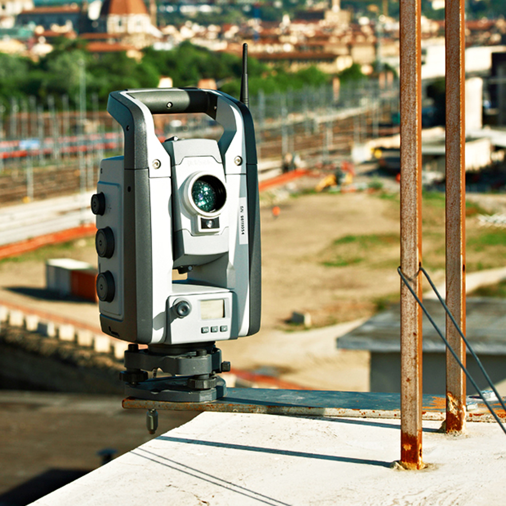
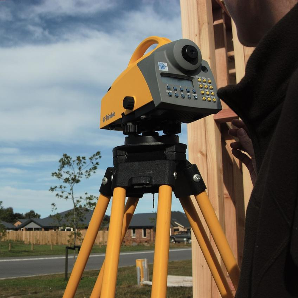
Trimble offer a range of workflows for the modern digital construction professional. These hardware and software solutions are specifically designed to make the construction process more cost effective, more efficient, safer, and more accountable – by reducing waste, reducing personnel on site and reducing the need for costly and inefficient rework. The RTS range of robotic total stations are designed to be used by a sole operator, immediately cutting down on-site personnel and costs. The RTS range automate a number of laborious setting out tasks – minimising errors and dramatically increasing efficiency. Combine your RTS with Trimble Fieldlink software for the simplest and most efficient workflow from the office to the construction site and vice versa. You can prepare building setting out data in the office, then upload via Fieldlink to your on-site crews, and you can review the reports and data returning from the site, allowing you to update and refine your BIM model.
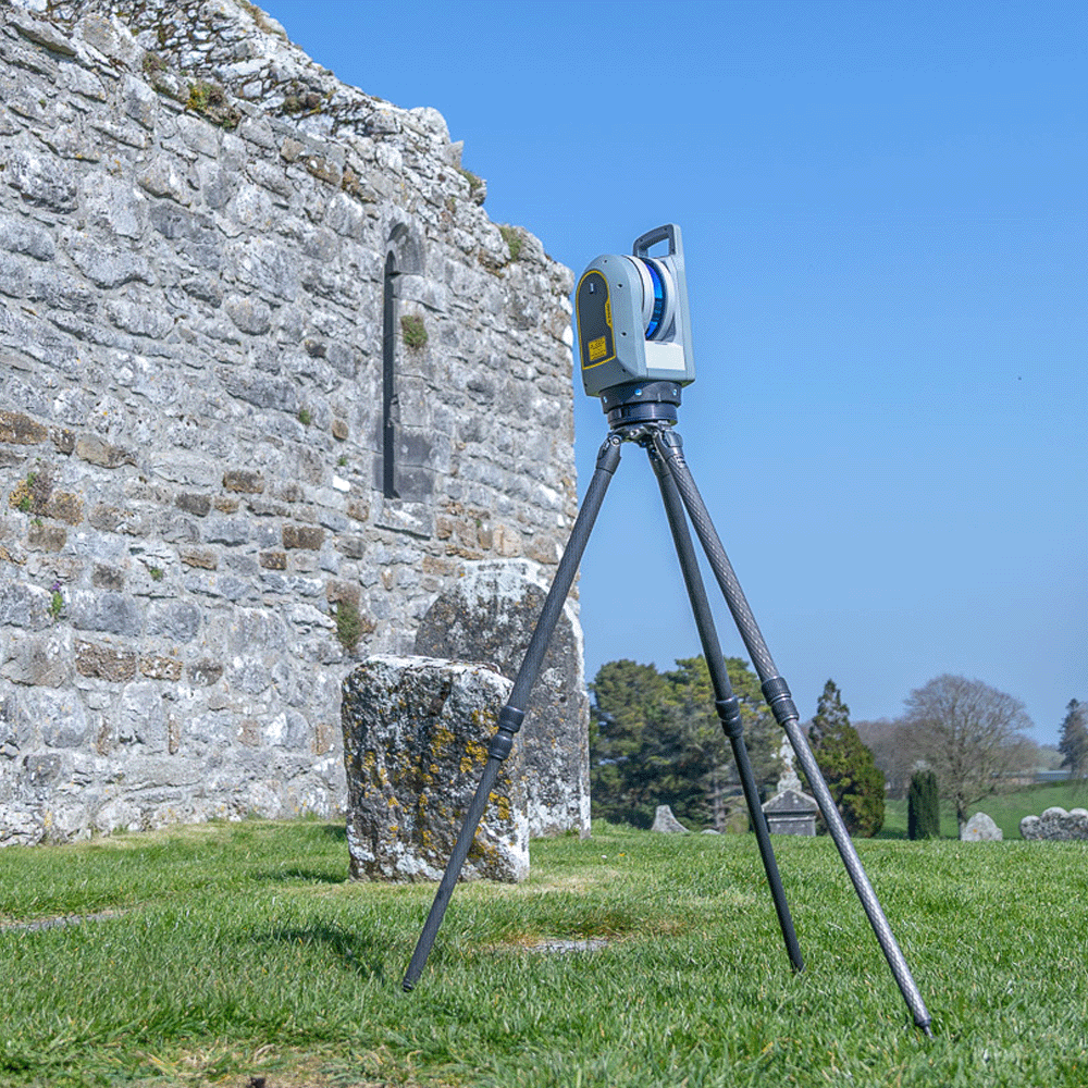
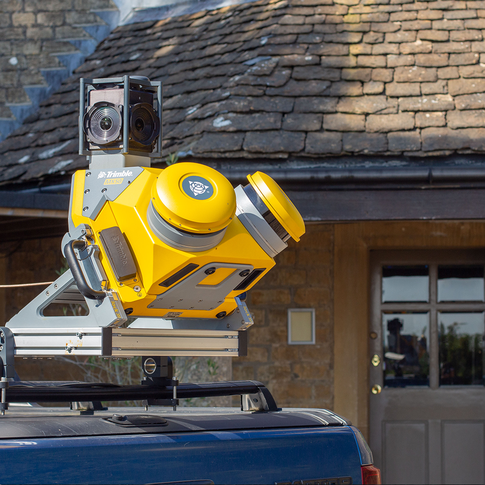
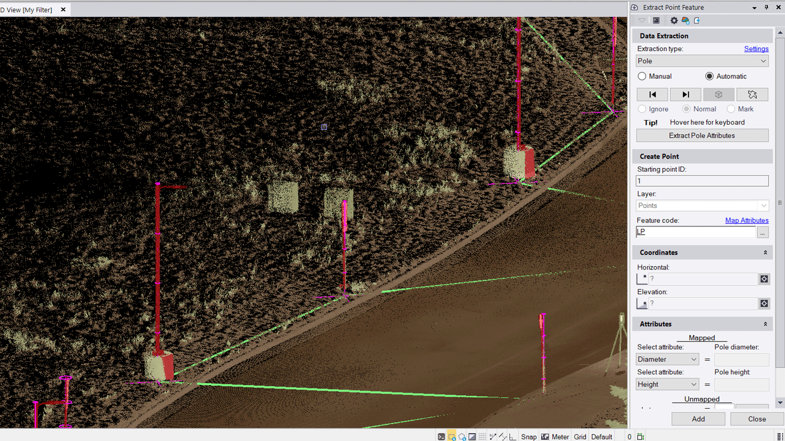
Besides setting out, Trimble’s digital construction tools include 3D laser scanning with the TX6, TX8 and X7 laser scanner, which features self-registration, self-levelling, and requires no annual calibration. The construction applications for laser scanning are practically endless; as-built verification, scan to BIM, floor flatness verification, prefabrication Skid QA/QC, precast set-up verification, underground utilities and facade studies.
Trimble also leads the way in construction visualisation technology. The XR10 with Microsoft Hololens 2 Hardhat brings your 3D BIM data to life, allowing you to overlay 3D imagery directly onto the construction site. Bring your data to life, and massively increase project understanding with your key stakeholders. For outdoor use, connect Trimble SiteVision to your mobile phone, enabling you to visualise your 3D design information in situ. With augmented reality technology, you can visualise your built asset before a single brick has been laid, reveal hidden, underground utilities, or you can clearly communicate project progress.

How do I export data from Trimble?

Trimble has a range of workflows for exporting and downloading data depending upon the device being used. For this question we will focus on the various export options from Trimble Business Center (TBC) – the end-to-end office suite for the survey and geospatial professional. If you need to know the download workflow for a specific Trimble product, we recommend taking a look on that specific product page.
With TBC, you can import a wide variety of geospatial data types from your GNSS, total station or laser scanning equipment, including 3D scan data, survey data, imagery and photogrammetry. TBC features a range of supported workflows including control surveying, field to finish, GIS feature collection, construction staking, data prep, drafting and terrestrial and aerial photogrammetry– as well as vertical workflows such as tunnelling, monitoring and mobile mapping. TBC is designed for the real world, with interoperability in mind. You can therefore connect to other leading software packages from ESRI, Autodesk and Bentley via geodatabase connections, and TBC also supports the widest range of industry standard export formats for CAD, BIM, ESRI shapefiles, PDF, DSM and DTMs as well as high resolution .html, Google Earth and .jpeg panoramas.

What is a Trimble device?

Trimble design and manufacture a huge range of devices to serve the construction, surveying and engineering sectors. These devices are designed to increase workflow efficiencies, improve safety on site, be simple to use, and vitally, are manufactured to be robust and rugged, for use in tough outdoor environments such as the construction site, highway, railway or mine.
These devices include a range of high-accuracy and highly reliable total stations, for both the survey and construction professional, as well as a range of laser scanning solutions, including the powerful yet very simple to use X7 laser scanner, with self-registration, self-levelling, and requires no annual calibration. The applications for laser scanning are endless, with customers utilising laser scanning’s high accuracy to produce detailed surveys, visualisations of complex 3D structures and the production of models for BIM to name just a few.
Trimble is also renowned for its innovative GNSS systems establishing its reputation over 30 years. These systems are innovative and ground breaking with the latest releases including the Trimble R12, which introduced geospatial professionals to Trimble ProPoint™ GNSS Technology which greatly improves performance in challenging GNSS conditions. This was followed by the Trimble R12i which offers Trimble TIP Tilt Compensation Technology – Inertial Measurement Unit (IMU) based tilt compensation for accurate setting out and measuring points without precisely levelling the pole.
Trimble also provide specialist equipment that serves the rail industry (such as the GEDO system) as well as solutions for highways and corridor mapping, via their vehicle mounted mobile mapping solutions.

To our customers, Trimble is a pioneer and innovator.

To us, it’s a valued KOREC partner.