From spatial data to real-world action. Soarvo is an easy-to-use cloud platform to see, understand and act across your assets, sites and operations.
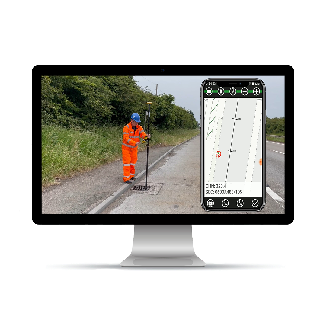
- Capture – Import existing files or capture updates directly from the field.
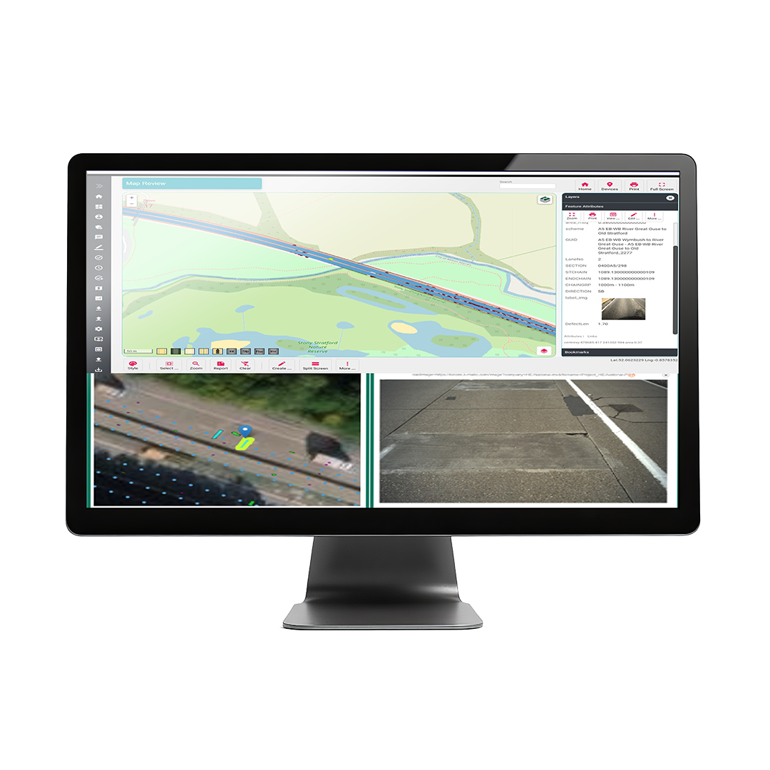
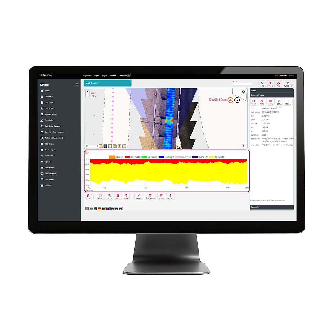
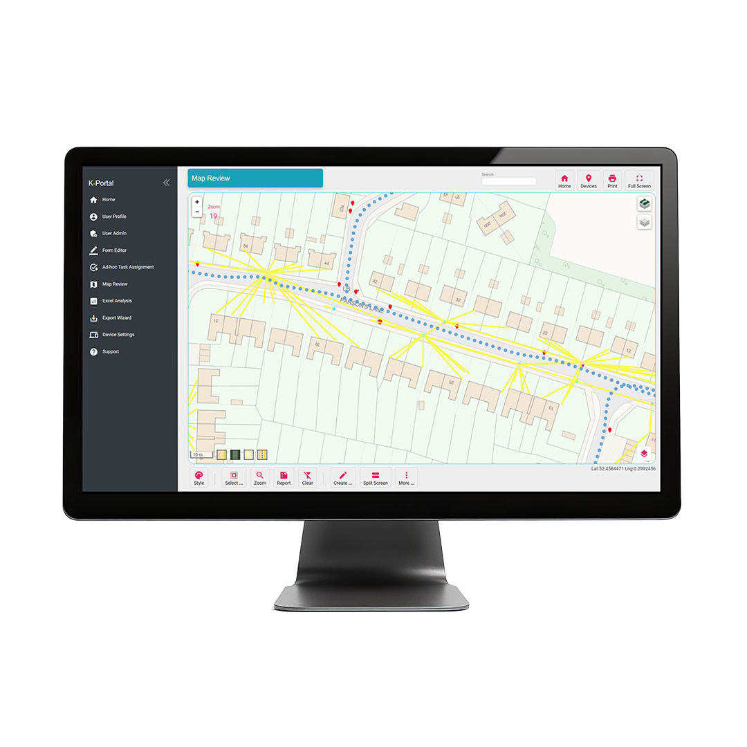
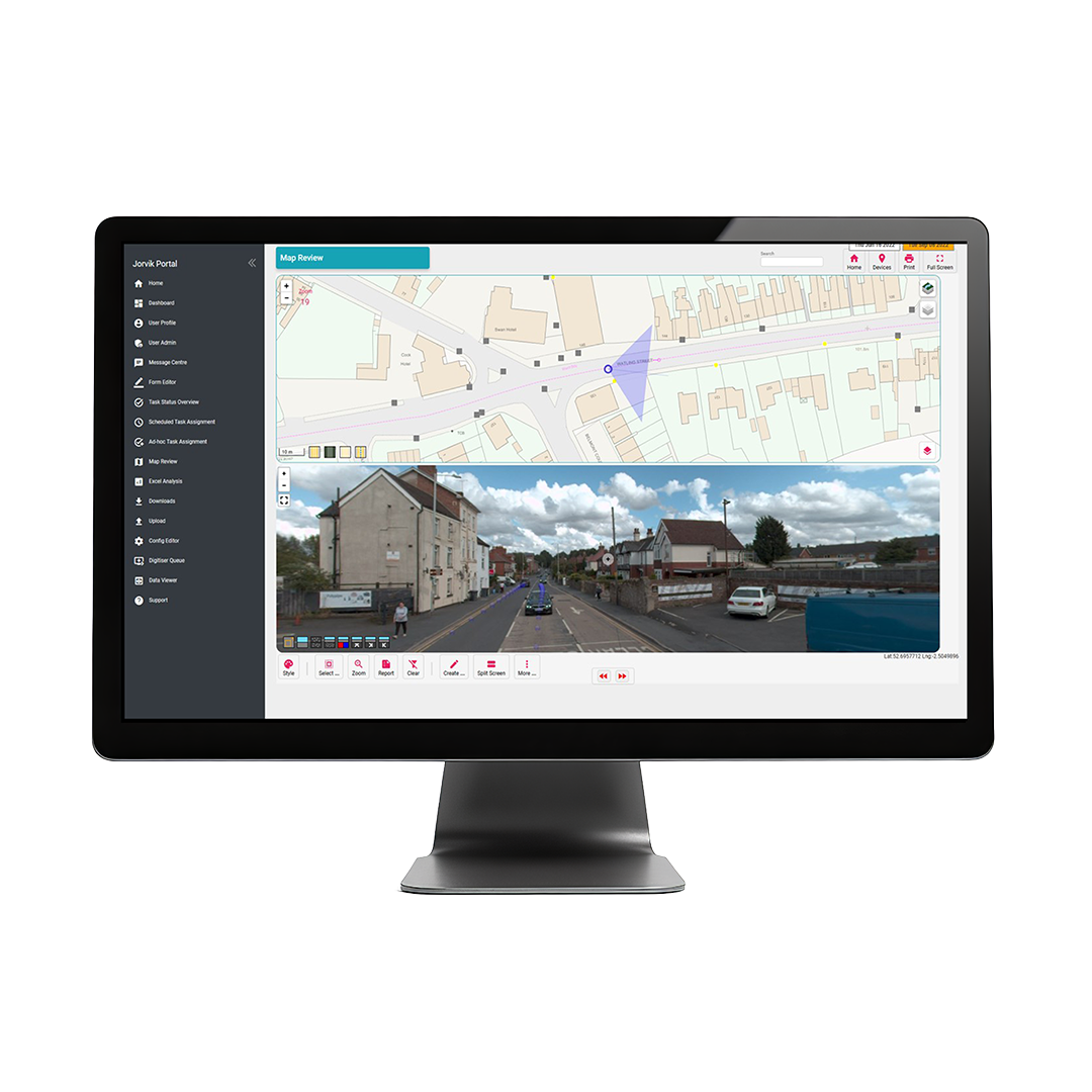
- Connect – See everything on a map. Layer, filter, and explore your data so you can quickly understand what’s happening and where.
- Act – Assign work, record outcomes, and maintain a clear operational view through reports and dashboards
Soarvo is a new cloud-based geospatial data platform for surveyors, drone operators, and mapping / mobile mapping specialists. It is designed for seamless data visualisation and sharing, supporting a wide variety of sources and file formats, all hosted in one place. With Soarvo, you can gather, process, visualise and share data from a whole host of geospatial platforms effortlessly, leveraging secure cloud-based technology to optimise workflows and real-time decision-making.

Ease of use
A user-friendly interface that simplifies the process of uploading, managing, and sharing data.
Aggregate
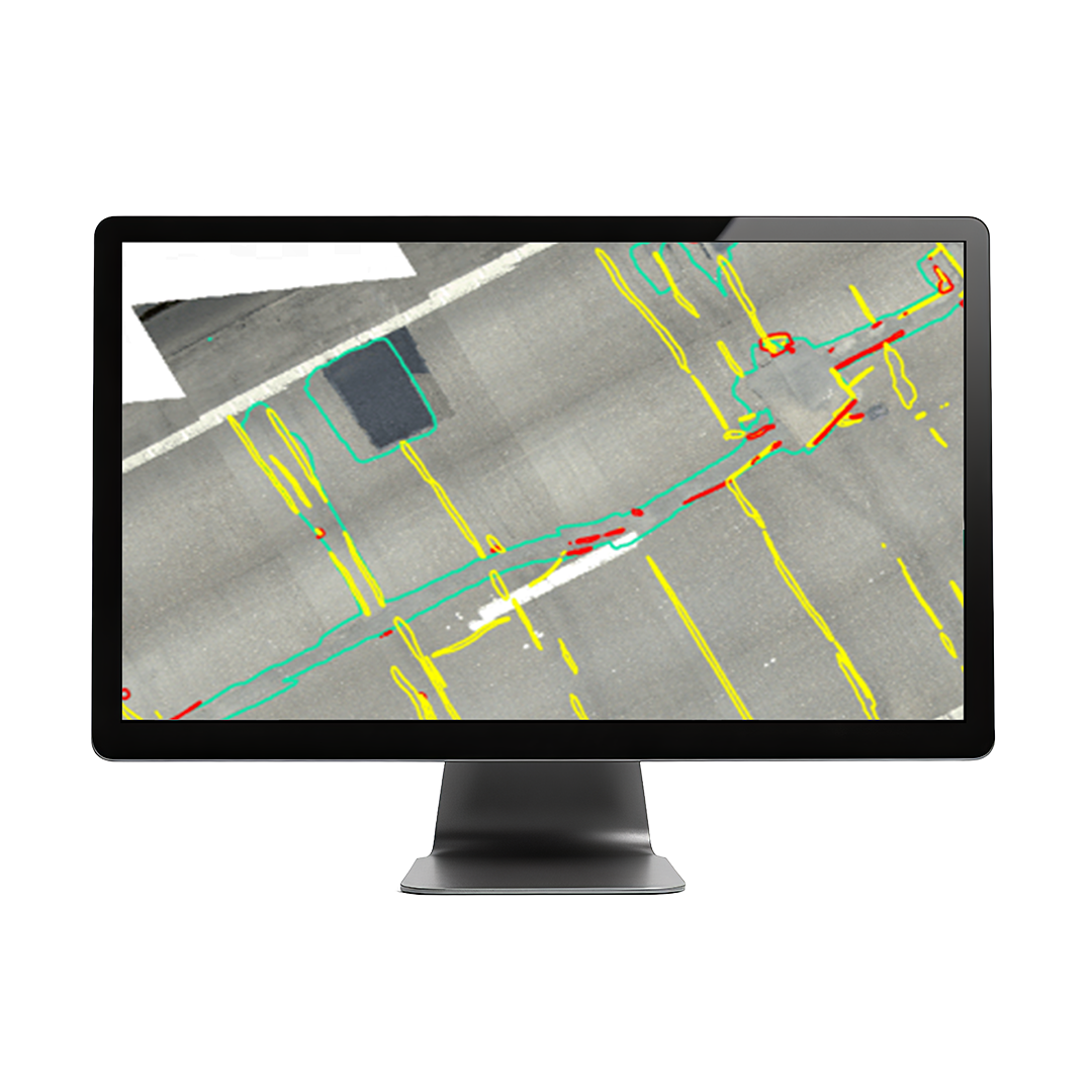
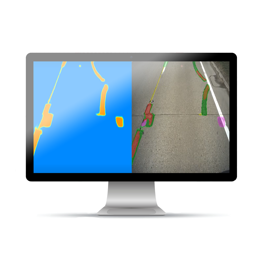
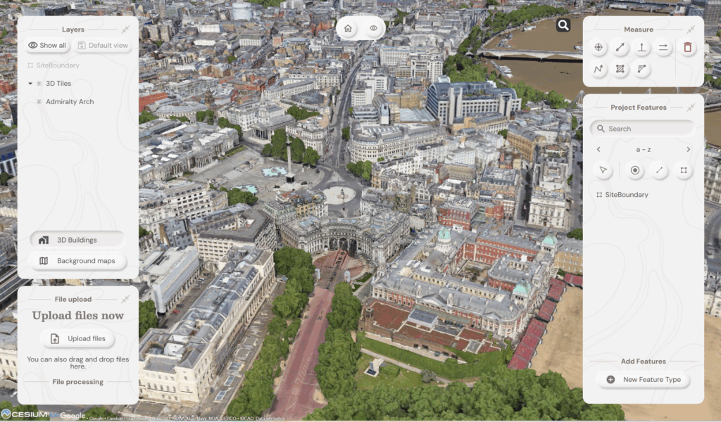
Overlay and visualise geospatial data in a rich, multilayered 3D environment including mapping to gain a comprehensive view of your projects. In short, multiple geospatial datasets in one 3D platform
Dynamic data interaction
Engage with your data in real-time, exploring and analysing geospatial data interactively for faster, smarter decision-making.
Streamlined collaboration
Share your geospatial data with clients instantly, providing real-time access to view, download and enable more effective, seamless collaboration.
With Soarvo, you can gather, process, visualise and share data from a whole host of geospatial platforms effortlessly, leveraging cloud-based technology to optimise workflows and real-time decision-making.
Leveraging the latest AWS architecture, Soarvo employs cutting-edge security protocols like Cognito, CloudFront, Web Application Firewall, and Multifactor Authentication to ensure your data remains both protected and accessible at all times
Data formats supported:
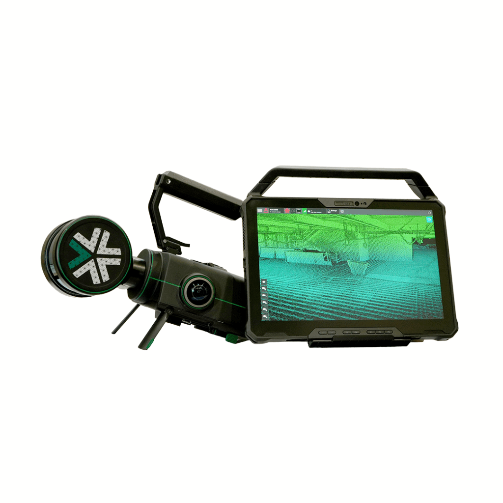
- Survey Instruments (LAS, E57, LAZ, 360 Pano)
- Drones (Geotiff, LAS, 3D Tiles, OBJ, MP4, JPG)
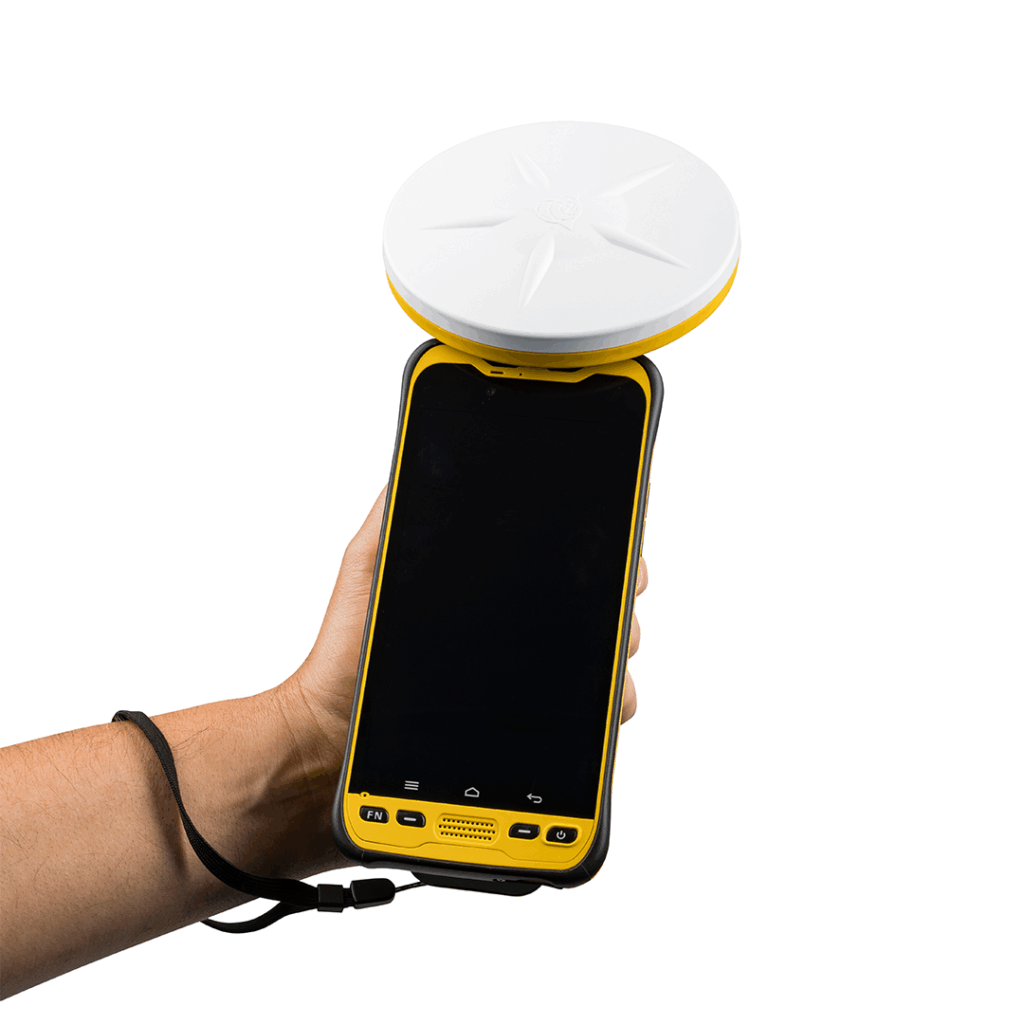
- Mobile Mapping Systems (LAS, 360 Pano, JPG)
- BIM (3D Tiles, OBJ, IFC, GLB)
- CAD (DWG, DXF)
- GIS (CSV, SHP, KML)
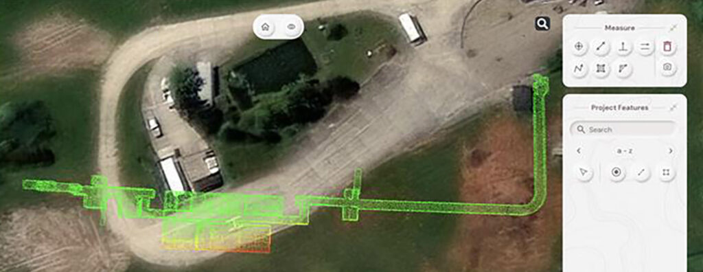
Making data tell stories – when context is everything
How GeoDrone Survey helped a landowner pinpoint the exact proximity of an underground bunker to the Norfolk coastline thanks to Soarvo, a powerful cloud-based platform for managing and visualising geospatial data.
Born of frustration…..!
The driving force behind Soarvo’s launch? Pure genius and a bit of fire and frustration too. Soarvo have come up with something designed to rescue a geospatial community drowning in much needed, excellent, high-quality data, but restricted in what they can do with it.

Soarvo and the spatial revolution – why everyone’s invited
It's time to show the results from real world Soarvo projects and where better to start than with a Soarvo highlight - the drone workflow.
Industry applications
Replace disconnected systems with one platform
Utilities & Infrastructure
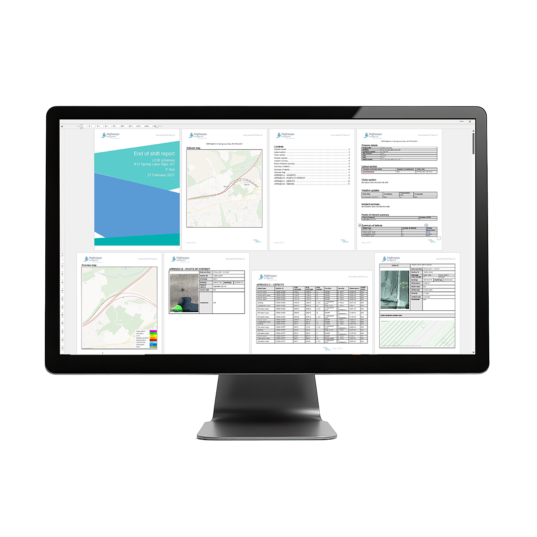
One operational view across every stage. Bring asset records, field inspections, contractor activity and compliance evidence into one connected workflow. Soarvo adapts to your operation without complex setup.
- Capture site activity, inspections and project updates, directly from the field
- Connect mapping ,assets, documents and reporting into one operational view
- Act faster with live workflow, reporting and clear project visibility
Land & Estate Management
One connected view across your estate. Soarvo gives estate teams one connected view of their land, assets and operations, with a clear record of what happened, where and when.
- Capture surveys, imagery and field updates directly from site
- Connect land records environmental data and operational activity on one map
- Act with clearer reporting, collaboration and long-term operational visibility
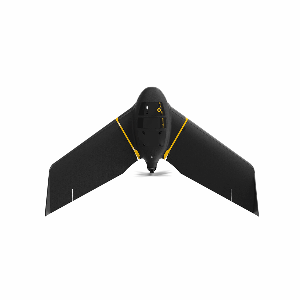
eBee X
Lightweight mapping drone for large coverage and sharp data
£POA
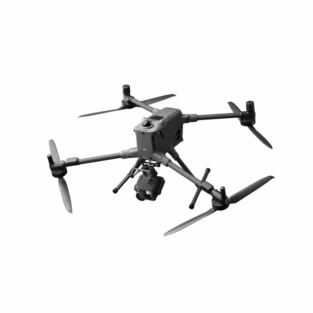
DJI Matrice 400
Engineered for excellence, designed for versatility
£8,875.00
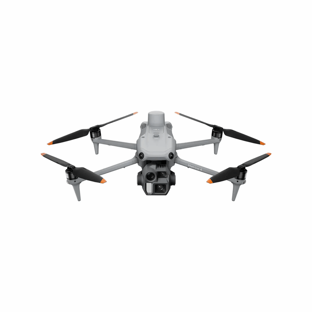
DJI Matrice 4 Series
Bringing intelligence to aerial operations