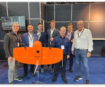
GIS Data Collection & Integration

Transform your GIS data collection and integration processes with our game-changing hardware and bespoke software. Our advanced data collection technologies and expert support enable you to gather accurate spatial information seamlessly and integrate it into your GIS systems effortlessly. 

With our tailored solutions, you can streamline workflows, eliminate data inconsistencies, and make informed decisions with confidence. 

“The single easiest way to improve productivity, accuracy and data quality on field data collection projects is to go digital and leave the pen and paper behind”.

This statement was made in the 1990’s and is as valid today as it was then.

Since then, we’ve seen the cost of GNSS handhelds come down, the technology and software become intuitive to use, the rise of the Smartphone as a viable data collection tool and of course the launch of the first ever subscription based software GNSS, Trimble Catalyst.

GIS data collection and integration is a specialist area for KOREC. We have an in-house software development team that is the brains behind our customisable K-Mobile field software and the portals that handle this field data, all backed up by sales consultant expertise in a massive range of applications.