News
New KOREC case study: When context is everything
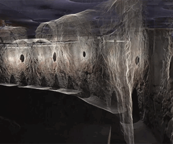
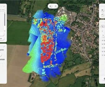
How GeoDrone Survey helped a landowner pinpoint the exact proximity of an underground bunker to the Norfolk coastline thanks to Soarvo, a powerful cloud-based platform for managing and visualising geospatial data. Read More
Published: 12 June 2025