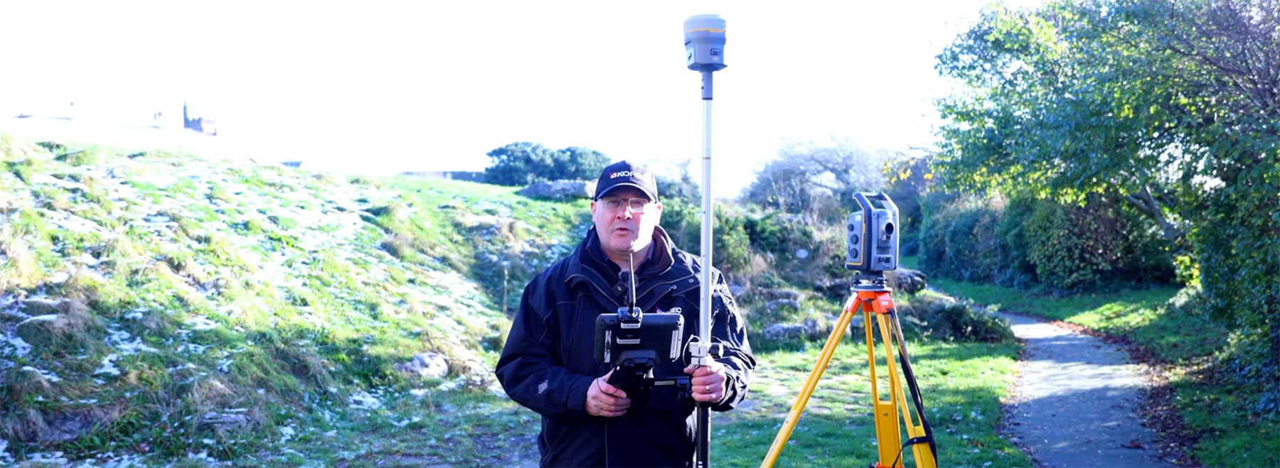
It’s not quite the O.K. Corral, but KOREC’s Cesar Almeida – armed with 20 years of surveying know-how across two countries – takes on one of the industry's favourite debates: Total Station vs GNSS. Which reigns supreme for topo surveys?
It’s not quite the O.K. Corral, but KOREC’s Cesar Almeida – armed with 20 years of surveying know-how across two countries – takes on one of the industry’s favourite debates: Total Station vs GNSS. Which reigns supreme for topo surveys?
And to add a bit more clarity to the shootout, we’ve brought in KOREC’s Technical Training and Support Director, Richard Selby, to share a few thoughts from out in the field. Take it away Cesar…
A bit of background
“A story to share first. Back in 2005, when the first VRS was established in Portugal, the standard for any surveyor and/or site engineer was very much to use a two-man mechanical total station, and base/rover GNSS.”
Efficient use of the team: manpower matters
“Once they were shown the first GNSS rovers (significantly less costly than a rover and base), the adoption across the mediterranean areas was almost instantaneous over a total station. Customer ‘What do you mean I can swap a team of 2 or 3 people, with a single user on the pole, and get survey-level accuracies for topos?’
The immediate gain is obviously one of better use of the team. Traditional methods using a total station require two people for a topo survey, one holding the pole and another operating the total station, or if a robotic, protecting it from accidental damage or theft. For construction setting out, add in a third person to hammer in the nails or stakes.
During straight forward topo work, a single person can perform these tasks using a GNSS rover, freeing up team members for other projects. And of course, one person is with the rover at all times keeping it safe. It’s therefore easy to argue that the higher cost of a GNSS rover can be justified in operational savings.”
Accuracy expectations: Southern Europe vs UK
“All good, because in that part of the world accuracies under 5cm horizontal and vertical, were fit for purpose for those applications. It’s still the case today.
However, I have been in the UK now for 10 years, and it’s clear and accepted that the standards for accuracies here are higher. There’s probably a number of reasons for it, least of which are TSA guidelines written by the industry and for the industry, which are generally adhered to by customers and companies alike.
This shared standard ensures consistency, credibility, and ultimately, value across the entire supply chain.”
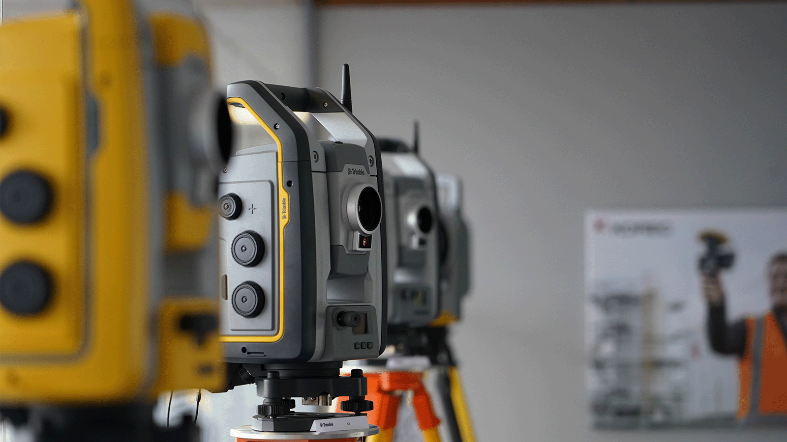
Trimble ProPoint changes it up
“In the last 4 years at KOREC, things have changed. Starting with the introduction of the Trimble R12, followed by the R12i and of course its latest iteration, the R980, we now have Trimble’s ProPoint technology. This gives hugely superior performance under challenging GNSS environments such as under tree canopy and in urban canyons, and the market has responded with several common observations about this technology that more than back up the Trimble marketing spiel:
Yes, it can measure in more difficult locations than ever before and is much better under canopy and urban canyons than any previous GNSS. (Case study example here)
Rule of thumb – it has increased productivity allowing users to capture 3 times more data in a day than with a total station or a previous GNSS generation, with enough accuracy for a topo survey. (Case study example here)
And…the repeatability of the measurements has come down to a point where it’s almost indistinguishable from a total station for topo work. To produce a topo from a ProPoint enabled GNSS compared to a total station has led to results that are now comparable.”
Why wouldn’t you switch?
“So why wouldn’t you use a ProPoint enabled GNSS receiver to do topo work instead of a total station when there are some clearly obvious gains: just one man on the pole, no line of sight required to a fixed instrument, reduction in instrument theft and accidental damage, and overall, faster data capture.”Well, there are of course cons as well
“Recently, I was just discussing with a colleague in sales that the opportunities to use a total station are still quite large and sometimes conditions absolutely dictate that it’s the method of choice because there are still plenty of situations where GNSS just isn’t enough. On construction sites where precision control is critical, or in places like downtown London where skyscrapers turn the GPS signal into spaghetti, total stations are still the go-to. No question. But for a lot of day-to-day work, GNSS is earning its spot in the toolkit — and it’s making a real difference in efficiency and flexibility out in the field.
There’s no doubt that over the last few years GNSS technology has come a long way — and Trimble, with over 40 years of development behind them, has really led the charge. Thanks to these improvements, we’re seeing more and more customers using GNSS for jobs that would’ve traditionally been total station territory. Things like scan-to-topo workflows are becoming more common too, because let’s be honest — scanning is often quicker and easier than setting up a full traverse (at least most of the time!).”
So, what’s my conclusion?
“Unlike the gunfight at the O.K. Corral, it’s taken a bit longer to draw — but here it is:
Now’s the time to consider using GNSS more regularly simply because the technology you find in the Trimble R12i and R980 mean it’s finally accurate and repeatable enough for most applications.
And if anyone can bring a simple balance to an debate like this, it’s my KOREC colleague ‘out in the field’, Richard Selby:
The smart approach? Always remember context is king — the ideal would be to have both a total station and a ProPoint enabled GNSS receiver in the toolkit so that decisions can be made specific to the job in hand.”
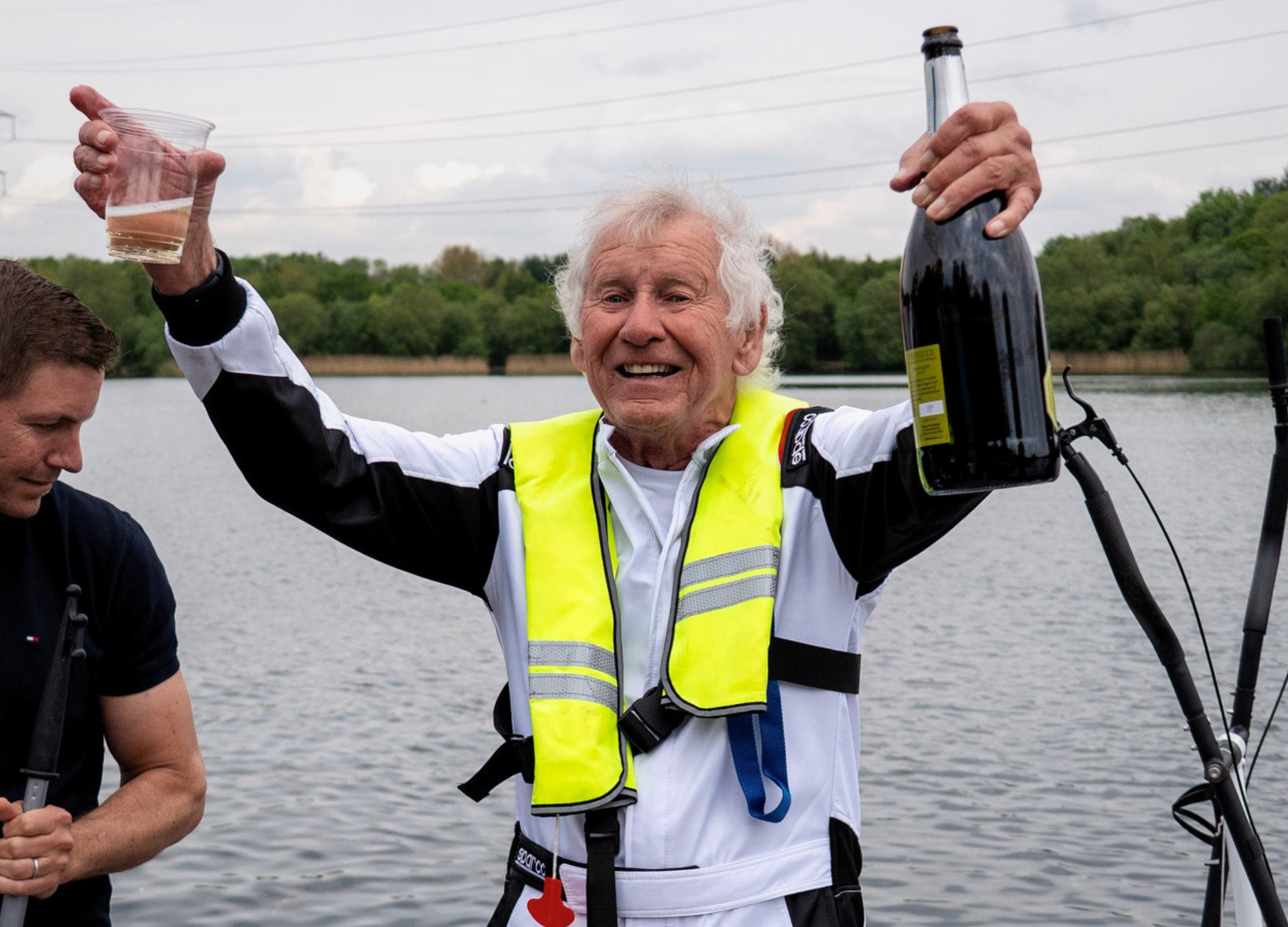
Using Catalyst and Soarvo: Behind the Scenes of a Successful World Record!
Earlier in the year, we were delighted to be invited by the UK’s largest dedicated surveying business, Survey Solutions, to play a key role in an inspirational world record attempt...
A wise man once said ‘Gold (gold). Always believe in your soul’*. And whilst Spandau Ballet peaked at number 2 on the UK charts with that classic, here at KOREC...