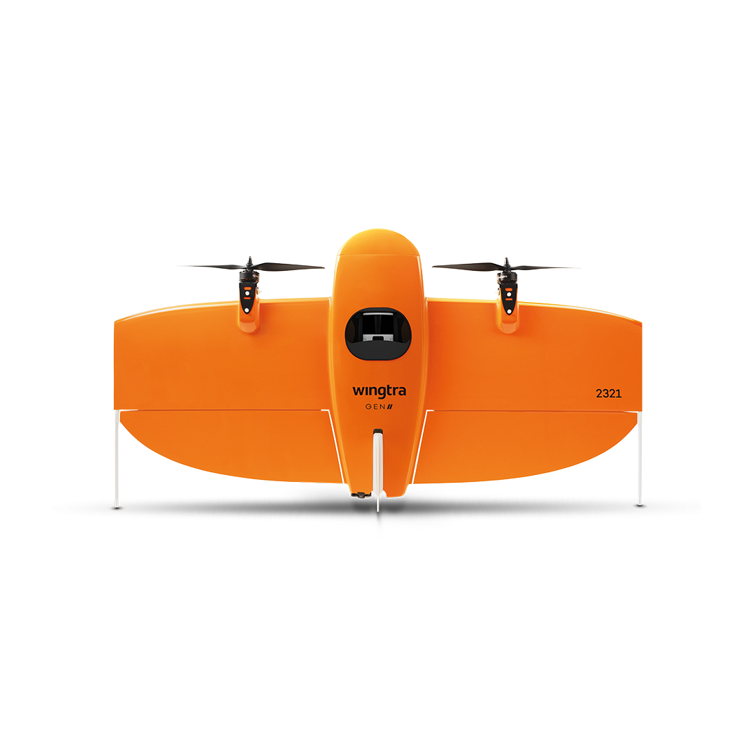
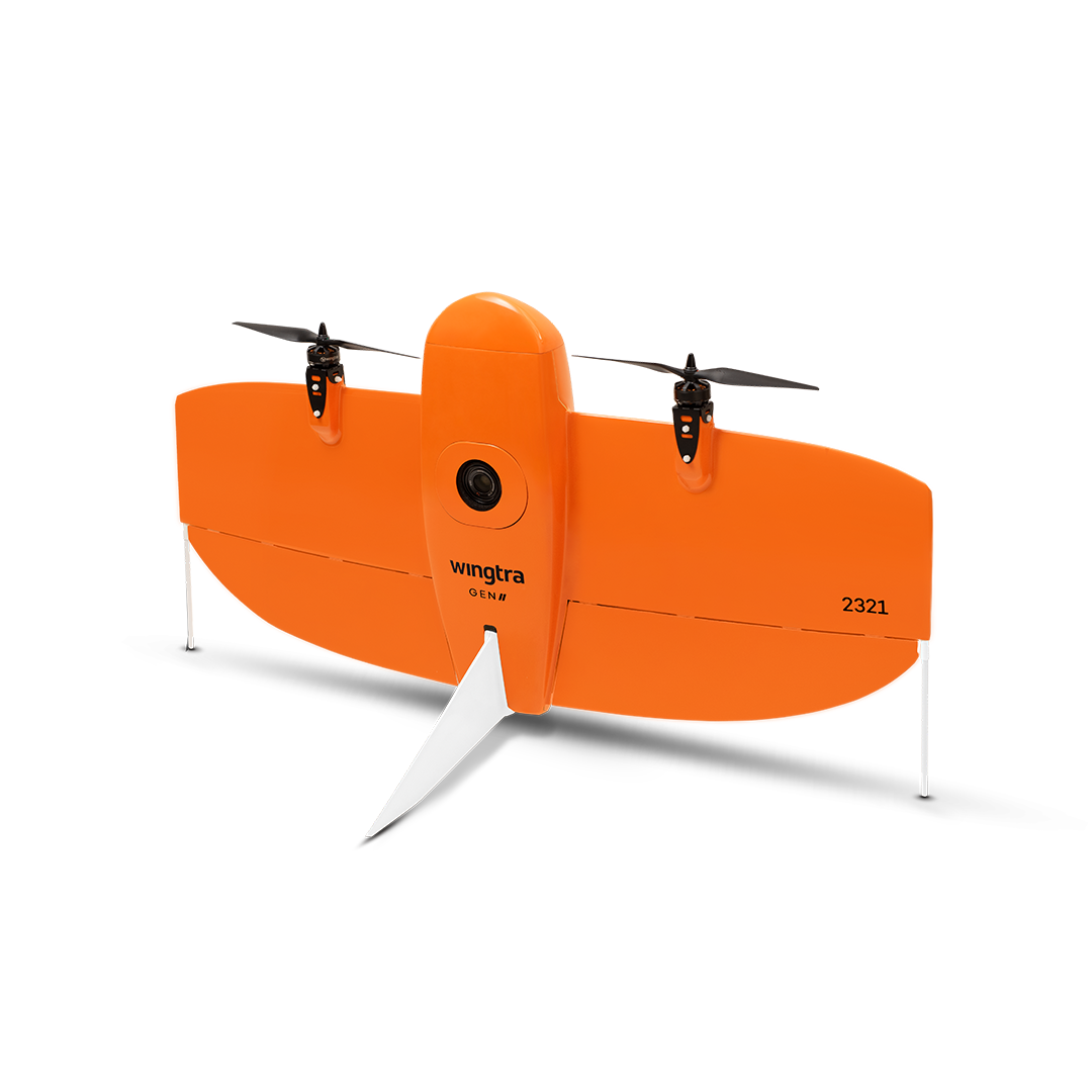
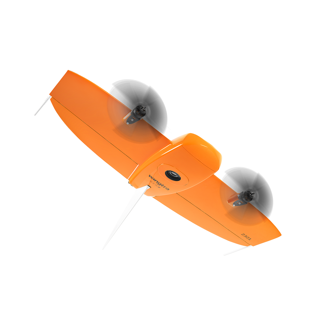
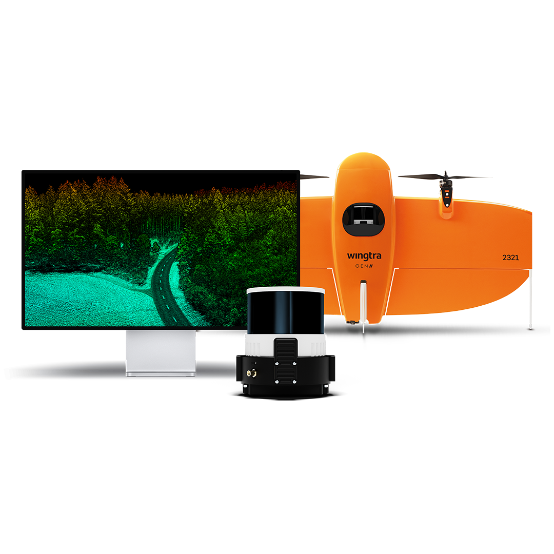
WingtraOne Gen II
£POA
PRODUCT ENQUIRY
Easy-to-use drone delivering consistent, high-quality survey data. Superseded by the new WingtraRAY.
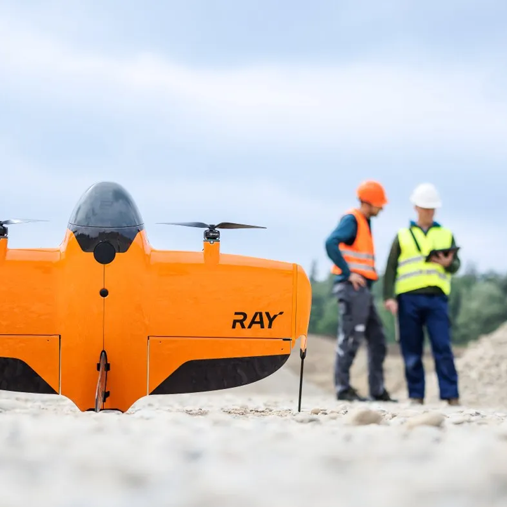
Please note, the WingtraOne Gen II has been replaced by the new WingtraRAY – the new gold standard for UAV survey.
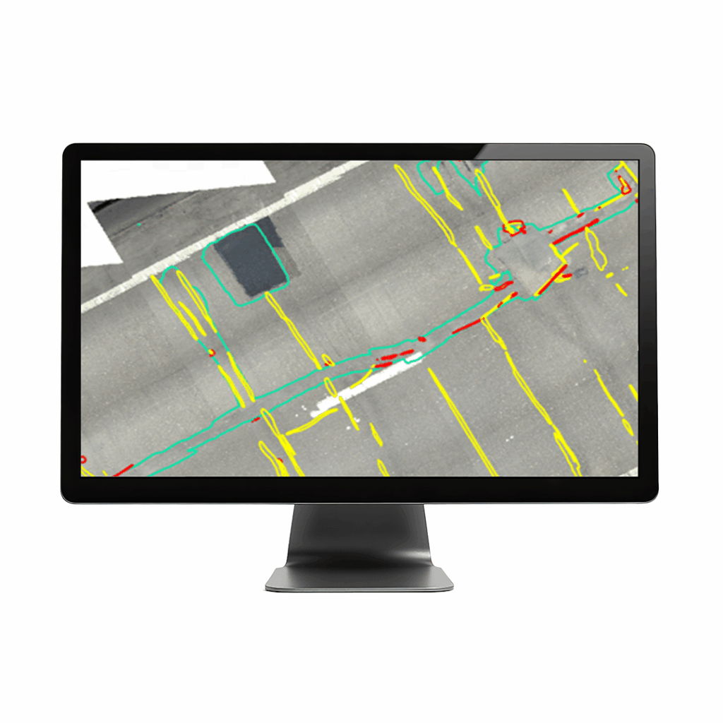
Engineered and assembled in Switzerland, the WingtraOne Gen II is a premium survey drone that offers vertical take-off, PPK geo-referencing (negating the need for setting out GCP’s) and is capable of integrating with a number of high-resolution payloads, including a 61 MP camera. This enables the consistent delivery of the high-quality data required for mapping and survey specific applications. The superior quality of the optics also means that users can reconstruct their map reliably with lower overlaps.
The WingtraOne can also fly higher than drones limited to 20 MP cameras, so users can capture more ground and more detail with every picture and therefore a larger area per flight.
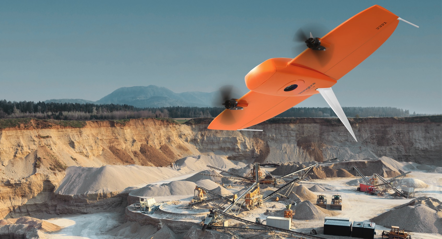
Field productivity is further increased with flight speeds of up to 36 mph and a flight duration of up to 59 minutes. Overall, the WingtraOne is up to 11x faster than multicopter drones and 2x faster than standard fixed wing drones.
Wingtra has an ethos of continual development which has established the WingtraOne’s reputation as a reliable and trusted technology following more than 100,000 flights and 6 years of continuous testing. Further developments to come!
Download sample data – Simply fill in this form to request your sample data.
KOREC will email you a link to download.

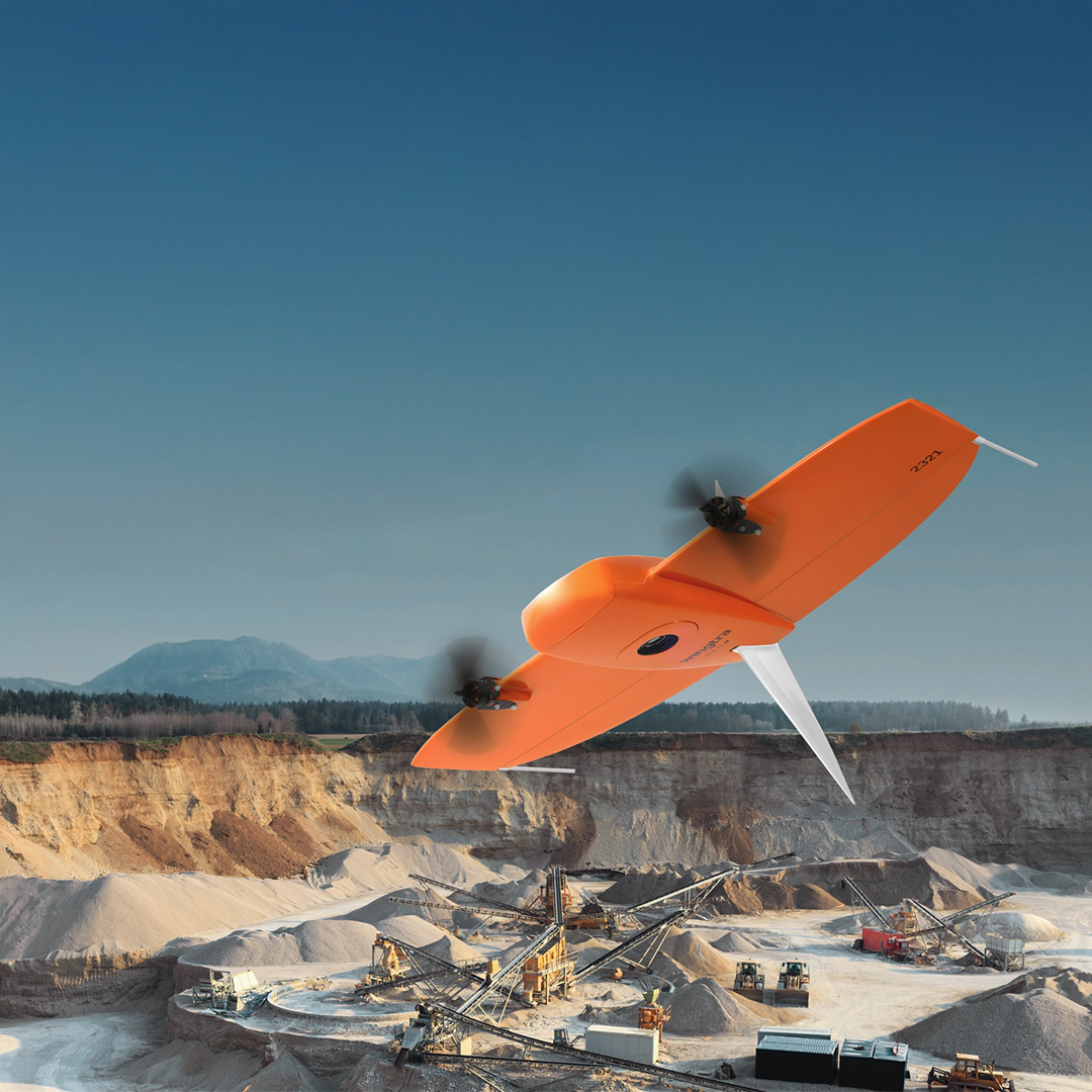
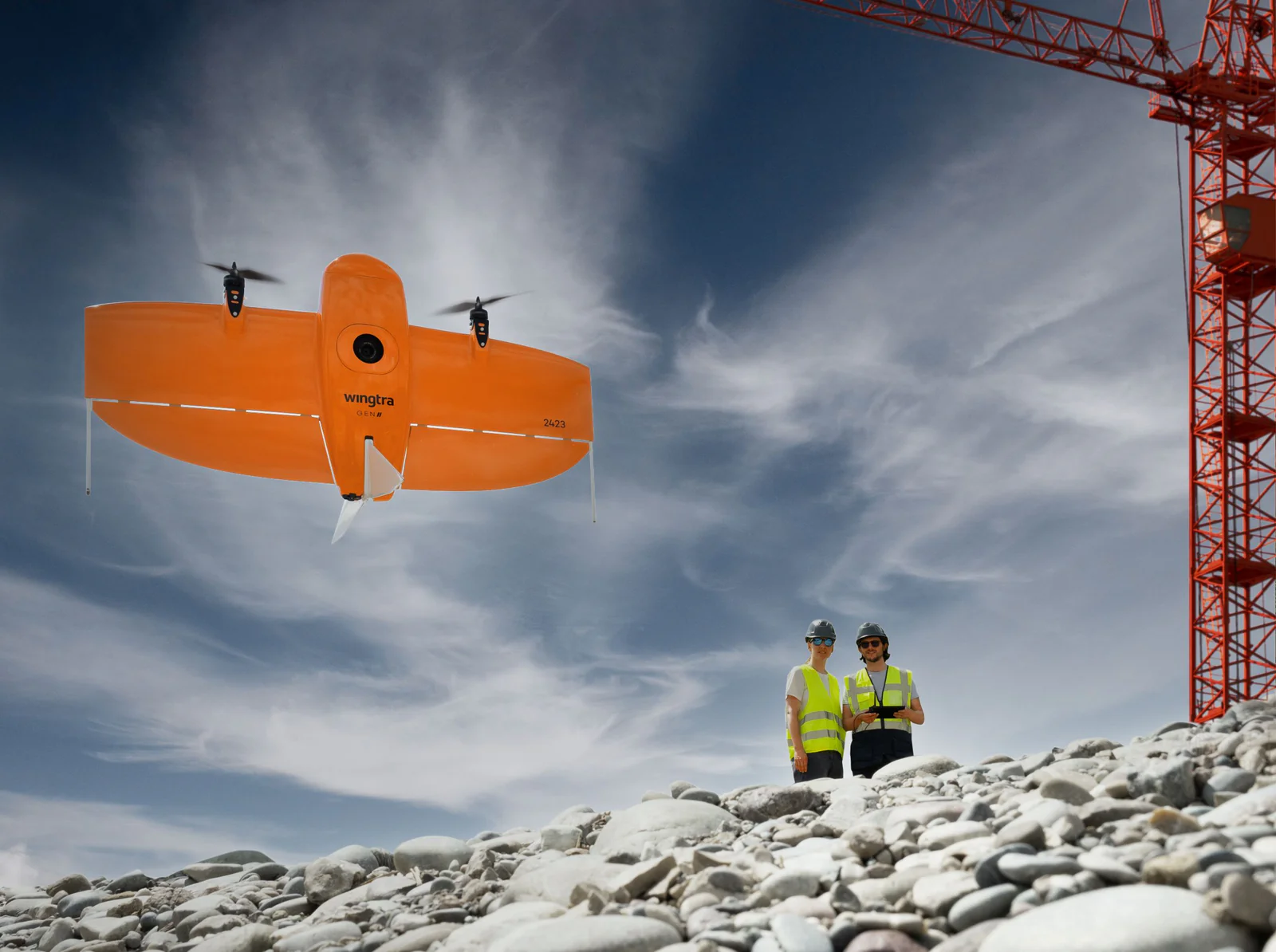
VTOL Design
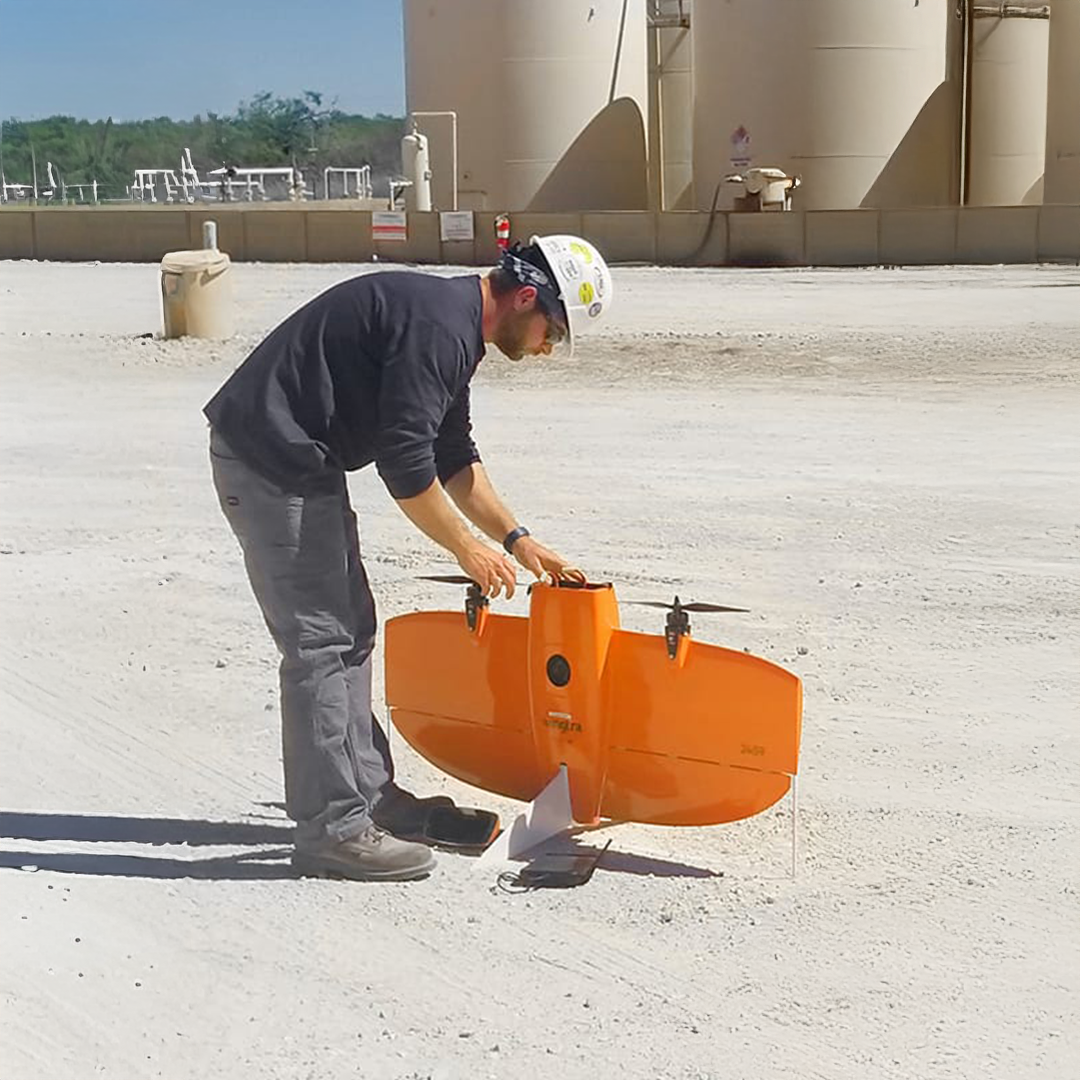
WingtraOne can take-off and land almost anywhere—even in confined spaces or on rough terrain. This enables you to collect data where other drones cannot.

Survey more in a single flight, 1.2Km VLOS CAA approved
Whether it’s a highway, an industrial complex or a mine, you can now take on large projects that were previously impossible to map with a drone. And it takes you just a few hours.
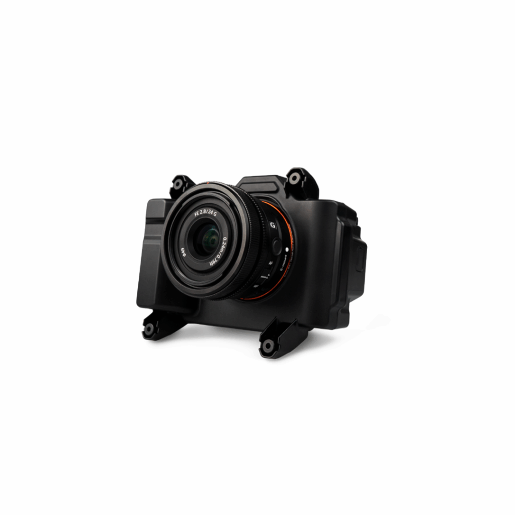
61 MP camera
WingtraOne can fly higher than drones limited to 20 MP cameras, so you capture more ground and more detail with every picture and a larger area per flight.
No more GCPs, checkpoints only
With an onboard high-precision PPK GNSS receiver you no longer need to lay out ground control points (GCPs).
The WingtraOne mapping drone’s unique set of features empowers you to minimise your time flying and get more work done, be it another project in the field or analysing your data at the office.
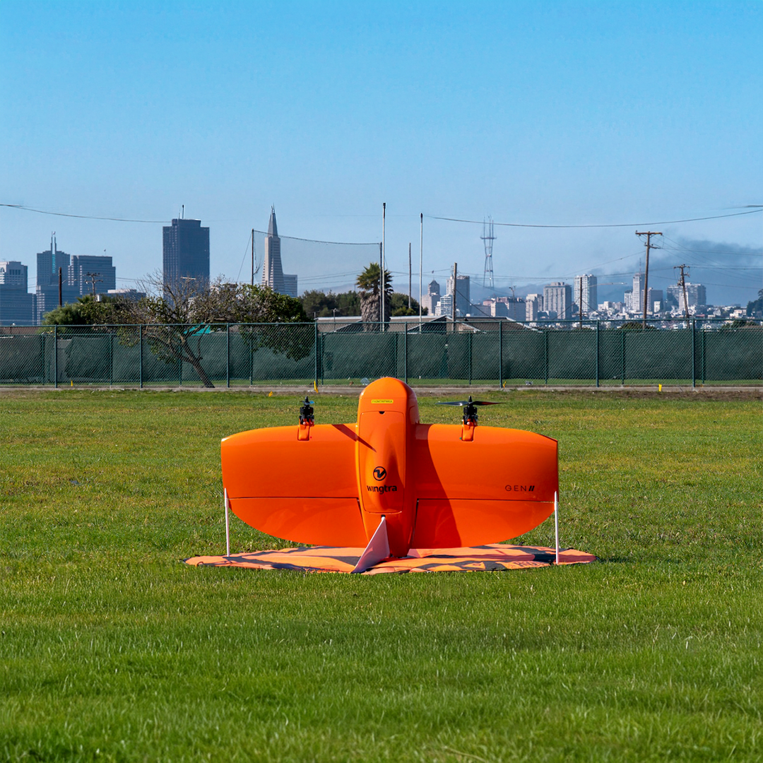
• Drone type – Tailsitter vertical take-off and landing (VTOL)
- Maximum take-off weight – 4.8 kg (10.6 lb)
- Payload capacity – 800 g (1.8 lb)
- Wingspan – 125 cm (4.1 ft)
- Dimensions of WingtraOne – 125 × 68 × 12 cm (49.2 × 226.8 × 4.8 in) (without middle stand)
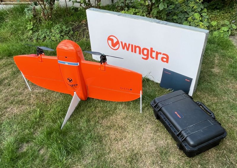
- Dimensions of Pilot Box – 57 × 37 × 20 cm, 8.6 kg (1.8 × 1.2 × 1.0 ft, 19 lb)
- Battery capacity – two 99 Wh batteries (required as a pair)
- Battery type – Li-ion, smart battery technology, UN3481 compliant
- Radio link – bi-directional 10 km (6 mi) in direct line of sight, obstacles reduce the range
- Onboard GPS – redundant, using GPS (L1, L2), GLONASS (L1, L2), Galileo (L1) and BeiDou (L1) / Frequencies range: 1227.6 MHz / 1242.9375-1251.6875 MHz / 1561,098 MHz / 1575,42 MHz / 1598.0625-1609.3125 MHz / 1602,00 MHz
- Dimensions of travel hardcase (optional) – 137 x 67 x 23 cm (54 x 26 x 9 in)
- Weight of travel hardcase including the drone – 18.6 kg (41 lb)
Elevating Innovation! Our KOREC Drone Sector Specialist puts the WingtraOne through its paces
Following a number of recent test flights, KOREC's Darrell Theobalds reports back on where the WingtraOne Gen II scores high, what's on his wish list and what he truly rates.
WingtraCLOUD
A user-friendly, powerful way to maximize drone data scalability
£POA
Meet the WingtraRAY - the new gold-standard for UAV survey.
Discover the WingtraRAY