What Is Drone Surveying?
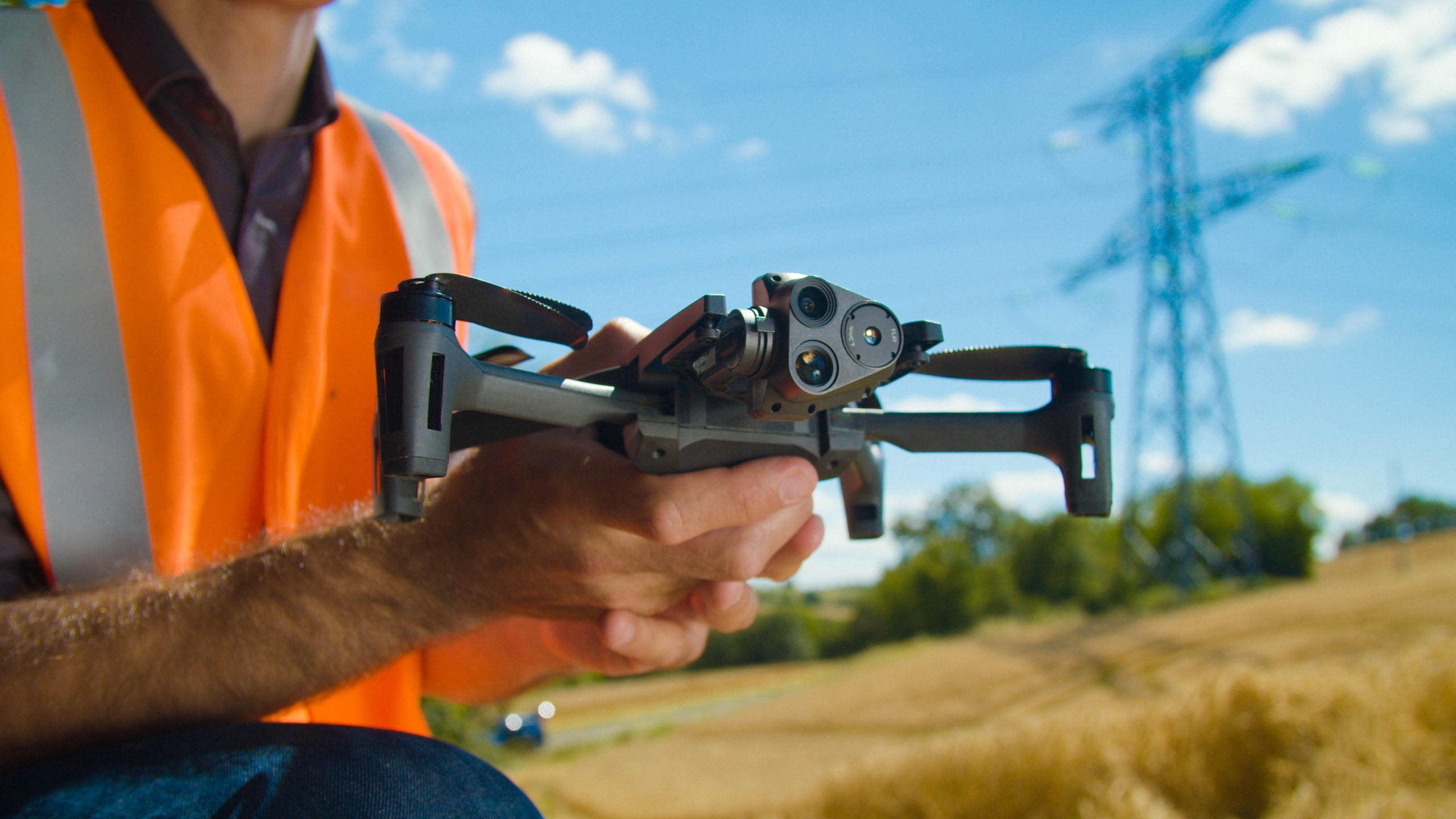
Drone surveying uses unmanned aerial vehicles equipped with cameras or LiDAR sensors to capture aerial data, offering a faster, safer, and often more cost-effective alternative to traditional ground-based surveying methods.




Drone surveying uses unmanned aerial vehicles equipped with cameras or LiDAR sensors to capture aerial data, offering a faster, safer, and often more cost-effective alternative to traditional ground-based surveying methods.
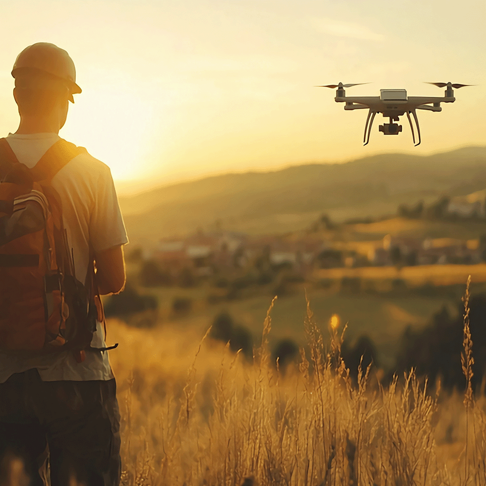
Drone surveying (also called drone mapping, UAV surveying or aerial surveying), is the process of using unmanned aerial vehicles, or drones, to capture aerial data. These vehicles use downward facing sensors, such as cameras and LiDAR payloads, to capture this data and record it. In a drone survey, the UAV is launched and guided to the site. Depending on the drone, it may be guided remotely in real time, or navigate autonomously based on coordinates entered. Once there, it takes a series of high-resolution images from multiple vantage points. These images can then be stitched together into an orthomosaic image. Each pixel of this orthomosaic image contains an X/Y axis and colour information.
This guide is the first in a series of guide discussing drone and UAV technology. If you like to learn more about drones and UAV technology and its applications, please view our guides on Common challenges with UAVs for Surveying and Mapping, UAV 3D Mapping, Drones and Surveying, How an Aerial Survey Drone Increases Productivity and UAV Drone Survey Workflow.
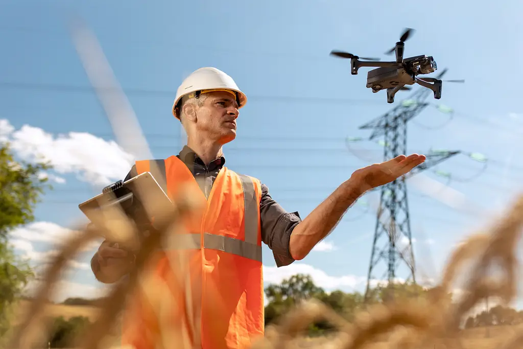
UAV stands for unmanned aerial vehicle. These vehicles are commonly known as drones. As might be expected, they do not carry people on board, and are guided either by remote control, autonomously, or a combination of both. UAVs are able to take off and fly above the ground, making them incredibly useful for surveying large or inaccessible areas.
The accuracy of your drone survey will depend on many factors, including weather, type of drone, camera quality and altitude, as well as the requirements of the project.
As with surveying in general, there are two types of accuracy that come into play for drone surveys: relative accuracy and absolute accuracy. Relative accuracy refers to how accurate a particular data point is within a model, in relation to the other data points in the model.
Absolute accuracy refers to how accurate a data point in the model is when compared to its real-world counterpart (as measured by survey instrumentation). For some projects, relative accuracy is sufficient. For others, absolute accuracy may be needed. In these cases, some of our UAVs, such as the eBee Geo, are also available with RTK (real time kinematic) positioning, for greater data precision.

Drones have many benefits when it comes to mapping and surveying:
Drone surveys have a range of applications, across all areas of surveying and mapping, from topographical surveys to monitoring crops, to surveying hot spots at fire and accident scenes. The possibilities are almost endless.
Fixed-wing drones are particularly useful for survey applications making it safer, faster and less expensive to collect geospatial data especially in hard-to-reach and even potentially dangerous sites, such as mines, construction zones and quarries.
Rotary drones are particularly useful for applications requiring inspection work (they can hover) and those that require vertical take-offs and landings. To discover which drone type might suit your project the best, view our guide ‘Fixed-Wing vs Multi-Rotor Drones for Surveying‘ and read about ‘Matching Platforms to Project Type.
An orthomosaic image is created by stitching together a series of high-resolution images captured from multiple vantage points during a drone survey. Each pixel in the resulting image contains X/Y axis and colour information, producing a single accurate, detailed image of the surveyed area.
Relative accuracy refers to how accurate a data point is within a model, in relation to the other data points in that same model. Absolute accuracy refers to how accurate a data point is when compared to its real-world counterpart, as measured by survey instrumentation. Some projects only require relative accuracy, while others need absolute accuracy, which typically requires RTK positioning.
Fixed-wing drones are particularly useful for surveying hard-to-reach and potentially dangerous sites such as mines, construction zones, and quarries, making data collection safer, faster, and less expensive. Rotary drones are better suited to inspection work, since they can hover, and to applications requiring vertical take-off and landing.
Both options are possible. A UAV may be guided remotely in real time by an operator, or it can navigate autonomously based on coordinates entered in advance, depending on the drone and the requirements of the survey.
Drone surveys are used across a wide range of applications, from topographical surveys and crop monitoring to surveying hot spots at fire and accident scenes, spanning almost every area of surveying and mapping.
KOREC can advise you on the right total drone for your project. Speak to our friendly experts today to get the right technology to solve your business challenges.