Fixed-Wing vs Multi-Rotor Drones for Surveying
Find out how fixed-wing and multi-rotor drones compare for professional survey applications, and how to identify which platform is the right fit for your project type and workload.




Find out how fixed-wing and multi-rotor drones compare for professional survey applications, and how to identify which platform is the right fit for your project type and workload.
There is no universally better drone for surveying. Fixed-wing platforms and multi-rotor platforms each have genuine strengths, and the right choice depends on the site, the required outputs, and how the aircraft fits into the team’s operational workflow. This guide sets out the key differences clearly so you can make that choice with confidence.
For a broader introduction to drone surveying methods and applications, see our companion guides on drones and surveying: benefits and best practices and UAV drone survey workflow: end-to-end process. Alternatively for a general introduction to drone surveying read our guide: What is drone surveying?
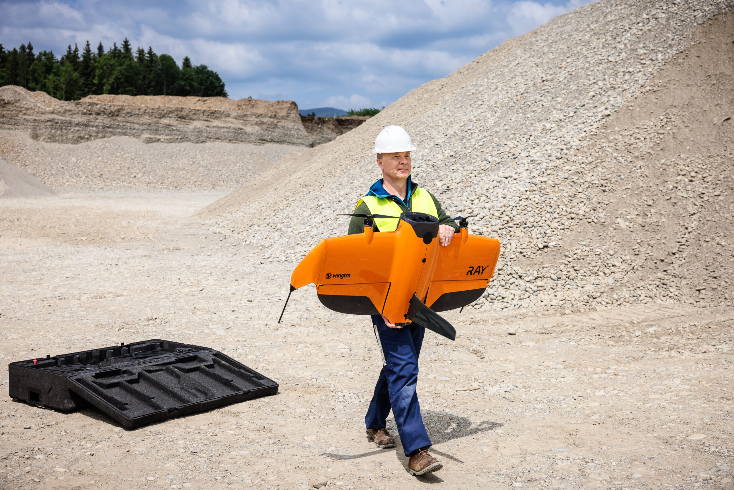
Fixed-wing survey drones generate lift from their wings in the same way as a conventional aircraft, flying forward continuously rather than hovering. This aerodynamic efficiency means they cover far more ground per battery charge than a multi-rotor platform, making them well suited to large area surveys. The WingtraRAY is KOREC’s primary fixed-wing survey platform, a vertical take-off and landing (VTOL) fixed-wing that combines the coverage advantage of fixed-wing flight with the ability to take off and land from a small area without a runway or catapult.
Fixed-wing platforms carry survey-grade payloads including the Wingtra SURVEY61, a 61-megapixel full-frame nadir camera that delivers high-resolution orthomosaics with minimal ground control requirements, and the MicaSense RedEdge Panchromatic for multispectral applications. The Wingtra LIDAR payload extends capability to LiDAR data capture for vegetation penetration and high-accuracy terrain modelling.
Multi-rotor drones generate lift from multiple spinning rotors and can hover in a fixed position, take off and land vertically from almost anywhere, and fly in complex patterns including orbits, façade passes, and manual flight for inspection work. KOREC’s primary multi-rotor survey platforms are the DJI Matrice 4 Series, which covers a range of configurations including the DJI Matrice 4D for mapping and the DJI Matrice 4T and DJI Matrice 4TD for thermal and inspection applications.
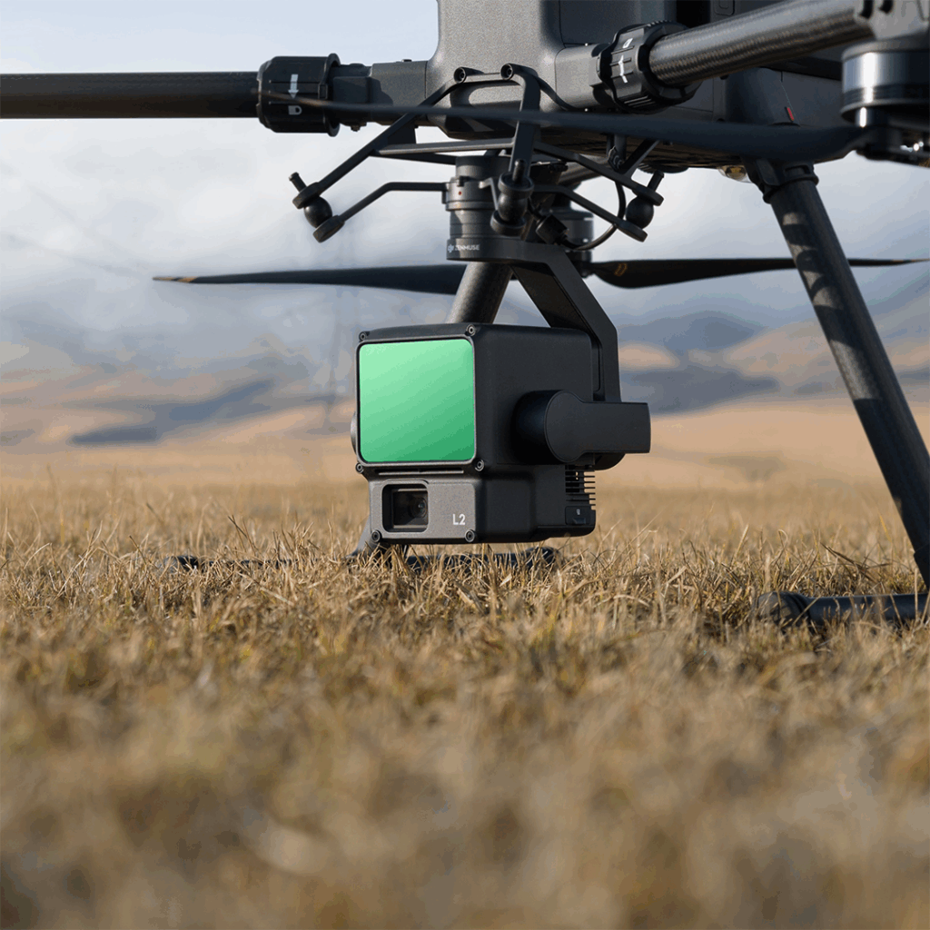
Multi-rotor platforms support a wide range of interchangeable payloads. For survey-grade photogrammetry, the Zenmuse P1 delivers 45-megapixel full-frame imagery with a mechanical shutter optimised for aerial data capture. For environments where canopy penetration or high-accuracy terrain modelling is required, the Zenmuse L2 and Zenmuse L3 are DJI’s LiDAR payload options, combining LiDAR, IMU, and RGB camera in a single unit.
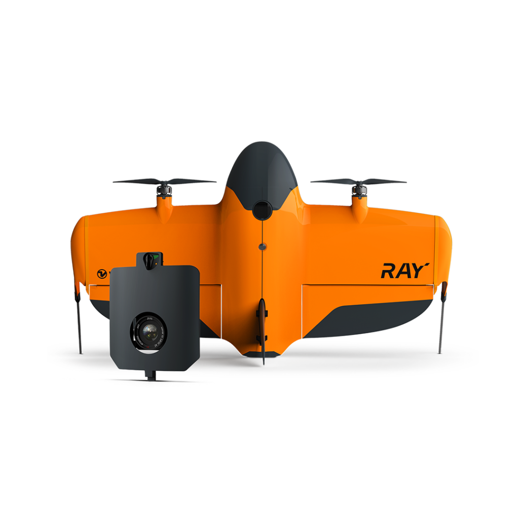
This is the most significant practical difference between the two platform types. The WingtraRAY can cover 500 hectares or more in a single flight at survey-grade GSD, thanks to the aerodynamic efficiency of fixed-wing flight. A multi-rotor platform such as the DJI Matrice 4D typically covers 200 to 400 hectares per battery set under similar conditions, though battery swaps on site extend total coverage.
For large open sites, the coverage advantage of the WingtraRAY directly reduces the number of flights, the time on site, and the volume of data requiring processing. For smaller or more complex sites, the difference is less meaningful and the multi-rotor’s flexibility becomes more relevant.
Both platform types are capable of survey-grade accuracy when deployed correctly with appropriate ground control or onboard RTK positioning. The WingtraRAY’s high-resolution payloads and stable fixed-wing flight path produce very consistent imagery suited to demanding topographic and mapping applications. Multi-rotor platforms match this for most applications and offer the additional advantage of being able to fly oblique passes, double-grid patterns, and façade orbits that improve data quality on complex sites.
For most survey applications, platform type is not the limiting factor for accuracy. Ground control quality, image overlap, GSD, and processing approach have a greater influence on the final accuracy than the choice of fixed-wing versus multi-rotor.
Multi-rotor platforms are simpler to deploy in the field. The DJI Matrice 4 Series unfolds from a compact case, requires minimal assembly, and can be airborne within a few minutes of arriving on site. It can take off and land from a pavement, a car park, or a small clear area on site. Conventional fixed-wing platforms typically require more setup time, a larger clear area for take-off and landing (often via runway or catapult launch), and more structured pre-flight preparation. The WingtraRAY, however, is a hybrid VTOL platform: because it takes off and lands vertically like a multi-rotor, it avoids these constraints and can operate from small, confined sites in much the same way, before transitioning to efficient fixed-wing flight for the survey itself.
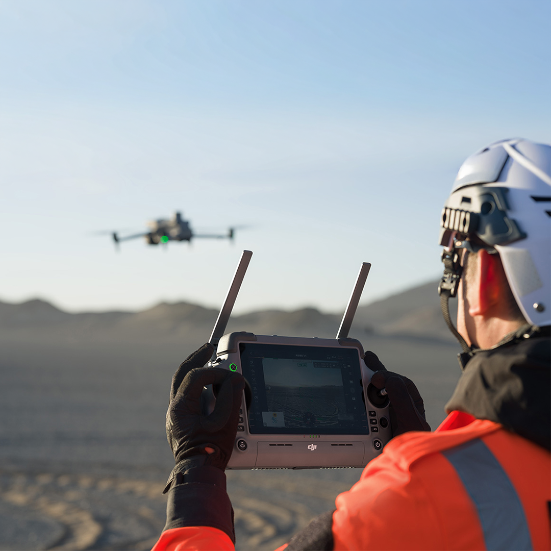
Both platform types have operational wind speed limits, typically in the range of ten to twelve metres per second for professional survey platforms. Fixed-wing aircraft are generally more stable in moderate wind because their forward speed gives the control surfaces authority over the airframe. Multi-rotor platforms can be more affected by gusty or turbulent conditions, particularly at higher altitudes.
Rain and high humidity affect both platform types and should be avoided where possible regardless of platform choice.
Fixed-wing platforms with survey-grade payloads represent a higher initial investment than comparable multi-rotor configurations. Operating costs per hectare are typically lower for fixed-wing platforms on large sites, because fewer flights are needed to cover the same area, reducing battery consumption, pilot time, and field days. On smaller sites where a multi-rotor covers the area in a single battery, this cost difference is negligible.
Maintenance requirements differ between the two types. Fixed-wing platforms have fewer moving parts than a multi-rotor but require more careful handling on landing. Multi-rotor platforms carry more rotors and motors, each of which is a potential service item, but propeller and motor replacement is typically straightforward and low-cost.
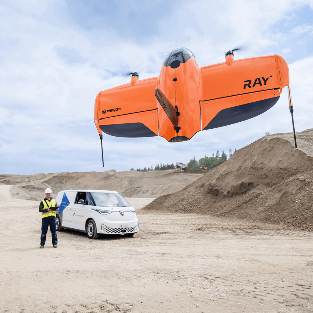
Fixed-wing platforms are the natural choice when the survey area is large, open, and relatively flat or gently undulating. Agricultural land surveys, large greenfield development sites, moorland and coastal mapping, forestry surveys, and large-scale environmental monitoring are all applications where the coverage advantage of the WingtraRAY delivers a direct reduction in field time and cost relative to a multi-rotor.
Roads, railways, pipelines, rivers, and coastlines involve long narrow survey corridors that can extend for many kilometres. A fixed-wing platform covers these efficiently in a fraction of the time a multi-rotor would require, and the consistent altitude and forward speed of fixed-wing flight produces well-matched imagery across the full length of the corridor.
For businesses conducting regular repeat surveys of large sites, such as monthly volume surveys of a quarry or aggregate site, the per-hectare cost efficiency of a fixed-wing platform becomes commercially significant over time. The WingtraRAY’s consistent flight parameters also make repeat survey comparison more reliable, as the data acquisition conditions are closely matched between flights.
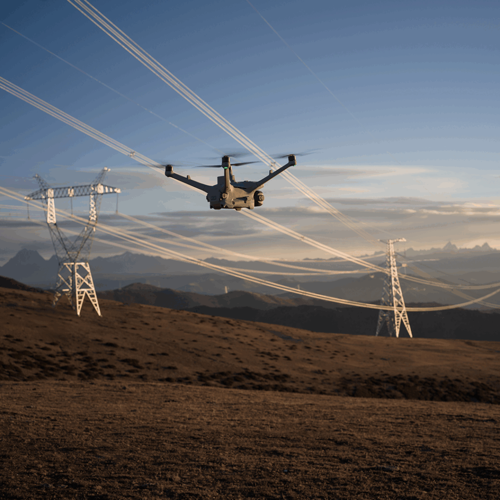
For residential plots, small development sites, town centre surveys, and any area under 50 hectares where a complete flight can be completed within one or two battery sets, a multi-rotor platform such as the DJI Matrice 4D is the more practical choice. Setup is faster, the operational footprint is smaller, and there is no coverage advantage to be gained from a fixed-wing platform on a site this size.
Multi-rotor platforms can hover, orbit, and fly oblique passes in ways that fixed-wing platforms cannot. For surveys that include building facades, retaining walls, quarry faces, bridge structures, or any surface with significant vertical extent, the multi-rotor’s ability to fly close and at varied angles produces better data than a nadir-only fixed-wing pass. Double-grid missions on the DJI Matrice 4D significantly improve reconstruction of vertical surfaces compared to a single-pass grid.
Infrastructure inspection, asset condition surveys, and any application requiring close-range, high-resolution imagery of a specific feature are better served by a multi-rotor platform. The DJI Matrice 4TD combines a mapping camera with a thermal payload, making it suitable for inspection work requiring both visual and thermal data from a single flight. The ability to hover in position and capture static imagery of a specific defect is not achievable with a fixed-wing platform.
Tight urban sites, enclosed industrial yards, ports, and any environment where there is limited clear airspace for a take-off run or fixed-wing circuit require a multi-rotor platform. The DJI Matrice 4 Series can operate in environments that a fixed-wing platform simply cannot access, and the smaller ground footprint of a multi-rotor reduces coordination requirements on active sites.
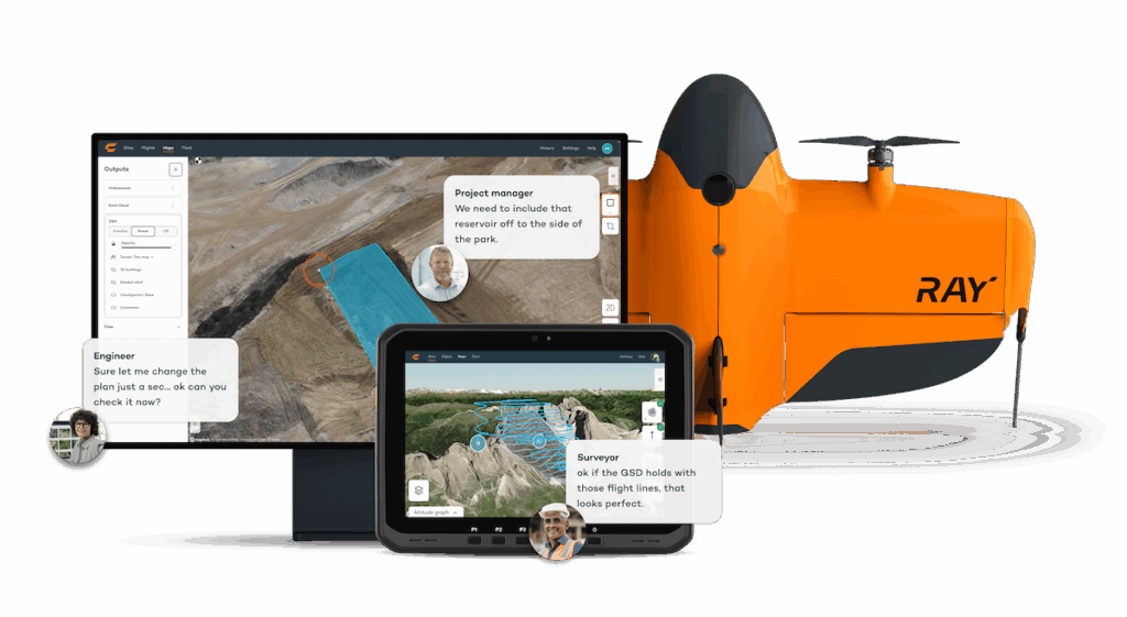
The WingtraRAY represents a category that combines elements of both platform types. It takes off and lands vertically like a multi-rotor, removing the need for a runway, catapult, or net recovery system, but transitions to efficient fixed-wing flight for the survey mission itself. This gives it the coverage advantage of a fixed-wing platform with significantly more deployment flexibility than a conventional fixed-wing aircraft.
For businesses that primarily need large-area coverage but want the ability to operate from smaller sites, the VTOL fixed-wing is the most practical solution. The transition between hover and fixed-wing flight is fully automated, and the platform can be recovered to a precise landing spot even in relatively confined areas.
The following summary covers the most common survey project types and the platform that typically serves each best.
The platform that makes commercial sense for your business is the one that covers your most frequent project type most efficiently. If the majority of your work is large open-site topographic survey, a fixed-wing platform pays for itself quickly through reduced field time. If most of your work is on smaller mixed sites with variable requirements, a capable multi-rotor gives you more flexibility across a wider range of applications.
Many professional survey businesses run both platform types, using a fixed-wing for large coverage work and a multi-rotor for everything else. The two platforms are complementary rather than competing: the WingtraRAY covers the survey site efficiently while the DJI Matrice 4D handles the structural detail, the inspection work, or the confined areas that the fixed-wing cannot access. Starting with one platform and adding the second as workload demands is a sensible approach.
Platform purchase price is one input. Battery sets, payload lenses, maintenance, pilot time, processing software, and CAA authorisation all contribute to the cost of operating a drone survey capability. For a business doing occasional drone work, a multi-rotor with a survey payload is a lower-risk initial investment. For a business where drone survey is a primary service, the WingtraRAY’s per-hectare efficiency at scale makes it the more cost-effective long-term choice on large-area work.
Both platform types require a qualified remote pilot holding the General Visual Line of Sight Certificate for commercial operations. Fixed-wing VTOL platforms have a steeper initial learning curve than multi-rotor platforms, particularly around mission planning, transition management, and recovery in the event of a missed approach. Factor training time into the deployment timeline when introducing a new platform type. Platform weight is a separate consideration: the maximum take-off weight (MTOW) of the selected platform determines which CAA operational category and class mark apply, which in turn affects permitted proximity to people and property and whether additional operational authorisation is required. This should be checked for the specific platform and configuration being deployed, alongside pilot training, when planning a new platform introduction.
KOREC works with trusted CAA Recognised Assessment Entity partners to provide access to pilot qualification training and platform-specific skills development for both DJI and Wingtra systems.
KOREC supplies the full WingtraRAY , DJI Matrice 4 Series and Large enterprise drone platform range alongside payloads, processing software, correction services, and pilot training through trusted CAA Recognised Assessment Entity partners. If you are assessing which platform is the right starting point for your business, our team can help you work through the options based on your actual project profile. See the full drone and UAV systems range or explore our industry pages for surveying and mapping and GIS applications.
Conventional fixed-wing drones cannot hover; they must maintain forward airspeed to generate lift. VTOL fixed-wing platforms such as the WingtraRAY can hover during take-off and landing, but transition to fixed-wing flight for the survey mission and do not hover during data capture.
Both platform types are capable of centimetre-level accuracy when deployed with appropriate ground control or RTK positioning. The limiting factors for accuracy are ground control quality, image overlap, GSD, and processing approach rather than whether the platform is fixed-wing or multi-rotor.
Most photogrammetric processing platforms handle imagery from both fixed-wing and multi-rotor sources without distinction. Pix4D Mapper/Matic, DJI Terra, WingtraCLOUD, and Trimble Business Center Aerial Photogrammetry all support imagery from multiple platform types. Some platforms, such as WingtraCLOUD, are optimised for their own platform’s data but can also handle third-party imagery.
KOREC’s hire fleet includes UAV platforms available for project-specific use, allowing your team to assess a platform in a real survey environment before purchase. See the KOREC hire range for current availability.
KOREC can advise you on the right total drone for your project. Speak to our friendly experts today to get the right technology to solve your business challenges.