How Geospatial Technology Is Changing Collision Investigation
Find out how modern geospatial tools are transforming road traffic collision investigation, reducing scene clearance time, improving evidence quality, and producing more accurate reconstructions for court.
Our scanning specialist with 20+ years in geospatial, Melvin has spent a decade capturing huge volumes of data with laser scanners, and is equally passionate about promoting surveying careers through school talks and college partnerships.
Anyone who has worked a collision scene knows the pressure of the clock running while a road stays closed. Geospatial technology has changed what that pressure means in practice, not by making the work less careful, but by making it dramatically faster and, at the same time, more thorough than traditional methods ever allowed.
A closed carriageway after a collision is not a neutral pause. It disrupts traffic for everyone using that route, can delay emergency response on diversions, and keeps the wider road network under strain for as long as the closure lasts. The economic cost of hours-long closures on busy routes is substantial, and it accumulates with every additional minute the scene remains closed.
Why Traditional Methods Took So Long
Before 3D scanning became widely available, documenting a collision scene meant manual measurement: tape measures, sketches, and a limited set of recorded points, all taken by hand while the road stayed closed around the investigators doing the work. This was thorough by the standards of its time, but it was also slow, and it only ever captured a sample of the scene rather than a complete record of it.
How Geospatial Technology Changes the Scene
Complete Scene Capture in Minutes Rather Than Hours
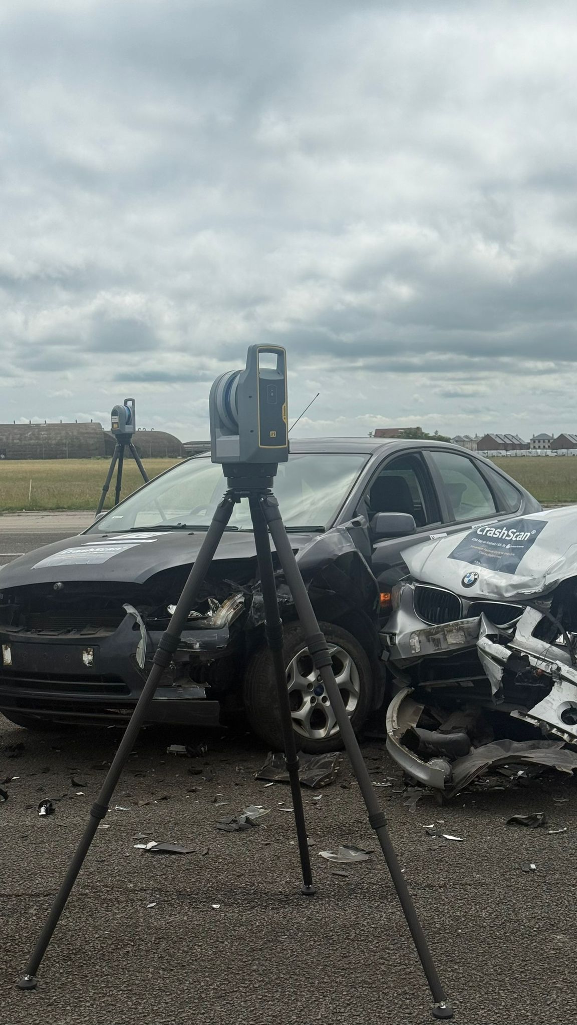
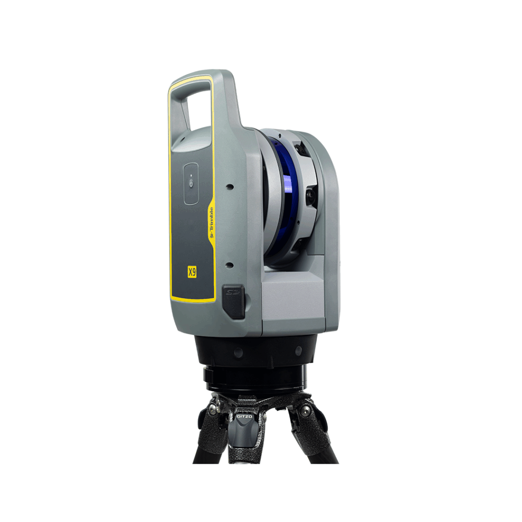
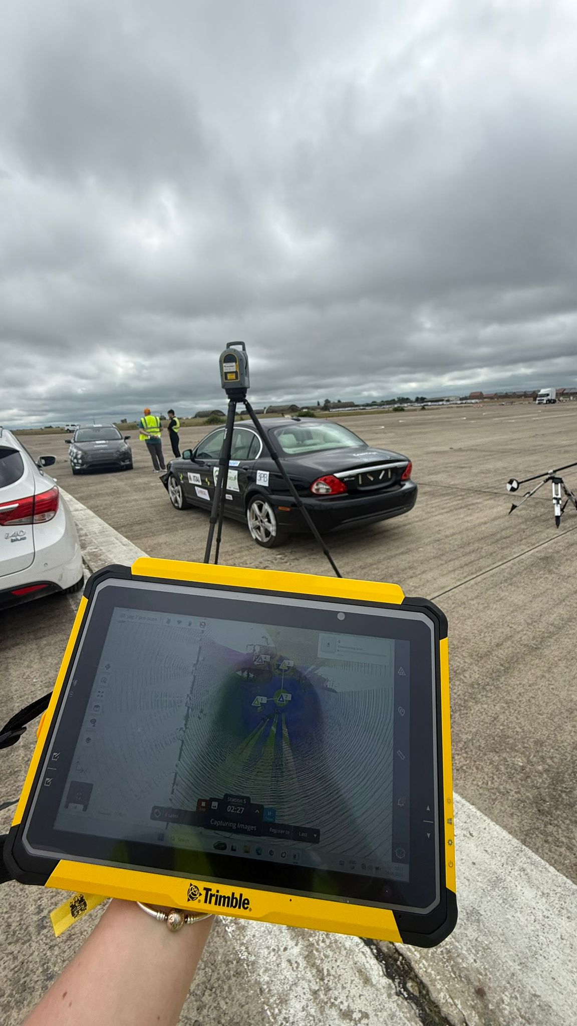
Where traditional methods took hours to capture a sample of a scene, a 3D laser scanner such as the Trimble X9 captures the complete scene in minutes. This single change is what allows roads to reopen far sooner, directly addressing the economic and operational cost described above. Our guide on crime scene laser scanners explains how this works in more detail.
A Permanent, Measurable Record of the Scene
Where the old approach left investigators with a sketch and a handful of measurements, the point cloud a scanner produces is a complete, permanent record that can be returned to and measured from at any point in the future. This is a genuine change in what is possible, not simply a faster version of the same old process.
Evidence That Can Be Analysed After the Road Reopens
Because the data persists after the scene is cleared, analysis is no longer constrained to whatever could be measured before the road needed to reopen. A question that arises weeks into an investigation can still be answered from the existing scan, something that was simply impossible under the old manual approach.
The Technology Behind Modern Collision Investigation
3D Laser Scanning: Capturing the Full Scene
Where manual measurement once relied entirely on what an investigator chose to record by hand, a scanner such as the Trimble X9 now captures everything visible from a scan position automatically, with nothing left to be remembered or guessed at later.
Trimble Forensics Capture: Managing the Field Workflow
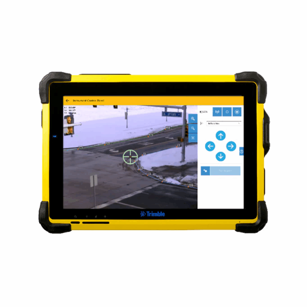
Where investigators once had to remember every step of a complex process unaided, Trimble Forensics Capture now guides that workflow, helping ensure nothing at the scene gets missed under time pressure. Our guide on Trimble Forensics Capture covers this in full.
Trimble Forensics Reveal: Analysis and Reconstruction in the Office
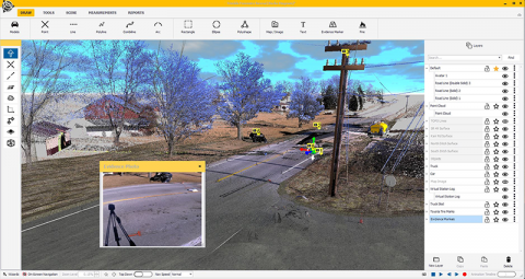
Where analysis once depended on whatever measurements had already been taken by hand, Trimble Forensics Reveal now lets investigators take new measurements and build full reconstructions from the captured point cloud, long after the scene itself is gone. Our guide on Trimble Forensics Reveal explains its analytical capability in depth.
Trimble Forensics ShowCase: Presenting Evidence in Court
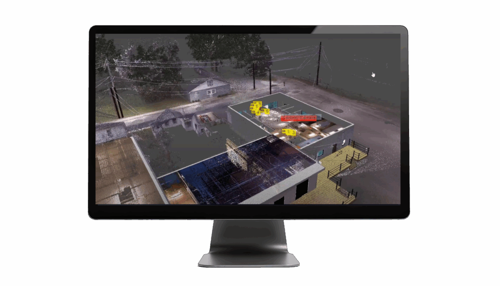
Where a courtroom once relied on static photographs and diagrams, Trimble Forensics ShowCase now presents 360-degree scene renderings a jury can genuinely understand. Our guide on forensic mapping software covers the full chain from capture to courtroom.
The Quality of Evidence Geospatial Technology Produces
Measurements Taken From Data, Not Memory
Every measurement taken from a point cloud traces back to data captured at the scene, rather than relying on an investigator’s notes or recollection of where something was. This distinction matters considerably when evidence is challenged, since the underlying data can be examined directly rather than taken on trust.
3D Reconstruction for Trajectory and Impact Analysis
Trajectory and impact analysis, once estimated from limited measurements and experience, can now be modelled directly against the measured geometry of the actual scene, producing a more defensible and more precise result.
Visualisations That Juries and Legal Teams Can Understand
A jury with no technical background can follow a clear 3D visualisation far more easily than a set of measurements on a page, which makes the evidence not just more accurate but more genuinely understandable to the people who need to make sense of it.
What the Transition Looks Like in Practice
Teams Already Using Traditional Methods
Teams still relying on manual measurement are not doing anything wrong, but they are working with a method that takes longer and captures less than what is now available. The transition to geospatial tools is best thought of as an upgrade to existing investigative practice rather than a wholesale change in approach, since the underlying purpose of documenting a scene accurately stays exactly the same.
Training and Support for Geospatial Tools in Forensics
Moving to geospatial tools involves a learning curve, and the teams that adopt it most successfully are the ones who invest properly in training rather than treating the equipment as something that will be picked up informally on the job. KOREC provides structured training across the full range of forensic equipment and software covered in this series.
Frequently Asked Questions
How much does geospatial equipment reduce scene clearance time?
The reduction varies by scene, but a scan that takes minutes with the Trimble X9 routinely replaces a manual measurement process that would have taken hours for an equivalent scene, particularly for larger outdoor collision sites.
Is the evidence produced by 3D scanning accepted in UK courts?
Yes, provided it has been captured and processed using a defensible, documented methodology. This is consistent with how any forensic evidence is treated: the underlying process and chain of custody matter as much as the technology used to produce it.
How does KOREC support police and highways teams moving to geospatial investigation tools?
Learn more about how Geospatial Technology is changing collision investigation
KOREC can advise you on how geospatial technology is changing collision investigation. Speak to our friendly experts today to get the right technology to solve your project challenges.
Latest Advancements in GNSS Receiver Technology: Inside the Trimble ST30
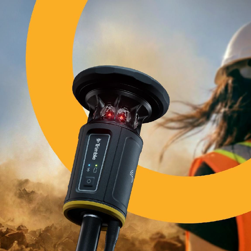
An in-depth look at the Trimble ST30 smart target, covering how it brings tilt compensation to total station measurements for the first time, alongside automatic rod height, industry-leading optical tracking...
How 3D Laser Scanners Are Used at Crime and Collision Scenes
Find out how 3D laser scanners capture complete crime and collision scenes in minutes, why speed matters for scene clearance, and how point cloud data supports evidence analysis and court...
What Equipment Is Used in Forensic Scene Documentation?
Discover the geospatial equipment used at crime and collision scenes, from 3D laser scanners and total stations through to GNSS, and how each tool contributes to accurate, court-ready documentation.