UAV Drone Survey Workflow: End-to-End Process
A step-by-step guide to the complete UAV drone survey workflow, from initial project planning through to final deliverables, covering best practices and quality checkpoints at every stage.




A step-by-step guide to the complete UAV drone survey workflow, from initial project planning through to final deliverables, covering best practices and quality checkpoints at every stage.
A drone survey is not simply a flight. The aircraft is one part of a workflow that spans several days, involves decisions that compound across every stage, and produces outputs whose quality is directly tied to the care taken at each step. Understanding the full process is what separates reliable, repeatable survey results from variable ones.
This guide covers the end-to-end process across five phases. For context on the broader case for drone surveying, equipment, and applications, see our companion guides on drones and surveying: benefits and best practices and UAV 3D mapping: from raw data to deliverables. Alternatively, for an introduction to drone surveying read our guide: What is drone surveying?
A well-executed drone survey follows five sequential phases. Each builds on the last, and shortcuts taken early create problems that are expensive to resolve later.
The quality of a drone survey is determined as much by what happens before the aircraft leaves the ground as by the flight itself.
Start by establishing what the project requires: the area to be surveyed, the accuracy and ground sample distance needed, the deliverable formats expected, and the coordinate system and vertical datum. Confirm these before any fieldwork is planned, as coordinate system mismatches are one of the most common sources of error in drone survey projects.
A desktop site assessment using mapping tools and aerial imagery should precede any site visit. Identify airspace constraints, obstacle hazards, and terrain features that will influence flight planning. A site visit confirms access, suitable GCP locations, and any additional permissions needed from landowners or occupiers.
In the UK, commercial drone operations are regulated by the Civil Aviation Authority. The remote pilot must hold a valid qualification such as the General Visual Line of Sight Certificate, and the operator must hold appropriate CAA authorisation. Operations near aerodromes, congested areas, or within controlled airspace require additional permissions. NOTAM Info must be checked before every flight. KOREC works with trusted CAA Recognised Assessment Entity partners, including IPRO SURV Drone Solutions, to provide access to pilot qualification training.
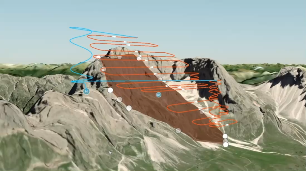
Flight planning software, including DJI Pilot 2, WingtraCLOUD, and Pix4D capture, is used to define the survey boundary, set flight altitude, configure overlap, and calculate the ground sample distance. For most topographic survey applications, a GSD of two to five centimetres is appropriate, with a minimum of 75 to 80 per cent frontlap and 60 to 70 per cent sidelap. On sites with vertical surfaces, a double-grid or crosshatch pattern significantly improves reconstruction quality.
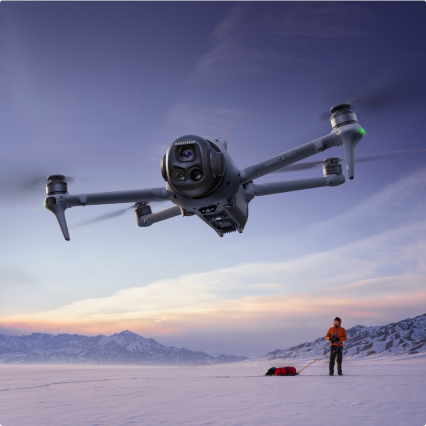
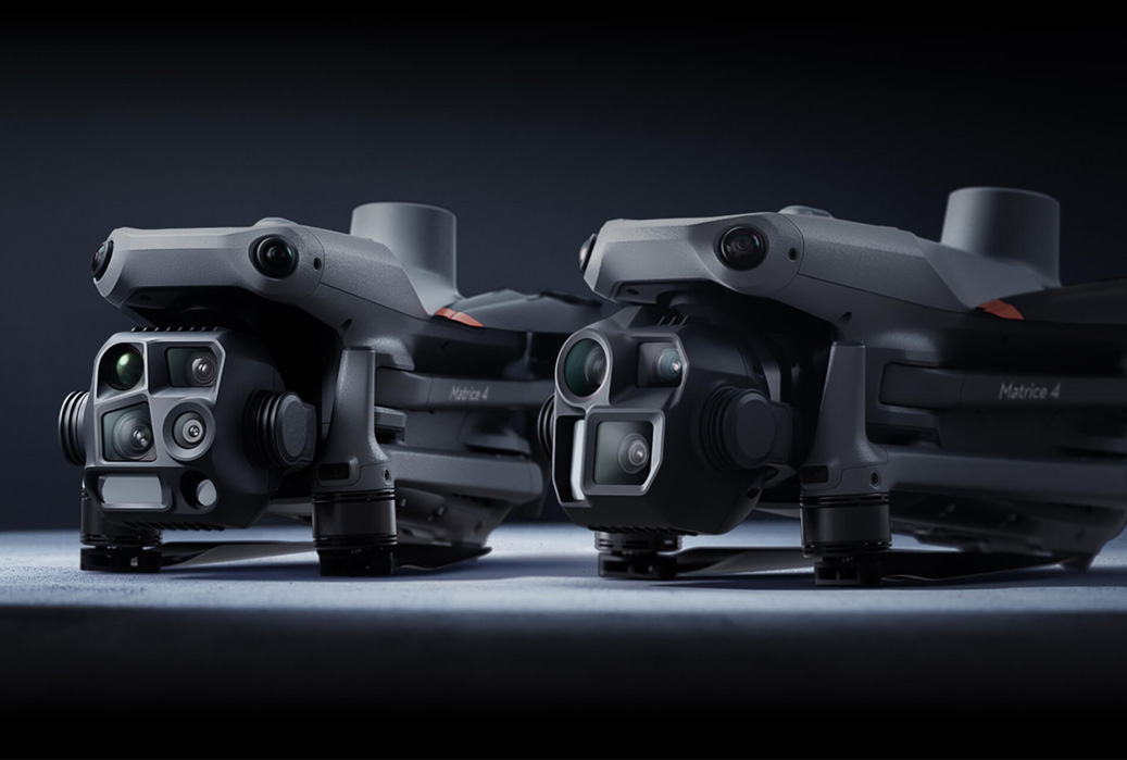
Platform selection depends on site size and terrain. The WingtraRAY is suited to large open sites; the DJI Matrice 4 Series suits smaller or more complex sites and DJI M400 supports payloads including the Zenmuse P1 for photogrammetry and the Zenmuse L2 or Zenmuse L3 for LiDAR where canopy penetration is needed.
Check forecast wind speed, precipitation, and cloud base in advance and again on the day. Most professional survey platforms have a maximum wind speed limit of around ten to twelve metres per second. The go/no-go decision must be made by the remote pilot based on conditions, not under commercial pressure to fly. A delayed flight is recoverable; corrupted data or damaged equipment is not.
Ground control points (GCPs) are surveyed reference markers used to georeference drone imagery to a known coordinate system. A minimum of five, well-distributed across the survey area, is recommended. GCPs should be positioned well within the site boundary rather than at the very edges, as markers placed too close to the perimeter may not appear in enough overlapping images to be reliably detected.
Independent check points, separate from the GCPs used in processing, should always be surveyed to verify output accuracy. They are the only objective measure of whether the survey meets the specified accuracy and cannot be manipulated after the fact.
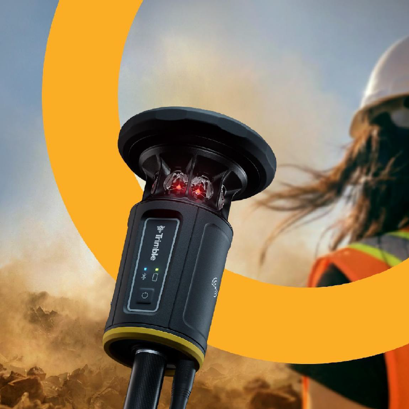
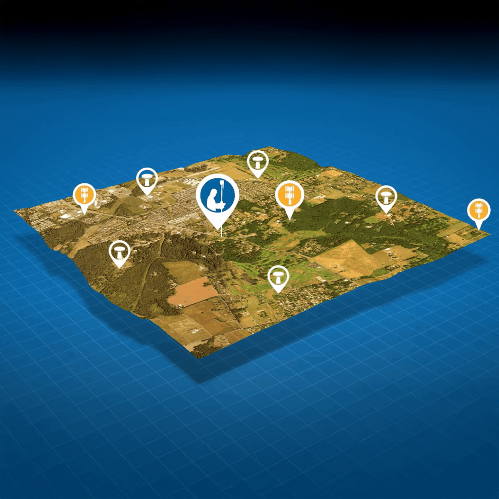
Platforms with onboard RTK or PPK receivers, including the DJI Matrice 4D and WingtraRAY, can reduce or eliminate the need for physical GCPs. Trimble VRS Now UAV provides RTK corrections across the UK network without a local base station. Independent check points should still be surveyed regardless of the positioning method used.
Before flying, confirm the takeoff and landing area is clear of obstacles and bystanders. On active construction sites, coordinate with site management to establish a safety exclusion zone during flight operations. Brief everyone present on the flight plan and the procedure in the event of an emergency.
Before arming the aircraft, carry out all manufacturer-recommended pre-flight checks: confirm GNSS fix, compass calibration, battery levels, payload mounting, and that the flight plan has been loaded and reviewed as per operations manual. Allow time for onboard RTK receivers to achieve a fixed solution before takeoff. Flying before RTK has initialised is a common source of positioning errors in datasets where GCPs are not used.
Once on the automated mission, the remote pilot’s role shifts to monitoring. Watch for unexpected aircraft behaviour, changes in weather, and any unplanned airspace activity. Keep the aircraft in visual line of sight at all times unless operating under a specific BVLOS authorisation.
Where the mission planning software provides a live image feed, check a sample of images during the flight for motion blur and poor exposure. Problems identified in the air can sometimes be corrected before the mission ends; problems discovered after landing require a return visit.
Before leaving site, transfer the imagery to a field device and confirm the number of images captured matches the mission plan, that coverage is complete with no gaps, and that no memory card errors have occurred. On sites where a return visit would be costly, this check is essential. After landing, follow the manufacturer’s shutdown procedure, label and secure memory cards, and log flight times and any deviations from the planned mission.
Phase 4 transforms raw imagery or LiDAR data into georeferenced outputs. The quality of the field decisions made in Phases 1 to 3 becomes fully apparent here.
Back up all raw data before processing begins. Review the dataset and remove any images not captured as part of the planned mission parameters, such as those taken during takeoff, landing, or unplanned deviations from the flight path. Confirm the coordinate reference system of the image geotags matches the project coordinate system before importing into software.
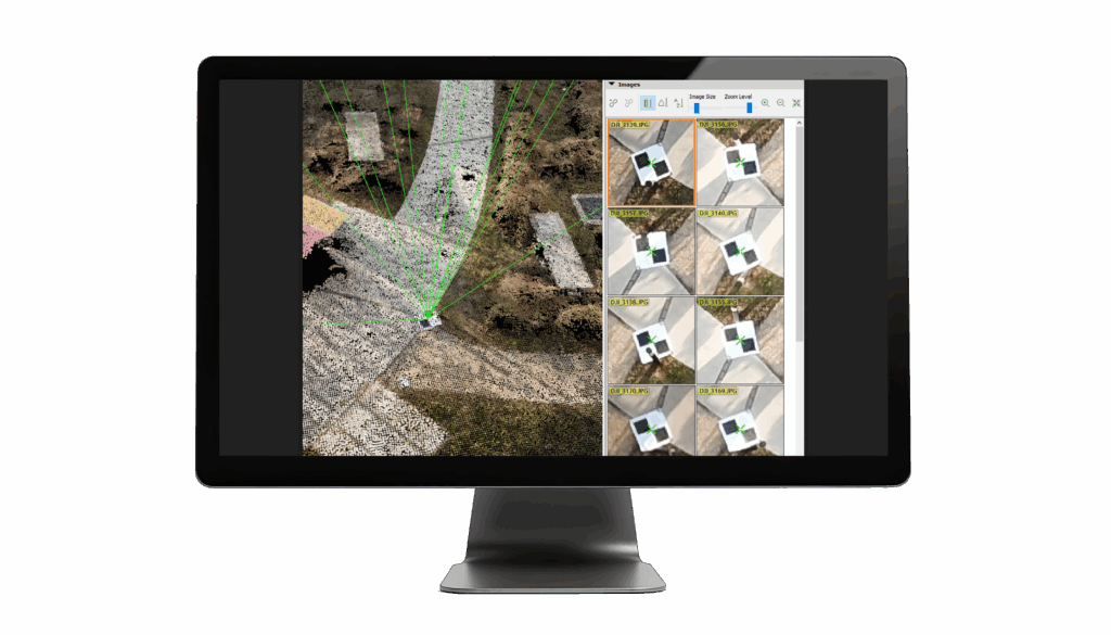
Photogrammetric processing platforms available through KOREC include Pix4D Mapper, DJI Terra, WingtraCLOUD, and Trimble Business Center Aerial Photogrammetry. Import GCP coordinates as a CSV file and mark each GCP in at least eight to ten images from varied viewing angles. Bundle adjustment then refines the solution across all camera positions and GCP locations.
Check point residuals in the quality report provide the objective accuracy measure for the project. Residuals significantly larger than the accuracy specification require investigation before any deliverables are produced. Common causes include poor GCP distribution, coordinate system mismatches, and insufficient image overlap.
For a detailed walkthrough of the full processing pipeline, see our companion guide on UAV 3D mapping: from raw data to deliverables.
Before any deliverable leaves the team, confirm that the coordinate system is correct, accuracy has been validated against independent check points, and all formats requested by the client have been produced. Any known limitations should be documented rather than concealed.
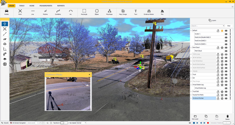
Platforms such as Propeller provide built-in measurement tools for volumes, distances, and areas within their cloud-based environment. Soarvo, available through KOREC, allows clients to view, measure, and collaborate on drone outputs alongside data from total stations, laser scanners, and GIS files in a web browser, without specialist software.
A professional drone survey includes a processing report documenting the flight parameters, GCP and check point residuals, software used, and final accuracy assessment. Archive raw imagery, GCP data, processing projects, and final deliverables in a structured folder system. Being able to reprocess data against updated requirements months after the original survey frequently has real value.
The five phases are pre-flight planning and preparation, ground control and site setup, data acquisition and flight operations, data processing and analysis, and deliverables and project completion. Each phase builds on the last, and shortcuts taken early create problems that are expensive to resolve later.
Most professional survey platforms have a maximum wind speed limit of around ten to twelve metres per second. The go/no-go decision should be made by the remote pilot based on conditions, not under commercial pressure to fly, since a delayed flight is recoverable but corrupted data or damaged equipment is not.
Flying before an onboard RTK receiver has achieved a fixed solution is a common source of positioning errors in datasets where ground control points aren’t used. Allowing time for initialisation before takeoff helps avoid this issue.
Confirm that the number of images captured matches the mission plan, that coverage is complete with no gaps, and that no memory card errors have occurred. This check is essential on sites where a return visit would be costly.
Common causes include poor GCP distribution, coordinate system mismatches, and insufficient image overlap. Residuals significantly larger than the accuracy specification should be investigated before any deliverables are produced.
A processing report should document the flight parameters, GCP and check point residuals, software used, and final accuracy assessment. Archiving raw imagery, GCP data, and processing projects alongside final deliverables allows the data to be reprocessed later if requirements change.
KOREC supplies a comprehensive range of drone and UAV systems, payloads, processing software, and correction services, alongside pilot training through trusted CAA Recognised Assessment Entity partners. Whether you are establishing a new drone survey capability or looking to improve the consistency of an existing workflow, our team is on hand to help. Explore our resources for surveying and mapping and GIS applications.
KOREC can advise you on the right drone workflow for your project. Speak to our friendly experts today to get the right technology to solve your business challenges.