How an Aerial Survey Drone Increases Productivity
Find out where the real productivity gains from aerial survey drones come from and how to unlock them reliably in practice.


Find out where the real productivity gains from aerial survey drones come from and how to unlock them reliably in practice.
For survey firms, construction businesses, and land management operations, productivity is not just about working faster. It is about completing more high-quality work with the same team, reducing the time between data collection and decision-making, and freeing up skilled professionals for analysis rather than logistics. Aerial survey drones have become one of the most significant tools for achieving all three at once. This article focuses on the productivity case: where the gains come from, how they are measured, and how to unlock them reliably in practice. For detail on equipment options and the data processing pipeline, see our companion guides on drone surveying best practices and UAV 3D mapping.
A topographic survey of a 50-hectare site using total stations and GNSS receivers might require two or three experienced surveyors working over two to three days, with additional time for processing and drawing production. Access constraints, instrument setups, re-observation of out-of-tolerance points, and adverse weather all extend that timeline in ways that are difficult to plan around. The result is a workflow where a significant proportion of a survey team’s time is consumed by physical presence on site rather than by the analysis and interpretation that delivers the most value. For growing firms, this is also the primary constraint on capacity: a team fully occupied on site cannot scale output without adding headcount.
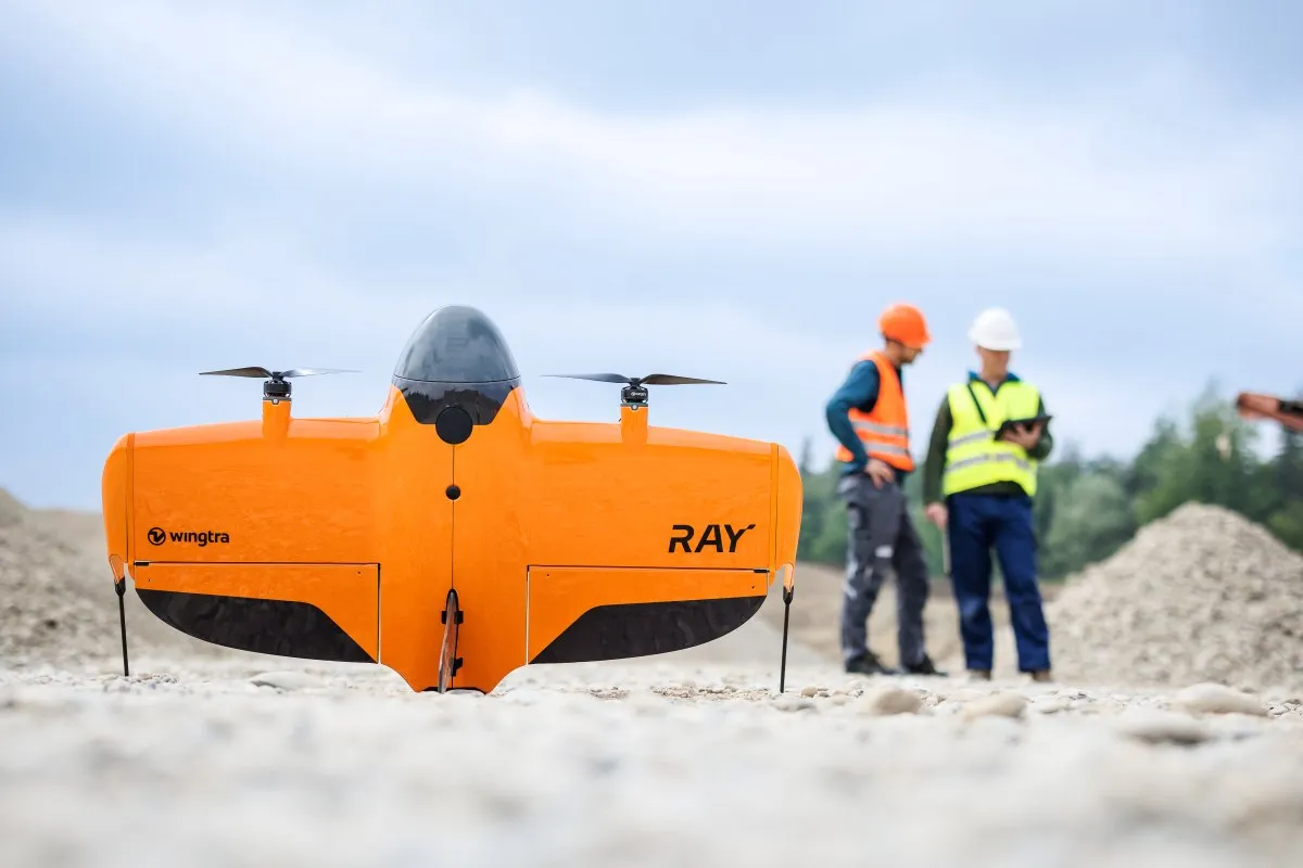
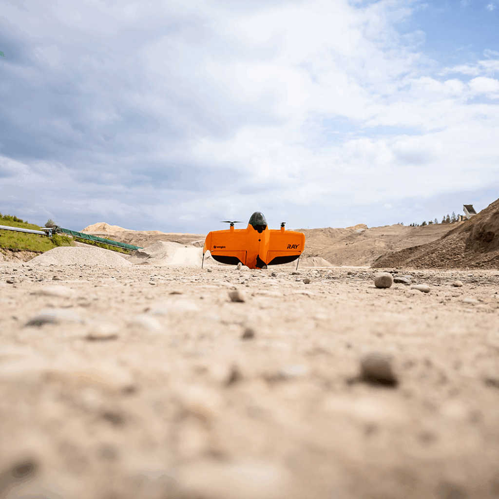
The most immediately visible gain is the speed at which large areas can be captured. A site that would take a ground team several days can be covered in a single flight session. Fixed-wing platforms such as the WingtraRAY survey hundreds of hectares per flight at survey-grade accuracy; multirotor systems from the DJI Matrice 4 Series cover smaller or more complex sites quickly and can be repositioned as needed. Large-area topographic surveys typically see field time reduced by 70 to 85 per cent compared to ground-based methods. A 200-hectare greenfield site that would require three surveyors for three to four days can be completed by a drone pilot in a single morning, with deliverables ready the following day.
Beyond the direct labour saving, this enables the senior surveyor to dedicate time to developing client-specific deliverables from photogrammetry or LiDAR outputs, or to focus on specialist ground-based work that genuinely requires their expertise. With processing now largely automated through cloud-based platforms or desktop applications, the bottleneck shifts from data handling to interpretation and delivery. A drone pilot operating a fixed-wing UAV can capture 200 to 500 hectares per day: roughly 30 to 50 times more coverage per person than a surveyor with a total station on the same open site.
Some of the most costly delays in conventional surveying are not caused by the survey itself but by gaining safe access to the area being measured. Steep embankments, live road corridors, active construction zones, contaminated ground, and structures at height all require risk assessments, specialist access solutions, and in many cases additional contractor involvement. A drone significantly reduces the need for physical access, though a risk assessment is still required for the flight itself. In practice this is considerably less time-consuming and complex than the access planning required for ground-based survey in hazardous environments. On infrastructure inspection projects where rope access teams or elevated work platforms might previously have been required, the time and cost savings are substantial.
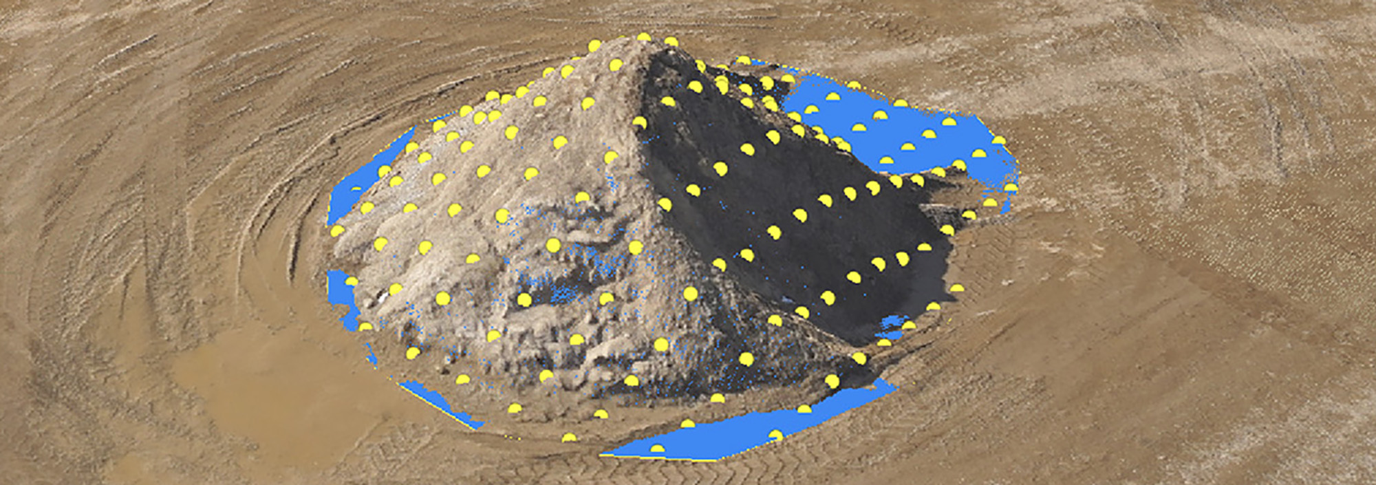
The productivity case is even stronger for ongoing monitoring programmes than for one-off surveys. Once a site has been set up with ground control and a flight plan established, repeat surveys take a fraction of the initial visit time. A monthly stockpile measurement that required a ground team four to six staff hours, including travel, setup, and processing, typically takes under two hours by drone with results available the same day. Over twelve months, that represents a reduction from 48 to 72 staff hours to 18 to 24 for the same number of surveys, at comparable or better accuracy.

Productivity gains do not end when the drone lands. Modern photogrammetry platforms have automated much of the processing pipeline, generating orthomosaics, surface models, and point clouds with minimal manual input, either overnight or in the background while the team focuses on other work. Processing can be handled locally via desktop applications such as DJI Terra, or through cloud-based platforms including WingtraCLOUD and Propeller, which also include built-in measurement tools for volumes, distances, and areas. Soarvo, available through KOREC, allows processed data to be shared immediately via a web browser, compressing the time from capture to client delivery and removing the bottleneck of file preparation and format conversion.
When a team can cover more ground in less time with fewer people on site, the volume of work the business can take on increases directly. A firm that previously managed eight to ten topographic surveys per month might handle fourteen to sixteen with a drone workflow and no increase in headcount. Firms where large-area data capture is a significant part of the workload regularly report capacity increases of 30 to 50 per cent. That is the gain that most directly supports business growth, faster turnaround, better responsiveness to time-sensitive opportunities, and the ability to serve more clients without turning work away.
Regular drone flights over active construction sites provide progress data for programme management and contract administration. A conventional earthworks volume survey on a large scheme might require a ground team a full day to complete; the same survey by drone can be done in two hours with results available that afternoon. Over a twelve-month contract with monthly volume surveys, the cumulative time saving is significant. For corridor surveys, a utility inspection covering 15 kilometres of overhead power line that would require four to five people over two to three days can be completed by a pilot and observer in a single day, with better imagery and a safer operation.

In the mining and quarrying sector, drone surveys have replaced manual volumetric measurement on most active sites. The productivity benefit here is as much about frequency as speed: when measurement is quick and non-disruptive, it can happen monthly or weekly rather than quarterly, producing better production data and tighter material balance calculations without placing meaningful additional demands on survey resources.
Crop health mapping, drainage surveys, boundary verification, and land condition assessments that would previously require days of walking can be completed from the air in hours. Multispectral payloads compatible with Wingtra platforms extend capability into spectral analysis, supporting crop health monitoring and land degradation assessment. KOREC’s resources on mapping and GIS provide further context on how aerial data feeds into wider land management workflows.
The productivity gains from aerial survey drones are not automatic. Weather dependency is the most consistent operational constraint: building contingency into project schedules and booking drone surveys as the first activity on a project rather than a follow-on gives the most flexibility. Regulatory compliance is an equally important consideration. CAA regulations govern where, how, and at what range drones can be operated, with distinct rules applying to VLOS and BVLOS operations depending on the application. Regulations continue to evolve, and in some cases drone capability is advancing faster than the regulatory framework that governs its use, which requires operators to stay current with requirements rather than assume that previous approvals still apply. Training is the other critical investment: operators who are proficient in mission planning, flight execution, and data processing, and who have the survey knowledge to recognise when output quality is not meeting the required standard, consistently produce better results. KOREC works with trusted CAA Recognised Assessment Entity partners to provide access to pilot qualification training and processing skills development.
Integration with existing workflows is also worth planning carefully. Drone outputs need to work directly with the CAD, GIS, or BIM tools used downstream by the survey team, the design office, and the client. Ensuring this from the outset removes friction from delivery and avoids time spent on file conversion. Explore KOREC’s full drone and UAV range, or speak to our team for advice on building a drone survey capability suited to your surveying applications.
KOREC can advise you on the right drone for your project. Speak to our friendly experts today to get the right technology to solve your business challenges.