Course Contents
- Current Trimble systems overview
- Field based survey and setting out practice with Total Station based Trimble Ri
- AR10 Mixed reality technology for inspecting BIM data in field and classroom environments
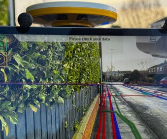
- SiteVision Augmented reality for visualising design data in a field context
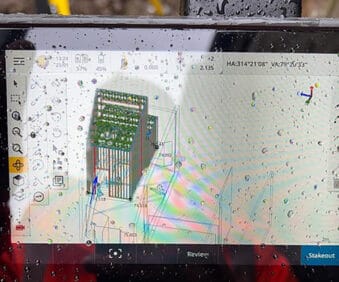
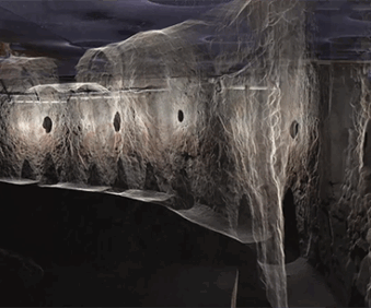
- Laser scanning for design data checks and clash detection
- Classroom based virtual teaching environment for Total Station and GNSS setting out and measuring site workflows
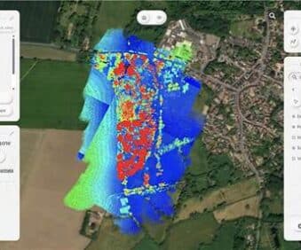
- Robotic based laser scanning
Course Details
This is a 1-day course at our Huntingdon training facility