How to Guides
Here to answer your questions.


Here to answer your questions.
Discover our ‘How to Guides’, covering everything from What’s a Land Survey to How to choose the right GNSS System for you. We want to be your guide to everything geospatial and if the answer to your question isn’t here, we will put you in touch with an expert.
Discover the different types of land surveys and why you might need one, as well as the role of a surveyor and the costs involved.
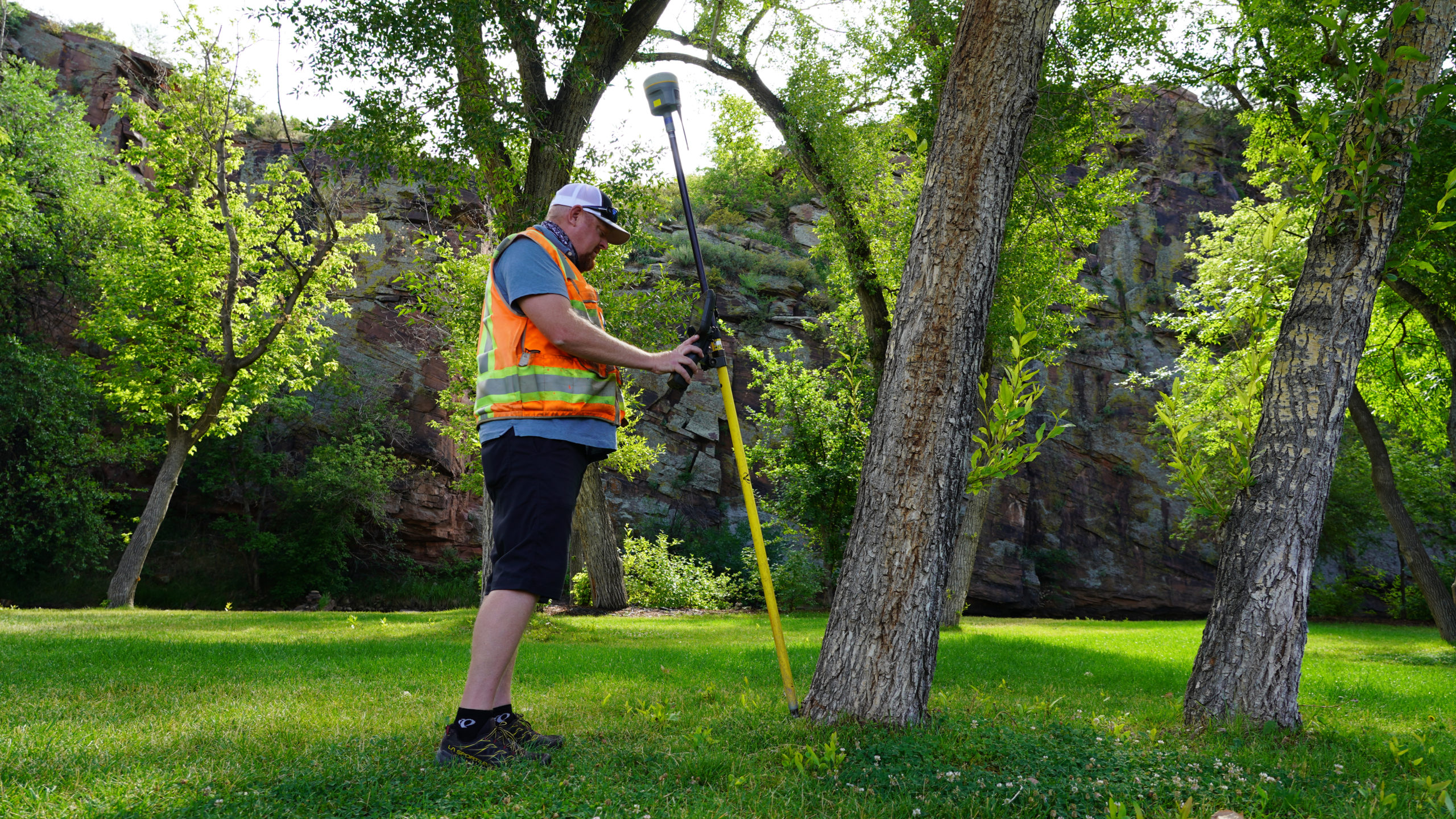
Discover how land surveying works, why surveys are needed, what surveyors check and what land surveyors use to complete a survey.
Discover what equipment a land surveyor uses. From Theodolites and Total Stations to drones and 3D laser scanners.
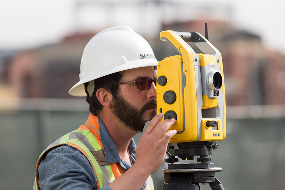
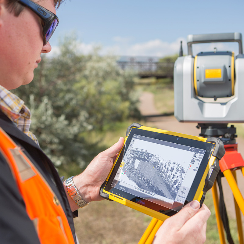
Discover our step-by-step on how to use a total station for setting out. From getting started, to control points, data capture and more.
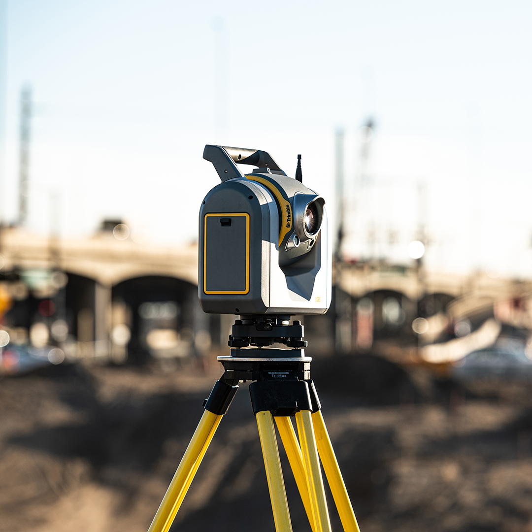
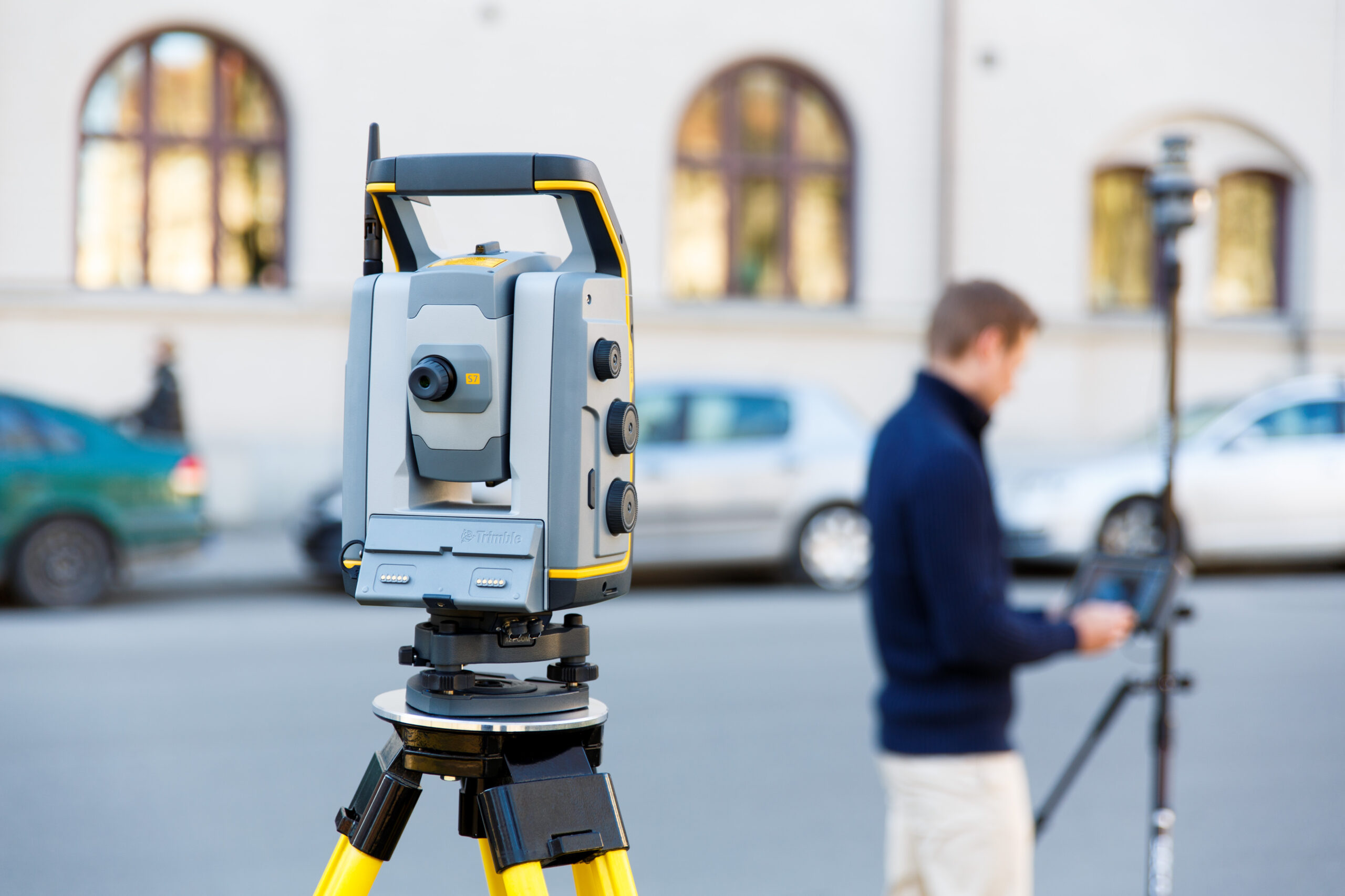
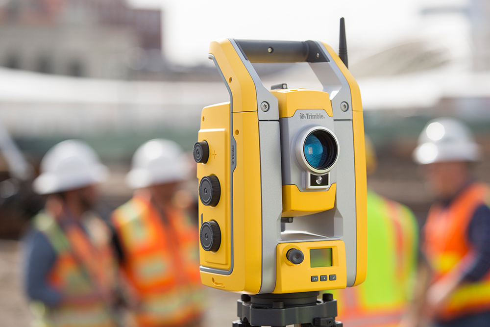
Discover the key components and functions of a Total Station, plus their applications. Learn more about robotic total stations, imaging and scanning capabilities and virtual tours.
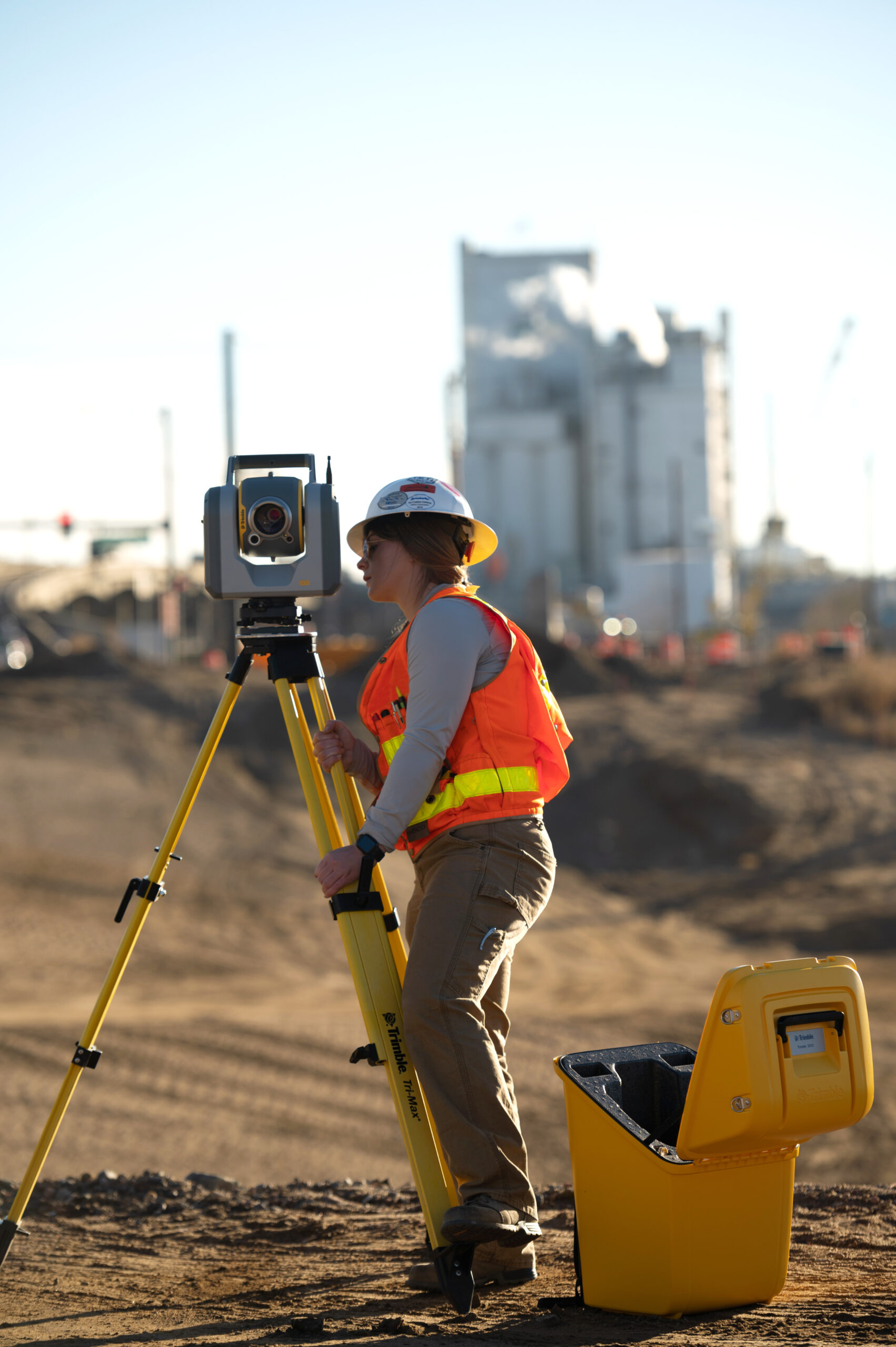
Discover the benefits of total station for setting out. Learn how the total station enhance the accuracy and efficiency of setting out tasks.
We compare Totals Stations with GNSS systems and Laser Scanning including use cases, costs and more, giving you what you need to know.
Discover the key differences when choosing between a Leica and a Trimble Total Station.

Discover the differences, benefits and applications of GNSS vs GPS technology and equipment. Learn which one is the best for you.
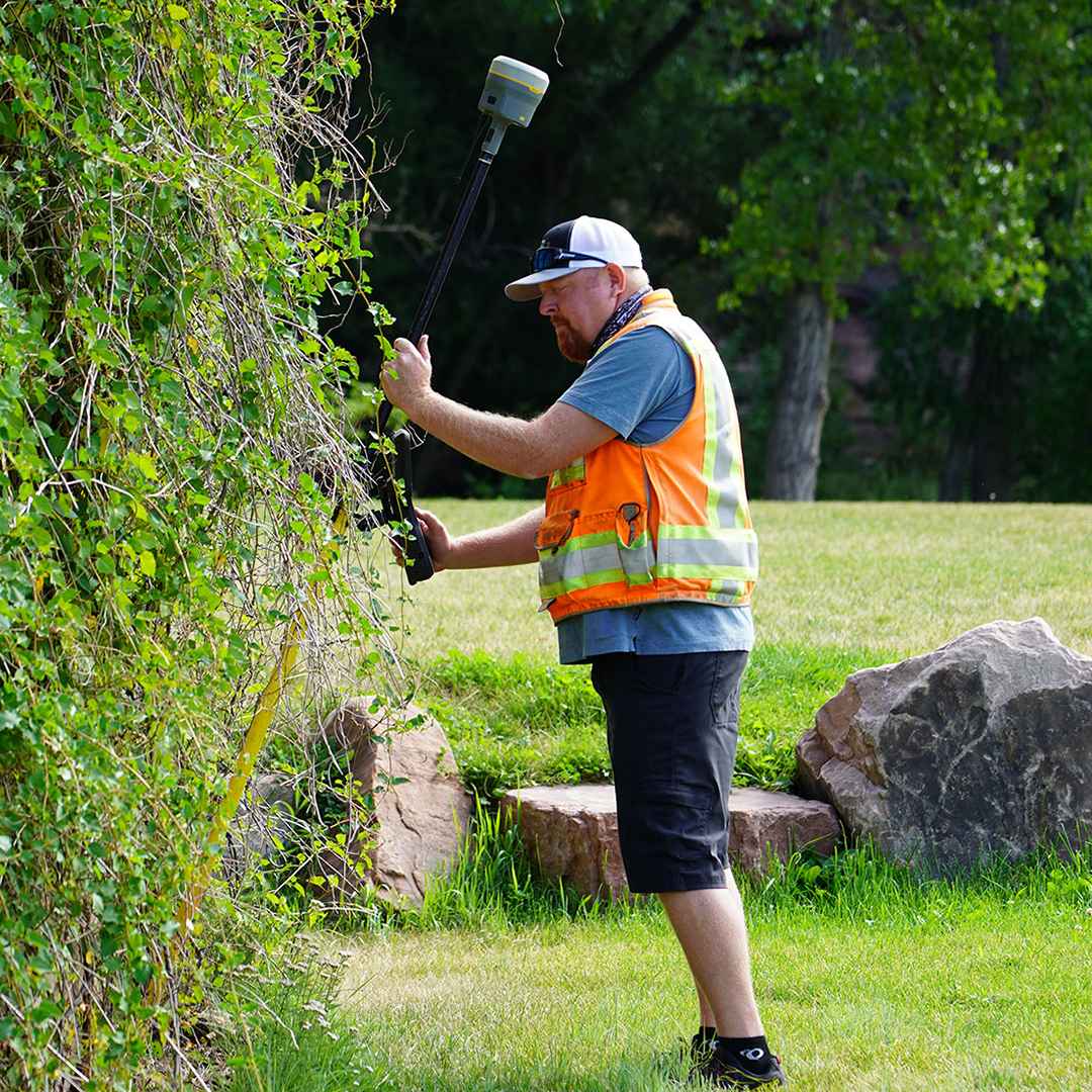
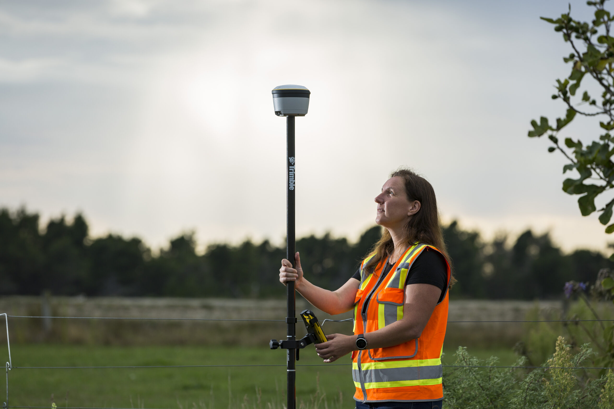
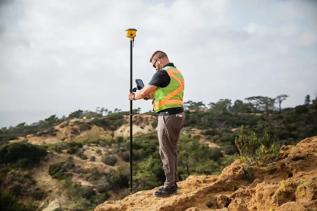
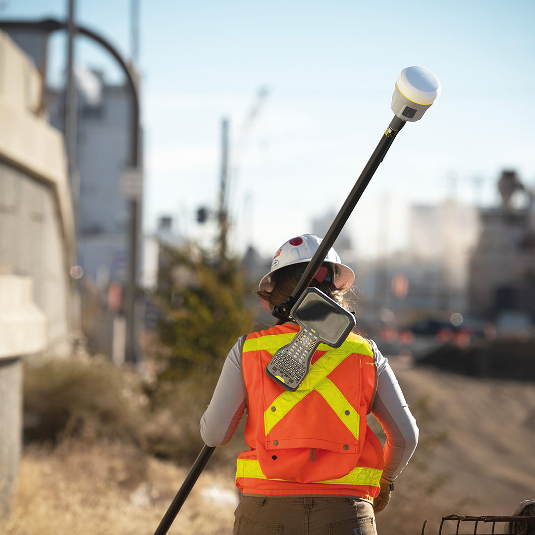
Discover how GNSS is used in land surveying and mapping. Explore the equipment, data collection and processing.
Discover the key considerations to help you make an informed decision and ensure that you choose the right Trimble GNSS receiver.
We explain how GPS/GNSS technologies work and how the increased accuracy and efficiency benefits the construction setting out process.
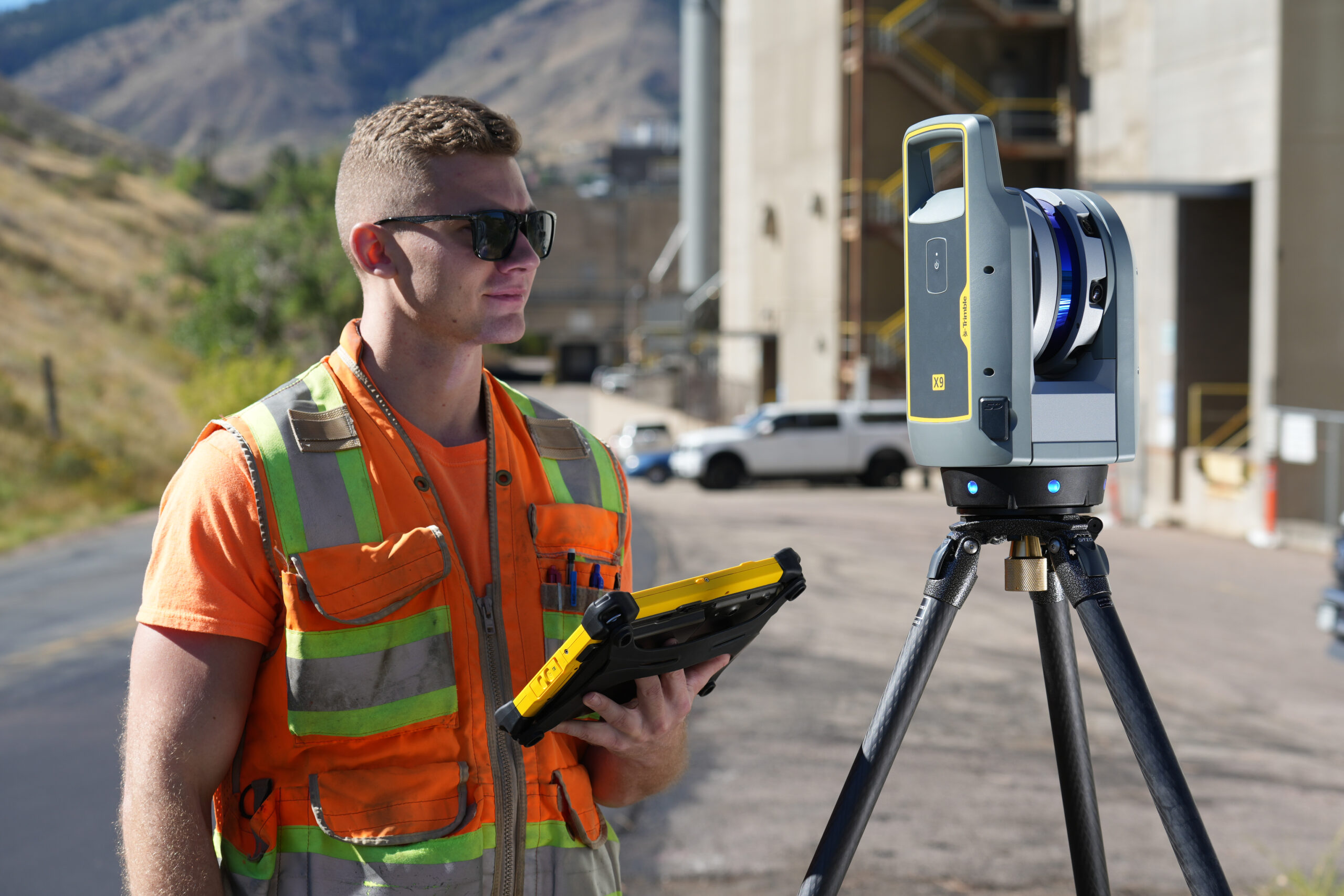
Discover what laser scanning is used for and what applications is has across different industries such as construction.
Discover the key applications and difference between laser scanning and LiDAR. Learn which technology will suit your project.
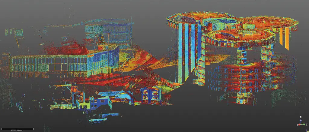
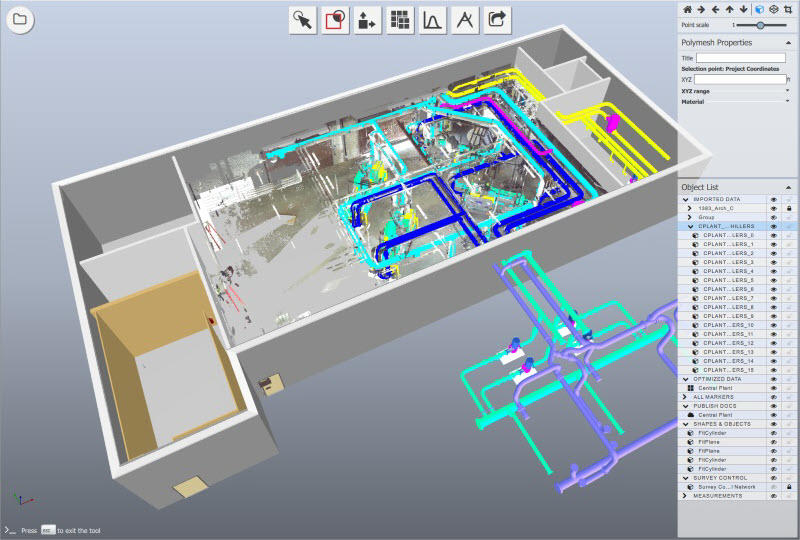
Discover what is a Point Cloud, how they are created, what equipment can used to create them and how they are used in the real world.

Here we dig deeper into why, what for, and the equipment used for measured building surveys.

Learn about drone surveying. Discover the accuracy a drone can achieve, why they are used and the applications that a drone can be used for.
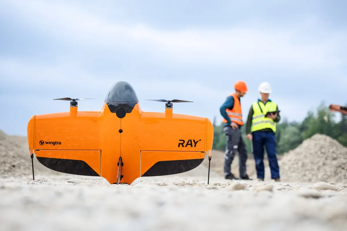
Discover the common challenges and how to overcome them when adding UAV survey and mapping drone technology to your business.