What is laser scanning used for?
In the surveying industry, where precision and efficiency are paramount, laser scanning has become a transformative and indispensable technology.




In the surveying industry, where precision and efficiency are paramount, laser scanning has become a transformative and indispensable technology.
Offering an exceptional level of accuracy and speed, laser scanners have transformed the way surveyors gather and process spatial data. As more companies recognise the benefits of this technology, its adoption is becoming increasingly widespread across various industries. Laser scanning’s ability to generate detailed 3D models quickly and accurately has made it an essential tool for projects that demand high precision.
This guide is the first in a series covering laser scanning technology and its applications. If you’d like to learn more about laser scanning you can view our guides on Laser Scanning vs LiDAR, What is a Point Cloud?, How 3D Survey Scanners Transform Infrastructure Projects, Laser Scanner Accuracy: What You Need to Know, Common Laser Scanning Survey Mistakes and How to Avoid Them and How to Choose 3D Laser Scanners for Your Business.
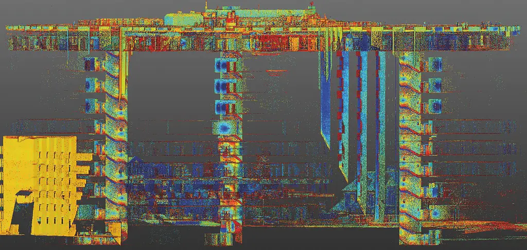
Laser scanning is a method of capturing detailed and accurate 3D representations of physical spaces and objects. By emitting laser beams and measuring the time it takes for them to bounce back after hitting a surface, laser scanners can determine the exact distance to that surface, creating a ‘point cloud’ of data that represents the scanned environment in three dimensions. Learn more about point clouds in our guide, What is a Point Cloud?
As briefly mentioned above, laser scanners work by emitting a laser beam that travels through the air until it strikes an object or surface. Upon impact, the beam bounces back to the scanner, which measures the time it took for the beam to return. This time measurement is then used to calculate the distance between the surface and the scanner.
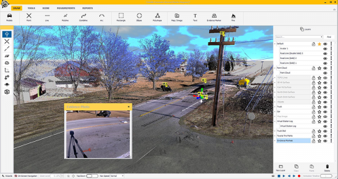
The scanner carries out this process millions of times every second, capturing multiple different points on a surface. These points are recorded as X, Y and Z coordinates. Together, they form a dense collection of points known as a point cloud. This point cloud is then processed, using software, to create a highly accurate 3D model of the scanned area or object.
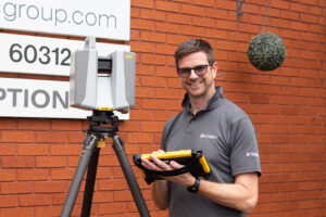
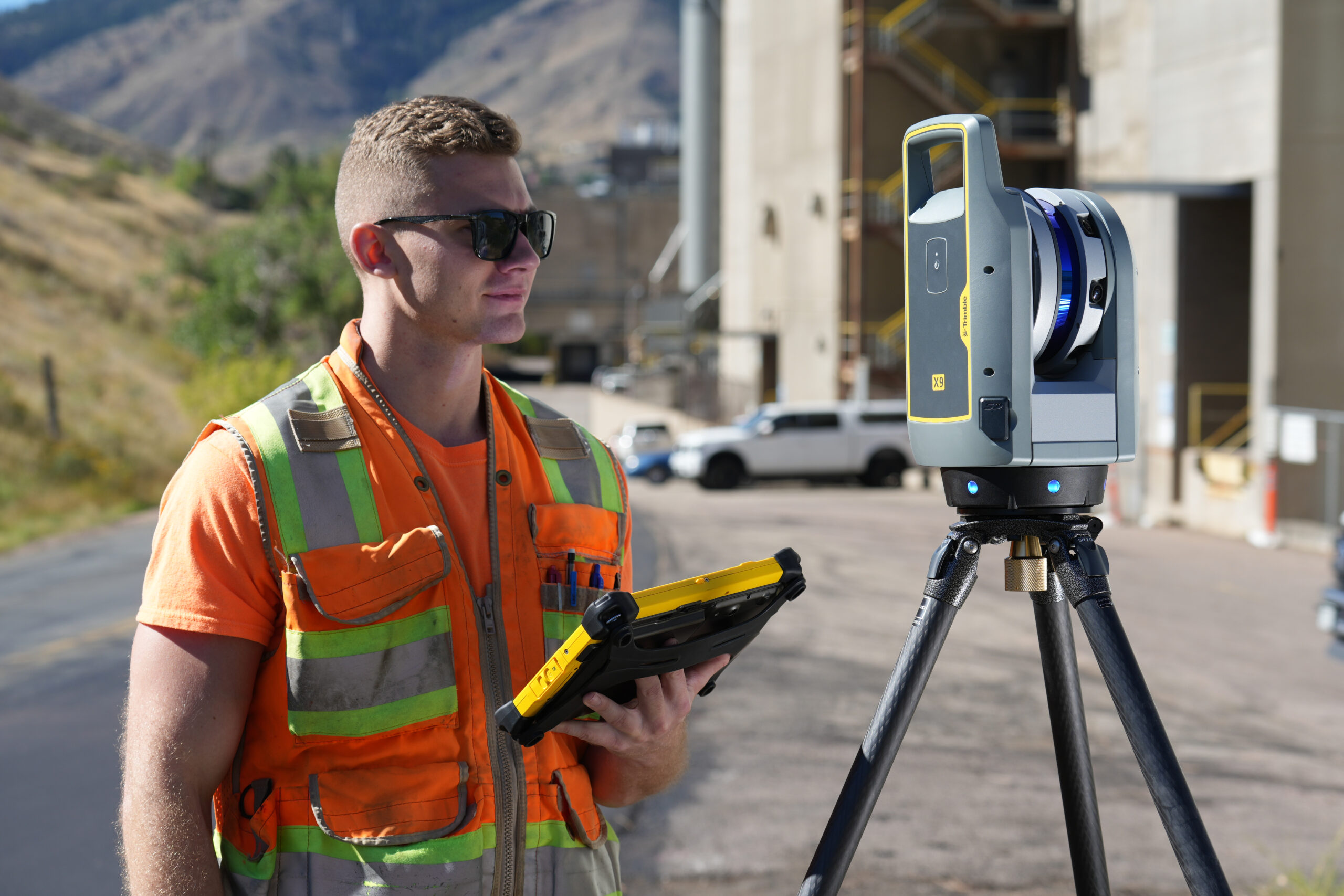
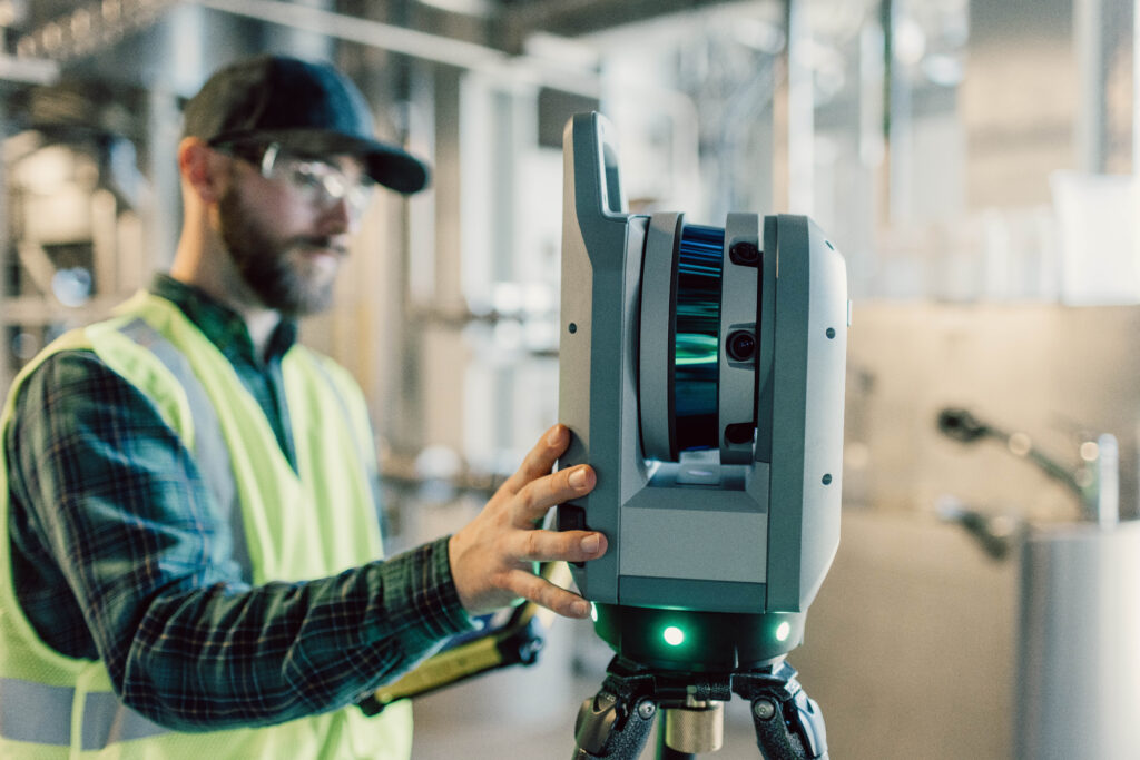
A laser scanner is a device that performs the laser scanning process. These scanners vary in size and ability, ranging from handheld devices used for small projects to large, tripod-mounted scanners capable of capturing entire building sites or landscapes. Types of laser scanners include terrestrial, mobile and aerial scanners. Each of these are intended for different kinds of projects.
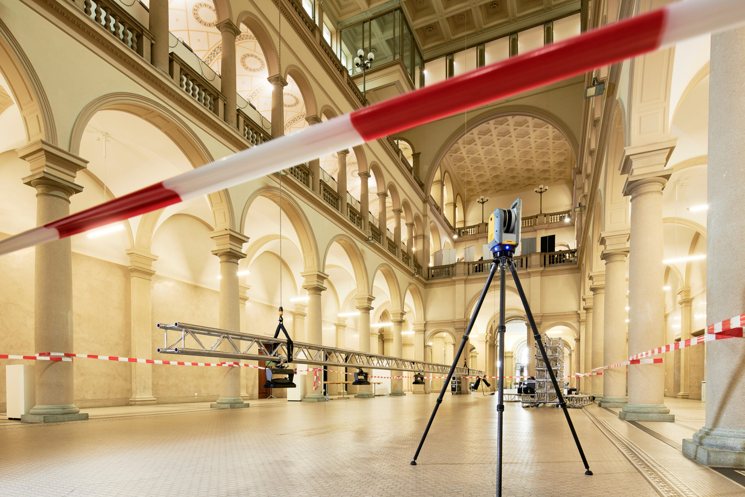
Terrestrial laser scanners are often used in land surveying and construction. These devices are usually mounted on tripods and can rotate 360 degrees, capturing a full view of its surroundings. Mobile laser scanners are placed on vehicles or drones and are used for scanning large areas or remote locations. Aerial laser scanners, often referred to as LiDAR (Light Detection and Ranging) systems, are principally used in mapping.
Laser scanning offers numerous advantages that make it a valuable tool across industries. Chief among them is its speed and accuracy, which help ensure a project goes smoothly.
Laser scanning is considered important due to its ability to provide highly accurate and detailed data, both speedily and efficiently. More traditional surveying methods, by contrast, can be time-consuming and involve far more work to set up and use. With laser scanning, surveyors can capture large quantities of data in a fraction of the time, reducing the need for manual measurement taking and minimising the risk of human error.
Laser scanning also benefits from being non-invasive, meaning it does not physically alter or harm the scanned object or area. This is crucial in archaeology and historic preservation, where maintaining a site’s integrity is of the utmost importance.
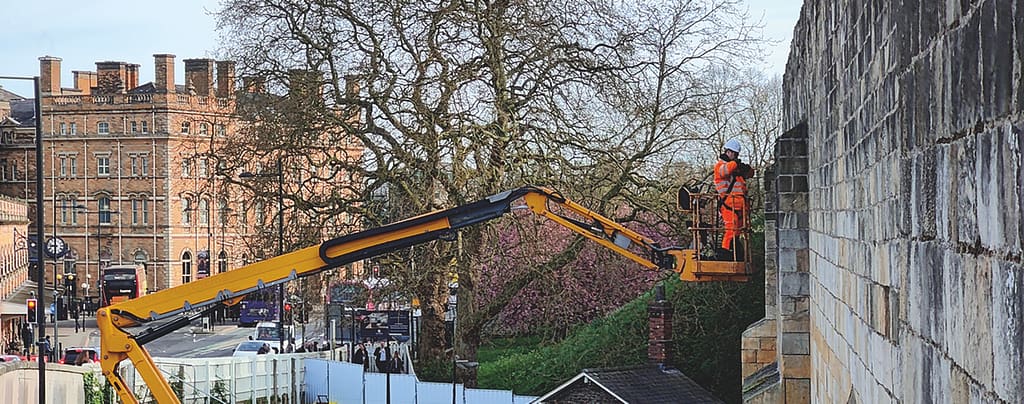
Another key advantage of laser scanning is its ability to capture data from difficult or dangerous environments. For example, laser scanners can be used to survey hazardous construction sites or areas that are otherwise inaccessible, ensuring that accurate data is collected without putting workers’ health and safety at risk.
Laser scanning is immensely versatile, making it applicable to a wide range of industries and uses. From construction and engineering to environmental preservation, laser scanning has become an indispensable tool for professionals whose work requires precise spatial data.
One of the most significant applications of laser scanning is in construction and measured building surveys. Laser scanners are used to create detailed 3D models of construction sites, buildings and infrastructure. These models can be used for a variety of purposes, including site planning, design and project management. The accuracy of laser scanning ensures that all measurements are precise, reducing the risk of mistakes being made during construction.
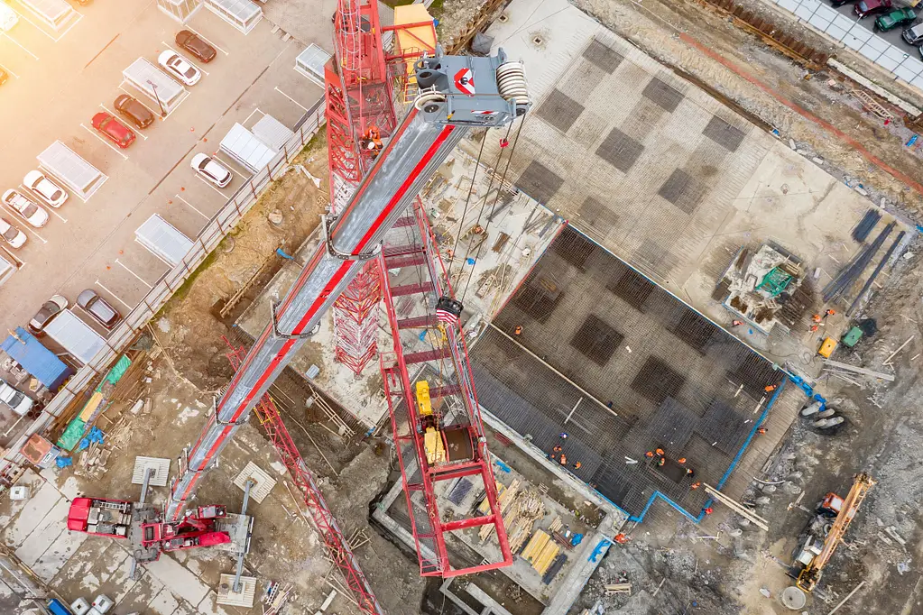
In building renovations, laser scanning is used to capture the existing conditions of a structure, providing architects and engineers with accurate data to guide their designs. This is particularly valuable when working with older buildings that may have considerable damage or deterioration that needs repairing. By creating a precise 3D model of the building, professionals can plan renovations fully informed and know precisely how their designs will fit the existing structure.
Laser scanning is also used in crime scene mapping, where it provides police officers with detailed and accurate records of the scene. This data can be used to create 3D reconstructions of the crime scene, which can be studied to interpret the events that took place.
In archaeology, laser scanning is used to document and preserve historical sites and artifacts. The detailed 3D models created by laser scanners allow archaeologists to study sites and objects in detail, even after they have been excavated or moved. This technology also enables the creation of digital archives, ensuring that cultural heritage is preserved.
Engineering and industrial applications also benefit from laser scanning. In these fields, laser scanners are used to create accurate models of machinery, equipment and industrial facilities.
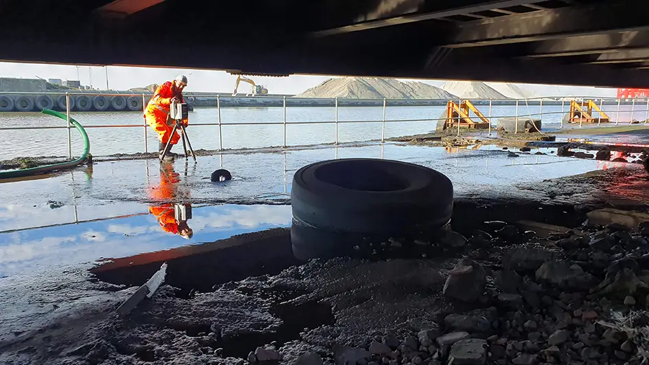
In construction , laser scanning is used to create detailed 3D models of buildings and other infrastructure, such as bridges. These models provide an accurate representation of the site, which can be used for planning, design and project management. The accuracy of laser scanning ensures that all measurements are precise, thereby reducing the risk of errors which can delay project completion and cause budget issues.
Laser scanning can also be used in building refurbishment. By capturing the existing conditions of a structure, laser scanning provides architects and engineers with data to inform their designs and renovations.
A great advantage of laser scanning is its ability to integrate seamlessly with existing workflows and equipment. The data collected by laser scanners can be easily imported into software programmes, including CAD (Computer-Aided Design) and BIM (Building Information Modelling) software.
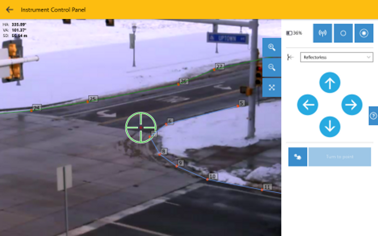
This integration allows experts to use laser scanning data alongside other surveying equipment and tools, such as GPS and total stations. As a result, surveyors are able to create highly accurate and detailed maps and models.
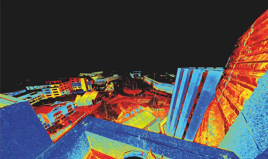
Laser scanning is a method of capturing detailed and accurate 3D representations of physical spaces and objects. It works by emitting laser beams and measuring the time taken for them to bounce back after hitting a surface, creating a point cloud of data that represents the scanned environment in three dimensions.
There are three main types: terrestrial, mobile, and aerial. Terrestrial scanners are usually tripod-mounted and rotate 360 degrees, commonly used in land surveying and construction. Mobile scanners are mounted on vehicles or drones for scanning large areas or remote locations. Aerial scanners, often referred to as LiDAR systems, are principally used in mapping.
Equipment ranges from tripod-mounted terrestrial scanners to scanning total stations that combine scanning with survey-grade coordinate measurement. Accuracy requirements vary by application, from around 3 to 10 mm for measured building surveys down to 1 to 2 mm for capturing fine detail in heritage recording, with published specifications representing best-case performance under controlled conditions.
Laser scanning captures large quantities of data far faster than traditional methods, reducing manual measurement and the risk of human error. It’s also non-invasive, meaning it doesn’t physically alter the scanned object or area, and it can capture data from hazardous or otherwise inaccessible environments without putting workers at risk.
Laser scanning is used across construction and measured building surveys, building renovations, crime scene mapping, archaeology and historic preservation, and engineering and industrial applications such as modelling machinery and facilities.
Yes. Laser scanning captures the existing conditions of a structure, giving architects and engineers accurate data to guide renovation designs. This is particularly valuable for older buildings with damage or deterioration, as it allows professionals to plan fully informed and know precisely how new designs will fit the existing structure.
Yes. Data collected by laser scanners can be imported directly into CAD and BIM software, and combined with data from other surveying equipment such as GPS and total stations, enabling surveyors to create highly accurate and detailed maps and models.
Laser scanning has transformed the surveying industry. Today, professionals have the distinct advantage of accessing this powerful tool, capable of capturing accurate and detailed spatial data to a far higher degree than traditional methods. The applications of this technology are numerous, from construction and engineering to archaeology and historic preservation. By integrating laser scanning into their workflows, surveyors, engineers and architects can improve the accuracy and efficiency of their work, resulting in more cost and time-efficient project completion.
KOREC can advise you on the right laser scanning equipment for your business. Speak to our friendly experts today to get the right technology to solve your project challenges.