Total stations have fast become an integral part of the building construction process, particularly in setting out. Enhancing efficiency, safety and accuracy, there are many benefits to using a total station for your construction project.
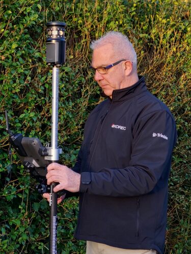
Leigh is KOREC's topographic surveys expert, using specialist equipment and skills to accurately capture a site's natural and man-made features for CAD-based drawings. He's also a regular a regular contributor on topographical surveys and GNSS to industry forums.
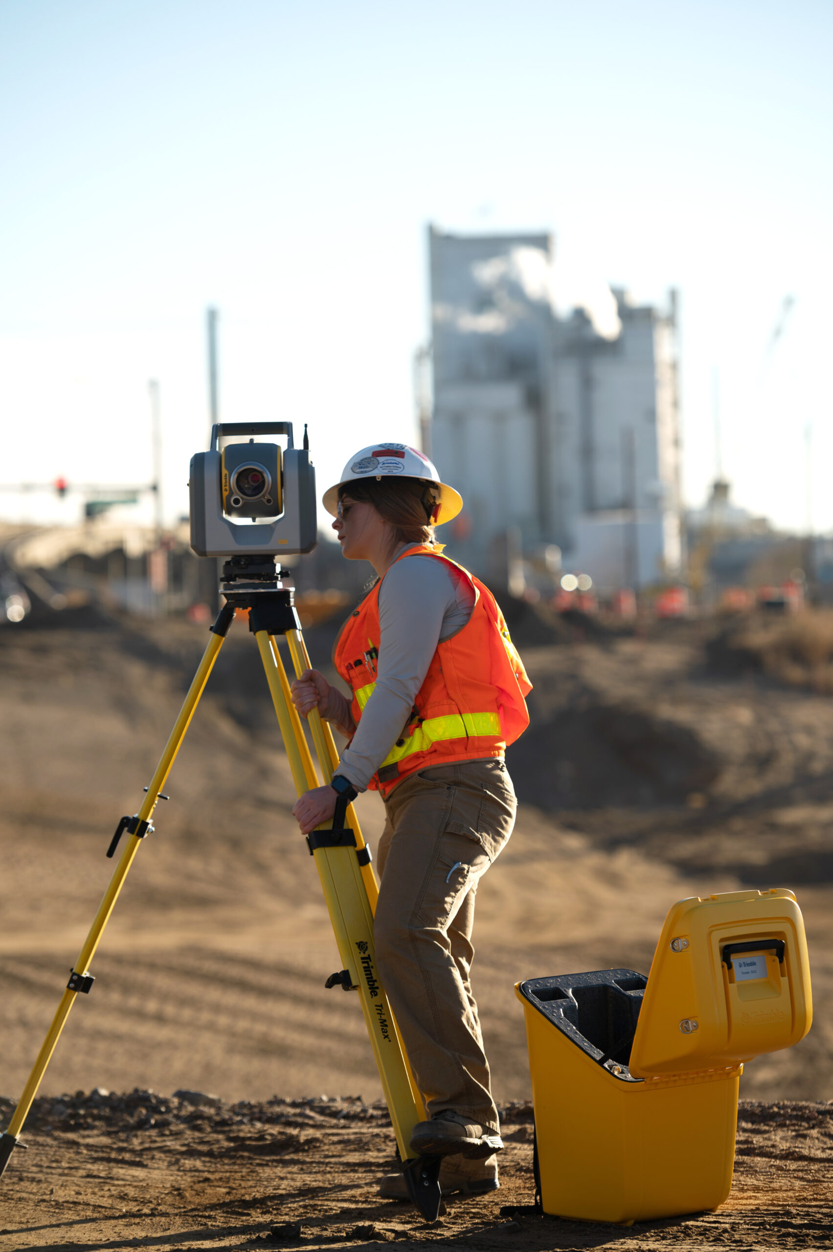
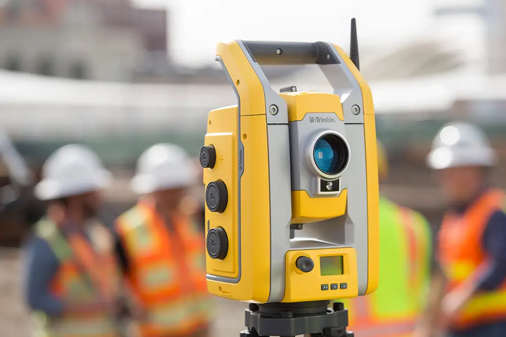
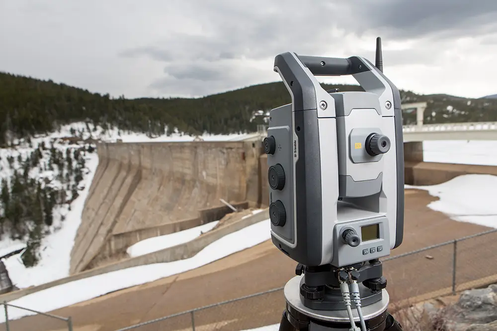
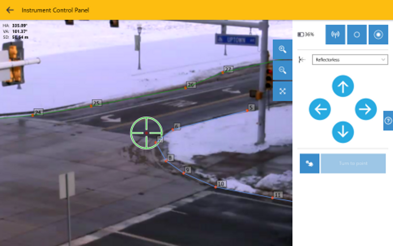
A total station is a piece of surveying equipment that contains an electromagnetic distance measuring instrument (EDM) and an optical system, known as a theodolite. Those are the key components of a total station, but it also comes with a built-in microprocessor for displaying readings and storing data. Some models are also equipped with a high resolution camera for imaging purposes.
The total station is used to measure horizontal and vertical angles as well as distances between objects and it’s become an integral part of modern construction setting out projects. For an introduction to total stations, read our guide: Understanding Total Stations.
But, what is construction setting out?
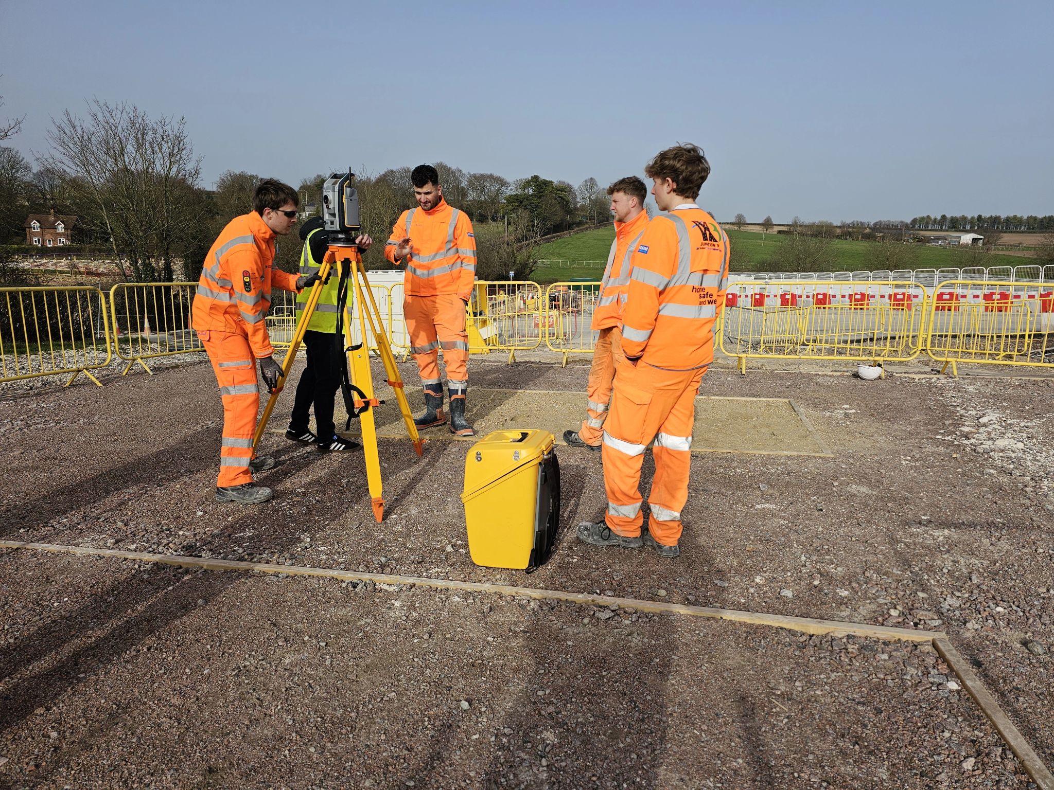
Setting out (also known as “staking out” or “laying out” depending on where you’re from) is the surveying practice of placing a building design onto the land itself, ensuring that the building or structure is positioned in precisely the correct point on the earth. It also allows workers to fully visualise a project and follow the framework during construction.
Total stations are vital at this stage of the building process as they can provide important data relating to angles and measurements of the environment as it sits, as well as pick up any movement in the land or surrounding structures. To discover the benefits of using a total station for setting out, read our guide.
In this article, we’ll explore the various advantages of using a total station during the setting out process.
Highly Accurate Measurements for Setting Out Tasks
The first and perhaps most important benefit of a total station in setting out tasks, is that it provides highly accurate measurements.
How does using a total station enhance the accuracy of setting out tasks?
When it comes to angle measurement accuracy, modern total stations use a state-of-the-art precision measurement system with its key technological components, theodolite and EDM, at its heart. This allows for pinpoint accurate horizontal and vertical angle measurements – which is vital to the success and safety of a construction project.
Likewise, for distance measurements, the total station uses a small emitter located in its optics. This emitter generates an infrared carrier signal which is reflected either by the prism (using what’s known as “the prism method”) or the item being surveyed (in the “reflectorless method”).
The total station is then able to read and decipher the signal, in turn displaying the distance. The accuracy of a total station for measuring distances is usually between 5-10mm per km, with the range varying between 2.8-4.2km.
Total stations can also be used to compute coordinates based on the angles and distances it measures. Thanks to the display panel, total stations can also show surveyors measurements in real-time, which means they can be quickly checked and amended if needed.
How does a total station contribute to improved efficiency on construction sites?
Combined accurate angular and distance measurements from a total station provides the level of precision and reliability needed for setting out tasks, which helps reduce the need for rework.
The total station’s ability to collect and store data also helps to ensure an efficient workflow process, as there’s less room for error and every step of the process is documented automatically.
That accuracy is of the utmost importance in construction and surveying, as it forms the foundation of a project’s safety and quality. The next level accuracy and precision achieved using a total station is therefore one of its chief advantages, with the potential to remove errors, delays and even safety breaches.
Improved Efficiency and Productivity
Total stations have revolutionised the laying out process by promptly measuring accurate angles and distances.
When used as part of an integrated surveying solution, they can immediately calculate coordinates and provide real-time data to ensure the structure is set out in exactly the right location and position on the ground in the fastest and most efficient way possible – which can be communicated from field-to-office at the touch of a button.
Thanks to their ability to integrate with other surveying hardware, software and digital workflows such as Trimble Business Center, total stations allow for full visualisation capabilities prior to and during construction.
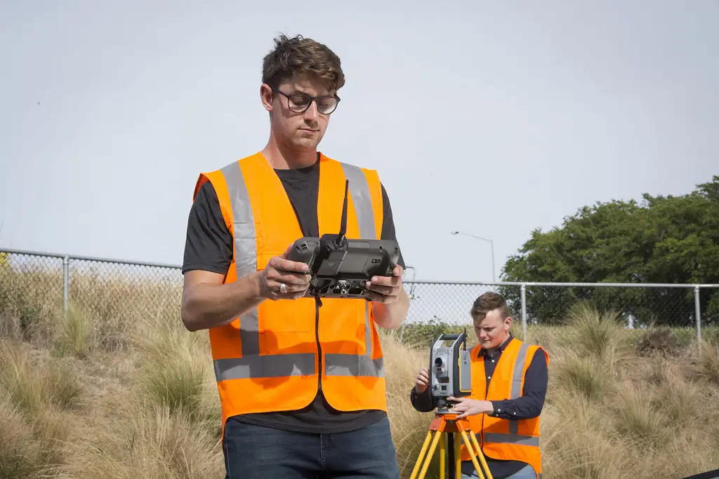
Using a total station removes the need for manual measurement due to its laser-optical technology. As such, only one person is needed to conduct the measuring process, increasing efficiency, reducing downtime and speeding up the task significantly.
Overall, total stations optimise surveying operations, often eliminating the need for rework, saving time and expediting project progress while enhancing the quality of the work done from field to finish.
Versatile Applications of Total Stations in Setting Out
Total stations are versatile surveying tools and are useful for performing an array of tasks while setting out.
Because they use laser precision technology to measure, they can accurately determine spatial data as well as distances between objects, which in turn can be used to calculate elevation and alignments for a number of different data points required in the setting out process.
As a result, total stations can be used across a wide range of applications that may be atypical of a standard construction project – from land surveying and civil engineering to archaeological mapping:
In construction, primarily they help architects and workers to plot the layout at every level of a build – from the building’s foundations to the door openings, internal walls, pipework and beyond on each floor.
In land surveying, a total station can be used to determine boundaries as well as create topographic maps, they can also measure any movement of the land or surrounding structures.
In civil engineering, total stations are a useful tool for designing roads, plotting the layout of infrastructure and grading sites – which may be required for larger developments.
In archaeological mapping, a total station can help determine any areas of significant historical interest, how to integrate such a space into the setting out of a project and how much one can impact the other. They can also help with the reconstruction of historical sites
Ultimately, due to the technology’s ability to accurately and quickly determine angle and distance measurements, total stations allow for efficient data collection across a wide range of BIM and surveying applications.
Seamless Data Integration in Digital Workflows
The total stations of today are able to seamlessly integrate with digital workflows and software.
Total stations can also be connected wirelessly, allowing for instant and real-time exchange of data. This enhanced collaboration across fields and disciplines is fully traceable and can minimise errors and clashes during setting out.
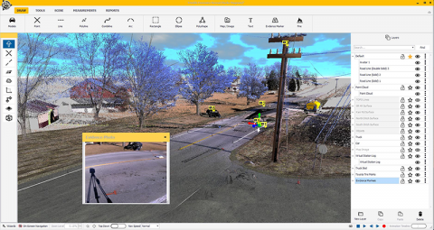
Certain programmes can also translate the total station data into 2D and 3D models, creating sophisticated visualisations and renders, which can then be used to present a construction project to different teams, stakeholders and potential clients.
Enhanced Safety and Risk Reduction
Another significant benefit of using a total station is its ability to improve construction site safety by eliminating the need for manual measurements.
Designed for more challenging projects, robotic tool stations such as the Trimble S9 can measure and set out points remotely so personnel are not required to enter hazardous areas where their safety could be compromised. Instead, they can operate total stations from safe locations.
Additionally, the enhanced accuracy of total station measurements vs manual ones means structures and foundations are placed correctly, again limiting errors that could lead to dangerous construction incidents.
Real-time data visualisation can also minimise risks by identifying potential issues early enough that can be addressed before they cause problems. Greater precision in a project’s layout also decreases the likelihood of rework being necessary – again driving down opportunities for safety issues.
Comprehensive Documentation and Record Keeping
We often get asked how a total station can help generate comprehensive documentation and records.
And our answer is usually that total stations play a vital role in assembling documentation by providing one single source of truth for measurements and data when integrated into digital workflows.
Able to record angles, distances and plot coordinates, the data total stations provide is essential for creating detailed records as any real-time changes and updates are visible to everyone that needs to be involved in the setting out process, meaning no-one is ever “out of the loop”. Something that proved much more difficult when taking measurements manually.
Total stations that contain high-resolution cameras, such as the Trimble SX12 which has a Trimble VISION™ camera system, are also able to add visual context to documents.
This ability to generate detailed reports, drawings and as-built records with precise measurements that are present and correct throughout the whole construction process, means it’s easy to keep accurate records, with a firm grip on who’s doing what and when.
This transparency is essential when it comes to future reference, maintenance or legal purposes, too. For instance, local councils will need to see certain documentation on completion of a build, as well as buyers and sellers of property.
Long-Term Cost Savings and ROI
Many also wonder if there are any cost savings associated with using a total station for setting out tasks. In fact, one significant advantage of using a total station for setting out is the substantial long-term cost savings.
It goes without saying that increased accuracy and efficiency has a knock on effect when it comes to cost savings and ultimately, return on investment.
The biggest gains come with the reduction of waste materials and the unlikelihood of the project requiring rework, as well as actual labour costs – especially as only one operator is needed to carry out measurements using the total station.
Having an accurate digitised layout also ensures that the setting out process aligns with the design and vice versa, preventing the need for costly alterations.
Beyond accuracy, the total station’s ability to integrate with digital workflows means there’s far less need for manual data entry with more opportunities for collaboration and transparency throughout the surveying and construction process.
While total stations require some initial investment, they ultimately result in a reduction in expenses and costs as they help limit modifications, delays and downtime.
Frequently Asked Questions
What is construction setting out?
Setting out, also known as staking out or laying out, is the surveying practice of placing a building design onto the land itself, ensuring the structure is positioned at precisely the correct point on the earth. It also allows workers to visualise a project and follow the framework during construction.
What industries use total stations beyond construction?
Total stations are also used in land surveying to determine boundaries and create topographic maps, in civil engineering for designing roads and grading sites, and in archaeological mapping to identify areas of historical interest and assist with the reconstruction of historical sites.
How do total stations improve safety on construction sites?
Robotic total stations, such as the Trimble S9, can measure and set out points remotely, meaning personnel don’t need to enter hazardous areas and can operate the equipment from safe locations. The enhanced accuracy of measurements also reduces errors that could otherwise lead to dangerous construction incidents.
What data formats do total stations use to integrate with CAD and BIM software?
Total stations typically exchange data in formats such as DXF or CSV, allowing it to be used across CAD and BIM platforms. They can also connect wirelessly for instant, real-time data exchange between the field and office.
Do total stations offer long-term cost savings?
Yes. Although total stations require some initial investment, they typically result in long-term cost savings by reducing wasted materials, minimising the likelihood of rework, and lowering labour costs since only one operator is needed to carry out measurements.
Optimising Setting Out Tasks with a Total Station
A total station can make a huge difference to the efficiency, quality and overall cost of the setting out and construction process. From its enhanced accuracy and laser precision, to the improvements it offers regarding health and safety, total station technology can take project management to the next level.
Let us help you choose the right Trimble Total Station
KOREC can advise you on the right total station for your project. Speak to our friendly experts today to get the right technology to solve your business challenges.
Latest Advancements in GNSS Receiver Technology: Inside the Trimble ST30
An in-depth look at the Trimble ST30 smart target, covering how it brings tilt compensation to total station measurements for the first time, alongside automatic rod height, industry-leading optical tracking...
How 3D Laser Scanners Are Used at Crime and Collision Scenes
Find out how 3D laser scanners capture complete crime and collision scenes in minutes, why speed matters for scene clearance, and how point cloud data supports evidence analysis and court...
What Equipment Is Used in Forensic Scene Documentation?
Discover the geospatial equipment used at crime and collision scenes, from 3D laser scanners and total stations through to GNSS, and how each tool contributes to accurate, court-ready documentation.