What is a land survey?
Take a look at the different types of land surveys and why you might need one, as well as the role of a surveyor and the costs involved.




Take a look at the different types of land surveys and why you might need one, as well as the role of a surveyor and the costs involved.
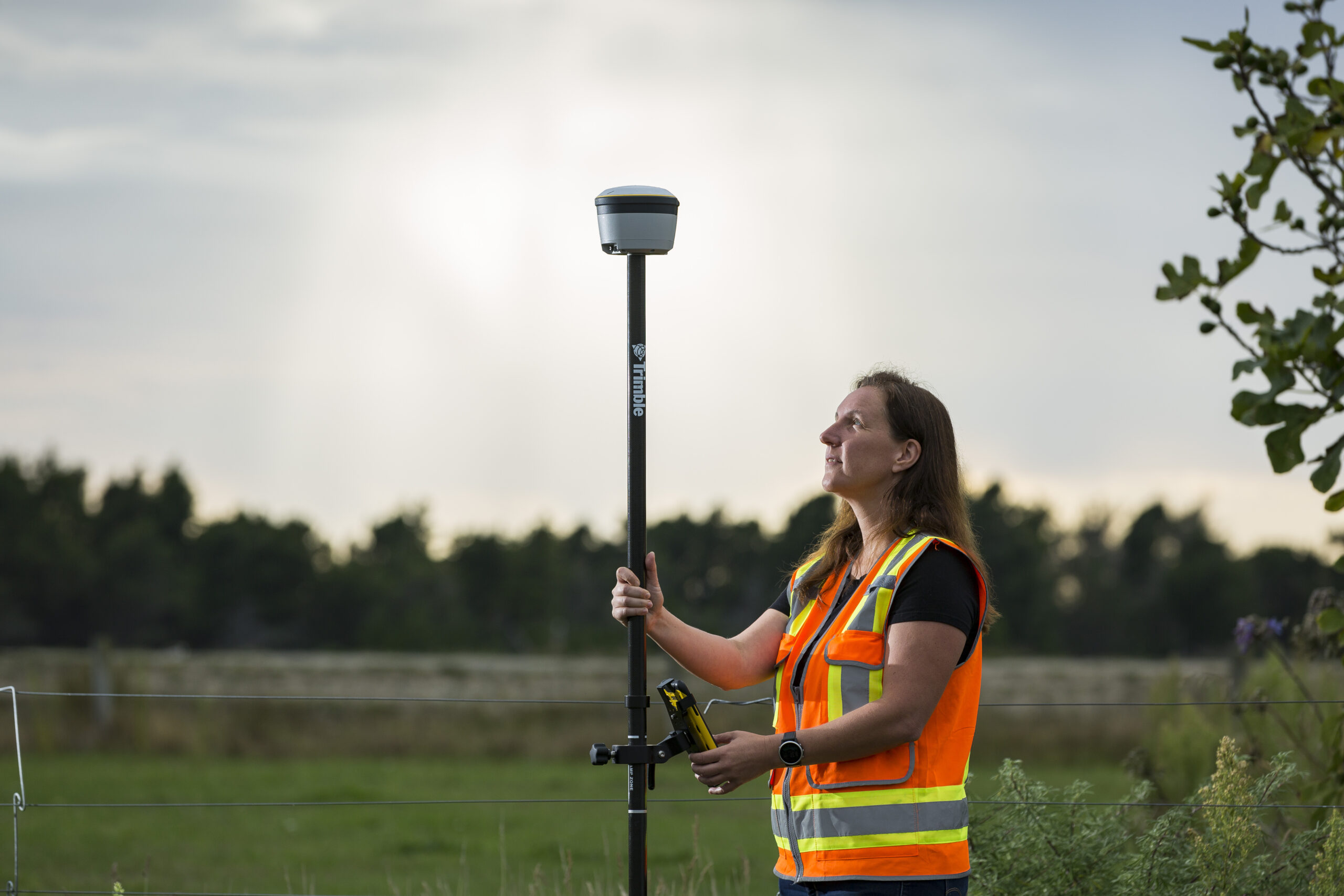
Carried out by licensed professionals known as chartered surveyors, land surveys involve the measuring and mapping of a plot of land to determine its boundaries, size, and characteristics.
Surveyors use specialist land survey equipment combined with time-honoured techniques to measure the land’s topography as well as any natural or man-made structures that are contained within it. Some surveys even measure the characteristics and composition of the soil beneath the land.
In this guide, we’ll take a look at the different types of land surveys and why you might need one, as well as the role of a surveyor and the costs involved.
This guide is the first in a series exploring land surveying. If you’d like to learn more, take a look at our guides on How Does Land Surveying Work?, What Equipment Does a Land Surveyor Use?, Choosing Survey Equipment for Challenging Terrain, How to Choose Land Surveying Equipment for Your Business, and Best Ground Survey Equipment for Topographic Surveys.
What a surveyor will include depends on the nature of the land survey to be carried out. There are several distinct types of land survey designed to appeal to different clients and use cases.
Boundary surveys are conducted to determine a property’s precise boundaries. A boundary survey will often start with the surveyor researching the property’s historical records and legal descriptions in order to establish the location of the property boundary lines.
The surveyor then physically surveys the property.
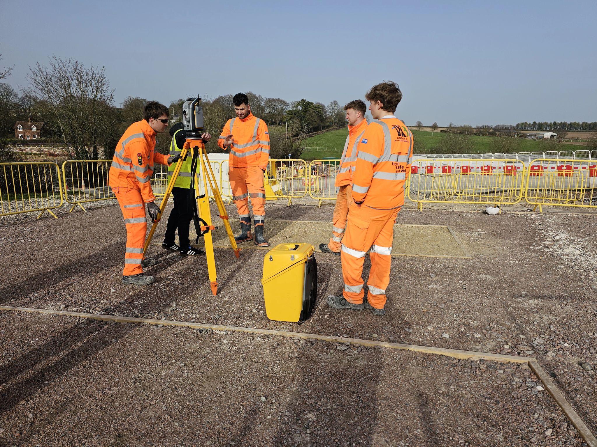
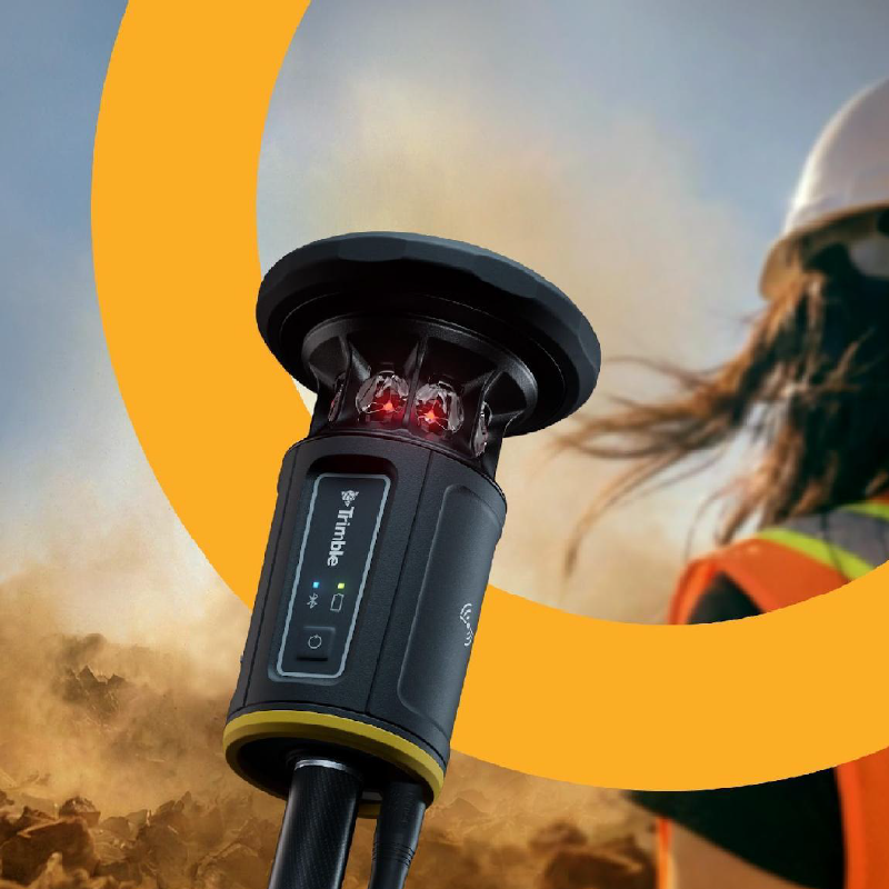
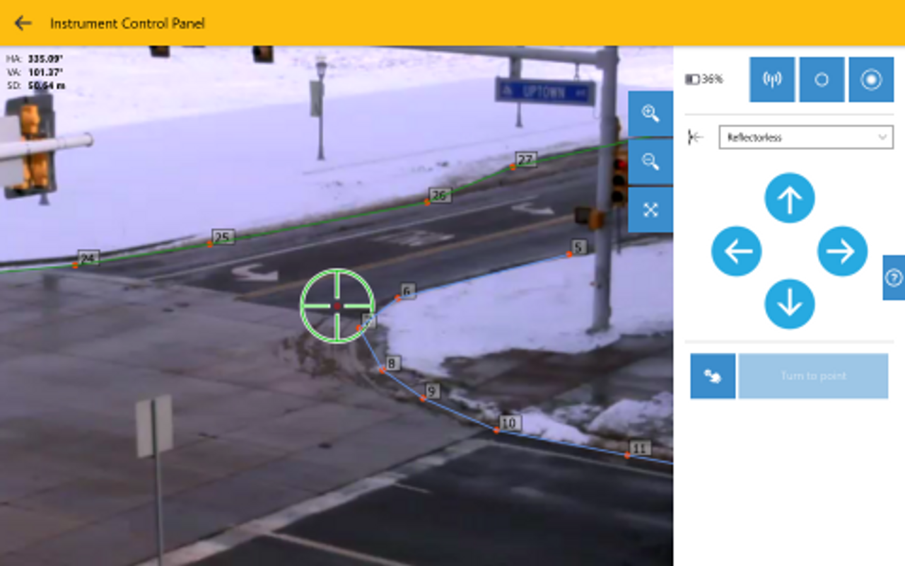
They will typically use a total station theodolite, digital level and mapping techniques such as global navigation satellite systems (GNSS) to gather precise measurements of the boundaries and any physical features that may impinge upon them, such as fences, buildings, and natural landmarks like rocks, trees and hills.
The information gathered during a boundary survey is used to create a detailed map or plan of the property lines, which can be used for a variety of purposes.
These typically include obtaining planning permissions, settling boundary disputes and ensuring that any construction is compliant with local land use regulations.
Detailed surveys are similar to boundary surveys but go into much more granular detail.
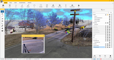
While the main deliverable for a boundary survey is a two-dimensional map, a detailed survey might include highly detailed 3D images or digital models including details about topographical features, elevation levels, and soil composition.
Other deliverables may include video imagery such as drone footage.
A detailed survey may require the use of sophisticated imaging equipment such as 3D laser scanners as well as more conventional tools like a total station and digital level.
Geodetic surveys measure the size, dimensions, and characteristics of large areas of land. Surveyors may use laser mapping, GPS receivers, and total stations to determine the precise position of various control points, creating accurate maps for navigation and satellite positioning.
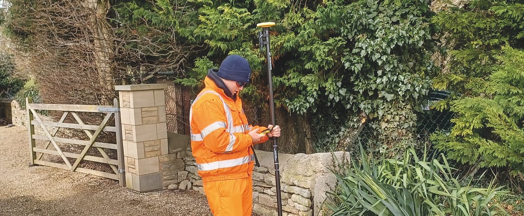
A topographic survey uses the equipment mentioned above to measure the relative positions and heights of all natural and artificial topographic features on the surveyed site.
Natural features may include trees, shrubbery and other vegetation, as well as artificial features.
Of course, this includes buildings, bridges, walls, fences and hedges. However, it also includes gardens, paths, ramps, roads, gullies, ditches and manholes.
Construction or engineering surveys include checks to make sure that a proposed site is viable for construction.
This is a process that goes back to the building of the pyramids, although the technology used to do it has grown more sophisticated. Nonetheless, the basic methodology remains the same.
The surveyor begins with a detailed topographic accounting of the area. Next, they stake out markers and reference points on the site that identify the parameters for the proposed construction.
This type of survey employs laser scanners, GNSS, total stations and digital levels, and the same process is used for roads, footpaths and other utilities as well as buildings. It is used not just for the construction of new structures but improvements and extensions to existing structures.
An as-built survey is often carried out at the end of a construction project to document the final location and elevation of all facets of the finished building.
A soil survey may be part of a construction or other detailed survey. Developers and individual property owners may undertake a soil sample before purchasing a plot of land to make sure that the land will support the foundations on which construction will commence.
As well as determining the quality of the soil, this type of survey highlights any potential anomalies in the ground conditions that could curtail the groundwork that is so essential to construction.
This survey involves the digging of small holes up to 3m in depth using an auger rig. Samples are then collected to determine the soil composition, particle sizes, pH levels and whether any contaminants are present.
As we can see, there is a wide range of land surveys. However, land surveying is generally needed under similar circumstances. Some of the most common reasons why a land survey is needed include:

A chartered surveyor may charge anywhere from £300 and £1,000 per day and a further £300+ to provide drawings. But this is a tricky question to answer accurately, as there is no fixed cost for a land survey. There are a number of factors that will determine a survey’s cost. These include:
Some may be tempted to save money by carrying out their own surveys. And while there are no laws prohibiting this, it is absolutely not recommended. Chartered surveyors are held to extremely high standards by the Royal Institute of Chartered Surveyors (RICS) and have extensive training combined with years of experience in the field.
Even a careful and methodical amateur may make mistakes with land surveying that could lead to embarrassment, friction and substantial expense later down the line – especially if an oversight leads to a boundary dispute or an encroachment on someone else’s land.
Instead of inviting an unnecessary degree of risk by attempting your own survey, it is best to manage costs by being as informed and communicative as possible with a professional land surveyor. Be as clear and specific as possible in terms of the purpose of the survey, the level of detail you need, and the proposed time frame.
A land surveyor is someone who carries out land surveys on behalf of clients. Their training will usually consist of a degree in surveying, civil engineering or geomatics as a minimum.
In order to become a registered surveyor, they will need to become a chartered surveyor through the Assessment of Professional Competence (APC) with the Royal Institute of Chartered Surveyors.
A licensed land surveyor may specialise in a particular type of land survey or offer a wide range of surveys for different clients and use cases.
Professional surveyors use a variety of technologies in order to carry out surveys. These include sophisticated optical, digital and laser technologies, however, the methodologies they use are often the same as those used by their forebears centuries ago.
The total station, for instance, is a more advanced, modern version of the theodolite – a tool which has been around for hundreds of years and helped shape our understanding of British topography in the compilation of the ordnance survey map of the early 19th century.
A land surveyor’s tools often include:
You can learn more about the types of tools land surveyors use in our handy guide.
A boundary survey’s main deliverable is typically a two-dimensional map of the property lines, while a detailed survey goes into much more granular detail, potentially including 3D images or digital models covering topographical features, elevation levels, and soil composition.
A soil survey typically involves digging small holes up to 3 metres deep using an auger rig. Samples are then collected to determine soil composition, particle sizes, pH levels, and whether any contaminants are present.
Yes, a land survey will usually need to be carried out as part of an application for planning permission from your local council.
Mortgage lenders may make a land survey part of the mortgage application process to mitigate their risk. Even where it isn’t a formal requirement, it’s advisable to get a survey when buying a property to check for issues such as subsidence that could affect its value or safety.
A land surveyor typically needs a degree in surveying, civil engineering, or geomatics as a minimum. To become a registered surveyor, they also need to become chartered through the Assessment of Professional Competence (APC) with the Royal Institute of Chartered Surveyors (RICS).
Yes. Boundary surveys in particular can help prevent future legal issues relating to easements, encroachments, and planning violations, which can otherwise leave landowners vulnerable to legal liability.
KOREC can advise you on the right land surveying equipment for your business. Speak to our friendly experts today to get the right technology to solve your project challenges.