How to Choose Land Surveying Equipment for Your Business
Find out how to match the right land surveying equipment to your business needs, from understanding your project workload through to making a confident purchasing decision.


Find out how to match the right land surveying equipment to your business needs, from understanding your project workload through to making a confident purchasing decision.
Choosing the right land surveying equipment is one of the most consequential decisions a survey business will make. The right instrument delivers reliable results, integrates into your workflows, and serves your team for years. The wrong one creates accuracy problems, downtime, and the cost of early replacement.
This guide helps you work through the decisions that actually matter: your project requirements, what each instrument category does well, and how to assess the total investment rather than just the upfront price. For a broader introduction, see our guides on what is a land survey and what equipment does a land surveyor use.
No instrument is universally the right choice. Before looking at products, be clear about what your business actually needs. Consider your most common project types, the environments you typically work in, and how frequently you take on specialist work such as monitoring, scanning, or aerial survey. The answers will shape which categories deserve investment and which can be accessed through hire when occasionally needed.
Budget should account for more than the purchase price. Calibration, servicing, software licences, and training all form part of the true cost of ownership. Be realistic about the training investment a new instrument requires, and factor in the value of a supplier who provides structured support after the sale, not just at the point of purchase.
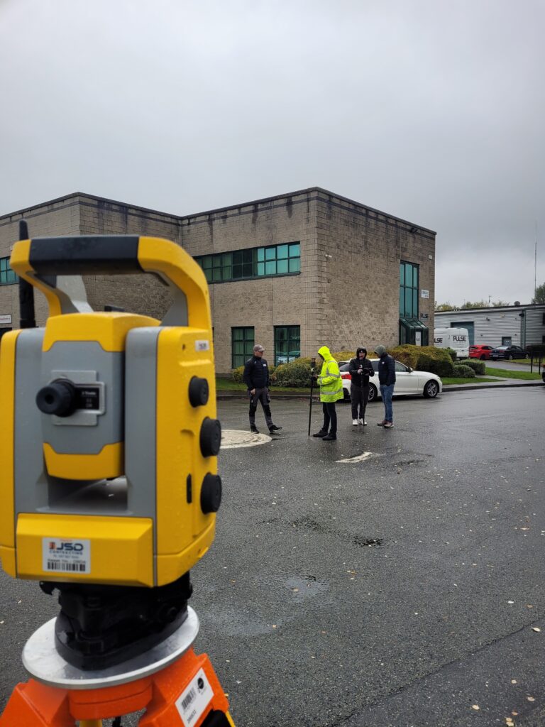
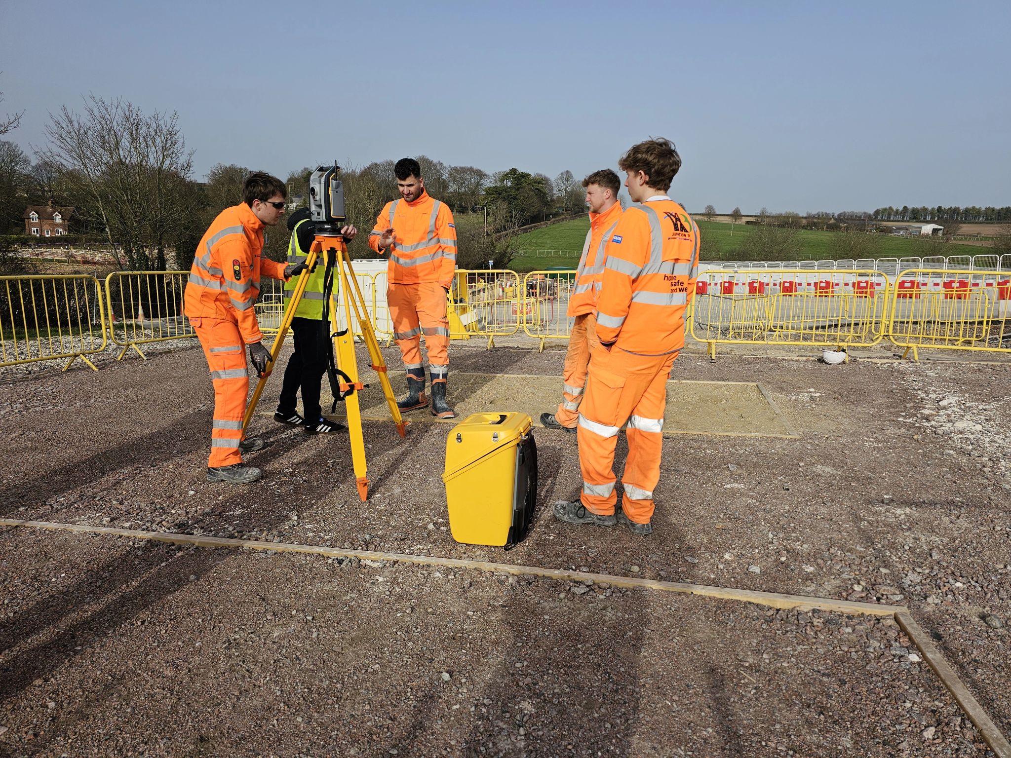
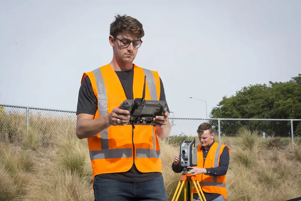
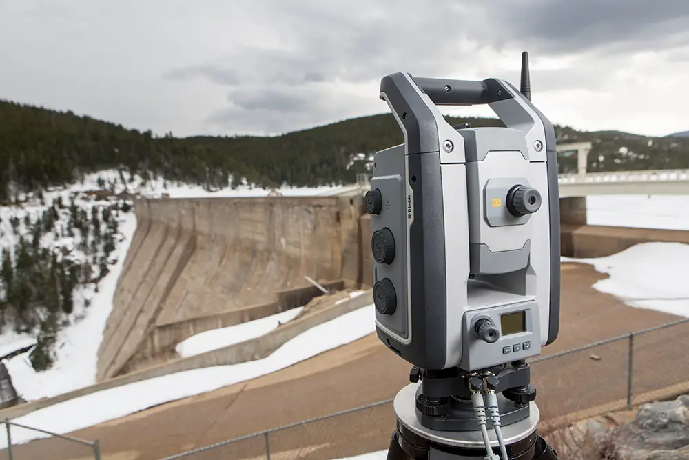
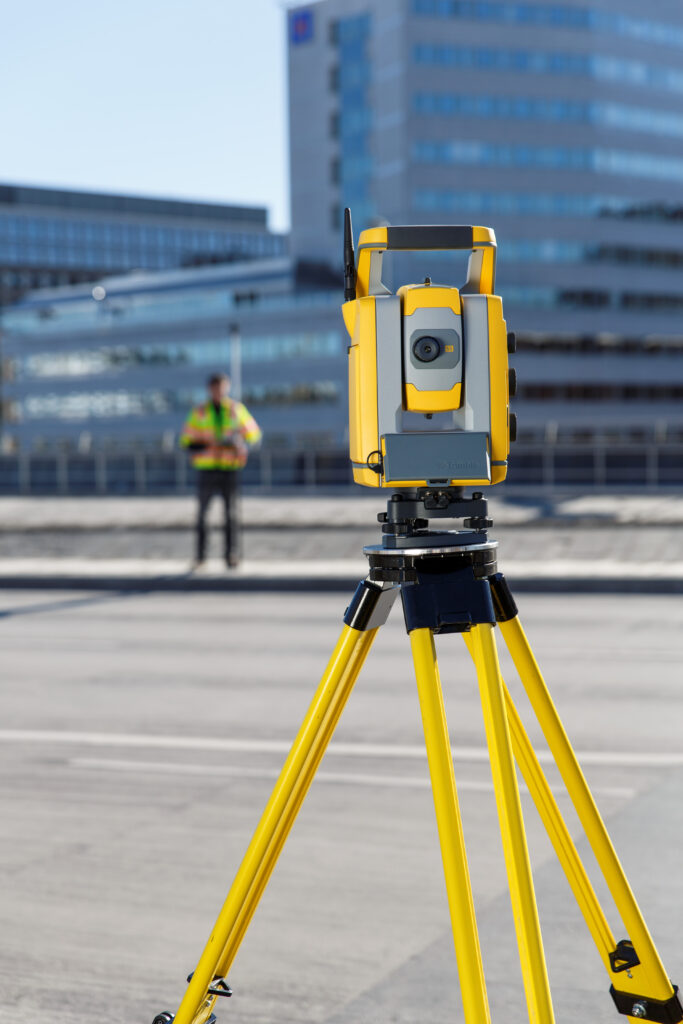
The total station is the cornerstone of professional land surveying, measuring angles and distances to produce accurate three-dimensional coordinates for every observed point. Modern robotic models such as the Trimble S Series allow a single operator to work remotely from the prism end, improving efficiency and reducing staffing requirements on site.
Total stations are the right choice for topographic survey, boundary survey, construction setting out, and road and infrastructure works. They perform reliably where GNSS signals are degraded, including under tree canopy, in urban canyons, and inside structures, making them the most versatile instrument available for mixed-environment workloads.
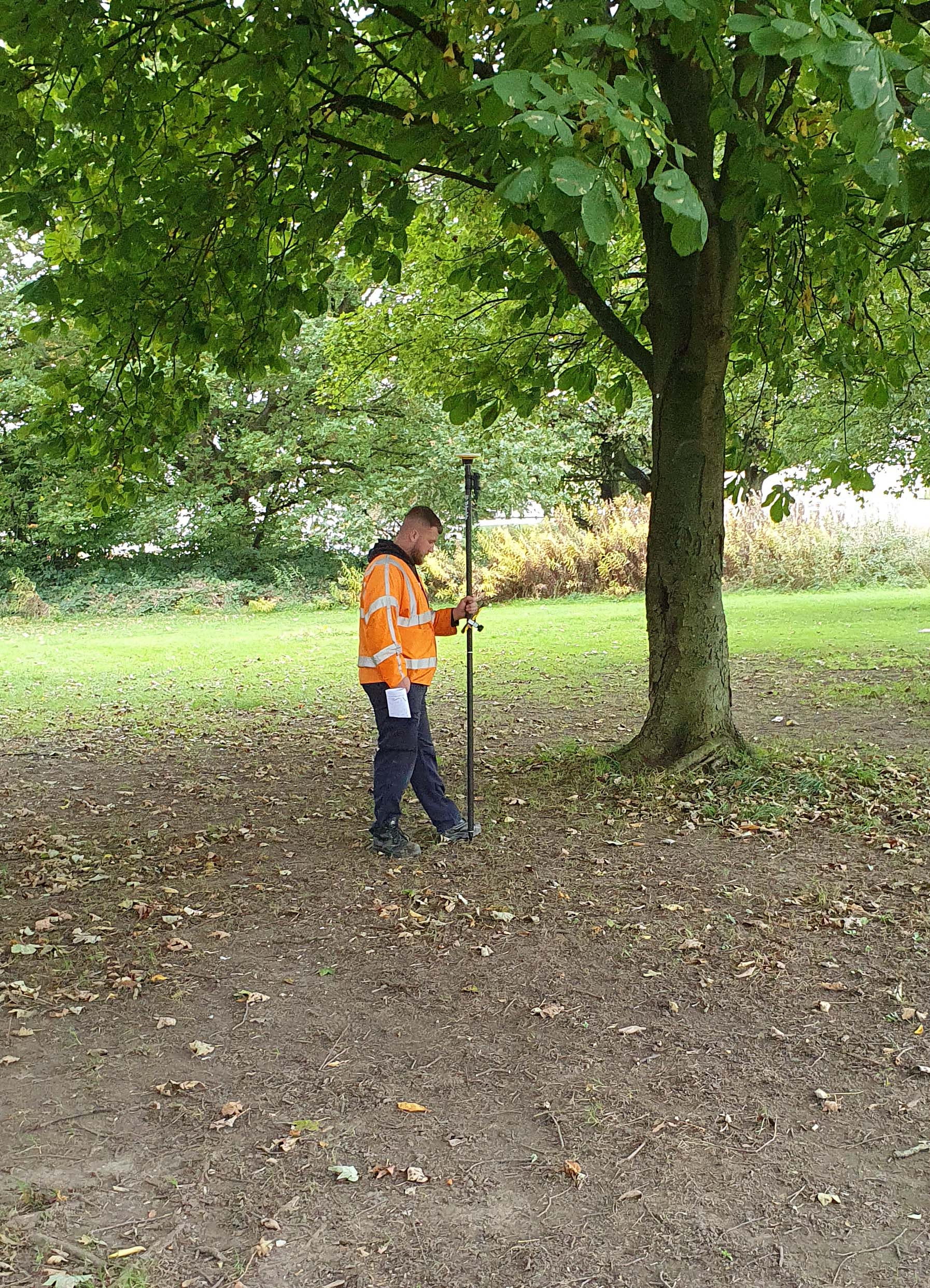
GNSS rovers such as the Trimble R580 and Trimble R980 deliver centimetre-level accuracy with fast setup on open sites. RTK correction services such as Trimble VRS Now remove the need for a base station across most UK and Ireland sites.
GNSS is highly productive for large open-site surveys, topographic mapping, and boundary work where sky visibility is good. It works efficiently alongside a total station, with GNSS covering open areas and the total station picking up obstructed detail. For businesses whose work is predominantly on open sites, a GNSS rover can be the primary instrument with a total station as the secondary tool.
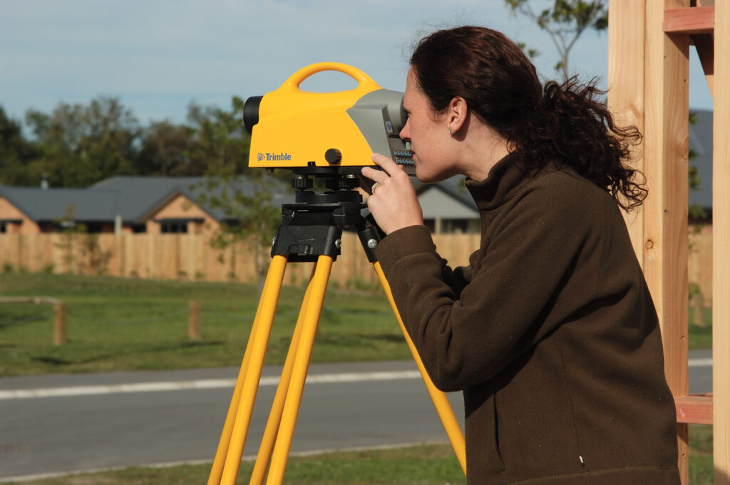
Digital levels provide precise height measurements for establishing vertical control, checking floor levels, and monitoring settlement. Trimble digital levels combine automated reading with onboard data storage, reducing booking errors and speeding up levelling runs compared to optical instruments. They are a straightforward and cost-effective addition for any firm working on infrastructure, highways, or drainage projects with tight vertical tolerances.
3D laser scanners such as the Trimble X9 and Trimble X7 capture dense point cloud data for as-built documentation, heritage recording, structural inspection, and BIM data capture. The Trimble X12 offers a further option for teams requiring faster scanning speeds and higher point density. Scanning total stations such as the Trimble S7 and Trimble SX12 offer a practical route into scanning capability without a dedicated standalone instrument, making them a strong choice for firms seeing growing demand for 3D deliverables.
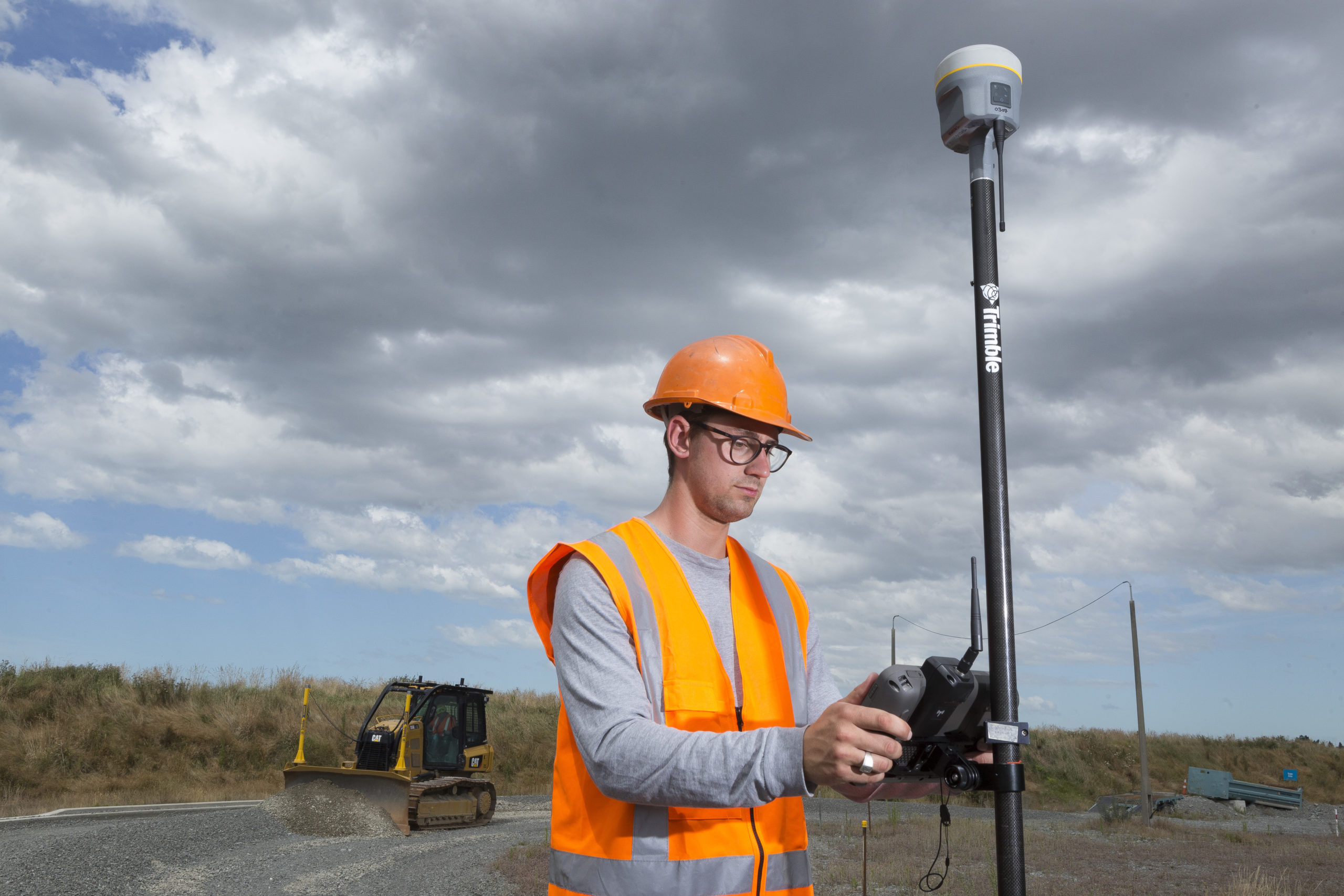
UAV platforms such as the Wingtra Ray allow large areas to be mapped rapidly from the air, producing orthomosaics, surface models, and point clouds. Drone survey is most valuable for stockpile volumes, site progress monitoring, and topographic mapping of extensive areas. Note that commercial operations require CAA qualification, so it is worth assessing the volume of suitable work before committing to the investment.
Define your accuracy requirements before specifying equipment. A one-arc-second robotic total station covers the vast majority of survey and construction applications. For structural monitoring, precision engineering, or tunnel survey, sub-arc-second instruments such as the Trimble S9 are the appropriate choice. Matching accuracy to genuine project requirements avoids both under-specification and unnecessary cost.
Survey instruments work in challenging environments. Look for instruments with an IP65 rating or better for UK and Ireland field conditions, and consider the ruggedness of data collectors and accessories as well as the primary instrument.
Survey data moves from field instrument to office software to client deliverables, and increasingly into BIM environments. Instruments that integrate cleanly with Trimble Access in the field and Trimble Business Center and Trimble Connect in the office reduce the time and risk in that data journey. A coherent ecosystem avoids fragmented workflows and the errors that come with them.
The purchase price is only the starting point. Annual calibration, servicing, software licences, and eventual repair costs all contribute to the true investment. KOREC Care Packages bundle calibration, servicing, and loan instrument cover into a predictable annual cost, making budgeting more straightforward for growing businesses.
Properly serviced and certified refurbished instruments offer genuine value at a lower entry cost. KOREC’s used and refurbished range covers total stations and GNSS equipment recalibrated to manufacturer standards, and is a sensible option for businesses expanding their fleet or equipping a second crew.
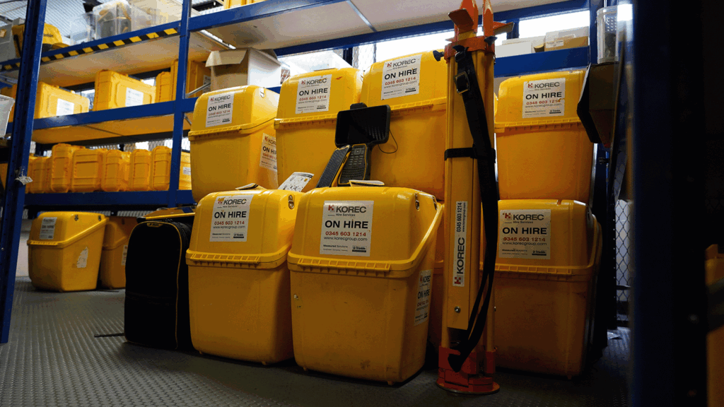
For specialist instruments used infrequently or for short-term project requirements, hire is often the more commercially sensible route. If you find yourself hiring the same equipment several times a year, that is a reasonable signal that purchasing has become the better decision. See the full KOREC hire range for current availability.
With your requirements and budget defined, draw up a shortlist of two or three instruments in each category and compare them against your criteria systematically. A longer specification sheet is not necessarily the better choice if the additional features do not map to your actual workload.
No amount of specification reading replaces time with an instrument in a realistic field setting. KOREC can arrange demonstrations and trial periods so your team can assess equipment in your own working environment before committing. If you would like to discuss your requirements, our team is on hand to help.
For most survey businesses, the robotic total station is the most critical investment. It covers the widest range of applications and performs reliably where GNSS signals are compromised. A GNSS rover is a close second for businesses whose work is predominantly on open sites.
Entry-level robotic total stations typically start from around £12,000 to £18,000. Mid-range instruments with scanning capability sit broadly in the £20,000 to £35,000 range. High-precision instruments can exceed £40,000. GNSS rovers with full RTK capability typically range from £8,000 to £25,000. These are a guide; the right answer depends on your project requirements and expected utilisation.
Hire is the right choice for equipment used fewer than three or four times per year, for specialist instruments needed for a single project, or while a purchased instrument is being serviced. If you are regularly turning down work because you lack a particular capability, or spending more on hire in a year than a purchase would cost over two years, ownership has likely become the better commercial decision.
KOREC provides in-person product training, dedicated account management, and UK and Ireland based calibration and repair workshops. As the authorised Trimble dealer for the UK and Ireland, KOREC supports the full Trimble surveying range from initial specification through to the full working life of the instrument.
KOREC can advise you on the right land surveying equipment for your business. Speak to our friendly experts today to get the right technology to solve your project challenges.