Please confirm your details so we can process your order
Thanks for choosing KOREC as your trusted supplier to help you measure, map and manage.




Thanks for choosing KOREC as your trusted supplier to help you measure, map and manage.
Your trusted partner
Thank you for choosing KOREC to be your trusted technology partner. So we can process your order, please complete the form on this page. If you have any questions, please reach out to your sales consultant, or contact us:
UK
+44 (0) 345 603 1214
salesadmin@korecgroup.com
IRELAND
+353 (0) 1 456 4702
ordersire@korecgroup.com
Always in your corner
KOREC has been a trusted partner of the geospatial industry for over 50 years. No matter what your challenge, we’re always on hand to make sure you have the tools, technology and training you need to measure, map and manage the natural and build environment. Trust KOREC to work faster with connected field-to-office workflows and smart technology choices that focus on ease and efficiency.
If you’d like to talk about your challenges, discover new ways of working, or just see that latest innovations in your industry, just drop us a line.

See technology in action
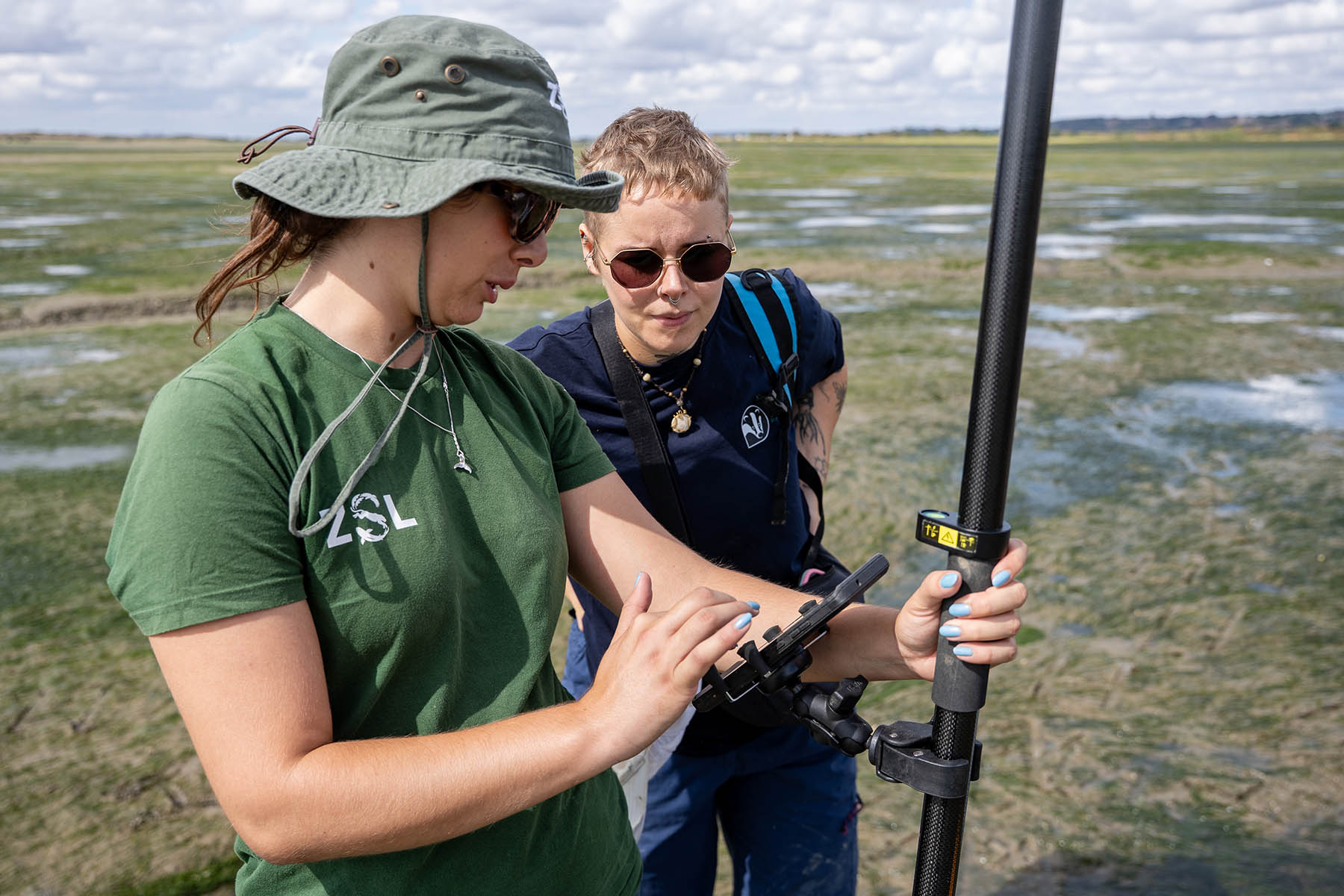
How centimetre accuracy, delivered by a low-cost Trimble Catalyst GNSS system, proved the perfect fit for monitoring seagrass recovery on the multi-million-pound Transforming the Thames Project.
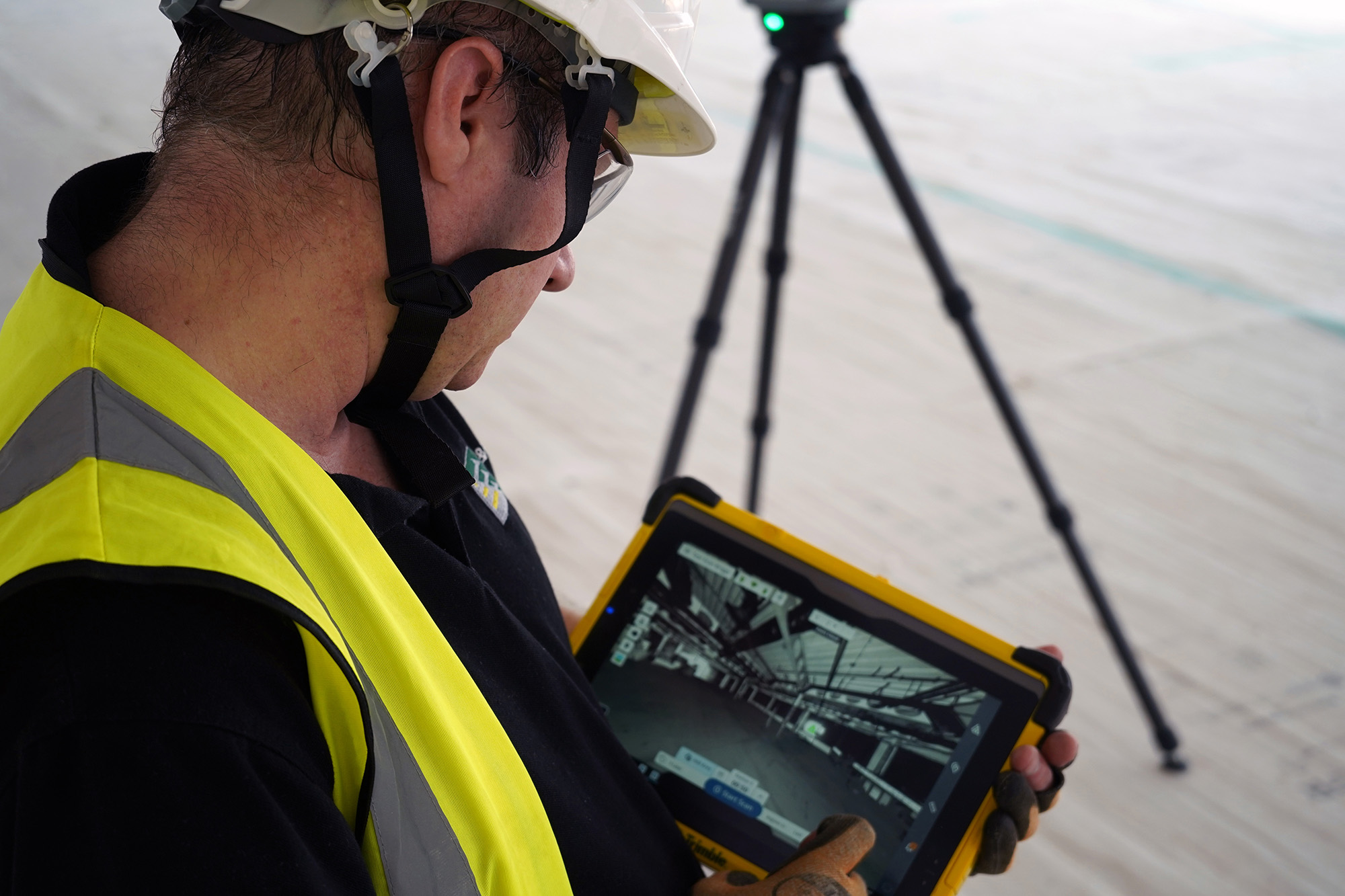
Transforming MEP delivery with the Trimble X9 3D Laser Scanner – the recent acquisition of this laser scanner represents the company’s commitment to working smarter, empowering its people and delivering even greater value and confidence to its clients.
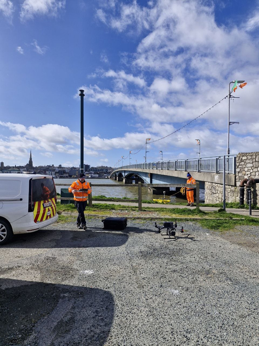
IO Geomatics combines over 27 years of topographical expertise with an extensive survey portfolio that allows them to apply the most effective methodologies for each site’s specific challenges. A recent example is their complex survey of Wexford Bridge, a critical regional crossing connecting Wexford to Ferrybank.
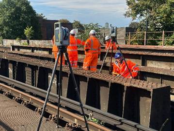
Working in tandem with Bidston Surveys and their Trimble X7 on Camberwell Railway Bridge
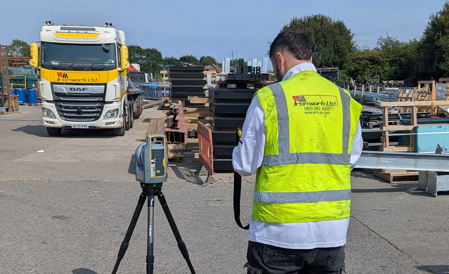
How WM Ironwork’s use of Tekla Structures led them to introduce the Trimble X9 3D laser scanner into their workflow, increasing their abilities tenfold by significantly reducing rework and improving on-site measurement.
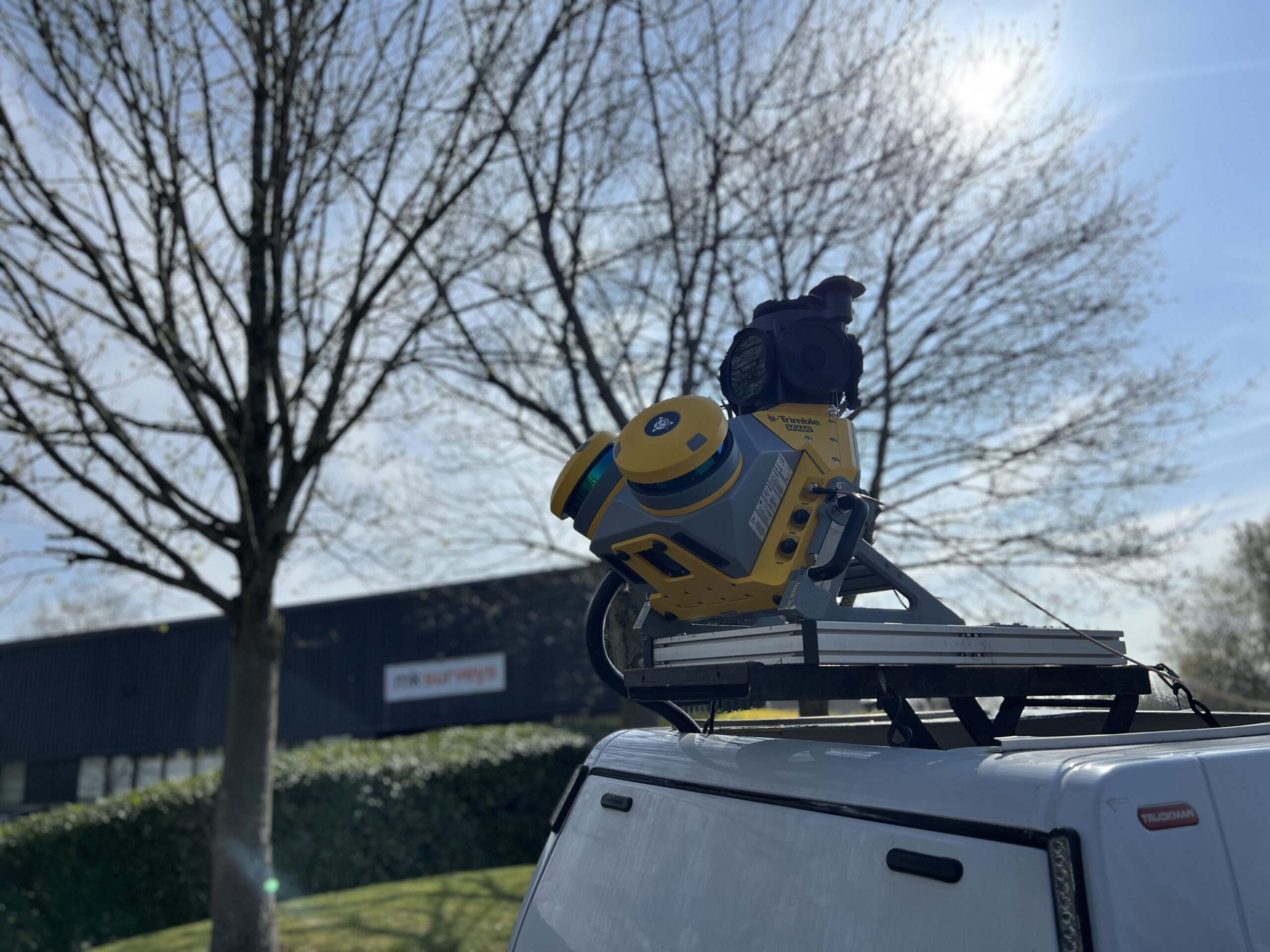
MK Surveys is maximising the value of its Trimble MX60 Premium system in two ways: by treating it as a precision survey tool rather than solely as a mobile mapping solution and by developing new client-focused workflows.
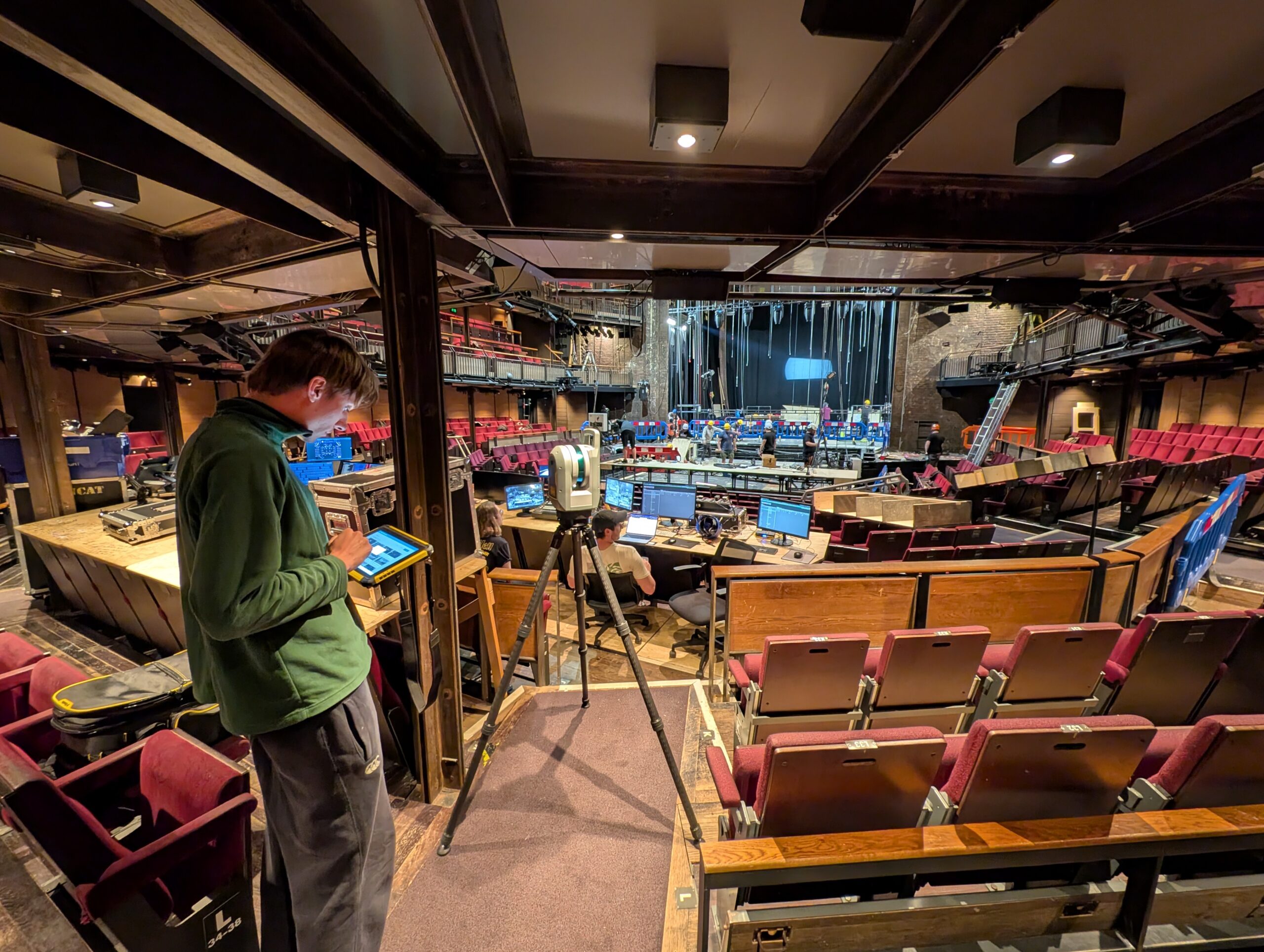
How the Royal Shakespeare Company is using a Trimble X9 Core LT 3D Laser Scanner to move beyond 2D plans and truly understand the 3D spaces they design for.
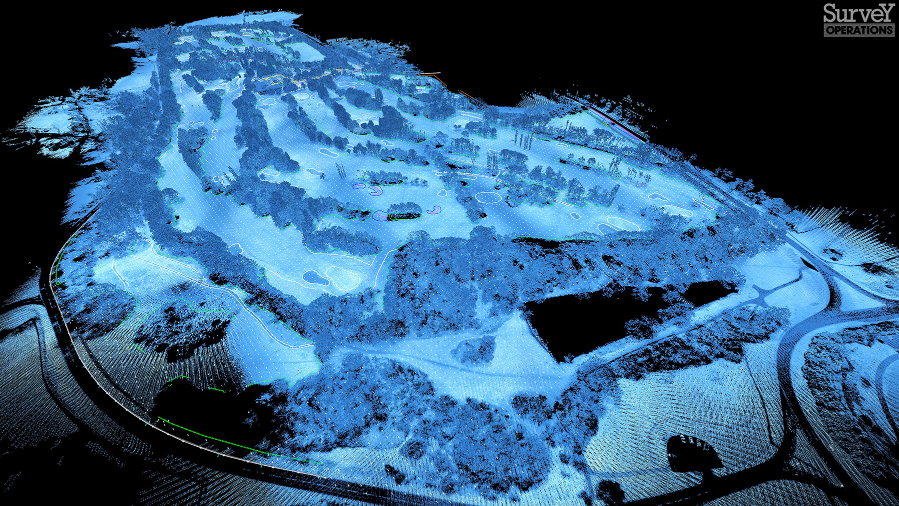
Survey Operations has exploited its Wingtra GEN II drone’s interchangeable LiDAR/camera payloads and straight forward workflows to create impressive operational and data quality advantages, not just on large scale projects, but on the small ones too.
The reliability of the Trimble X9 Core for 3D laser scanning has made it a go-to tool for the Royal Agricultural University, both in preparing the next generation of land […]
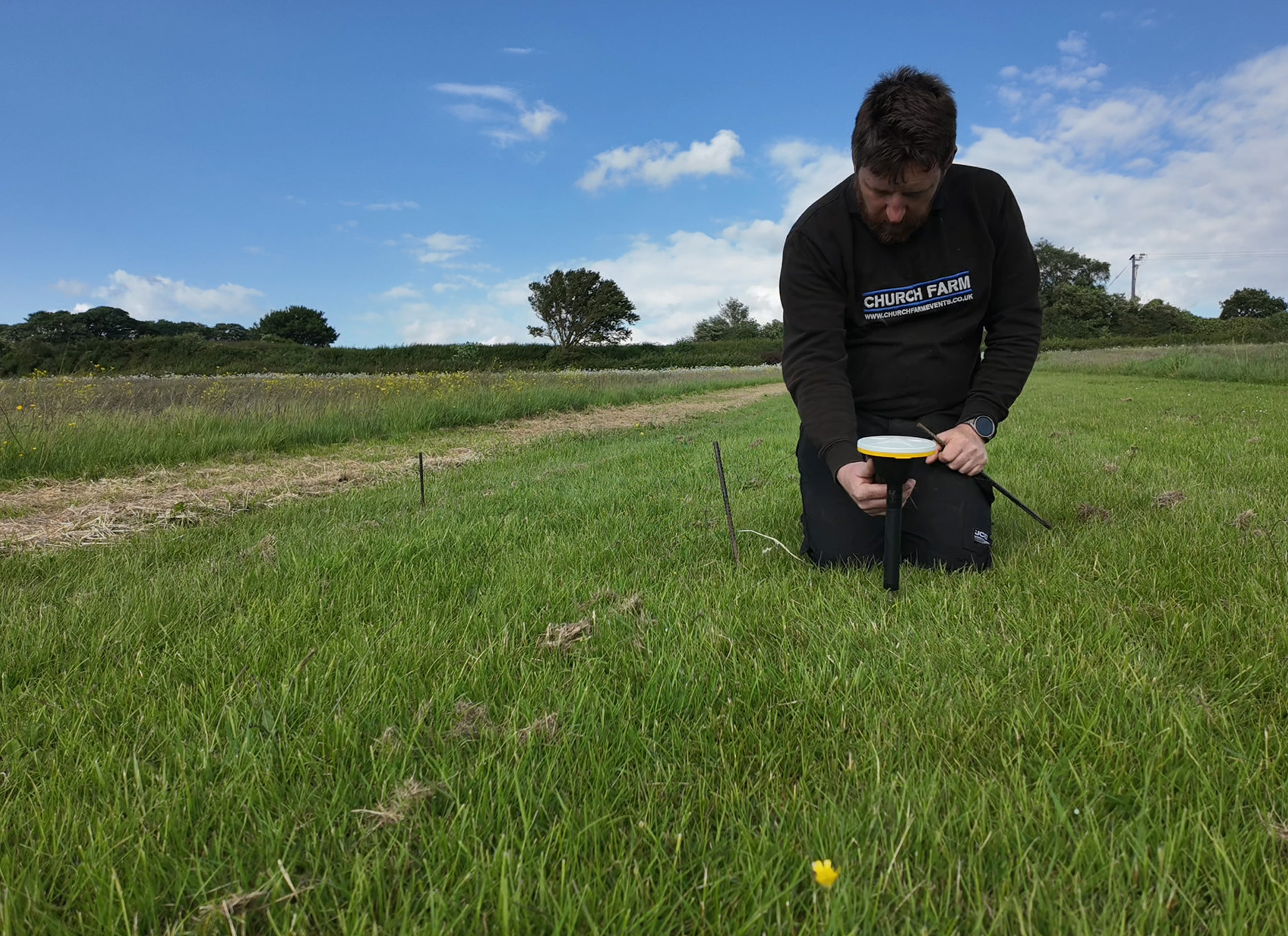
Using Trimble Catalyst to accurately map plots on their natural burial ground, Forget Me Not Fields has found a perfect balance between efficiency and tranquillity amongst the wildflower meadows. Download […]