Choosing Survey Equipment for Challenging Terrain
Find out how to select the right survey equipment for difficult field conditions, from steep slopes and dense woodland to remote sites, wet ground, and extreme weather


Find out how to select the right survey equipment for difficult field conditions, from steep slopes and dense woodland to remote sites, wet ground, and extreme weather
Surveying in challenging terrain puts equipment under pressure in ways that straightforward open-site work does not. Instruments need to perform accurately in conditions that may include driving rain, freezing temperatures, unstable ground, poor satellite visibility, and difficult access. Poor equipment choices in these conditions lead to unreliable data, extended field time, and in some cases safety risks for the survey team.
This guide covers the terrain challenges surveyors face most often, the equipment characteristics that matter most for difficult conditions, and how to match instrument choice to specific environments. For a broader overview of survey equipment selection, see our guides on how to choose land surveying equipment and best ground survey equipment for topographic surveys.
Not all challenging terrain is the same, and the equipment decisions it demands are different in each case. The most common difficult conditions surveyors encounter fall into a few broad categories:
Understanding which of these conditions applies to a project before mobilising is the most important step. Many challenging surveys involve more than one of these factors simultaneously, which influences both instrument selection and how the survey team plans the work.
IP ratings define the level of protection an instrument offers against ingress of dust and water. IP65 provides full dust protection and resistance to water jets from any direction, which covers most UK and Ireland field conditions including heavy rain. IP67 adds protection against temporary immersion, which is relevant for instruments that may be used in waterlogged environments or near open water. Most professional survey instruments from Trimble meet IP65 as a minimum; check the specification of data collectors and accessories as well as primary instruments, as these are sometimes rated lower.
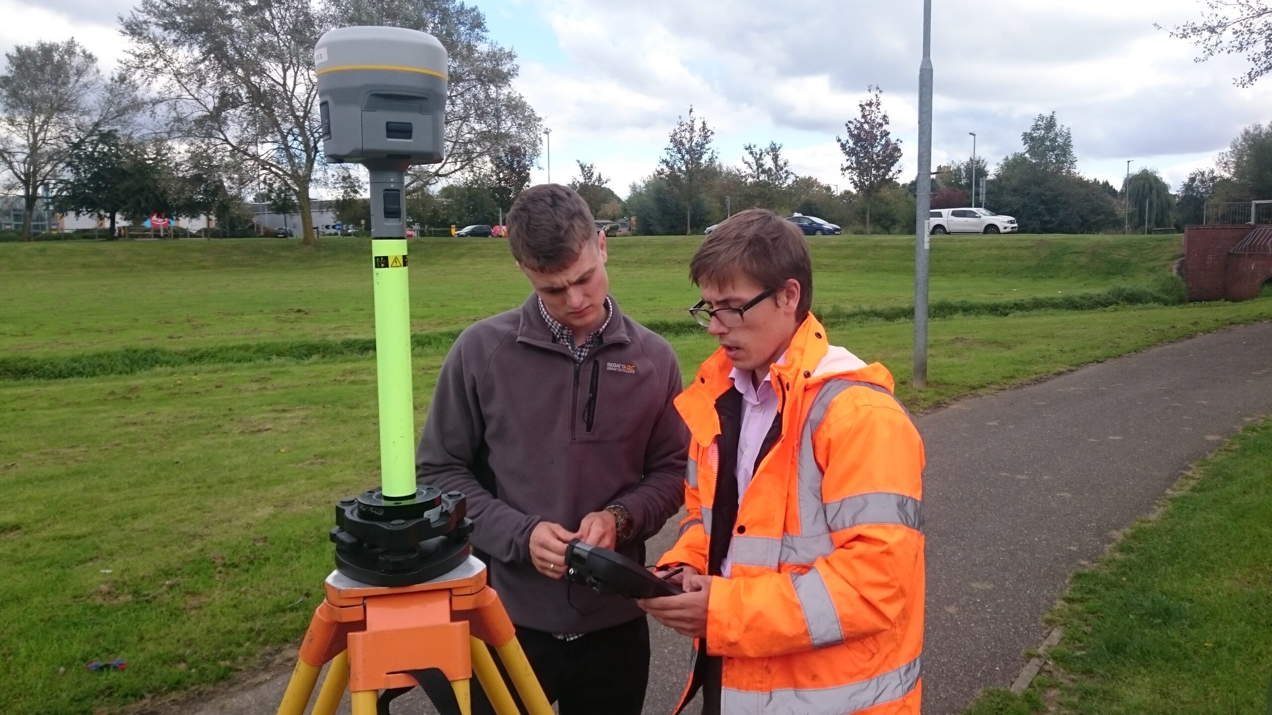
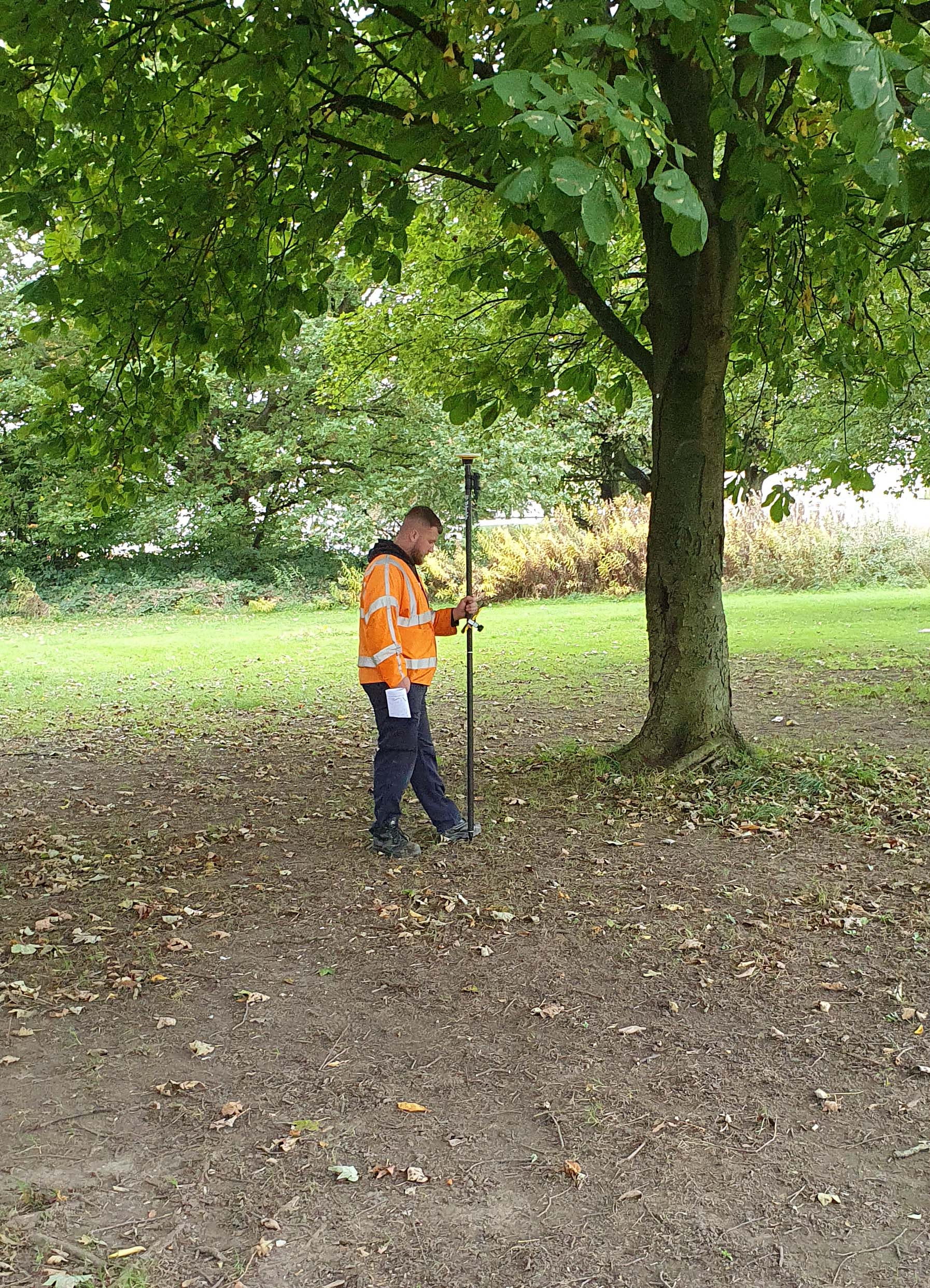
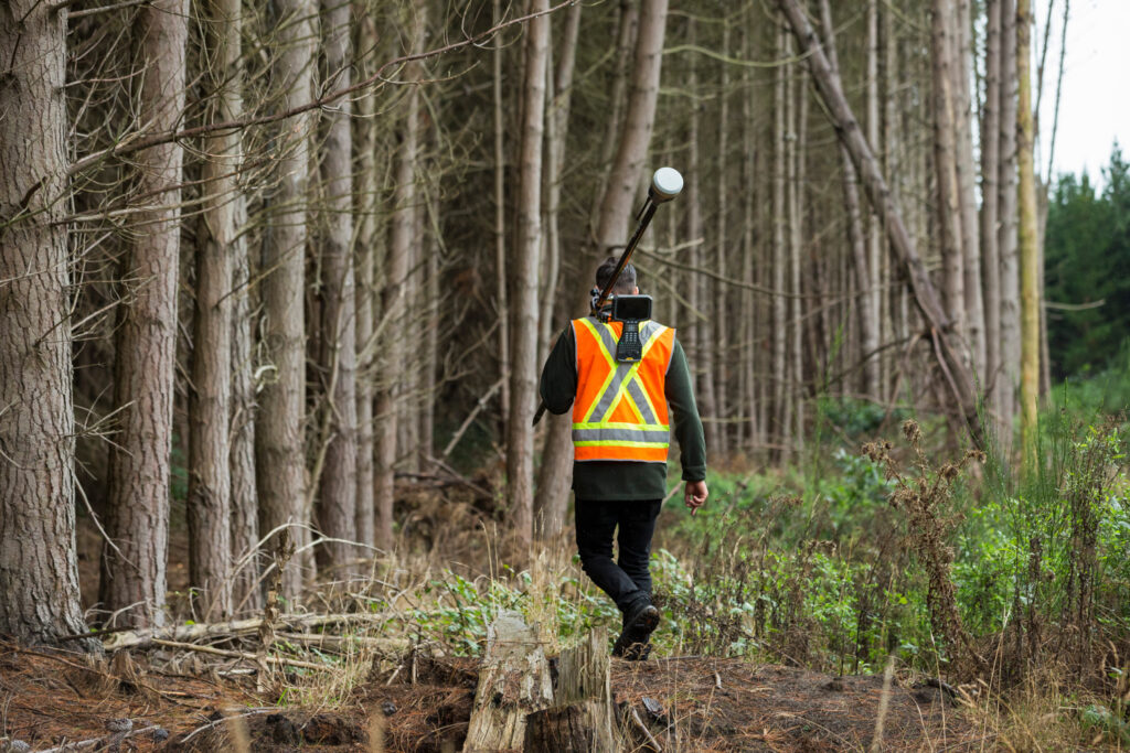
On sites requiring access on foot across rough ground, steep terrain, or through woodland, the weight and packability of equipment becomes a practical constraint. A full survey kit including tripod, instrument, data collector, poles, and accessories can be substantial. Prioritising lighter instruments and consolidating to a minimum kit reduces fatigue and improves safety on difficult access routes. Robotic total stations that allow single-operator working also reduce the number of people who need to access hazardous or difficult terrain.
Cold temperatures significantly reduce the effective capacity of lithium-ion batteries. In sub-zero conditions, battery life can fall to a fraction of the manufacturer’s rated figure. For remote or extended field sessions, carrying spare batteries and a means of keeping them warm is essential practice. Some Trimble instruments support extended battery systems; check availability for the specific model before deployment on remote projects where recharging is not possible.
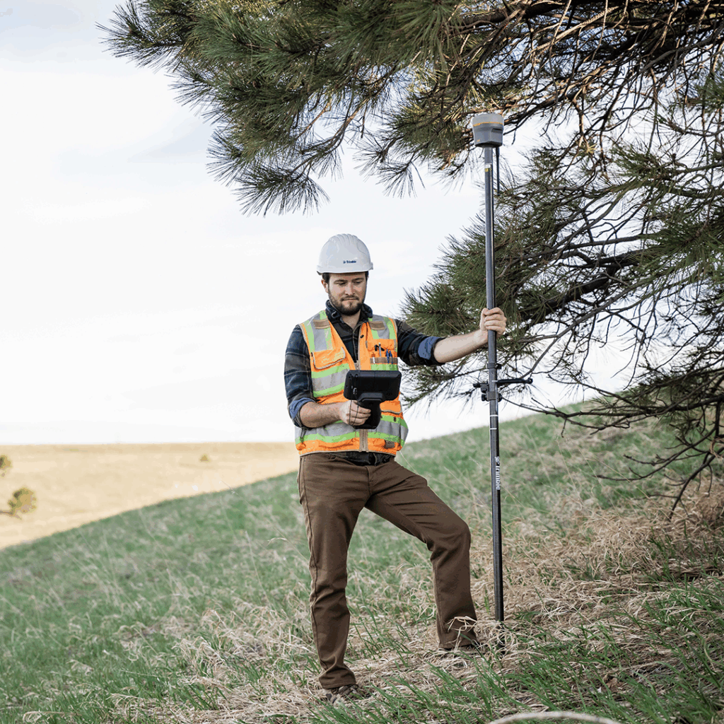
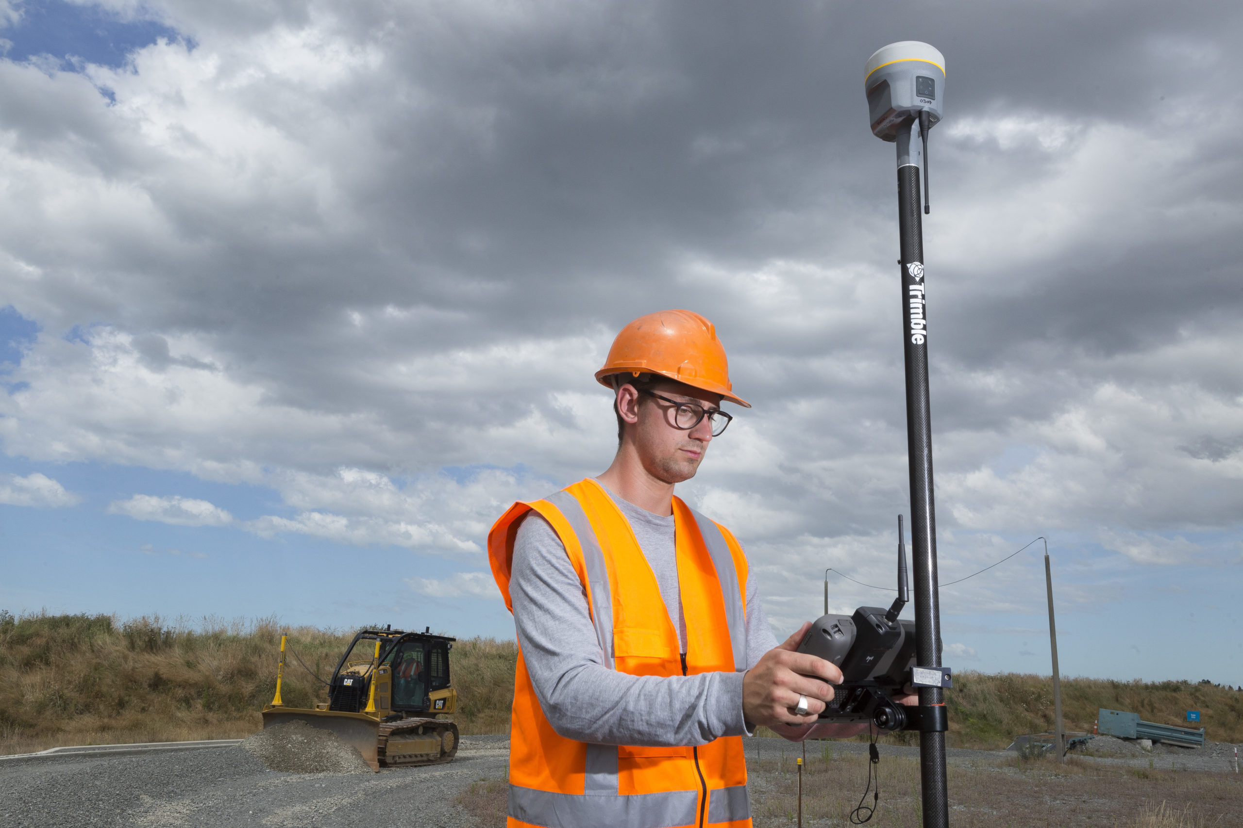
On sloping or uneven ground, levelling a survey pole precisely on every observation takes time and introduces fatigue-related error over long field sessions. IMU-based tilt compensation, available on the Trimble R580 and Trimble R980 via Trimble’s TIP technology, allows observations to be taken with the pole tilted without accuracy compromise, which is particularly valuable on steep embankments, rough grassland, and vegetation edges. For total station work on slopes, instruments with electronic bubble displays and stable tribrach connections reduce setup time and minimise the risk of settling between observations.
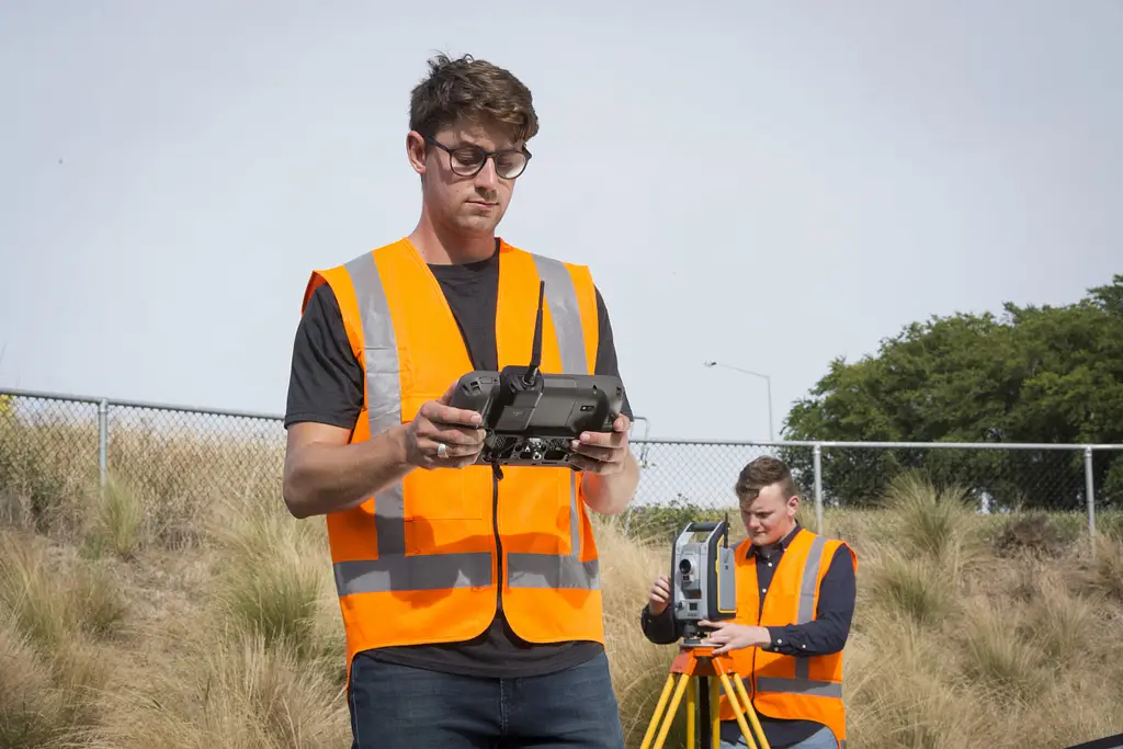
On steep terrain, GNSS rovers with tilt compensation are the most productive option where satellite visibility allows. The Trimble R980 and Trimble R580 both include Trimble TIP tilt compensation and multi-constellation tracking, which maintains reliable positioning even on sites where slope and surrounding topography partially obstruct the sky. Where GNSS is insufficient, a Trimble S Series robotic total station can be set up at a stable point and used to cover both upslope and downslope areas without the operator needing to reposition the instrument frequently.
Tripod stability is critical on sloping ground. Ensure all three legs are firmly planted and the instrument is not set up on loose material. On very steep slopes, short-legged tripods or ground anchors can improve stability where standard tripods are difficult to secure.
Dense tree canopy is one of the most common GNSS performance challenges in UK and Ireland surveying. Under heavy canopy, satellite visibility is reduced, multipath errors increase, and RTK initialisation can be unreliable or impossible. In these conditions, a robotic total station is typically the most reliable instrument, providing line-of-sight measurement that is unaffected by overhead obstruction.
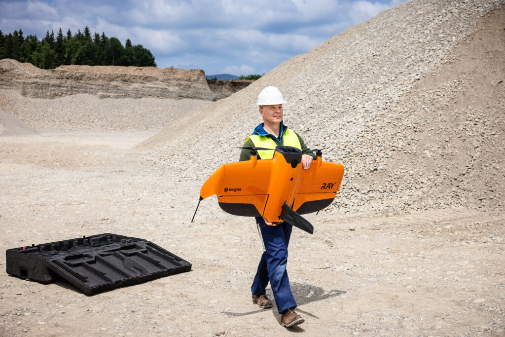
Where the survey boundary or key features lie at the woodland edge rather than within it, a GNSS rover can cover the open areas while the total station handles the obstructed sections. UAV survey platforms such as the Wingtra Ray can capture above-canopy point cloud and photogrammetric data that, combined with ground control, provides terrain information without requiring ground access beneath the canopy.
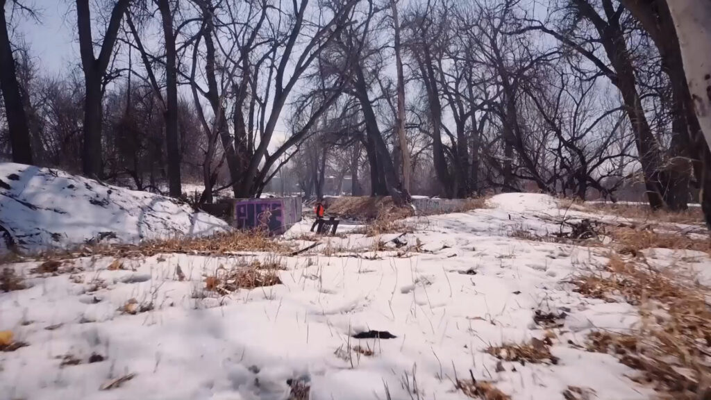
Remote sites present a combination of challenges: limited mobile data connectivity for network RTK, restricted access for resupply, and the need to carry everything required for the full field session. For sites without reliable mobile coverage, a traditional base and rover GNSS configuration — where the base station broadcasts corrections directly to the rover via radio — removes the dependency on network connectivity entirely.
The Trimble R980 supports integrated UHF radio and multiple correction input options, giving the operator flexibility to switch between network RTK where available and base and rover where it is not. Trimble CenterPoint RTX, available on the Trimble R980, delivers satellite-broadcast corrections globally with no base station or mobile data requirement, making it a practical option for genuinely remote locations.
For remote access on foot, keeping the kit to the minimum required for the project reduces physical burden and improves safety. A GNSS rover, data collector, spare batteries, and a lightweight bipod or range pole is often sufficient for open-country topographic work.
Wet ground and coastal environments demand high IP-rated instruments and particular attention to tripod placement. On soft or waterlogged ground, standard tripod feet can sink or shift during a session, introducing error into observations. Wider-footed tripods, ground plates, or wooden stakes can stabilise a tripod on soft surfaces. Avoid setting up on ground that is visibly unstable or subject to tidal movement without accounting for the change in instrument position.
For coastal surveys involving intertidal zones or surveys near open water, instruments rated to IP67 or better provide an additional margin of protection. Data collectors and field controllers should be checked for water resistance separately, as they are frequently rated lower than the primary instrument.
Cold weather affects battery performance, screen visibility, and fine motor control when operating instruments. In sub-zero conditions, keep spare batteries in an inside pocket close to the body rather than in an external bag, and allow instruments to acclimatise gradually when moving from a warm vehicle to cold outside air to reduce the risk of condensation on optical and electronic components.
In hot conditions, heat haze can degrade total station pointing accuracy at longer ranges, and direct sun on an instrument can cause thermal expansion that affects calibration. Where possible, shade the instrument between observations on very hot days and avoid long-range sighting across heated surfaces such as tarmac or bare rock in direct sunlight.
Contaminated land, unstable embankments, structures at risk, and active construction zones all present situations where minimising time on site is a safety priority as much as a productivity one. Equipment that supports remote operation or measurement from a safe distance is particularly valuable in these environments.
Robotic total stations allow the instrument to be set up at a safe location while the operator works from the prism end at distance. Laser scanners such as the Trimble X9 and Trimble X7 can capture comprehensive 3D data of a structure or embankment from a single safe setup position, removing the need to traverse the hazardous area entirely. The Trimble X12 offers even higher point density for demanding structural recording applications. UAV survey platforms extend this further, capturing terrain and structural data from the air without any ground access requirement.
Where ground access is restricted, dangerous, or impractical, UAV platforms provide an effective alternative. Fixed-wing platforms such as the Wingtra Ray can cover large areas of difficult terrain from the air, producing orthomosaics, digital surface models, and point clouds without requiring the survey team to access the ground surface at all. This is particularly relevant for steep slopes, contaminated land, cliff faces, and active construction zones.
A single scanner setup can capture millions of points in minutes, producing a comprehensive spatial record of a site or structure from a safe standoff position. The Trimble X9 achieves up to 1 million points per second with a range of up to 300 metres, making it well suited to large embankments, retaining structures, and any area where extended ground traversal would be hazardous. The Trimble X12 extends this further with up to 2.2 million points per second for projects requiring higher point density.
Network RTK services such as Trimble VRS Now remove the need to transport, set up, and leave a base station at a known point on site, which simplifies logistics significantly on remote or difficult-access projects. Where mobile coverage is unavailable, Trimble CenterPoint RTX delivers satellite-broadcast corrections to compatible receivers including the Trimble R980, providing centimetre-level positioning without any ground infrastructure.
For survey firms that regularly work across a variety of difficult environments, a core kit that covers most scenarios is more practical than optimising for one terrain type. A well-chosen combination typically includes:
Specialist capability such as laser scanning or UAV survey is better accessed through hire for firms that use it infrequently, rather than carrying the capital cost of ownership for tools deployed on only a small proportion of projects.
KOREC’s hire fleet includes robotic total stations, GNSS rovers, and laser scanners available for project-specific requirements. As the authorised Trimble dealer for the UK and Ireland, KOREC can also advise on the most appropriate instrument configuration for the terrain conditions your business encounters most. See the full KOREC hire range or speak to our team to discuss your requirements.
Weather resistance and reliability in varied conditions are the most critical characteristics. An IP65-rated instrument that initialises reliably under partial canopy and maintains accuracy on sloping ground will outperform a higher-specification instrument that struggles in adverse conditions. For most challenging terrain surveys, tilt compensation on a GNSS rover and robust target tracking on a total station are the two features that make the greatest practical difference to efficiency and data quality.
GNSS performance degrades significantly under dense canopy. Multi-constellation receivers such as the Trimble R980 and Trimble R580 maintain better performance than single-constellation systems by tracking more satellites across a wider range of elevations, but there is a practical limit. For surveys in woodland or under heavy tree cover, a robotic total station is a more reliable primary instrument, with GNSS used selectively in clearings and at the woodland edge.
The primary effect of cold weather on modern electronic survey instruments is on battery performance. Lithium-ion batteries lose capacity at low temperatures, with significant reduction in sub-zero conditions. Instruments themselves are typically rated for operation down to minus 20 degrees Celsius or below, but the operator and their power supply are often the limiting factor. Carry spare batteries kept warm, plan for shorter observation sessions, and allow instruments to warm gradually when returning from cold to warm environments to prevent condensation.
Hire makes sense for instruments used infrequently or for a single project requirement, such as a laser scanner for a one-off embankment survey or a UAV platform for aerial mapping of a remote site. KOREC’s hire fleet covers the main instrument categories and is available for short and longer-term requirements. See the KOREC hire range for current availability, or contact our team to discuss the most appropriate equipment for your specific project conditions.
KOREC can advise you on the right land surveying equipment for your business. Speak to our friendly experts today to get the right technology to solve your project challenges.