What is KOREC’s expertise in Mapping & GIS?
KOREC has specialised in geospatial data capture, GIS and mapping workflows for over 30 years, with a team bringing more than 100 years of combined experience. We help organisations capture, manage and use spatial data end-to-end, combining GNSS, drones, GIS software, mobile mapping, consultancy, training and support, across sectors from environmental management to utilities, events and heritage.
Which technology partners does KOREC work with?
KOREC is an official distributor for Trimble, DJI, Wingtra, Radiodetection, Soarvo and Propeller, giving access to GNSS, UAV, GIS and data-management platforms from a single integrated supplier, backed by in-house expertise and a global distributor network.
What mapping technologies does KOREC provide?
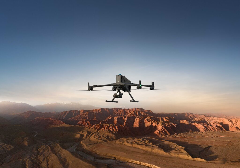
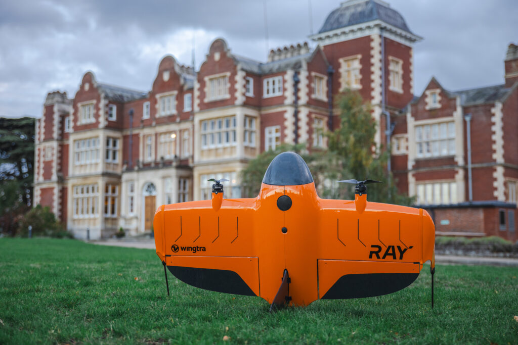
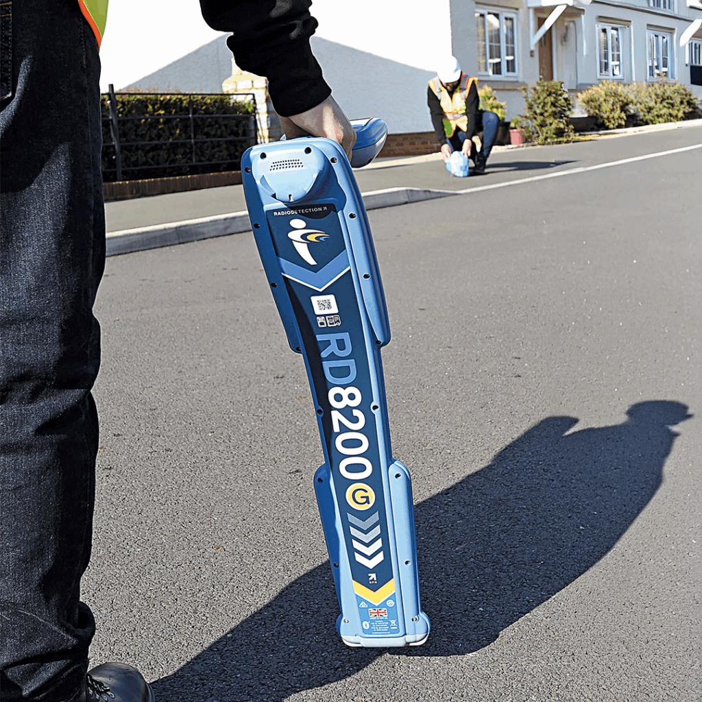
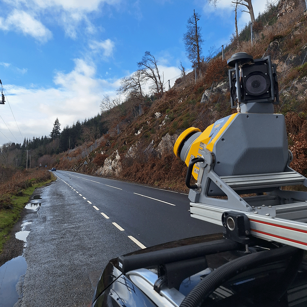
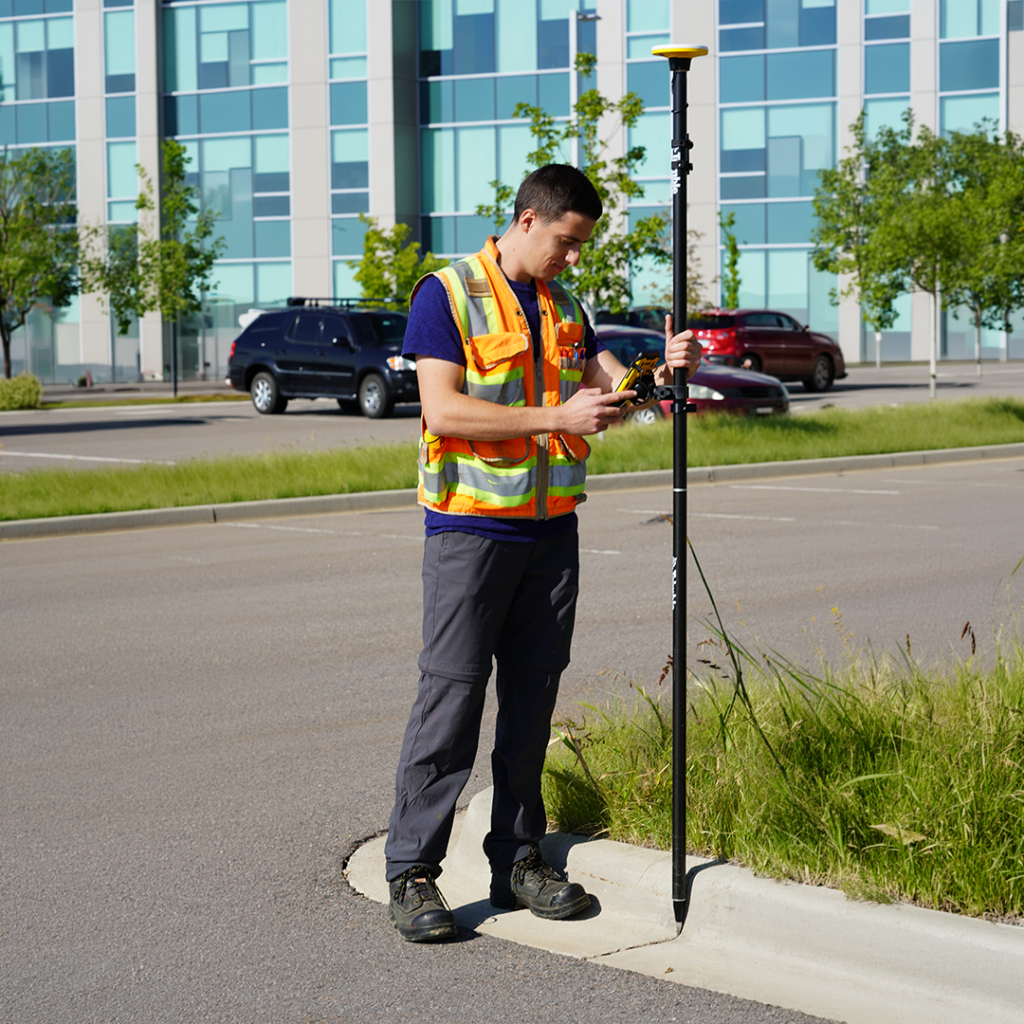
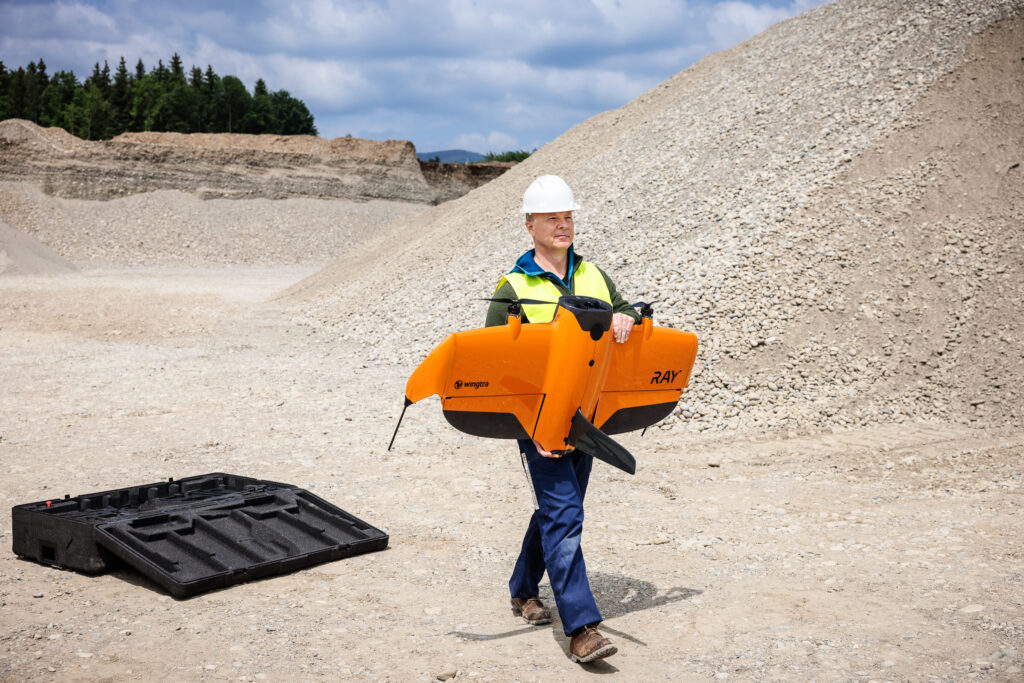
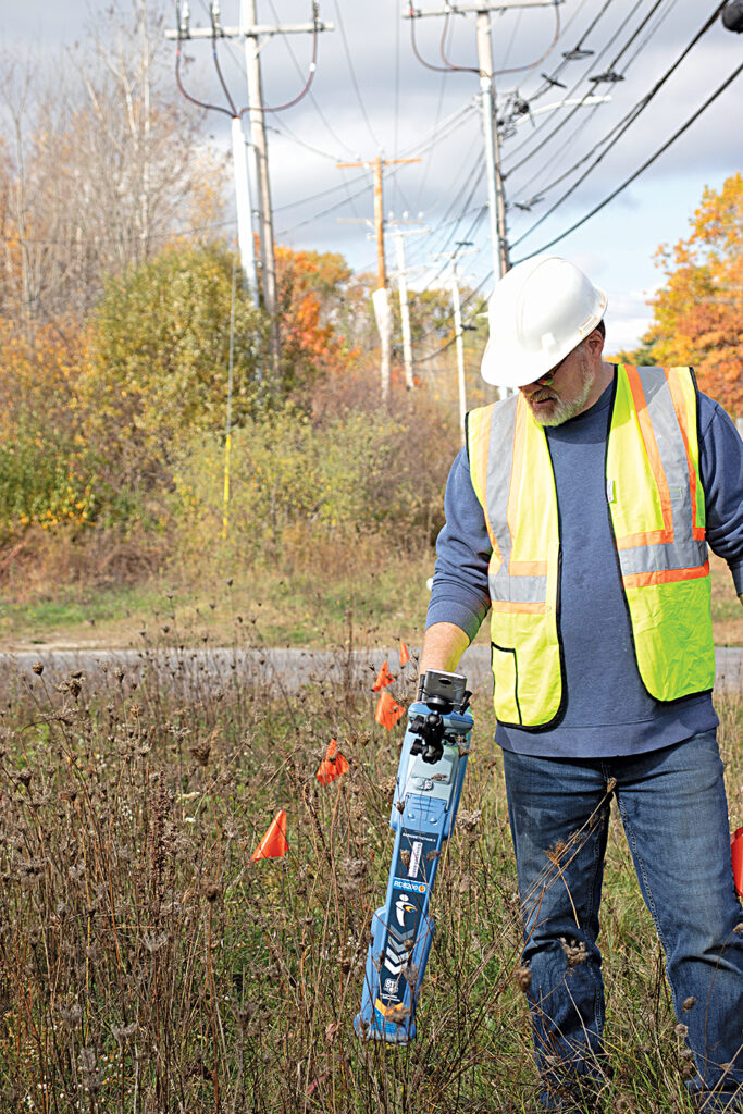
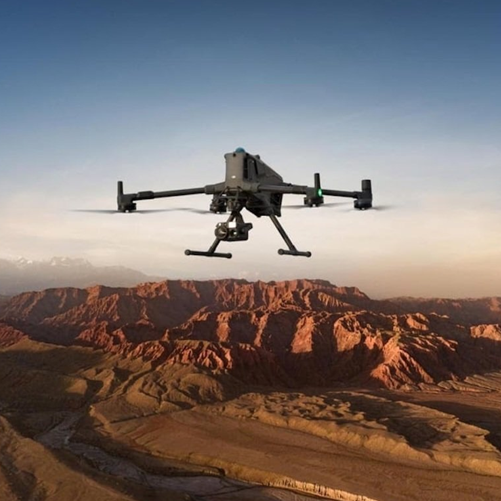
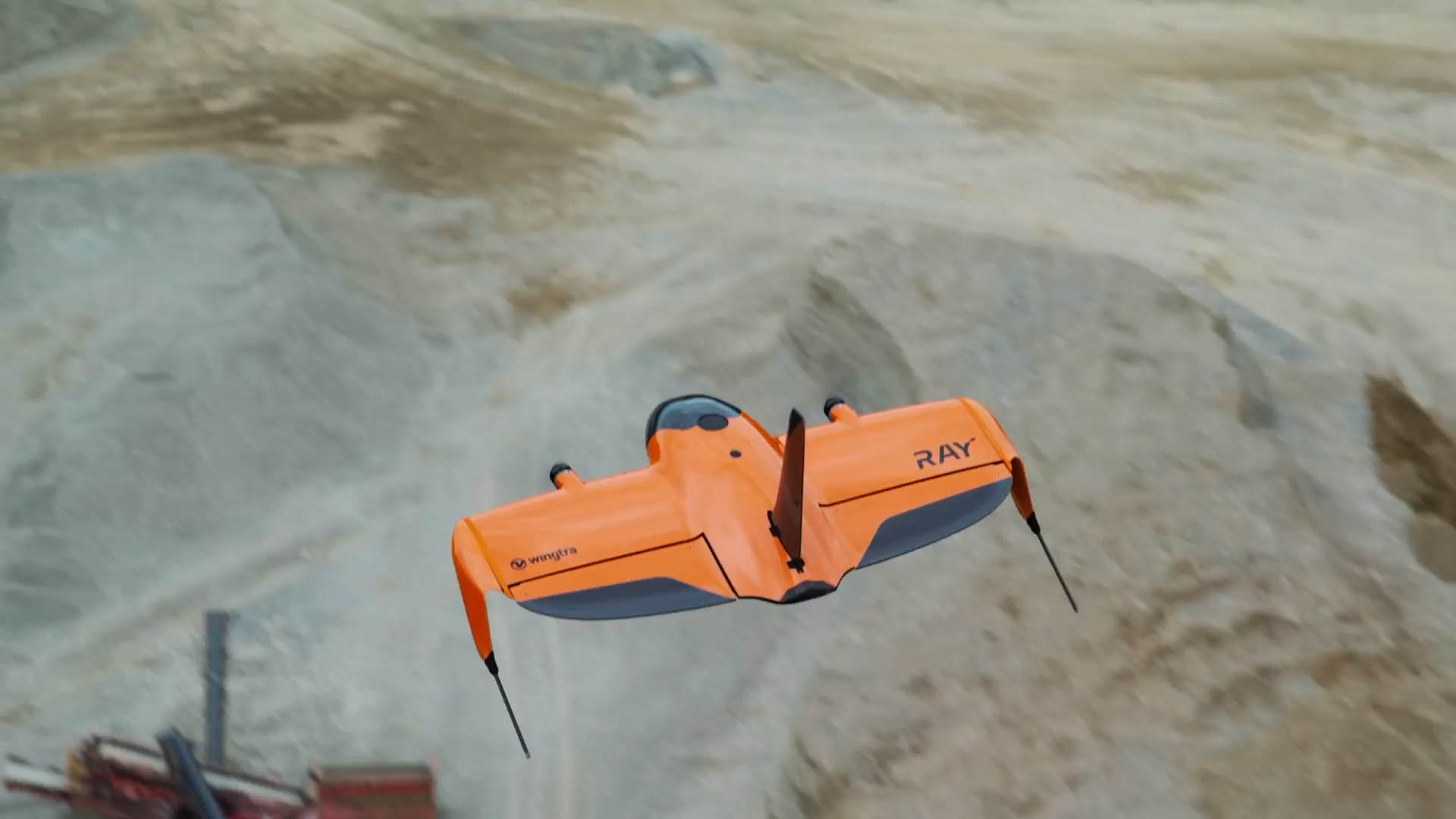
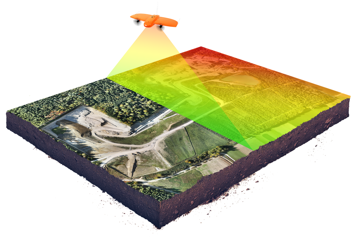
Fixed wing and rotary drones, mapping GNSS systems, mobile mapping, laser scanning, ground-penetrating radar (GPR), and cloud-based data capture, handling and sharing software, all supported by consultancy, training and customised, industry-specific workflows.
Why work with KOREC instead of buying direct from a manufacturer?
KOREC adds workflow design, consultancy, training and UK and Ireland-based support around the hardware, turning data capture into a working, supported process rather than a standalone purchase. Our case studies, from a family-run soil sampling business to Anglian Water, show this in practice rather than just in theory.
Can KOREC help us build a complete GIS workflow?
Yes. We support the full workflow from field data capture through processing, visualisation, GIS integration, cloud sharing and operational decision-making, not just the hardware stage. Our solutions are compatible with leading GIS platforms and data standards, and our team will help configure the right workflow for your organisation’s existing systems.
How is Mapping & GIS used in environmental and land management?
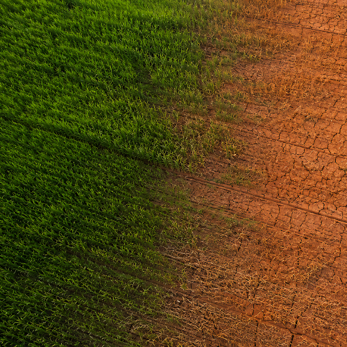
Drone mapping, GNSS positioning and GIS software combine to monitor habitats, manage estates, track environmental change and improve reporting for sites such as SSSIs and nature reserves, including peat bog risk assessment and reforestation monitoring to species identification via thermal imaging and large-area golf course maintenance surveys.
Can KOREC support utilities and underground asset management?
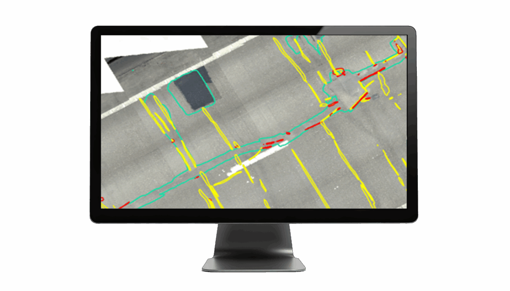
Yes. We work with the majority of UK water, electricity and gas asset owners, creating digital as-built records of underground infrastructure using precise GNSS, 3D scanning and GPR. In our Anglian Water case study, this data-led approach quadrupled field data understanding and reduced the time taken to find solutions to long-standing flooding problems.
How can Mapping & GIS technology be used for event management?
Tools such as Trimble Catalyst and drone-based mapping allow event organisers to quickly and accurately set out fencing, barriers, stages, car parks and other infrastructure. Digital site plans simplify layout visualisation, crowd flow planning and contractor coordination, as demonstrated by 2Can Productions, who replaced tape measures and road wheels with Trimble GNSS and Soarvo software.
How does KOREC support archaeology and heritage survey work?
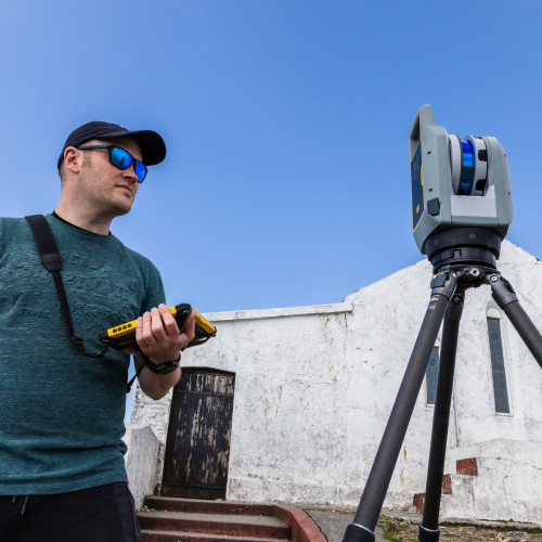
Using drones, laser scanners and ground-penetrating radar, we help heritage professionals capture aerial imagery, detailed 3D models of historic buildings and excavation sites, and precise geolocation data for finds. Solutions such as Soarvo make it easy to share dense point cloud data with clients and stakeholders without requiring specialist software.
Does KOREC provide training and support after implementation?
Yes. Alongside equipment supply, we offer hardware training, drone pilot training packages, technical support and ongoing assistance throughout the project lifecycle, plus free webinars, regular technical days around the country, and our prestigious 2-day KOREC and Trimble User Conference (KTUK).
How accurate are drone and GNSS-based surveys?
Accuracy depends on the workflow, but RTK positioning combined with ground control points typically enables centimetre-level results for most mapping and GIS applications. This level of accuracy is demonstrated across our case studies, from the Trimble Catalyst deployments at Agri-Soil and Forget-Me-Not-Fields to the Wingtra LiDAR surveys carried out by Survey Operations.