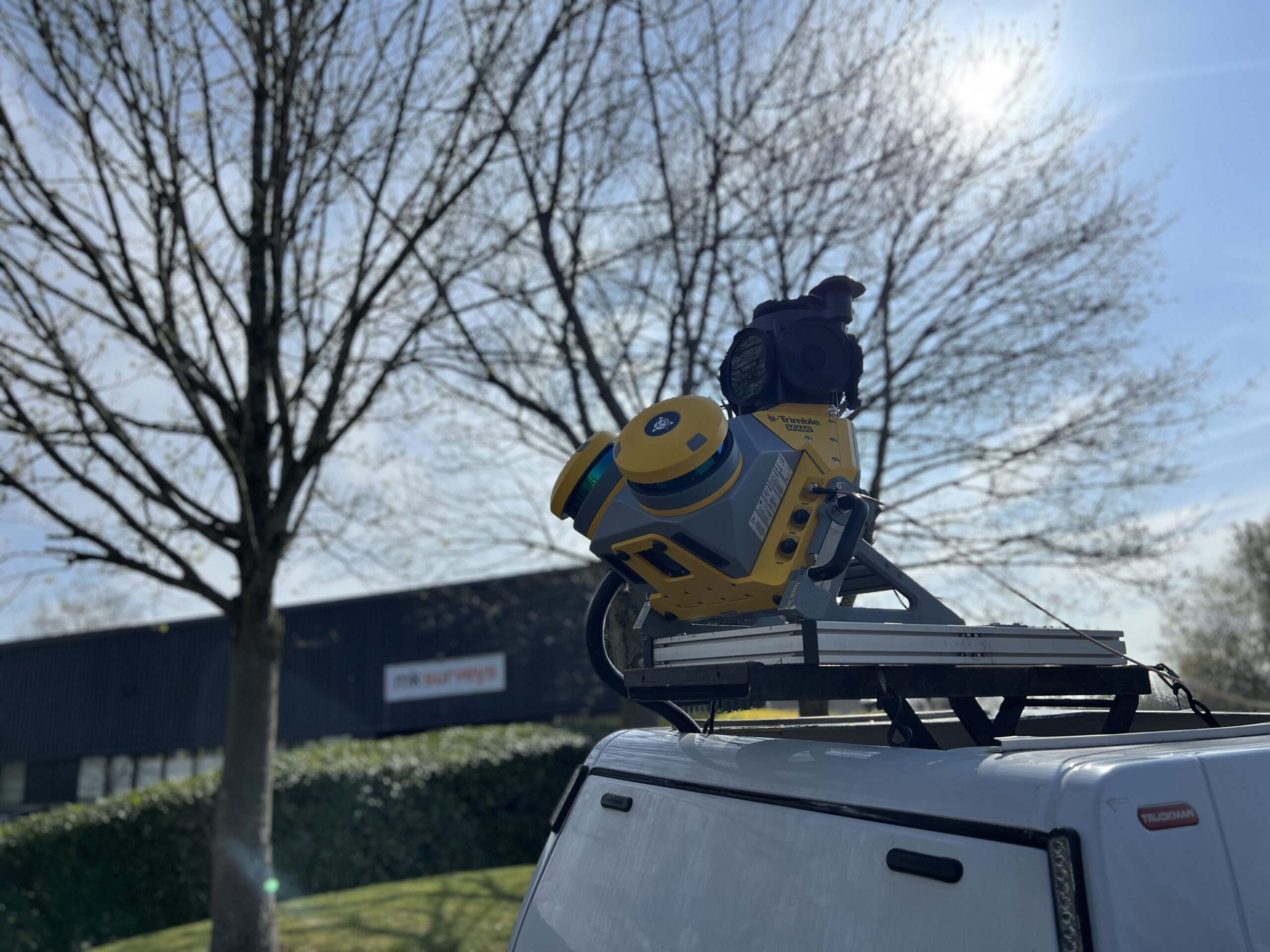
Balancing price and functionality
MK Surveys is maximising the value of its Trimble MX60 Premium system in two ways: by treating it as a precision survey tool rather than solely as a mobile mapping...
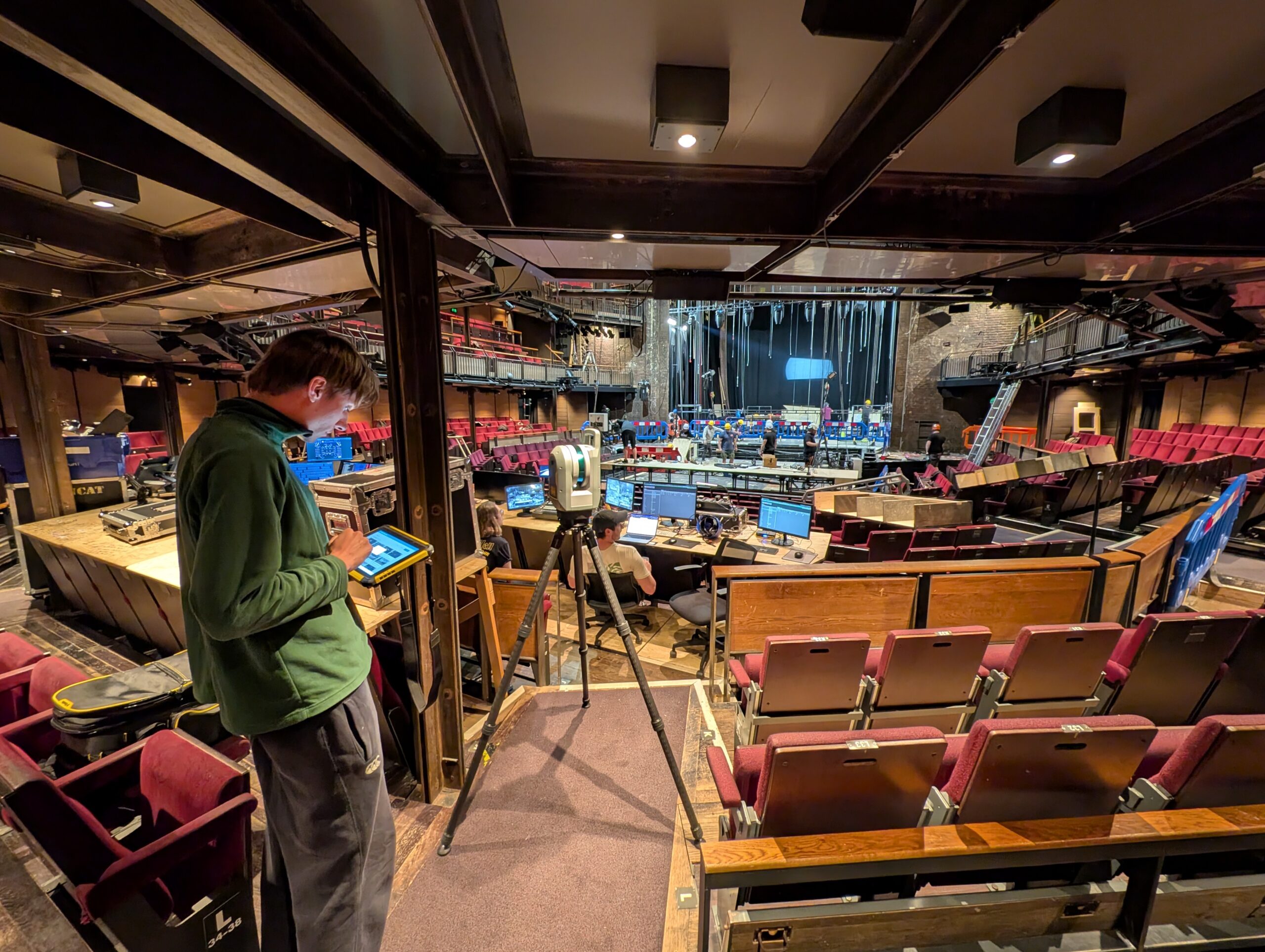
Spatial intelligence at the RSC
How the Royal Shakespeare Company is using a Trimble X9 Core LT 3D Laser Scanner to move beyond 2D plans and truly understand the 3D spaces they design for.
Extending fixed-wing value to smaller sites
Survey Operations has exploited its Wingtra GEN II drone’s interchangeable LiDAR/camera payloads and straight forward workflows to create impressive operational and data quality advantages, not just on large scale projects,...