Mapping & GIS




KOREC has been a trusted partner of the mapping and GIS industries for over 30 years. Innovative technologies combine with our deep expertise to deliver powerful, efficient workflows for mapping and GIS customers across the UK and Ireland.
As an early pioneer of GIS, survey and field data capture technology, KOREC has been committed to furthering the use of spatial data for over 30 years. Today, our specialised team of professionals brings over 100 years of combined mapping experience to the table. When it comes to mapping workflows, we’re dedicated problem solvers with extensive experience across a vast range of specialised industries – from Archaeology to Zoology and everything in between.
The KOREC difference is our end-to-end service. We provide workflows, UAVs, data controllers, GPS hardware, GIS software, cloud sharing platforms, training, support and much more – as little or as much as you require. We’re on hand throughout your project lifecycle to support your uptake and best use of new systems.
The KOREC Mapping & GIS offering:

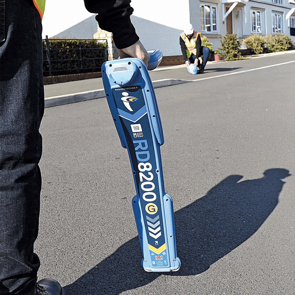
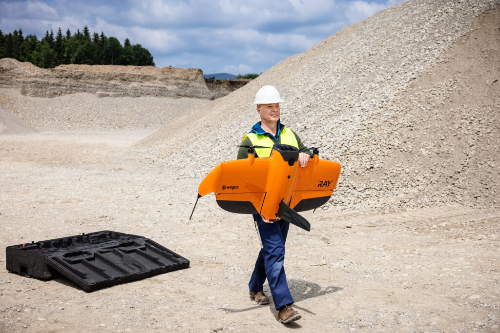
We are official distributors of leading brands including Trimble, DJI, Wingtra, Radiodetection, Soarvo, Propeller and many more. All our technology is supported by in-house expertise to help you master every nuance, and we can also draw on a global network of knowledge through our distributor partnerships. These successful relationships mean we can bring you technology and ideas ahead of the curve, keeping you capable and competitive.
Soarvo’s platform revolutionises and democratises geospatial data sharing
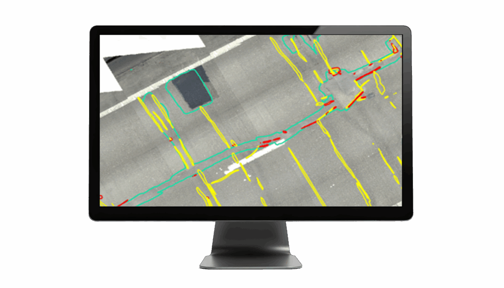
Terrasolid is the go-to industry standard for point cloud processing
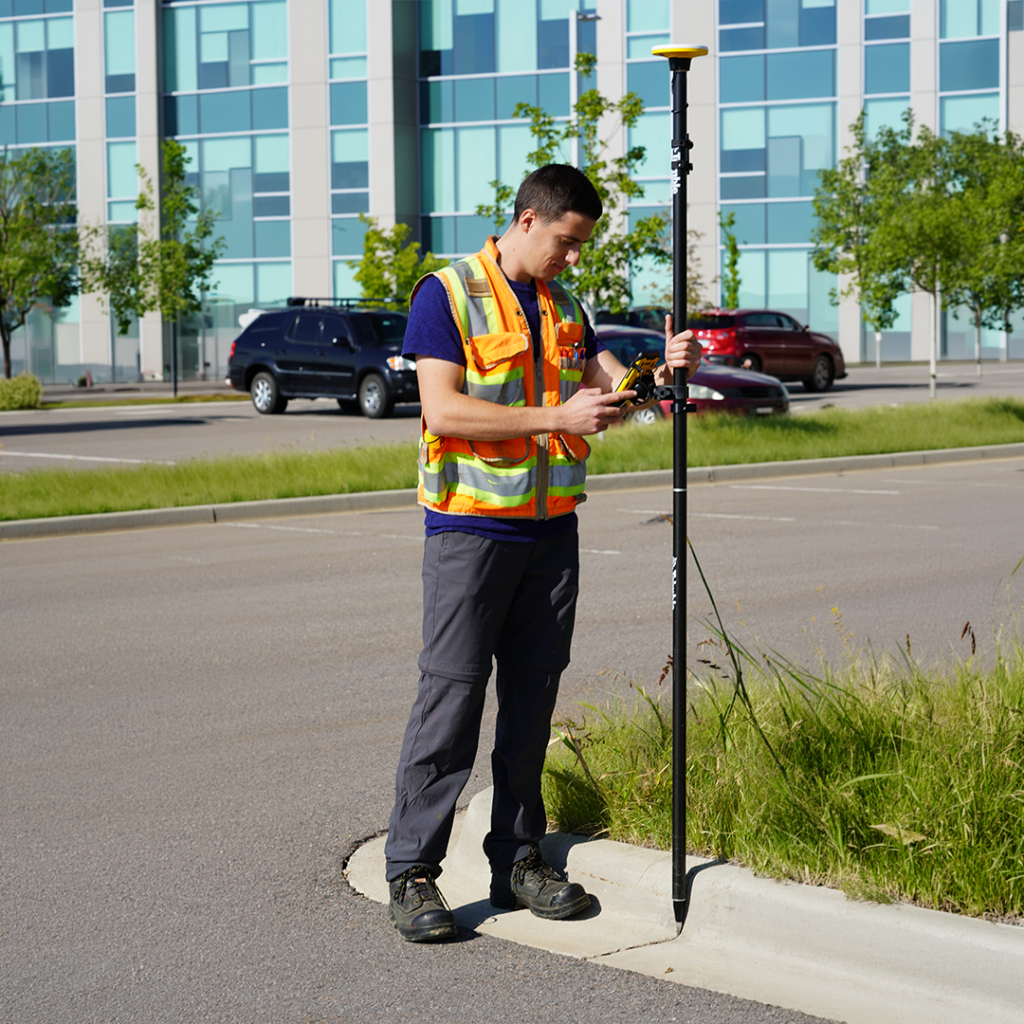
On-demand location precision
Trimble Catalyst, a flexible on-demand positioning system, integrates seamlessly with ArcGIS Field Maps and QGIS (via QField) workflows, and all our mapping solutions fully support Ordnance Survey data through OSGB36/British National Grid coordinates and OSTN15 transformations.
Mapping solutions
KOREC has a solution to make your projects efficient, effective, streamlined and sharable. Improve your data quality, make reporting easier, and streamline stakeholder engagement. Find out how KOREC customers use our technology to meet some very specific needs.
Click the links below to jump directly to your use case, or browse the full list below
Use Case
Mapping and GIS solutions empower effective environmental management, enabling organisations to monitor, manage and protect precious assets. By combining drone technology with industry-leading software, accurate GNSS, and AI enhancement, we make it easy to map, manage and monitor habitats and estates.
KOREC can facilitate a data-driven approach to nature reserves, national parks, SSSIs, animal sanctuaries, large estates and heritage sites which means better decision making and planning.
Examples include identification of at-risk habitats such as peat bogs, monitoring reforestation, accurate location tagging for predator and pest control, large area drone mapping for golf course maintenance, thermal imaging for species identification and much more.

A family farm has diversified into providing an expert soil sampling and analysis service as an independent alternative to large agricultural chemical companies. At the core of their testing process is a cost-effective Trimble GPS system delivering guaranteed accuracy.
“The flexibility of the Catalyst subscription model also allows us to explore new applications and opportunities helping our business to continue growing.”
Read the case studyUsing Trimble Catalyst to accurately map plots on their natural burial ground, Forget Me Not Fields has found a perfect balance between efficiency and tranquillity amongst the wildflower meadows.
“If I had to highlight one standout benefit of the system, aside from the customer service from KOREC, it would be its ease of use….This maximises my time in the field, which is crucial when we’re such a small but busy team.”
Read the case studySurvey Operations exploited its Wingtra drone’s interchangeable LiDAR/camera payloads and straight forward workflows to create impressive operational and data quality advantages on smaller sites such as a 58 hectare golf-complex project.
The result: improved efficiency, reliable repetitive accuracy, significant operational gains and superior quality deliverables for the client.
“The Wingtra’s coverage is remarkable. I can stay airborne for nearly an hour, fly lower, increase overlap and ultimately produce better data. Even on smaller sites, those advantages remain: faster delivery, higher quality and far greater efficiency.”
Read the case studyUse Case
KOREC works with the majority of UK water, electricity and gas asset and infrastructure owners. We specialise in developing digital workflows that ensure asset data is captured consistently and accurately, kept up to date, and powers easy and confidential information sharing.
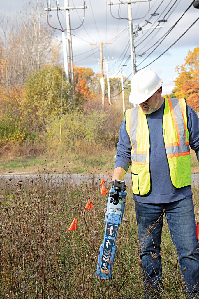
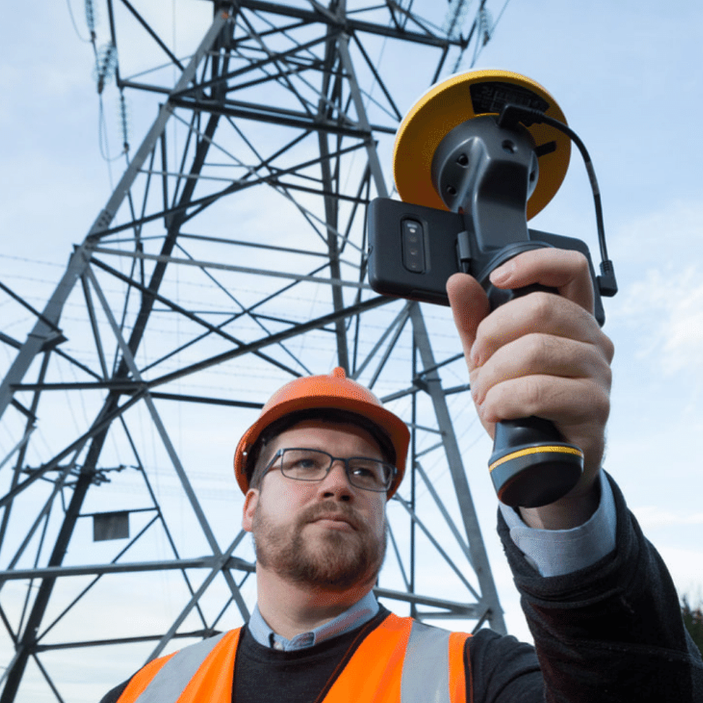
We’ll help you efficiently manage, maintain and modernise utility assets, even when working with legacy asset databases. With increasing regulatory demands for accuracy and detail, KOREC make it easy to undertake new installations, routine maintenance and system renewals with precise GNSS, accurate 3D and GPR scanning, augmented reality visualisation and easy cloud-based data sharing.
Create digital as-built records of your underground infrastructure, with the digital records captured in the field and updated seamlessly, ensuring asset information is always current and easy to share across teams and stakeholders. By combining historic records with new data, you can improve data quality, consistency, and visibility, streamlining your entire workflow, ultimately making asset management more efficient than ever.
We even have the technology that enables the visualisation of design changes on the ground.

Anglian Water Services is solving complex and long-standing flooding problems through a data led approach and astute use of low cost, centimetre accurate, GNSS field data capture using Trimble Catalyst.
“We’ve quadrupled our data understanding and are now finding solutions to flooding in just a fraction of the time it took previously. Working with KOREC, we’ve been able to adapt our field data solution into exactly the system we need.”
Read the case studyUse Case
Streamline event planning and site setup for everything from local fairs and fetes, to festivals, and multi-day outdoor events. Using tools like Trimble Catalyst and drone-based mapping, organisers can quickly and accurately set out fencing, barriers, stages, car parks and other infrastructure, without relying on slow, imprecise methods like road wheels.
Digital site plans make it easy to visualise layouts, optimise crowd flow, comply with safety and accessibility regulations and coordinate with contractors and stakeholders. With real-time positioning and the ability to capture and update site data on the fly, you can adapt to last-minute changes, avoid costly mistakes, and ensure your event runs smoothly from planning to teardown.

How 2Can Productions graduated from using a tape measure, road wheels and string to Trimble’s groundbreaking Catalyst GNSS system and Soarvo software for accurate event planning and setting out.
“The system has proved to be instrumental in our ability to foresee numerous issues, ranging from documenting an underground service beneath a ridge that could have disrupted stage construction to accommodating highly intricate urban designs, such as the logistical challenges presented by the Cardiff half-marathon.”
Read the case studyImage Surveys used Soarvo, a cloud-based 3D geospatial platform, to make 3D drone data interactive and easy to share for all of an events management team.
“The KOREC team was extremely responsive from the off and clearly understood my requirements. ….I looked at maybe 20-30 software options but whether they cost £1,500 or £4,500, nothing quite fitted until now – Soarvo definitely hit the sweet spot.”
Read the case studyUse Case
We’re trusted by some of the biggest names in the business such as English Heritage and the National Trust. Our aim is to help them simplify and support the conservation, management and security of archaeological and heritage sites with highly accurate, accessible data.
Using drones, laser scanners and ground-penetrating radar, we help you capture everything from aerial imagery to detailed 3D models of historic buildings, landscapes, and excavation sites. These tools make it easy to plan and manage digs, record finds with precise geolocation and create permanent digital archives that can be shared with researchers, conservationists, and stakeholders.
With high-resolution data and 3D visualisations, heritage professionals can monitor site conditions, track changes over time and make informed decisions about preservation and public engagement, all while reducing the risk of site disturbance.
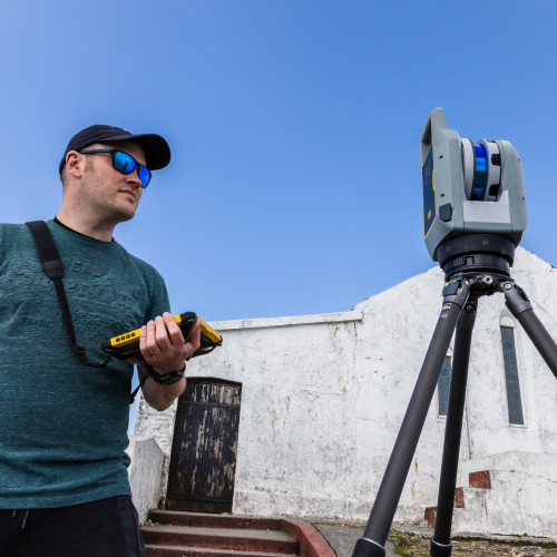
During the Second World War, many bunkers were built across England, often underground, to serve a range of purposes from coastal defence and civilian protection to housing early-warning radar systems. One such structure lies beneath a private garden on the Norfolk coast. The property’s owner set out to answer a pressing question: “Where exactly does the bunker lie and how close is it to the eroding cliff edge?”
“Soarvo contributed to this project massively! Being able to load a very dense point cloud and have clients able to visualise it so easily without any proprietary software is amazing.”
Read the case studyUse Case
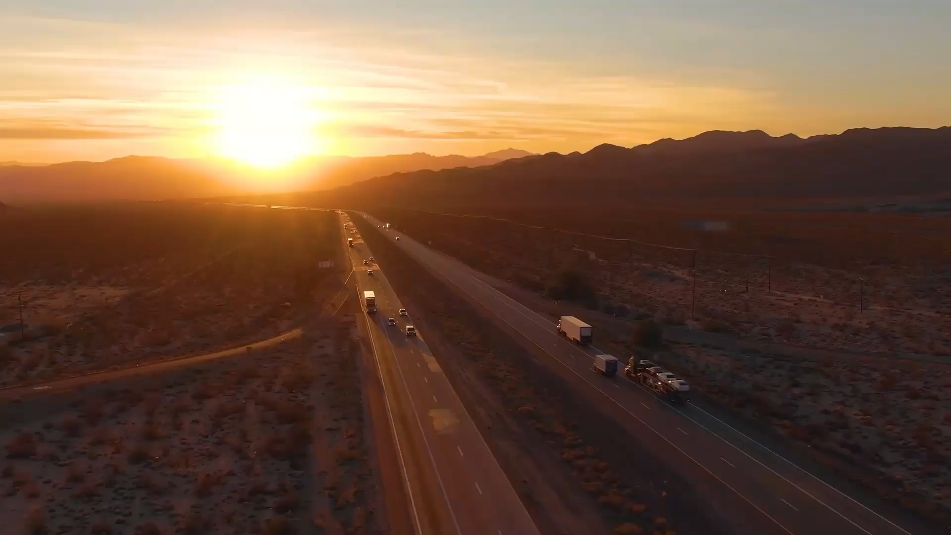
KOREC delivers comprehensive mapping and GIS solutions to the highways sector, supporting National Highways, local authorities and contractors in asset management, maintenance, and infrastructure projects. Our solutions reduce costs, improve safety and deliver actionable insights for better road network management. Keystone technology includes Trimble MX Mobile Mapping Systems for road condition surveys, field data capture solutions for asset management and data handling GIS software.
“Using the KOREC data capture app functionality, we can now achieve the same amount of work in just one shift saving us around £20k on each 5km stretch.”

Highways magazine talks to KOREC, National Highways and AECOM about the new age of highway asset management under the concrete roads programme. Layers upon layers of data, processed by AI, are helping build a digital twin of the strategic road network supported by cutting-edge mapping technology. This video is a treasure trove of information on the how, why, where…and everything else.
View the videoThis article examines why the work that National Highways, KOREC and AECOM have done to create an end-to-end digital system through the concrete roads programme is not just about upgrading a legacy asset, but about establishing a new legacy – the very future of highway maintenance.
Read the articleUse Case
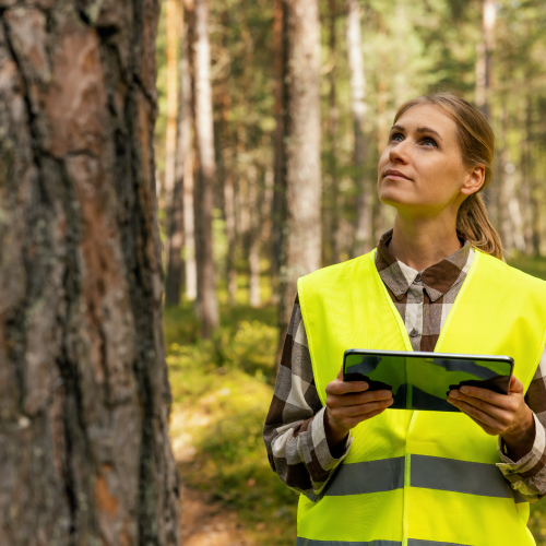
Our mapping and GIS systems help forestry professionals measure, map, inventory, monitor and manage forests more efficiently, especially in challenging conditions like dense canopies and remote terrain. In particular, our easy-to-use tree survey and management software for arboriculturists includes rapid tree assessment and recording through pre-configured collection forms for BS5837:2012 compliant Tree Surveys.
KOREC’s drone offering is also well suited to forestry applications, with a choice of LiDAR payloads or multispectral cameras for vegetation health monitoring.
All our solutions are supported by the KOREC team, which includes a dedicated specialist with decades of experience in the forestry sector.
Use Case
KOREC solutions help telecoms operators and contractors reduce costs, speed up deployments (especially FTTP/fibre-to-the-premises), improve data accuracy, minimise disruptions, and maintain compliant, up-to-date asset records.

Use Case
KOREC supports local government (councils, local authorities) through our GIS, Mapping and broader geospatial solutions including Mobile Mapping. These help councils efficiently manage public assets, plan services, meet regulatory requirements, and deliver better outcomes for residents.
Our experience goes back over 30 years with the development of our first GIS and data capture systems. Since then, we’ve worked with a range of departments and specialise in customised workflows depending on the specific needs of each project.
In particular, Local Authorities rate our responsive Technical Support team.
“KOREC has been extremely receptive to our needs and the team is proactively working with us to further develop the portal.”
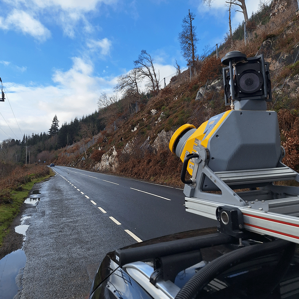
Derbyshire County Council is successfully implementing a mobile mapping strategy allowing it to take full control of all its asset data capture. Top benefit: Avoidance of clashing works – everyone is working from the ‘single source of truth’ rather than disparate datasets.
Read the case studyExplore our top-rated mapping and GIS equipment, chosen by professionals for its precision, reliability, and performance in the field.
Mapping GIS information
KOREC has specialised in geospatial data capture, GIS and mapping workflows for over 30 years, with a team bringing more than 100 years of combined experience. We help organisations capture, manage and use spatial data end-to-end, combining GNSS, drones, GIS software, mobile mapping, consultancy, training and support, across sectors from environmental management to utilities, events and heritage.
KOREC is an official distributor for Trimble, DJI, Wingtra, Radiodetection, Soarvo and Propeller, giving access to GNSS, UAV, GIS and data-management platforms from a single integrated supplier, backed by in-house expertise and a global distributor network.
Fixed wing and rotary drones, mapping GNSS systems, mobile mapping, laser scanning, ground-penetrating radar (GPR), and cloud-based data capture, handling and sharing software, all supported by consultancy, training and customised, industry-specific workflows.
KOREC adds workflow design, consultancy, training and UK and Ireland-based support around the hardware, turning data capture into a working, supported process rather than a standalone purchase. Our case studies, from a family-run soil sampling business to Anglian Water, show this in practice rather than just in theory.
Yes. We support the full workflow from field data capture through processing, visualisation, GIS integration, cloud sharing and operational decision-making, not just the hardware stage. Our solutions are compatible with leading GIS platforms and data standards, and our team will help configure the right workflow for your organisation’s existing systems.
Drone mapping, GNSS positioning and GIS software combine to monitor habitats, manage estates, track environmental change and improve reporting for sites such as SSSIs and nature reserves, including peat bog risk assessment and reforestation monitoring to species identification via thermal imaging and large-area golf course maintenance surveys.
Yes. We work with the majority of UK water, electricity and gas asset owners, creating digital as-built records of underground infrastructure using precise GNSS, 3D scanning and GPR. In our Anglian Water case study, this data-led approach quadrupled field data understanding and reduced the time taken to find solutions to long-standing flooding problems.
Tools such as Trimble Catalyst and drone-based mapping allow event organisers to quickly and accurately set out fencing, barriers, stages, car parks and other infrastructure. Digital site plans simplify layout visualisation, crowd flow planning and contractor coordination, as demonstrated by 2Can Productions, who replaced tape measures and road wheels with Trimble GNSS and Soarvo software.
Using drones, laser scanners and ground-penetrating radar, we help heritage professionals capture aerial imagery, detailed 3D models of historic buildings and excavation sites, and precise geolocation data for finds. Solutions such as Soarvo make it easy to share dense point cloud data with clients and stakeholders without requiring specialist software.
Yes. Alongside equipment supply, we offer hardware training, drone pilot training packages, technical support and ongoing assistance throughout the project lifecycle, plus free webinars, regular technical days around the country, and our prestigious 2-day KOREC and Trimble User Conference (KTUK).
Accuracy depends on the workflow, but RTK positioning combined with ground control points typically enables centimetre-level results for most mapping and GIS applications. This level of accuracy is demonstrated across our case studies, from the Trimble Catalyst deployments at Agri-Soil and Forget-Me-Not-Fields to the Wingtra LiDAR surveys carried out by Survey Operations.
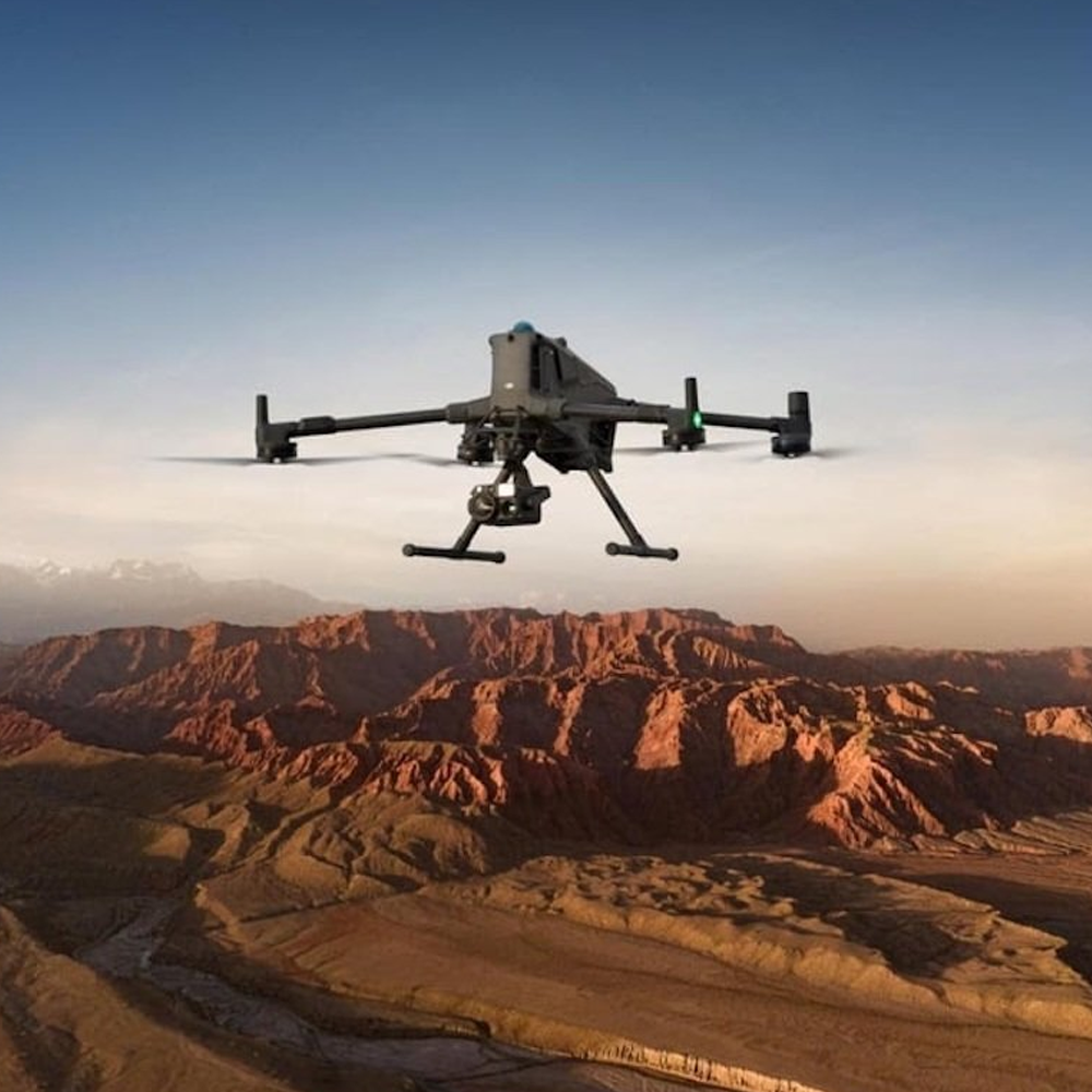
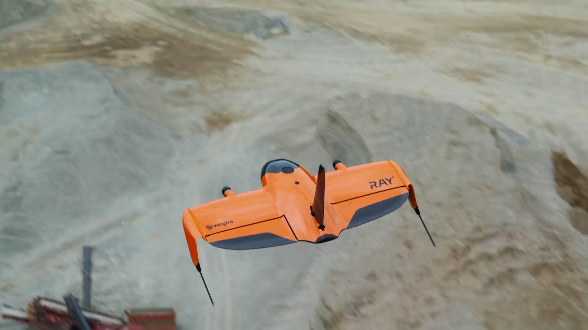
Discover the common challenges when adding UAV survey and mapping drone technology to your business. Learn what to consider and how to overcome them
Explore the key benefits, applications, and best practices that separate a high-quality drone survey from one that simply generates a large volume of data.
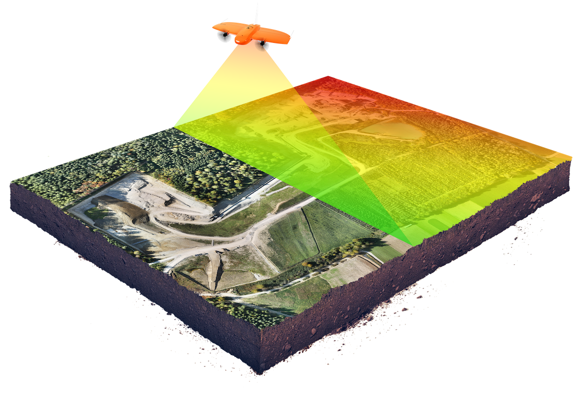
Discover the full UAV 3D mapping workflow, from mission planning and data capture through to processing, georeferencing, and client-ready deliverables.
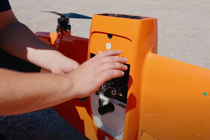
Upgrade your workflow and boost equipment ROI with our training courses
Ask a question
At KOREC, TRUST is at the heart of everything we do. Our promise is simple: to be Transparent, Reliable, Understanding, Supportive, and Timely in every interaction. That means being open and honest with you, delivering on our word, listening to your needs, and always being there when you need a hand. We know your time matters, so we focus on getting things right quickly and efficiently. For us, building trust isn’t just a promise — it’s the way we create lasting partnerships.
Talk to us to discover how easy it can be to bring mapping and GIS capabilities into your organisation.