Laser Scanner Accuracy: What You Need to Know
Discover what laser scanner accuracy really means, what affects it in the field, and how to choose the right scanner for your application.


Discover what laser scanner accuracy really means, what affects it in the field, and how to choose the right scanner for your application.
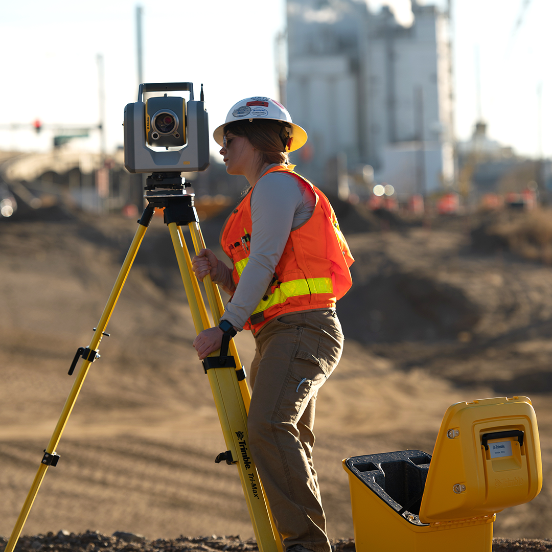
Laser scanner accuracy is one of the most frequently cited and least clearly understood figures in the geospatial equipment market. Manufacturers publish impressive-sounding specifications, but those numbers come with important context that is not always explained alongside them. Understanding what accuracy figures actually mean, what affects them in the field, and what level of accuracy your application genuinely requires will help you choose the right scanner, use it correctly, and produce results you can stand behind. This guide works through the key concepts without unnecessary complexity, using equipment from the KOREC laser scanning range as practical reference throughout.
These two terms are often used interchangeably in marketing material, but they describe different characteristics. Accuracy is how close a measurement is to the true value: a scanner with high accuracy produces results that are correct. Precision is how repeatable a measurement is: a scanner with high precision produces consistent results on repeated measurements of the same point, even if those results are slightly offset from the true value. The ideal scanner has both, but the distinction matters when evaluating specifications. A scanner that consistently returns the same slightly wrong answer is precise but not accurate. A scanner that averages to the correct value but with significant variation between individual points is accurate but imprecise. In practical laser scanning, both matter: you need results that are repeatable and close to reality.
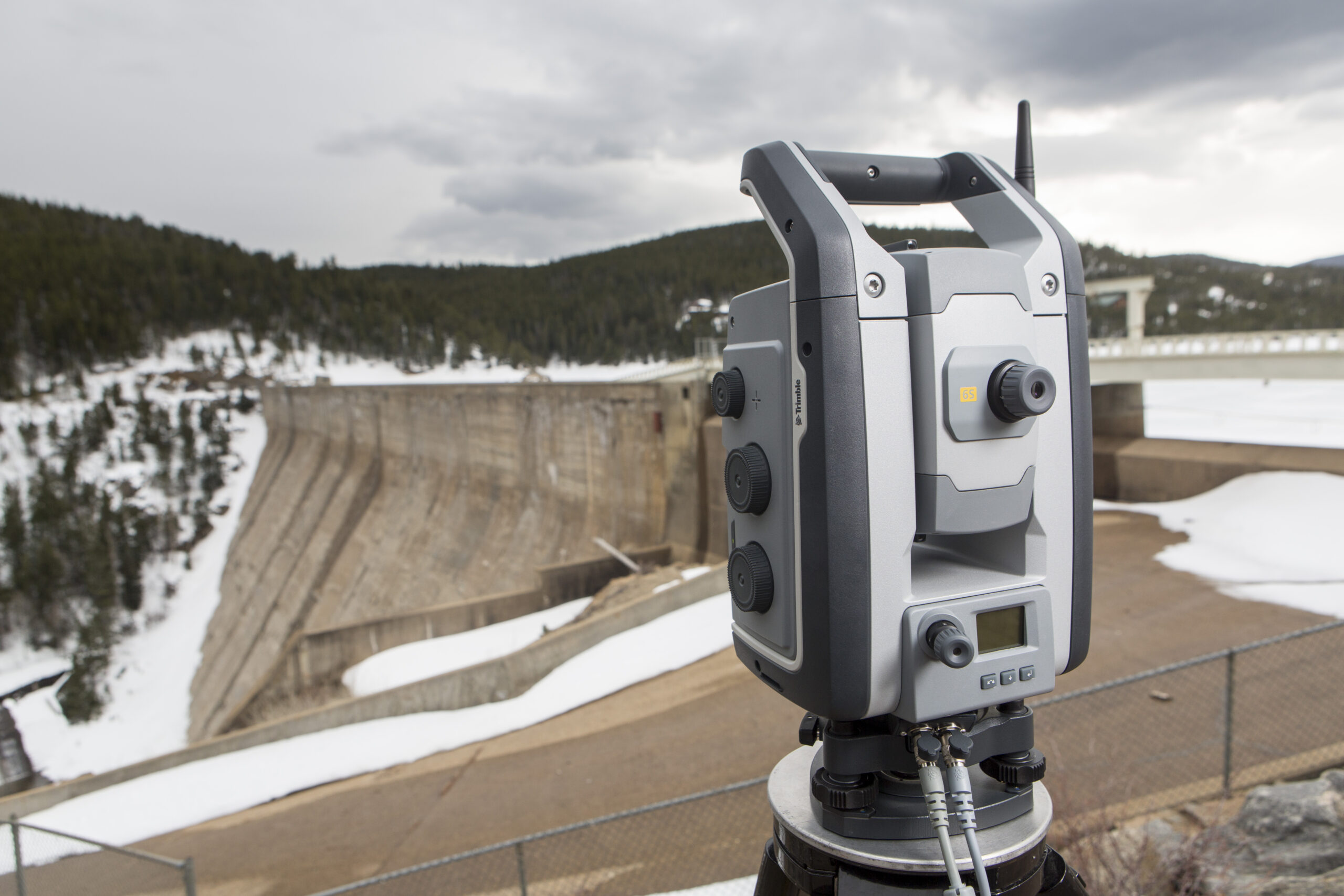
Range accuracy describes how accurately the scanner measures the distance to each point. It is typically expressed as a figure in millimetres at a given distance, for example 2 mm at 10 m or 3.5 mm at 100 m. Some manufacturers express this as a single figure measured under controlled laboratory conditions; others provide a graph showing how range accuracy degrades with distance. The figure that matters for your work is the one at the distances you actually scan from, not the headline number measured at the most favourable range.
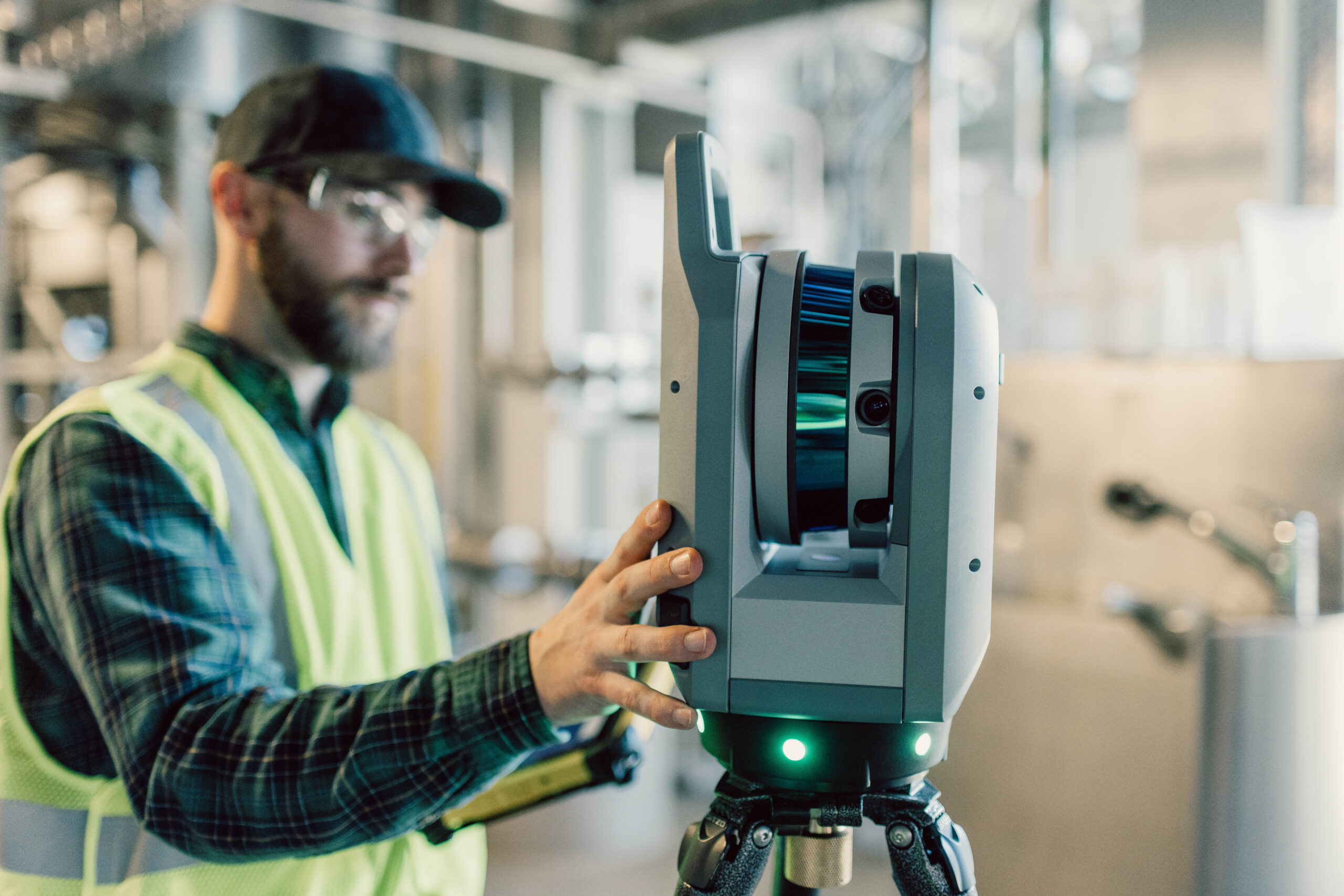
A laser scanner captures each point by firing a laser at a specific horizontal and vertical angle. Angular accuracy describes how precisely those angles are measured, and it determines the positional accuracy of each point in the horizontal and vertical planes independently of range. Angular accuracy is expressed in arc seconds or milliradians and becomes increasingly important at longer ranges: a small angular error that produces a sub-millimetre positional error at 5 metres will produce a much larger error at 50 metres. The improved angular accuracy of the Trimble X9 compared to the Trimble X7 is one of the most significant specification advances between the two generations, directly improving point cloud quality on larger sites and long-range scans.
3D point accuracy is the combined result of range accuracy and angular accuracy, expressed as the expected positional error of individual points in three-dimensional space. This is the most practically meaningful accuracy figure for most applications, as it directly describes how well the point cloud represents the real geometry of what was scanned. Published 3D point accuracy figures are typically measured under ideal conditions: good target geometry, moderate range, clean surfaces, and stable temperature. Real-world performance will generally be somewhat lower than the published figure, which is why understanding what affects accuracy in the field is as important as reading the specification sheet.
Laser scanners measure range by timing the return of a reflected laser pulse. Surfaces that absorb or scatter laser light, such as matt black materials, wet surfaces, or translucent glass, return weaker signals that are harder to measure accurately. Highly reflective surfaces such as polished metal or mirror glass can cause saturation effects that also degrade accuracy. The Trimble X9 is specifically engineered for high sensitivity data capture, which improves performance on difficult surfaces including asphalt, dark materials, and highly reflective finishes that challenge conventional scanners.
When a laser strikes a surface at a shallow angle, the returned signal is weaker and the effective footprint of the beam on the surface is larger, reducing the accuracy of the range measurement. Scanning perpendicular to a surface gives the best results; scanning at grazing angles introduces error. This is a particular consideration for floor and ceiling scans from a central scanner position, where the near-horizontal shots to the edges of the room are inherently less accurate than the near-vertical shots to directly above and below.
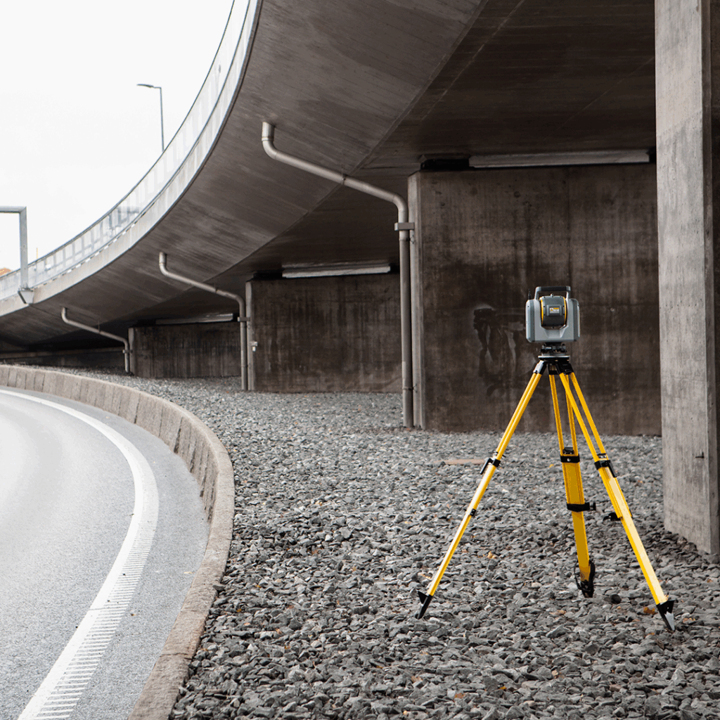
Accuracy degrades with distance: a scanner that achieves 2 mm accuracy at 10 metres will produce larger errors at 50 metres, and larger still at 100 metres. Keeping scan stations within an appropriate range for the required accuracy, and adding additional scan stations to maintain that range across large sites, is a basic but important workflow discipline. Scanner stability also matters: any movement of the instrument during a scan, whether from vibration, wind, or an unstable tripod, translates directly into errors in the point cloud.
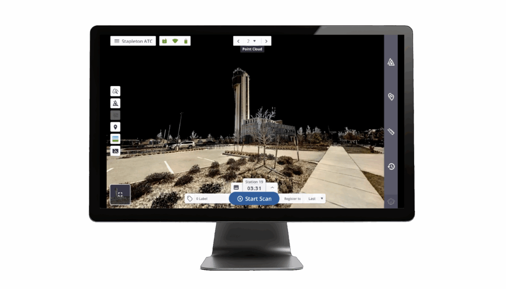
Most scanning projects involve multiple scan positions that must be stitched together into a single point cloud in a process called registration. Registration introduces its own error: if individual scans are accurate but the registration is poor, the combined dataset will not be. Registration accuracy depends on the number and distribution of common reference points or targets between adjacent scans, the registration algorithm used, and the care taken in verifying the result. In-field registration, as available with Trimble Perspective software on the X7 and X9, allows errors to be identified and corrected on site rather than discovered back at the office when revisiting the site may not be possible.
Temperature changes cause dimensional changes in scanner components that can affect accuracy, which is why calibration is important and why scanning in rapidly changing thermal conditions is a risk factor. The Trimble X7 and X9 both feature automatic calibration that runs before each scan session, monitoring temperature, vibration, and other environmental parameters to maintain data integrity without requiring manual intervention or periodic sending to a service centre. The Trimble X7 was the first scanner to offer this capability, and it remains one of the most practically significant features in the Trimble range: one KOREC customer, Centara Ltd, calculated that the auto-calibration feature alone saved them in excess of £3,000 to £4,000 per year, eliminating the need to send their previous scanner abroad for calibration and hire a replacement instrument for the two to three months that process typically took.
Measured building surveys for existing building documentation, BIM as-built models, and renovation planning typically require accuracy in the range of 3 to 10 mm at the distances involved in indoor scanning. The Trimble X7 and X9 are both well suited to this work, with 3D point accuracy and in-field registration that support the level of detail required for floor plans, sections, and 3D models. The X9 extends the capability of the X7 with improved angular accuracy, higher image quality for coloured point clouds, and reduced range noise, making it the more capable option for larger or more complex buildings.
Construction applications span a wide range of accuracy requirements, from general progress documentation (where 10 to 20 mm is often sufficient) through to as-built verification against tight engineering tolerances (where 2 to 5 mm may be required). The Trimble SX12 scanning total station combines a high-accuracy total station with scanning capability in a single instrument, providing survey-grade angular and distance measurement alongside point cloud capture. This is particularly useful for construction control and setting-out applications where both precise coordinate measurement and comprehensive surface capture are needed in the same workflow.
Heritage recording and conservation documentation have accuracy requirements that vary with the scale and purpose of the project. Recording the overall geometry of a historic building for conservation management might be adequately served by 5 to 10 mm accuracy, while documenting fine decorative detail for restoration might require 1 to 2 mm. The key is matching the scanner specification to the smallest feature that needs to be reliably captured, accounting for the distances involved.
Forensic laser scanning of crime and collision scenes requires data that is not only accurate but defensible in court. The ability to demonstrate that an instrument was calibrated immediately before use, that the accuracy of the dataset is documented, and that the results can be independently verified are all important. The automatic calibration certification generated by the Trimble X7 each time it runs is directly relevant here: it provides a timestamped record of calibration status for each project, which is why the X7 has been adopted by Surrey Police, Sussex Police, and other forces across the UK.
The most persistent misconception is that published accuracy specifications represent what you will routinely achieve in the field. They do not: they represent the best-case result under controlled conditions. Real-world accuracy is always somewhat lower, and the gap between specification and achieved accuracy is larger for less experienced operators, more challenging environments, and less disciplined workflows. A well-operated scanner of modest specification in the hands of an experienced team often outperforms a flagship instrument used carelessly.
More data is also not automatically better data. A scanner that captures two million points per second produces four times more data than one capturing 500,000 points per second for the same scan, but it does not necessarily produce more accurate results: it produces a denser dataset that takes longer to process and store. Point density requirements should be set by the application: fine detail work needs a dense point cloud; topographic survey of open ground does not. Processing efficiency is itself a real-world accuracy issue, as errors introduced by mishandling large datasets in office software are not uncommon.
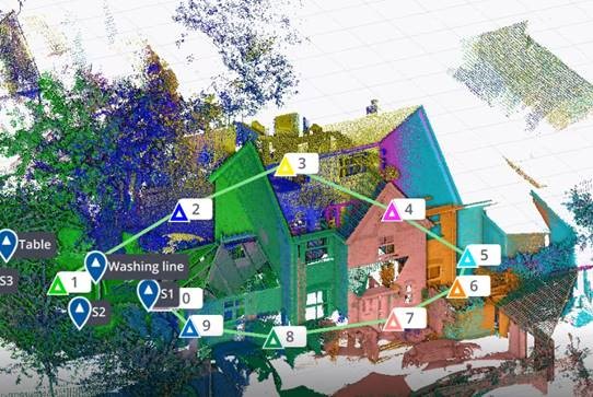
Planning scan station positions to keep ranges within an appropriate distance for the required accuracy, ensuring stable tripod placement on firm ground, and distributing registration targets evenly across the project area are the three most impactful things an operator can do to achieve results close to the instrument’s specification. Verifying registration quality in the field before leaving site, using in-field software such as Trimble Perspective, prevents the costly and sometimes impossible need to return. Keeping firmware current and following the manufacturer’s maintenance guidance ensures that the instrument continues to perform to its specification over its working life.
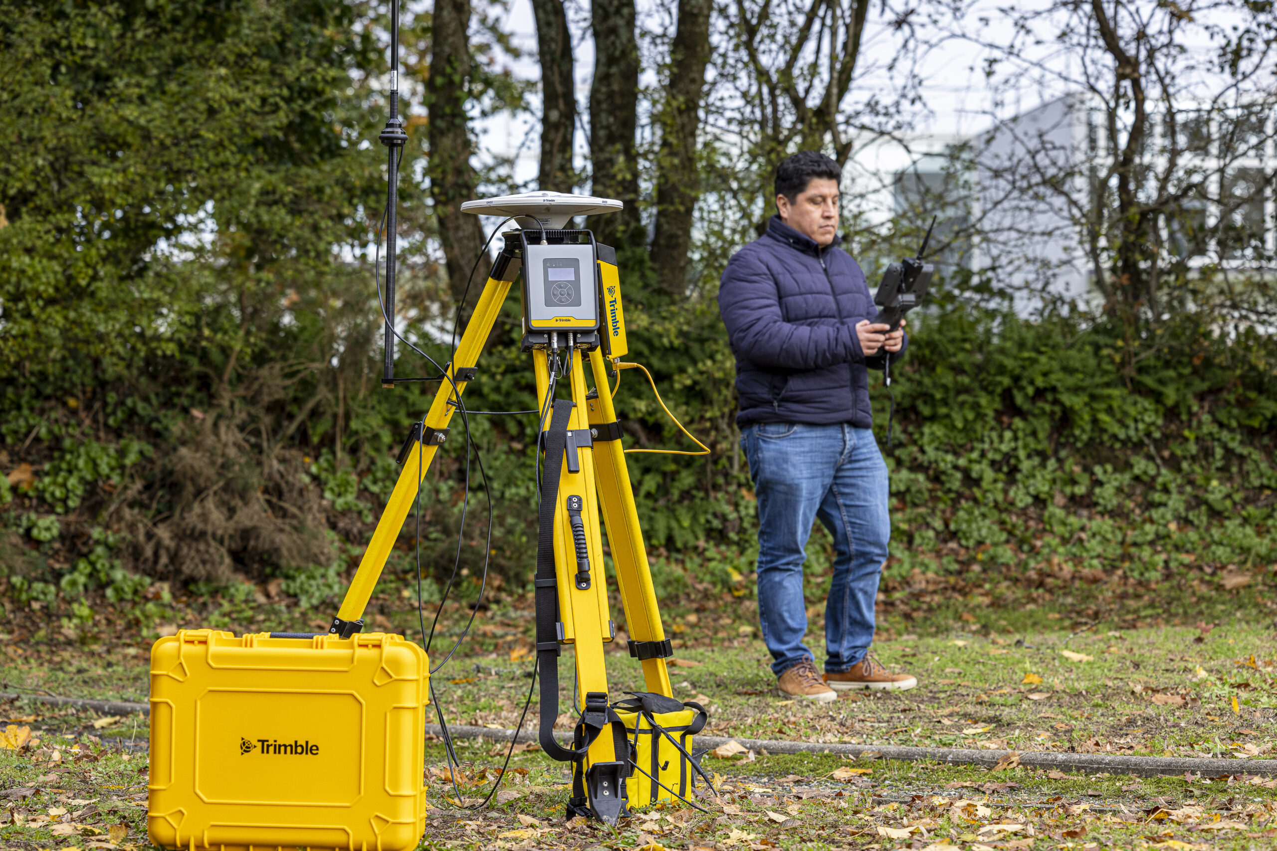
KOREC supplies the Trimble X7, X9, and SX12 scanning total station, alongside Trimble Perspective, Trimble RealWorks, and Trimble Business Center software, and a full calibration, repair, and support service from our UK and Ireland workshops. Whether you are adding scanning to your business for the first time or looking to understand the accuracy implications of your current workflow, our team is on hand to help. Explore the full laser scanning range from KOREC, or speak to us about applications in surveying, construction, and mapping and GIS.
KOREC can advise you on the right laser scanner for your project. Speak to our friendly experts today to get the right technology to solve your business challenges.