What Can You Do with a Total Station? Use Cases Explained
Discover the full range of total station applications, from construction and topographic surveying to archaeology, forensics, and structural monitoring.


Discover the full range of total station applications, from construction and topographic surveying to archaeology, forensics, and structural monitoring.
Ask most people outside the surveying industry what a total station is used for and the answer will usually involve construction sites. That is understandable, but it tells only a fraction of the story. A total station measures horizontal angles, vertical angles, and distances from a single setup point, combining a theodolite and an EDM unit with an onboard computer that calculates precise three-dimensional coordinates in real time. That core capability turns out to be useful in a remarkably wide range of disciplines, from road schemes to underground mines and archaeological excavations. This guide works through the principal use cases, explaining what the instrument brings to each.
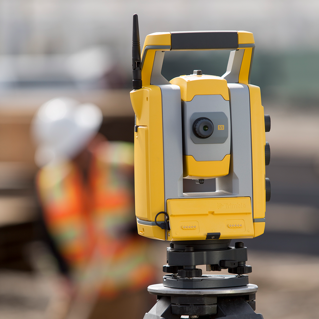
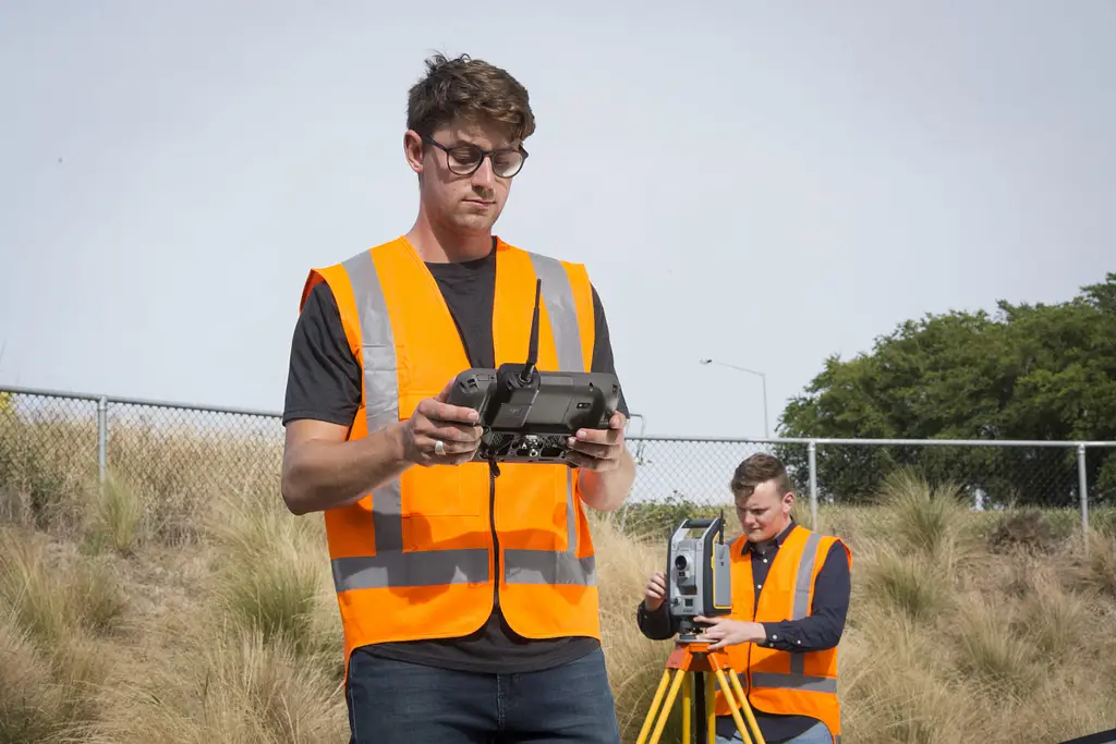
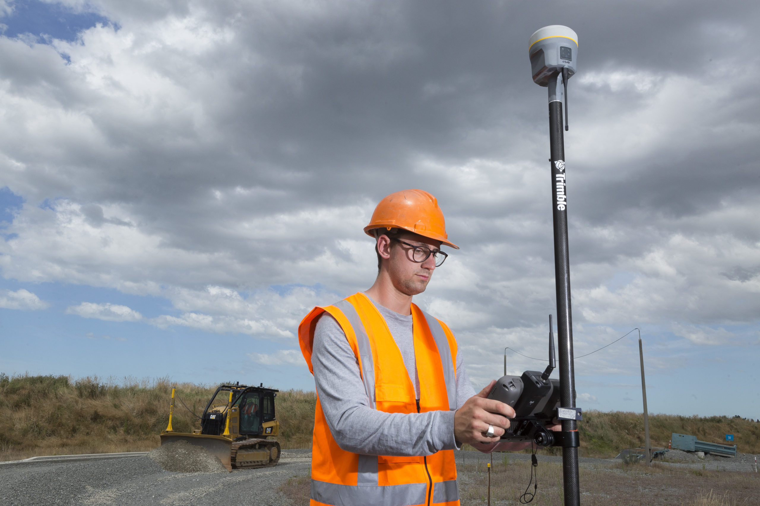
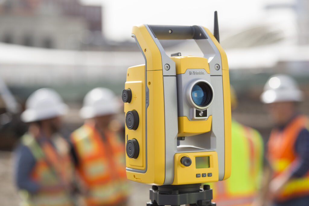
Construction is where most total stations earn their keep. Setting out involves translating a design from a digital model into physical marks on the ground that contractors can build from. A total station working directly from coordinate data loaded into field software can guide a prism pole holder to an exact design position instantly, with no manual calculation required. The process is fast, accurate, and leaves a clear audit trail of what was set out and when. Beyond initial layout, total stations are used throughout a project for as-built verification: confirming that what has been built matches the design and identifying deviations before they create problems for the next phase of work. The Trimble S5 is a capable and practical choice for most construction setting out and verification work, offering the reliability and field software integration that site teams depend on.
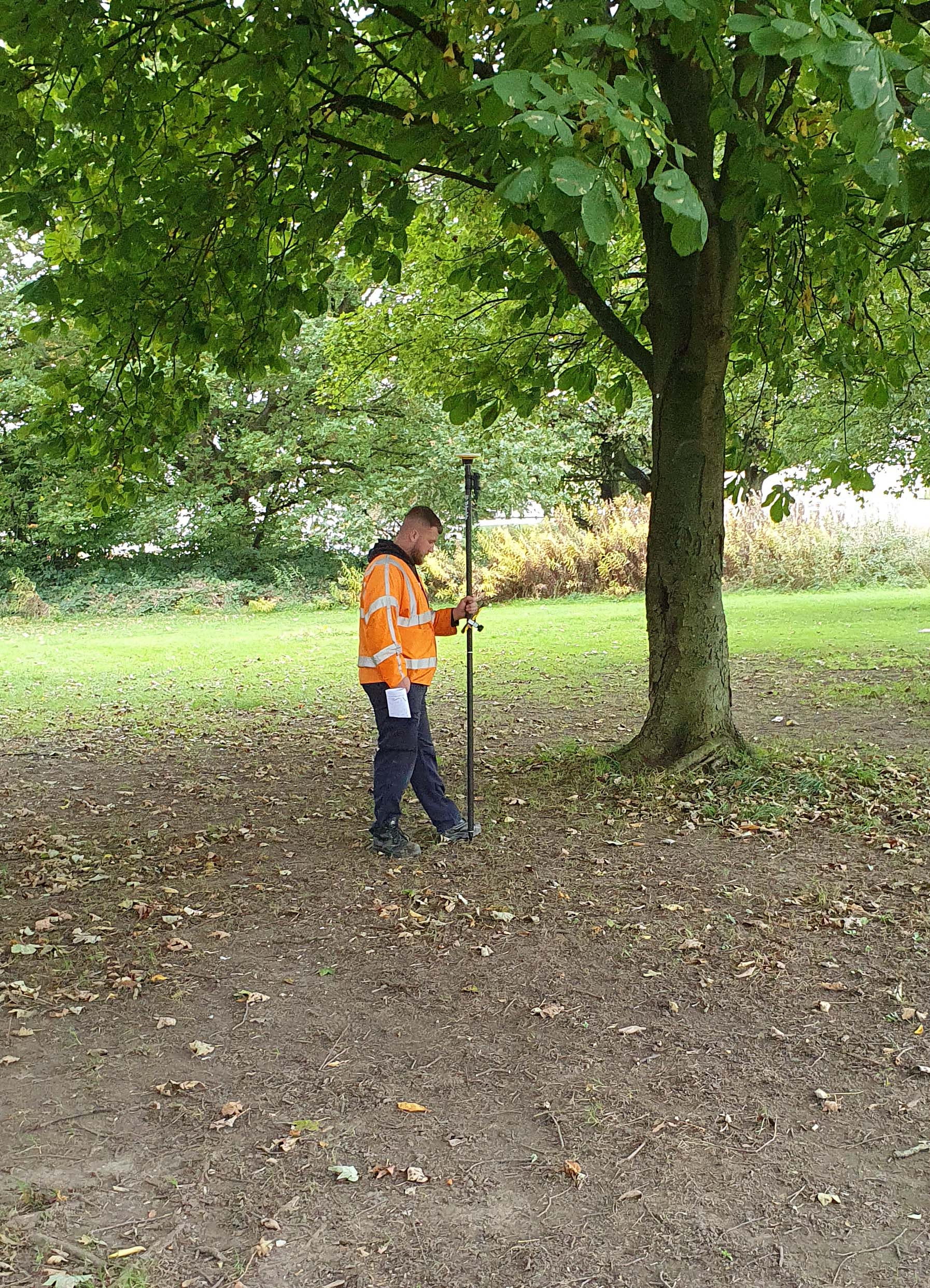
Topographic surveys create a detailed record of the shape and features of a piece of land: ground levels, surface features, existing structures, trees, drainage, and bounding features. A total station is well suited to this work because it can measure a large number of points quickly from a single setup, each recorded in three dimensions with high accuracy. On sites with good intervisibility, a robotic total station such as the Trimble S5 or S7 gives a single surveyor the ability to cover ground efficiently without a second person at the instrument. The resulting dataset feeds directly into contour plans, digital terrain models, and base drawings for design. Topographic surveys underpin almost every construction, development, and infrastructure project, as well as supporting planning applications and mapping and GIS workflows.
Linear infrastructure projects present a particular set of surveying challenges: they extend over long distances through varied terrain and require consistent accuracy from one end of the scheme to the other. For road schemes, total stations establish horizontal and vertical alignment, set out drainage structures and bridge abutments, and verify finished levels as construction progresses. For buried infrastructure such as pipelines and utilities, total stations record as-laid positions to create an accurate asset register that protects against accidental damage during future excavation works.
Rail surveying has its own specialised requirements, including tight tolerances on track geometry and the need to work within possessions. Dedicated systems such as the Trimble GEDO range combine total station technology with specialised track measurement trolleys to capture geometry data rapidly and accurately during these controlled access windows.
Underground environments present some of the most demanding surveying conditions imaginable. Total stations are central to establishing and maintaining the survey control network that orientates all other underground measurements, determining the position of advancing tunnel faces, verifying that drives are progressing in the correct direction and gradient, and measuring extracted volumes for production reporting. Convergence monitoring, where the instrument tracks changes in tunnel and excavation dimensions over time, is a critical safety application that bridges underground surveying with the broader field of structural monitoring. For underground and open-pit mining work, the long range and robust build of the Trimble S9 make it a dependable choice in conditions where lesser instruments struggle.
Archaeology deals in context, and where an object is found, in relation to which layer of ground and at what position relative to surrounding features, is often as important as the object itself. A total station set over a control point tied into the national grid allows features, finds, and contexts to be recorded as they are uncovered, creating a precise spatial record that can be mapped and analysed without the distortions that accumulate in manual tape-and-offset recording. Total stations are also used in the survey of standing historic structures, capturing the precise positions and elevations of architectural fabric to produce the measured drawings that conservation architects need for repair and restoration work.
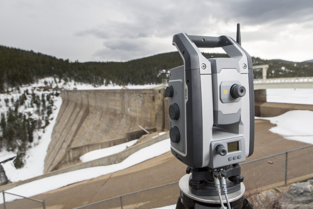
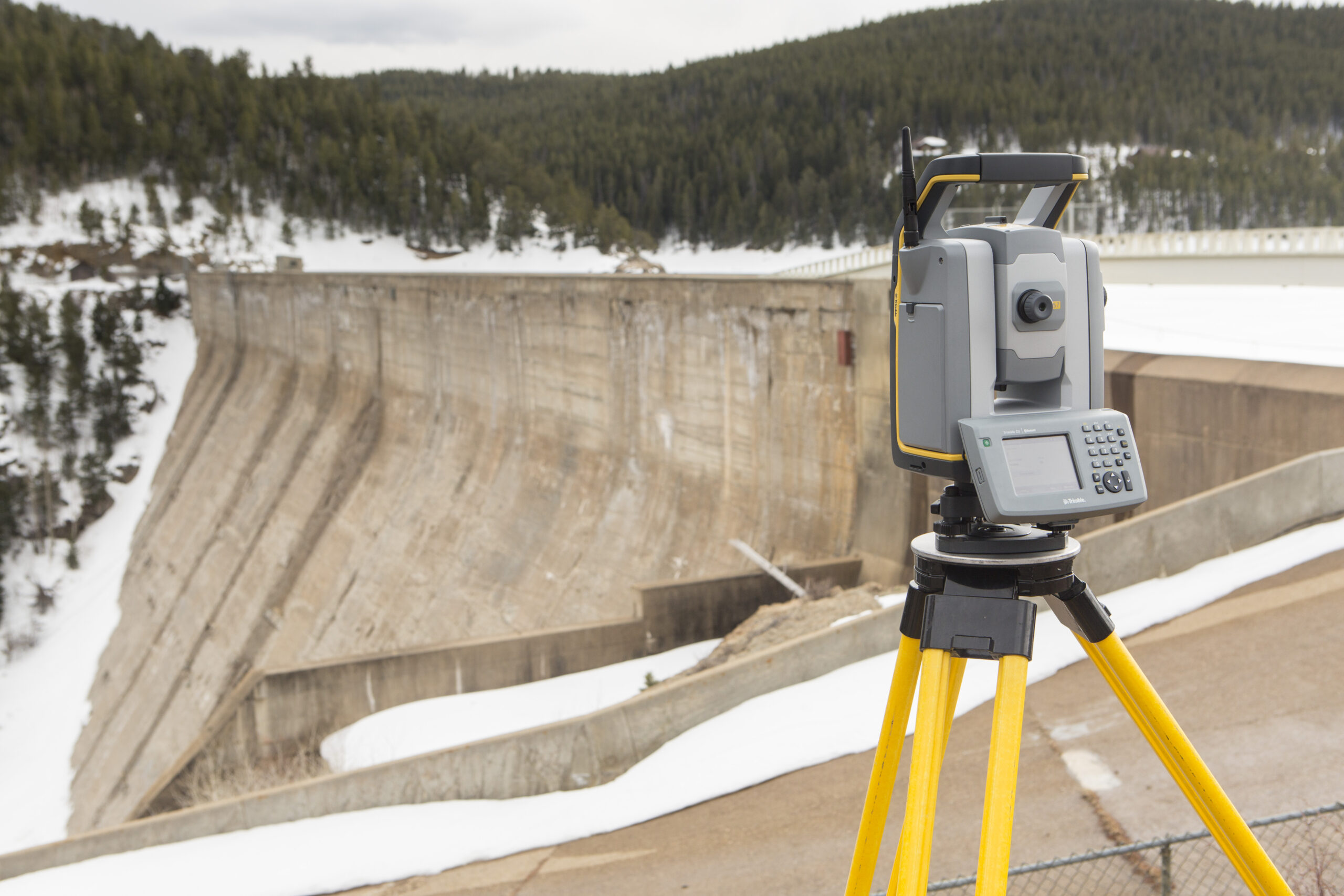
Structures move. Bridges flex under load, embankments settle, tunnels respond to adjacent construction, retaining walls shift as groundwater levels change. Understanding whether movement is within acceptable limits and detecting any unexpected acceleration in the rate of change, is essential for managing the safety of critical infrastructure. Robotic total stations can be programmed to measure to prism targets installed on a structure at regular intervals, automatically tracking positional change over time and feeding data to monitoring software that generates alerts if displacements exceed defined thresholds. The Trimble S9 HP offers angular accuracy of better than 0.5 arc seconds, enabling detection of movements of just a few millimetres at several hundred metres. This makes it the instrument of choice for tunnelling projects, bridge monitoring, dam safety programmes, and any application where millimetre-level sensitivity is non-negotiable.
For general construction setting out and topographic surveying, the Trimble S5 offers a practical balance of performance and value. For professionals who need to combine survey work with scanning or imaging, the Trimble S7 adds integrated scanning and VISION imaging to the same proven platform. For structural monitoring, precision engineering, and demanding underground applications, the Trimble S9 and S9 HP provide the accuracy and stability that millimetre-level work demands.
A well-specified total station, used by a competent operator with appropriate software, can genuinely serve multiple disciplines within the same organisation. KOREC supplies the full Trimble total station range across the UK and Ireland, backed by dedicated training, calibration, and service support. Speak to our team for tailored advice on the right instrument for the work you actually do.
KOREC can advise you on the right total station for your project. Speak to our friendly experts today to get the right technology to solve your business challenges.