Choosing a Robotic Total Station: Range, Accuracy and Features
Discover how to choose the right robotic total station for your projects, with practical guidance on matching specifications and features to the way you actually work.


Discover how to choose the right robotic total station for your projects, with practical guidance on matching specifications and features to the way you actually work.
Investing in a robotic total station is one of the most significant equipment decisions a surveying or construction professional will make. Get it right and you gain a faster, more flexible workflow that lets a single operator cover more ground with greater accuracy. Get it wrong and you end up with a specification that either holds you back on large sites or exceeds what your projects demand. This guide explains what the key specifications and features mean in practice, and how to match them to your project type. To explore the full range of options available from KOREC, visit our total stations page.
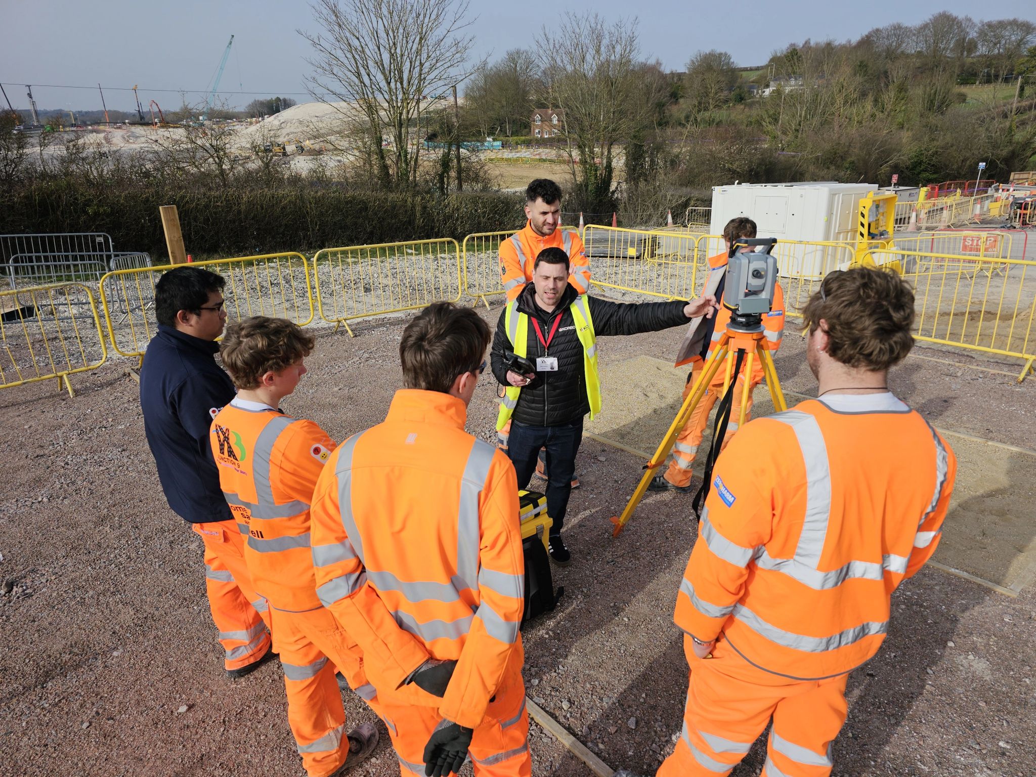
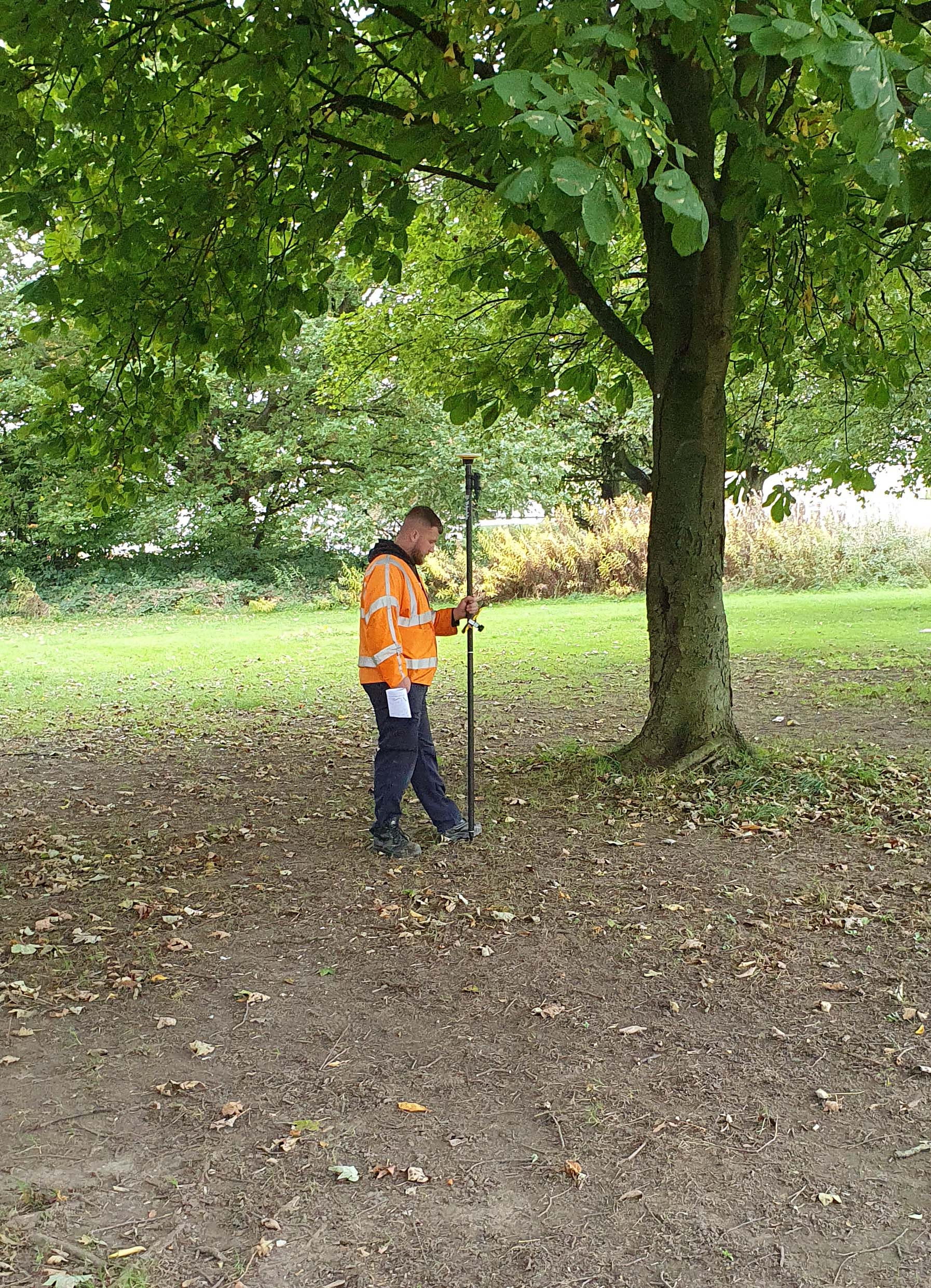
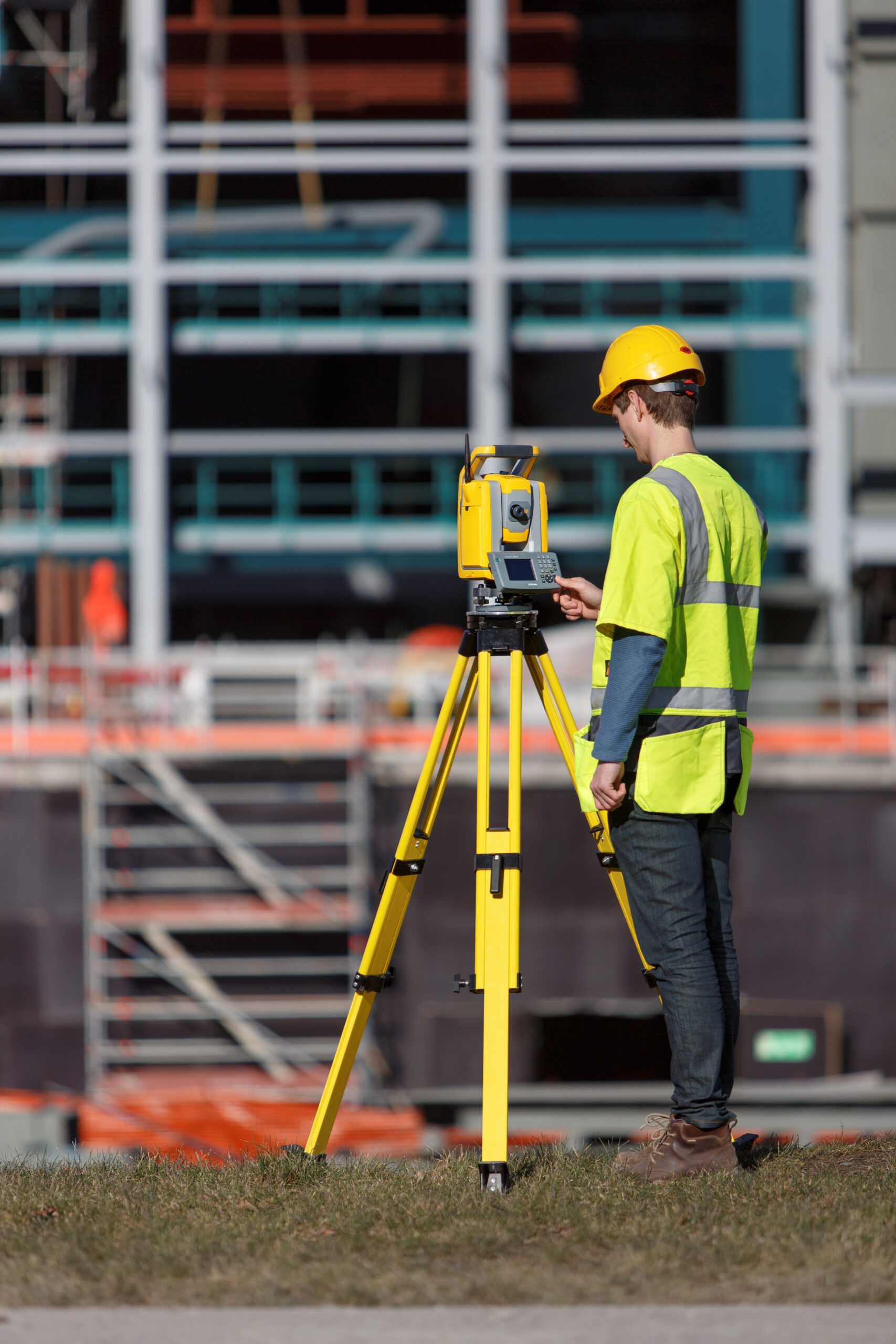
A conventional total station requires two people: one at the instrument and one at the prism. A robotic total station removes that dependency. Using autolock the instrument locks onto and tracks a prism carried by the surveyor, rotating automatically to follow them as they move around site. All instrument control is handled remotely via a radio-linked data collector, so setting out, topographic data collection, and as-built checking can all be done by a single operator without returning to the instrument. For time-pressured projects in construction, civil engineering, and land surveying, those efficiency gains translate directly into programme and cost savings.
The EDM (Electronic Distance Measurement) range defines how far the instrument can reliably measure to a prism. In setting out you may have ranges up to 100-150m. For a topographic survey the range maybe up to 500m.
It is also worth distinguishing between prism range and reflectorless range. Prism range (measuring to a standard reflector) is typically far greater than reflectorless range (measuring directly to a surface). If your workflow involves a significant amount of reflectorless measurement, check this figure independently as the two numbers can differ considerably.
Accuracy specifications appear in two forms. Angular accuracy is expressed in seconds of arc: a 1″ instrument produces a lateral error of roughly 0.5 mm at 100 metres, rising to around 5 mm at 1,000 metres. A 5″ instrument produces errors approximately five times larger at the same distances. For precision setting out or structural monitoring, the difference between a 1″ and a 2″ instrument can be the difference between results within tolerance and results requiring costly re-work.
Distance accuracy is expressed as a fixed component (e.g. 1 mm) plus a proportional part (e.g. 1.5 ppm). The fixed component applies regardless of distance; the ppm element grows with the length of the shot. At 100 metres, 1.5 ppm adds just 0.15 mm. At 1,000 metres, it adds 1.5 mm. For most construction applications, 1 to 2 mm plus 1 to 2 ppm is more than adequate. Bear in mind that published figures represent best-case performance: real-world results will be influenced by atmospheric conditions, target quality, calibration, and operator technique.
All robotic total stations include ATR, but speed and reliability of target acquisition vary significantly between models. Faster lock-on times and the ability to re-acquire a prism quickly after losing it, for example when the surveyor passes behind an obstacle, have a direct impact on productivity. Trimble’s MultiTrack technology, featured across the S-Series range, uses a combination of active and passive tracking to maintain lock reliably in complex environments where other systems can struggle.
A dual-axis compensator continuously monitors and corrects for any residual tilt of the instrument, even if the setup shifts slightly during the session. Single-axis compensators only correct for one plane, which can introduce errors in angle measurements if the instrument is not precisely levelled. Dual-axis compensation is standard across the Trimble S-Series and should be considered a baseline requirement for professional use.
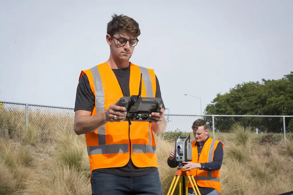
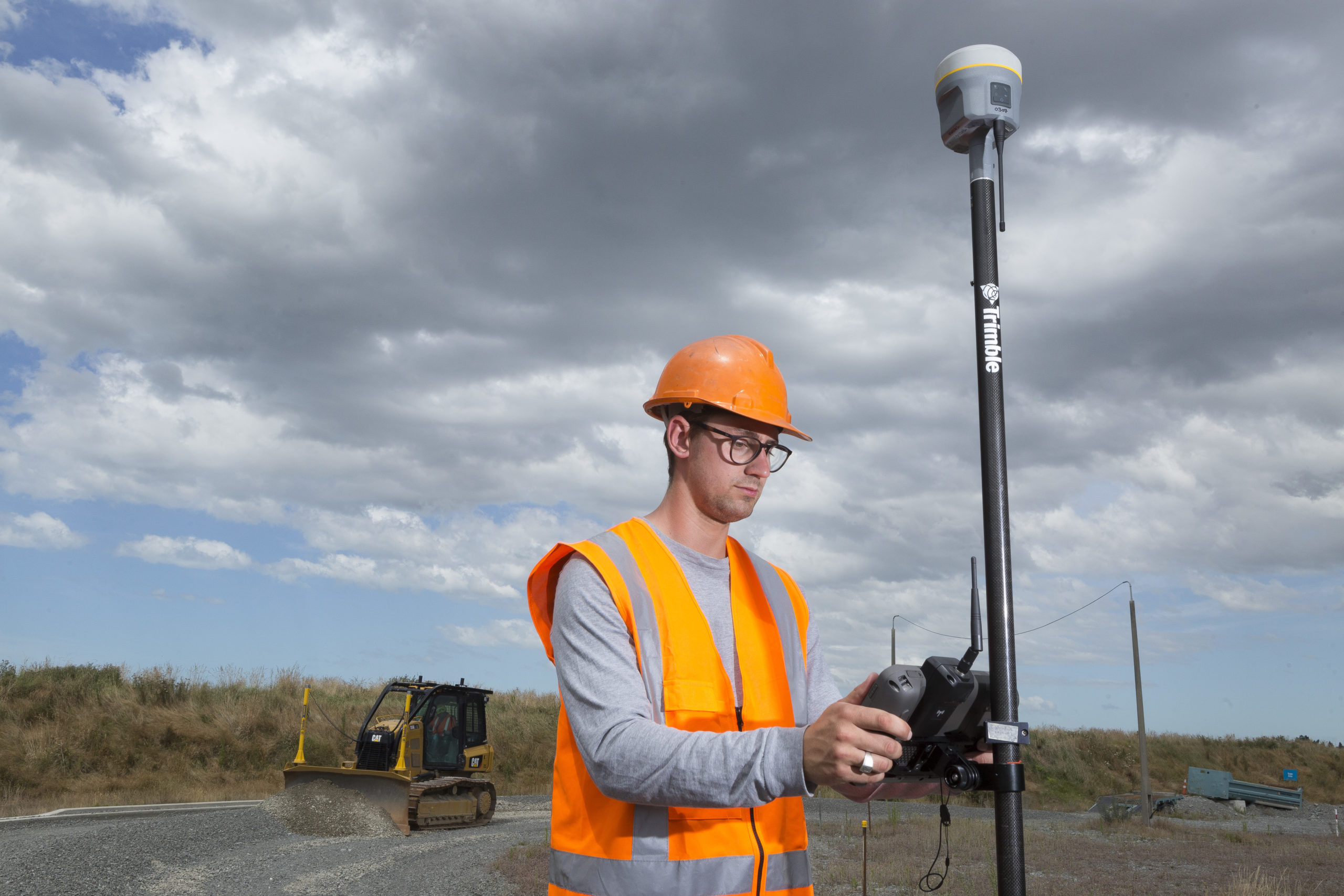
The radio link between instrument and controller is the backbone of single-operator workflow. On an open site a standard radio link will cover several hundred metres without difficulty. On a site with obstructions, inside structures, or in areas with radio interference, range can be significantly reduced. Some instruments offer the option to connect via a mobile network, which extends effective range and provides more flexibility in complex environments.
Higher-end robotic total stations integrate cameras that allow the operator to view what the instrument is seeing directly on the controller, which is particularly useful for identifying prism positions in complex environments and confirming target lock. The Trimble S7 includes Trimble VISION technology for live imaging, plus both the Trimble S7 and S9 have scanning capability, allowing dense point data to be captured alongside conventional survey measurements in a single instrument.
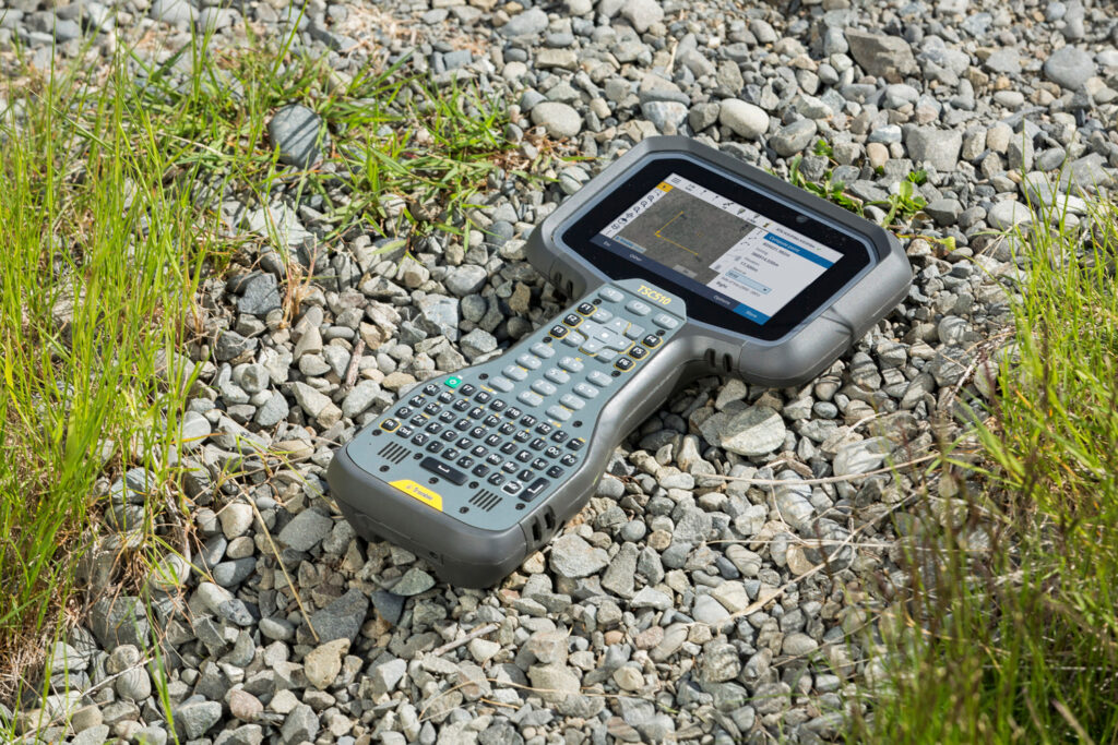
A robotic total station does not operate in isolation. Its value is multiplied when it sits within a fully connected field-to-office workflow. Trimble Access field software, which runs on data collectors such as the Trimble TSC510, controls the instrument, guides the operator through measurement routines, and allows work directly from design files. Trimble Connect, Trimble’s cloud platform, provides the link between field and office, allowing design files, survey data, and deliverables to move seamlessly between the two without the need for physical data transfer. This is increasingly important on sites where the use of memory sticks is prohibited as a matter of policy, making cloud-based transfer not just a convenience but the primary and sometimes only practical method of moving data. Trimble Business Center completes the loop in the office, enabling data processing, quality checking, and deliverable production from the same connected environment. The tighter the integration across this field-to-cloud-to-office workflow, the less time is spent on manual data handling and the lower the risk of errors in transfer. When evaluating a robotic total station, treat the software and connectivity platform as part of the total system cost: an instrument that integrates with tools your team already knows will deliver productivity gains far sooner than one requiring an entirely new workflow to be adopted alongside it.
The right choice depends on what you are primarily using the instrument for. For construction setting out, angular accuracy of 2″ to 5″ is typically sufficient. Prioritise reliable ATR, a solid radio link, and intuitive field software. The Trimble S5 is built on the same chassis and technologies as the advanced S7 and represents excellent value for teams making the step up to robotic workflow, without compromising on the Trimble technologies that matter most in the field.
For topographic surveying, range is often more important than ultimate angular precision. Look for a long prism range that allows large areas to be covered from fewer setups. For precision engineering and monitoring applications, where millimetre-level precision is non-negotiable, the Trimble S9 is designed specifically for these demands, including structural monitoring, tunnel surveys, bridge works, and rail projects. For mixed-use or utility work, a versatile mid-range instrument such as the Trimble S7, which adds Active Tracking, VISION imaging, and scanning capability to the proven S5 platform, covers the broadest range of day-to-day tasks cost-effectively.
It is worth considering hire as an alternative to outright purchase, particularly for projects that require a higher specification instrument than your day-to-day work demands. KOREC offers a hire fleet of Trimble robotic total stations, allowing you to access premium capability, including the Trimble S9 for demanding monitoring or precision engineering work, without committing to the full capital cost.
To explore the full Trimble robotic total station range from KOREC, or to discuss which instrument is the right fit for your projects, speak to our team. We also offer tailored support for surveying, construction, and mapping and GIS applications.
KOREC can advise you on the right total station for your project. Speak to our friendly experts today to get the right technology to solve your business challenges.