KOREC positioning options
Selecting the best positioning option for your site. Our quick guide to the ins and outs of KOREC’s positioning services including Trimble VRS Now, Trimble RTX and Trimble xFill Trimble […]


Selecting the best positioning option for your site. Our quick guide to the ins and outs of KOREC’s positioning services including Trimble VRS Now, Trimble RTX and Trimble xFill Trimble […]
Selecting the best positioning option for your site.
Our quick guide to the ins and outs of KOREC’s positioning services including Trimble VRS Now, Trimble RTX and Trimble xFill
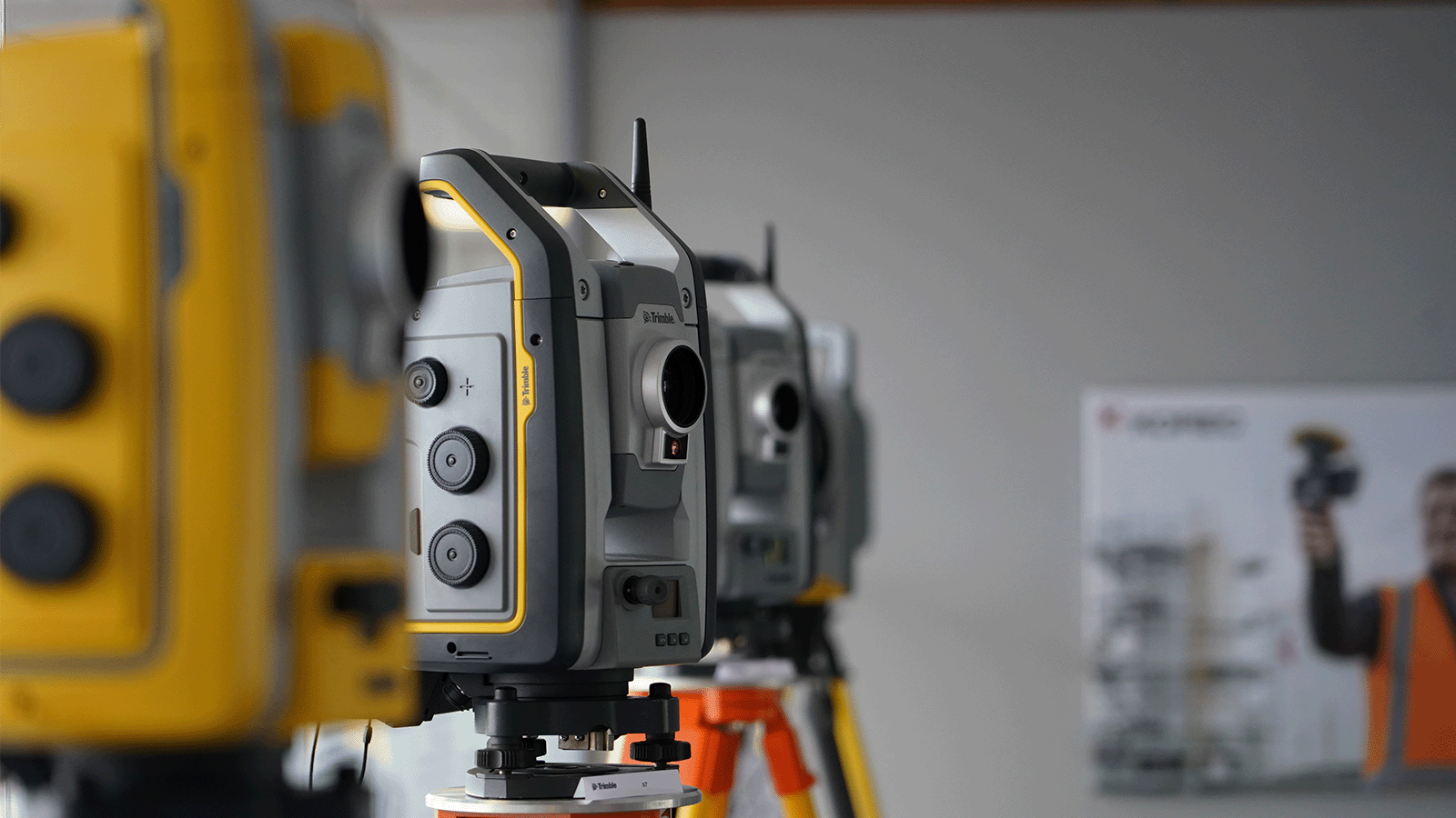
Trimble VRS Now
 In short: Trimble VRS Now is a network RTK service that provides users with instant access to RTK corrections. Using precise data supplied by a dense network of reference stations, VRS Now can deliver centimetre level RTK anywhere in the network, customised for each rover’s exact location. It’s widely used by KOREC customers and much praised for its reliability.
Suitable for: Any site engineer who requires a super reliable positioning service with fast initialisation times and accuracies of 25mm. Especially useful for engineers who have to visit several different sites during a day or those who work on long linear sites.
Trimble VRS Now is suitable for use with Trimble GNSS rovers and also offers clear benefits over other area network solutions, even when used with 3rd party receivers.
Cost: Subscription based service
Further information: A handy run down on VRS Now FAQs can be read here.
Trimble RTX
 In short: RTX is a new positioning technology that brings together the advantages of new techniques that do not require a local reference station network or a mobile phone connection, whilst providing the productivity of RTK positioning. Four options are available with signals received either via satellite or via IP/cellular.
Suitable for: Any site where mobile phone coverage is non-existent or compromised and applications where high accuracy and fast initialisation aren’t priorities.
Cost: CenterPoint, FieldPoint, RangePoint and ViewPoint are subscription based services.
Further information: Full information on Trimble’s RTX Positioning Services can be found here.
Trimble xFill

In short: The jewel in the RTX portfolio is Trimble xFill! A technology that’s always there when you need it. Trimble xFill, powered by Trimble RTX, technology, runs seamlessly in the background, automatically bridging the gap if an RTK or VRS correction source is interrupted due to cellular signal disruption or loss of radio line of sight, allowing you to maintain centimetre-level corrections.
Suitable for: All surveyors who wish to remain productive on sites where their signal might be compromised by tree canopy, stockpiles etc
Cost: Trimble xFill continues to be free for the first 5 minutes of use on all compatible receivers with no degradation of accuracy. Additionally it can also now be used indefinitely beyond 5 minutes on the Trimble R10 and NetR9 Geospatial receivers with a valid CenterPoint RTX subscription.
Further information: Full information on Trimble xFill can be found here.