How Is Surveying Carried Out in Tunnelling Projects?
Discover how modern surveying techniques keep tunnelling projects on line and on grade, from establishing control through to TBM guidance, laser scanning and final as-built verification.


Discover how modern surveying techniques keep tunnelling projects on line and on grade, from establishing control through to TBM guidance, laser scanning and final as-built verification.
Unlike conventional construction, tunnelling takes place in an environment where GNSS is unavailable, working space is restricted and survey accuracy becomes increasingly critical as excavation progresses. Maintaining alignment over hundreds or even thousands of metres requires robust survey control, specialist workflows and reliable equipment.
This guide explains how tunnel surveying is carried out throughout the construction process and the technologies that support it.
Surveying underground presents challenges not encountered on surface projects.
Without satellite visibility, every position underground must be derived from survey control transferred from the surface. As the tunnel advances, that control network is extended progressively, making accuracy at every stage essential.
Unlike a surface construction site where errors can often be corrected relatively easily, even small alignment errors underground can accumulate over distance and become extremely costly to rectify.
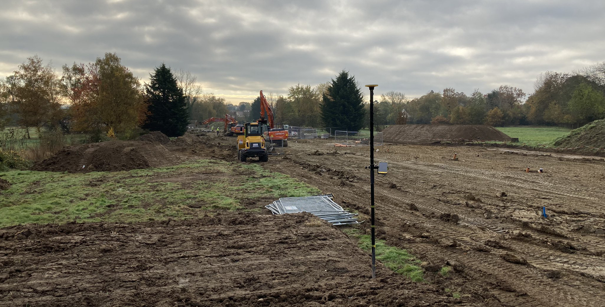
Everything begins with a robust surface control network.
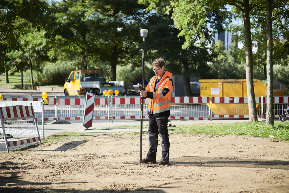
Using GNSS, surveyors establish accurate control around the shaft or tunnel portal before transferring those coordinates underground using conventional survey techniques.
Once underground, the control network is extended using robotic total stations. Every subsequent survey, setting out task and alignment check relies upon this network maintaining its integrity.
For this reason, redundancy, regular observations and independent checks form a critical part of every tunnelling survey.
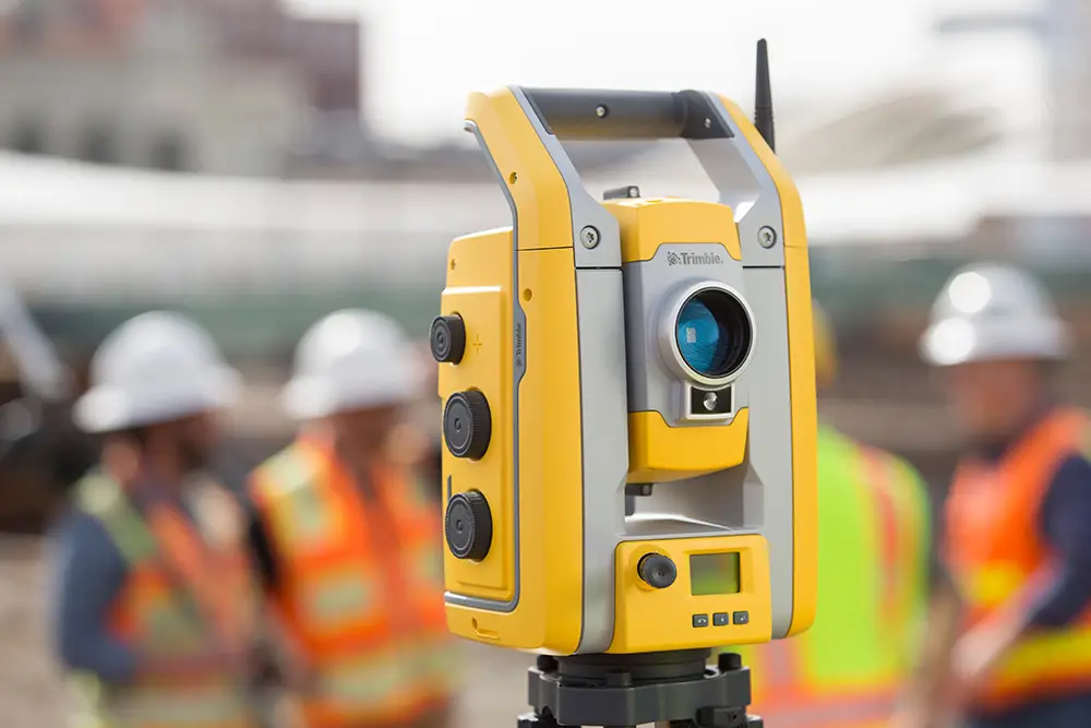
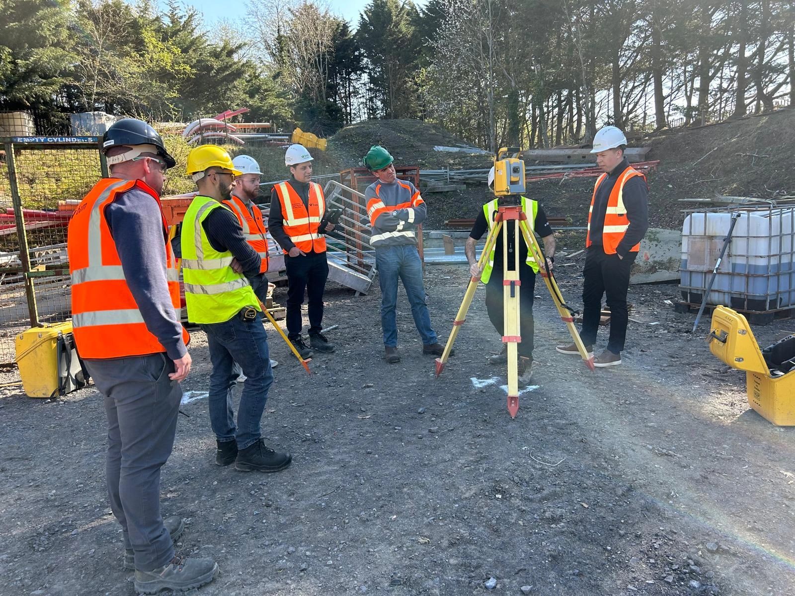
With GNSS unavailable underground, robotic total stations become the primary survey instrument.
Equipment such as the Trimble S5 allows surveyors to extend control, set out design positions and monitor tunnel alignment while maintaining millimetre-level accuracy.
Regular observations ensure the tunnel continues to follow its intended horizontal and vertical alignment throughout construction.
Modern Tunnel Boring Machines (TBMs) rely on accurate survey information to maintain their designed trajectory.
Survey control provides the positional reference used by the machine’s guidance system, while regular survey checks verify that the TBM remains within design tolerances.
Identifying small deviations early allows corrections to be made before they develop into significant alignment errors later in the drive.
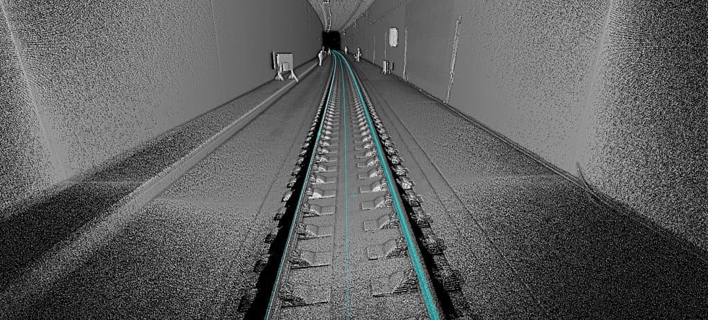
Terrestrial Laser Scanning
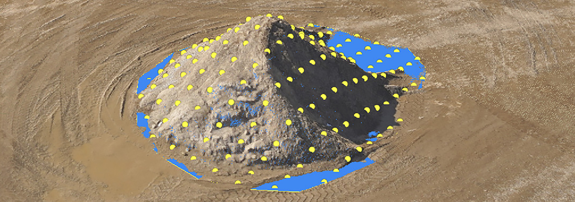
Laser scanning provides a rapid and highly detailed record of completed tunnel sections.
Millions of measurements are collected in minutes, allowing engineers to verify tunnel geometry, monitor construction tolerances and compare the completed works against the design model.
Modern scanners such as the Trimble X9 are particularly well suited to tunnel environments thanks to their rapid data capture, automatic field registration and ability to operate reliably in challenging conditions.
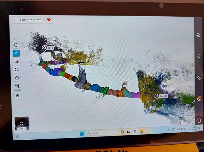
For long tunnel sections where speed is a priority, SLAM-based mobile mapping systems provide an efficient alternative.
Rather than occupying multiple scan positions, the operator simply walks through the tunnel while continuously capturing survey data.
Although SLAM generally delivers lower absolute accuracy than static laser scanning, it offers significant productivity benefits where rapid progress monitoring or asset recording is required.
Collecting accurate observations is only part of the workflow.
Trimble Access includes dedicated tunnelling functionality that supports underground alignment workflows, while Trimble Business Center processes survey observations, laser scans and point clouds into deliverables suitable for engineering design, quality assurance and as-built verification.
Project data can then be shared through Trimble Connect, ensuring designers, engineers and site teams are all working from the latest coordinated information.
Successful tunnelling projects rely on more than individual survey instruments.
An integrated workflow allows survey data captured in the field to move seamlessly into design, quality assurance and construction management without unnecessary conversion or duplication.
By combining robotic total stations, laser scanning, specialised Trimble Access workflows, Trimble Business Center and Trimble Connect, survey teams can maintain alignment, verify construction quality and deliver reliable information throughout the life of the project.
GNSS requires an unobstructed view of satellites, making it unsuitable for underground environments. Tunnel surveys therefore rely on accurately transferring surface control underground and extending that network as excavation progresses.
The frequency depends on the tunnelling method, project specifications and required tolerances. Alignment is monitored continually throughout excavation, with regular survey observations ensuring any deviation is identified and corrected as early as possible.
KOREC supplies the complete range of Trimble technologies used on tunnelling projects, including robotic total stations, laser scanners, mobile mapping systems and specialised Trimble Access workflows. Combined with Trimble Business Center, Trimble Connect, technical support and accredited training, these solutions help survey teams deliver accurate and reliable information from project start through to final completion.
KOREC can advise you on the right tunnel surveying equipment for your business. Speak to our friendly experts today to get the right technology to solve your project challenges.