What Equipment Is Used for Construction Setting Out?
Find out what equipment is used for construction setting out, from total stations and GNSS through to augmented reality visualisation, and how these tools improve accuracy and reduce rework on site.
Construction setting out relies on accurate survey equipment to transfer a digital design onto the ground. Whether you’re positioning foundations, steel columns, drainage runs or structural grids, choosing the right instrument is essential to minimise rework and keep projects on programme.
This guide introduces the principal technologies used for modern construction setting out and explains where each excels. It forms part of KOREC’s Construction Guide series, alongside our articles covering pre-construction surveys and stockpile volume measurement.
What Is Construction Setting Out?
Setting out is the process of transferring a design from CAD drawings or a BIM model into precise physical positions on site. Survey control is established before coordinates are uploaded into field software, allowing engineers to accurately position every element of the design.
Unlike traditional tape-and-offset methods, modern digital workflows eliminate manual calculations and significantly reduce the potential for human error.
Getting setting out right first time is critical. Even relatively small positional errors can lead to clashes, delays, expensive remedial works and contractual disputes.
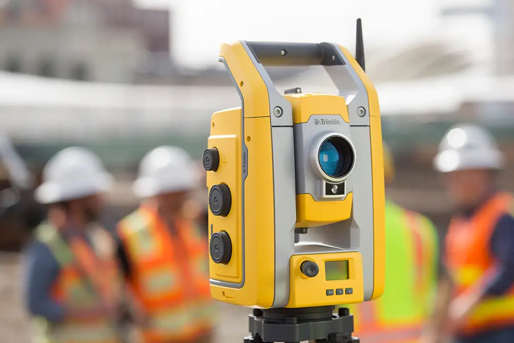
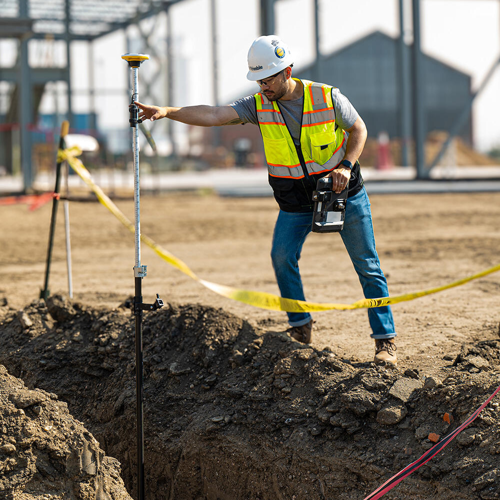
Total Stations
Trimble S5 – Precision Setting Out
Where millimetre accuracy is required, a robotic total station remains the preferred solution.
The Trimble S5 is designed for everyday construction layout, combining 1 mm + 2 ppm EDM accuracy with fast robotic operation and Active Tracking technology. This allows a single engineer to efficiently set out foundations, steelwork, bolt locations and structural grids while maintaining exceptional positional accuracy.
For many contractors, the S5 becomes the primary setting out instrument throughout the construction phase.
Where Total Stations Excel
Total stations are particularly suited to:
Foundation and pile positioning
Steel frame construction
Column grid layout
Internal construction works
Setting out close to buildings or structures
Projects requiring millimetre-level tolerances
Unlike GNSS, total stations are unaffected by poor satellite visibility and consistently provide higher positional accuracy.
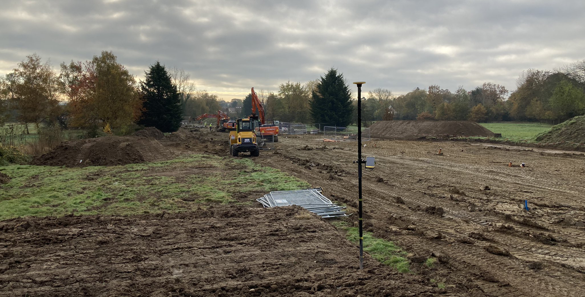
GNSS Receivers
Trimble R980 – Large Area Setting Out
GNSS receivers such as the Trimble R980 provide rapid positioning over large, open sites where maintaining line of sight to a total station would be impractical.
Groundworkers, civil engineering contractors and earthworks teams benefit from being able to move freely around site while maintaining centimetre-level positioning using correction services.
Typical applications include:
Drainage installation
Road construction
Earthworks
Service corridors
Initial site layout
Understanding GNSS Limitations
Although modern GNSS technology is extremely capable, performance can reduce around tall buildings, scaffolding, tree cover or other obstructions due to signal blockage and multipath reflections.
For structural setting out or work requiring the highest levels of accuracy, a total station remains the preferred solution.
Augmented Reality
Trimble SiteVision
Trimble SiteVision brings digital designs into the real world using augmented reality.
Rather than interpreting drawings and mentally visualising the finished construction, Trimble SiteVision projects the BIM model directly onto the live site, allowing engineers, contractors and clients to see proposed works in their intended location.
This provides a powerful way to communicate designs, validate construction proposals and improve stakeholder understanding.
Visualising Underground Services
Trimble SiteVision can also display buried utilities and underground infrastructure before excavation begins.
Being able to identify potential clashes before breaking ground helps reduce project risk, avoid utility strikes and improve overall site safety.
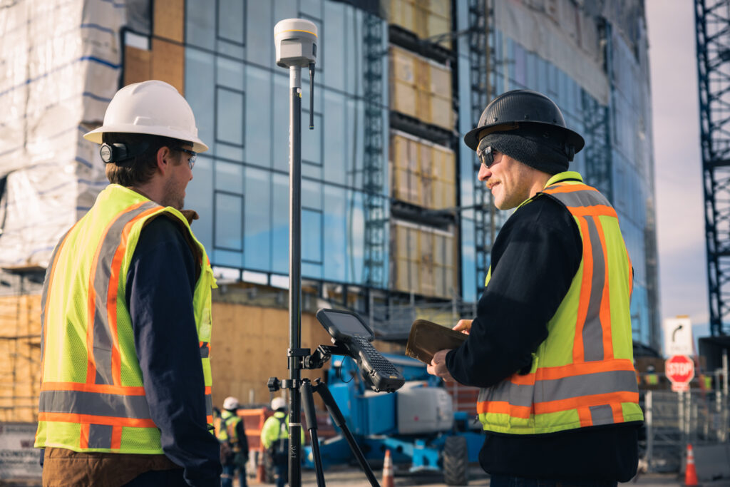
Data Collection and Digital Workflows
Modern construction projects increasingly rely on connected digital workflows rather than isolated survey instruments.
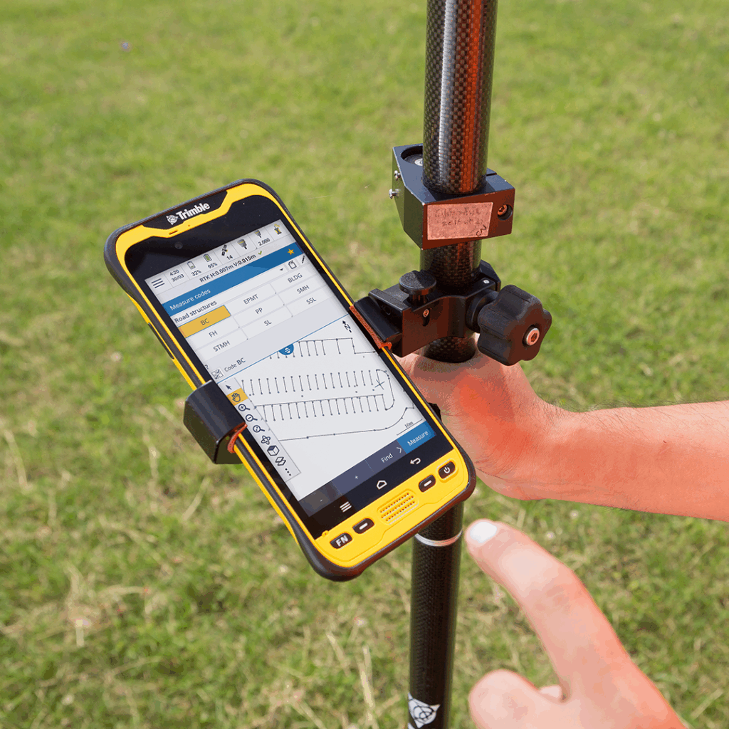
Trimble Access field software controls both total stations and GNSS receivers using a common interface, allowing surveyors to move between technologies without changing workflows.
Design data is prepared in Trimble Business Center before being transferred to site, while completed as-built information can be synchronised through Trimble Connect, providing a common data environment (CDE) that keeps office and field teams working from the latest information.
This connected workflow improves collaboration, reduces version control issues and ensures everyone is working from the same dataset.
Choosing the Right Equipment
No single instrument is ideal for every setting out task.
Open earthworks may be completed efficiently using GNSS, while structural steelwork often demands the accuracy of a robotic total station. Augmented reality solutions such as Trimble SiteVision complement both by helping teams visualise designs before construction begins.
Selecting the right technology for each application enables contractors to improve productivity, reduce rework and deliver projects more efficiently.
Frequently Asked Questions
What accuracy is required for construction setting out?
The required tolerance depends on the element being constructed. Structural steelwork and reinforced concrete typically require millimetre-level accuracy, making robotic total stations the preferred instrument.
Can GNSS replace a total station?
For some applications, yes. GNSS is ideal for large open sites and general construction layout. However, where the highest accuracy is required or satellite visibility is restricted, a total station remains the better choice.
How does KOREC support construction projects?
KOREC supplies a complete range of Trimble total stations, GNSS receivers, laser scanners and augmented reality solutions. Our specialists provide equipment demonstrations, technical support, training and consultancy to help contractors select the right technology for every project.
Discover the options for Construction Setting Out
KOREC can advise you on the right setting out equipment for your business. Speak to our friendly experts today to get the right technology to solve your project challenges.
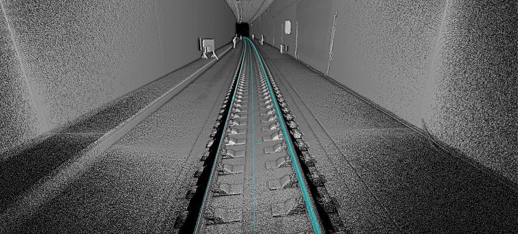
How Is Surveying Carried Out in Tunnelling Projects?
Discover how modern surveying techniques keep tunnelling projects on line and on grade, from establishing control through to TBM guidance, laser scanning and final as-built verification.
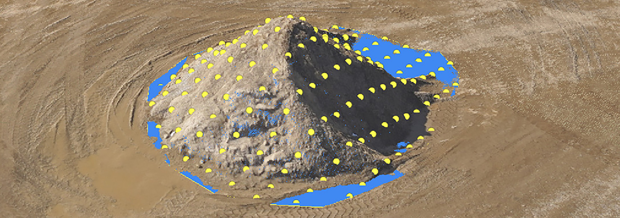
Learn how modern survey technologies calculate stockpile volumes and discover which method is best suited to your site, whether you're working in a quarry, recycling facility, construction project or bulk...
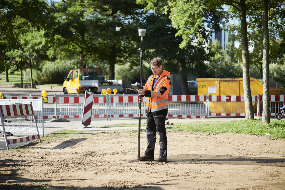
Find out why a pre-construction survey is essential before any project begins, what it should include, and how accurate site data reduces design errors, rework, and costly surprises during construction.