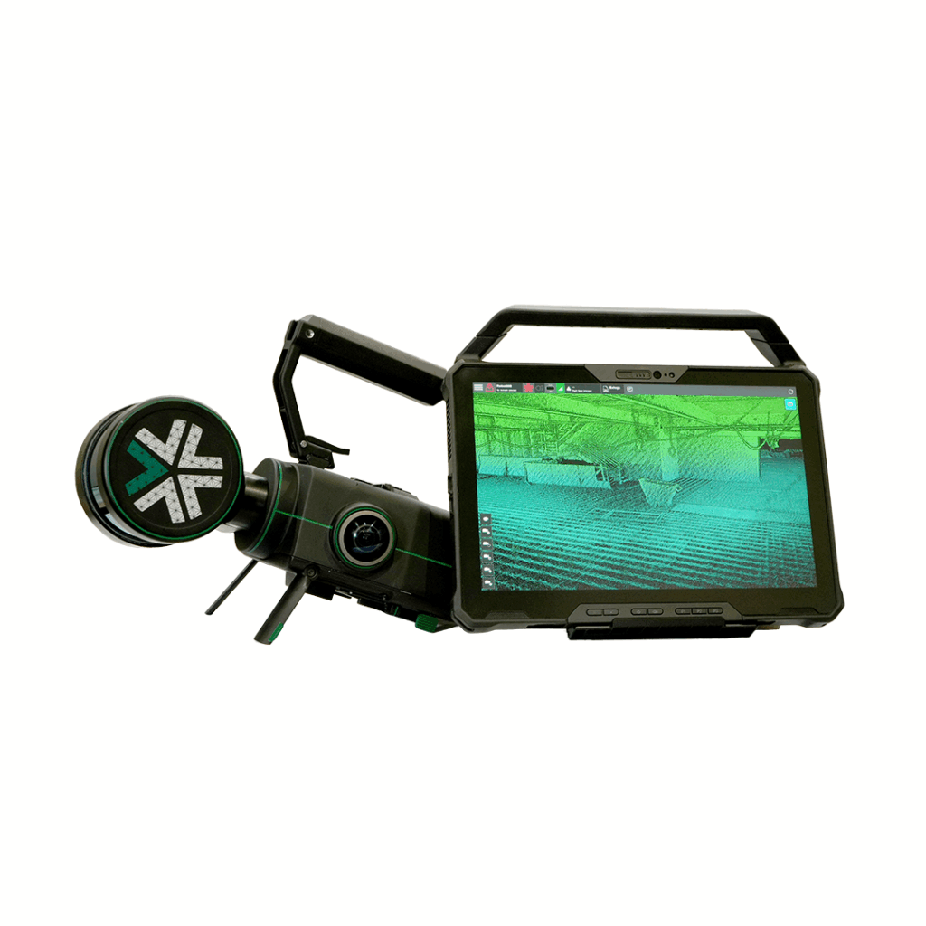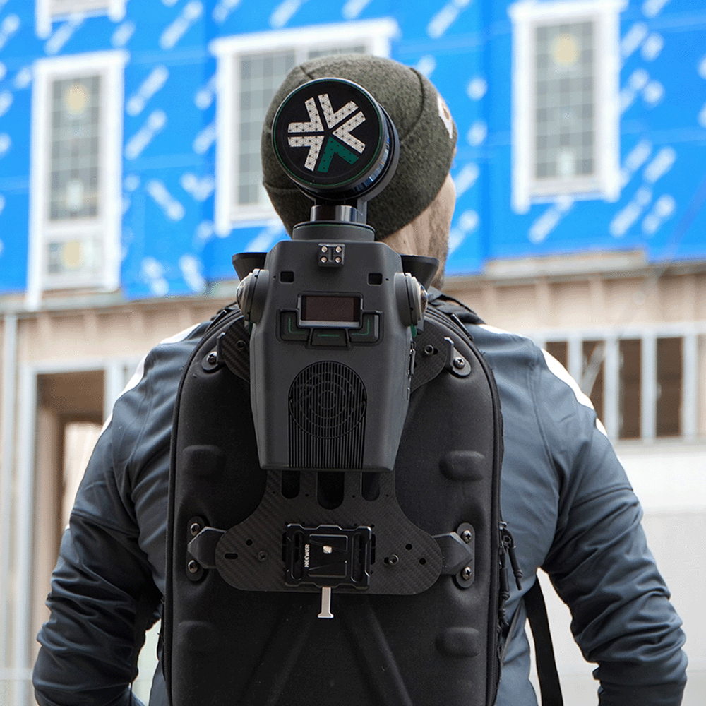
Unlocking accuracy & efficiency with the Exyn Nexys
Explore how the Exyn Nexys is transforming autonomous data capture—delivering exceptional accuracy and efficiency across a wide range of industries.




Explore how the Exyn Nexys is transforming autonomous data capture—delivering exceptional accuracy and efficiency across a wide range of industries.
SLAM Scanning Webinar
Join us for an exclusive webinar with:
🗣️ Douglas Minke – Senior Sales Manager at Exyn Technologies
🛠️ James Sui – Product Leader at Exyn Technologies
🔧 Dan Lincoln-Barnes – Technical Support Specialist at KOREC
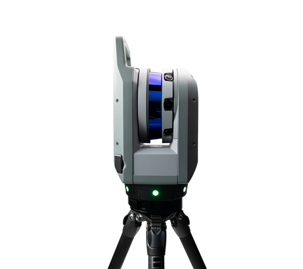
Together, they’ll explore how the Exyn Nexys is transforming autonomous data capture—delivering exceptional accuracy and efficiency across a wide range of industries.
In this session, we’ll dive into how Nexys (A modular 3D mapping solution) empowers teams to work smarter, safer, and faster, with minimal human intervention and maximum performance.
What we’ll cover:
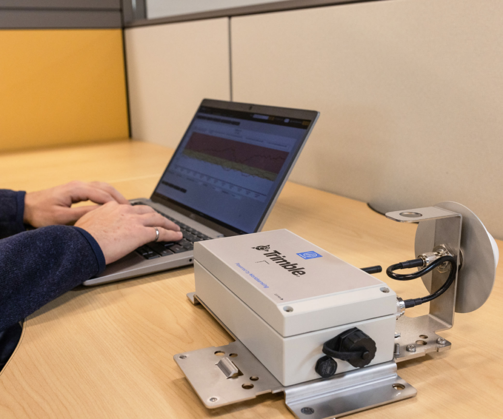
Learn how to boost your monitoring projects with measurement devices from World Sensing
Watch Now Watch Now
Discover how to save time, improve accuracy, and make better decisions on site with drone data.
Watch Now Watch Now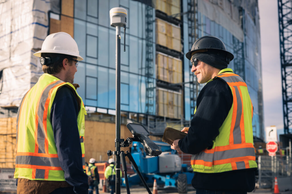
Whether you're new to GNSS or looking to refresh your knowledge, this webinar will walk you through the ABC of site GNSS.
Watch Now Watch Now
Join Sector Specialist Dan Lincoln-Barnes – BuildingPoint UK and Ireland technical support on a not-to-be-missed webinar on working from Tekla to layout and FieldLink and Connect
Construction Webinar
Join Sector Specialist Dan Lincoln-Barnes – BuildingPoint UK and Ireland technical support on a not-to-be-missed webinar on working from Tekla to layout and FieldLink and Connect
This webinar will cover:
Learn how to boost your monitoring projects with measurement devices from World Sensing
Watch Now Watch Now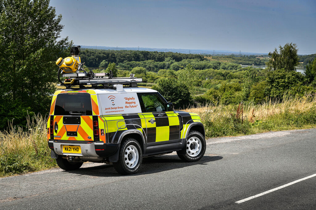
Discover how Mobile Mapping can provide a single source of truth to assess conditions along road networks
Watch Now Watch NowWhether you're new to GNSS or looking to refresh your knowledge, this webinar will walk you through the ABC of site GNSS.
Watch Now Watch Now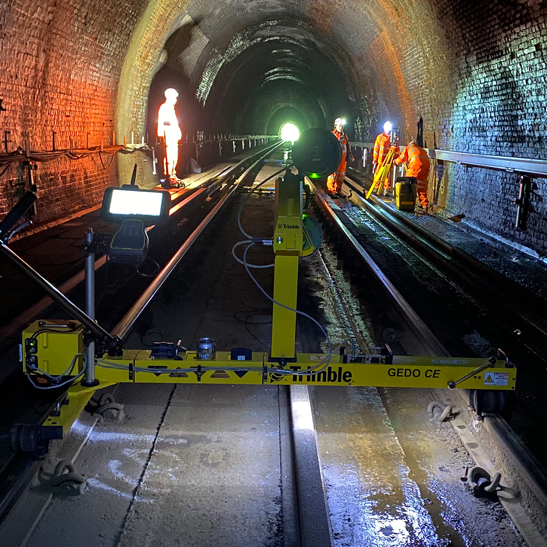
discover how the GEDO IMS and GX50 System can streamline your rail projects. We’ll dive into the key benefits of using IMS Scan, including topo detail extraction, clearance analysis, asset data collection, ballast calculation, and slab track inspection.
Rail Webinar
Watch our webinar on GEDO Scan Office and discover how the GEDO IMS and GX50 System can streamline your rail projects. We’ll dive into the key benefits of using IMS Scan, including topo detail extraction, clearance analysis, asset data collection, ballast calculation, and slab track inspection. In just one survey, you’ll capture critical data like track geometry, platform and structure gauging, OLE height and stagger information, and a comprehensive point cloud. Plus, we’ll show you how to export data in formats like SC0, DXF linework, GTD for redesign, and cross-sectional drawings, as well as analyse point clouds in TRW/TBC. Don’t miss out on this opportunity to see how GEDO Scan Office can enhance your workflow.
Discover how Mobile Mapping can provide a single source of truth to assess conditions along road networks
Watch Now Watch NowWhether you're new to GNSS or looking to refresh your knowledge, this webinar will walk you through the ABC of site GNSS.
Watch Now Watch NowDiscover how to save time, improve accuracy, and make better decisions on site with drone data.
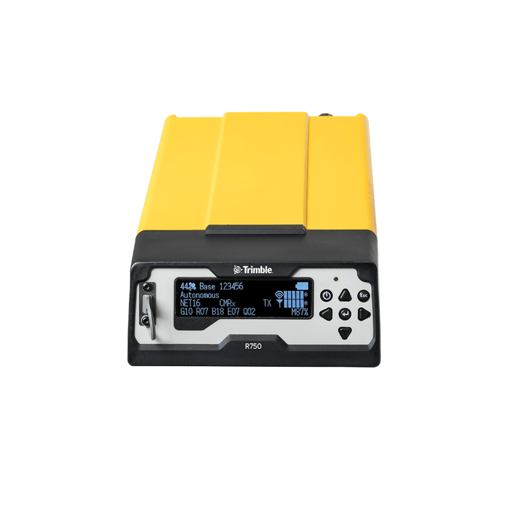
Watch Now Watch NowMain unit for all Trimble GEDO track measurement systems
Optimum control of measurement for the respective application
Modular packages for all rail applications
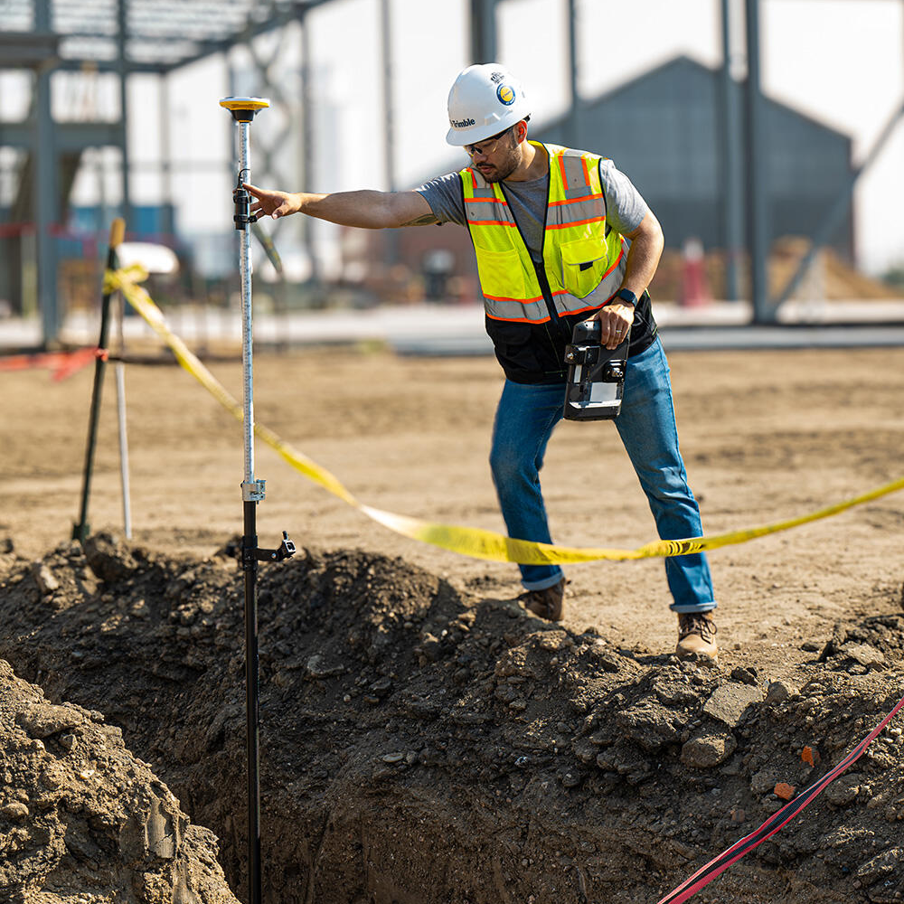
Discover the world of digital construction through the lens of Trimble
Construction Webinar
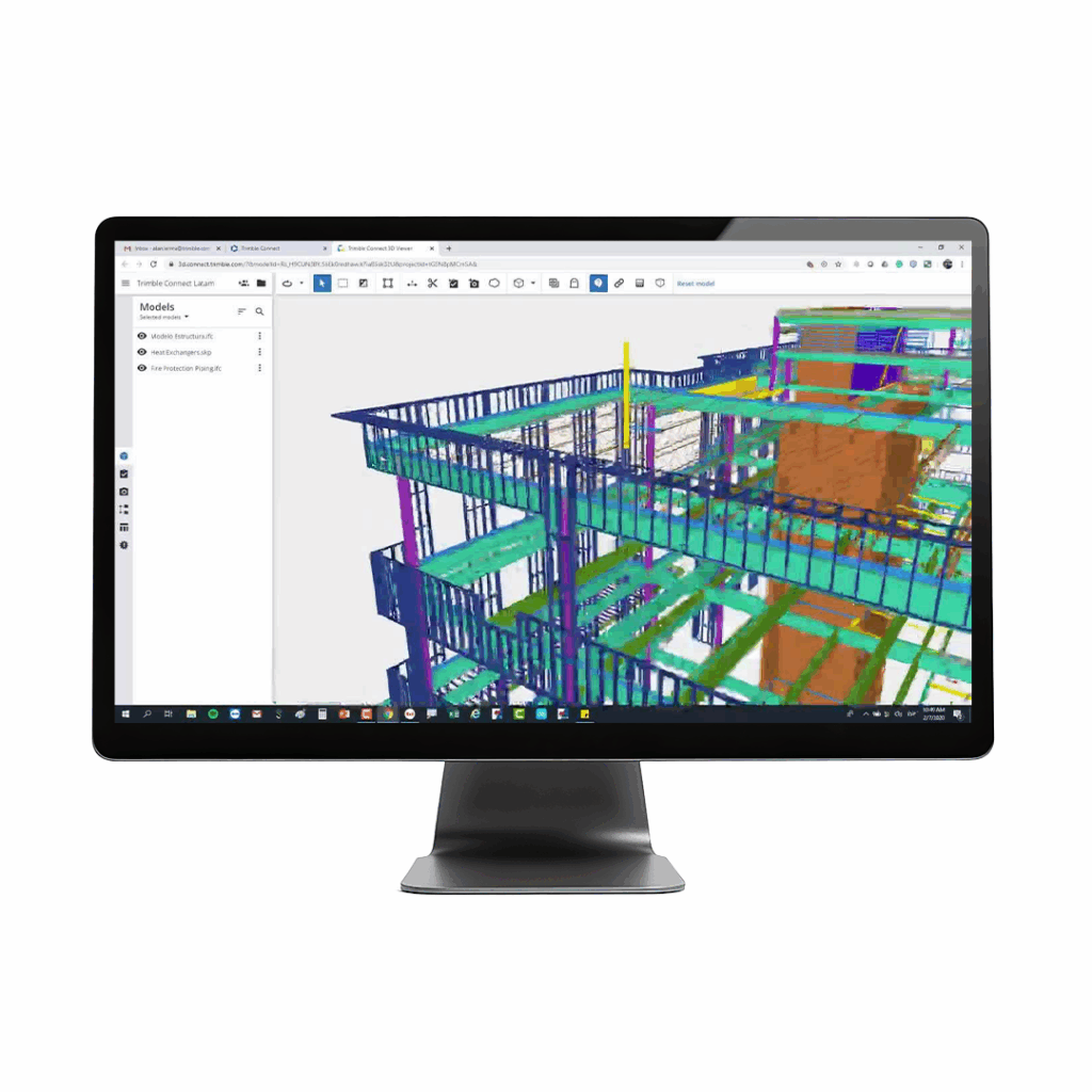
Trimble Digital Construction webinar with KOREC’s Sector Specialist, Abel Varela Abelleira.
This webinar will dive into;
Discover how Mobile Mapping can provide a single source of truth to assess conditions along road networks
Watch Now Watch NowWhether you're new to GNSS or looking to refresh your knowledge, this webinar will walk you through the ABC of site GNSS.
Watch Now Watch NowDiscover how to save time, improve accuracy, and make better decisions on site with drone data.
Watch Now Watch Now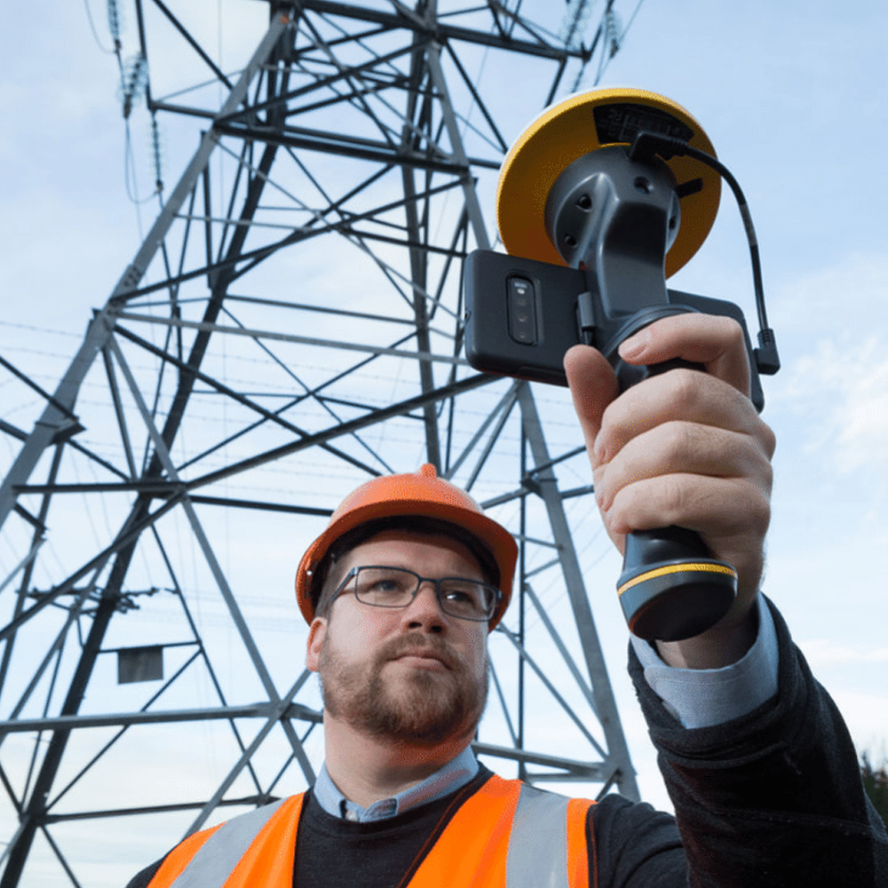
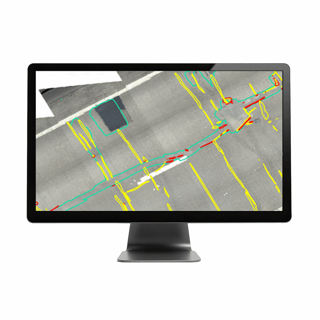
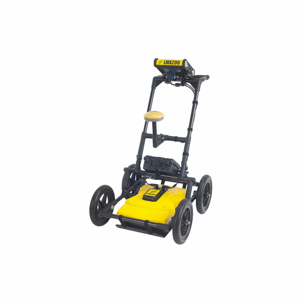
Discover the latest innovations in utility locating and how they can benefit your business.
Mapping Webinar
Discover the latest innovations in utility locating and how they can benefit your business. This must-attend session will include:
Whether you’re a surveying company or a utility provider, this webinar is for you.
Discover how Mobile Mapping can provide a single source of truth to assess conditions along road networks
Watch Now Watch NowWhether you're new to GNSS or looking to refresh your knowledge, this webinar will walk you through the ABC of site GNSS.
Watch Now Watch NowDiscover how to save time, improve accuracy, and make better decisions on site with drone data.
Watch Now Watch Now
Level-up your survey game. and learn a smarter survey workflow powered by Trimble Connect.
Survey Webinar
A Smarter Survey Workflow with Trimble Connect
KOREC Group and Survey Solutions Group (both part of the Cansel Group) invite you to join Abel Varela Abelleira, Sector Specialist and Senior Applications Engineer, for a must-watch webinar on 30 July at 11:00am.
Join the webinar to see how Trimble Connect can help you to:
Discover how Mobile Mapping can provide a single source of truth to assess conditions along road networks
Watch Now Watch NowWhether you're new to GNSS or looking to refresh your knowledge, this webinar will walk you through the ABC of site GNSS.
Watch Now Watch NowDiscover how to save time, improve accuracy, and make better decisions on site with drone data.
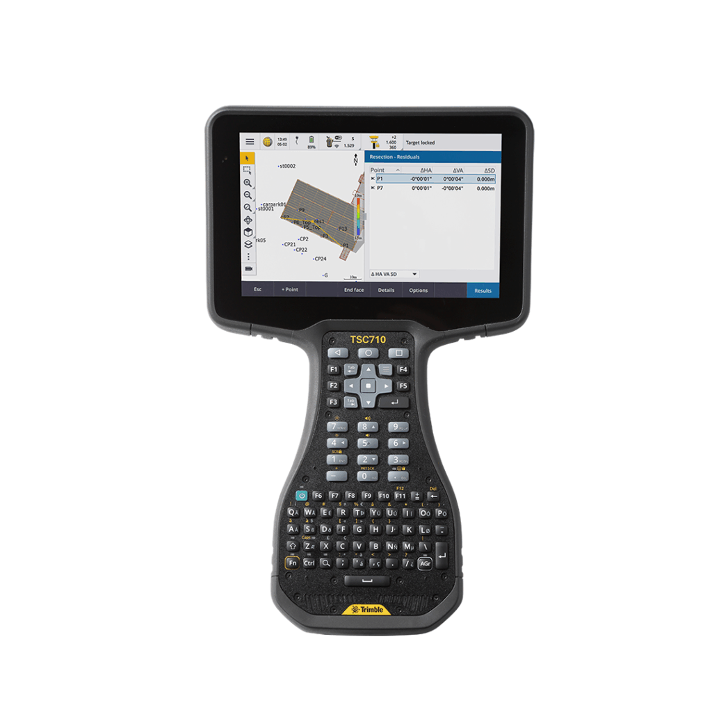
Watch Now Watch NowConnect to a better way to work with this robust, top-tier controller
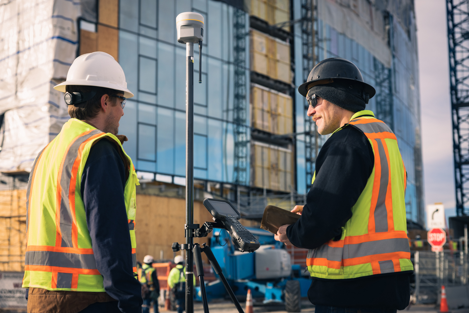
Whether you’re new to GNSS or looking to refresh your knowledge, this webinar will walk you through the ABC of site GNSS.
GNSS Webinar
Join us for a free, expert-led session with John Blackburn, KOREC Group’s Geospatial technical support sector specialist.
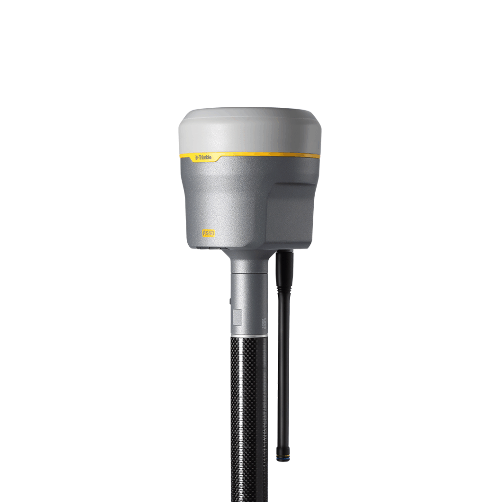
Whether you’re new to GNSS or looking to refresh your knowledge, this webinar will walk you through the ABC of site GNSS.
What we’ll cover:
Don’t miss this opportunity to build confidence in your kit and ask your questions live!
Discover how Mobile Mapping can provide a single source of truth to assess conditions along road networks
Watch Now Watch NowLearn how to boost your monitoring projects with measurement devices from World Sensing
Watch Now Watch NowDiscover how to save time, improve accuracy, and make better decisions on site with drone data.
Watch Now Watch NowConnect to a better way to work with this robust, top-tier controller
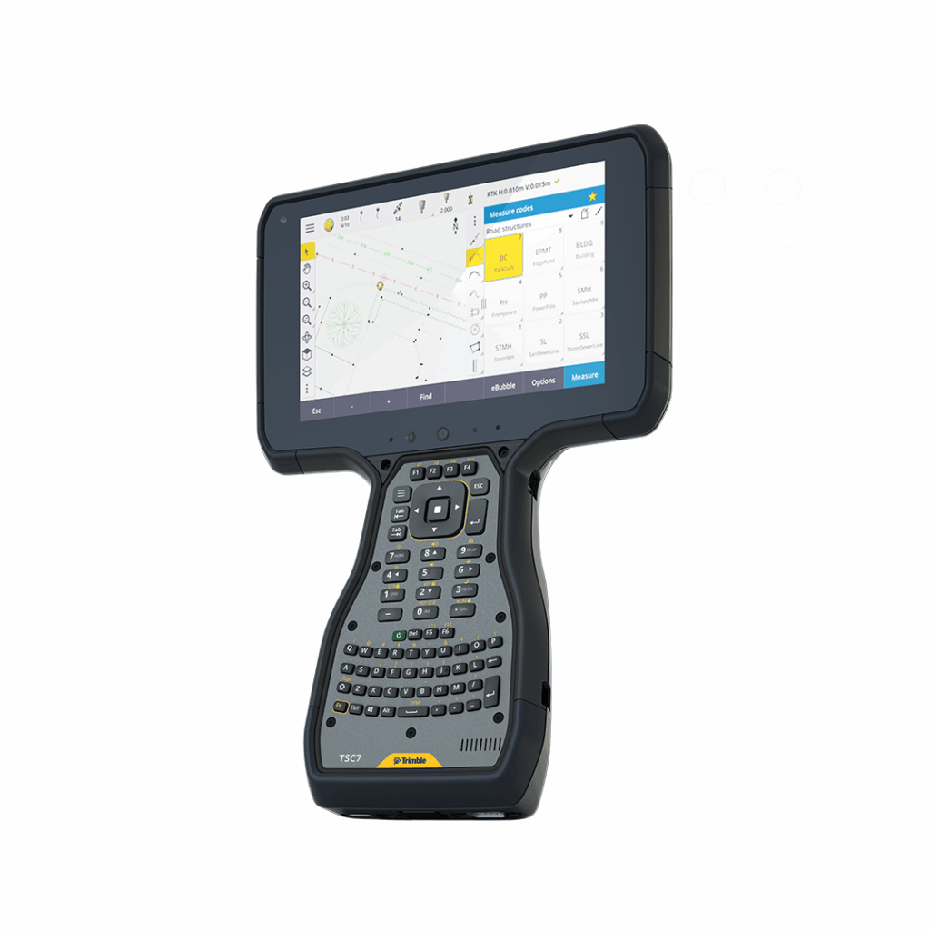
Connect to a better way to work with the all-new Trimble TSC710
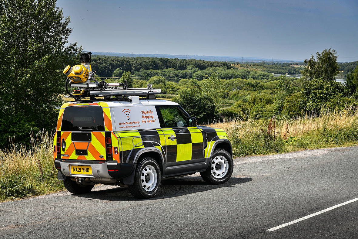
Discover how Mobile Mapping can provide a single source of truth to assess conditions along road networks
Mobile Mapping Webinar
Discover how Mobile Mapping can provide a single source of truth to assess conditions along road networks
With the number of vehicles licenced on UK roads growing year on year, the need to understand road safety, condition, and maintenance is becoming increasingly critical. The UK Department for Transport’s local road maintenance ratings for England, published in January 2026, highlight how there is a growing demand to identify risk areas and improve road networks across many local highway authorities.
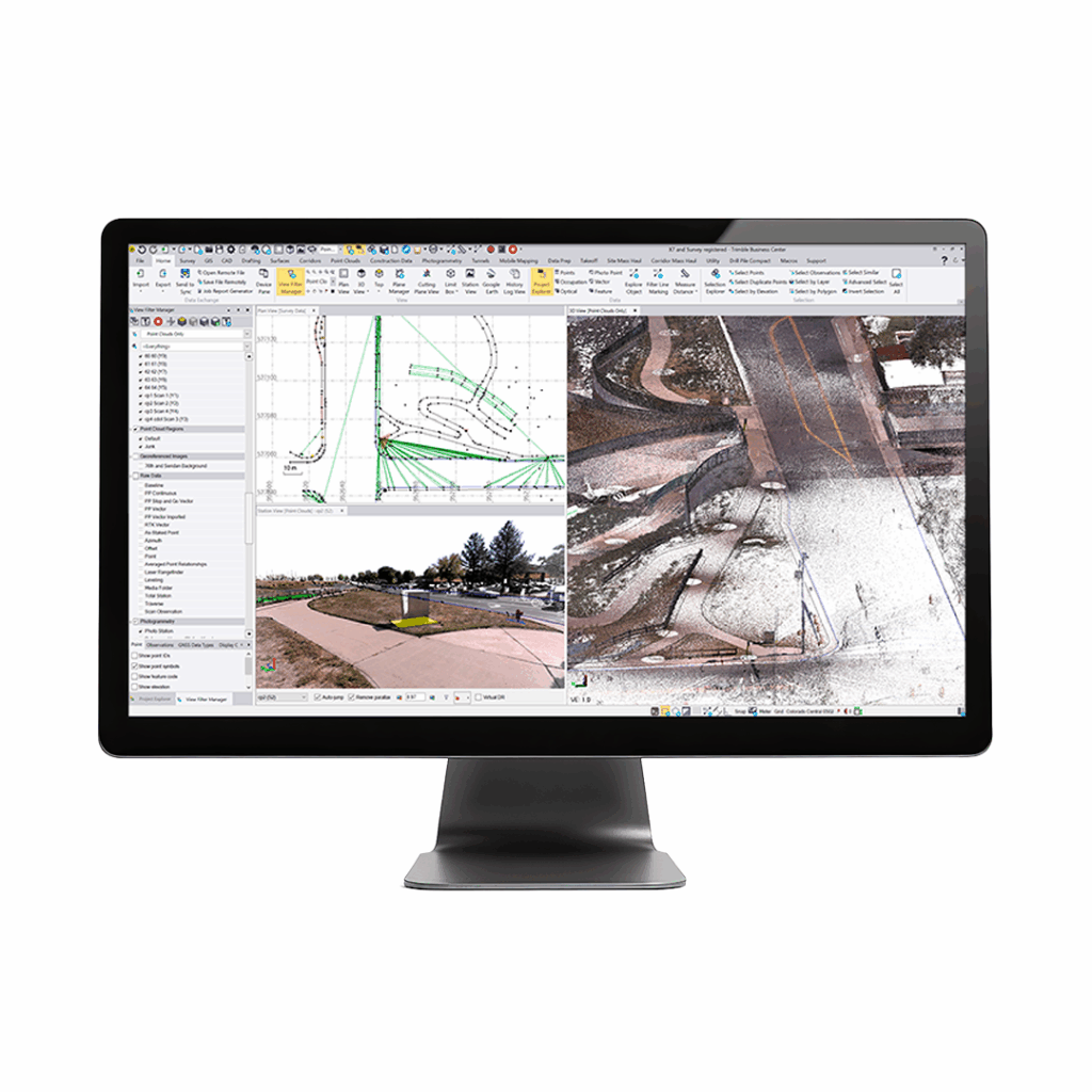
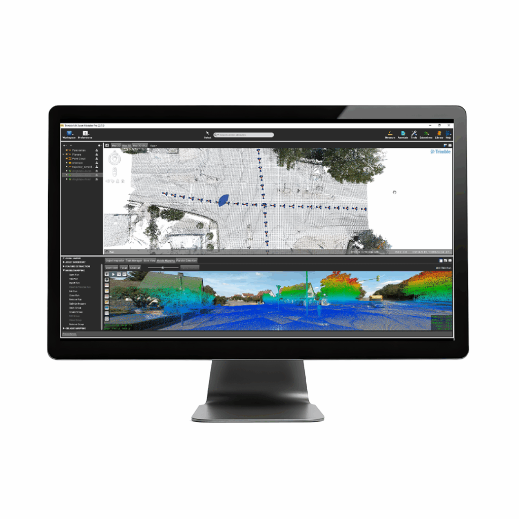
This webinar with KOREC’s Sector Specialist Mark Bowers will highlight how Mobile Mapping can provide a single source of truth to assess conditions along road networks and monitor their status throughout their lifecycle. The focus of this session will be on how Trimble Business Centre’s mobile mapping analysis tools and KOREC Professional Services deliverable portfolio can identify defects and map road surfaces to promote faster, accurate and more efficient data driven decision making.
Learn how to boost your monitoring projects with measurement devices from World Sensing
Watch Now Watch NowDiscover how to save time, improve accuracy, and make better decisions on site with drone data.
Watch Now Watch NowWhether you're new to GNSS or looking to refresh your knowledge, this webinar will walk you through the ABC of site GNSS.
Watch Now Watch NowDiscover how to save time, improve accuracy, and make better decisions on site with drone data.
Drone Data Webinar
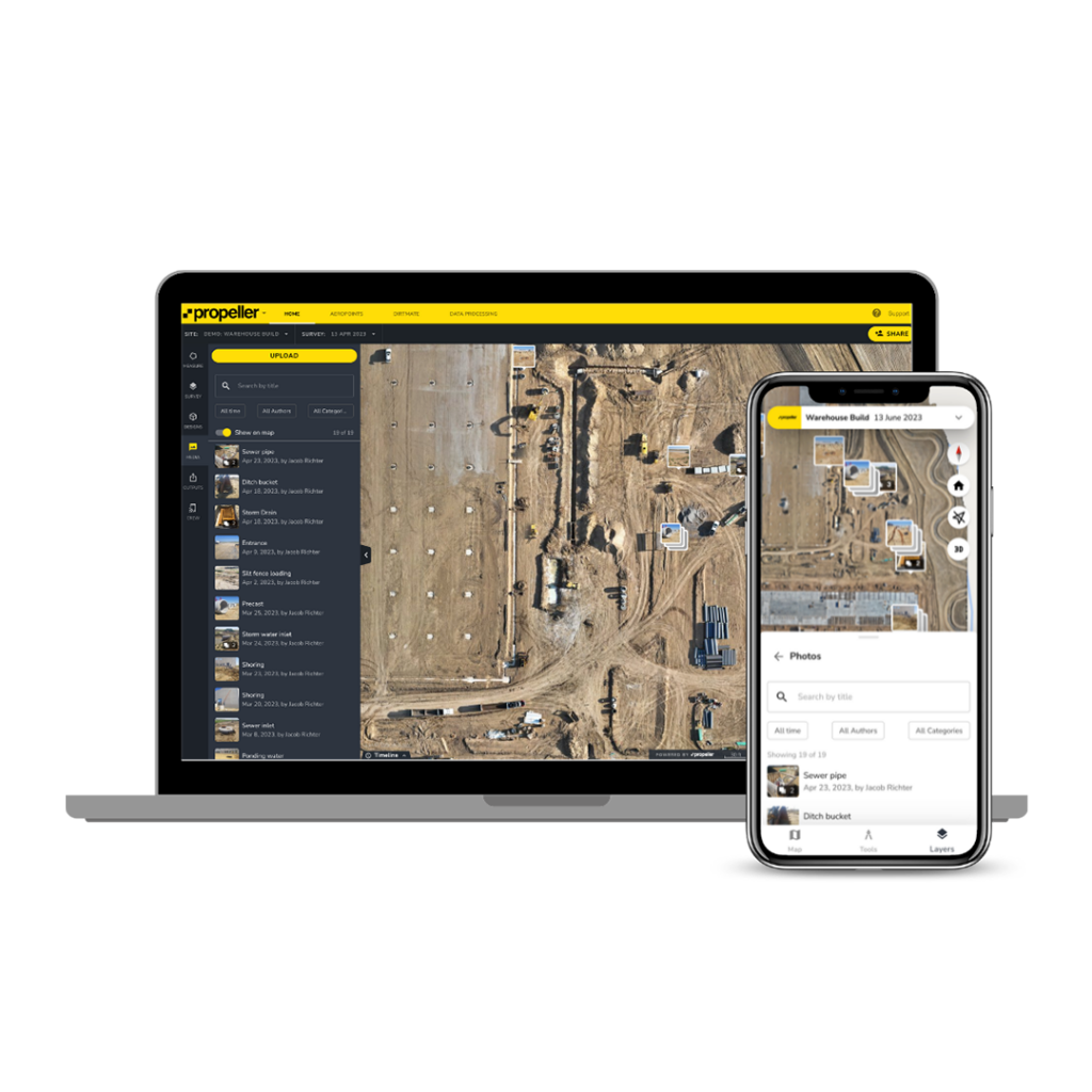
Unlock the power of drone data with Propeller
To celebrate the launch of our new partnership with Propeller, join Darrell Theobalds (KOREC Group) and Samuel Viitikko (Propeller) for a not-to-be-missed webinar exploring how Propeller helps UK construction teams keep all their site data in one place while handling the heavy lifting of drone data processing. Discover how to save time, improve accuracy, and make better decisions on site. We’ll walk through real-world UK use cases, show a live demo, and answer your questions so you can see exactly how Propeller simplifies your workflow from flight to insights.
What you’ll learn:
Learn how to boost your monitoring projects with measurement devices from World Sensing
Watch Now Watch NowDiscover how Mobile Mapping can provide a single source of truth to assess conditions along road networks
Watch Now Watch NowWhether you're new to GNSS or looking to refresh your knowledge, this webinar will walk you through the ABC of site GNSS.
Watch Now Watch NowBringing intelligence to aerial operations
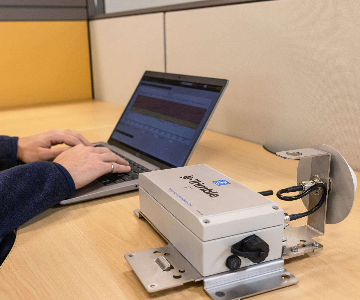
Learn how to boost your monitoring projects with measurement devices from World Sensing
Monitoring Webinar
Broaden your monitoring knowledge and see the benefits for your next monitoring project.
A quick guide to the additional options available for Automated Monitoring using Trimble 4D Control (T4D). From Tilt Meters to GNSS Metres, see what other options are available and how they are still easily configurable so you can manage monitoring data and share real-time analysis with stakeholders using T4D.
Discover how Mobile Mapping can provide a single source of truth to assess conditions along road networks
Watch Now Watch NowWhether you're new to GNSS or looking to refresh your knowledge, this webinar will walk you through the ABC of site GNSS.
Watch Now Watch NowDiscover how to save time, improve accuracy, and make better decisions on site with drone data.
Watch Now Watch Now