SOARVO Standard Edition
£2,500.00
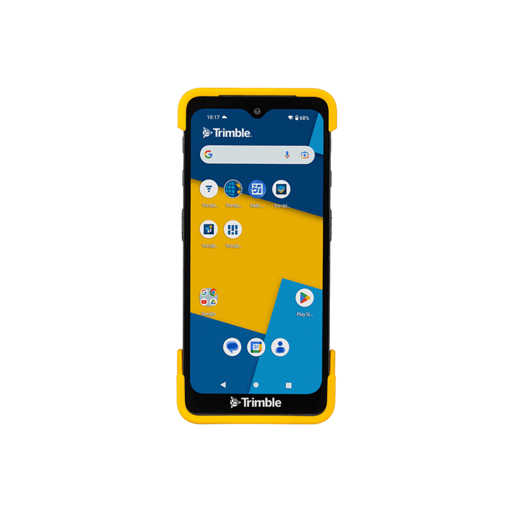
Add to basketThe SOARVO Standard Edition is an annual subscription offering a comprehensive 3D mapping and spatial data environment. It includes 250GB storage and 1000 processing tokens for essential project delivery.
Access a powerful cloud-based photogrammetry platform suited for active teams. This edition accommodates 1 Admin, 1 Project Manager, and 5 Editors, plus unlimited viewers. Backed by 250GB of storage and 1000 tokens, it facilitates standard 3D mapping, orthomosaic processing, and data visualization natively within the browser.

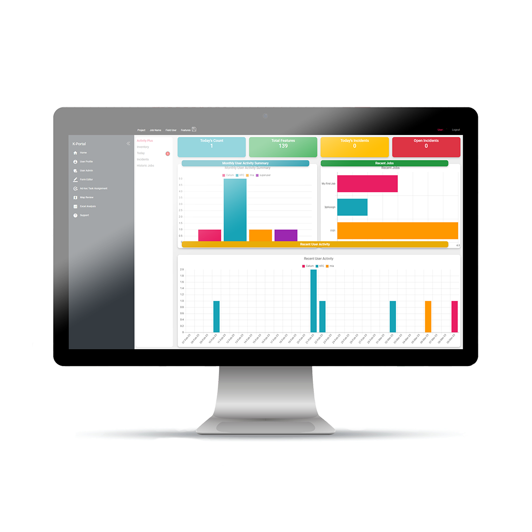
User Allocations
Dedicated access for 1 Admin, 1 Project Manager, 5 Editors, and Unlimited Viewers.

Processing & Storage
Includes 250GB of data storage and 1000 tokens for standard photogrammetry processing.
Data Visualisation
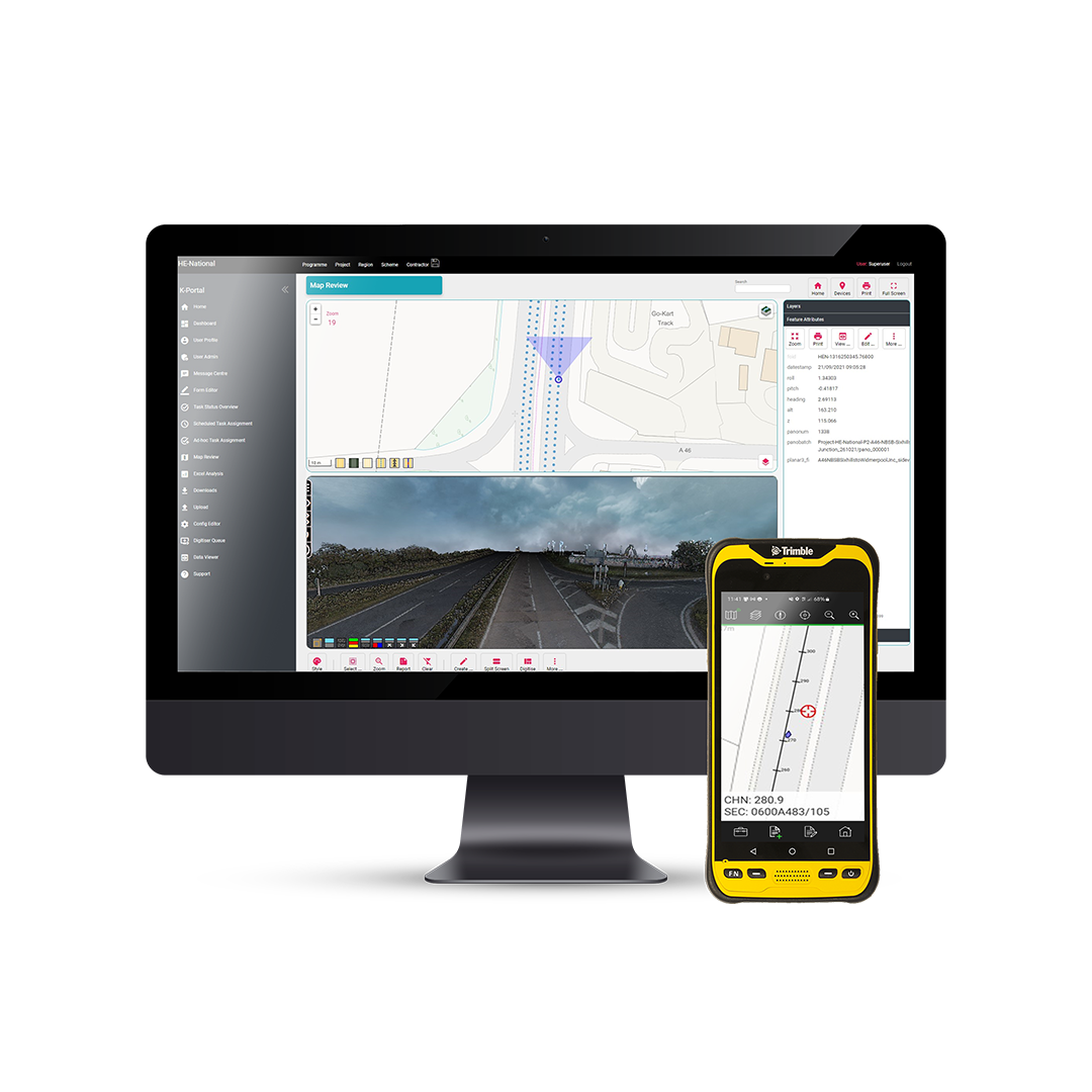
Powered by Cesium 3D Mapping Engine, featuring Google 3D Buildings, clipping planes, and split-screen 360 panoramic views.
Digitisation Tools
Create point, line, and polygon features with HTML templated reporting and volume calculations.
Supported data formats include Orthomosaic (.TIF), Point Cloud (.LAS, .LAZ, .E57), 3D Mesh (.OBJ, .B3DM), GIS (.CSV, .SHP), CAD (.DWG), BIM (.IFC), 360 Panoramas (.JPG), and Georeferenced Video (.MP4). Security uses Named User Logins. Includes 1 x GCP Mobile App Licence for capturing ground control points. Measurement tools feature screenshot capabilities, volume calculations, and cross-section visualization. Visual tools include background map toggles, point cloud performance sliders, and shortcut keyboard controls for zoom, pan, and rotate.
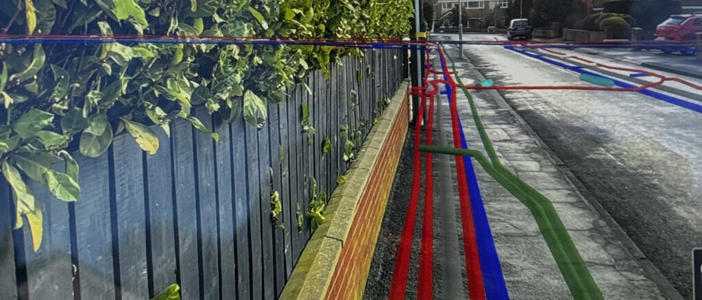
New KOREC case study: After the spray paint fades….
How the smart application of Trimble’s AR SiteVision technology has enabled Castle Keep Surveys to provide their client with an innovative solution for identifying underground utility assets—long after the completion of a PAS128 Underground Utility Survey.
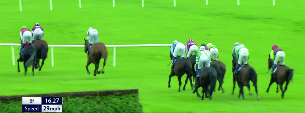
New KOREC case study! Fairyhouse Racecourse clears timing hurdle
Fairyhouse Racecourse leads the way in consistent, centimetre accurate, sectional timing data with IHRB approved low-cost, ground-breaking Trimble GPS syste
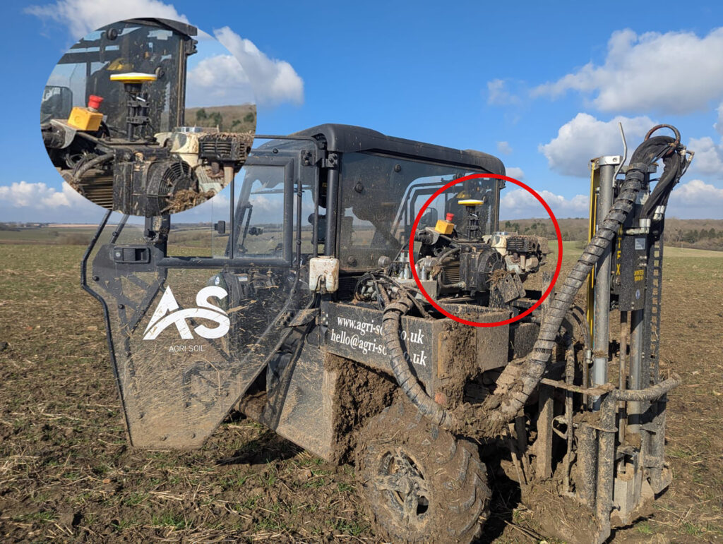
Grounded in accuracy
A family farm has diversified into providing an expert soil sampling and analysis business as an independent alternative to using services provided by large agricultural chemical companies.
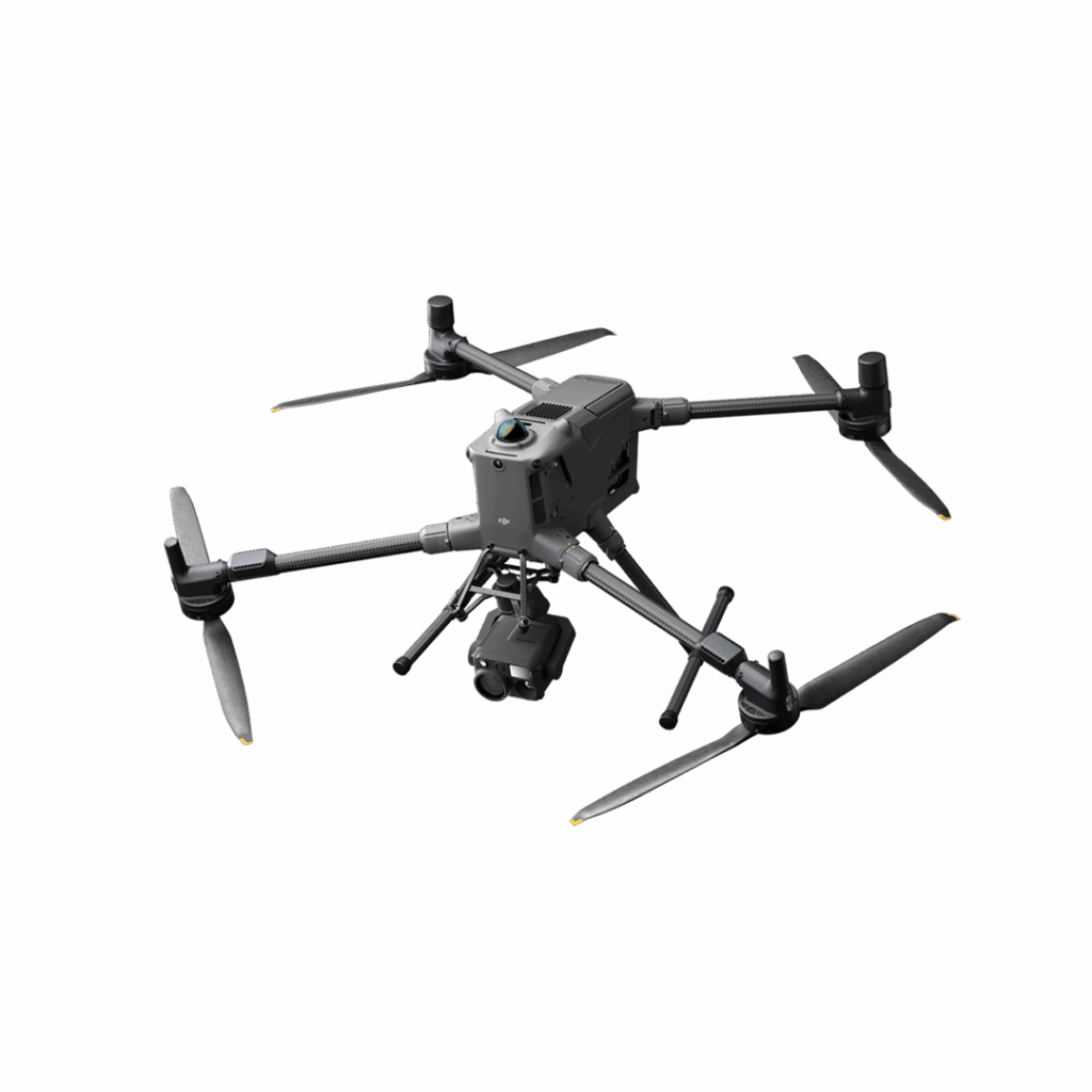
DJI Matrice 400
Engineered for excellence, designed for versatility