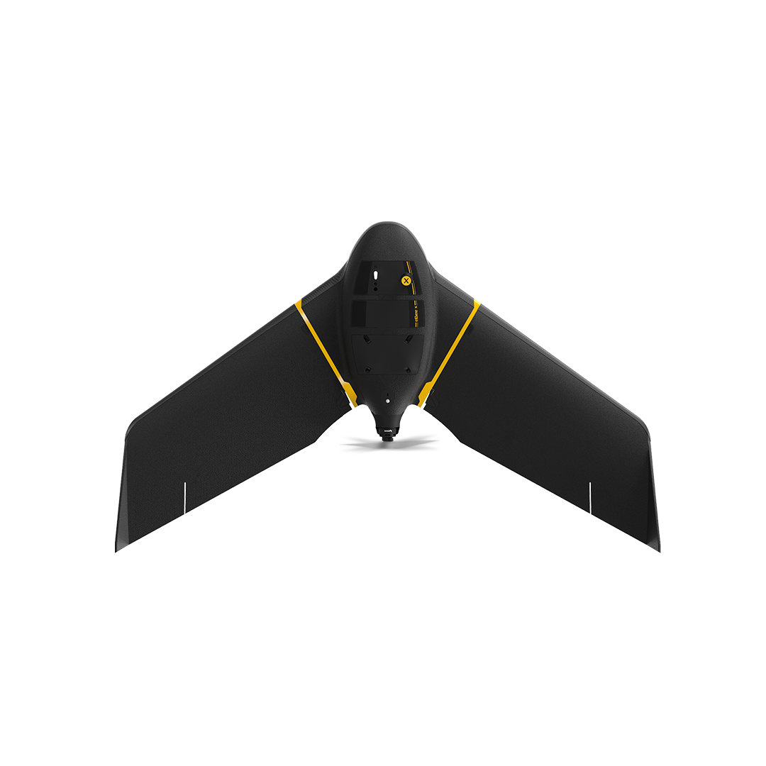
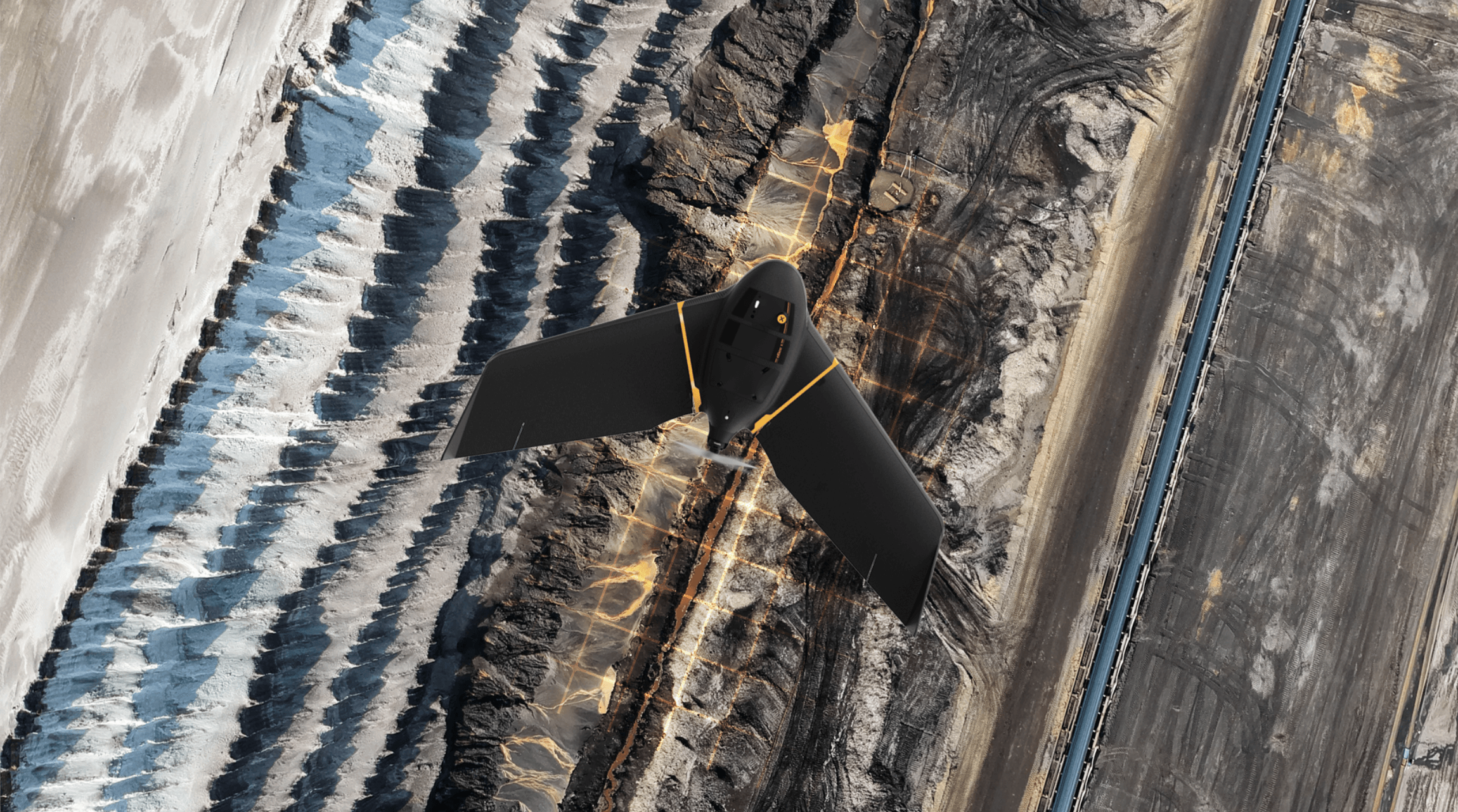
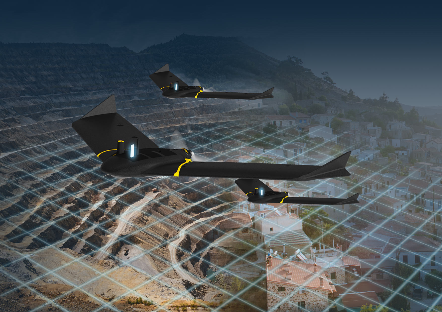
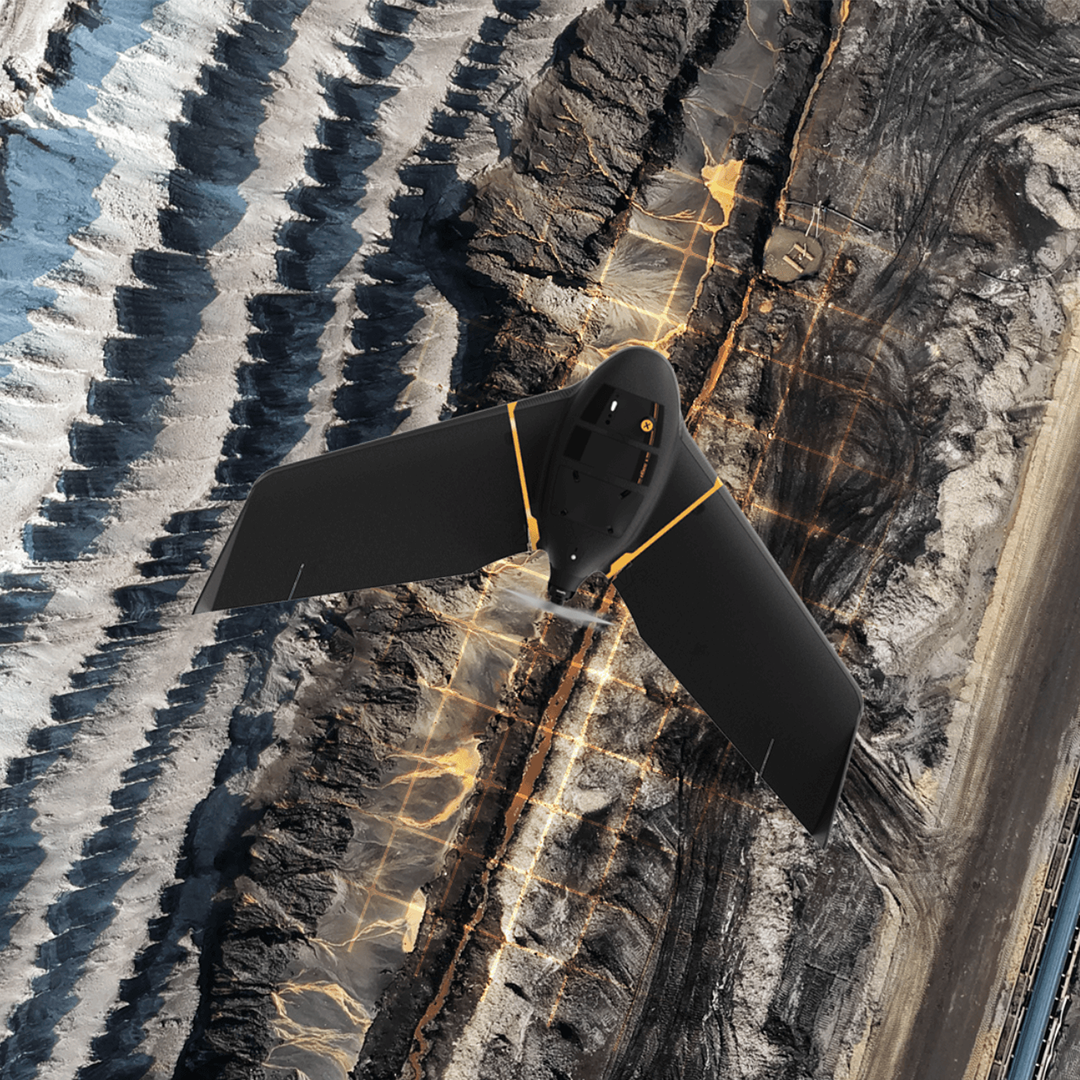
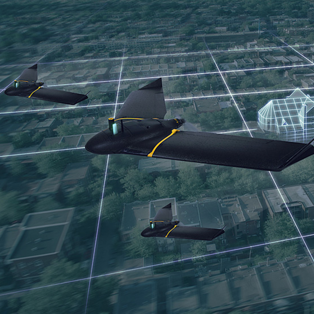
The eBeeX is the fixed-wing drone for all your aerial mapping needs and has been designed to boost the quality, efficiency and safety of your data collection. It has a camera to suit every job, the accuracy and coverage to meet every project’s requirements, and can work virtually every type of site.

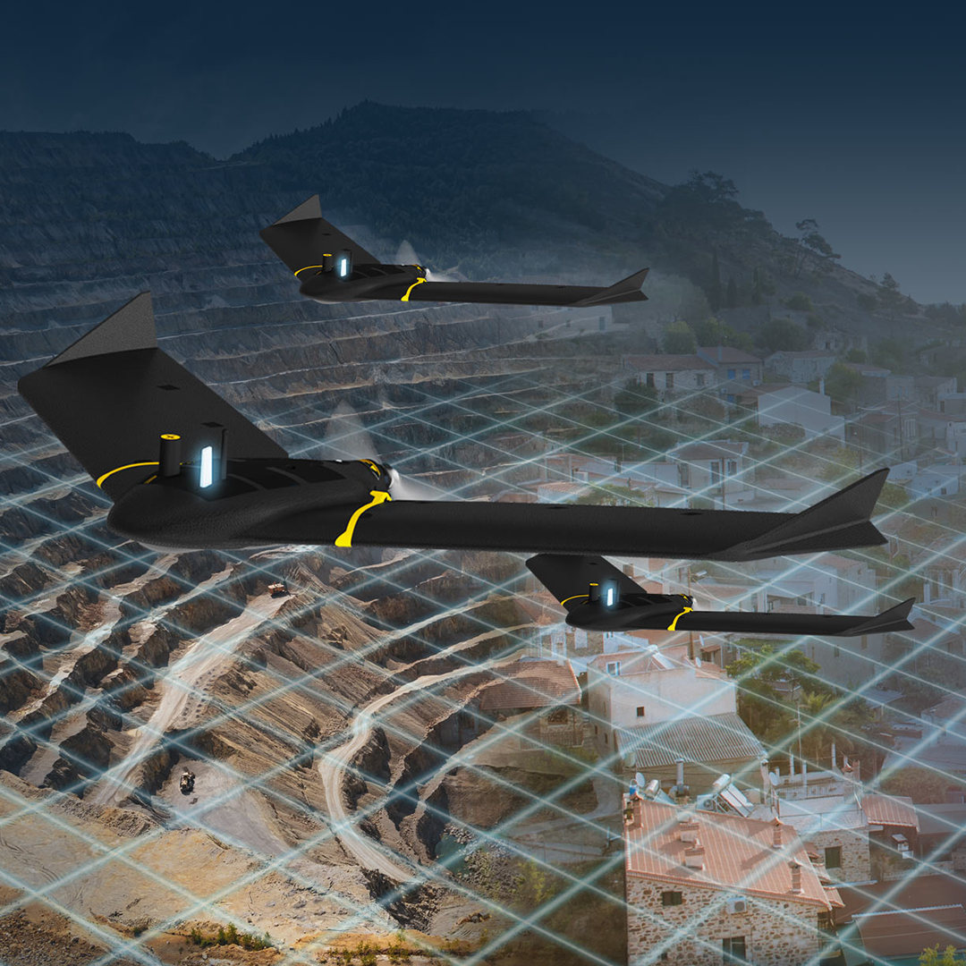
3D, RGB, multispectral and thermal cameras, RTK.
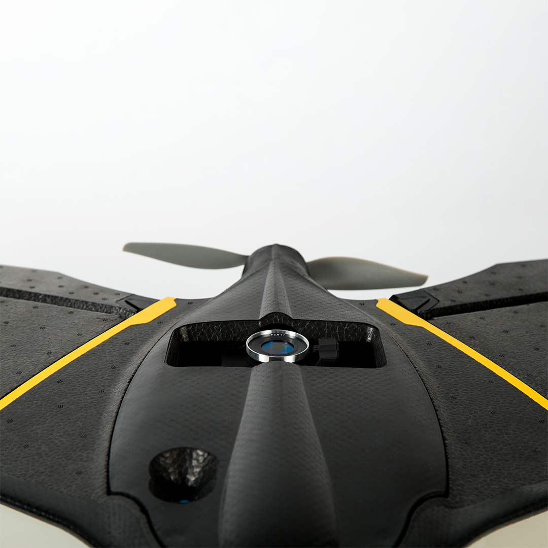
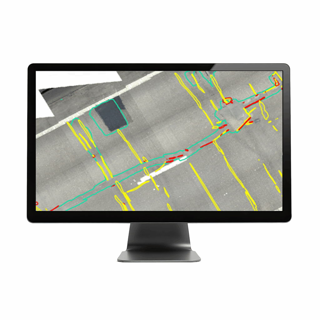
Compatible with a wide range of interchangeable photogrammetry cameras that capture reliable aerial imagery – from 3D models to orthomosaics – to suit every mapping job.

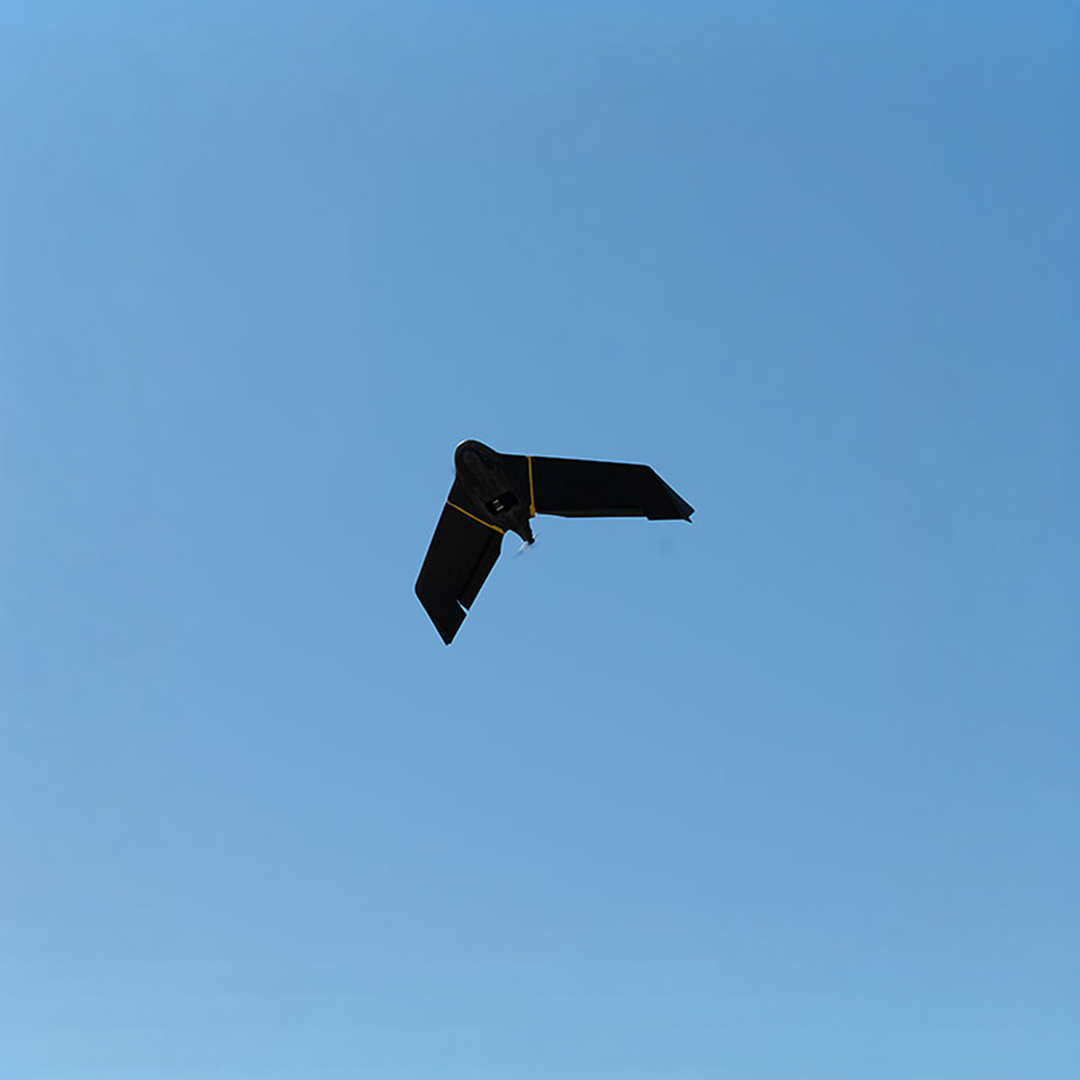
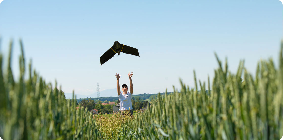
Easy hand launch
Designed to restart the mission as soon as the drone lands and to be simply hand-launched.
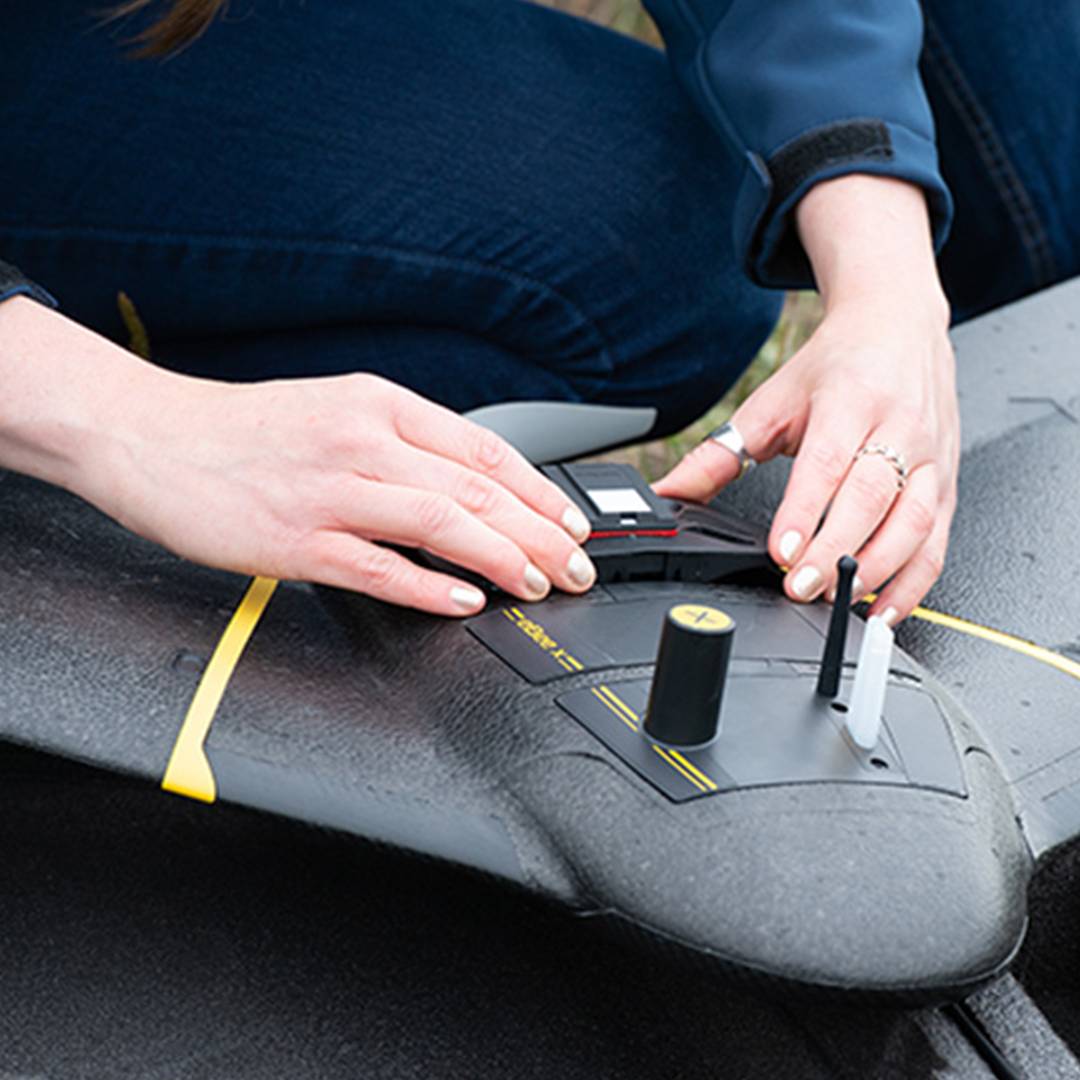
3 minutes deploy
Operated by one user and easily transported in a backpack with all your gear in one spot.
Automated flight
Automated flight and landing with eMotion mission planning software, which is included.
The eBee X surveying drone meets the highest possible quality and ground risk safety standards, and thanks to its lightweight design, the effects of ground impact are reduced.
• Cruise speed 40 -110 km/h (11-30 m/s or 25-68 mph)
- Wind resistance Up to 46 km/h (12.8m/s or 28.6 mph)
- Maximum flight time 59 with endurance activated 90 minutes.
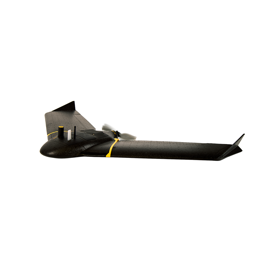
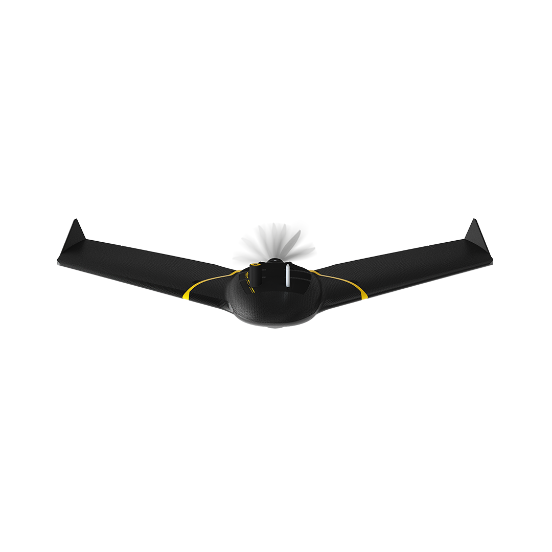
- Wingspan 116 cm (45.7 in)
- Weight 1.4 kg (3.1 lb)

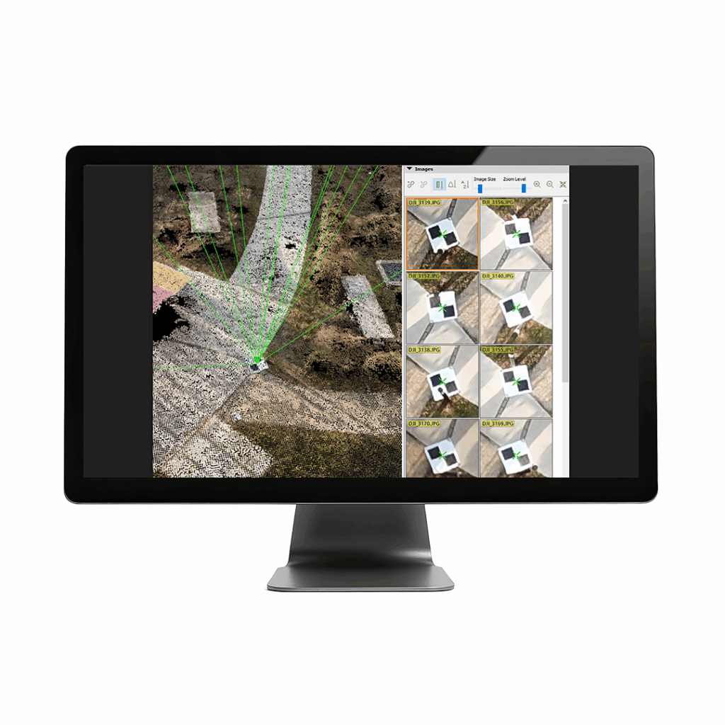
Pix4D Mapper
Leading photogrammetry software for professional drone mapping