Five strategic moves to stay ahead in 2026
As we move towards the end of the year, we have the next best thing to hindsight: a number of recent insights and reports from Trimble that give us a clear view of what’s coming next.


As we move towards the end of the year, we have the next best thing to hindsight: a number of recent insights and reports from Trimble that give us a clear view of what’s coming next.
Fortunately, as we move towards the end of the year, we have the next best thing to hindsight: a number of recent insights and reports from Trimble that give us a clear view of what’s coming next.
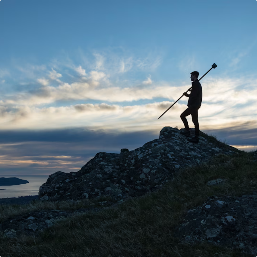
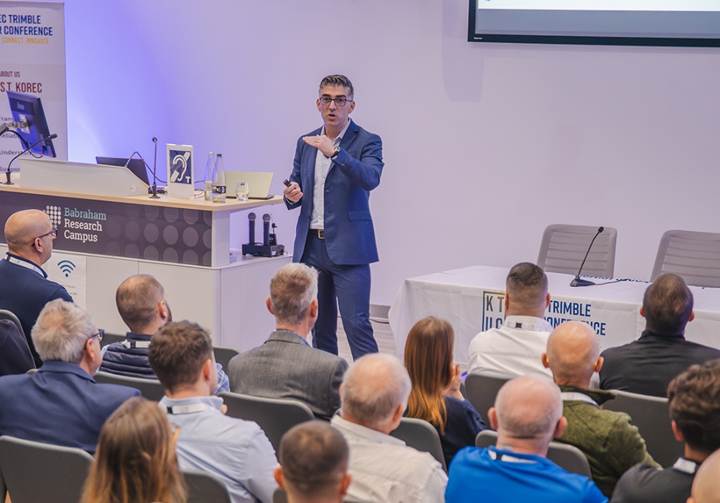
Following November’s KTUC day, we’ve been revisiting a pair of standout presentations from Trimble: a forward-looking keynote from Boris Skopljak, VP of the Geospatial Sector, and a UK-focused future of Trimble data capture session from Lee Braybrooke, Key Accounts & Alliances Director. Throw November’s Trimble Dimensions event and a newly published Trimble report into the mix and we’ve got plenty of insight as to what’s coming our way.
This piece is a quick round-up based on these sources which can all be read via the on page links.
A forward-looking keynote from Boris Skopljak, VP of the Geospatial Sector
Our industry’s challenges are well-documented and they’re not going away on their own. The most frequently cited include a shortage of skilled people, slow adoption of digital workflows due to perceived complexity or unfamiliarity and increasingly siloed data – we’re getting better and better at capturing information, yet not nearly as effective at managing, sharing, or making the most of it.
If we are to successfully address these challenges, there are five key steps that Trimble recommends we take:
Let’s take a closer look.
It’s one of the hot topics within our industry and we already understand that automated workflows remove repetitive manual tasks, deliver faster design & modelling cycles and improve accuracy in jobsite documentation and coordination between teams. But how can we improve?
Step forward Trimble’s agentic AI platform, a collection of core services, security frameworks and tools. Built on top of this platform is Trimble Agent Studio which is currently being piloted with select customers to support its AI strategy by:
For more information, visit our recent KOREC blog
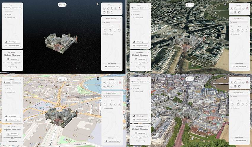
Accurate data underpins everything in geospatial and construction. It shapes decisions, affects project outcomes and keeps day-to-day operations running smoothly. Cloud platforms give you a single, central place to manage that information, making sure everyone is working from the latest, most reliable version. KOREC customers tell us time and time again that siloed data is a regular occurrence and an enormous hinderance to their progress, which is why we offer a range of cloud options – Trimble Connect, Trimble Reality Capture, Trimble Terraflex and SOARVO.
The Trimble report states that the geospatial industry will increasingly adopt cloud-based platforms for managing large datasets and facilitating near real-time field-to-office-to-field workflows for better outcomes.
Important to note is that industry users state the importance of using platforms that prioritise data security and offer robust backup and recovery options.
Leverage cloud solutions
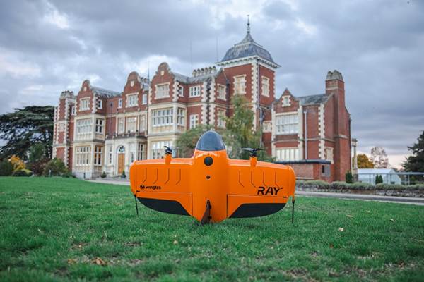
Discover SoarvoA user-friendly software interface can significantly reduce the training burden and speed up the adoption process, making advanced technologies more approachable for both new and experienced users. Balancing user-friendliness with professional requirements is a key challenge and on that score, Trimble has already made great inroads. For example, the ease of purchase and use of Trimble Catalyst by those outside of our industry and of course through the massive take up of 3D Laser Scanning through the intuitive workflows of the Trimble X9 series.
Trimble predicts that developers will focus on creating solutions that offer a seamless user experience, incorporating features such as guided workflows, contextual help, and simplified data visualisation – all good news.
Within our industry, there is an increasing emphasis on spatial awareness and digital data analysis and management, but surveyors must also have a solid understanding of geodetic principles and coordinate systems to ensure the accuracy and integrity of their work. As the industry adopts advanced technologies, surveyors must become proficient in digital tools and software.
How is that being achieved? Trimble survey respondents use on-the-job training (69%), in-person training sessions (57%) and video tutorials (56%), but approaches vary widely, with some designating an expert, some getting group support and some relying on the vendor.
The Trimble report predicts that professional development programs will likely place greater emphasis on digital skills and that the role of the surveyor will evolve to encompass both traditional surveying techniques and advanced digital methodologies.
And finally…the Trimble report urges us to encourage a culture of innovation by leveraging the skills and perspectives of digital natives. Their familiarity with technology can drive the development of new applications and enhance the overall adoption of advanced solutions. Virtual Reality, 3D Laser Scanning, robotics, AI, Reality data capture, data analytics… today’s careers in geospatial offer numerous possibilities and are a perfect fit for the tech-savvy, early adopters of Generation Z. These motivated individuals seek a career path that allows them to evolve, to use technology in an exciting and gratifying way, and to stay relevant throughout their working life. What better match than a career in geospatial.
Foster innovation
Let’s travel back a decade when Trimble’s Lee Braybrooke looked at the current year and beyond in relation to geospatial trends. In 2015 he focused on 2D-3D, Mobile Mapping, Imaging and GNSS ubiquity. 10/10 Lee! Lee’s presentation at KTUK can be viewed here.
View the Trimble report ‘State of the geospatial industry 2025’ here
Get in touch