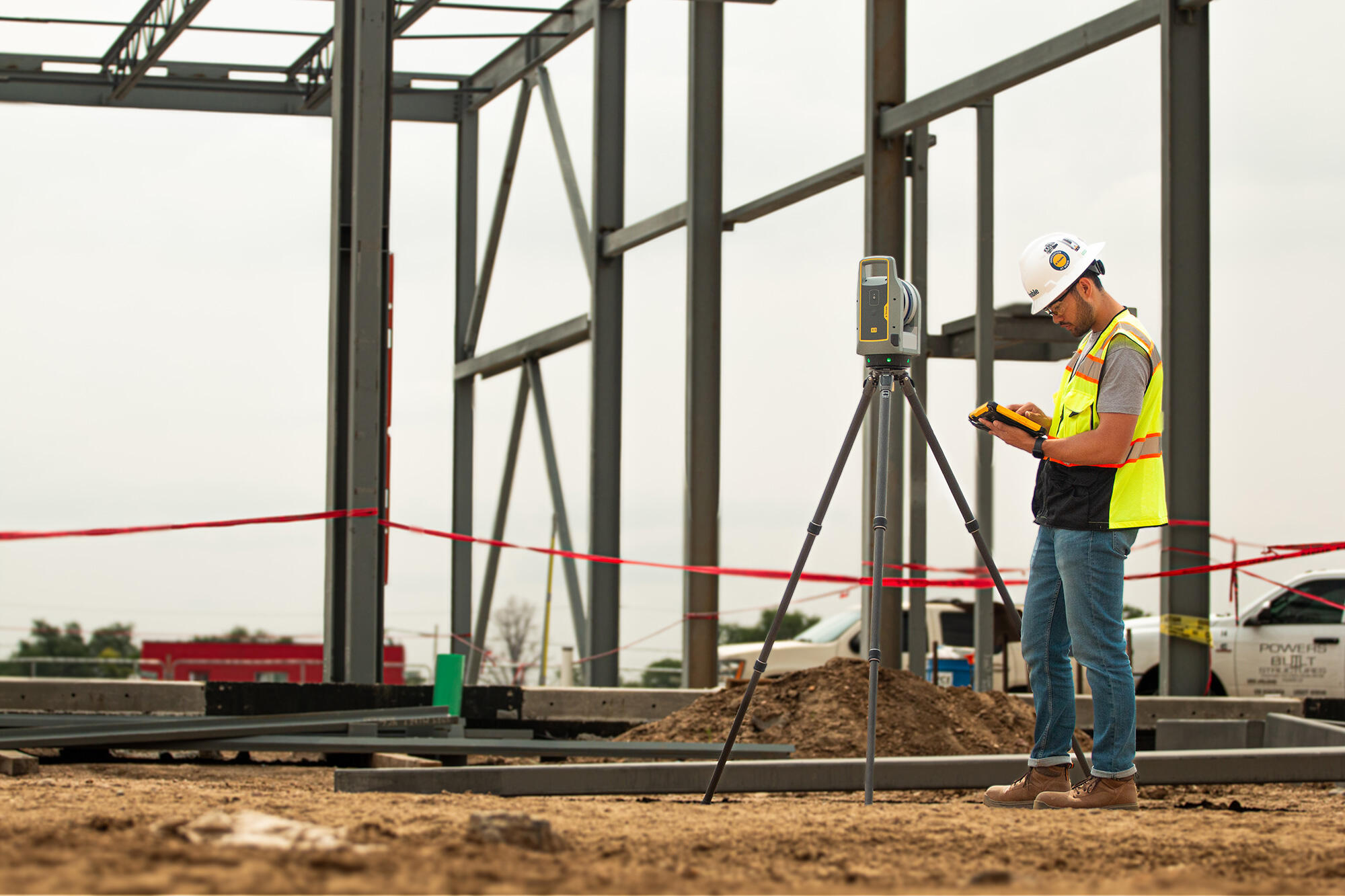
TRCPS – Trimble Reality Capture Platform Service
£POA
PRODUCT ENQUIRY
Collaborate, share, store and manage large amounts of reality capture data in the cloud
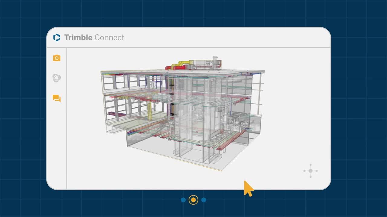
Trimble Reality Capture platform service (TRCPS)
Put your reality capture data to work, wherever your team is.
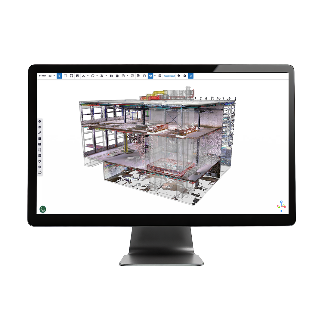
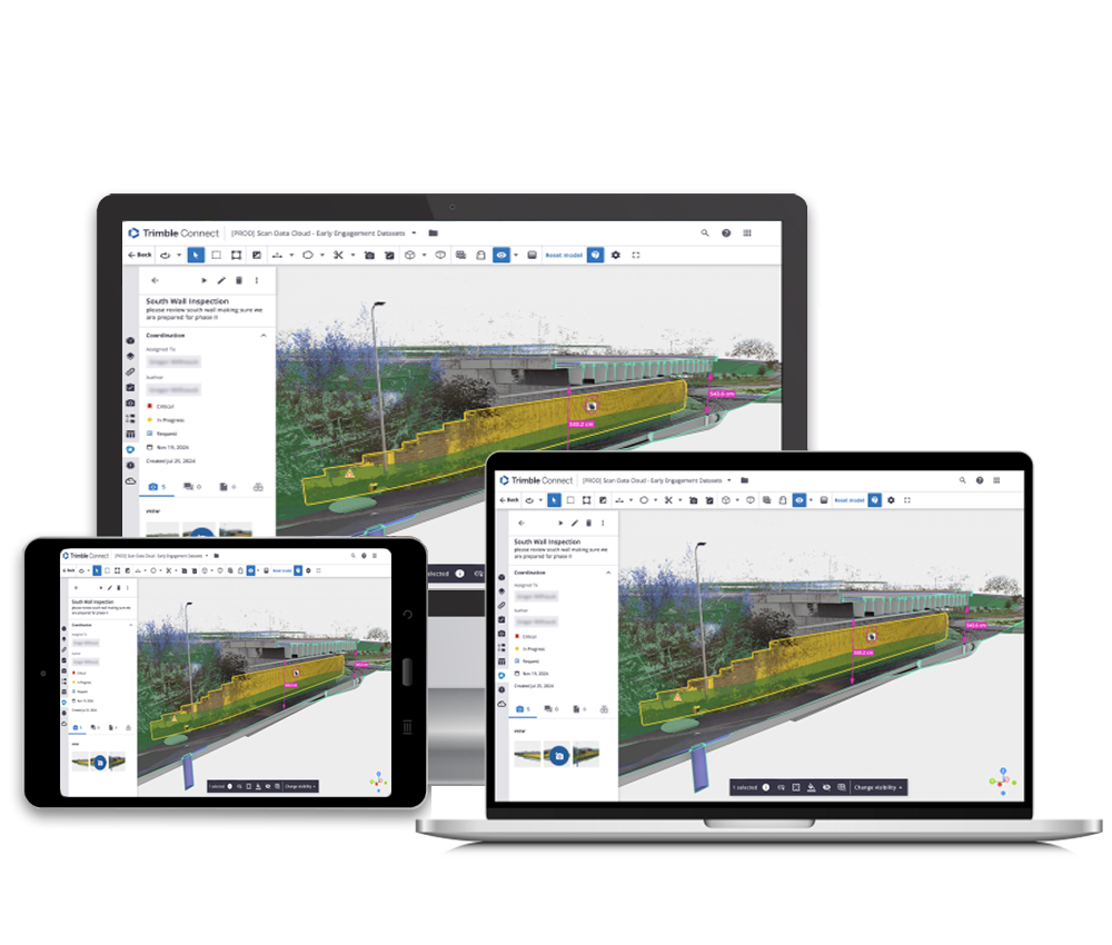
Large point clouds are valuable, but only if the people making decisions can use them. Trimble Reality Capture Platform Service (TRCPS) brings scans, imagery and design models together in Trimble Connect, giving project teams a clear view of what’s on site. Surveyors, engineers and clients can explore the data in a web browser, check measurements and share findings without passing huge files back and forth.
Key Capability of Trimble TRCPS
- Store and manage large reality capture datasets in the cloud
- View point clouds, panoramic imagery and design models together
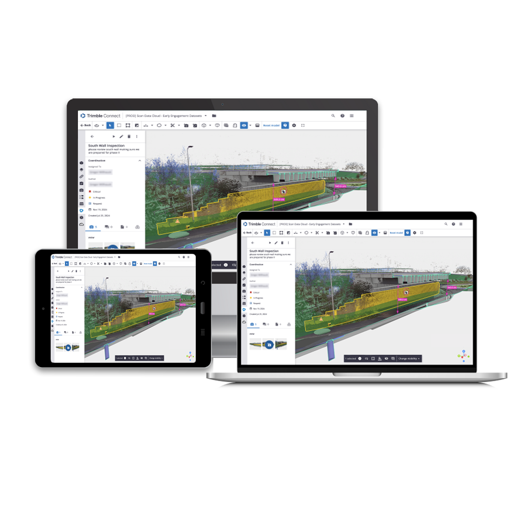
- Measure, mark up and share views with the wider project team
- Compare captured conditions with design models to spot clearance issues and discrepancies
- Bring in data from terrestrial scanning, mobile mapping and UAV workflows
The benefits that matter
- Catch problems while there’s time to act – check the design against what’s actually on site before a discrepancy becomes costly rework
- Give everyone the full picture – share an explorable view of site conditions, so conversations start with the same evidence
- Get more from every survey – make captured data useful beyond the survey team, from design review through to construction decisions

Accelerates complex projects
Professionals in surveying, building construction, transportation and infrastructure can now collaborate on complex projects more quickly and effortlessly.
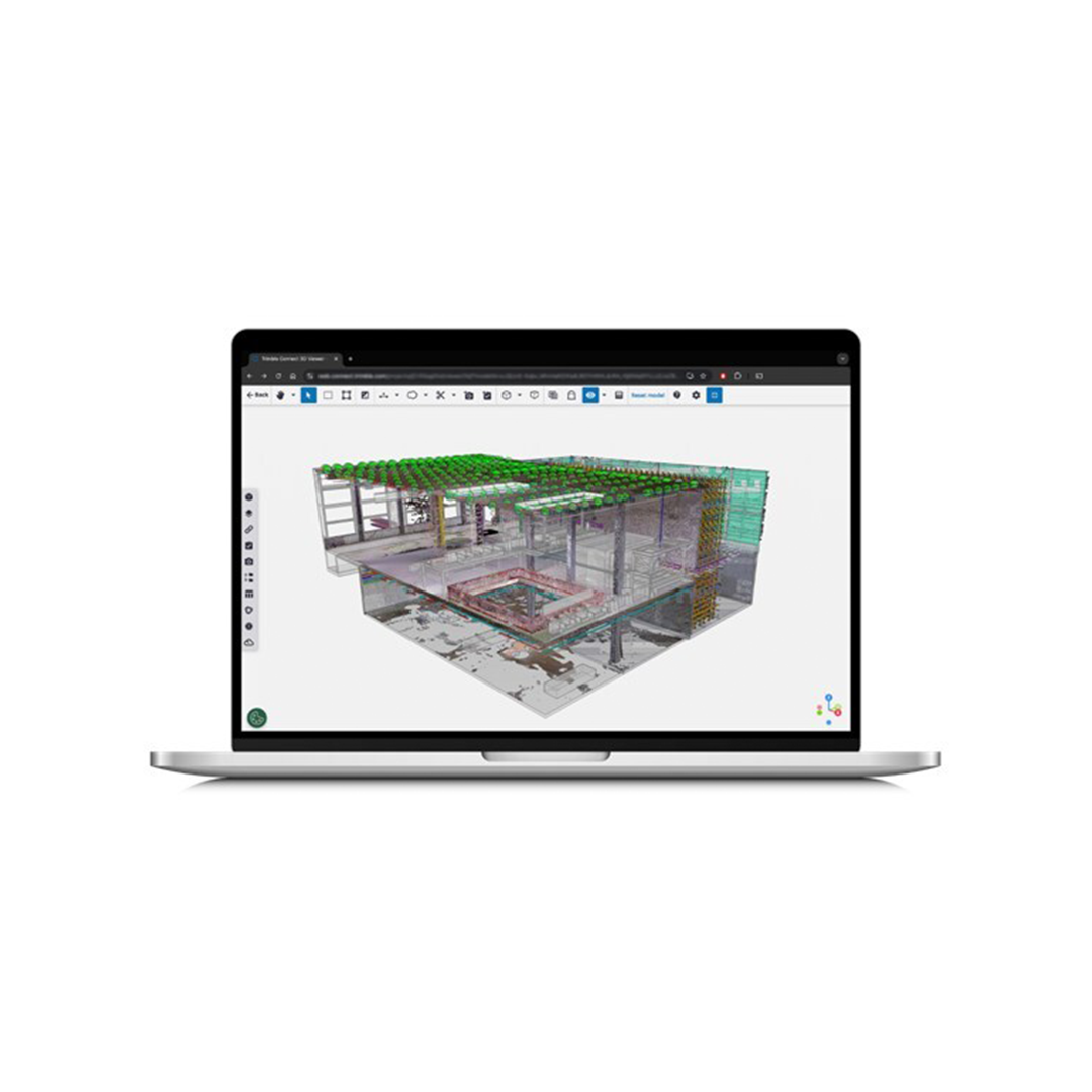
Enables diverse teams
Provides an intuitive experience for complex data visualization, with navigation that makes it easy for all stakeholders to access and understand. Regardless of whether you’re in the field or in the office, see the real world through reality capture data.
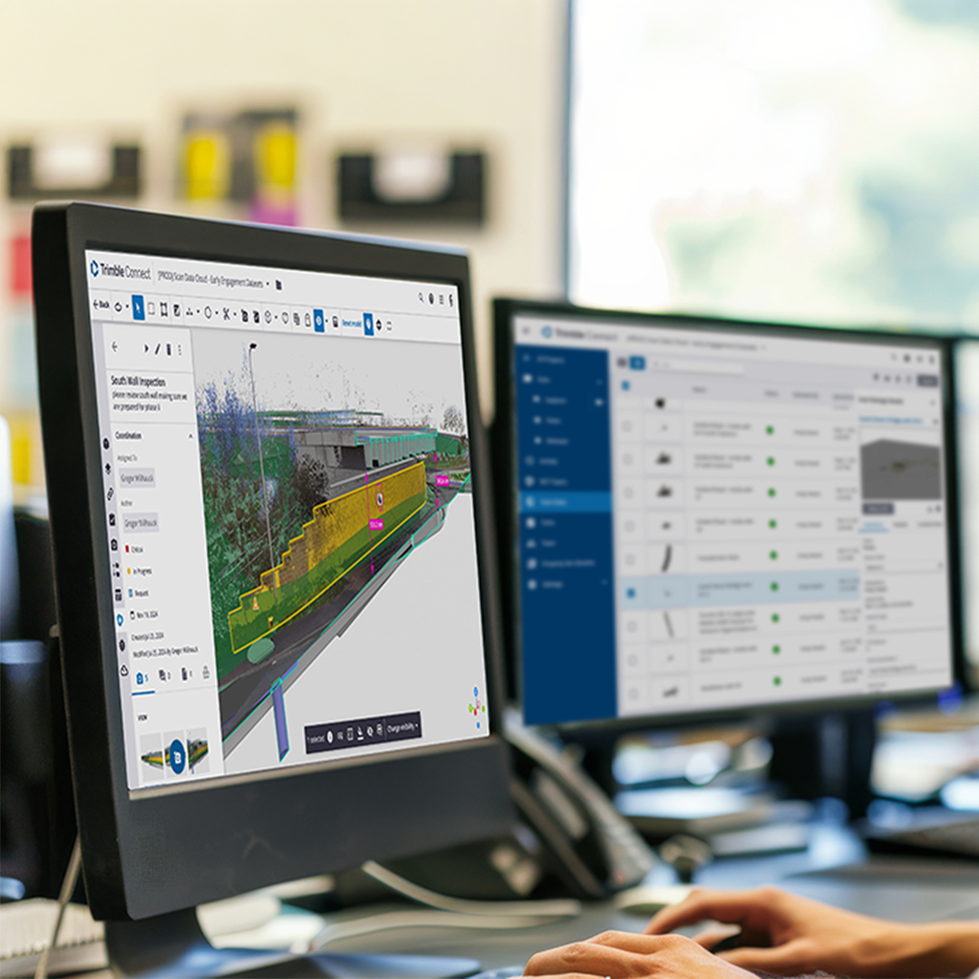
Cloud-based platform
Gain a single source of truth for your data, accurately representing changing real-world conditions and secured in a cloud-based platform with reliable account permissions.
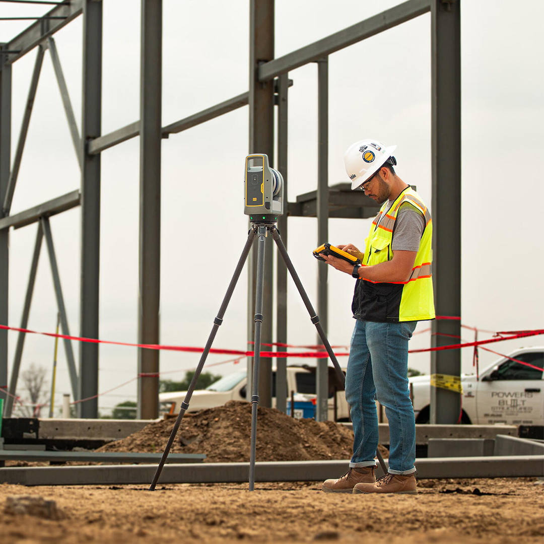
Unlocking reality capture data
Unlock the power of reality capture through intuitive, web-based workflows, and let data drive your decision making.
Ideal for projects involving multiple stakeholders, enhancing decision-making and supporting connected workflows for the most holistic view of the project. TRCPS handles point clouds and imagery from terrestrial scanning, mobile mapping and other reality capture workflows. Teams can publish processed data directly from Trimble Business Center or Trimble RealWorks, or import LAS, LAZ and E57 files. Once uploaded, they can explore the data in a browser, take measurements, create cross-sections and compare captured conditions with design models
Connected workflows
Work smarter with TRCPS & Trimble Connect
TRCPS works as an extension of Trimble Connect, so reality capture data sits within the same project environment as drawings, models and other shared information. That lets a designer check a model against a point cloud, an engineer flag a clearance concern, and a client see the site conditions behind a decision. Everyone can review the same project context without relying on exported screenshots or separate copies of large files.