HS2 Productivity Gains with the Trimble R12i GNSS

Rajesh Madanlal with the KOREC supplied
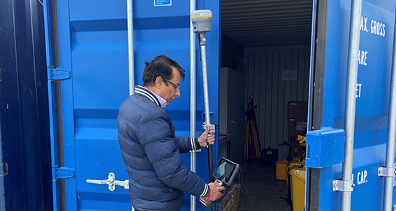
Trimble R12i
For the EKFB team working on HS2’s Aylesbury section, the unique technologies of the Trimble R12i are cutting the time on site by couple of hours each day and increasing field productivity by 30%.
Download a PDF of the story here
The HS2 route in Buckinghamshire and Oxfordshire will run through The Chalfonts, Central Chilterns, to the south-west of Aylesbury and across north-east Oxfordshire. Appointed to deliver civil engineering works across an 80km section in this area is EKFB, a joint venture that brings together Eiffage, Kier, Ferrovial Construction and BAM Nuttall.
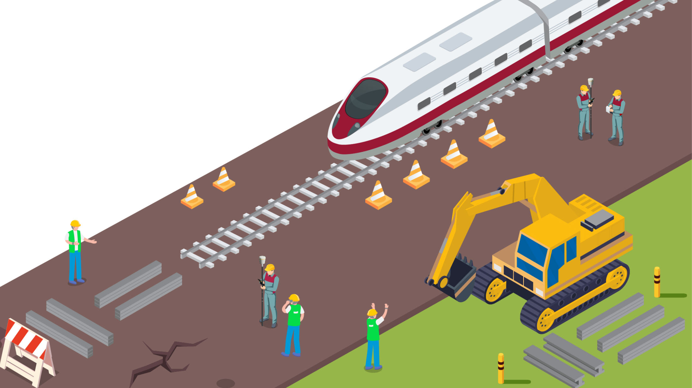
This 80km section is predominantly serviced with Trimble solutions that include over sixty GNSS systems and thirty robotic total stations as well as ground-breaking technologies such as the SX10 Scanning Total Station and the X7 3D Laser Scanner. The extensive Trimble survey fleet was selected both on its own merits and as an important part of a workflow that would see easy movement of data around a project that also utilises Trimble Machine Control and Trimble WorksOS (cloud-based operating system for the efficient tracking of work and jobsite date from the field).
However, whilst the site is decidedly Trimble, within each section, survey team managers face site challenges that are both common to the overall project and unique to their section. These challenges influence their decisions on what instruments to use.
Saving a couple of hours, a day
Responsible for the survey team on the Aylesbury 15km section is Senior Land Surveyor, Rajesh Madanlal. His team includes three land surveyors/drone pilots who undertake a variety of tasks such as topo surveys, boundary surveys, vegetation clearance, checking all design, establishing primary and secondary control, recording as-builts and earthworks and setting out temporary drainage.
As well as the usual pressures of delivering works to budget and within tight time schedules, Rajesh was also faced with a number of other challenges that, although minor, would need to be addressed in order to mitigate any delays to works:
- A wide range of survey tasks that would see surveyors working near/under tree canopy and along dense hedgerows.
- Uneven ground and ditches that required surveying.
- Machine Control on site requiring a responsive survey team spending minimal time in an area with heavy machinery.
Rajesh had worked previously on the A14 Cambridge to Huntingdon Improvement scheme which saw the successful implementation of new Trimble technologies and work practices across the project. He was therefore keen to trial the Trimble R12i GNSS as a potential solution to some of the most pressing challenges at the Aylesbury site.
Saving time / fast response
Before purchase, Rajesh trialled a KOREC supplied Trimble R12i from another of the project’s sections on a number of topo surveys. The R12i was used in conjunction with a Trimble TSC7 Data Logger and Access field software. In particular, he was interested to explore the potential of the Trimble ProPoint GNSS Technology which delivers increased accuracy, reliability and productivity near tree canopy and a strong performance near structures, in this case, pylons.
“Whilst we’re still clearing the site, we’re carrying out lots of hedge line surveys near or under dense vegetation. Previously, we would have set up temporary benchmarks and used a total station. This can be a time consuming business and also means that we need to carry two sets of equipment to cover any eventuality. Next to pylons or dense vegetation a standard GNSS can struggle, but with the R12i that’s not been the case. It’s reliably picked up the high accuracy positions that we need in every situation. It takes less than a minute to get initialised and then we’re good to go. Even on a small daily survey we’d expect to save lots of time in the field simply because we’re not having to set up the total station.”
Increasing productivity by 30%
The Aylesbury survey team has also made significant time savings with the R12i’s Trimble TIP Tilt Compensation Technology that lets users forget about levelling the pole and watching the bubble. Instead, the surveyors have been able to focus on the pole tip location and adjust it accordingly. This has been particularly useful for the Topographical Surveys and when working on uneven ground. Again, Rajesh cites this Trimble technology as bringing a very noticeable increase in productivity. He reports, “Without a doubt the Trimble R12i has proved its worth on this site and with no need to repeatedly adjust the pole tip position and re-level the receiver when measuring points, we’ve further increased our productivity by around 30% each day. Our team can go out confident that the day will go smoothly with pretty well seamless surveying. We also have a much better idea of how long a job will take and that enables us to plan our time more effectively.
Taking the next step – Active Sync
Under the guidance of Rajesh, the Aylesbury team is in the initial stages of using Trimble Active Sync on the site. Trimble Sync Manager is adesktop application which sends and receives Trimble Access jobs through the Trimble Connect cloud. Data can be exchanged with Trimble Business Center (used on the HS2 EKFB sites) and the PC file system. The system will be used initially by the survey team, which is due to expand shortly, speeding up the flow of data between the office and site.
Rajesh concludes, “Basically the Trimble R12i is a solution that enables you to be 30% more productive each day and that is the simple reason behind our choice. Even with so many Trimble instruments on this 80km section, issues have been minimal and the support we’ve had from KOREC has been fantastic.
KOREC provides monthly software and hardware training for our team and always delivers a fast outcome to any niggles. Now our team is trained on the hardware, even those who have always used other manufacturer’s GNSS have been won over to the Trimble R12i!”