How 3D Survey Scanners Transform Infrastructure Projects
Discover how 3D laser scanning is transforming infrastructure projects, delivering faster, safer and more accurate data across every stage of the project lifecycle.


Discover how 3D laser scanning is transforming infrastructure projects, delivering faster, safer and more accurate data across every stage of the project lifecycle.
Infrastructure projects have always been defined by their complexity: multiple disciplines working from different datasets, tight tolerances in difficult environments, and consequences for error that range from costly rework to genuine public safety risk. 3D laser scanning addresses several of the most persistent sources of those problems at once, delivering comprehensive, accurate spatial data faster and more safely than traditional survey methods. This article looks at how that capability plays out across the infrastructure project lifecycle, and across the specific sectors where scanning has made the most significant practical difference. For a detailed look at scanner accuracy and how to get the most from the technology, see our related guides on laser scanner accuracy and common laser scanning mistakes.
Surveying a complex infrastructure asset with traditional instruments is slow, disruptive, and carries inherent gaps. A total station captures discrete points: the surveyor chooses what to measure and where to stand, and everything else is interpolation. On a busy road, a live railway, or an operational treatment works, the time available to access the asset safely is limited and the consequences of a missed measurement are serious. Condition data gathered from walkovers and visual inspection is subjective and difficult to reproduce. Design assumptions built on incomplete as-built records lead to clashes discovered on site rather than on screen.
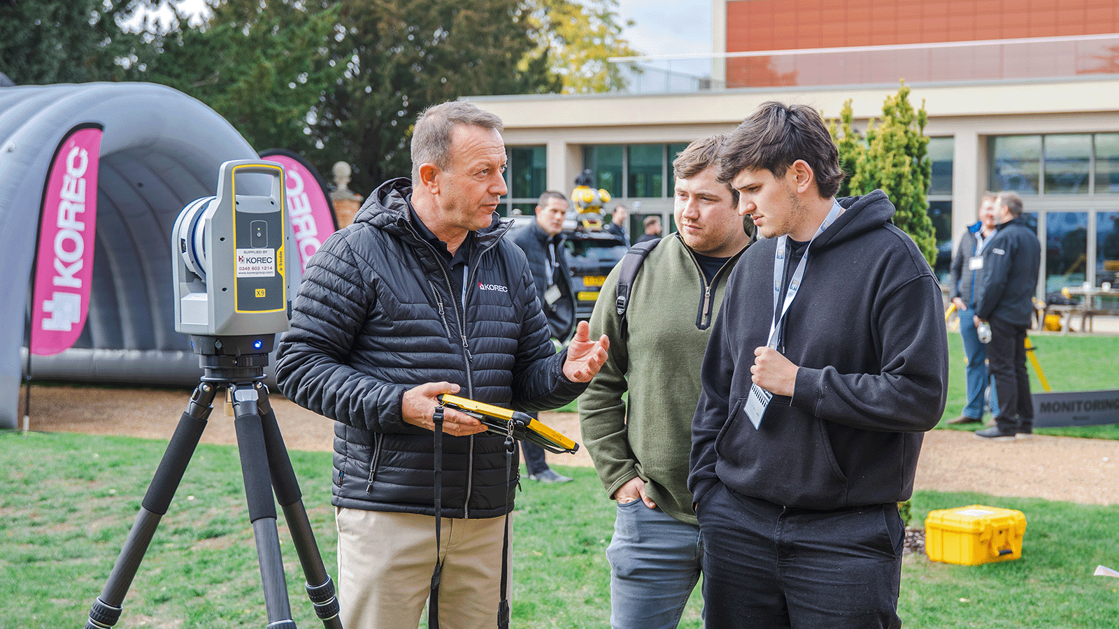
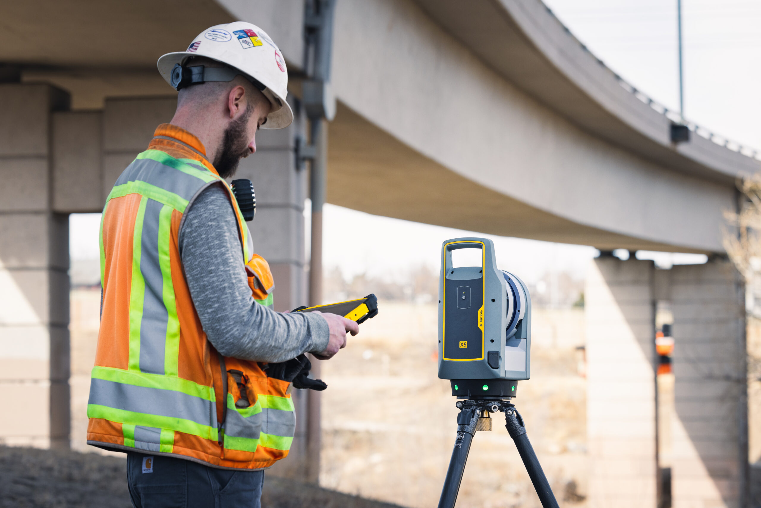
3D laser scanning changes the fundamental data collection model. A single scanner position captures millions of points in all directions simultaneously, producing a dense, objective record of everything within range. Surfaces, dimensions, clearances, and spatial relationships are all captured in one pass. The Trimble X9 captures up to one million points per second at ranges of up to 150 metres, with automatic self-levelling and self-calibration that keeps data quality consistent even in challenging site conditions. The result is a complete, measurable record of existing conditions that can be interrogated repeatedly in the office without returning to site.
The earliest and highest-value application of 3D scanning on an infrastructure project is existing conditions capture: building a precise, comprehensive picture of what is already there before any design work begins. This is where the largest proportion of avoidable cost in infrastructure delivery originates, from designs that do not match reality. A laser scan of a bridge, a road corridor, a tunnel cross-section, or a pump station produces a dataset from which engineers can extract any measurement they need, verify clearances, identify constraints, and model existing geometry directly into design software, without assumptions.
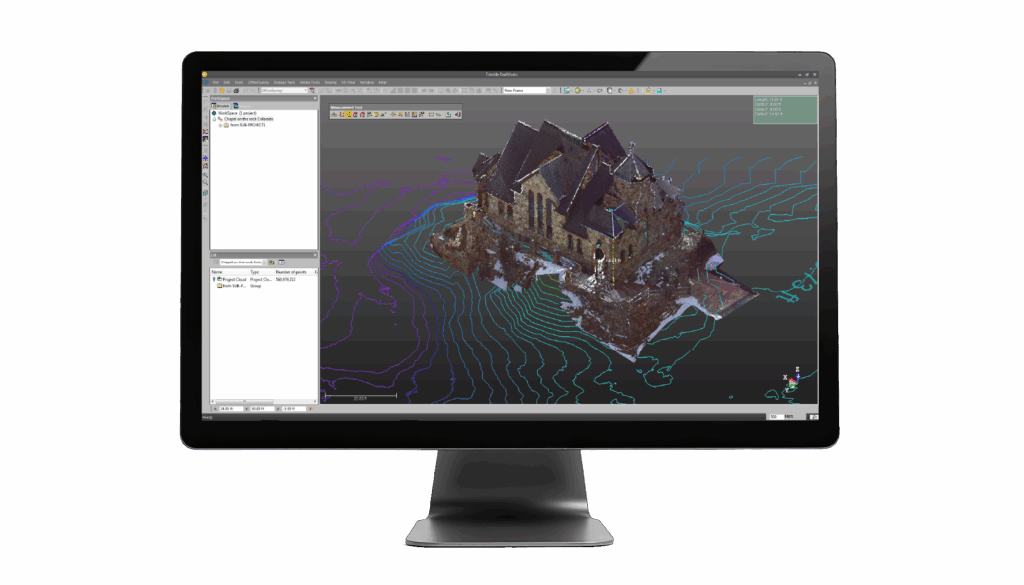
Scan-to-BIM workflows, in which point cloud data is used to create or verify a Building Information Model of an existing asset, have become standard practice on major infrastructure schemes. The point cloud becomes the ground truth against which the design model is validated, clash detection is run, and quantity take-offs are verified before a contractor mobilises. Finding a clash in a point cloud costs nothing to resolve. Finding it on site costs significantly more.
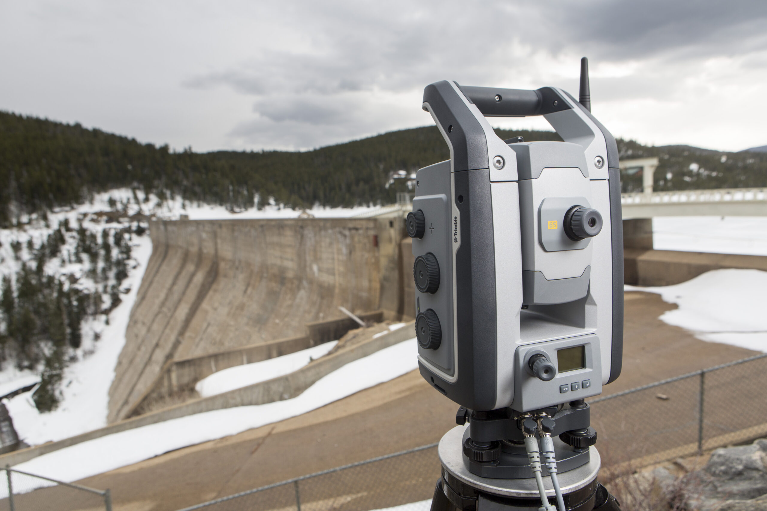
During construction, 3D scanning supports as-built documentation and quality verification with a speed and completeness that periodic total station checks cannot match. Regular scanning of works in progress creates a time-series record of construction sequence, supports payment applications with objective volumetric data, and allows comparison against the design model to identify deviations before they are built over. The Trimble SX12 scanning total station is particularly well suited to construction applications where both survey-grade coordinate measurement and point cloud capture are needed in the same workflow: it combines a high-accuracy total station with scanning capability in a single instrument, supporting setting-out, as-built verification, and progress monitoring without switching between equipment.
Once infrastructure is built and in service, 3D scanning supports the asset management programmes that determine how safely and efficiently it operates over its design life. Condition surveys carried out with a scanner produce objective, measurable data that can be compared directly against previous surveys to detect deterioration, deformation, or movement. Bridge deck profiles, tunnel convergence measurements, retaining wall inclinations, and embankment surface changes can all be monitored through periodic scanning campaigns that build a quantified picture of asset behaviour over time. That data feeds maintenance planning, intervention prioritisation, and, where assets are nearing the end of their design life, decisions about refurbishment or replacement.
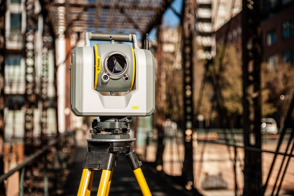
Highway surveying involves long corridors, live traffic, tight access windows, and the need to capture everything from carriageway geometry and drainage to structure dimensions and roadside features in a single coherent dataset. Mobile laser scanning, mounted on a vehicle driven along the route, is increasingly used for initial corridor capture, delivering point clouds of entire road sections in a single pass. Static scanning with instruments such as the Trimble X7 or X9 supplements mobile data at structures, junctions, and areas requiring higher point density. Pavement condition, kerb alignment, sight line analysis, and highway widening design all benefit from having a complete, dimensionally accurate corridor model to work from rather than a series of cross-sections and spot levels.
Rail presents some of the most demanding scanning conditions in the infrastructure sector: tight gauge clearances, safety-critical dimensions, restricted possession windows, and assets that must remain operational while survey work is carried out. 3D scanning has become an established tool for track geometry surveys, structure gauge assessments, platform edge profiles, and tunnel cross-section monitoring. Capture during engineering possessions, when the line is closed to traffic, allows scanners to be positioned on the track itself, delivering the closest possible measurement of rail geometry and overhead line clearances. Tunnel lining surveys use scanning to detect deformation and displacement between monitoring epochs, providing early warning of movements that require intervention.
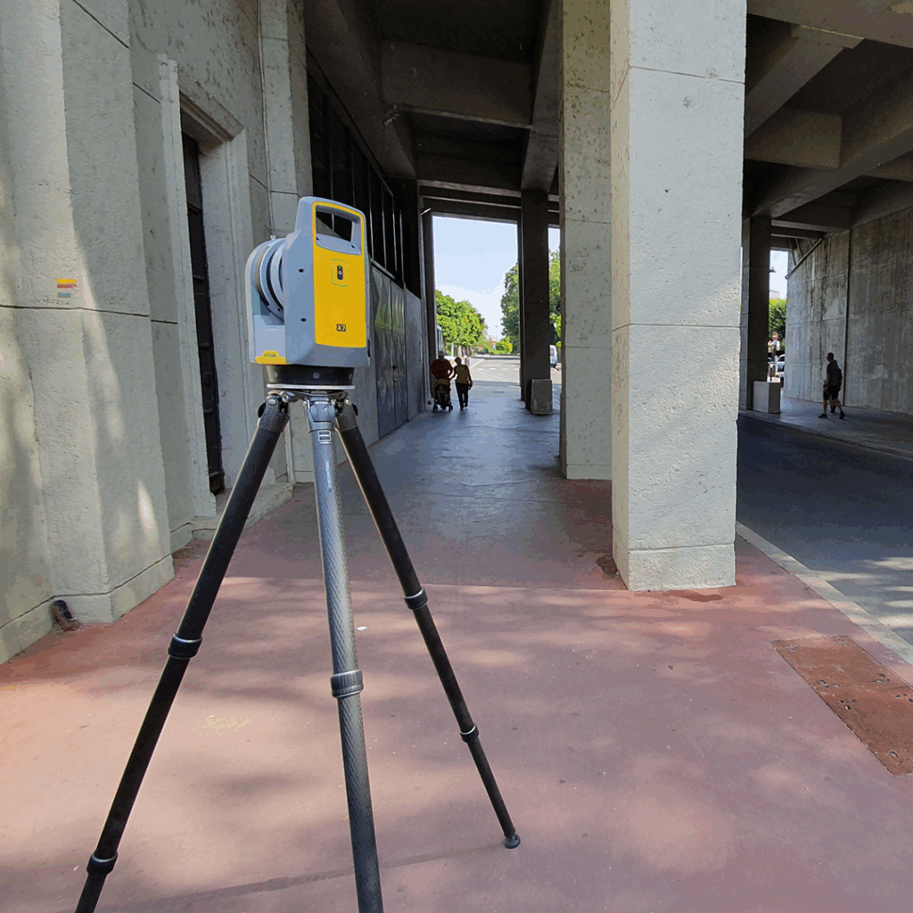
Bridge inspection has historically required expensive access arrangements: rope access teams, under-bridge vehicles, scaffolding, or lane closures. Scanning from accessible positions on the deck, the banks, or a boat below captures the geometry of structural members, bearing details, and soffit surfaces in detail that a visual inspection from a cherry picker cannot match. Comparison of successive scans at defined monitoring epochs allows deformation to be detected and quantified. For heritage structures, the Trimble X7 and X9 produce coloured point clouds that record decorative and architectural detail with the accuracy needed to support conservation repair specifications, providing a complete geometric record before any intervention work begins.
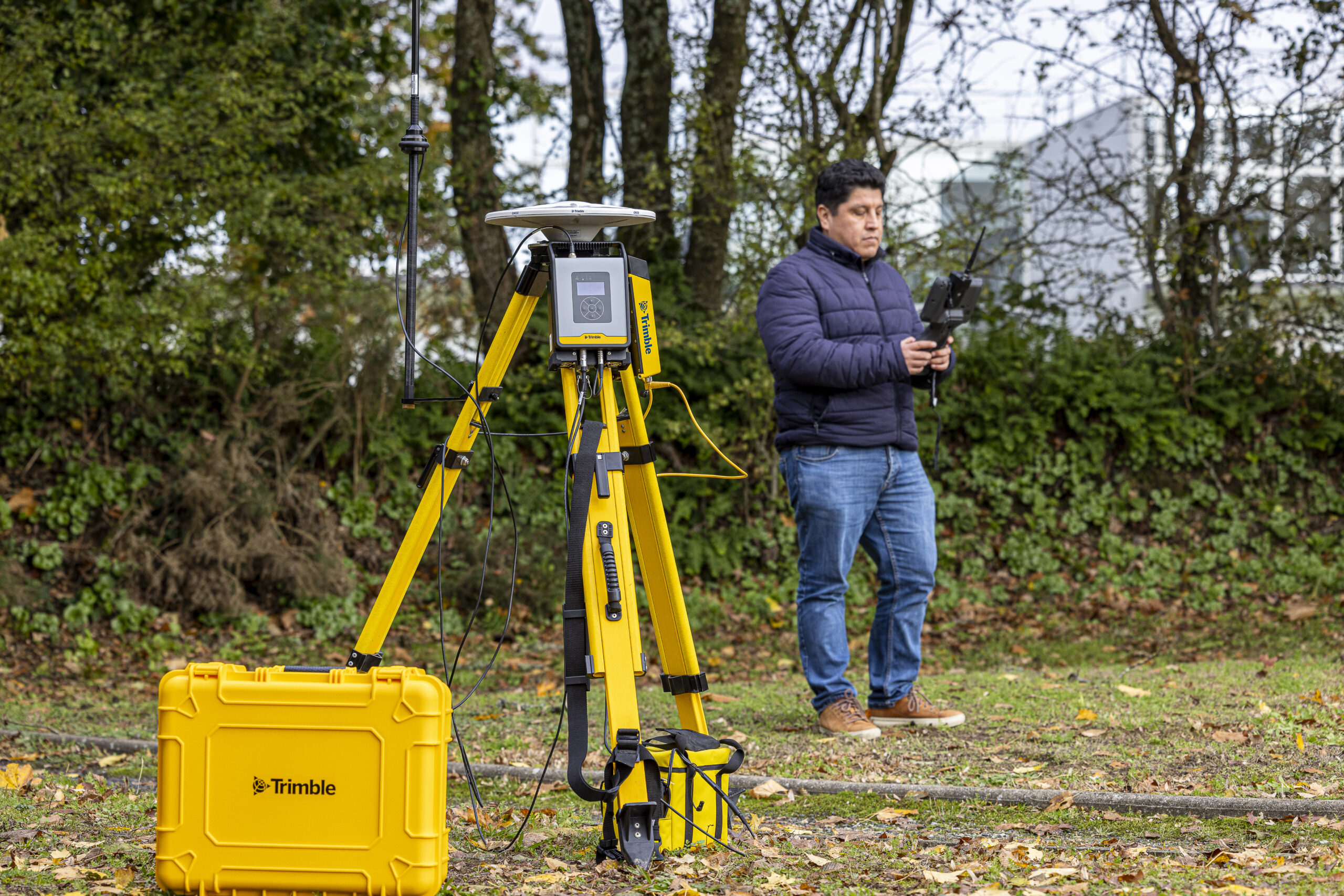
Treatment works, pumping stations, reservoirs, and pipeline corridors all present documentation challenges that scanning addresses well. Confined spaces, complex pipework, and operational plant that cannot be taken out of service for extended periods all make conventional survey difficult and slow. A scanner positioned in a plant room captures the full geometry of pipes, valves, supports, and equipment in a single scan, producing the as-built record needed for maintenance planning, capacity assessment, or upgrade design. For pipeline corridor surveys, the combination of static scanning for feature capture and GNSS for georeferencing delivers a spatially accurate record of above-ground infrastructure that feeds directly into GIS asset management systems.
Airport infrastructure carries some of the most stringent survey requirements of any civil environment: obstacle limitation surfaces, pavement bearing capacities, and navigation aid clearances all depend on precise spatial data. Runway and taxiway surveys, terminal expansion documentation, and apron condition assessments all benefit from scanning’s ability to capture large, open areas quickly and completely. Major civil projects including dams, port facilities, and flood defence infrastructure increasingly specify scan-based condition surveys as part of their asset management regimes, recognising that the cost of a scanning campaign is a small fraction of the cost of an undetected defect reaching a critical stage.
The value of a laser scan dataset is multiplied significantly when it connects to the broader digital infrastructure that modern project delivery depends on. Point clouds registered to a national coordinate system feed directly into GIS environments for mapping and GIS analysis, asset management databases, and spatial planning tools. Scan-to-BIM workflows deliver model geometry that can be used for design, clash detection, and facilities management across the full asset lifecycle. Digital twin programmes, which maintain a continuously updated virtual model of a physical asset, increasingly use periodic scanning campaigns as the primary method of keeping the model current with the physical reality. Trimble RealWorks, the office processing software used alongside the Trimble X7, X9, and SX12, supports point cloud registration, classification, measurement, and export to the IFC and DWG formats that BIM and CAD environments require.
The business case for 3D scanning on infrastructure projects is strongest where the cost of incomplete or inaccurate survey data is high, and where access constraints make repeated site visits expensive or impractical. A scan that captures complete existing conditions in a single visit, and makes that data available to every member of the project team without further site access, typically delivers its cost back many times over in avoided rework, reduced access costs, and faster design production.
The practical steps to building a scanning capability, whether in-house or through a specialist contractor, involve equipment selection, software training, and workflow development that KOREC can support at every stage. Explore the full laser scanning range from KOREC, including the Trimble X7, X9, and SX12 scanning total station, or speak to our team about applications in construction, surveying, and mapping and GIS.
KOREC can advise you on the right laser scanner for your project. Speak to our friendly experts today to get the right technology to solve your business challenges.