Turn surveying expertise into recurring revenue with monitoring
Start small and scale to high-margin, automated monitoring workflows, as KOREC and Trimble give you the rugged, reliable kit to win monitoring contracts


Start small and scale to high-margin, automated monitoring workflows, as KOREC and Trimble give you the rugged, reliable kit to win monitoring contracts
Get started monitoring
If you’re being called back to a rail line, an excavation site, building or a bridge to check coordinates for a second, third, or fourth time – that isn’t just a re-survey. That’s monitoring.
Right now, you’re burning fuel, tying up field crews, and leaving money on the table. By formalising these visits into a dedicated monitoring service, you instantly elevate your survey business from a transactional contractor to a critical project partner. It could be as simple as installing one geotechnical sensor, through to building out full automated monitoring capability.
Find out how to get started, or how to scale up, your monitoring business with a free consultation with KOREC’s friendly monitoring experts.
Scale up your monitoring
Manually pitching up to a site once a week is a labour drain. It limits how many jobs you can take on. Automated monitoring turns that model on its head:
Feature
| Manual “Campaign” Monitoring
| Automated Monitoring
|
Labour Cost | High. Requires a crew on-site every time | Low. Set it up once and let it run itself |
Data Frequency | Snapshot in time (risk of missing movement) | Continuous, 24/7 real-time streaming data |
Scalability | Cap to growth (tied to your headcount) | Limitless. Manage dozens of sites from your desk |
Revenue Model | One-off, sporadic fees | Predictable, high-margin recurring revenue |
With affordable upfront costs, automated monitoring quickly pays for itself. Many profitable survey companies realise once the kit pays for itself on its first few projects, that automated system becomes a pure margin engine. It sits on-site, streaming data, billing monthly, and printing money while your crews are elsewhere winning new business.

Built on Trimble. Backed by KOREC.
Monitoring environments are harsh and unforgiving. You can’t afford false alarms, dropped data, or hardware failures. That’s why we build your monitoring solution on the industry’s most trusted, reliable and weatherrpoof hardware and software ecosystem: Trimble.
TRUST KOREC
Stepping into automated monitoring can feel like a massive operational leap. You might be worried about setting up complex software configurations, managing real-time alarm thresholds, or holding the liability for data.
With KOREC, you’re never left to figure it out alone. We don’t just sell you a box of kit and wish you luck. Our dedicated monitoring specialists are with you from day one:
Monitoring in action
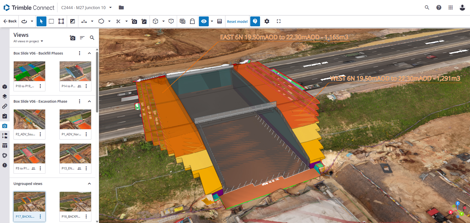
No fuss and full control: how Balfour Beatty automated monitoring of carriageway movement during extensive utility works on the UK’s busiest motorway junction: M25 J10 Wisley interchange.
As a long term KOREC customer and Trimble user, Balfour Beatty knew that Trimble S7 Total Stations, renowned for both their high precision and reliability in all weather, were perfect for this critical and large-scale project. When used in conjunction with Trimble 4D Control software (T4D) for automated movement detection and monitoring of infrastructure, and Settop M1 boxes for communication and control, the result was a straightforward and highly effective monitoring solution.
Balfour Beatty set up exactly the alert triggers they required, using colour coded bands for the different tolerances. They could also check system status at any time, from anywhere, without the need for a complex IT setup, saving a significant amount of time. Training a colleague took no more than a single page of notes.
“If you want to check the level, just log on to the Settop box and hit the ‘check level’ button – it’s that simple and a real time saver – otherwise I’d have to go on site and physically stop and check each instrument. The same if you want to see where all the points are, just click the map, if you want graphs, click graphs. No need to dig around in settings and menus.”
The priority on this project was clear: deliver accurate, reliable monitoring data without causing disruption to the utilities team. That meant the system had to provide clear, easy-to-understand reporting and Trimble’s T4D software delivered exactly that. Not only could it generate reports in the format required by National Highways, but it also made it easy to visualise key data, such as movement shown on a heat map.
Balfour Beatty’s project outcomes were achieved in an easy, hassle-free way thanks to automated monitoring technology from KOREC.
Get started or scale up monitoring
You don’t need to be a national enterprise to win monitoring contracts. You just need the right workflow, the right partner, and the right kit. Let’s look at your current business goals and map out exactly how you can add monitoring to your capabilities.
Book Your Free Monitoring Capability Consultation
Speak 1-on-1 with a KOREC monitoring specialist. We’ll discuss your existing Trimble kit, your target projects, and how to build a scalable automated workflow that maximises your ROI.

Trusted by leading brands

The S7s, Settop M1’s and T4D were extremely easy to set up, especially because we are already used to Trimble equipment. I was easily able to summarise the operation into a single page document for another member of the team.
Jack RichardsonWorldsensing’s GNSS Tilt Meters have enabled us to deliver essential ground stabilisation data, which we can use for evidence-based decision-making regarding land use planning, development restrictions and potential remediation strategies. The client is very satisfied with both the level of information provided and the value for money.
Mark HodgenSee technology in action
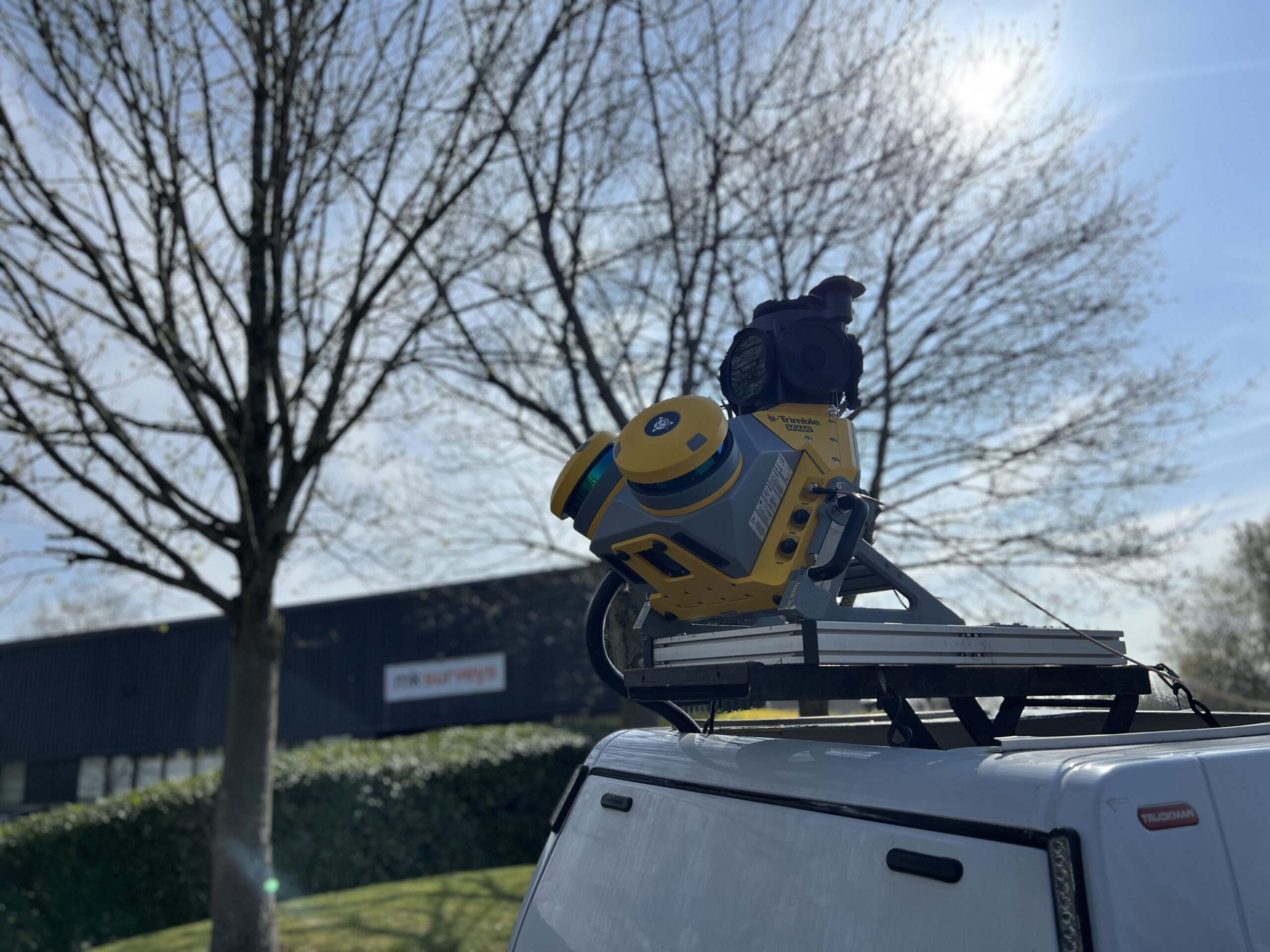
MK Surveys is maximising the value of its Trimble MX60 Premium system in two ways: by treating it as a precision survey tool rather than solely as a mobile mapping solution and by developing new client-focused workflows.
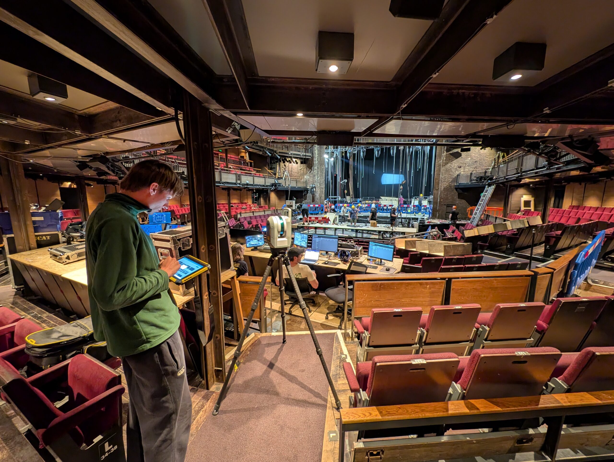
How the Royal Shakespeare Company is using a Trimble X9 Core LT 3D Laser Scanner to move beyond 2D plans and truly understand the 3D spaces they design for.
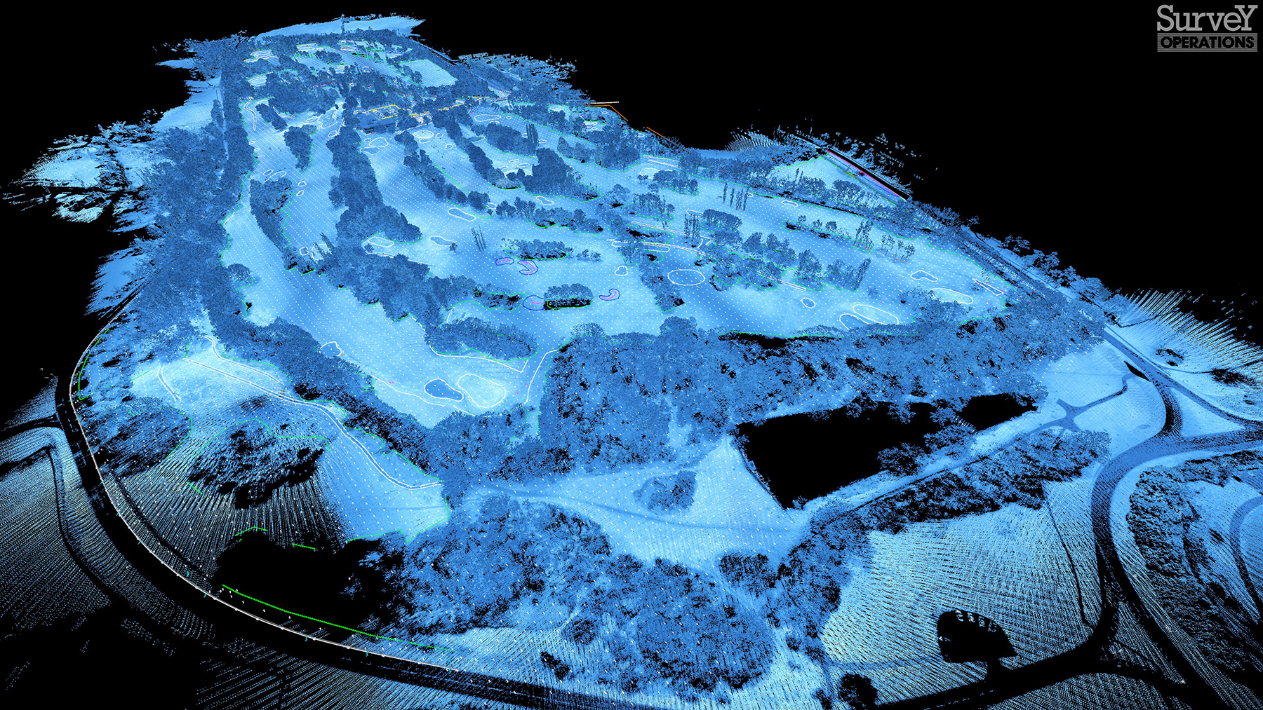
Survey Operations has exploited its Wingtra GEN II drone’s interchangeable LiDAR/camera payloads and straight forward workflows to create impressive operational and data quality advantages, not just on large scale projects, but on the small ones too.
The reliability of the Trimble X9 Core for 3D laser scanning has made it a go-to tool for the Royal Agricultural University, both in preparing the next generation of land […]
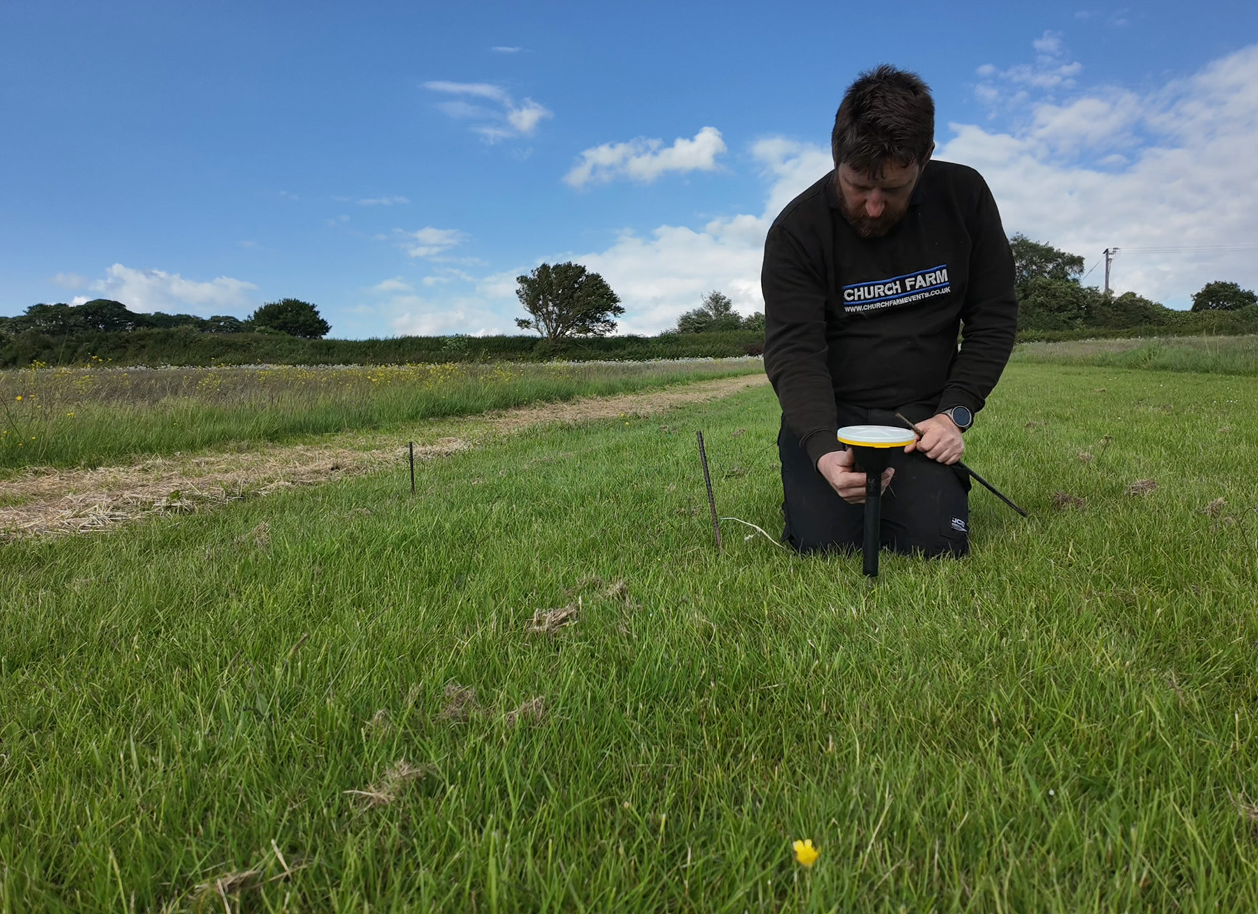
Using Trimble Catalyst to accurately map plots on their natural burial ground, Forget Me Not Fields has found a perfect balance between efficiency and tranquillity amongst the wildflower meadows. Download […]
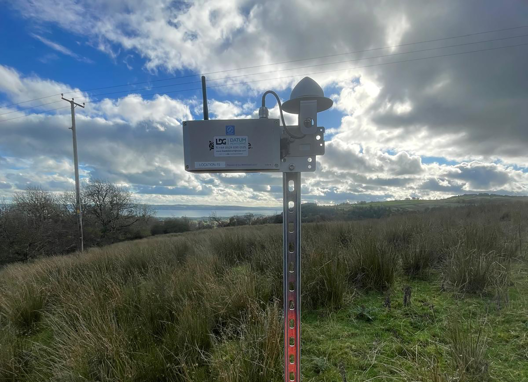
Lloyds Datum Group (now part of SOCOTEC UK and Ireland) has pioneered a landmark project on an abandoned mine site in Northern Ireland. It is the country’s first large-scale ground […]
Leading earthworks and civil engineering contractor MJ Church, has combined its holistic, model-driven approach to complex infrastructure projects with a fully integrated Trimble ecosystem of hardware and software – all hosted within Trimble Connect’s Common Data Environment.
When Neon Surveys introduced the Exyn Nexys SLAM system into their floor-plan surveying workflow, the only difference their clients noticed was how much faster they received the finished deliverable.
How a strong understanding of the Exyn Nexys SLAM technology enabled SYSTRA UK to strike the perfect balance between speed and accuracy during a recent structural assessment survey of a large and complex building in Manchester.
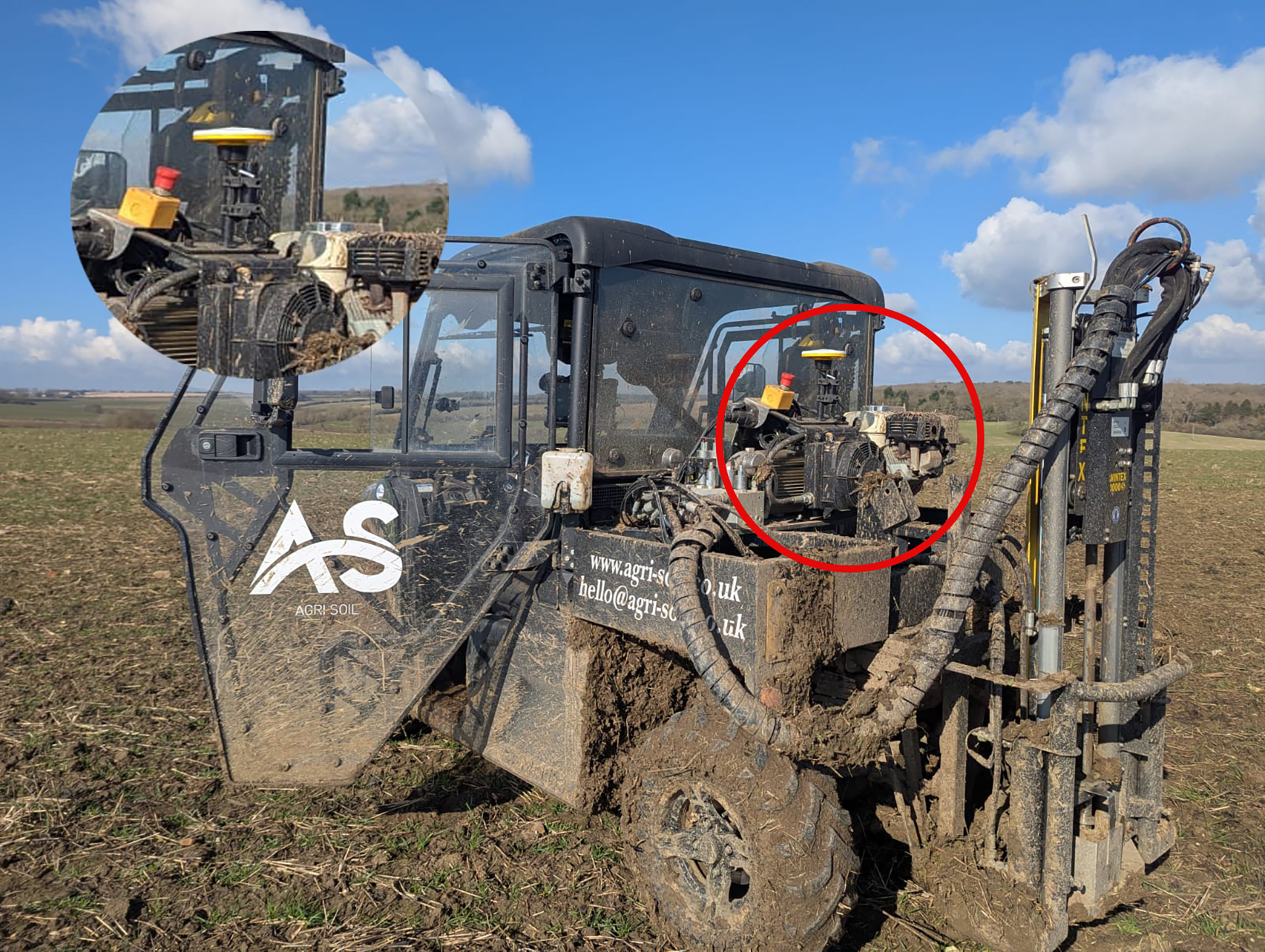
A family farm has diversified into providing an expert soil sampling and analysis business as an independent alternative to using services provided by large agricultural chemical companies.