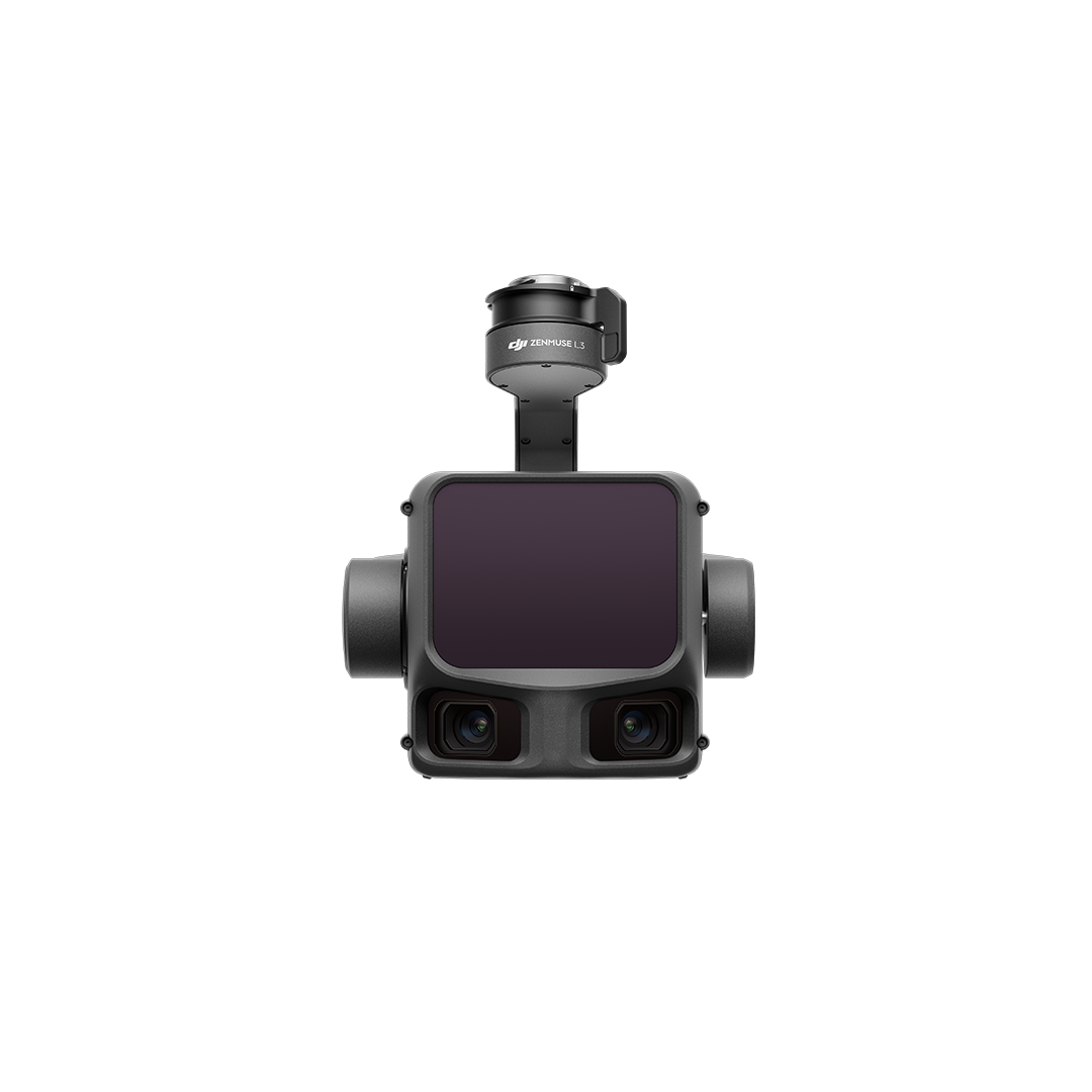
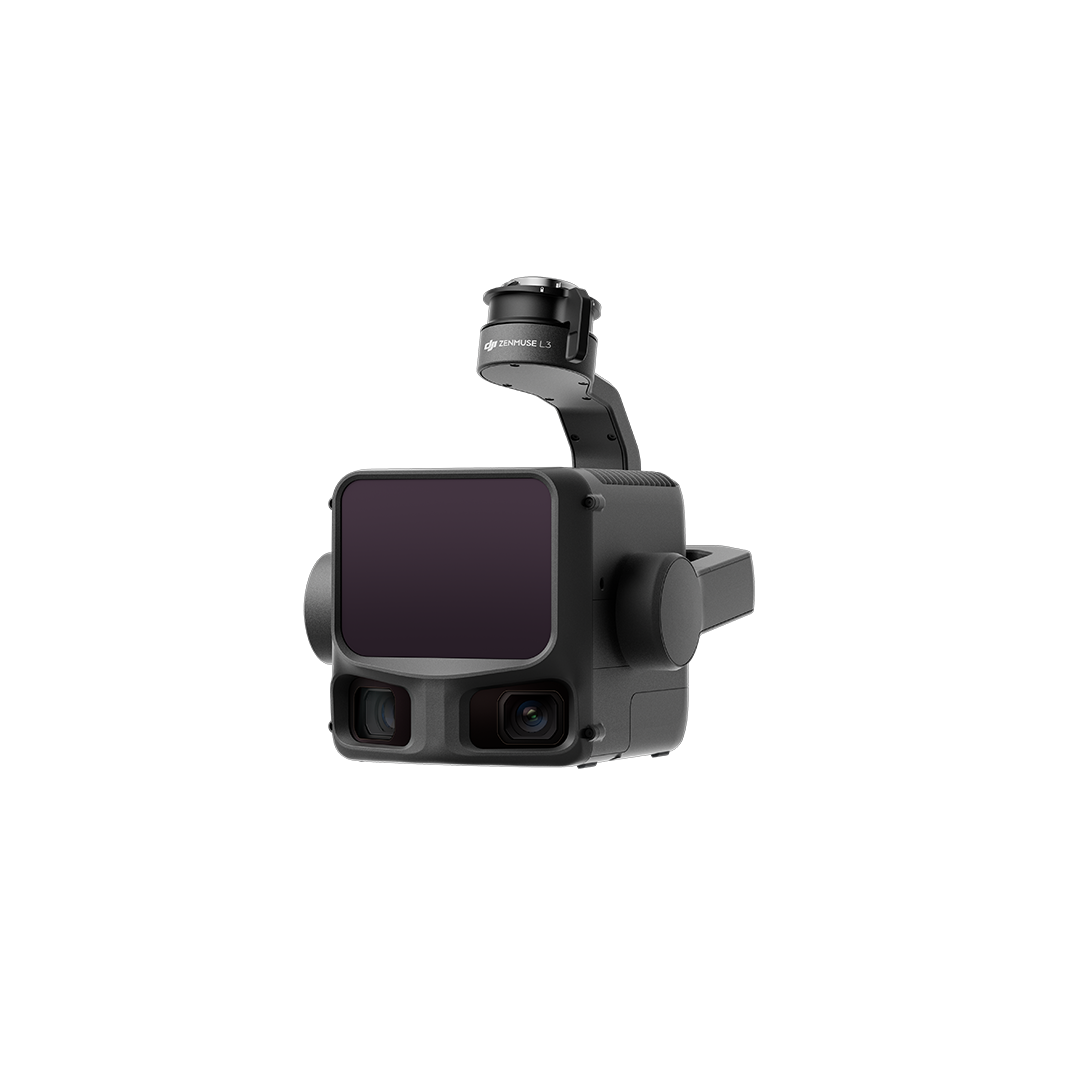
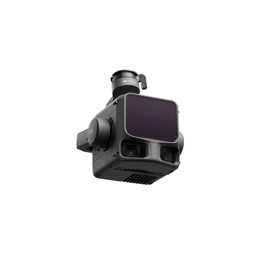
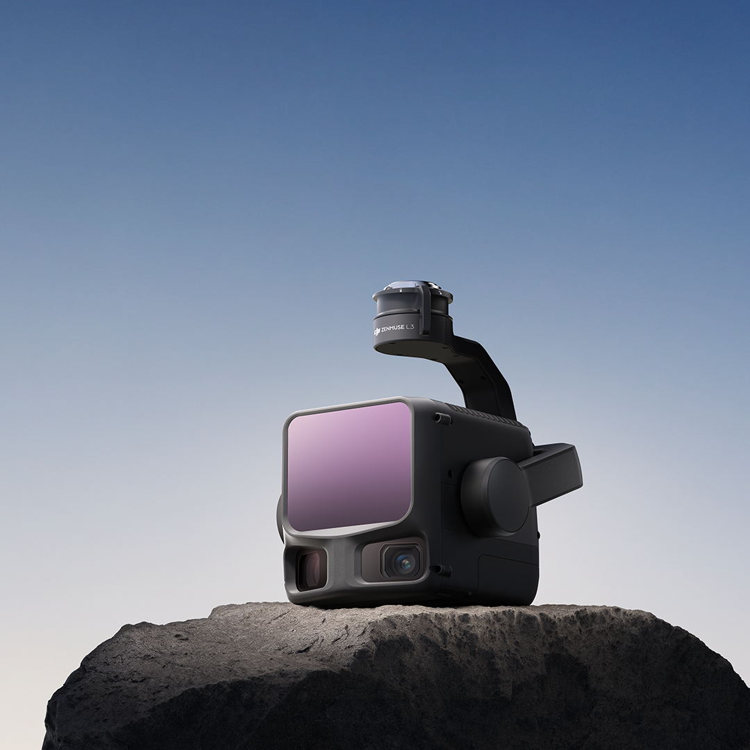
Zenmuse L3
£10,959.00
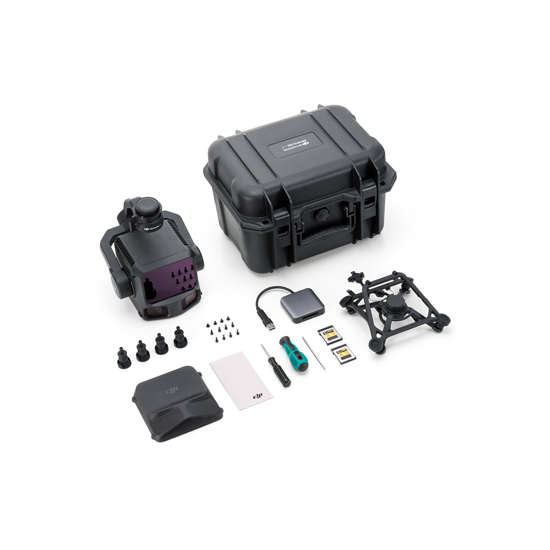
Add to basketZenmuse L3 is DJI’s next-generation1535nm long-range, high-accuracy aerial LiDAR system designed to elevate aerial geospatial operations requiring higher accuracy and wider visibility.
With the Zenmuse L3, DJI aims to expand the adoption of high-end aerial surveying LiDAR technology to more enterprise applications including topographic survey, emergency response, historical conservation, energy infrastructure inspections, and forestry.
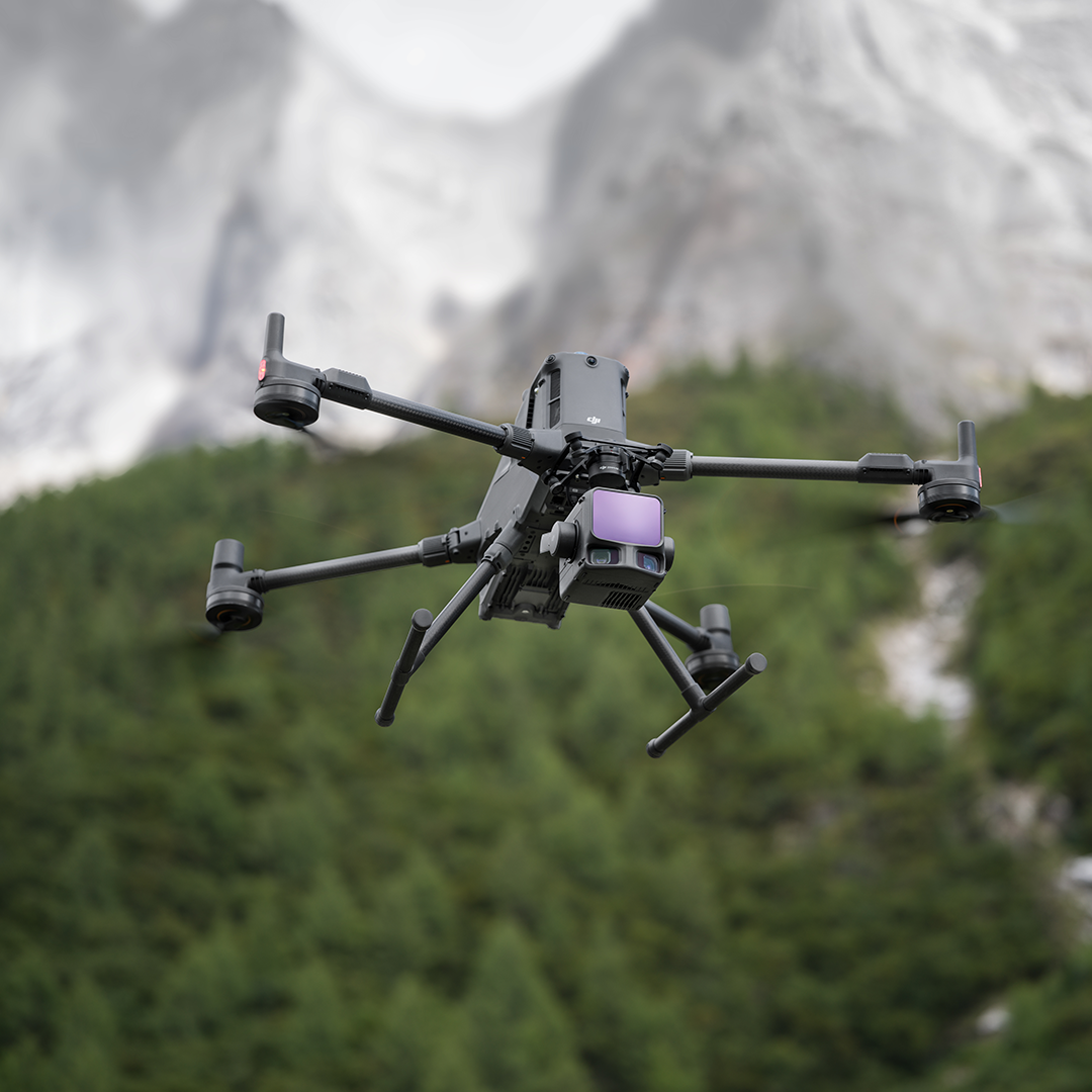
This high-accuracy aerial LiDAR system features a 1535nm long-range LiDAR capable of reaching 950 m even on objects with just 10% reflectivity, while maintaining exceptional penetration capabilities. With its dual 100MP RGB cameras and high-precision POS system, geospatial data acquisition can be accelerated by covering up to 100 km2 a day.

High-accuracy 1535 nm LiDAR and proprietary high-accuracy system
Achieve a detection range of 950 m at a pulse rate of 100 kHz, tested under 100 klx ambient light and on objects with 10% reflectivity. The self-developed LiDAR delivers ranging repeatability of 5 mm at 150 m (1σ) and supports microsecond-level time synchronization. Expect vertical accuracies of 3 cm at 120 m, 5 cm at 300 m, and 10 cm at 500 m.
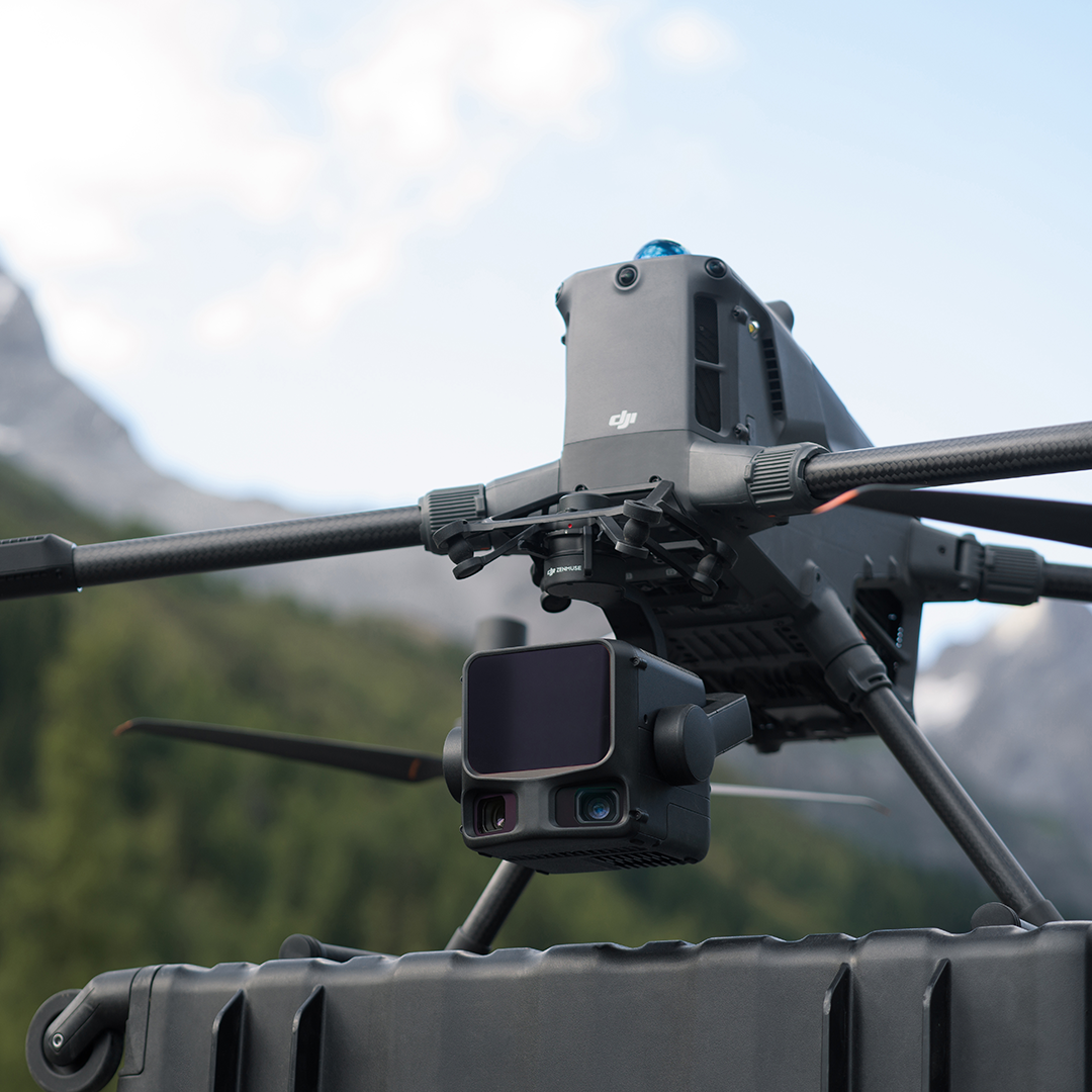
Dual 100MP RGB Mapping Camera System
Equipped with dual 100MP 4/3 CMOS RGB sensors and a mechanical shutter, Zenmuse L3 delivers significantly enhanced accuracy and efficiency. It can achieve a ground sample distance (GSD) of 3 cm, even at a flight altitude of 300 m. Additionally, the dual RGB mapping cameras offer a horizontal field of view (FOV) of up to 107°, enabling each capture to cover a broader area.
Superior penetration capability
Highly accurate spatial reconstructions can be generated with its maximum laser pulse emission frequency of 2 million points per second and support for up to 16 returns. The penetration capability is especially well-suited for terrain mapping such as dense forests and urban environments, capturing more ground points with greater completeness.
Cover up to 100 km² per day
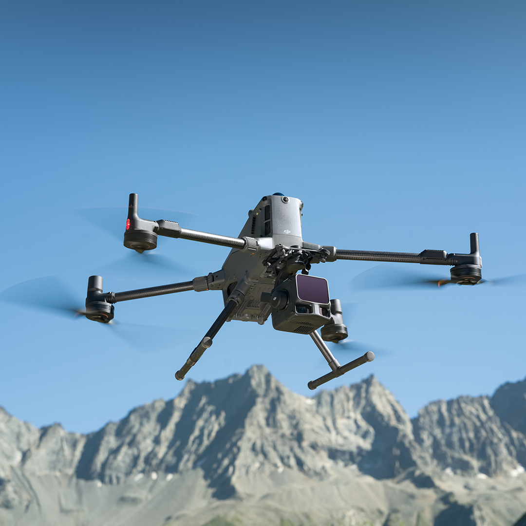
When mounted on the DJI Matrice 400, at a typical flight altitude of 300 m, a single flight can cover up to 10 km2, enabling up to 100 km² of daily coverage. Moreover, it can capture LiDAR and RGB data simultaneously to generate a range of mapping deliverables from a single flight.
DJI’s next-generation high-accuracy aerial LiDAR system features a long-range LiDAR capable of reaching up to 950 m [1] even on objects with just 10% reflectivity. Dual 100MP RGB mapping cameras and a high-precision POS system accelerate geospatial data acquisition, enabling daily coverage of up to 100 km²
• Point cloud system accuracy at 120m flight altitude: Vertical accuracy – 3cm (RMSE), Horizontal accuracy – 4 cm (RMSE)
• Point cloud thickness: 1.2cm@1 o (120m nadir flight altitude), 2cm@1 o (300m nadir flight attitude)
• Combined horizontal FOV (Dual RGB mapping cameras) 107°
• Ground sampling distance: Average value- 3cm (300m nadir flight attitude)
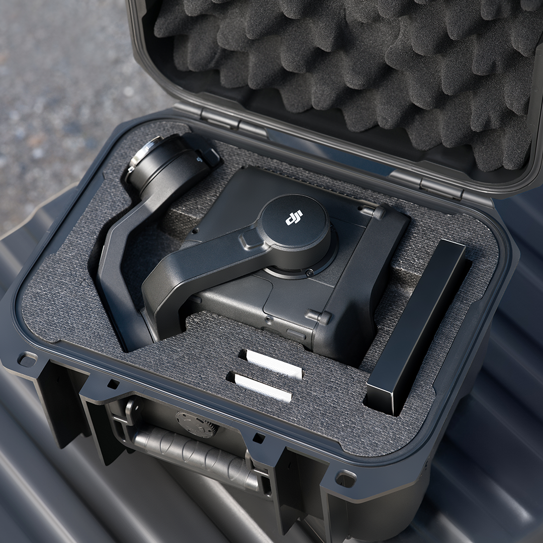
• Weight: 1.60kg (without single gimbal connector)
• Dimensions: 192x162x202 mm
• Power: 64 W (typical), 100 W (max)
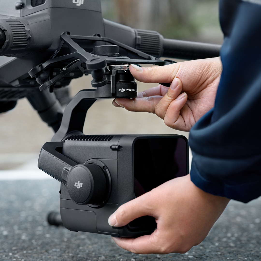
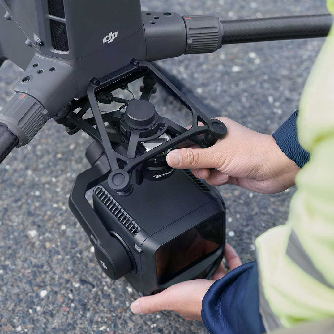
• Supported aircraft: DJI Matrice 400 (requires the Zenmuse single gimbal connector
• Ingress protection rating: IP54
• Operating temperature: -20° to 50°C (-4° to 122°F)
Storage temperature: -40° to 70°C (-40° to 158°F)
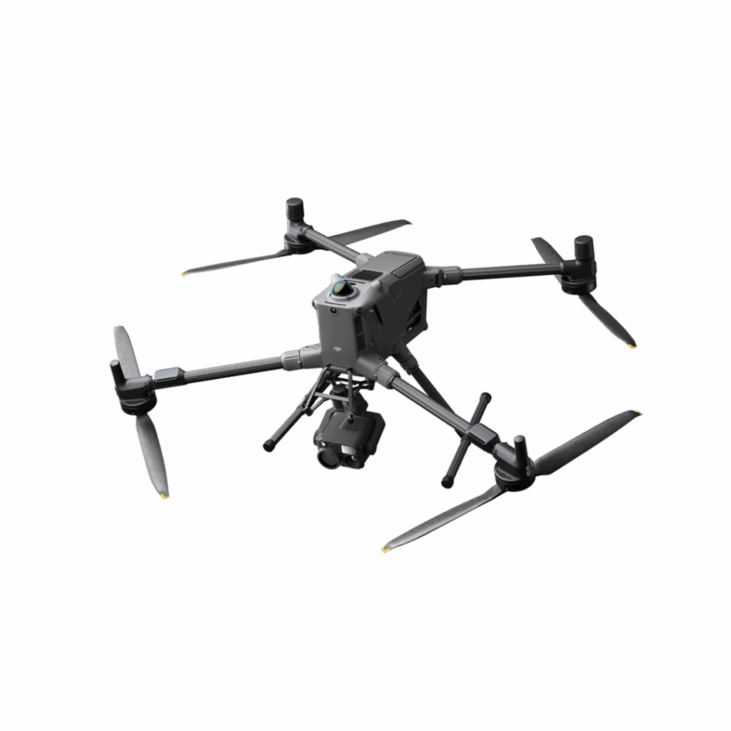
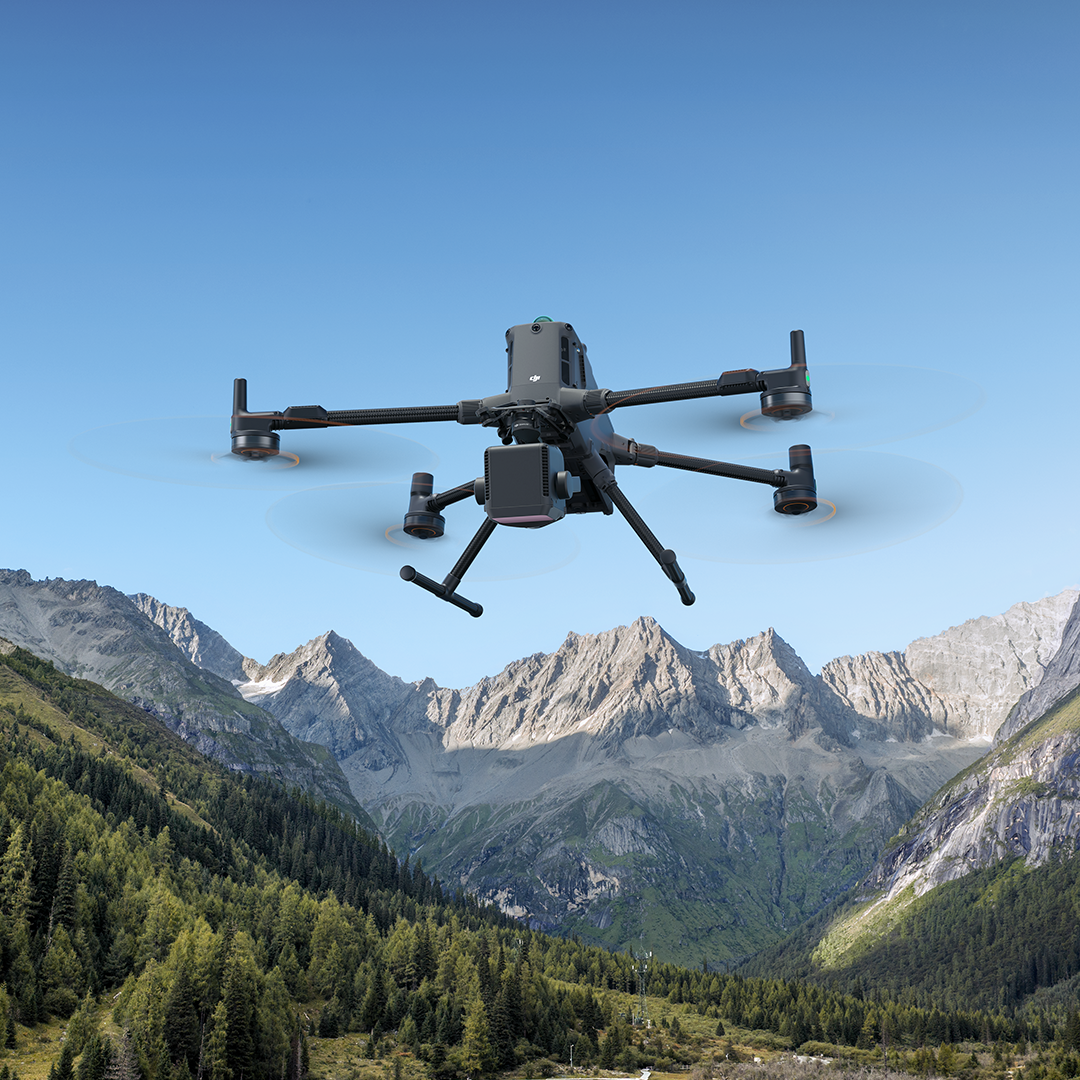
DJI Matrice 400
Engineered for excellence, designed for versatility