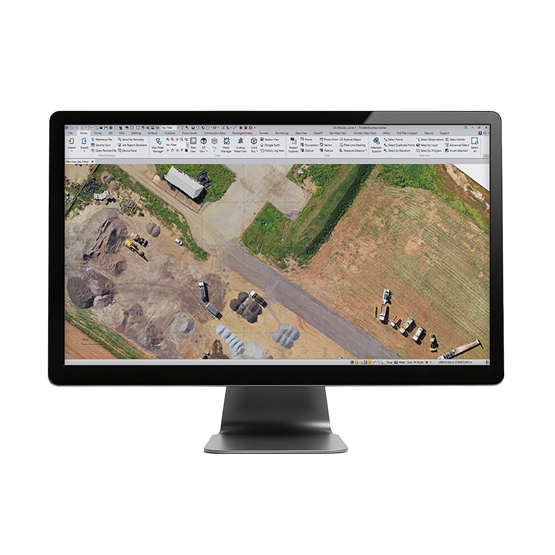
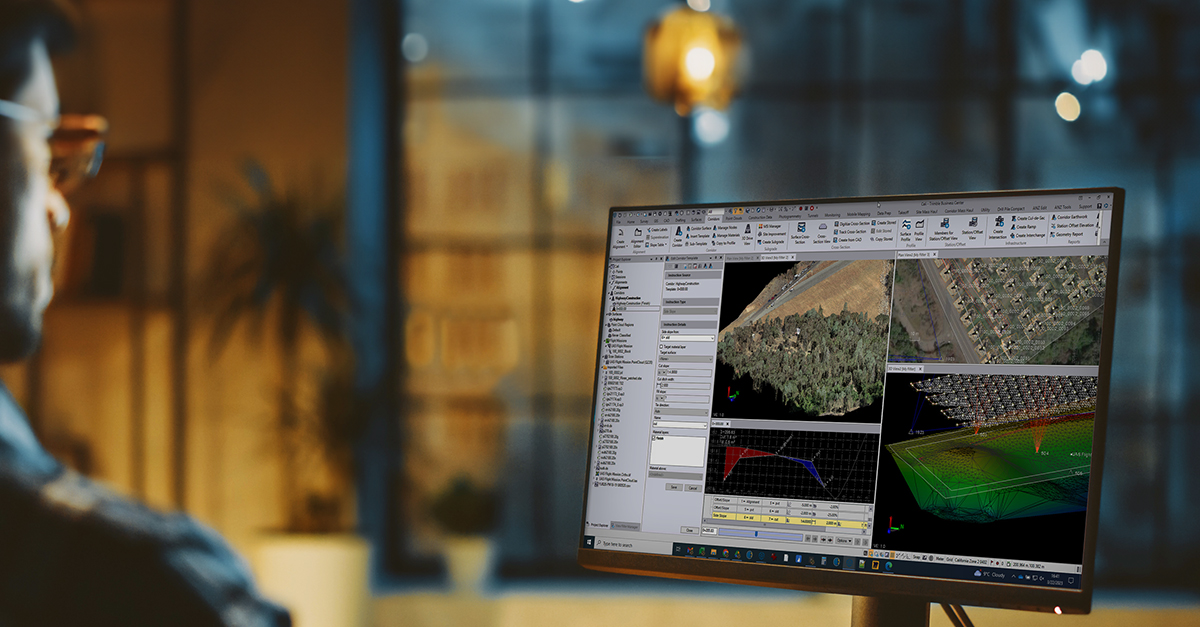
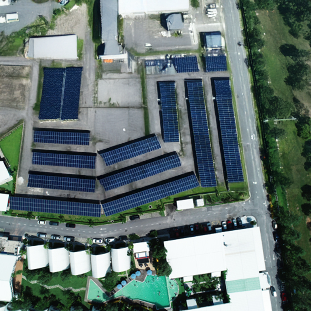
The Trimble Business Center (TBC) aerial photogrammetry office software seamlessly integrates aerial photogrammetry adjustments and deliverables with existing survey workflows and data processing features.

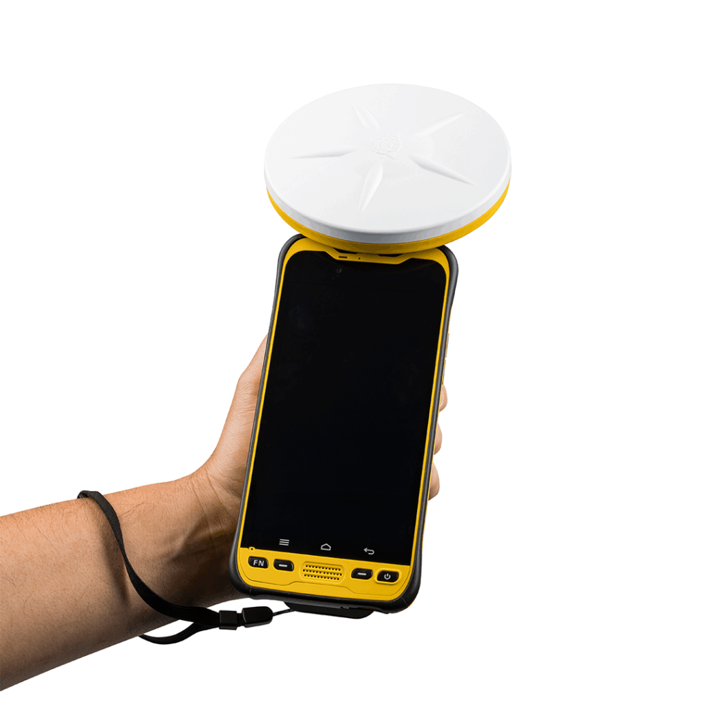
A workflow for any drone
Leverage your production with a comprehensive camera library of all the industry-leading brands or you can flexibly add your new UAV to the library.
Three-step processing
Import, adjust, and create with straightforward steps that balance intuitive options with the quality of the underlying photogrammetric adjustment.
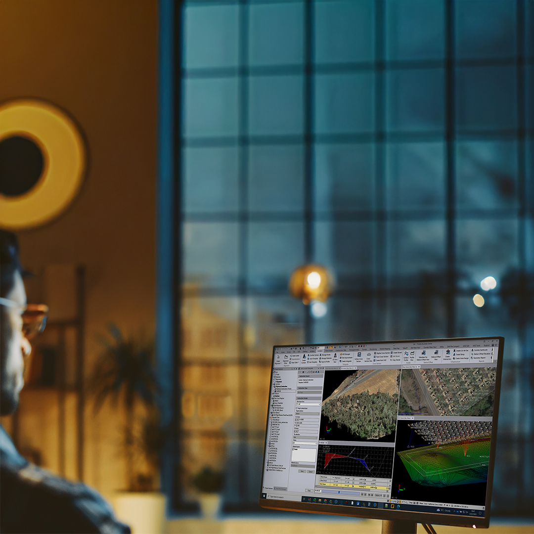
Every step optimised
Continuously add new drones for baseline processing, reducing manual ground control point measurement with fully automatic target detection.
High-accuracy results
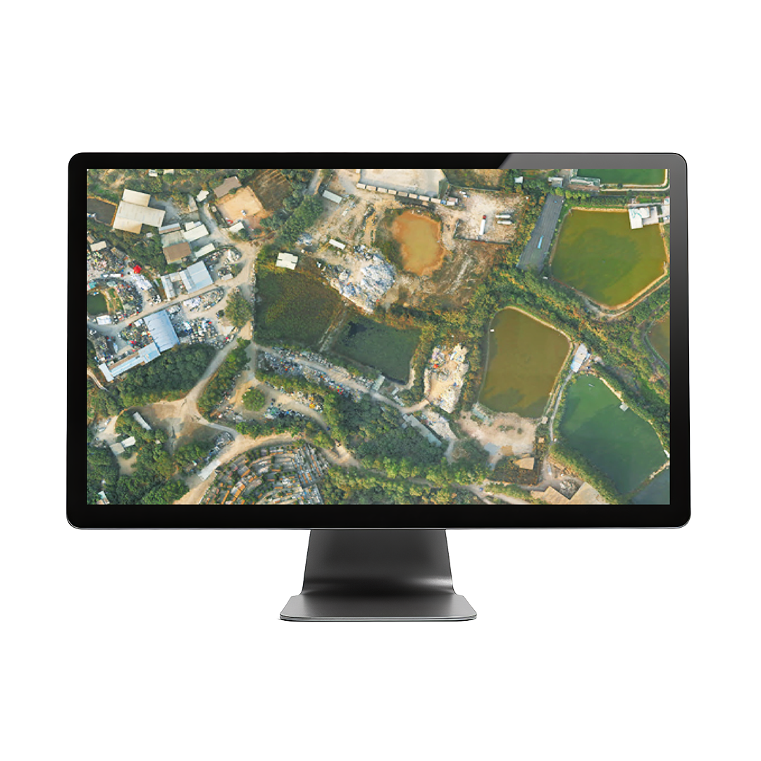
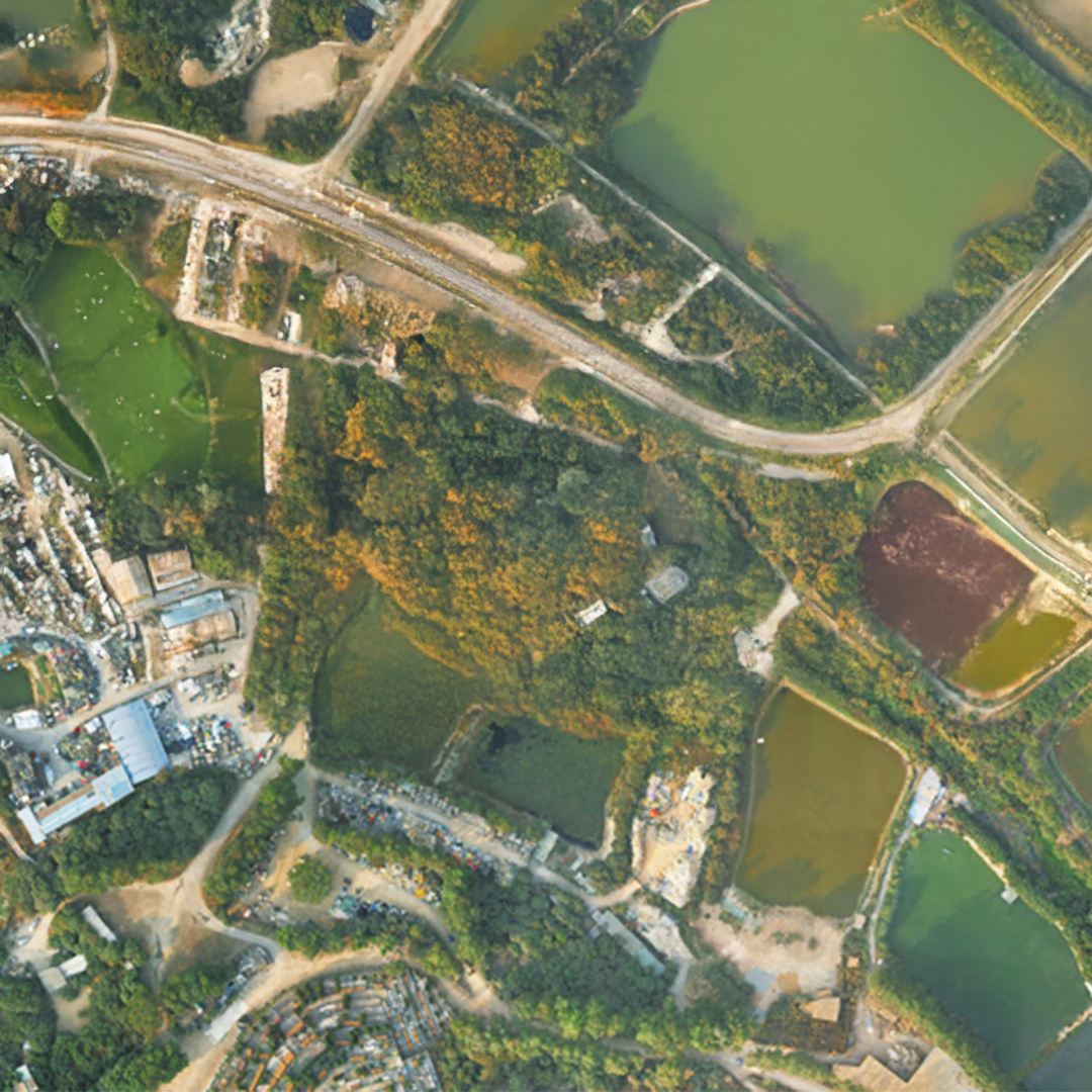
Create denser, survey-grade point clouds and orthophotos with sharper edges, higher contrast and better color balance than other photogrammetric software.
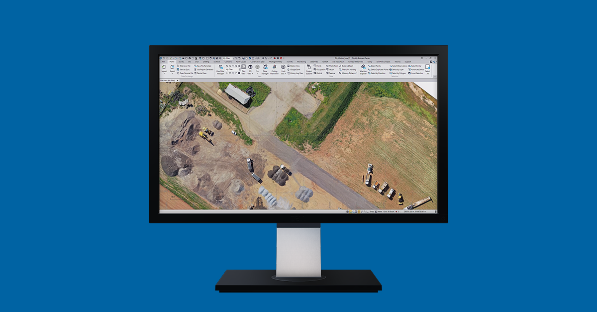
TBC Aerial Photogrammetry software streamlines the adjustment process and deliverable creation to maximise your UAV investment with tools that are applicable to many industries. An additional module is required for LiDAR processing.
• Existing condition maps: Create accurate surface models
- As-built topography: Document interim & final stages
- Precise volume & quantities: Report earthwork computations
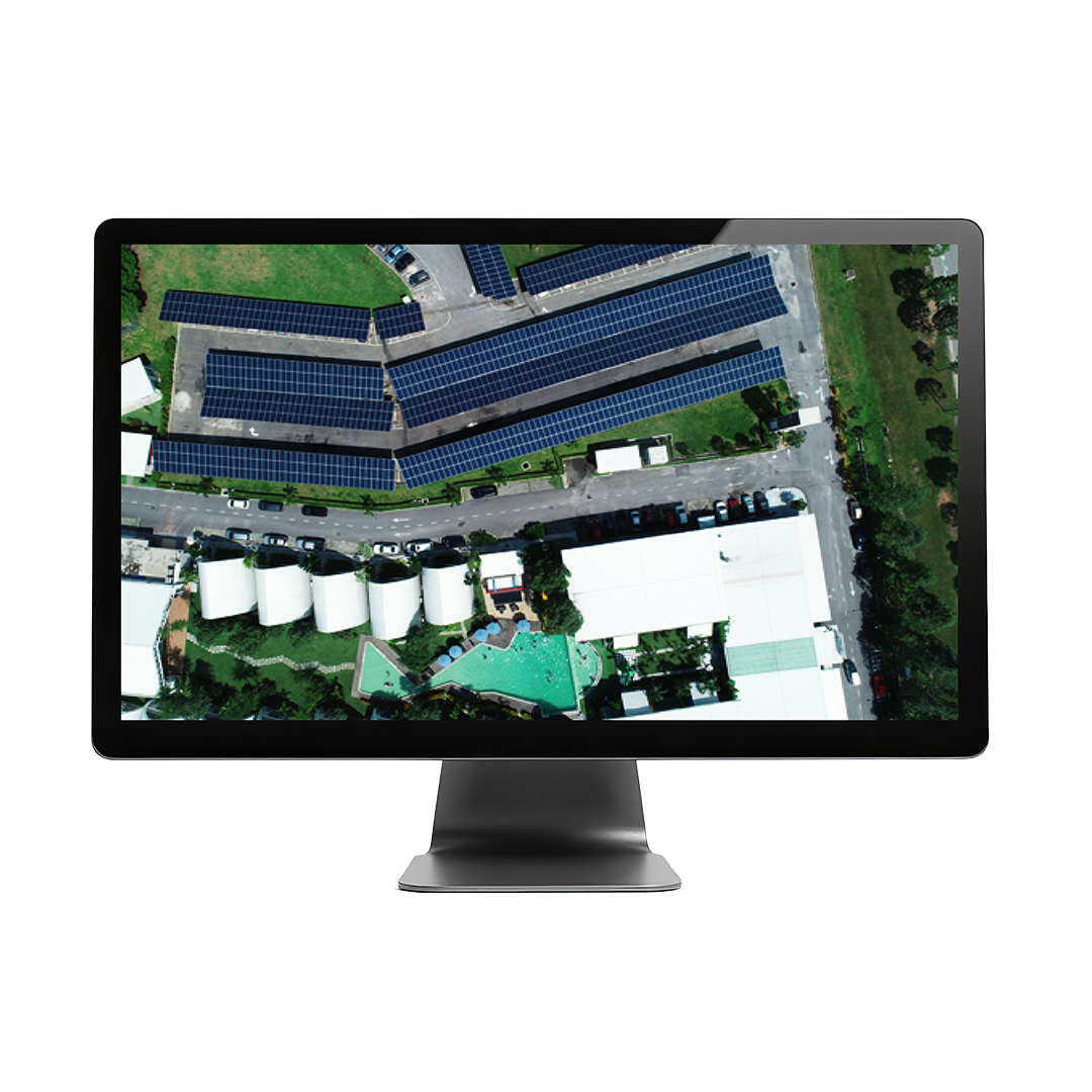
- Robust inspections: Compute & compare to model objects
- Detect site changes: Monitor progress visually
- Clearances & distances: Measure to make timely decisions
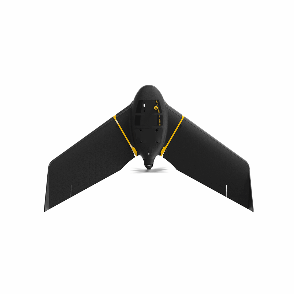
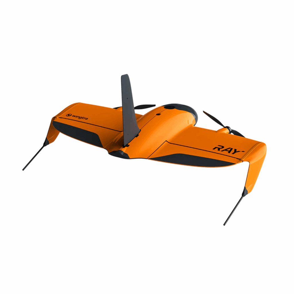
eBee X
Lightweight mapping drone for large coverage and sharp data
£POA
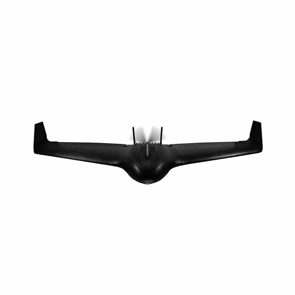
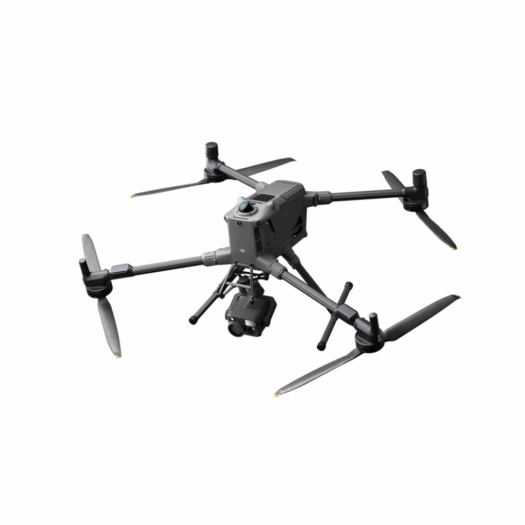
DJI Matrice 400
Engineered for excellence, designed for versatility
£8,875.00
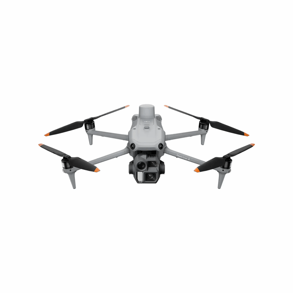
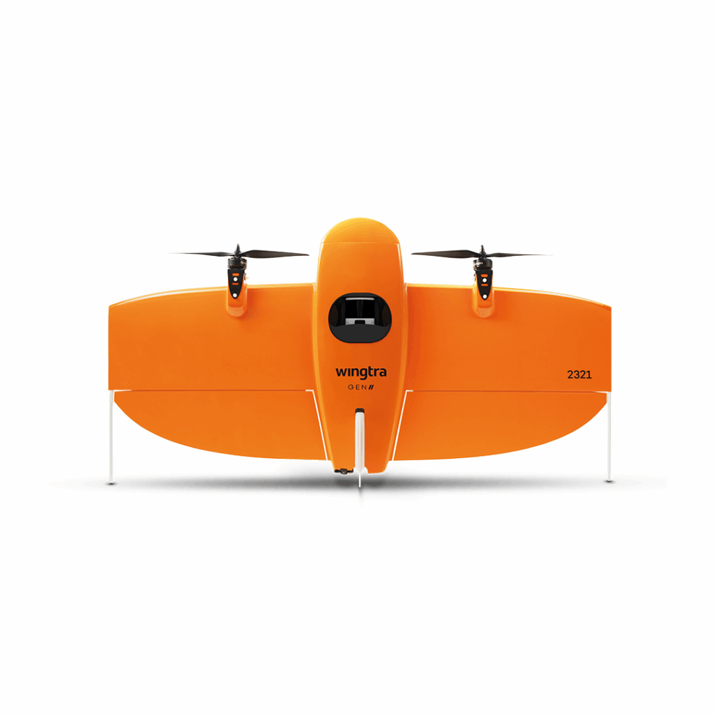
DJI Matrice 4 Series
Bringing intelligence to aerial operations