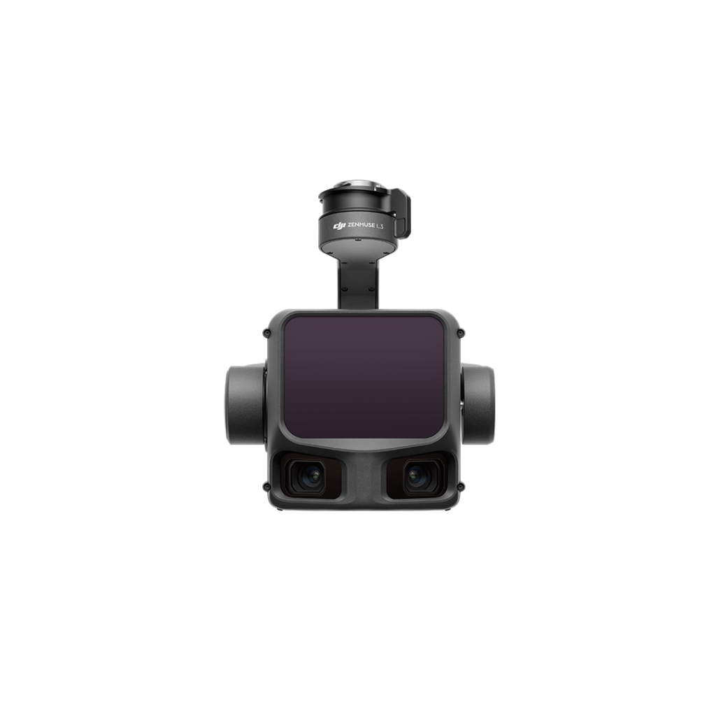
Zenmuse L3 is DJI’s next-generation1535nm long-range, high-accuracy aerial LiDAR system designed to elevate aerial geospatial operations requiring higher accuracy and wider visibility.
Field-to-finish survey CAD software.
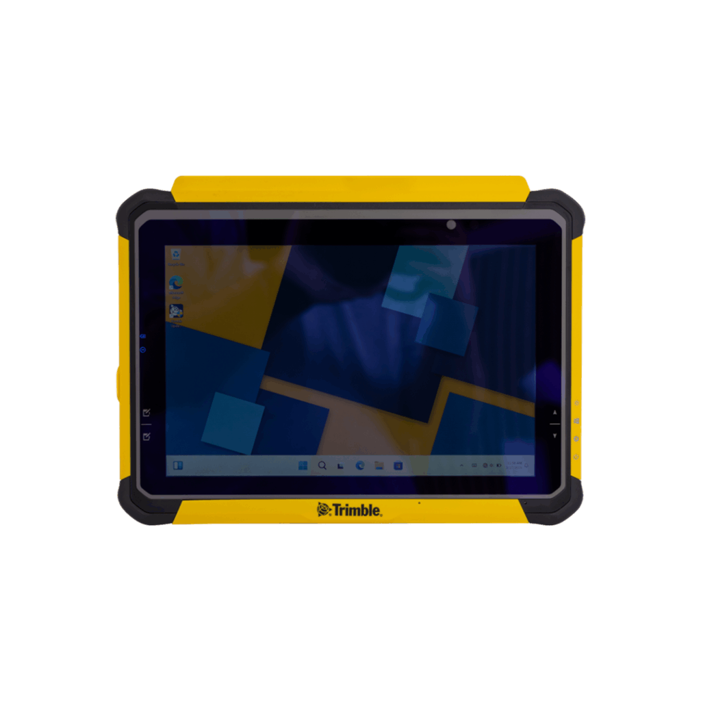
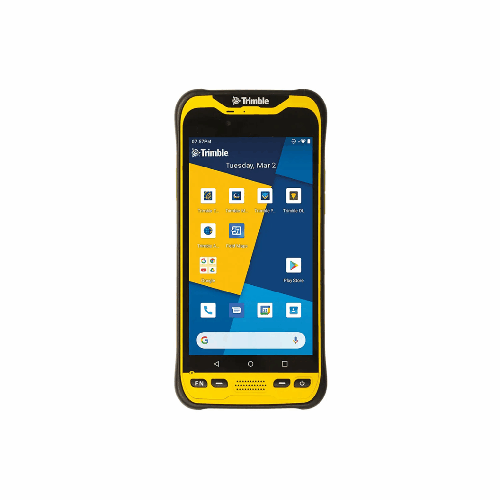
Connect to a better way to work
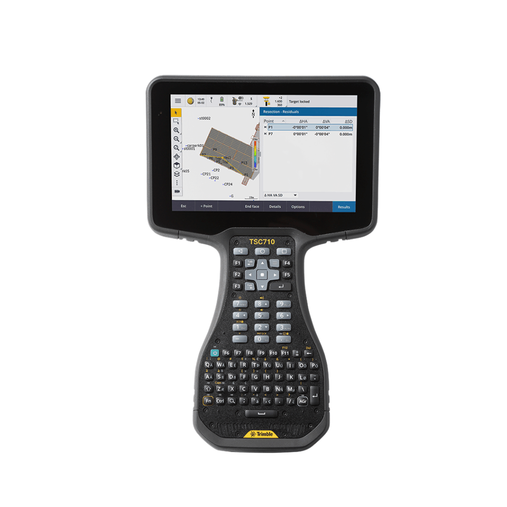
Connect to a better way to work with the all-new Trimble TSC710
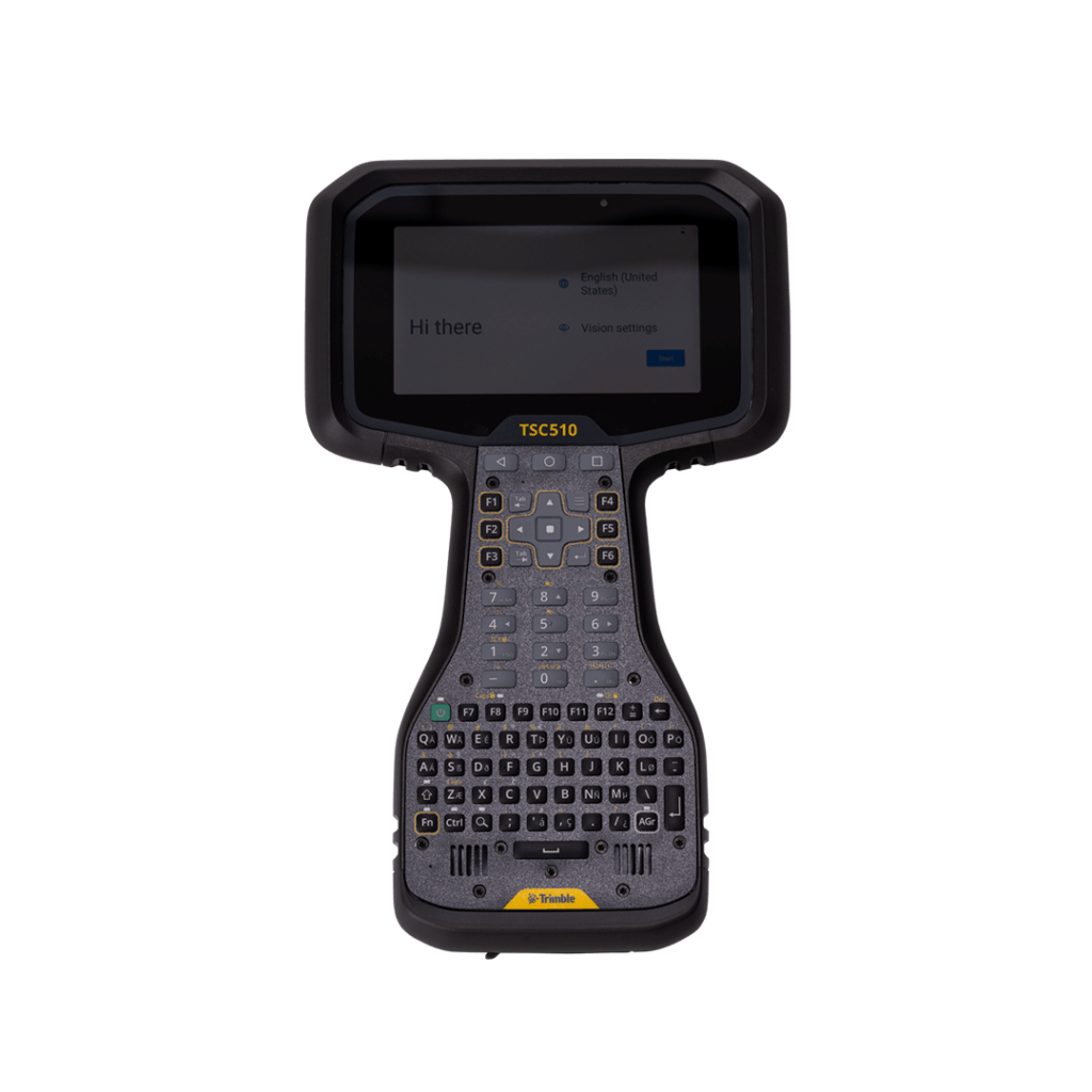
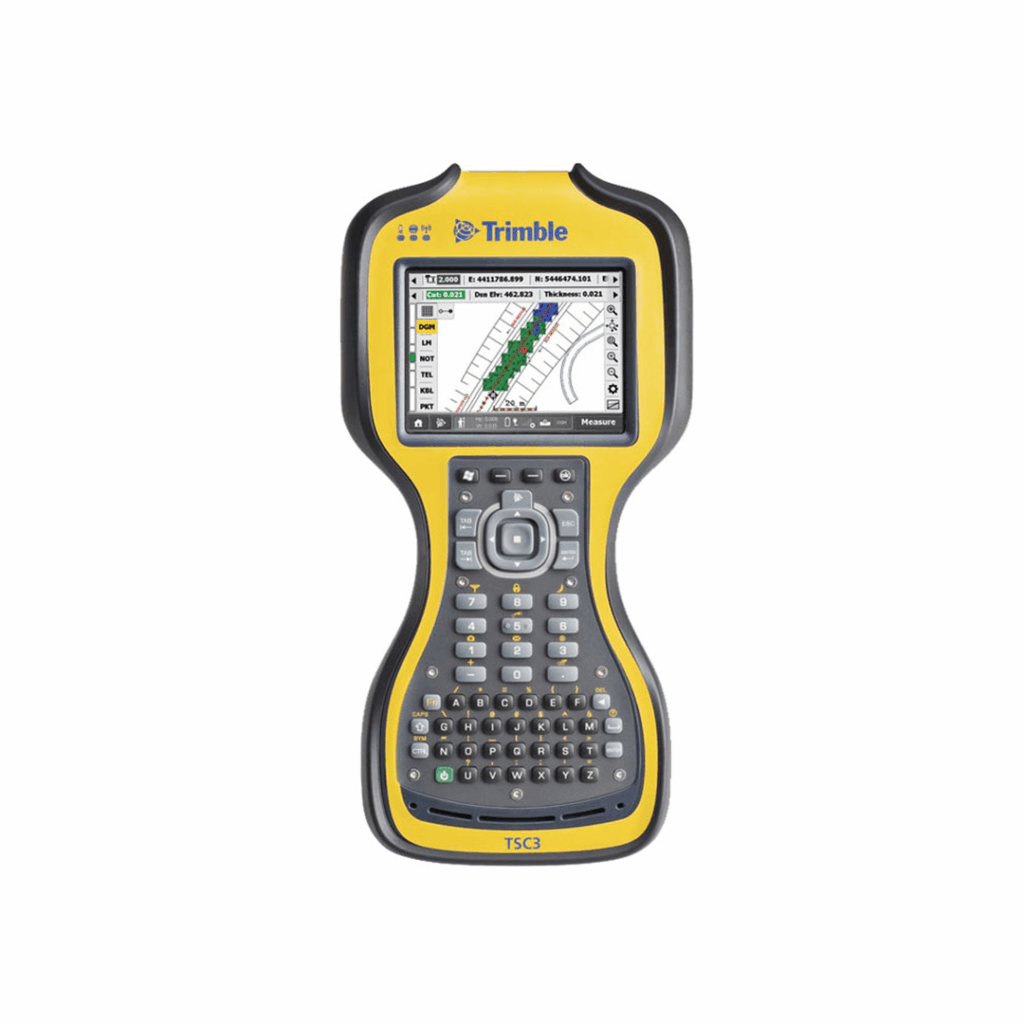
Connect to a better way to work with this robust, top-tier controller