Mobile Mapping Systems
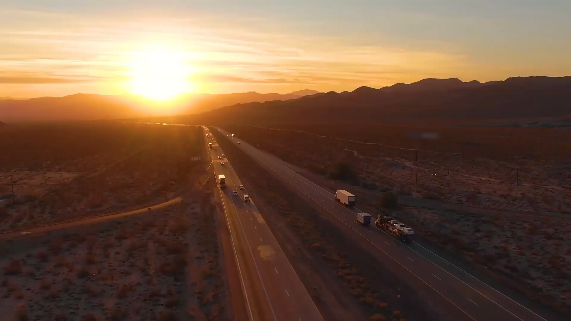
A vehicle-mounted mobile mapping system combines LiDAR scanning, imaging and GNSS positioning into a single platform, enabling large-scale mapping projects to be completed rapidly and efficiently from a moving vehicle. KOREC supplies Trimble mobile mapping systems that deliver high-accuracy, georeferenced point cloud and imagery data across highways, rail and urban environments, significantly reducing the time and cost of traditional survey methods.

