If a project requires refurbishment, redevelopment, restoration or extension of an existing property, it is likely that a measured survey will be required. Here we dig deeper into why, what for, and the equipment used for measured building surveys.
A measured building survey is a comprehensive and accurate survey undertaken of an existing building.
They can be conducted on any building, regardless of age, size, condition or listed status, and on both commercial properties and residential. Although the level of data captured will depend on the needs of the project, even at a basic level, a measured survey provides a highly precise and accurate representation of existing buildings as a starting point for a construction project.
Why Are Measured Building Surveys Needed?
They are often needed in order to obtain planning permission. But in addition to this, they provide a reference point for the start of a project, whether this is internal floor plans, the placement of windows, doors and other architectural features, or clear and detailed photos of the structure in question.
Perhaps most importantly, they can help keep time and costs down on a project. With a measured building survey, accurate data on all elements of a structure is provided, which reduces the chance of mistakes being made, avoiding costly delays.
What Equipment Is Used in Measured Building Surveys?
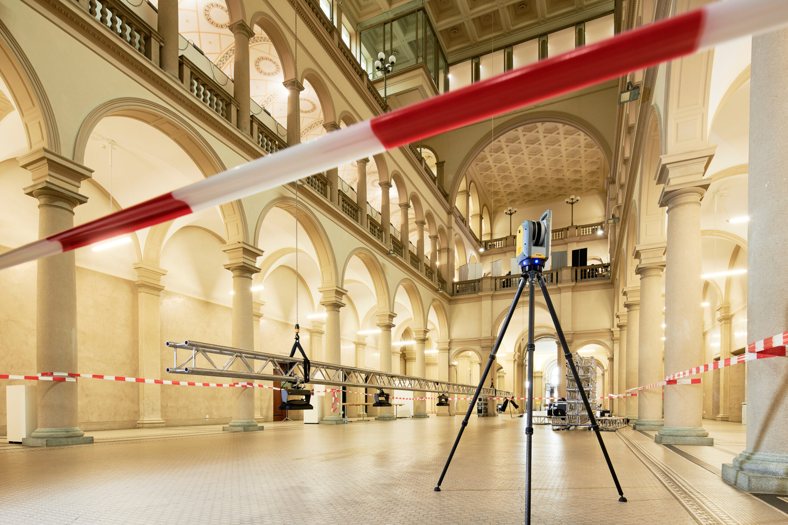
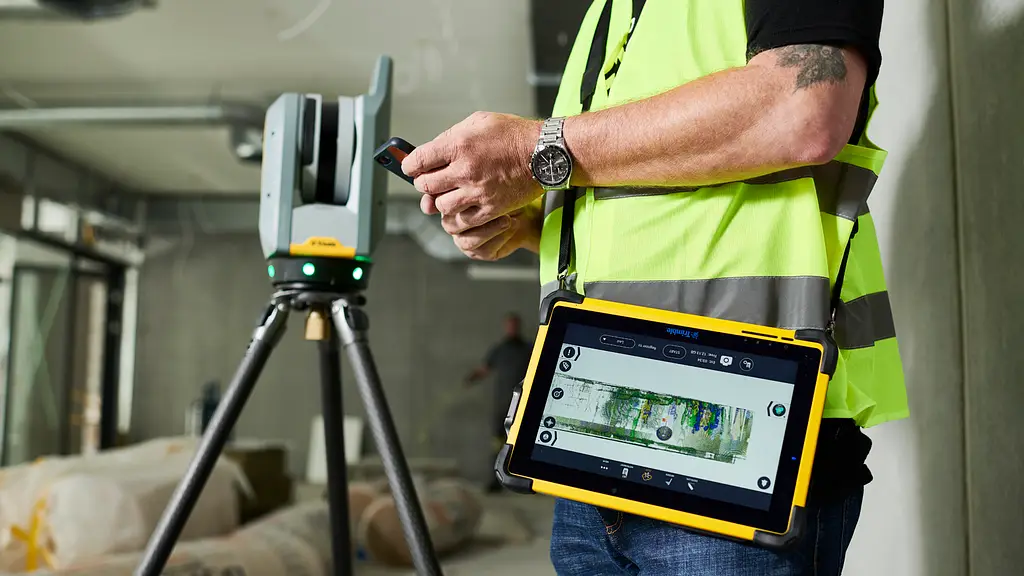
Measured building surveys use a range of specialist equipment to capture all the information needed, however the primary piece of equipment is a laser scanner. A laser scanner allows a surveyor to capture large amounts of geospatial data, even in dangerous or inaccessible areas.
Many surveyors will also use a total station – their reliability, sturdiness and high-accuracy measurement of distances and angles makes them ideal for building surveys.
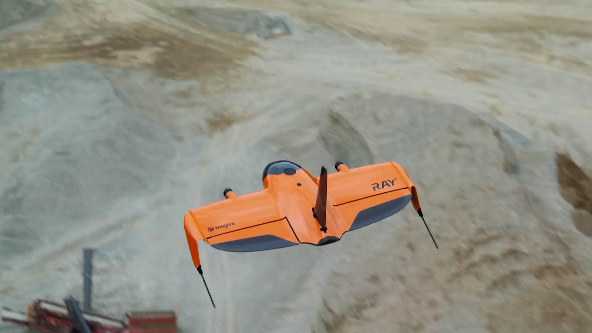
Drones are also starting to be used more widely, as they are excellent for surveying larger areas and offer greater access to often inaccessible areas, such as roofs.
As might be expected, measured surveys generate a lot of data. And in order to collect, share, analyse and visualise all this data, you need software. Thankfully, with programs such as Trimble RealWorks and Trimble CloudEngine, turning the huge amounts of data that measured surveys generate into easily-understandable plans, maps and models is easy.
Why Choose KOREC?
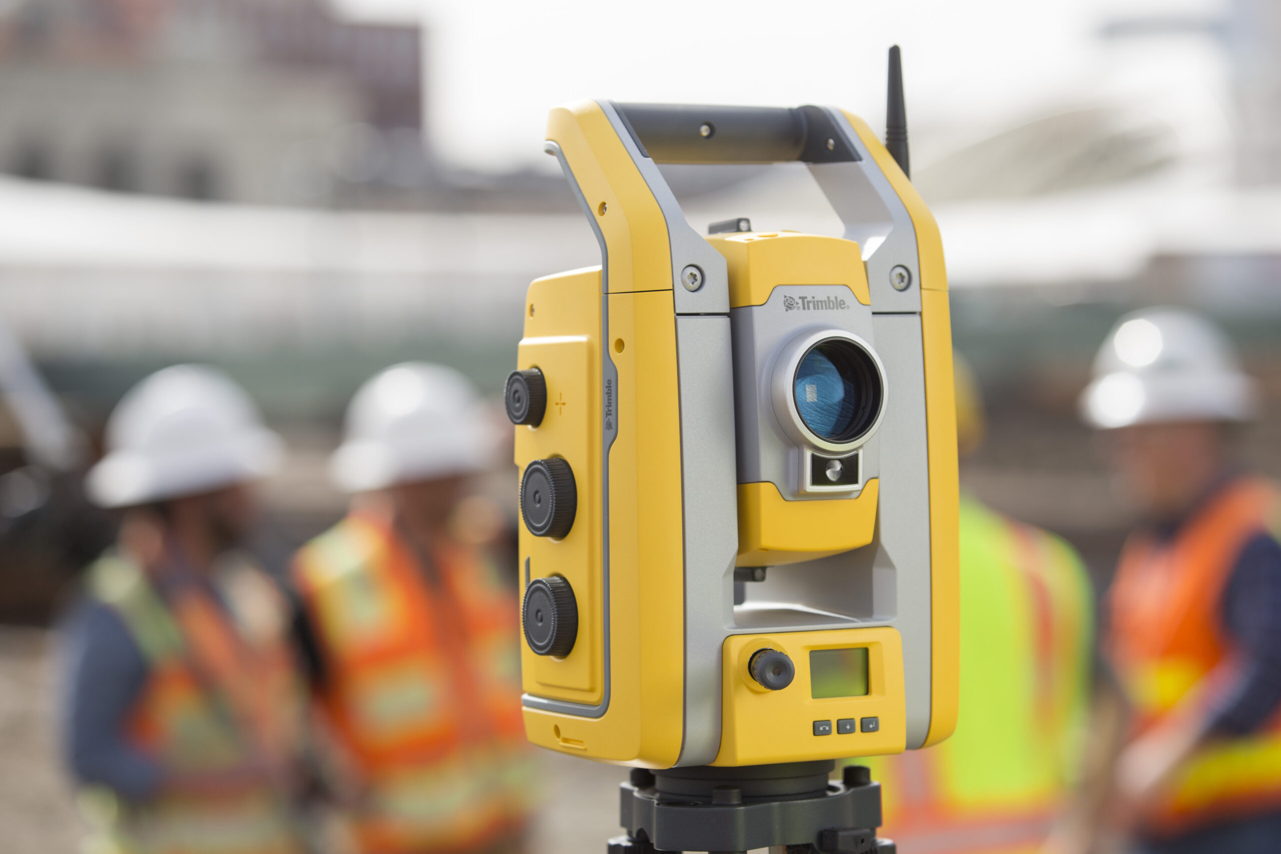
As mentioned above, laser scanners are an integral part of measured building surveying equipment. They are also a core part of our range. As a Trimble partner of over 20 years, we are proud to offer their market-leading laser scanning technology to our customers.
From the high speed, compact and lightweight Trimble X7 scanner to the SX12 Scanning Total Station, which integrates surveying, imaging and 3D scanning capabilities, these instruments are designed to maximise efficiency and ensure seamless workflows.
But it’s not just about the breadth of our range. Where we really go above and beyond is in the technical support we provide to our customers, helping you keep downtime to a minimum and get the best out of your investment. Whether it’s our Knowledge Base for quick fixes, or ourtraining courses and care packages for more tailored and in-depth support, our support team draws on over 50 years of industry experience and unrivalled knowledge of surveyors’ workflows and requirements in the field.
Drone surveying (also called drone mapping, UAV surveying or aerial surveying), is the process of using unmanned aerial vehicles, or drones, to capture aerial data. These vehicles use downward facing sensors,...