What Equipment Is Used in Forensic Scene Documentation?
Discover the geospatial equipment used at crime and collision scenes, from 3D laser scanners and total stations through to GNSS, and how each tool contributes to accurate, court-ready documentation.
Our scanning specialist with 20+ years in geospatial, Melvin has spent a decade capturing huge volumes of data with laser scanners, and is equally passionate about promoting surveying careers through school talks and college partnerships.
Forensic scene documentation has changed substantially over the past decade. Work that once required hours of manual measurement, often with a road or site closed for the duration, can now be captured completely and accurately in a fraction of the time. This matters for two reasons: it reduces the disruption a closed scene causes, and it produces a far richer, more reliable evidential record than manual methods ever could.
Why Modern Forensic Scene Documentation Needs Specialist Equipment
The Cost of Slow Scene Clearance
A crime or collision scene that remains closed longer than necessary carries a real cost, whether that is a road closure disrupting traffic for hours or a building remaining inaccessible while investigators work. Specialist geospatial equipment exists in large part to reduce this time, capturing a complete record of the scene quickly enough that it can be released far sooner than manual measurement would allow.
The Standard of Evidence Courts Expect
Alongside speed, the standard of evidence expected in court has risen. A geospatial record that is precise, complete, and independently verifiable carries more weight than a hand-drawn sketch with a handful of tape measurements. The equipment covered in this guide is what allows investigators to meet that standard consistently, scene after scene.
3D Laser Scanners
Trimble X9: The Primary Forensic Scanning Platform
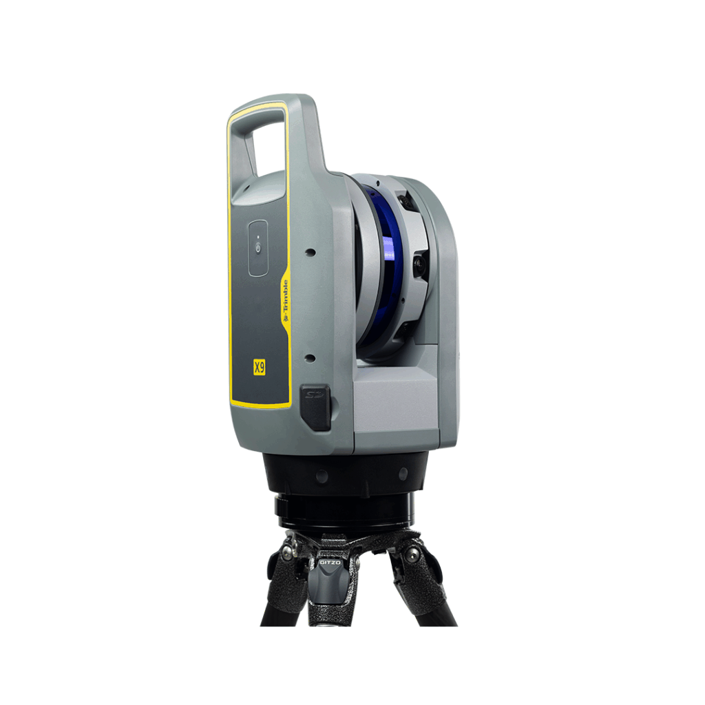
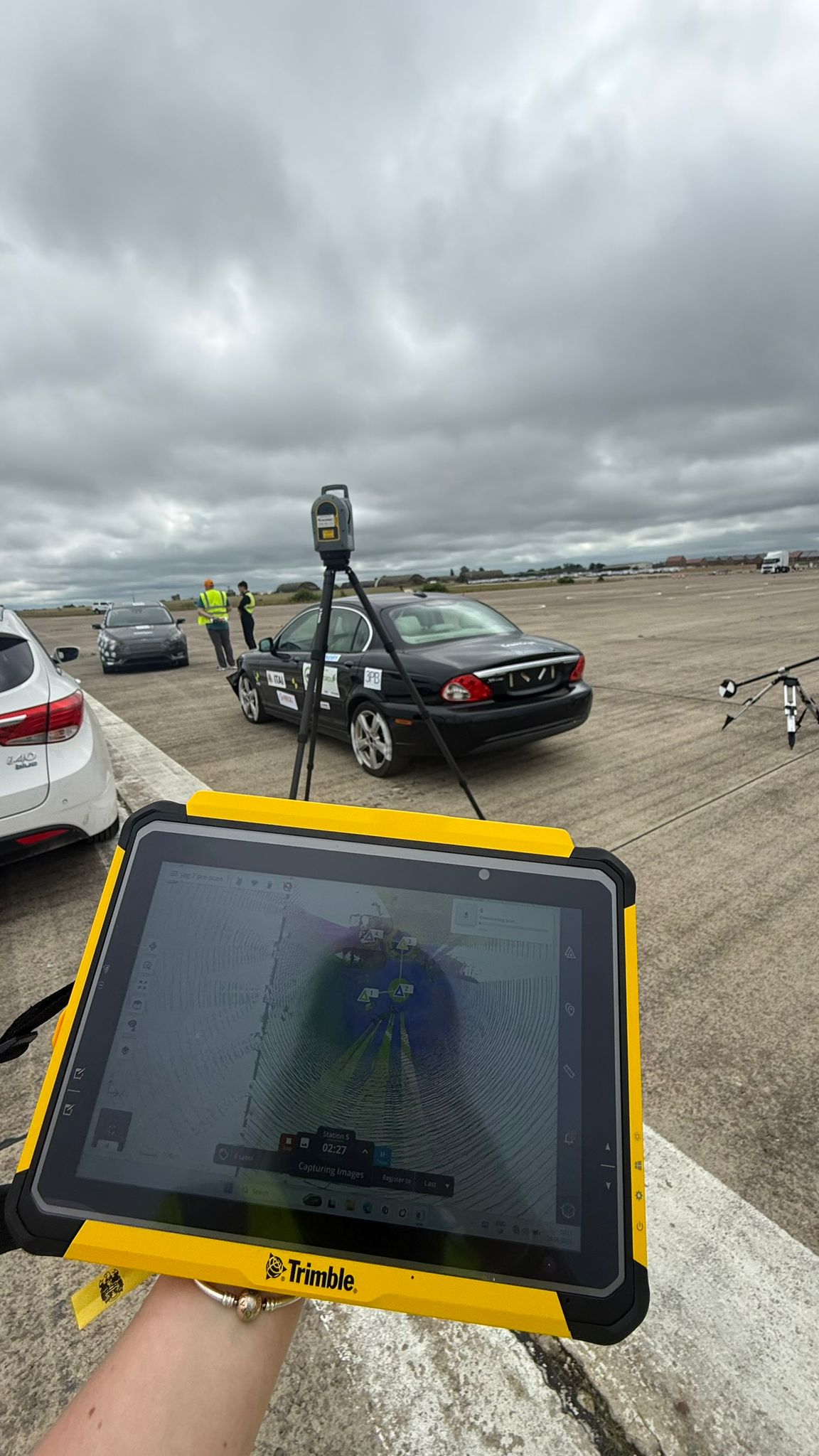
The Trimble X9 is the primary scanning platform for forensic scene documentation, capturing a complete, colourised point cloud of a scene in minutes rather than hours. This speed of capture is what allows a scene to be released sooner while still producing a measurable, permanent record that investigators and experts can return to long after the scene itself has been cleared.
Exyn Nexys: SLAM Scanning for Complex Indoor Scenes
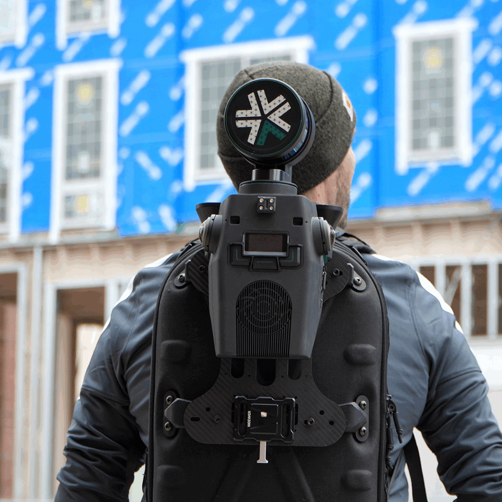
The Exyn Nexys uses SLAM technology to capture scenes where a tripod-mounted scanner is impractical, such as multi-room indoor environments or scenes with restricted access. Rather than scanning from fixed positions, the Exyn Nexys is carried through the scene, building a point cloud continuously as the operator moves, which suits complex indoor layouts that would otherwise require numerous separate scan setups.
Trimble SX12: Scanning Total Station for Combined Workflows
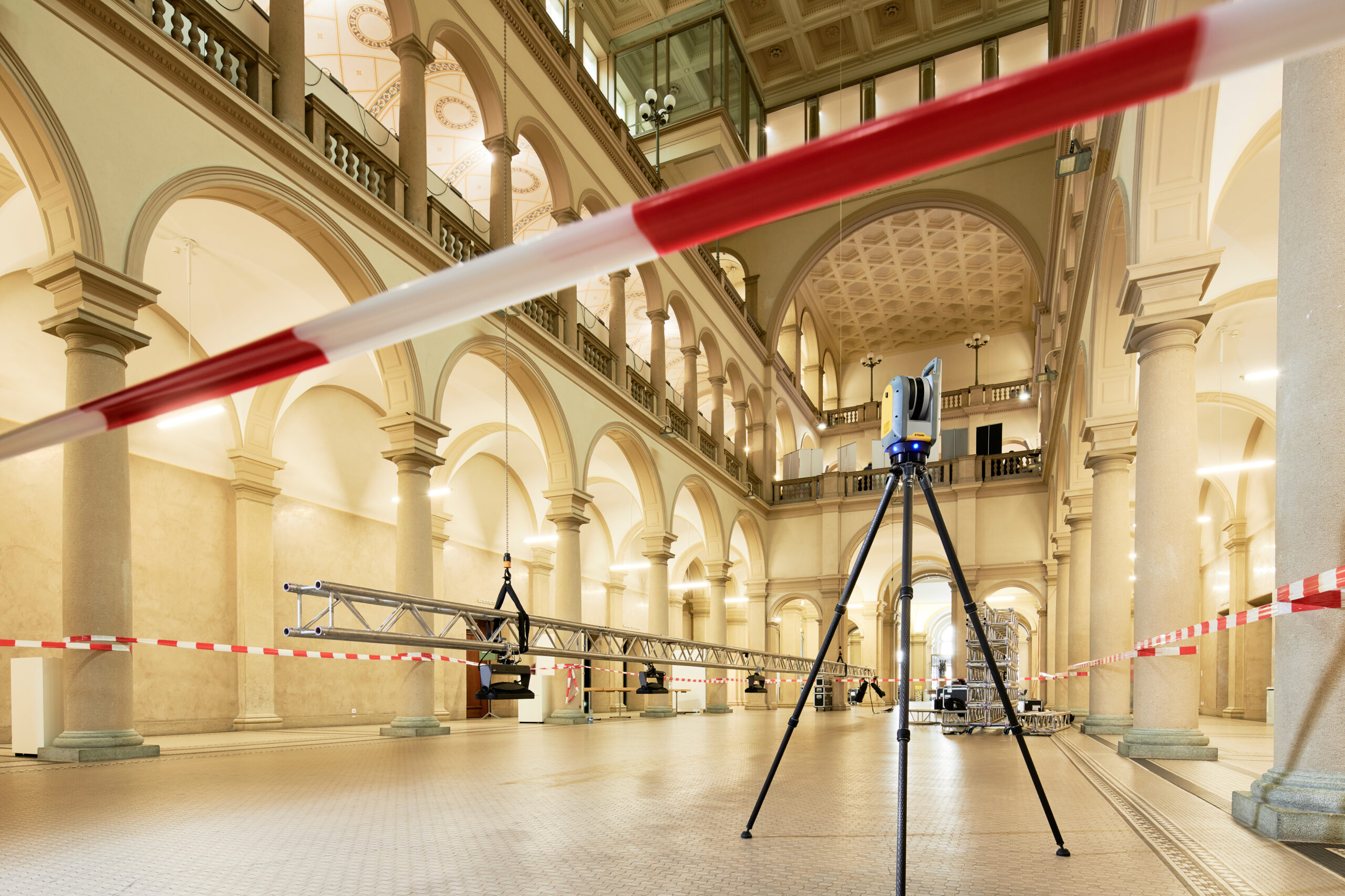
The Trimble SX12 combines scanning and total station functionality in a single instrument, useful where a scene needs both a dense scan of the surroundings and precise, individually measured evidence points. Rather than bringing two separate instruments to a scene, an investigator working with the Trimble SX12 can move between these two tasks without changing equipment.
Field Software: Trimble Forensics Capture
Guided Workflows for Investigators
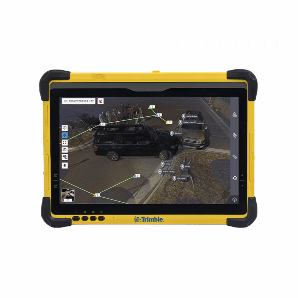
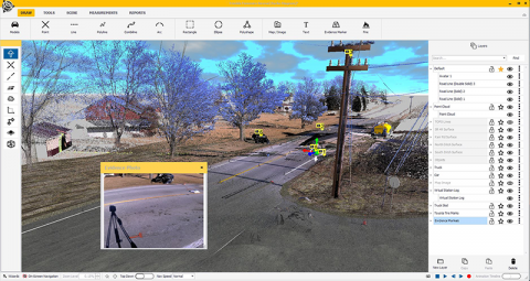
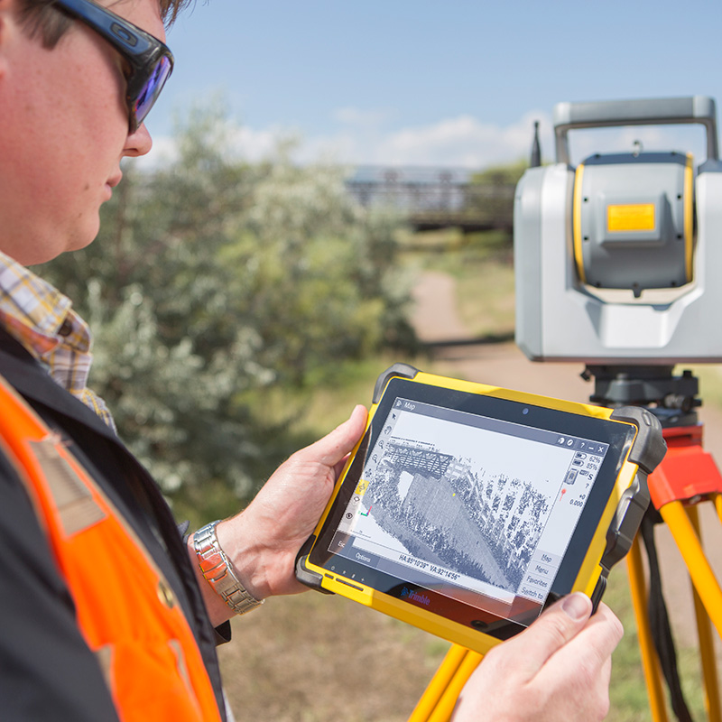
Trimble Forensics Capture manages the data collection workflow in the field, guiding the investigator through the scanning, GNSS, and total station tasks needed to document a scene thoroughly. A guided workflow matters in this context because forensic scene work is rarely repeated under ideal conditions, and a structured process reduces the chance of a step being missed under time pressure.
Connecting Field Capture to Office Analysis
Trimble Forensics Capture creates georeferenced point cloud data on site, which then carries forward into office-based analysis without needing to be reprocessed or reconciled later. This connection between field capture and office analysis is covered in detail in our companion guide on Trimble Forensics Capture.
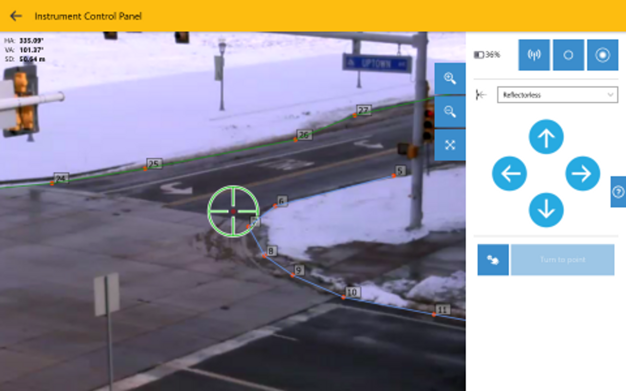
Trimble X9 Scanner for Evidence Point Measurement
Precise Measurement of Individual Evidence Items
Where a specific evidence item needs an individually measured, highly precise position, the Trimble X9 scanner remains the right instrument. A scan captures the whole scene at once, then after using the Precision Point tool uses the laser on the Trimble X9 scanner to target measurements of a single item, such as a cartridge case or a point of impact.
GNSS for Scene Positioning
Georeferencing the Scene to a Known Location
A GNSS receiver ties a scene’s local measurements to a known, absolute position on the ground. This matters for any scene where the exact location needs to be recorded precisely and unambiguously, particularly for outdoor scenes such as collision sites where the position relative to the wider road network is itself part of the evidence.
GNSS Limitations at Scenes with Poor Sky Visibility
GNSS depends on a clear view of the sky, which is not always available at a forensic scene. Indoor scenes, scenes beneath structures, or scenes in dense urban environments with poor satellite visibility all limit what GNSS alone can achieve. In these conditions, a total station or scan-based control method takes over the positioning role that GNSS would otherwise provide.
Choosing the Right Combination of Equipment
Most forensic scenes are documented most effectively with more than one type of equipment working together, rather than relying on a single instrument for everything. A typical outdoor collision scene might use the Trimble X9 to capture the full scene, GNSS to fix its absolute position, and a total station to measure specific evidence points precisely. An indoor scene with restricted access might rely more heavily on the Exyn Nexys instead. Matching the equipment to the scene, rather than defaulting to one approach regardless of conditions, is what produces the most complete and defensible record.
Frequently Asked Questions
How quickly can a 3D laser scanner document a crime scene?
A typical scene can be captured with the Trimble X9 in a matter of minutes per scan position, considerably faster than equivalent manual measurement. The exact time depends on the size and complexity of the scene and how many scan positions are needed to capture it fully.
Is 3D scan data admissible as evidence in court?
3D scan data is widely used and accepted as evidence in court proceedings, provided it has been captured and processed using a defensible, repeatable methodology. As with any evidence, the underlying process matters: a documented chain of capture, processing, and analysis is what supports the data’s admissibility rather than the technology alone.
How does KOREC support forensic teams?
KOREC supplies the Trimble X9, Exyn Nexys, Trimble SX12, and the supporting total station and GNSS equipment used across forensic scene documentation, alongside training and technical support from the UK and Ireland.
Learn more about the equipment used in forensic scene documentation
KOREC can advise you on how the right equipment for forensic scene documentation. Speak to our friendly experts today to get the right technology to solve your project challenges.
How 3D Laser Scanners Are Used at Crime and Collision Scenes
Find out how 3D laser scanners capture complete crime and collision scenes in minutes, why speed matters for scene clearance, and how point cloud data supports evidence analysis and court...
If a project requires refurbishment, redevelopment, restoration or extension of an existing property, it is likely that a measured survey will be required. Here we dig deeper into why, what...
Any professional is only as good as their tools. This is especially true of land surveyors. This profession requires extraordinary exactitude, and the surveying instruments that it requires need to...