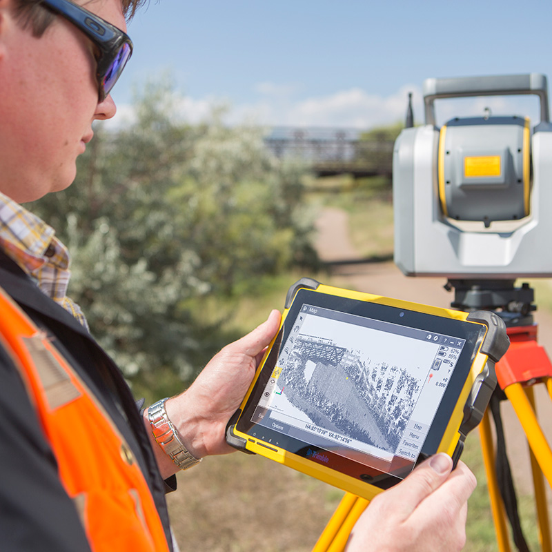
How 3D Laser Scanners Are Used at Crime and Collision Scenes
Find out how 3D laser scanners capture complete crime and collision scenes in minutes, why speed matters for scene clearance, and how point cloud data supports evidence analysis and court presentation.
Our scanning specialist with 20+ years in geospatial, Melvin has spent a decade capturing huge volumes of data with laser scanners, and is equally passionate about promoting surveying careers through school talks and college partnerships.
A 3D laser scanner has become the standard tool for documenting major crime and collision scenes, replacing methods that once took hours with a process that takes minutes. This guide looks specifically at how that technology works, why it has become the preferred approach, and what the data it produces makes possible once the scene has been cleared.
Why 3D Laser Scanning Has Become the Standard for Major Scene Documentation
From Manual Measurement to Complete Scene Capture
Manual measurement, using tape measures, sketches, and a limited set of recorded points, can only ever capture a sample of a scene. A 3D laser scanner captures everything within range, recording the scene as it exists at that moment rather than a set of points an investigator chose to measure. This shift, from a sampled record to a complete one, is the foundation of everything else in this guide.
The Cost of Keeping a Scene Closed
Every additional minute a road or site remains closed carries a measurable economic and safety cost. A closed carriageway disrupts traffic, diverts emergency response routes, and keeps a site inaccessible for any other work that depends on it. Because a scanner captures a complete scene far faster than manual measurement, it directly reduces this closure time, which is one of the clearest, most quantifiable benefits the technology delivers.
How a 3D Laser Scanner Documents a Scene
How the Technology Works
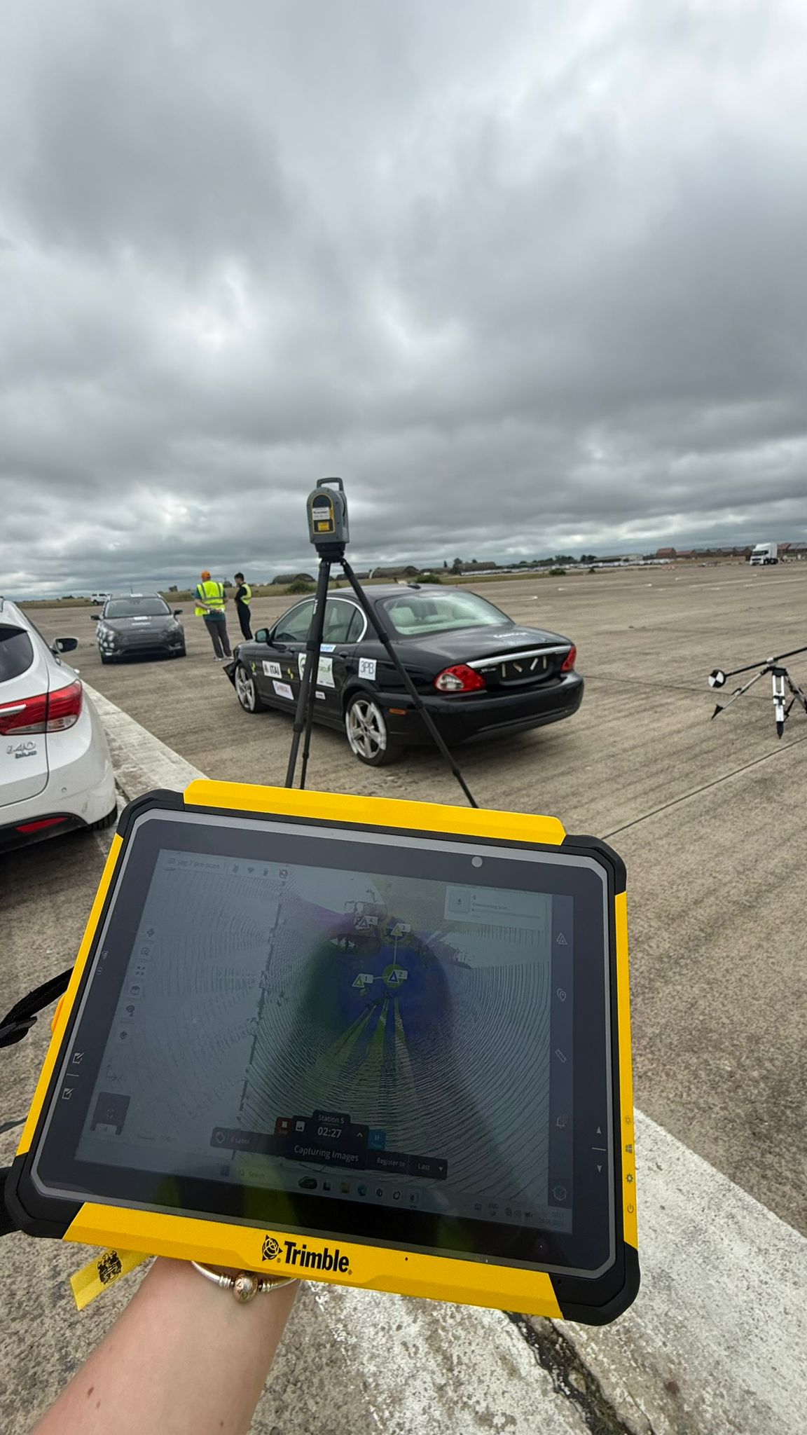
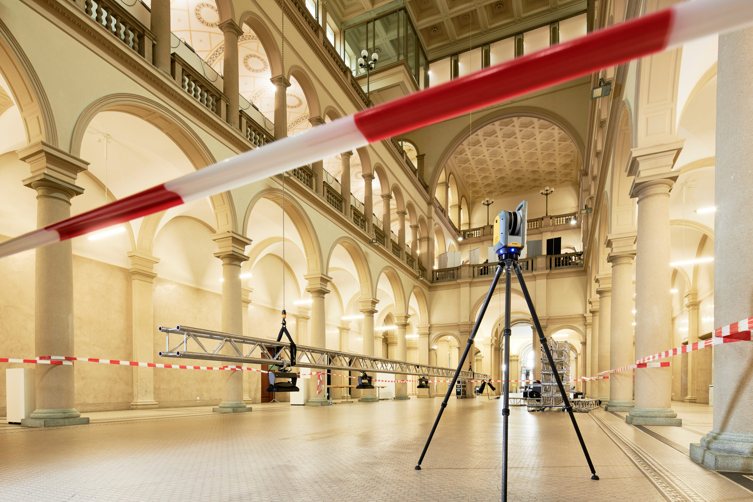
A 3D laser scanner emits pulses of laser light and measures the time each pulse takes to return after striking a surface, building up a dense set of measured points known as a point cloud. Set up at a position with a clear view of the scene, the scanner rotates through a full sphere, capturing everything visible from that position in a single automated pass.
What a Scan Captures That Manual Measurement Cannot
A scan captures the complete geometry of a scene, including surfaces, objects, and spatial relationships an investigator might not think to measure at the time, simply because their significance only becomes clear later in the investigation. This is a meaningful advantage over manual measurement, where only what was specifically measured on the day exists in the record.
How Many Scans Are Needed to Document a Scene?
Most scenes require more than one scan position to eliminate gaps caused by obstructions such as vehicles, furniture, or structural features. The exact number depends on the scene’s size and complexity, but the principle is the same throughout: enough positions to ensure every relevant area has been captured from at least one viewpoint.
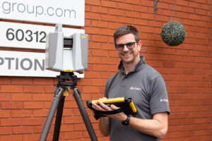
Trimble X9: The Primary Forensic Scanning Platform
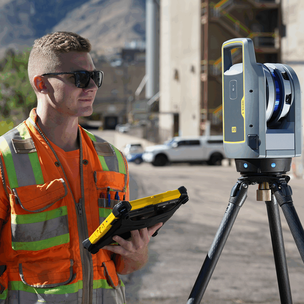
Speed, Accuracy, and Ease of Use at the Scene
The Trimble X9 captures up to 1 million points per second with a range of up to 150 metres. In practical terms, this means a single scan position covering a typical outdoor collision scene completes in a couple of minutes, and a scene that would previously have needed a road closed for hours can often be released substantially sooner. The same range also means fewer scan positions are needed to cover a large outdoor scene such as a motorway collision.
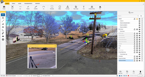
Colourised Point Cloud for Court-Ready Visualisation
The Trimble X9 captures colour alongside geometry, producing a point cloud that looks recognisably like the real scene rather than a plain grey geometric model. This colourisation matters when the data is eventually presented to a jury or legal team who are not trained to interpret abstract survey data, since a colourised scene is far easier for a non-technical audience to understand at a glance.
Exyn Nexys: SLAM Scanning for Complex Indoor Scenes
When a Tripod Scanner Cannot Access the Space
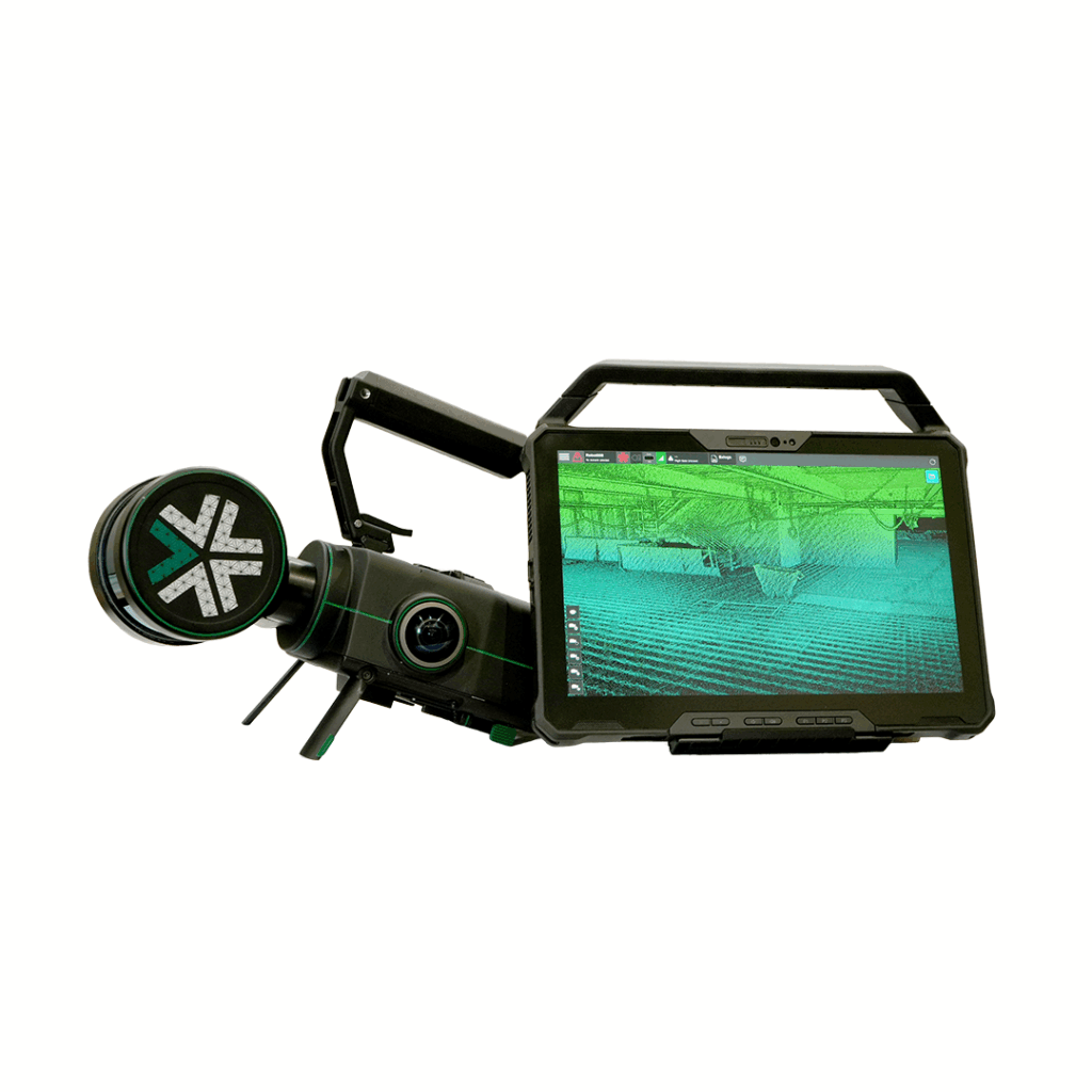
The Exyn Nexys uses SLAM technology, carried through a scene rather than set up at fixed tripod positions. This suits multi-room indoor environments, scenes with restricted or awkward access, or any layout where setting up a tripod scanner at every necessary position would be impractical or simply take too long.
Accuracy Considerations for SLAM Scanning
SLAM-based capture trades some absolute accuracy for the ability to move continuously through a space, which is a reasonable trade-off for the kind of complex indoor layout the Exyn Nexys is suited to. For scenes where the highest possible point accuracy is the priority, a stationary scan from the Trimble X9 remains the better choice where access allows for it.
Using Trimble Forensics Capture with the Scanner
Managing the Scanning Workflow in the Field
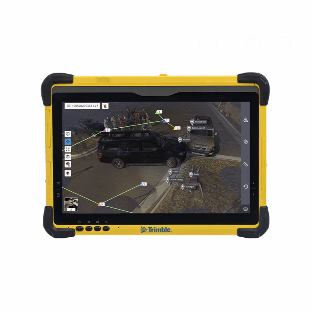
Trimble Forensics Capture manages the scanning workflow on site, helping the investigator plan scan positions and confirm coverage before leaving the scene. This matters because discovering a gap in coverage after the scene has been released is far harder to resolve than catching it on site.
Creating Georeferenced Point Clouds On Site
Trimble Forensics Capture ties the scan data to a known position while still in the field, producing a georeferenced point cloud rather than raw data that needs positioning work later. Our companion guide on Trimble Forensics Capture explains this workflow in full.
What the Point Cloud Enables After the Scene
Measurements That Can Be Taken After Scene Clearance
Because the point cloud is a complete, measurable record, an investigator can take new measurements from it long after the physical scene has been cleared and reopened. This is one of the most valuable practical consequences of scanning: a question that arises weeks into an investigation can often be answered from the existing scan, without needing to have anticipated that exact question on the day.
The Route to Court-Ready Deliverables
From this point, the point cloud moves into office-based analysis and reconstruction, where it is processed into the diagrams, measurements, and visualisations a case eventually relies on. Our guide on forensic mapping software covers this next stage of the workflow in detail.
Frequently Asked Questions
How long does it take to scan a collision scene?
A single scan position with the Trimble X9 typically takes a couple of minutes, with most scenes needing several positions to eliminate gaps caused by obstructions. A typical outdoor collision scene can usually be fully captured well within the time a manual measurement survey of the same scene would take.
What accuracy does the Trimble X9 achieve at a forensic scene?
The Trimble X9 is built for survey-grade accuracy, capturing up to 1 million points per second at a range of up to 150 metres. This level of detail supports precise measurement of evidence points, vehicle positions, and scene geometry directly from the point cloud.
Can scan data be used in court proceedings?
Yes, provided it has been captured and processed using a defensible, documented methodology. Scan data is widely accepted as evidence where the chain of capture and analysis can be demonstrated clearly, which is one of the reasons a structured field workflow matters as much as the scanning hardware itself.
Learn more about 3D Laser Scanners at Crime and Collison Scenes
KOREC can advise you on how 3D laser scanners are used at crime and collision scenes. Speak to our friendly experts today to get the right technology to solve your project challenges.
What Equipment Is Used in Forensic Scene Documentation?
Discover the geospatial equipment used at crime and collision scenes, from 3D laser scanners and total stations through to GNSS, and how each tool contributes to accurate, court-ready documentation.
If a project requires refurbishment, redevelopment, restoration or extension of an existing property, it is likely that a measured survey will be required. Here we dig deeper into why, what...
Any professional is only as good as their tools. This is especially true of land surveyors. This profession requires extraordinary exactitude, and the surveying instruments that it requires need to...