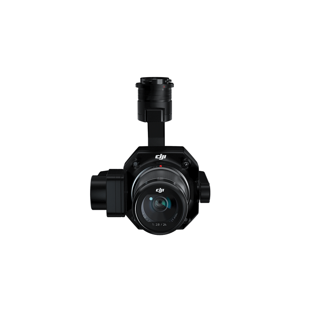
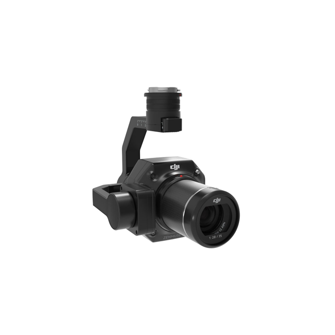
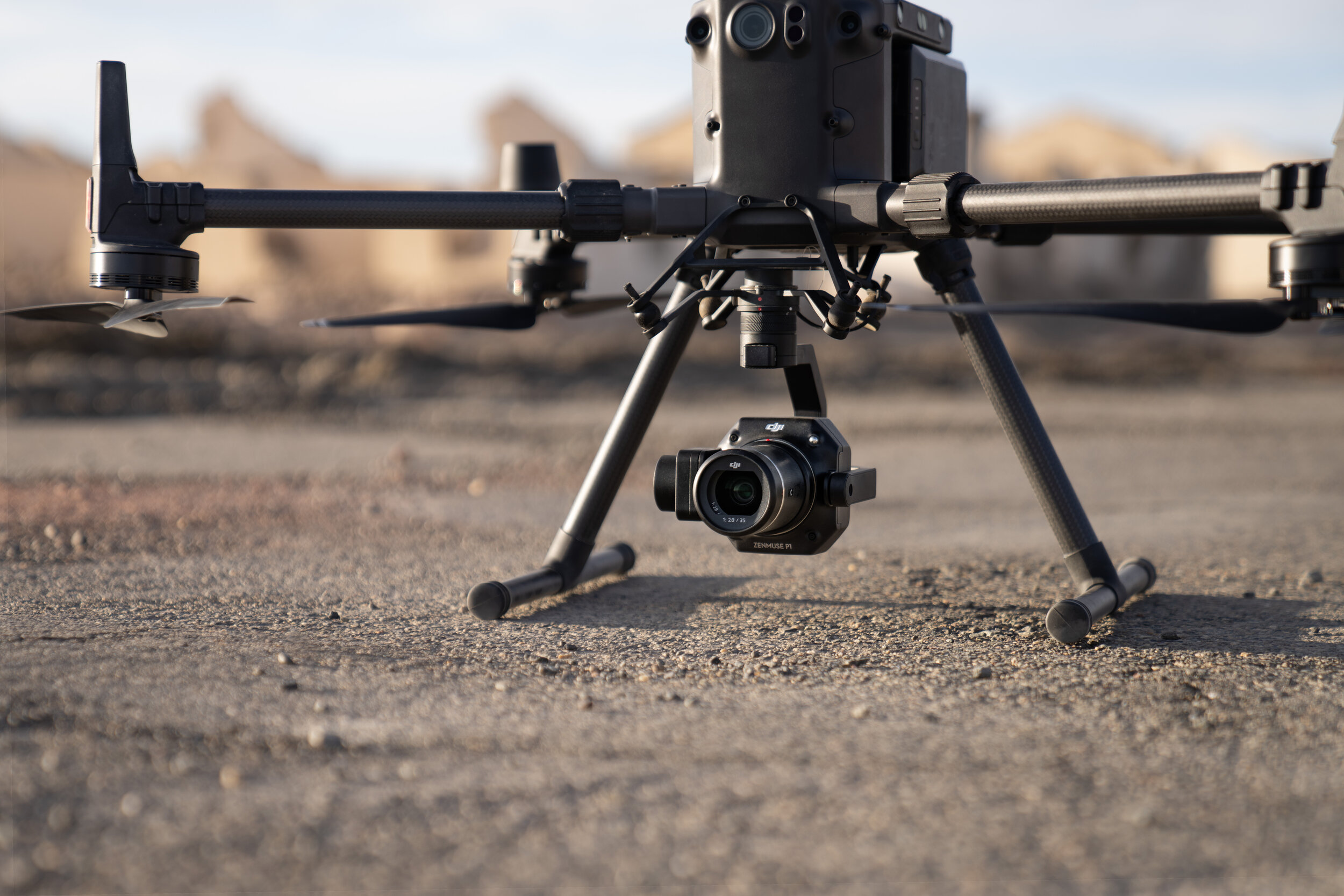
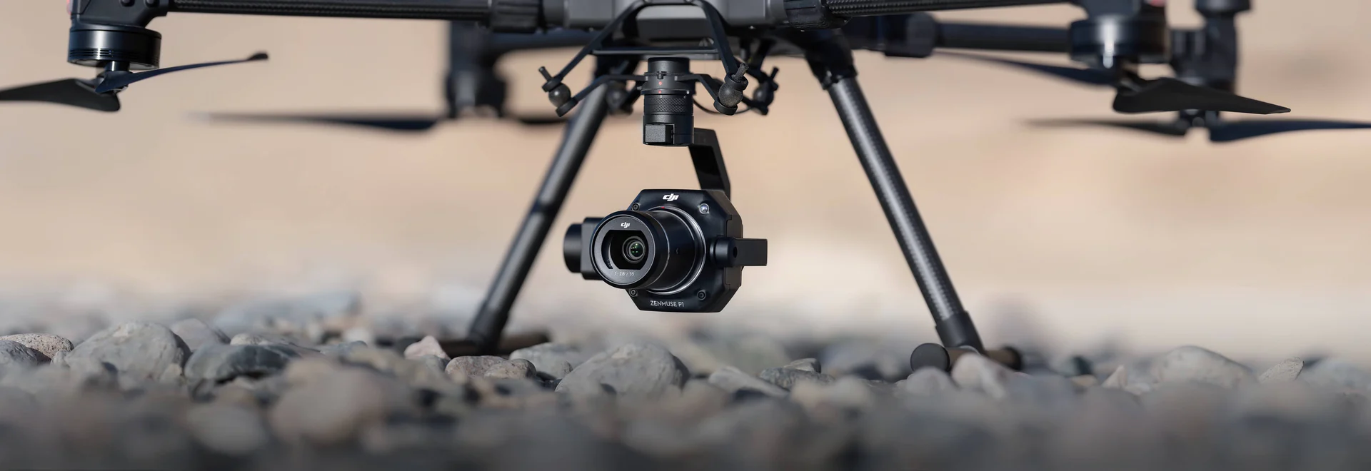
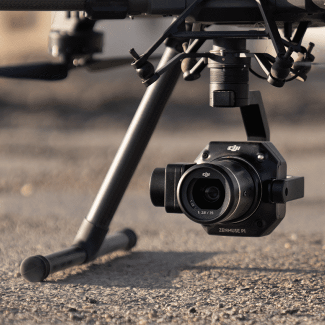
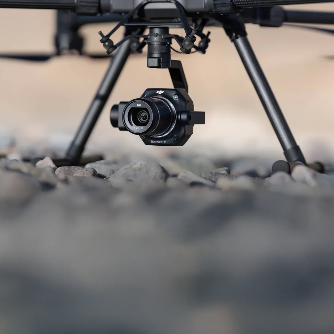
A new benchmark for aerial surveying, the Zenmuse P1 integrates a full-frame sensor with interchangeable fixed-focus lenses on a 3-axis stabilized gimbal. Designed for photogrammetry flight missions, it takes efficiency and accuracy to a whole new level.


Extraordinary efficiency
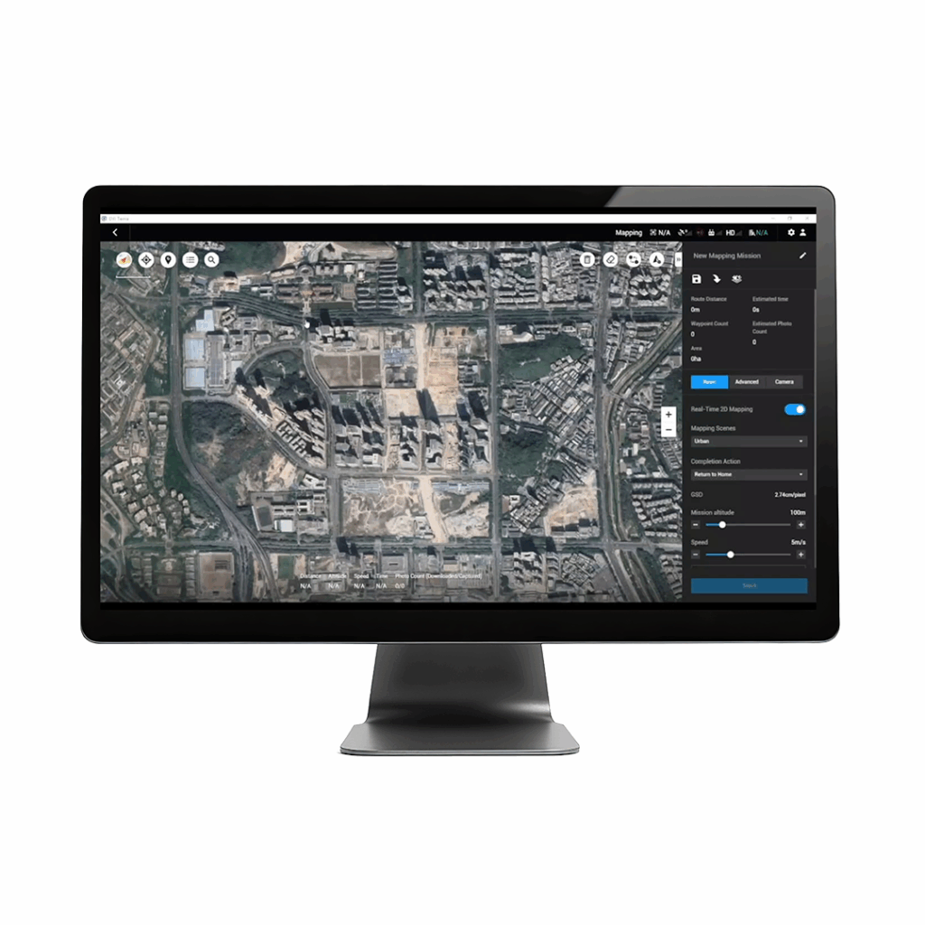
The P1 includes a full-frame, low-noise high-sensitivity sensor that can take a photo every 0.7 s during the flight, and covering 3 km2 [2] in a single flight.
Remarkable accuracy
Equipped with a global mechanical shutter and the all-new TimeSync 2.0 system, which synchronizes time across modules at the microsecond level, the Zenmuse P1 lets users capture centimeter-accurate data combined with the real-time position and orientation compensation technology.

Robust versatility
Create 2D, 3D, and detailed models thanks to the integrated 3-axis gimbal that can be outfitted with 24/35/50mm lenses and the Smart Oblique Capture feature.
Smart oblique capture
Cover 7.5 km2 in a single workday with the P1. Elevate the efficiency of your oblique photography mission using Smart Oblique Capture, where the gimbal automatically rotates to take photos at the different angles needed. Only photos essential to the reconstruction will be taken at the edge of the flight area, increasing the efficiency of post processing 20-50%.
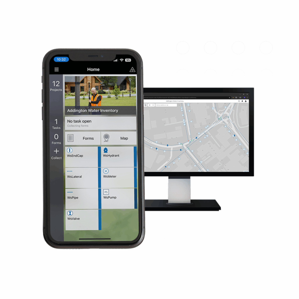
The technical specification of the Zenmuse P1 makes it suitable for a wide range of applications including Topographic Mapping, Cadastral Surveying, AEC & Surveying, Natural Resource Management, Geological Investigation and Disaster Site Modelling.
• Accuracy without GCPs: 3cm horizontally / 5cm vertically
- High efficiency – 3km² covered in a single flight
- 45 MP full-frame sensor
- 3-axis stabilised gimbal: smart oblique capture
- Global mechanical shutter: shutter speed 1/2000 seconds
- TimeSync 2.0 – synchronisation at the microsecond level
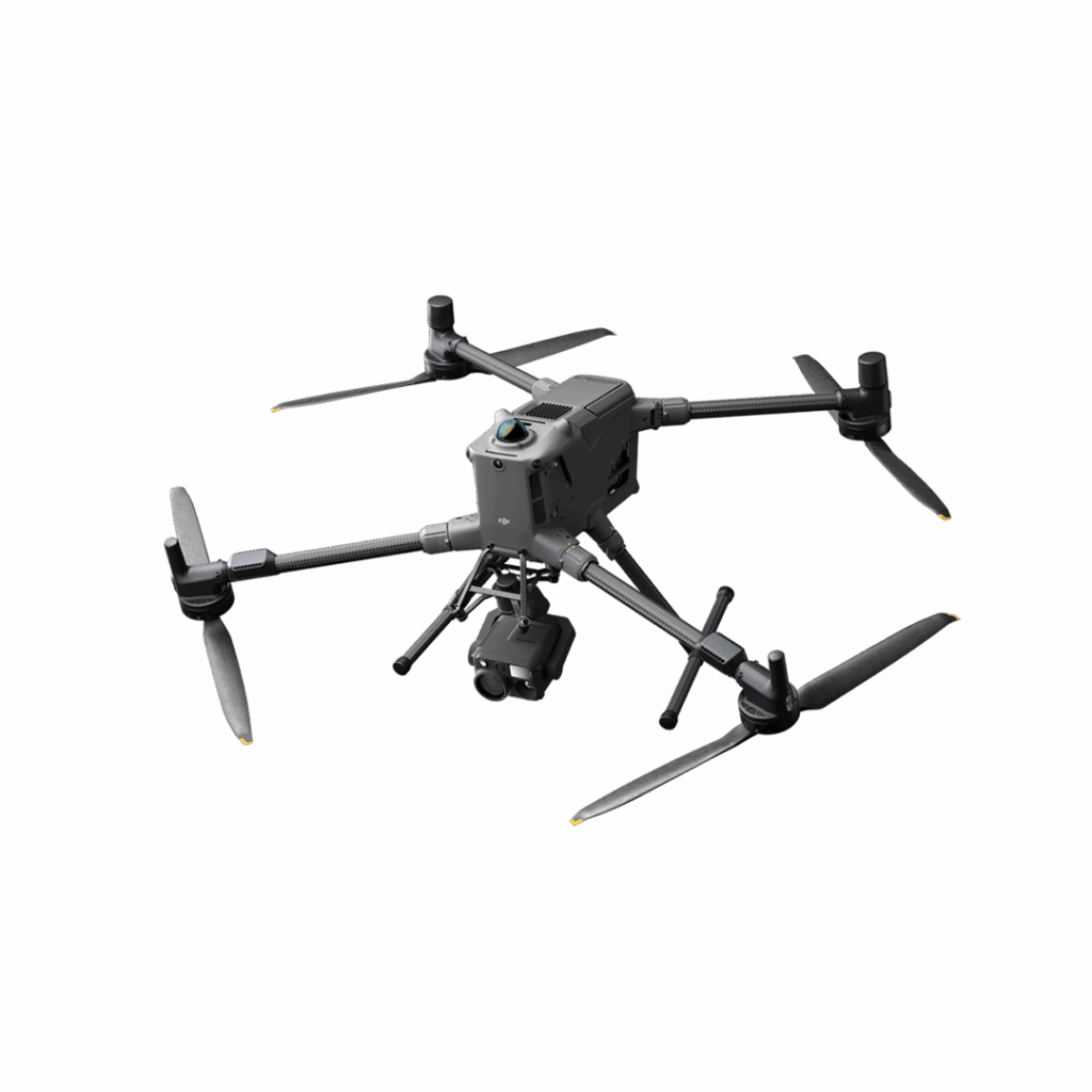
DJI Matrice 400
Engineered for excellence, designed for versatility