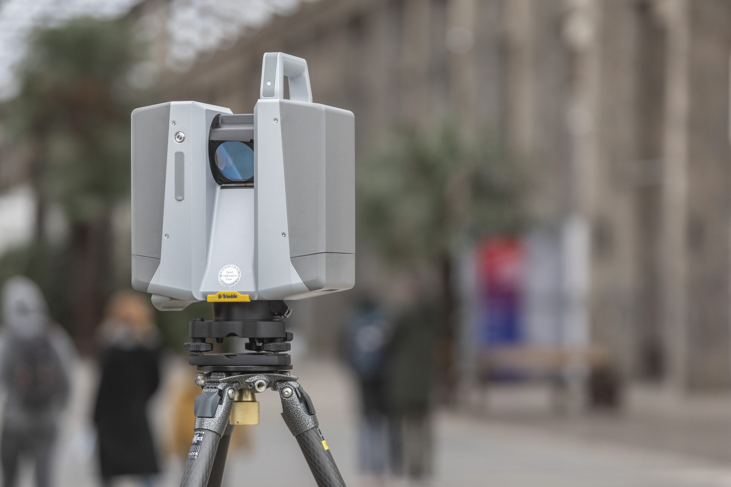
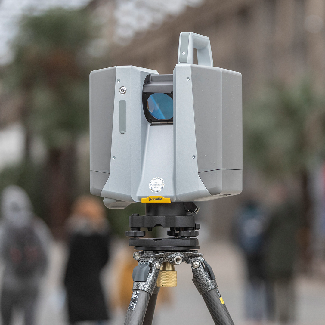
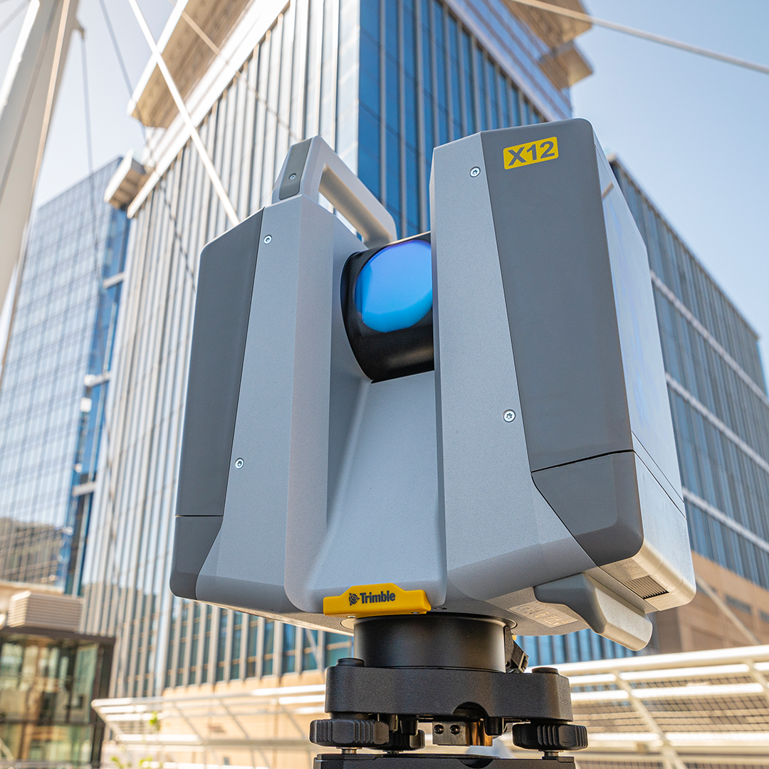
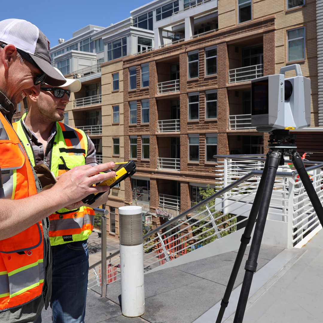
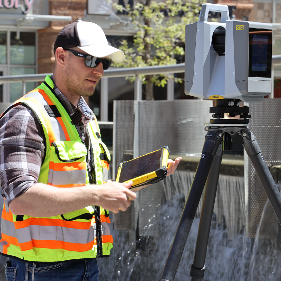
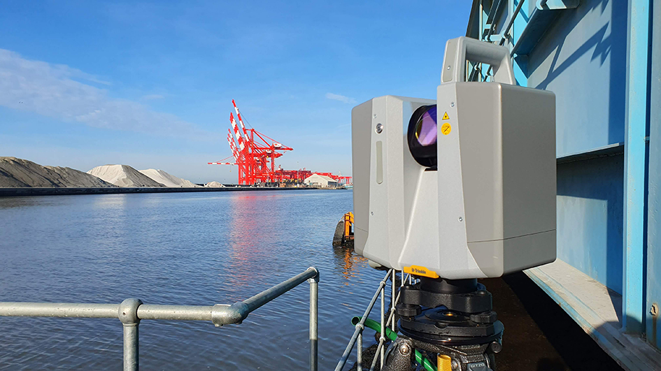
Trimble X12
£POA
PRODUCT ENQUIRY
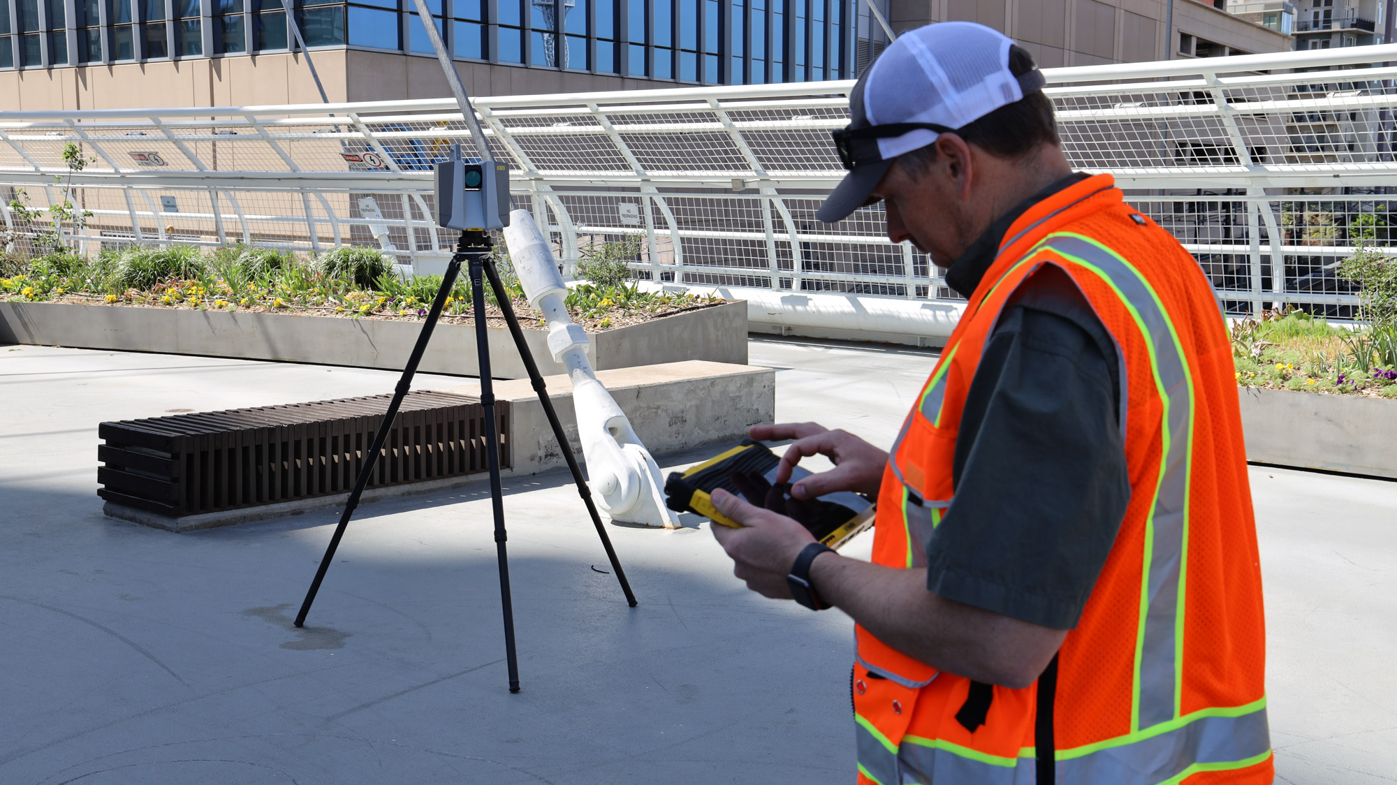
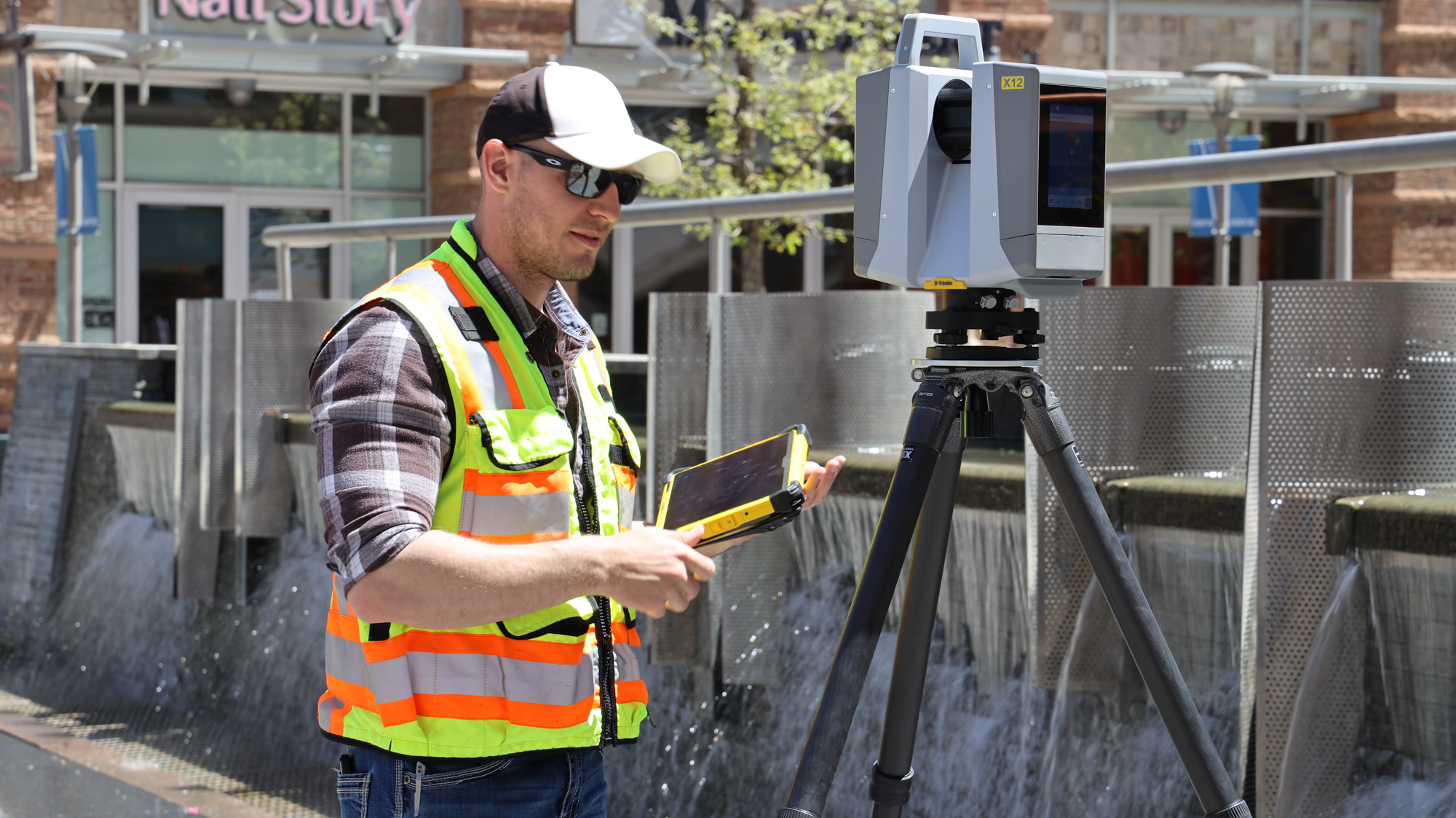
Wherever surveying takes you, the premium Trimble X12 provides solutions to the most complex problems right where you are, right when you need them.
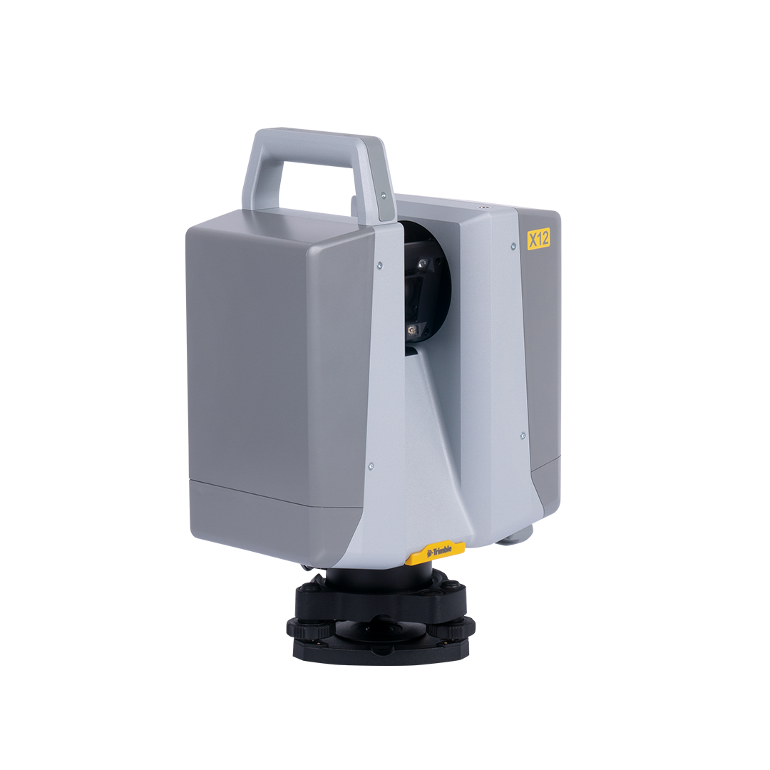
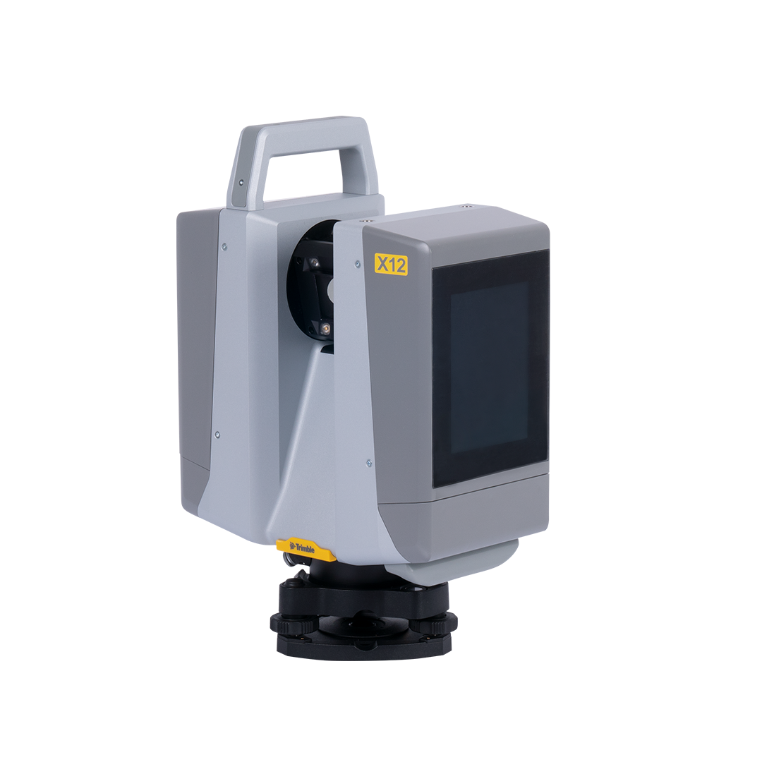
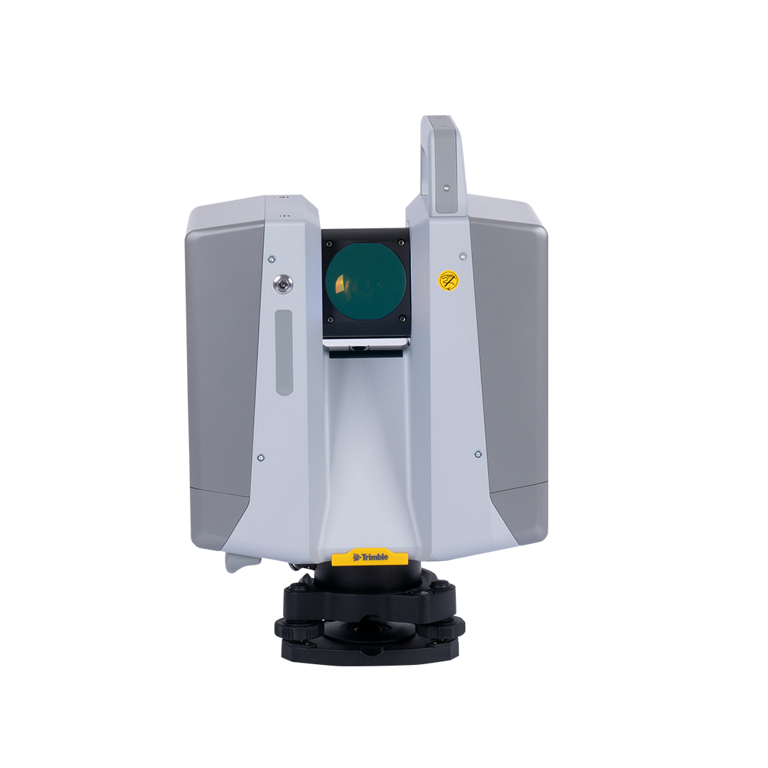
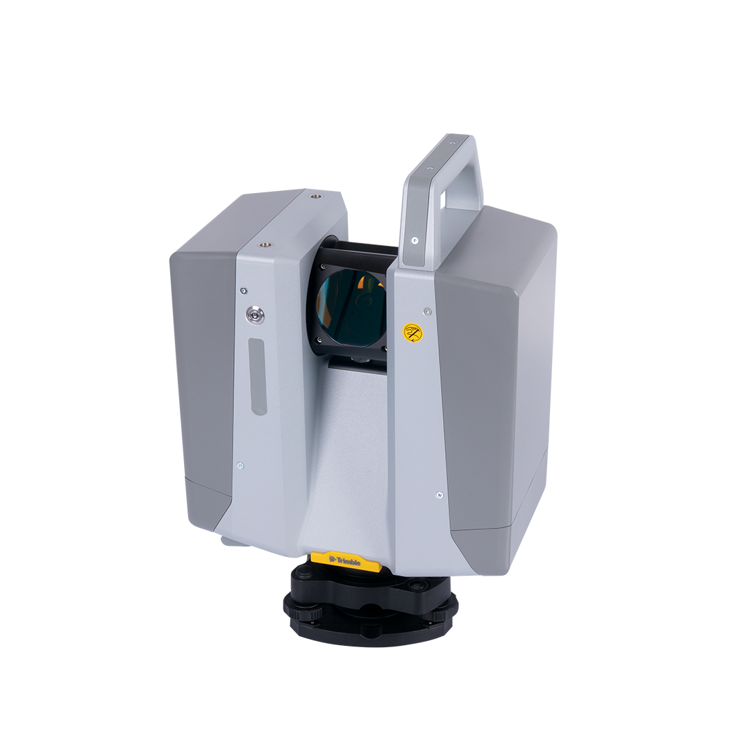
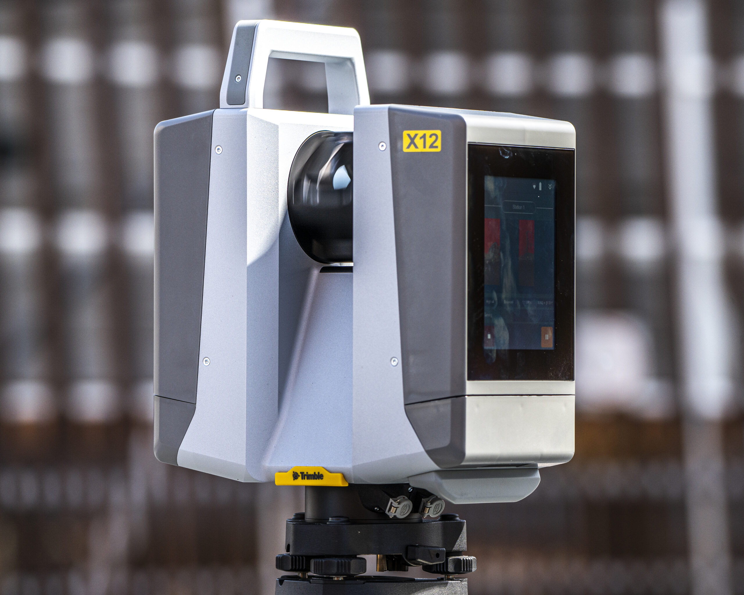
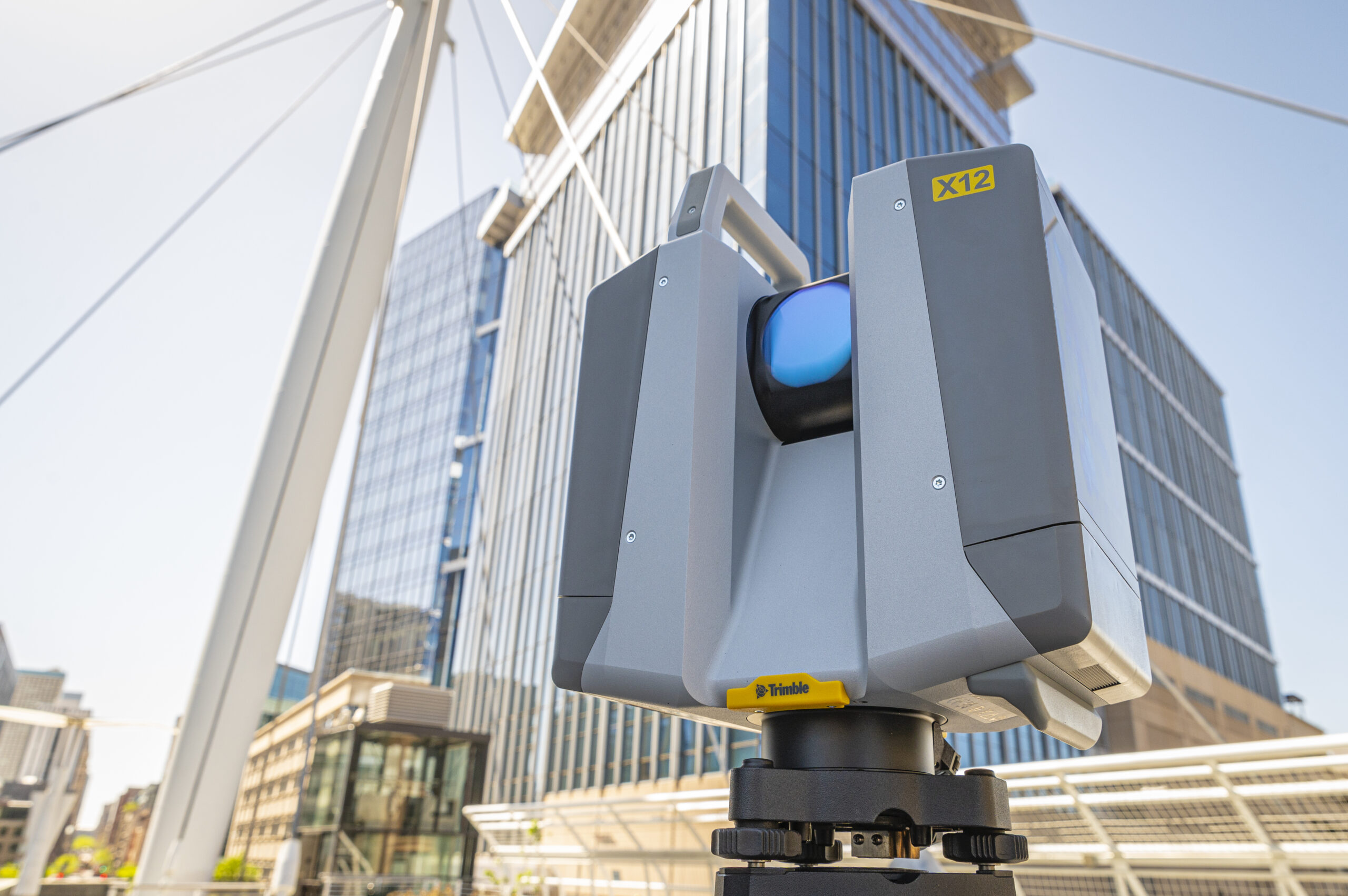
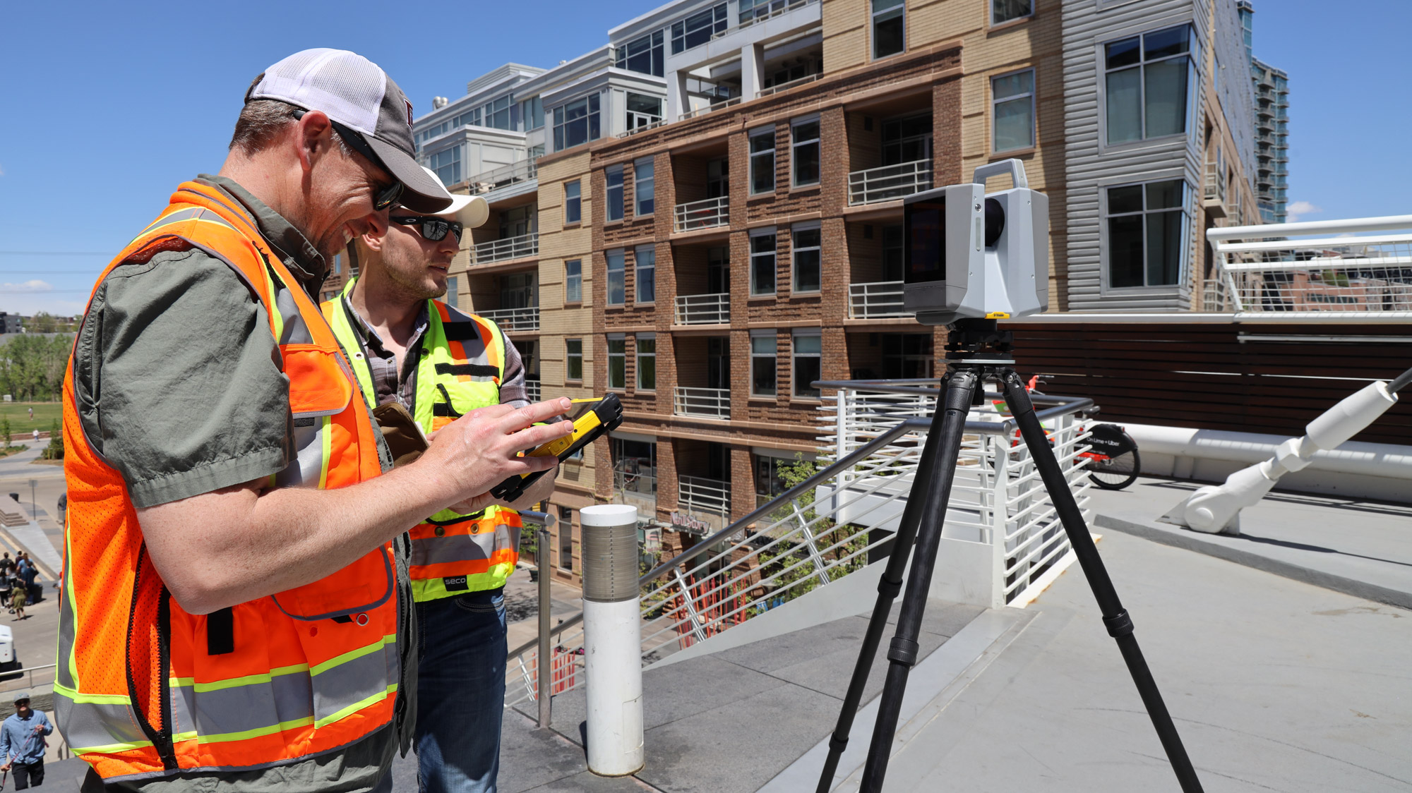
The Trimble® X12 system enables accessible high-end 3D laser scanning with superior speed, accuracy, range, and incredible image clarity for all scanning applications. Scan up to 2.2 million ultra-accurate points per second, and view the results enhanced with astonishingly vivid panoramic images. Experience pure ease and total confidence in the field with Trimble Perspective’s seamless workflows and automatic in-field registration.
Download sample data – Simply fill in this form to request your sample data.
KOREC will email you a link to download.

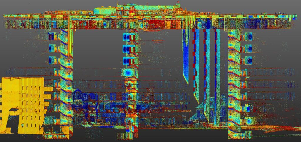
Superior data quality
Exceptional accuracy, range and speed to quickly capture high density data with low range noise for the most complex applications.
Incomparable data acquisition
Sharp, parallax free images for flawless panoramas and scan colourisation, plus LED spotlights to capture images even in complete darkness.
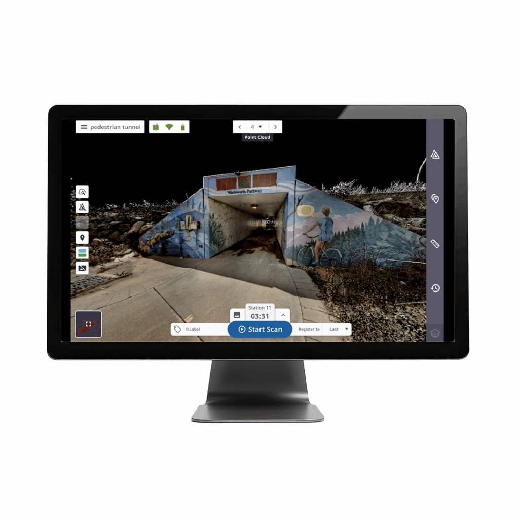
Intuitive & powerful
Trimble Perspective provides unparalleled clarity in the field with automatic scan registration and full 3D visibility to validate data in real time.
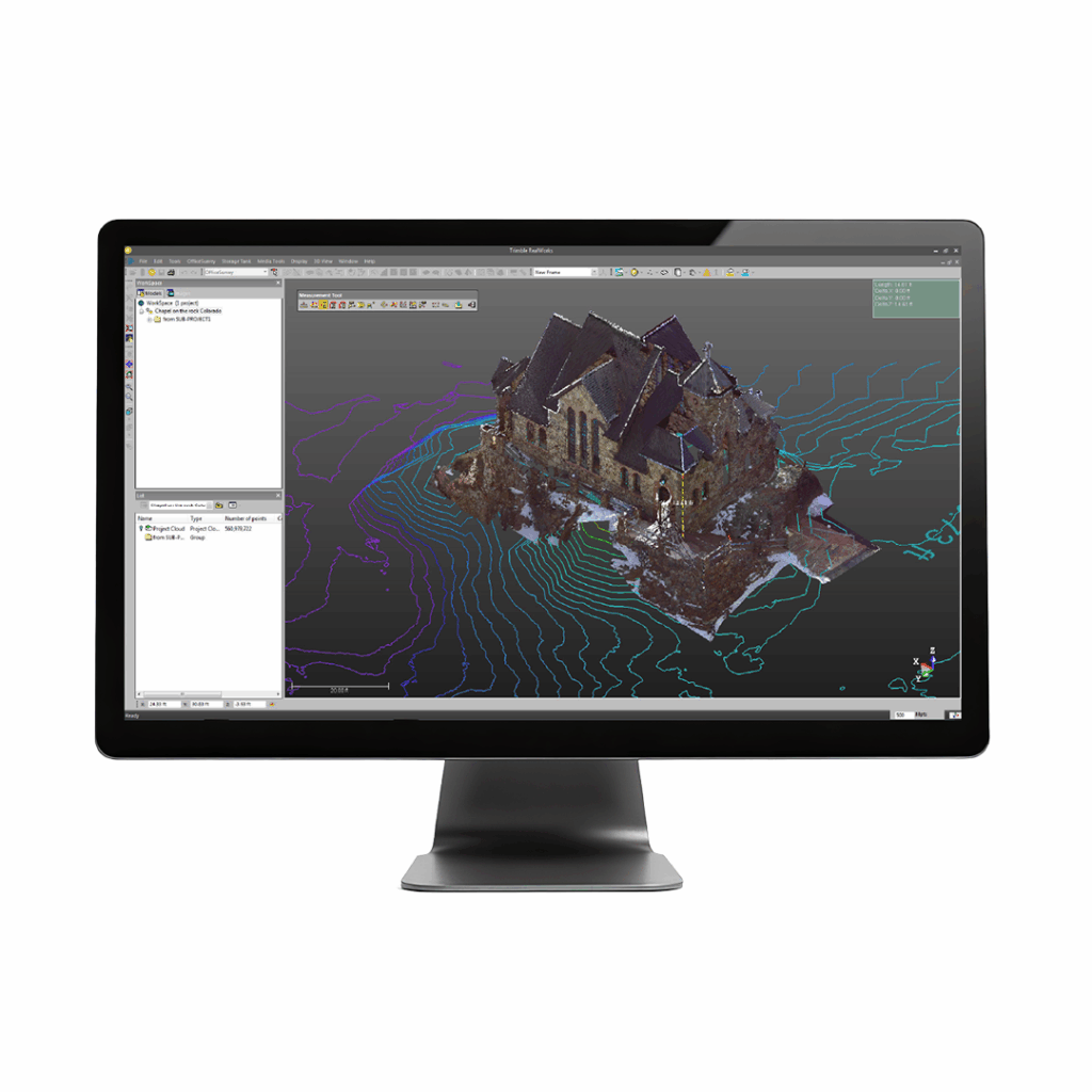
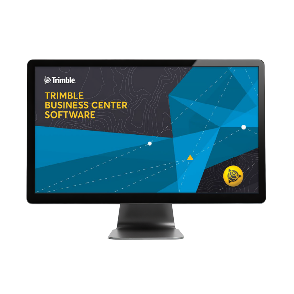
Complete scanning solution
With Trimble Business Center or RealWorks software, leverage advanced application specific tools for registration, scan analysis and design to enhance final deliverables.
The Trimble® X12 3D laser scanning system unites the best of both worlds with industry-leading hardware and ultra-efficient Trimble Perspective software for guaranteed peak performance.
• High resolution point clouds – up to 2.187 million pts per second
- Superior scan range – 0.3 m to 365 m ambiguity interval
- Quick, flexible point cloud capture – full dome scans as fast as 23 seconds
- Sharp, clean image acquisition – colourised point clouds, parallax free
- Ease of use – intuitive Trimble Perspective workflows
- LED spotlight – easy capture in dark environments
| Terrestrial Scanning Systems | Scan Speed | Scan Range | Range Noise | 3D Point Accuracy | Scan Time | Imaging | Image Acquisition Time | Interface | Dual Axis Compensator | Ingress Protection | Laser Class |
| Trimble X7 | Up to 500 kHz | 0.6 m–80 m | < 2.5 mm @ 30 m | 3.5 mm @20 m | 2-7 minutes | 3 coaxial, calibrated 10MP cameras | 1-2 min Standard (2-6min HDR) | WLAN via Trimble Perspective Windows tablet or Perspective Mobile from Apple or Android device | Accuracy <3″, Range ±10° | IP55 | Laser class 1, eye safe in accordance with IEC EN60825-1 |
| Trimble X9 Core | Up to 500 kHz | 0.6 m–80 m | < 1.5 mm @ 30 m on 80% albedo | 3.0 mm @20 m | 2-7 minutes | 3 coaxial, calibrated 10MP cameras | 1-2 min Standard (2-6min HDR) | WLAN via Trimble Perspective Windows tablet or Perspective Mobile from Apple or Android device | Accuracy <3″, Range ±10° | IP55 | Laser class 1, eye safe in accordance with IEC EN60825-1 |
| Trimble X9 Premium | Up to 1000 kHz | 0.6 m–150 m | < 1.5 mm @ 30 m on 80% albedo | 3.0 mm @20 m | 1-6 minutes | 3 coaxial, calibrated 10MP cameras | 1-2 min Standard (2-6 min HDR) | WLAN via Trimble Perspective Windows tablet or Perspective Mobile from Apple or Android device | Accuracy <3″, Range ±10° | IP55 | Laser class 1, eye safe in accordance with IEC EN60825-1 |
| Trimble X12 | Up to 2,187 kHz | 0.3 m–250 m; 365 m (Ambiguity Interval) | 0.25 mm @ 25 m (136 kHz) | 2.2 mm @20 m | 1-3 minutes | 80 MP panorama, paralax free image matching | 2-2.5 min (HDR) | Onboard touchscreen or Trimble Perspective on Windows tablet | Accuracy 14″, Range ±0.5°, Resolution 0.001° | IP54 | Laser class 1, eye safe in accordance with IEC 60825-1 |
| Trimble SX12 | 26.6 kHz | 0.9 m–600 m | 1.5 mm @ 50 m on 18-90% reflectivity | 2.5 mm @100 m std dev on sphere target position | 12 minutes | 3 calibrated cameras in telescope powered by Trimble VISION™ technology | 2.5 min Standard | WLAN via Trimble Access | Accuracy 0.5″, Range ±5.4′, Resolution 0.3″ | IP55 | Pulsed laser 1550 nm; Laser class 1M |
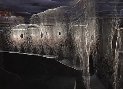
Exeter underground – surveying the city’s hidden history
A request to survey a 390m network of Exeter’s historic underground tunnels - some as narrow as 430mm - and to tie those tunnels to the topography of the streets above, presented exactly the kind of complex, technical challenge that Benchmark Surveys excels at.
New KOREC case study: OR3D
Why the crisp, clean data and sub-millimetre accuracy of the Trimble X12 3D Laser Scanner was ‘a game changer’ for specialist measurement consultants OR3D
New KOREC case study: Land Development Services
One job – two standout reasons to use the Trimble X12 3D Laser Scanner. With an extensive survey fleet to choose from, it was the Trimble X12 that Land Development […]
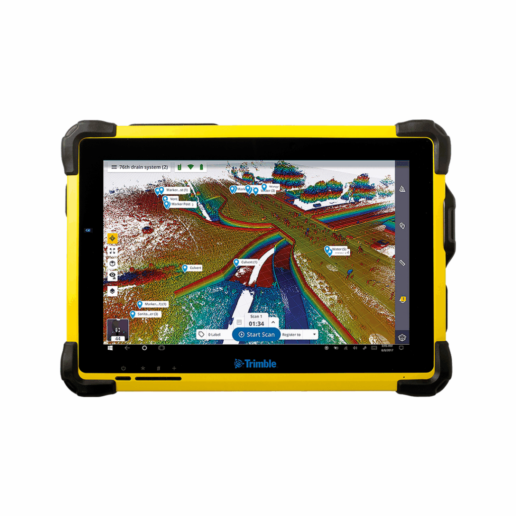
Trimble T10X
A rugged tablet designed to handle large datasets.