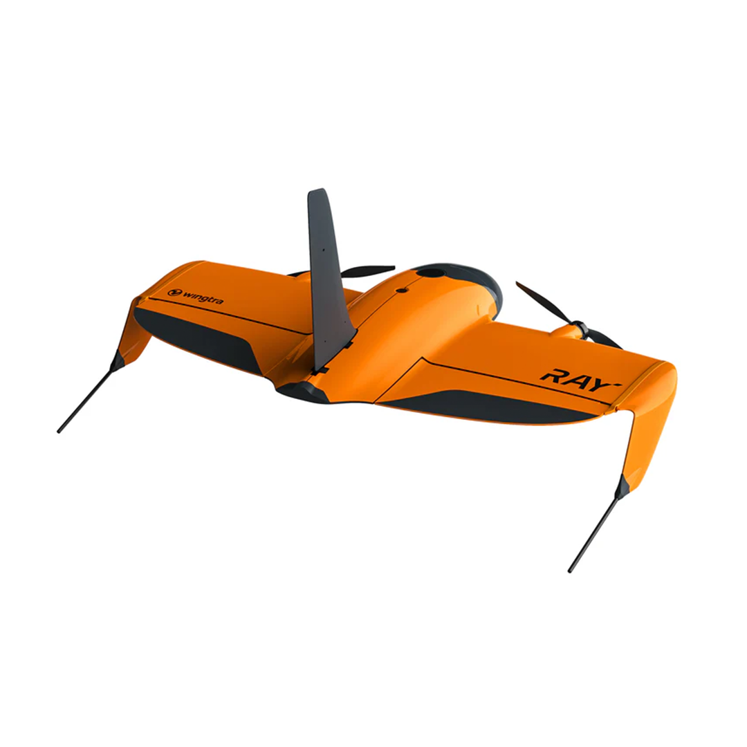
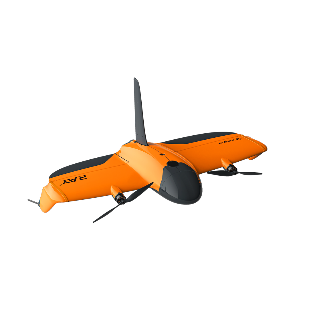

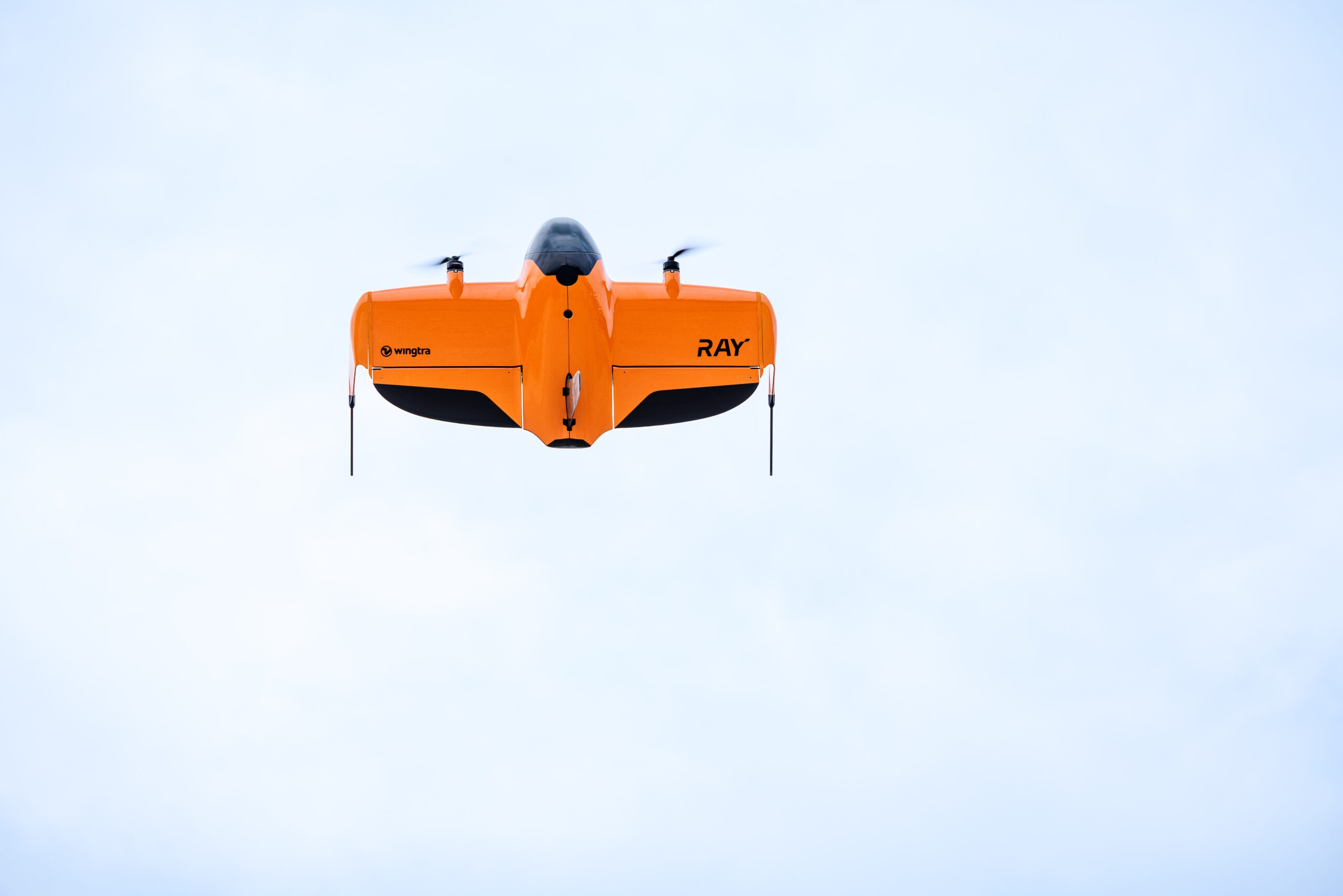
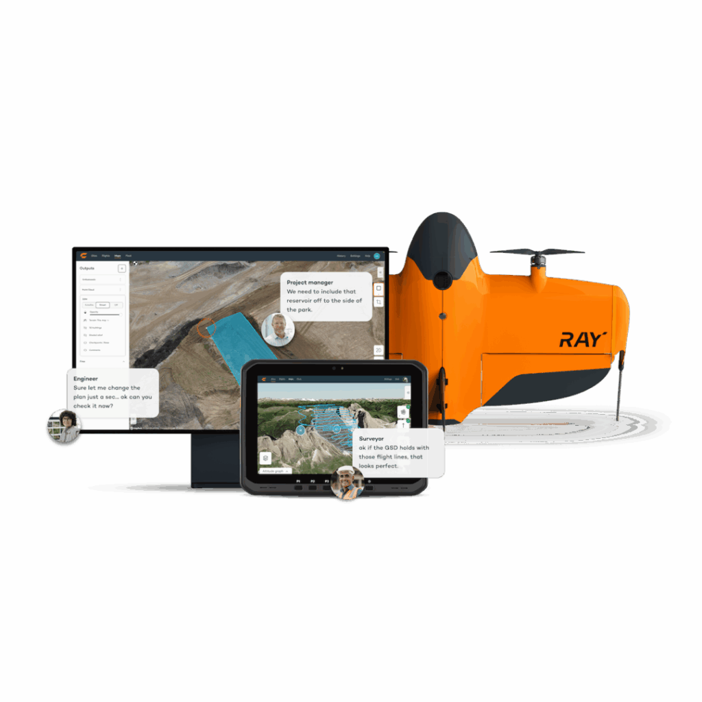
The WingtraRAY is more than a drone – it’s an aerial intelligence system
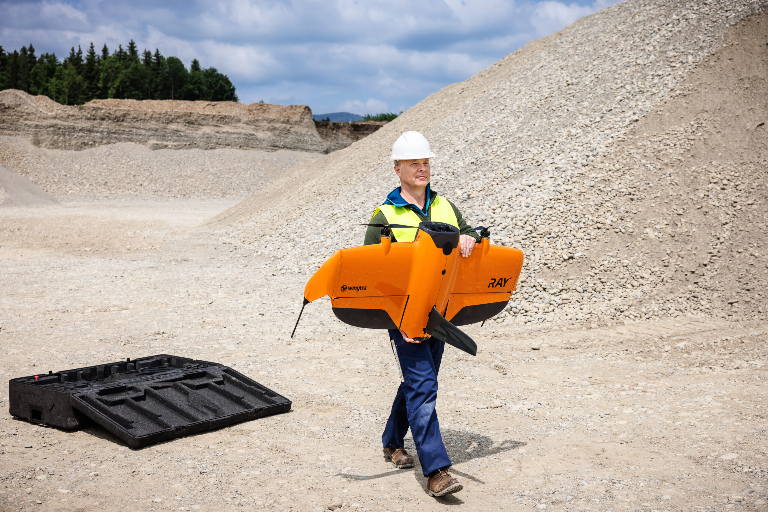
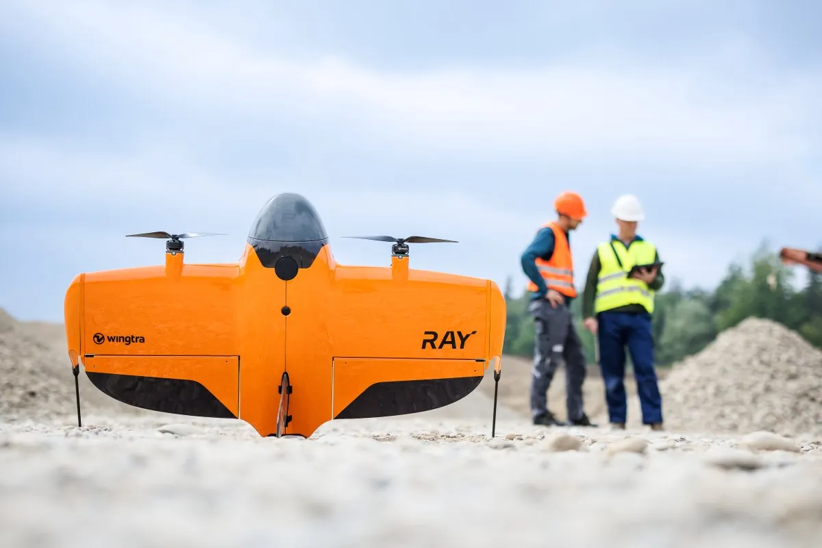
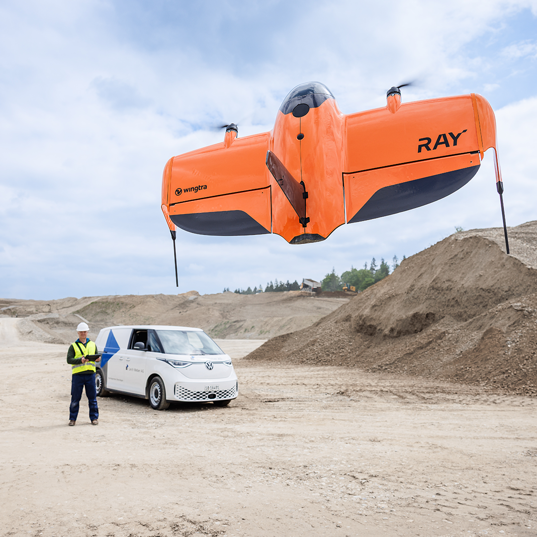
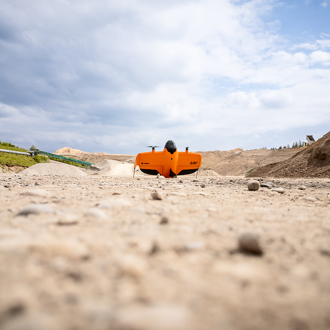
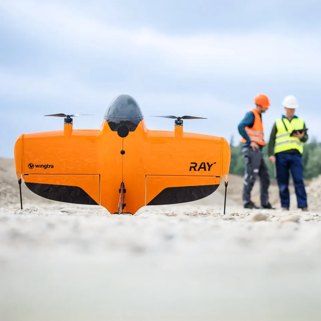
Fly with peace of mind – anywhere – with the WingtraRAY, even in urban areas. This VTOL drone has been designed with multiple safety features, including automatic parachute deployment, to help you focus on the job, not the risk, so you can get your data right first time. It’s an ideal choice for survey professionals who need fast, accurate, and scalable data collection—without the hassle of fragmented tools, flight permits, or rework.
- The Wingtra workflow makes it easy to focus on outcomes and data intelligence, not flying.
- Fly 4x further than a quadcopter with visual line of sight – CAA approved
- Wide array of payloads, including LiDAR, photgrammetary, INSPECT modules and more
- BlueUAS and MoD approved to fly military bases and sensitive sites
- Already used weekly on UK national infrastructure such as HS2 and Sizewell C
- Flies faster and further than the WingtraOne Gen II
Now C6 Certified! Flying just got even easier in the EU
The WingtraRAY is C6 class marked by the European Union Aviation Safety Agency (EASA) regulations. With the innovative parachute system, this means a full SORA is no longer required for flights over or near people, roads and other active sites in the EU. It’s now much easier to fly construction, road construction and other transport, and urban/semi-urban surveying sites.

Get your surveys done faster
A single workflow gets you to deliverables in the same day. Fly 100 ha (250 ac) in just 10 minutes which is 40% faster than the previous generation (WingtraOne GEN II) and 10x faster than multicopter drones.
Fly with peace of mind, anywhere
Feel safe flying, even in urban areas, with every feature designed to help you focus on the job, including C6 certification and a built-in parachute.
Ease of use
Anyone can fly it and everyone gets results. WingtraRAY makes it easy for you to collect survey-grade data—no extra training. Follow the checklist, fly, and deliver results to your team fast.

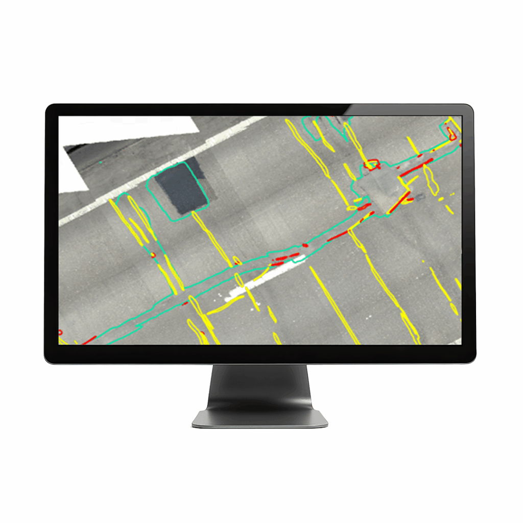
Get CAD/GIS-ready files in one, smooth flow
Efficiency is about reducing manual, error-prone tasks. WingtraRAY sits tightly in a single workflow. No file conversions, no app switching. Just plan, fly, and process—all in one connected system.
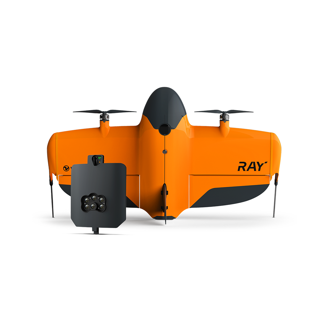
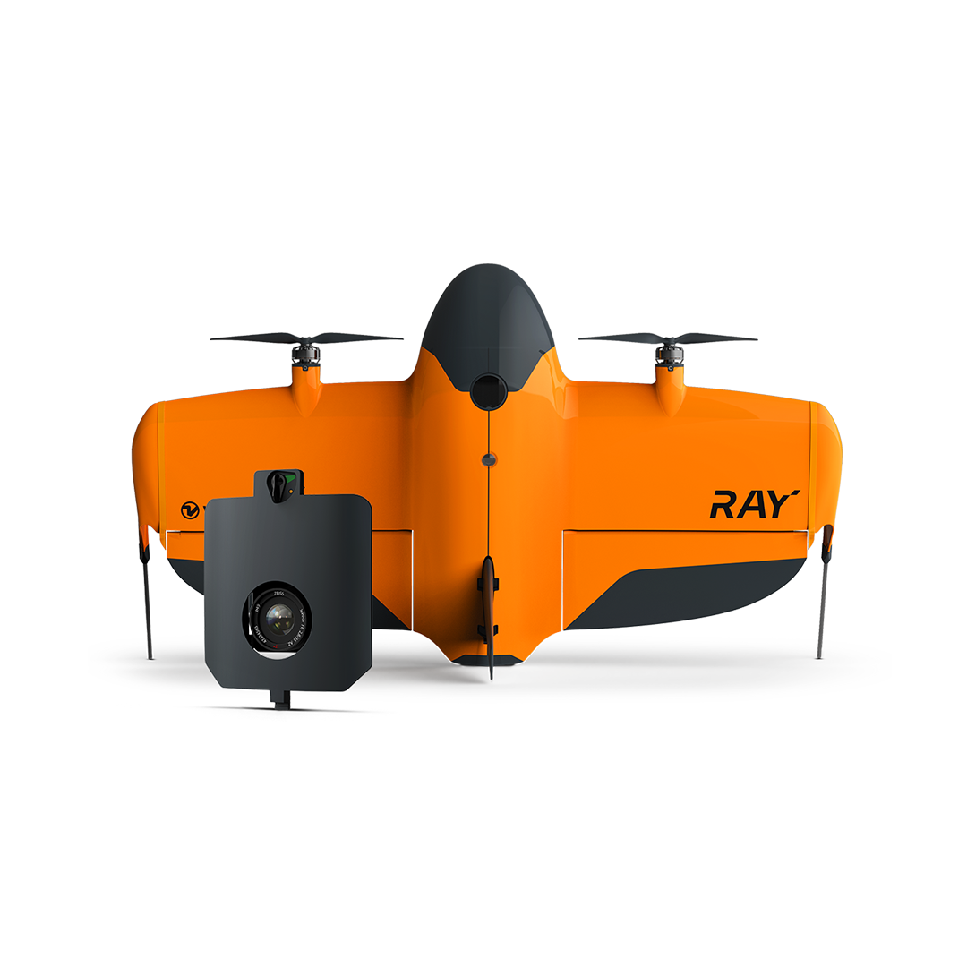
Payloads
Discover Wingtra payload capabilities
The WingtraRAY is capable of hosting a wide variety of payloads, to best suit your exact project needs. Wingtra Payloads include:
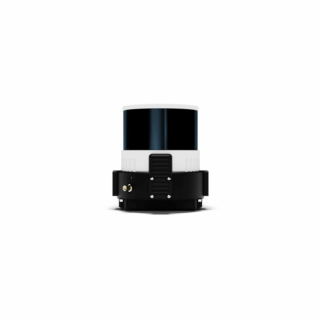
- WingtraLIDAR – From construction to forestry, Wingtra LIDAR provides accurate insights to support complex, real-world applications.
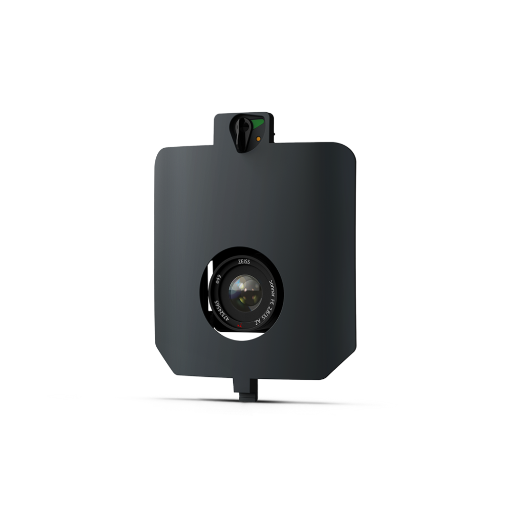
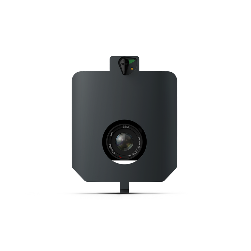
- WingtraRGB61 – On sunny or cloudy days, choose RGB61 lighting levels right in the app for better color saturation and contrast for sharp details.
- WingtraINSPECT – Get up to milimeter-resolution for inspections.
- WingtraSURVEY61 – High-quality photogrammetry with survey-grade accuracy. This makes it a game-changer for survey applications with up to 0.25cm/px GSD!
The WingtraRAY is also compatible with third-party sensors, including the impressive MicaSense RedEdge Panchromatic.
On paper, many drones claim good specs. In the field, few deliver consistent results at scale. Here’s how WingtraRAY stacks up where it matters:
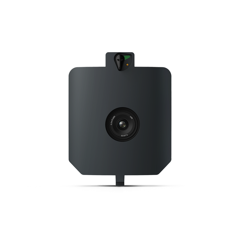
• Drone type: Tailsitter vertical take-off and landing (VTOL)
- Drone dimension: 125 × 68 × 12 cm (49.2 × 26.8 × 4.8 in) (without landing fin)
- Transport case dimension: 130 x 70 x 34 cm (51.2 x 27.6 x 13.4 in)
- Wind resistance: Max sustained wind: 12 m/s (27 mph)
- Maximum flight altitude above sea level: 5’000 m (16’400 ft) AMSL with high-altitude drivetrains
- Weather resistance: IP53, not recommended to fly in fog, rain and snow
- Operating temperature: -10 to +40 °C (+14 to +104 °F)
- Primary data link: Type: Telemetry radio / Range: 10 km (6 mi) in direct line of sight, obstacles reduce the range
- Secondary data link: Type: LTE with global roaming SIM card / Range: Unlimited with mobile network coverage
- Onboard GPS: GPS, GLONASS, Galileo, and BeiDou
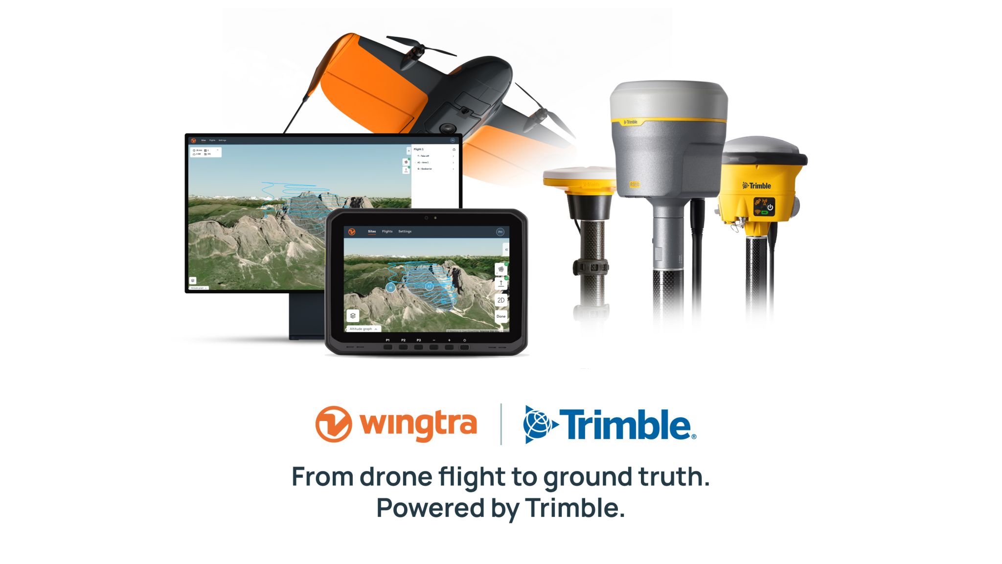
Work smarter
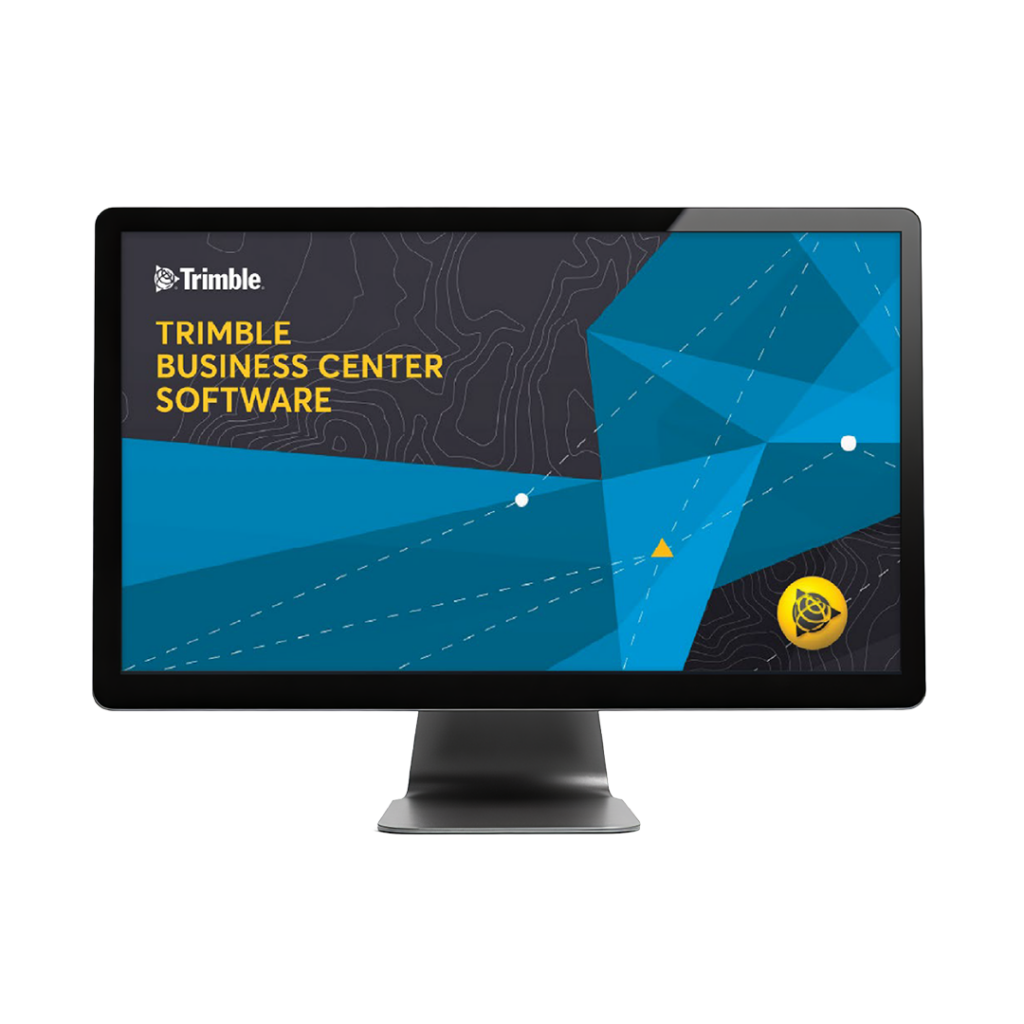
Now Trimble and Wingtra work together even better
- Get more integrated drone and ground workflows, with fewer steps, fewer files, and fewer errors
- Direct drag-and-drop of .JXL files into WingtraCLOUD
- T02/T04 support with no need to convert to RINEX
- Seamless coordinate transformation – zero manual setup
- Surveyors using Trimble Business Center can now plug directly into WingtraCLOUD, meaning time-consuming file prep is gone, and data is in the right co-ordinate system, right away.
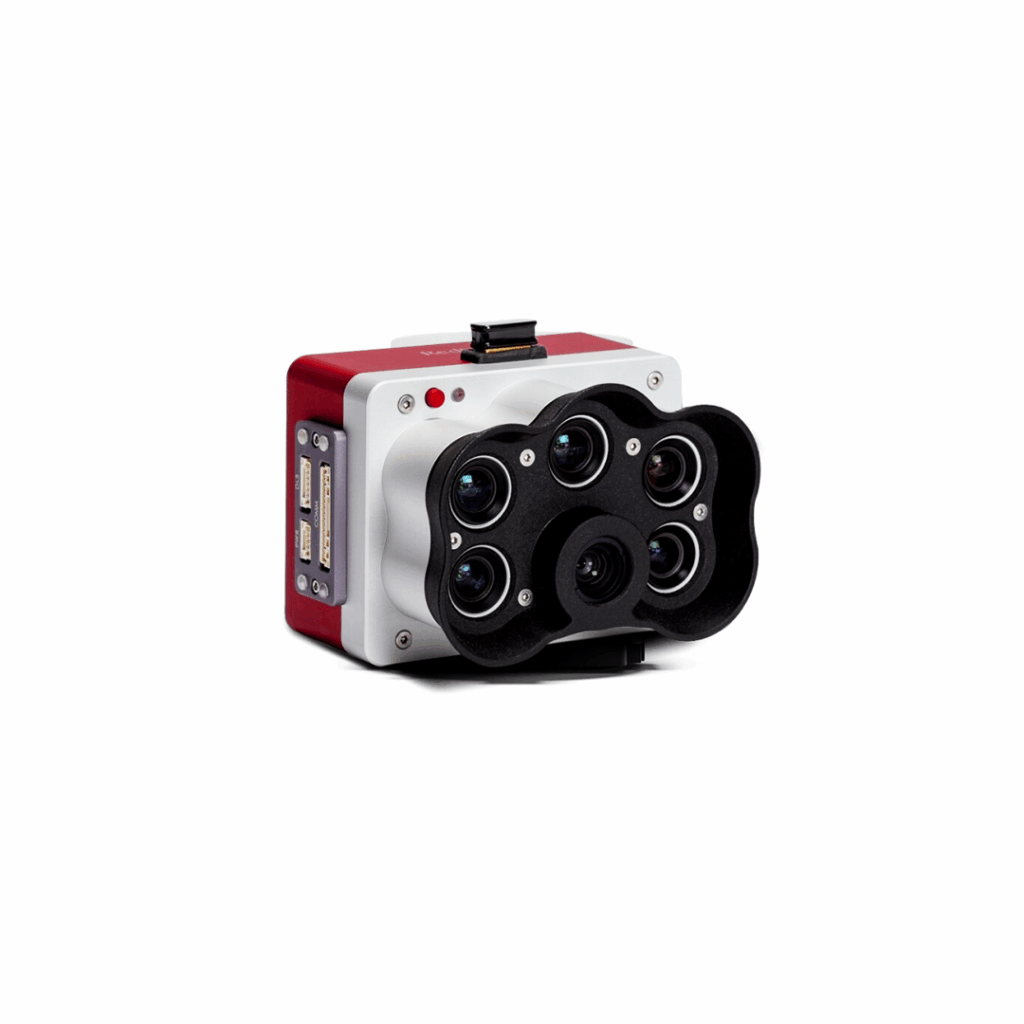
MicaSense RedEdge Panchromatic (RE-P)
Wingtra's premium multispectral camera
£POA
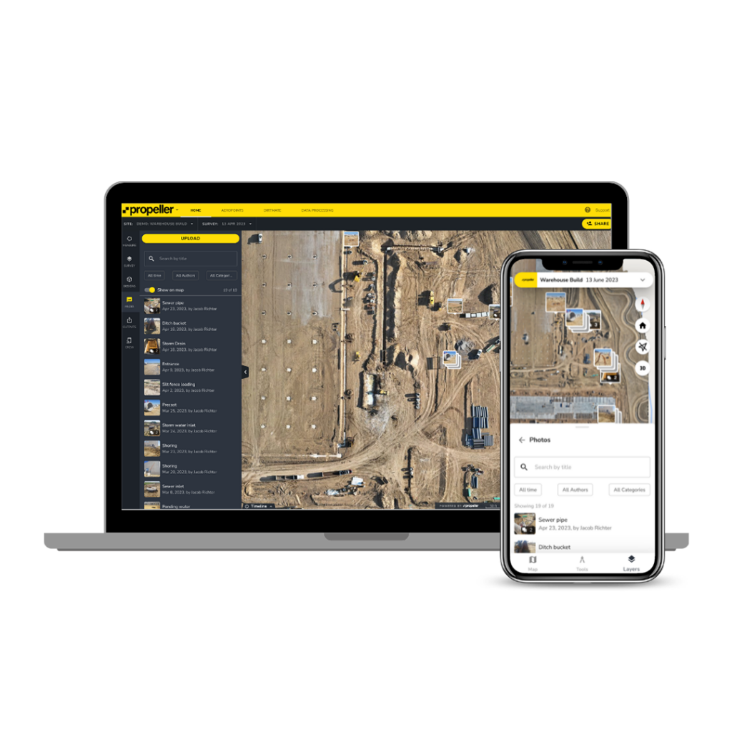
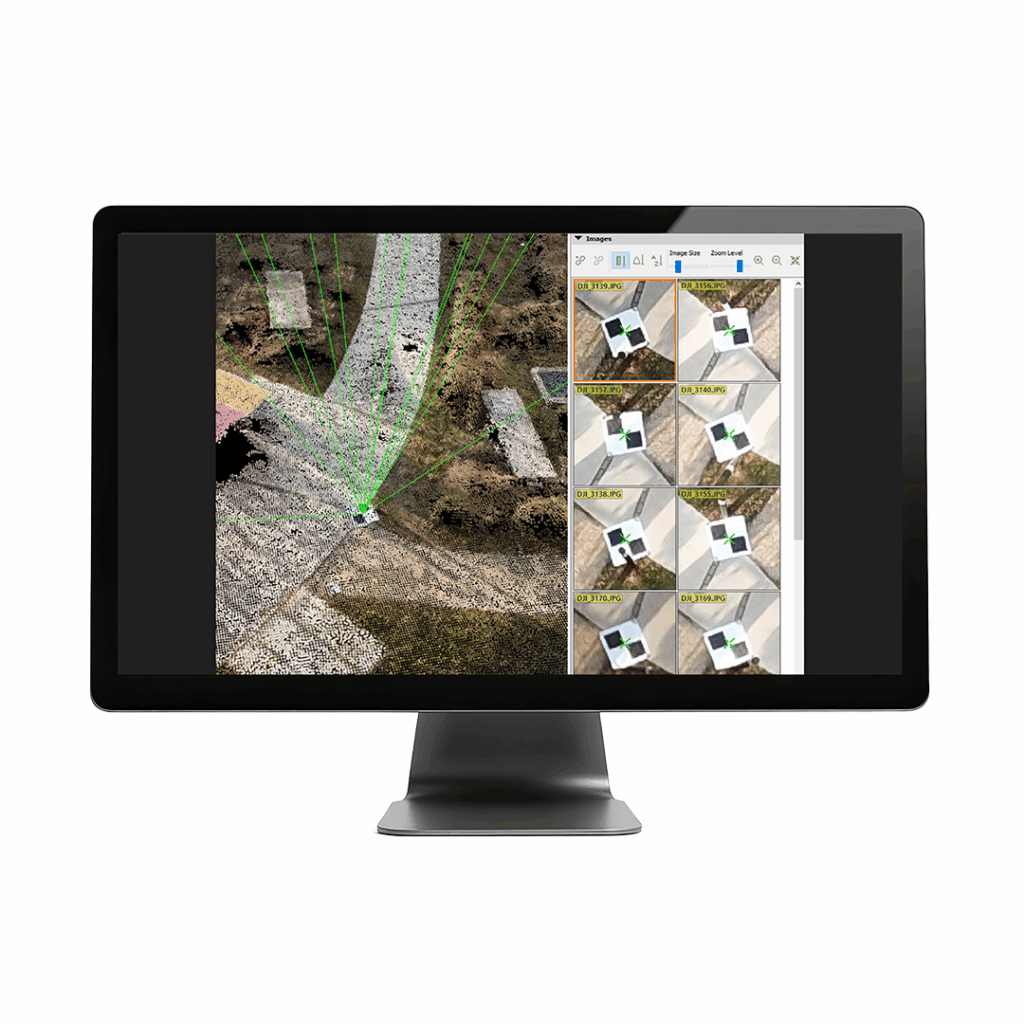
WingtraCLOUD
A user-friendly, powerful way to maximize drone data scalability
£POA
Pix4D Mapper
Leading photogrammetry software for professional drone mapping
£POA
Trimble & Wingtra working together for better integration between Trimble Business Center and WingtraCLOUD
Discover WingtraCLOUD